Category Archives: Uncategorized

2026 Summer 200K Pre-Ride Report

General Info

Parking at the start has a two hour time limit so we parked in the large lot just on the other side of Woburn St.

This is a beefy ride with 8000ft of climbing. The start time is changing to 8:00 AM to allow for maximum daylight for those full value riders. Please ensure you have lights and reflective gear for the last hour just in case.

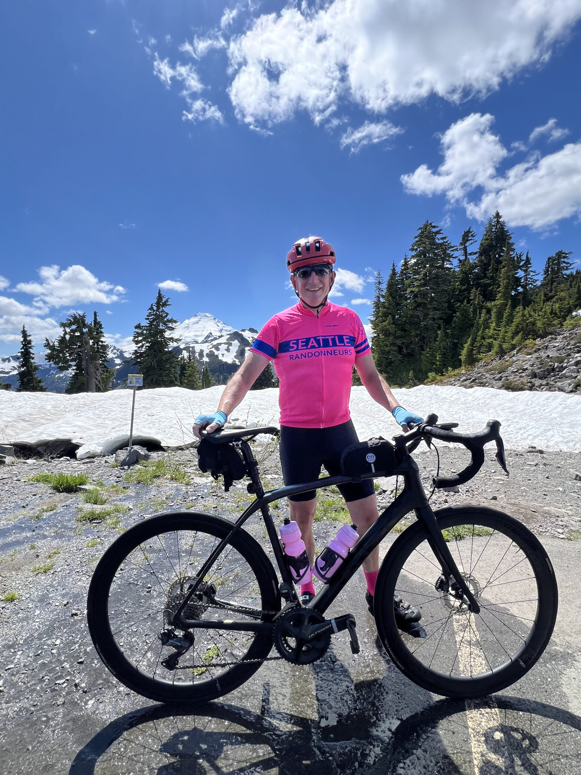
Once thing to note is that you are trending uphill for the first 70 miles with one major climb. Don’t panic if it seems to be pretty late in the afternoon when you are reaching Artists Point. For reference we took about 7 hours to the turnaround point and then 3 hours to the finish for the last 55 miles, I expect a rule of thumb of about 50% of whatever time it takes you to get to the top for the remainder of the ride to hold up.

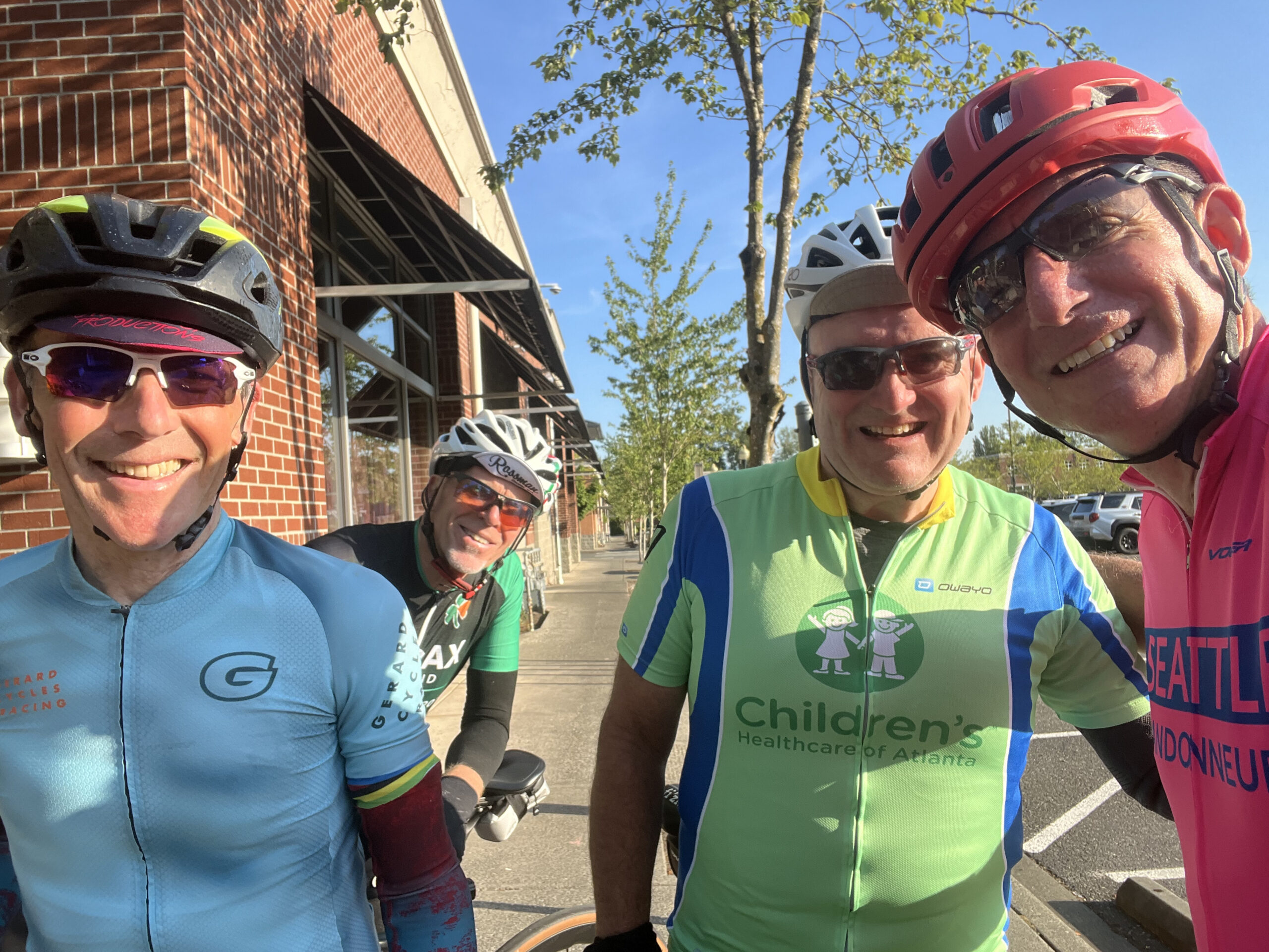
This ride does have a fair bit of time on a major road (Highway 542) and traffic is likely to be heavy. There is an intermittent shoulder on the highway and we did encounter a few impatient drivers. We were in a group and felt relatively safe throughout but it is worth calling out so that people can make the right decision for their personal comfort level.

Be careful on the descent from Artist’s Point, the road is broken up and cracked on some of the corners. If you pay attention it’s fine but you don’t want to go full gas from the top.

Both Hannegan Road and Highway 542 had intermittent rumble strips which were at times hard to see.

On to the ride…

Details

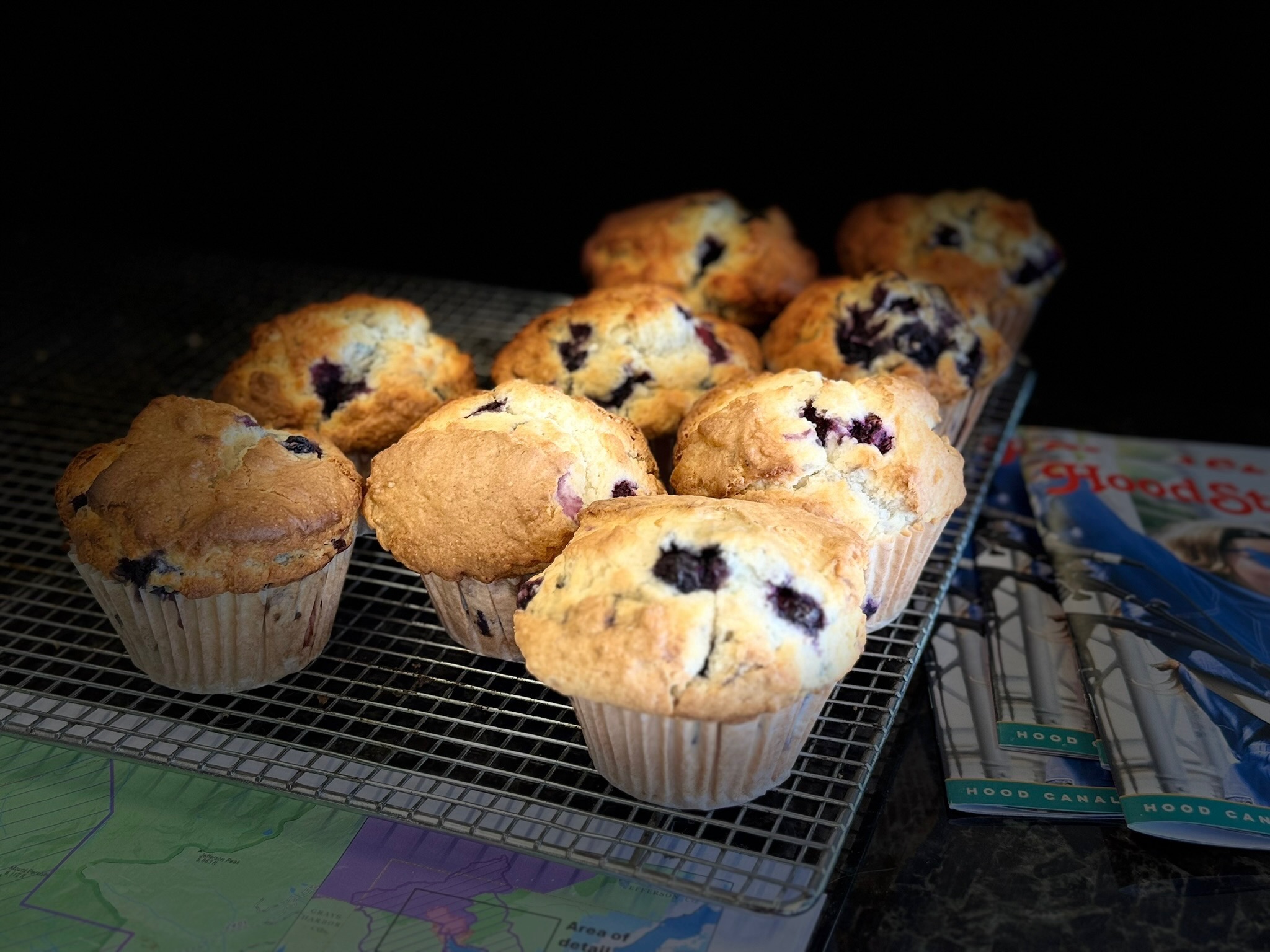
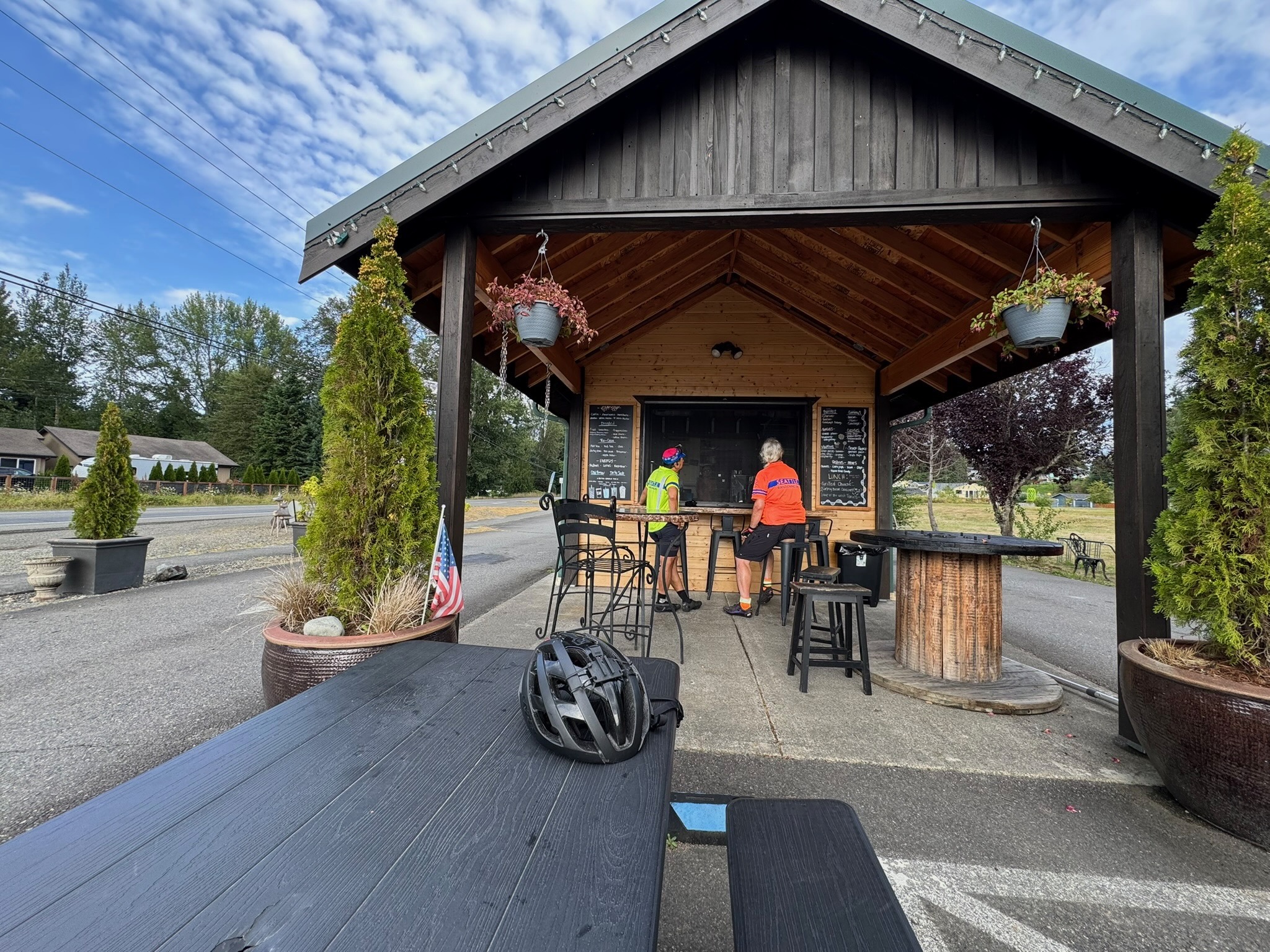
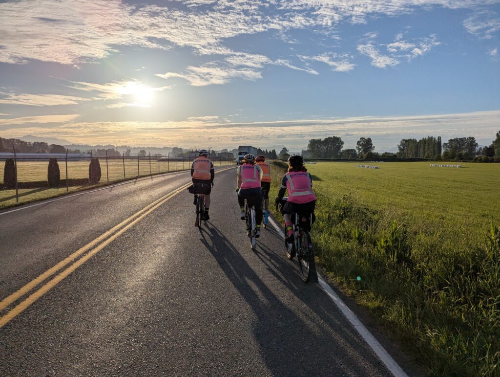
The ride starts with a straight shot north up Hannegan Road to Lynden. Fine shoulder and low traffic on a standard country road. There is a nice bakery on the corner of Front and 5th if anyone wants a quick pastry early in the ride. Bob was sad we didn’t stop.

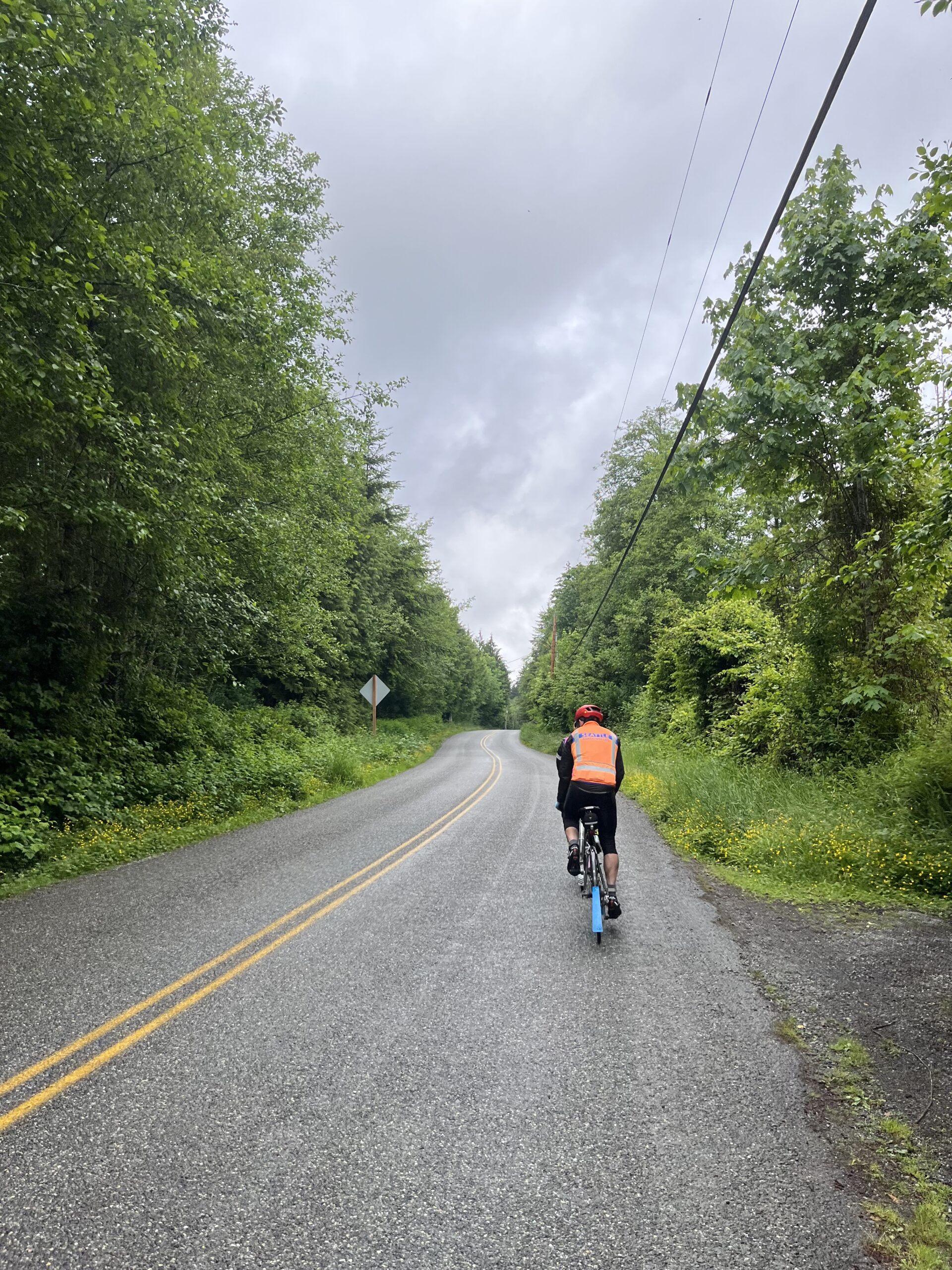
Leaving Lynden there’s a funky three-way stop where it wasn’t obvious that oncoming traffic didn’t have a stop sign so be cautious as you get on Hampton Road. South Pass is a bucolic rolling country road after which you’ll turn right for a slight downhill run down Kendall to join 542.
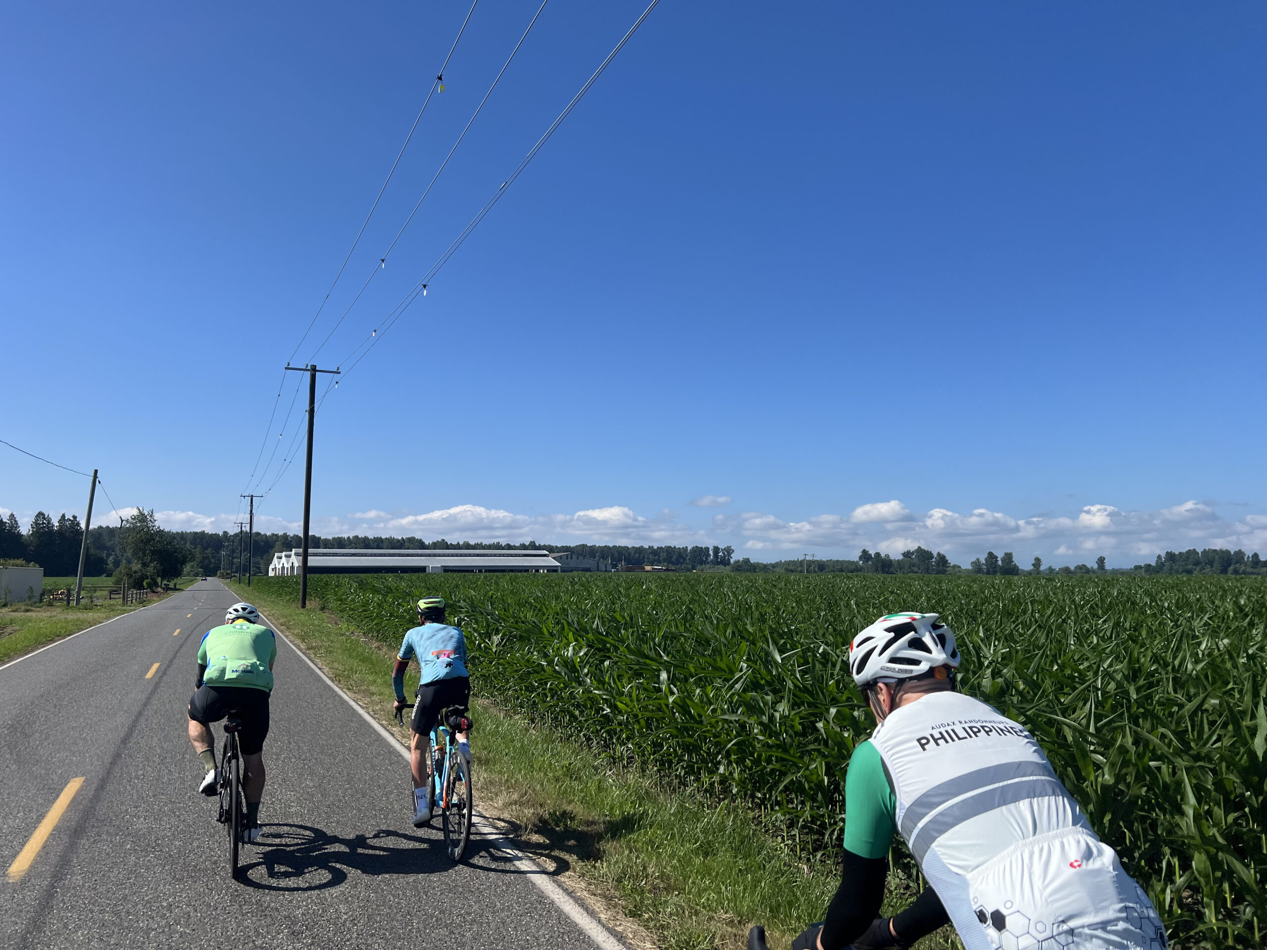
At this point it’s a straight shot along 542 until the road ends at the top at Artist’s Point. We stopped at Glacier for snacks and a chance to refuel before the main climb.
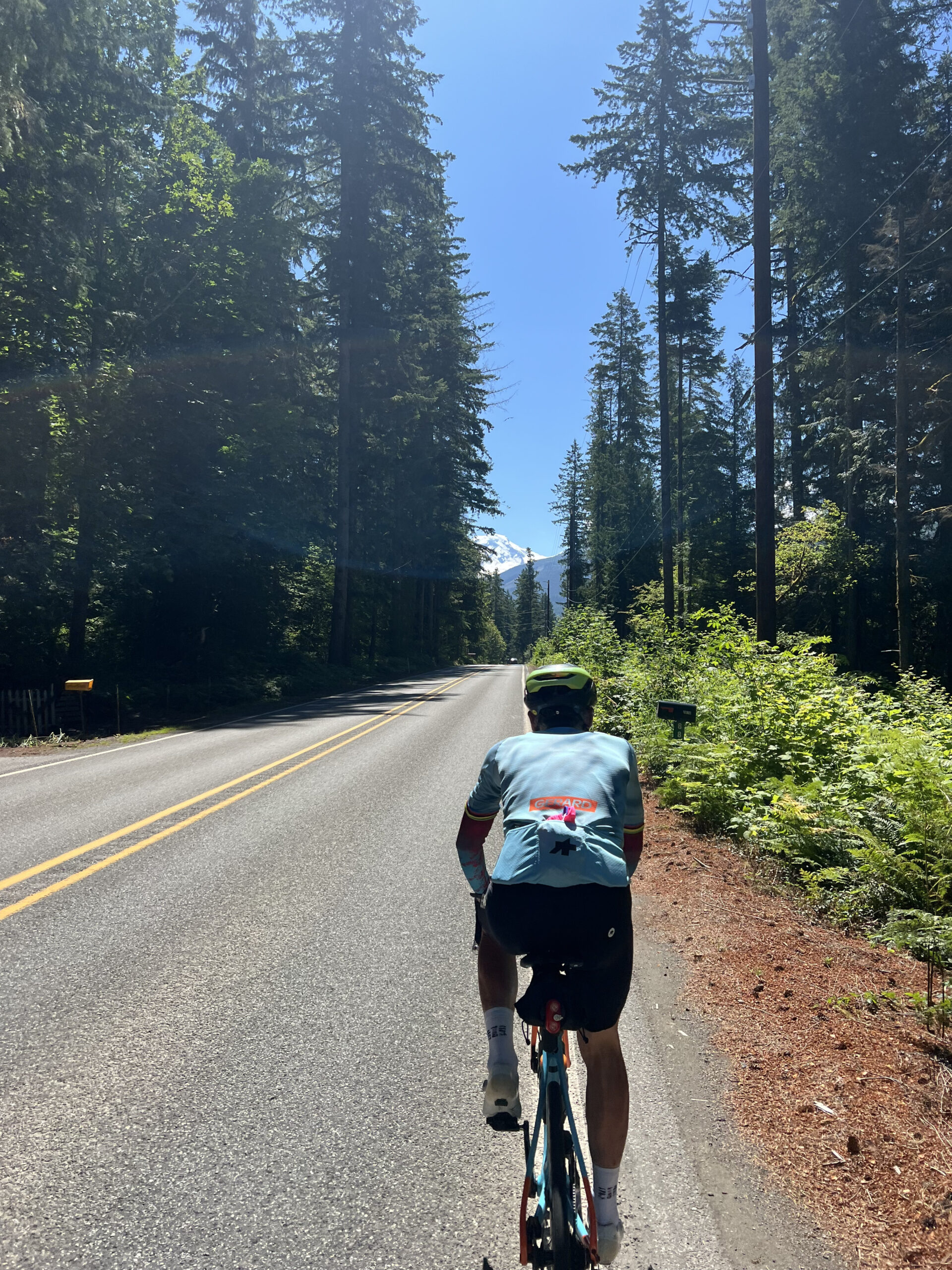
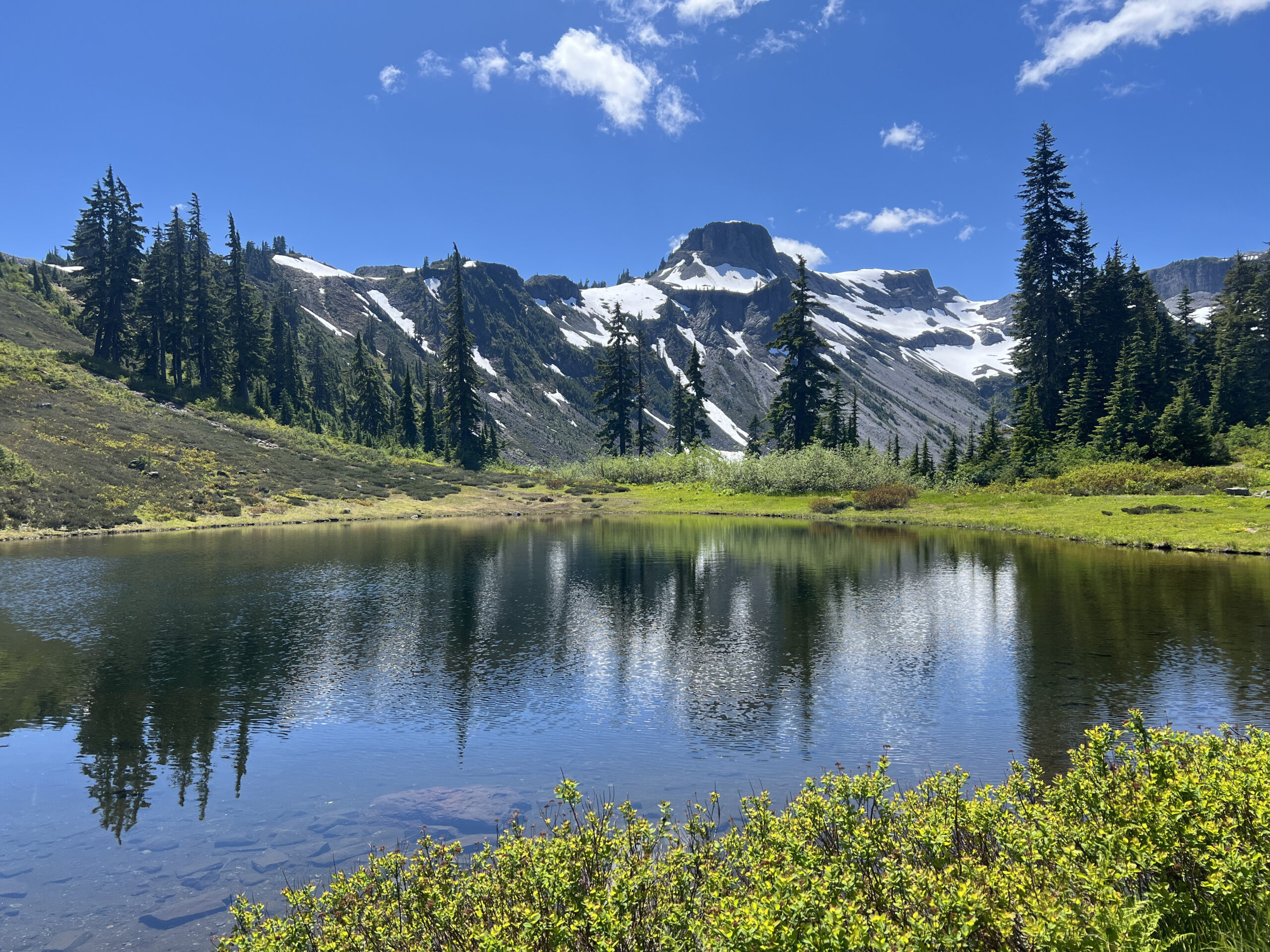
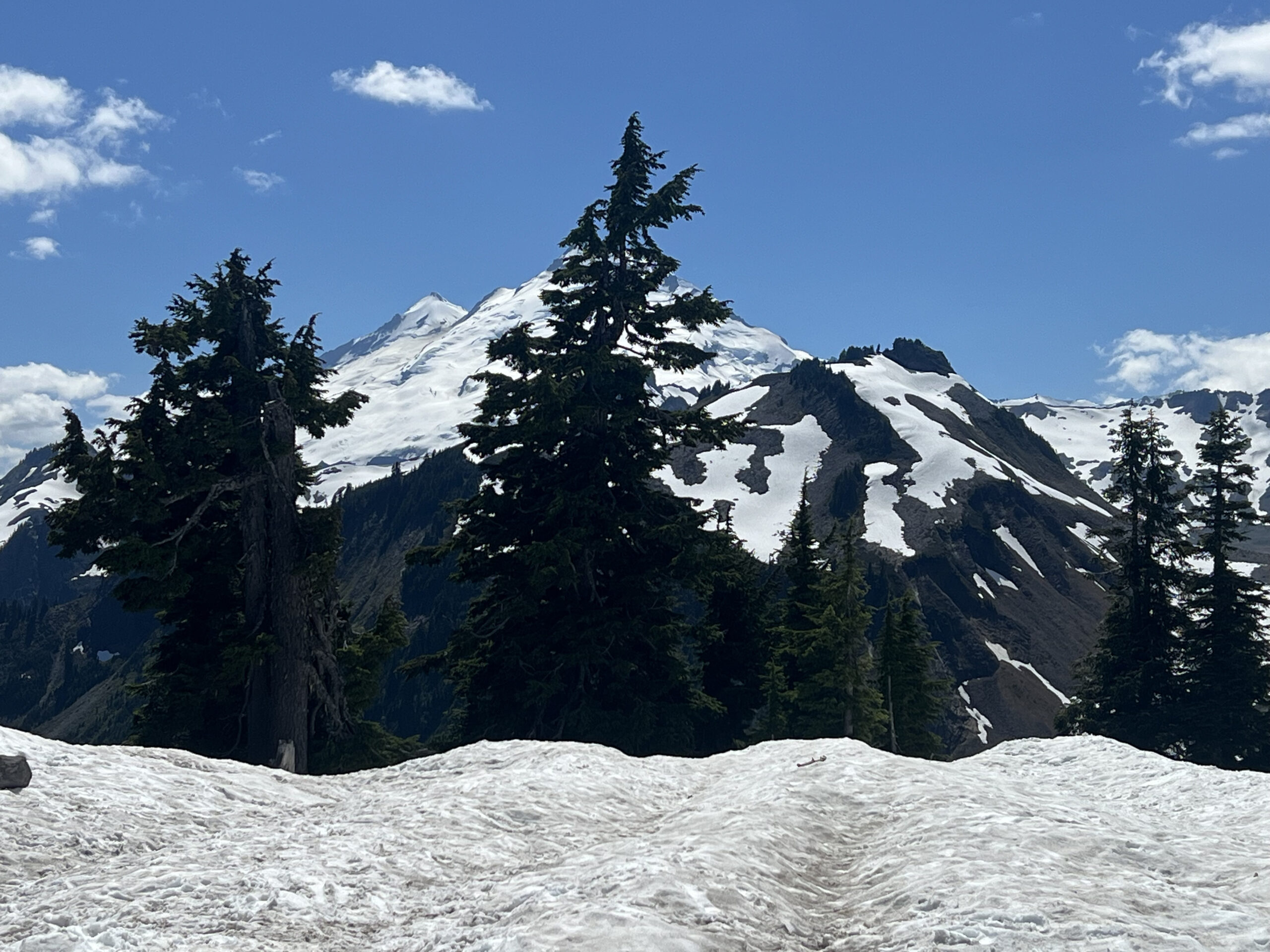
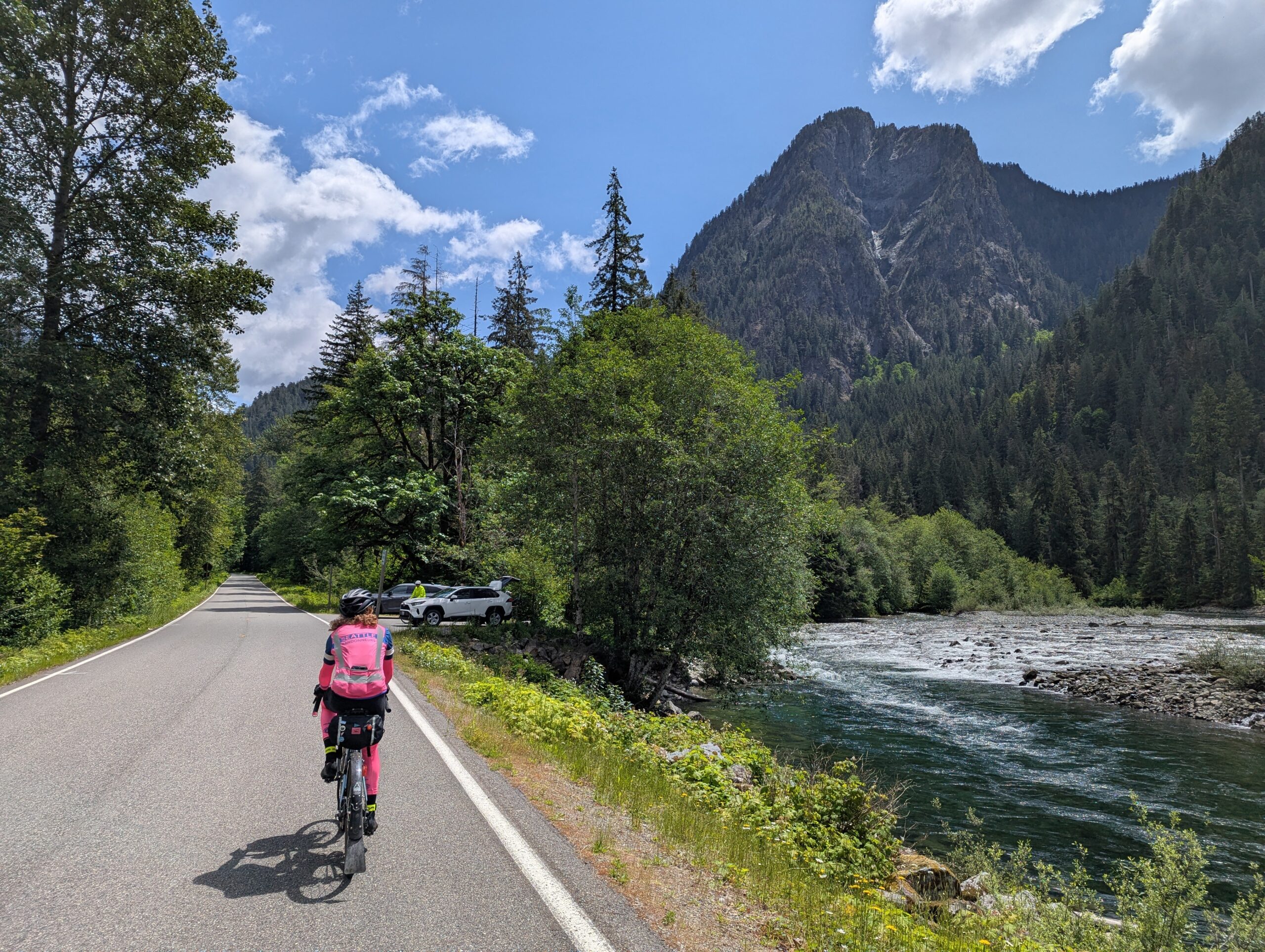
You’ll get glimpses of the mountains ahead as you approach Glacier. The main climb is in two parts, the first 12 miles from Glacier has a number of up and downs before reaching the WSDOT Shuksan Maintenance Shed at which point the main steady 10 mile climb starts. Settle in and enjoy the views on the way up.
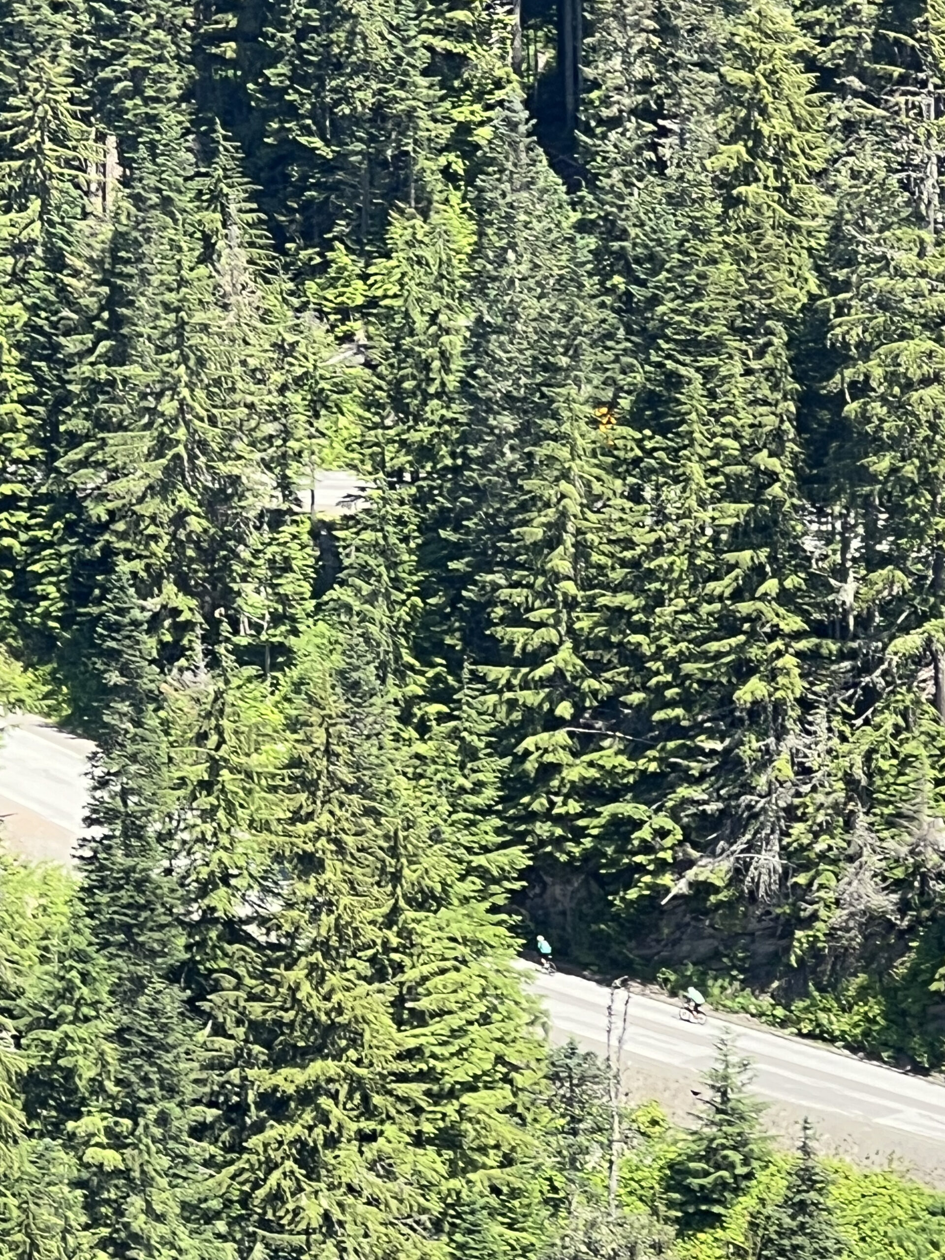
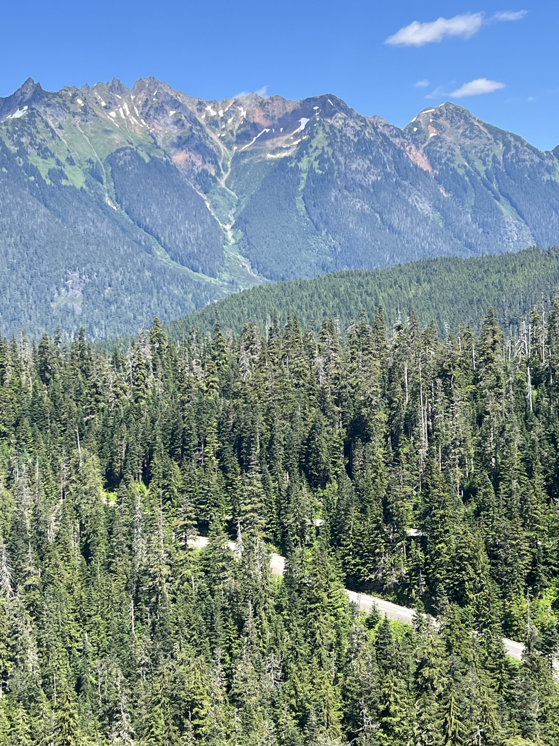
I recommend stopping at the Heather Meadows Day Lodge on the way down for food, drinks and decent toilets. It’s about 3 miles from the summit and well advertised.
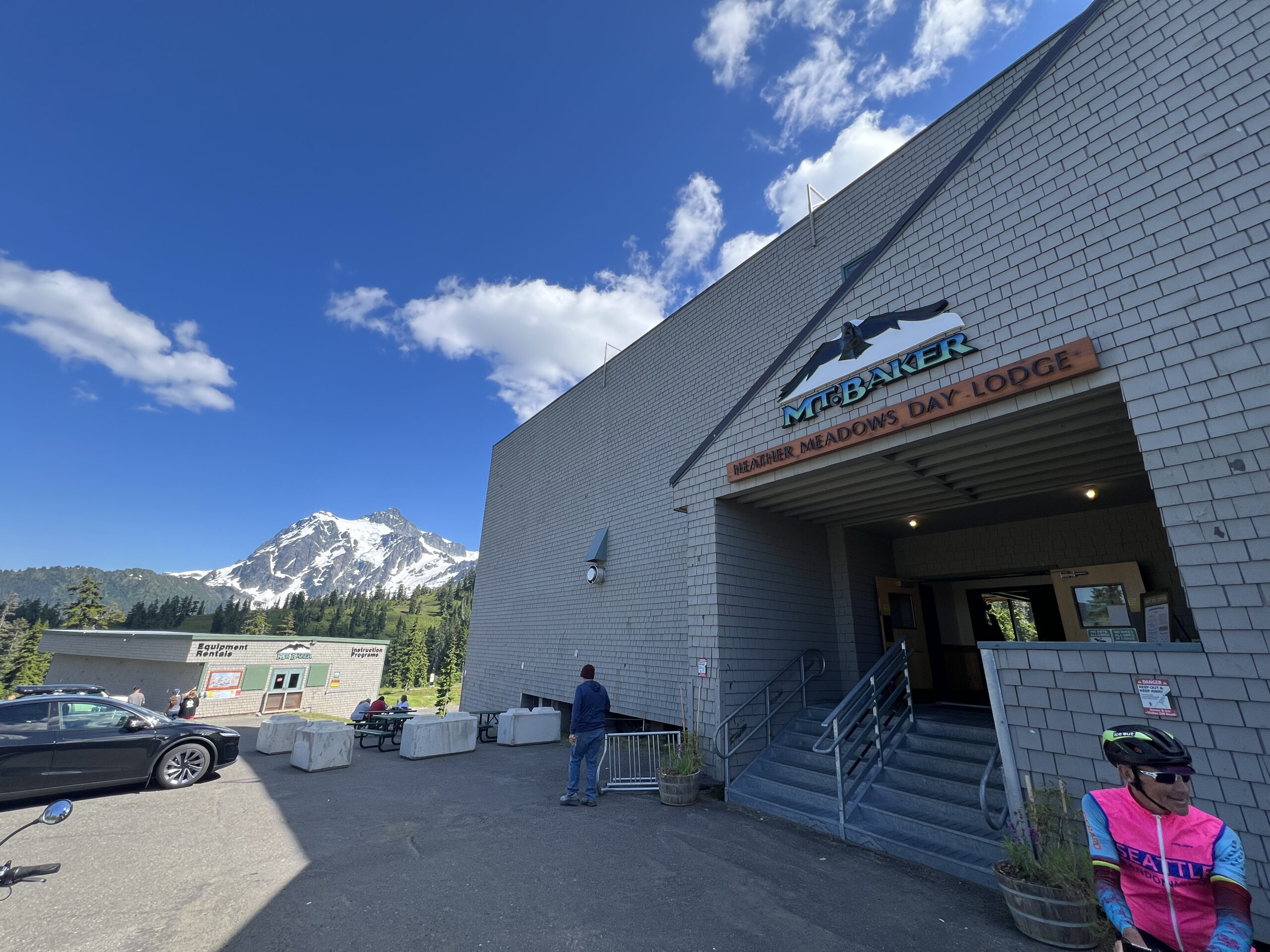
Be careful on the descent as the pavement has some cracks at odd angles, particularly on some of the corners in the first half of the descent. Enjoy the way down, resupply at Glacier if needed and then cruise along 542 to the finish. There are a couple of parallel roads used when available on the way to the finish.

These are two different scenic stretches of a couple of miles each. There are also no shortage of gas stations and grocery stores along the way if any additional supplies are needed.

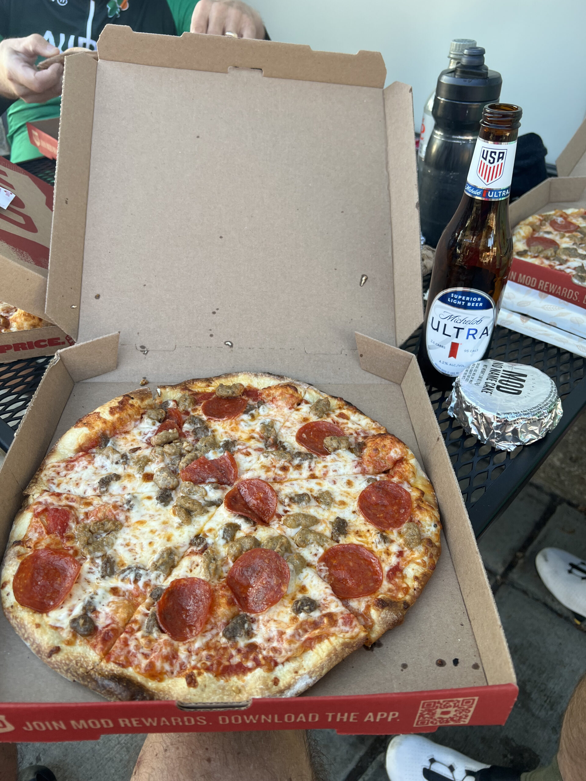
I’ll see you at the finish at MOD Pizza.
Leave a Comment

Filed under Uncategorized

Green River Trail closed at Fort Dent

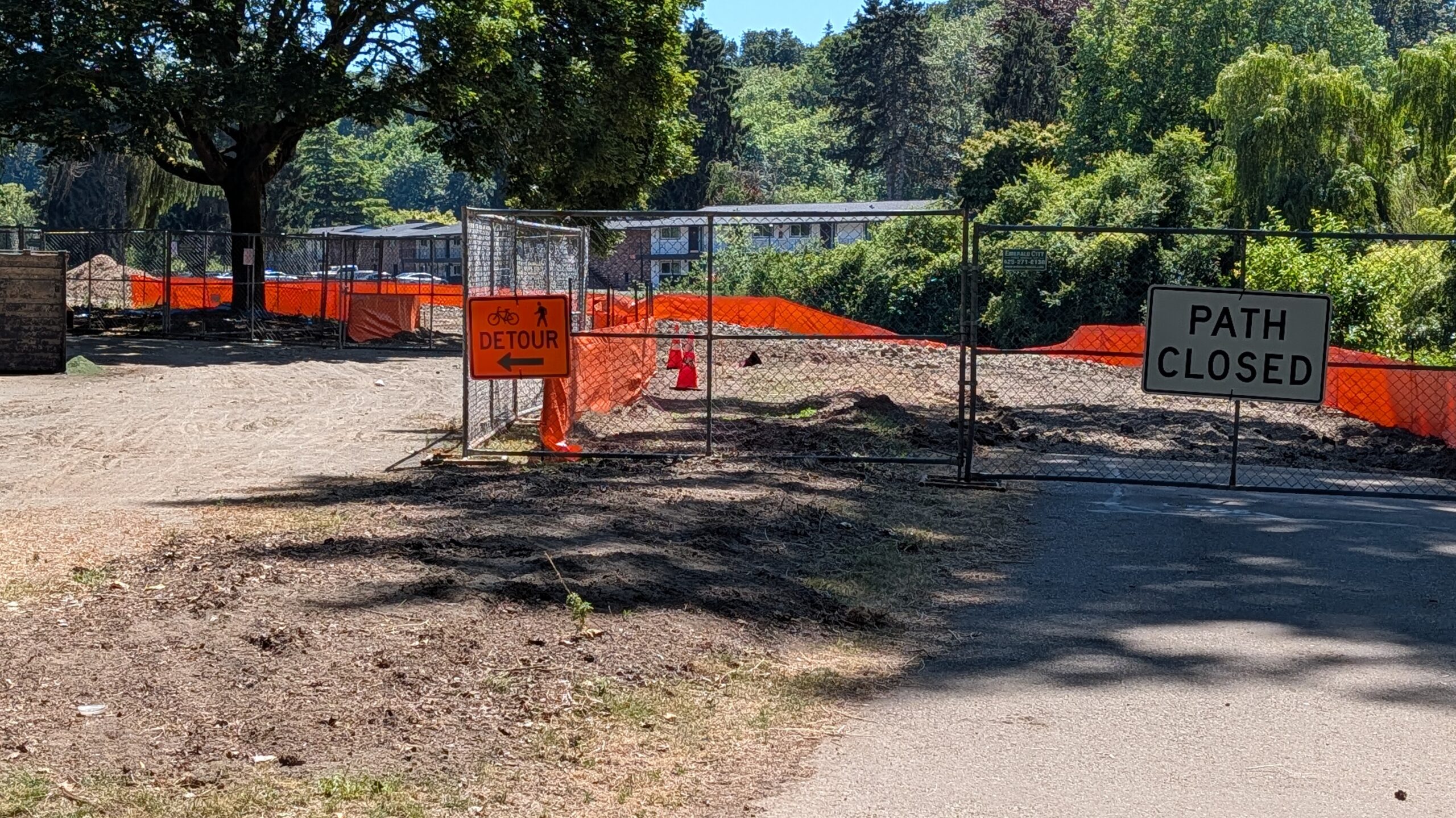
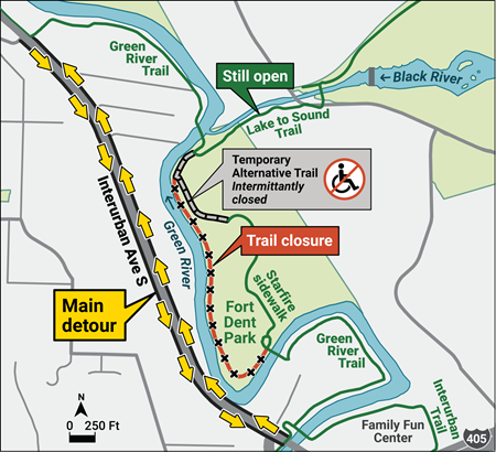
The Green River Trail is closed at Fort Dent through October 2026 as part of the levee reconstruction project. Although a temporary trail has been built around the construction zone, do not use it. The surface is very slow, loose shredded bark, and the trail is not guaranteed to always be open. The detour is to ride on the sidewalk along Interurban Ave S or in the roadway.

King County

At the north, the detour begins at the casino, at S 141st/58th Ave S. Continue on the sidewalk instead of turning east on the GRT.

At the south, the detour begins at Fort Dent Way. Where the GRT and Interurban Trails meet Fort Dent Way, turn left toward Interurban Ave S, then right on the sidewalk along Interurban.

If your route uses the Lake to Sound Trail (formerly Black River Trail), it is still accessible from the GRT. At the casino, follow the GRT.

The following routes are affected. The detour has not been incorporated into the RwGPS files. The detour is about 0.2 km shorter than staying on the GRT; rides that use the detour in both directions will be about 0.4 km short. Ensure that you ride some extra distance if necessary to meet the route’s official distance.

#00751 – Bremerton-Elma-Rainier-Seattle
#02597 – West Seattle Edgy
#02879 – Mercer Island-Auburn 
#04037 – Alki-Auburn Flat Cruise
#04334 – Newport-Sumner
#04341 – Newport Hills-Sumner-Orting-Buckley-Newport Hills
#05281 – Happy Trails 200k #05488 – Newcastle Beach – Sumner

Project webpage:
https://kingcounty.gov/en/dept/dnrp/nature-recreation/environment-ecology-conservation/flood-services/capital-projects-studies/fort-dent-levee-repair

Leave a Comment

Filed under Permanent Change, Permanents, Uncategorized

P2C closed again near Lake Easton

From Washington State Parks:

Emergency Closure: The Palouse to Cascades Trail will be closed near Lake Easton between Monahan Rd and Stampede Pass Rd from June 22 to July 13, 2026. During the winter there was a landslide that required this section of the trail to close. This closure is for large equipment to access the site to help with the stream diversion. There is no detour for this section. 

During the previous closure cyclists were informally allowed through the work site. There is no guarantee that will happen again. Let’s not slow the work down by trying to cross the work zone.

Many permanents on the trail are affected. Permanents still rideable are:

  • 03653 – Iron Horse Trail
  • 04882 – Snoqualmie Valley, Middle Fork, Snoqualmie Tunnel
  • 05081 – Iron Horse & Middle Fork

Comments Off on P2C closed again near Lake Easton

Filed under Permanent Change, Permanents, Uncategorized

East Lake Sammammish Trail will be severed June 1 until the End of the Year

King County

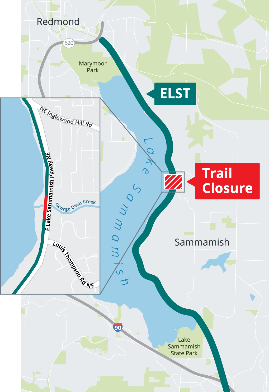
On June 1 King County will close the ELST through the end of the year for the George Davis Creek culvert replacement project. The location is midway between NE Inglewood Hill Rd and Louis Thompson Rd NE.

The trail will be completely severed during construction. Riders will have to detour to the adjacent East Lake Sammammish Parkway, if it too is not closed. A large number of permanent routes are affected.

According to King County, there will not be a bicycle detour. Typically this means no accommodation will be made for bikes on the road, such as a coned-off lane or wayfinding detour signs.

The culvert under East Lake Sammammish Parkway will also be replaced. The status of the Parkway during construction is unclear. Official messaging has been inconsistent. The latest verbal information an SIR member obtained from the City of Sammammish is that the road will remain open. Likely there will be delays at the construction zone.

Presuming the Parkway remains open, riders can detour on the Parkway. We do not know exactly where the north and south ends of the closure will be, so right now cannot recommend where to exit to the Parkway and later return to the trail. Keep in mind property owners adjacent to the trail are jealous of their private roads and driveways.

In the event the Parkway is entirely closed, riders will have to climb and descend Louis Thompson and Inglewood Hill Rds along with detoured car traffic. In this case, routes not using the ELST will be more attractive.

Stay tuned.

Links:

https://kingcounty.gov/en/dept/dnrp/nature-recreation/parks-recreation/king-county-parks/trails/leafline-trails/east-lake-sammamish/#elst-closure-anchor-link

https://www.sammamish.us/news/2026-construction-projects and search for “trail”.

Comments Off on East Lake Sammammish Trail will be severed June 1 until the End of the Year

Filed under Permanent Change, Permanents, Uncategorized

2026 Waterville Gravel Populaire Pre-Ride Report

Text by Scott Stroming as told to shiggy, photos by Scott Stroming.

112K, 4000′ of climbing.

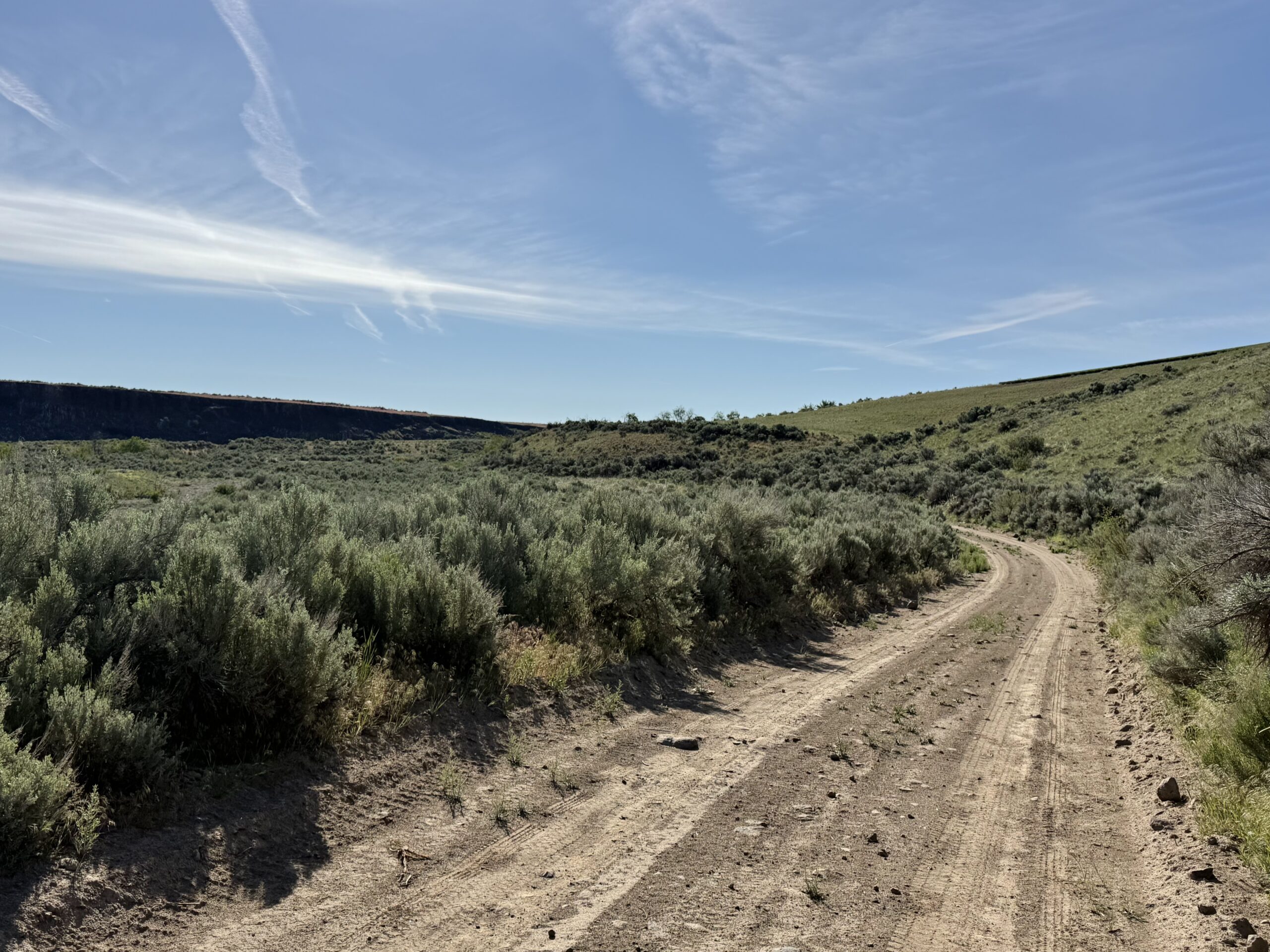
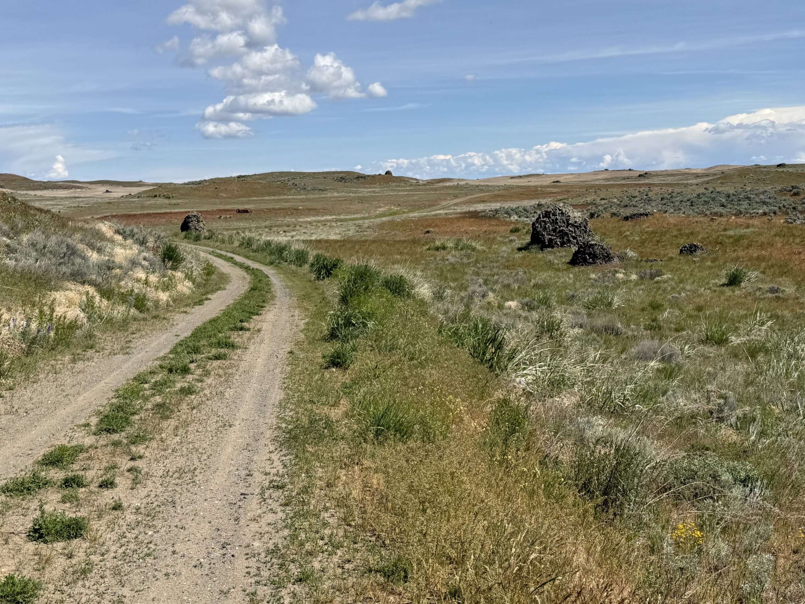
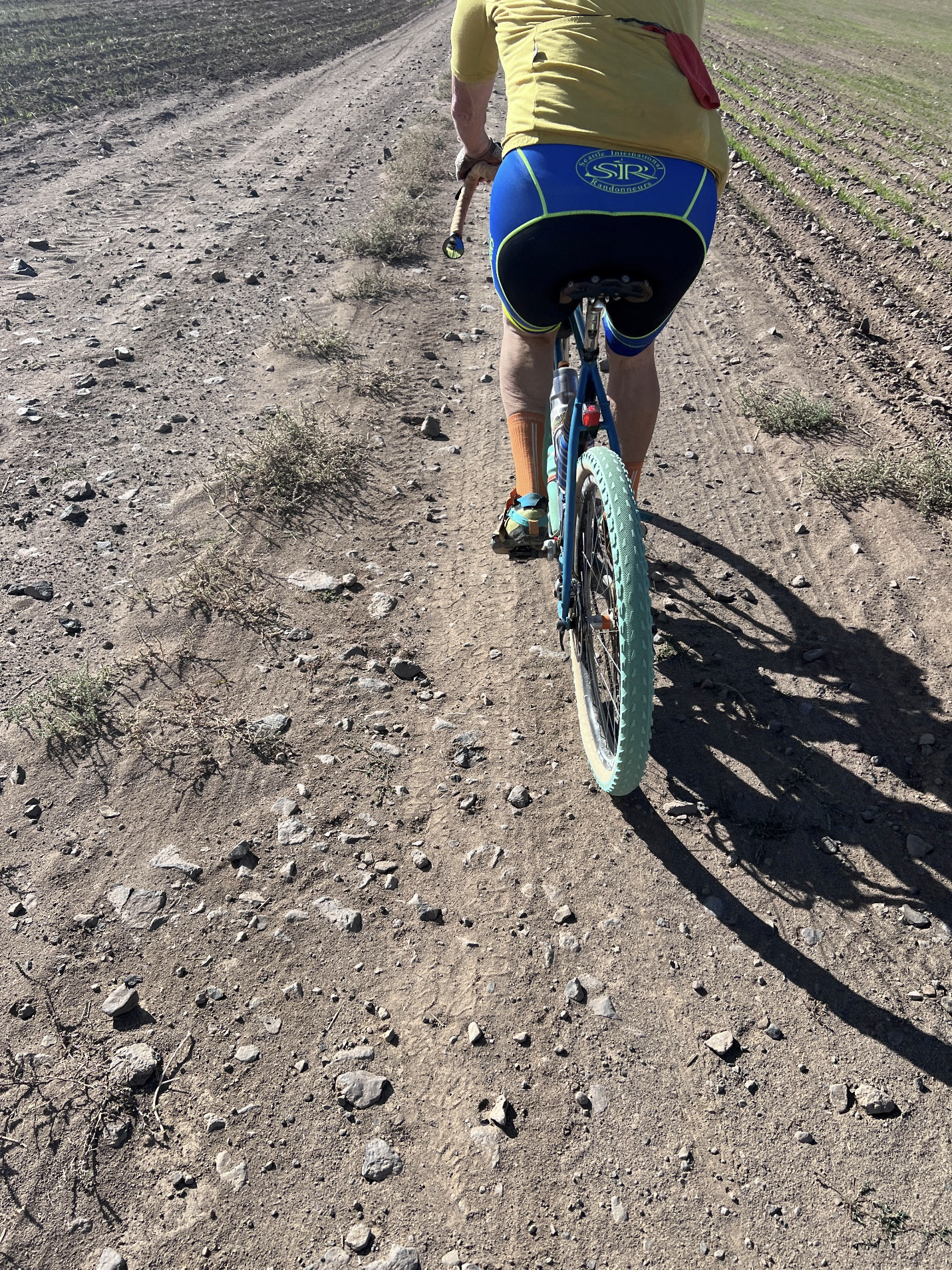
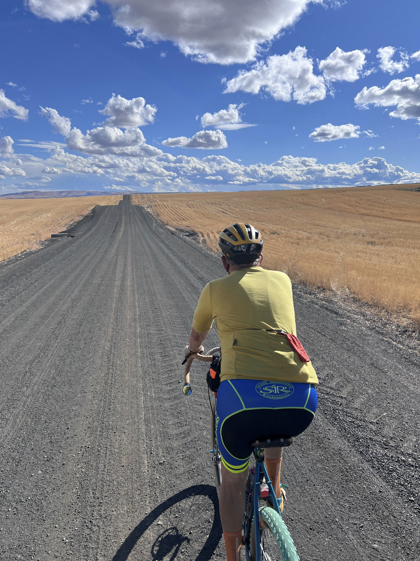
A beautiful spring ride that exceeded my expectations, south to Douglas Creek all the way north to the ancient glacial moraine, magnificent views west and north, lots of single lane double track—and I thought I already knew the Waterville Plateau!

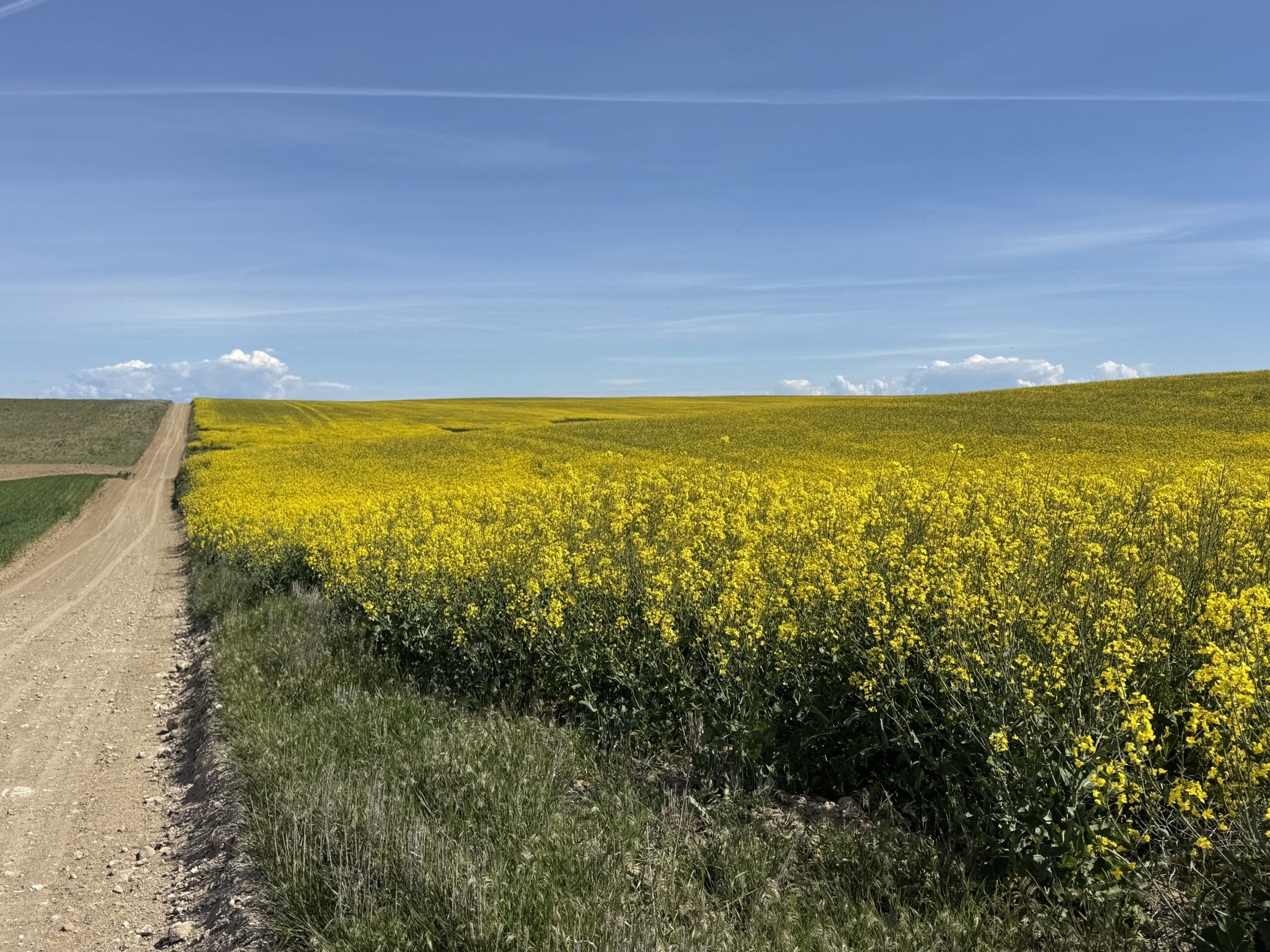
Its a great course running through the upper part of the Douglas Creek canyon into the sage steppe and wheat fields to the Withrow Marine at the north end and back. Ever changing surfaces and vistas. Plus the wildflowers are popping, the canola in bloom (yellow fields) and the wheat is knee high.

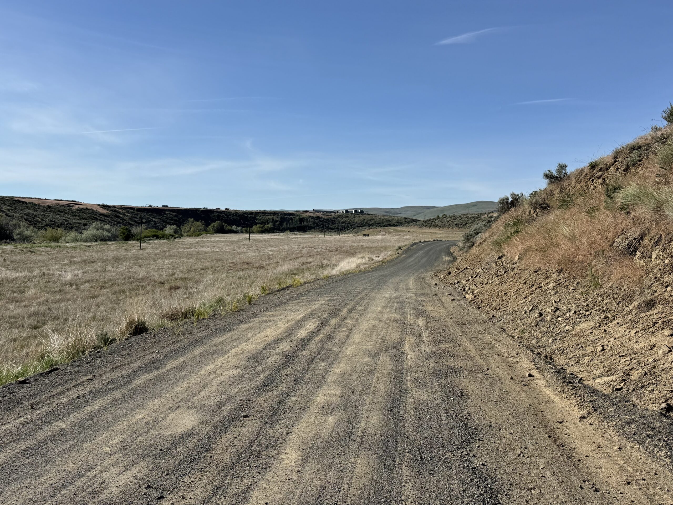
There are three types of gravel and I want people to know that I feel like this isn’t a fast course. I think the course needs to be ridden with wide tires and attention:

  • There is the gravel for the wide roads which has pretty high rolling resistance.
  • Then there is dirt, which is a lot of fun.
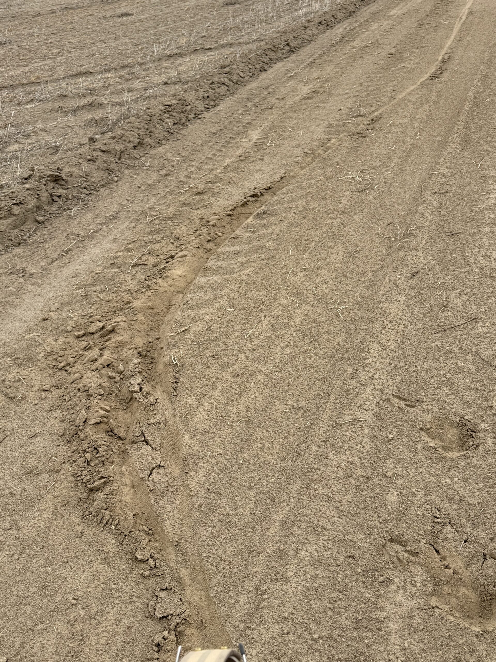
  • The third is the silt, almost sand. It has been packed down by rain, but you can’t easily tell when it’s going to get really deep and soft.

Be cautious when going into dips and the steeper descents which can have rocks and ruts with sand at the bottom so you really can’t let it rip.

I wish I had tires with a bit more tread and width for traction.

The forecast is good of Saturday with mild temperatures, light winds and the possibility of scattered thundershowers.

Comments Off on 2026 Waterville Gravel Populaire Pre-Ride Report

Filed under Uncategorized

Rerouting near the east end of the Cedar River Trail

3/7/2026

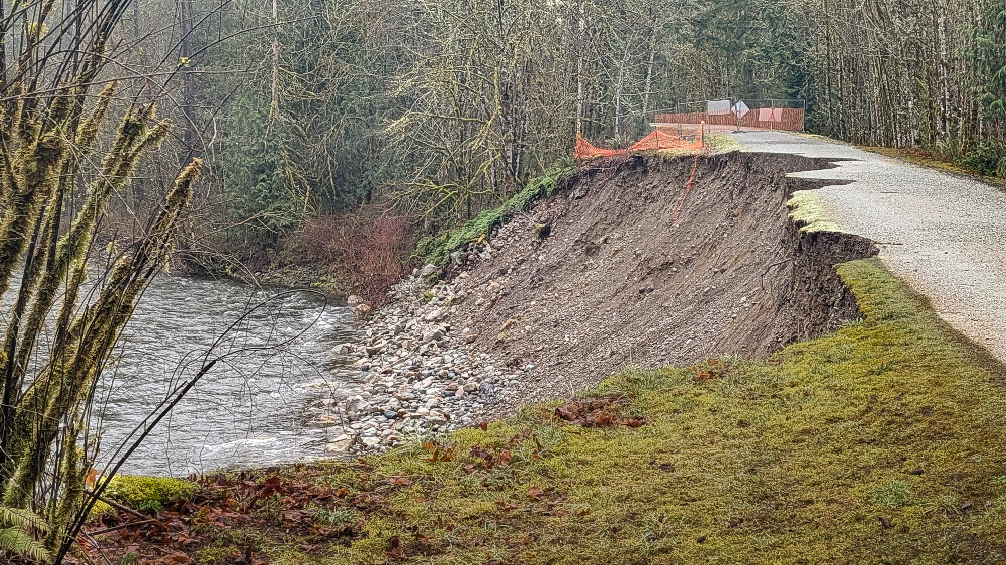
High river flow during the storms in December 2025 scoured and destabilized the embankment that carries the Cedar River Trail about three miles from the trail’s eastern end at Landsburg. The embankment and trail surface have eroded significantly in the last month. The trail will likely collapse soon. Crossing the closed section of the trail is far too dangerous, despite local residents continuing to walk and bike across it.

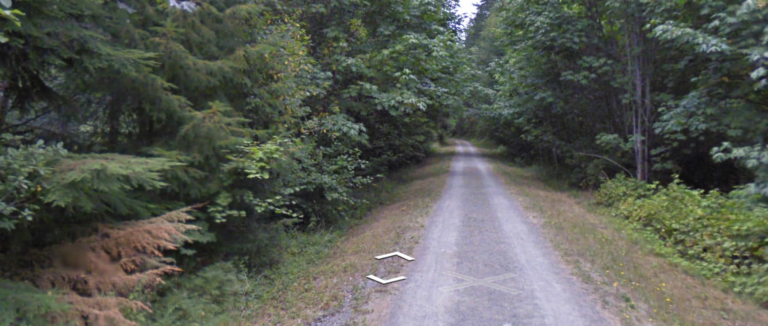
Most people were probably unaware the trail was so close to the river here.

Google Street View

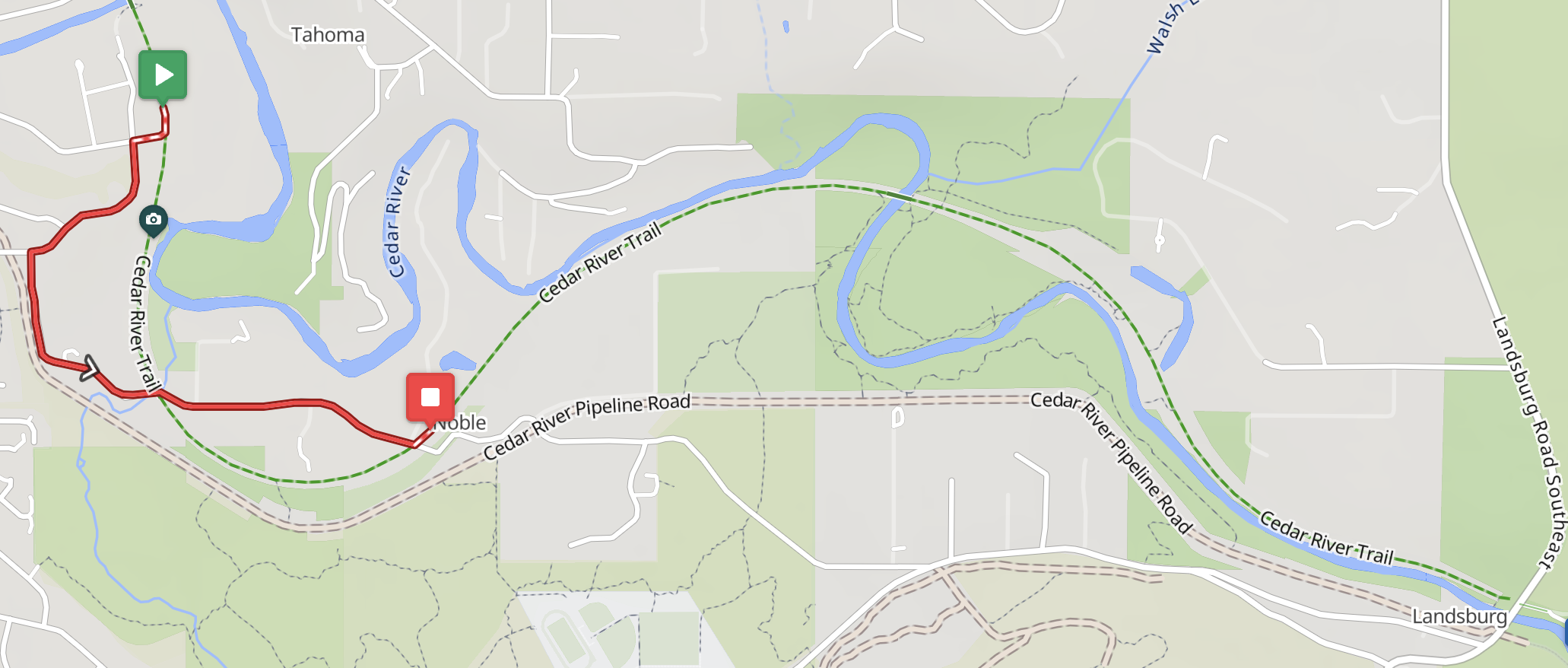
King County has furnished no information about repairs. Given that the embankment is not a levee protecting a flood zone, repairing the trail probably has low priority. Fortunately the damaged section can be bypassed on residential streets:

RWGPS Cycle map

Four permanents have been rerouted. The routes are slightly shorter and lost some gravel credit, but gained a 15% surprise.

0401 Leschi-Auburn-Leschi

0848 Mercer Island-Selleck

1076 Southern Exposure

5709 Cedar River Wilderness Run

Comments Off on Rerouting near the east end of the Cedar River Trail

Filed under Permanent Change, Permanents, Uncategorized

Snoqualmie Valley Trail Closure near Rattlesnake Lake

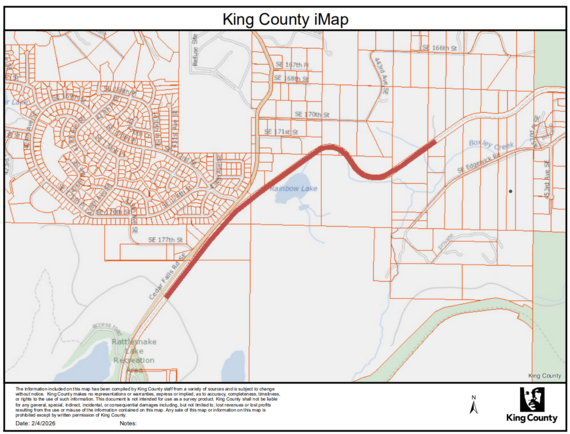
Note Rattlesnake Lake at lower left

The last mile or so of the Snoqualmie Valley Trail is closed to bicycles and pedestrians very close to Rattlesnake Lake. The trail is being used for vehicle access to residences on Edgewick Rd while Edgewick is being repaired. Edgewick is not a detour option. The SVT should reopen in early April according to King County.

Detour options are not good. The route beginning with 136th Ave SE at I-90 is strongly discouraged due to extreme grades, poor sightlines, and fast drivers. A safer option is to follow permanent 4078 Snakebit backwards from North Bend. This is a substantially more difficult route than the SVT’s nice railroad grade. The best option is probably to choose other routes while the SVT is closed.

Note that permanents continuing up the Palouse to Cascades Trail (Iron Horse) past Rattlesnake Lake are deactivated due to the serious washout that occurred in December. The rideability of most of those routes is moot anyway while the Snoqualmie Tunnel is closed for winter.

Comments Off on Snoqualmie Valley Trail Closure near Rattlesnake Lake

Filed under Permanent Change, Permanents, Uncategorized

2025 Summer 600K Pre-Ride Report

Text by Sharan Daniel, photos by Sharan Daniel, Jason Hansen, Mitch Ishihara, Keith Moore, and John Nguyen

This brevet updates RUSA route #756, which some riders remember fondly from 2013. The first day, 383 km, takes you to the coast and back to Centralia. The second day, 220 km, takes you into mountains with stunning descents and lakes. While you pass through some remote areas, there are services about every 50 km, with an exception or two, as noted below.


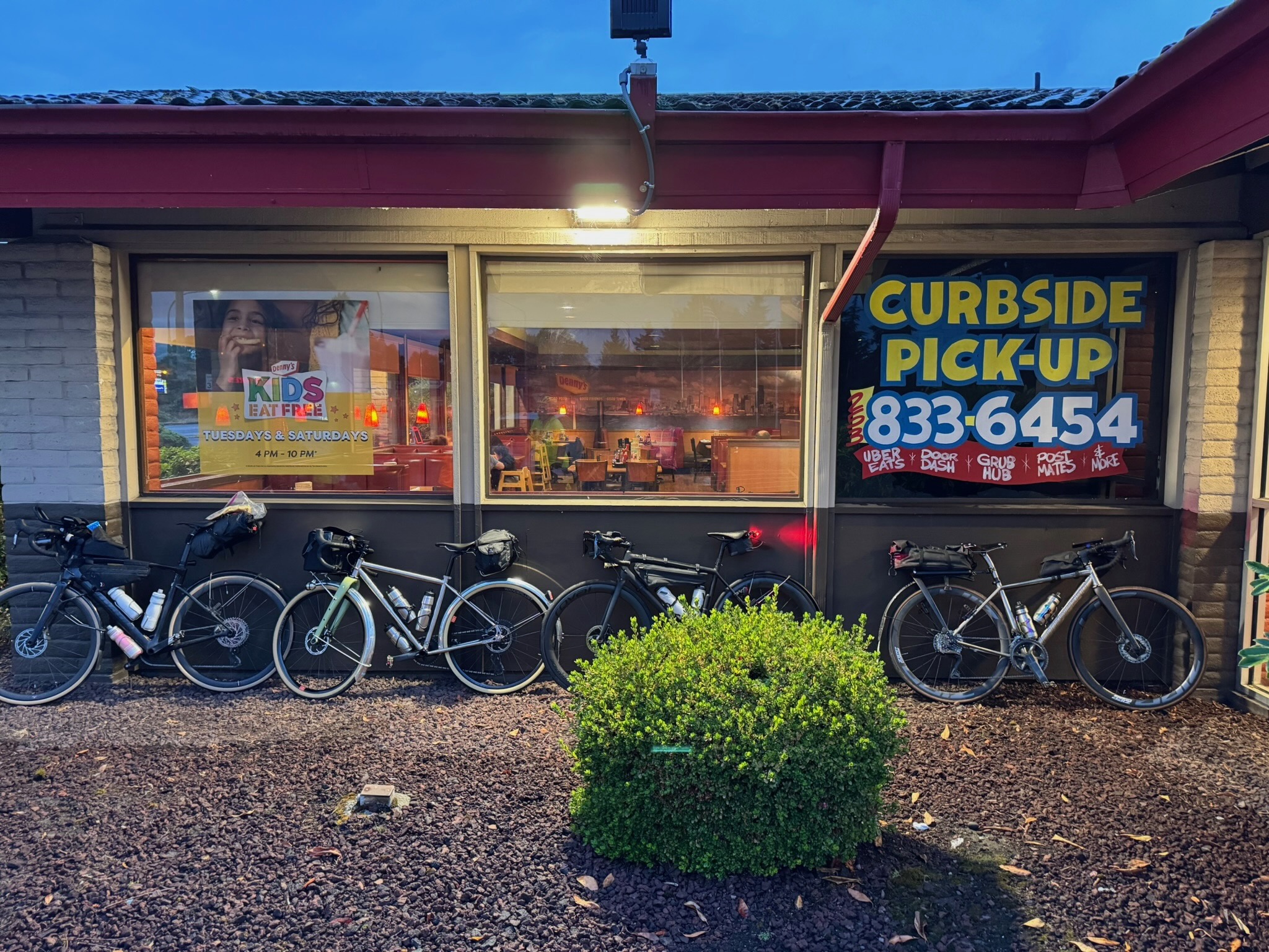
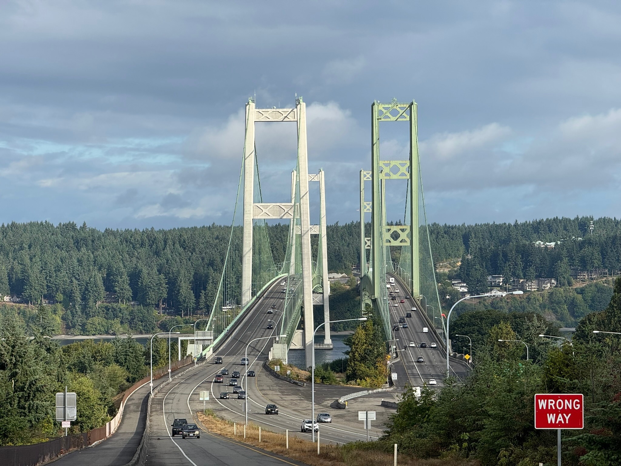
The ride starts at Denny’s in Auburn, where you can fuel up before heading out. Warm up on the Interurban Trail down to Pacific, then follow the Puyallup River to the outskirts of Tacoma. There are some twists and turns between km 19 and 21, as you cross the river twice, and another odd loop between km 32 and 34 as you make your way to the Lincoln Bridge, the best biking alternative to the Fishing Wars Memorial bridge that is now closed. Enjoy one more river crossing into Tacoma and and take in the quiet Saturday morning urban waterfront scene. Finish your first 50 km by crossing the grand Tacoma Narrows Bridge into Gig Harbor. You’ll pass a park restroom with water at 53.3 km.

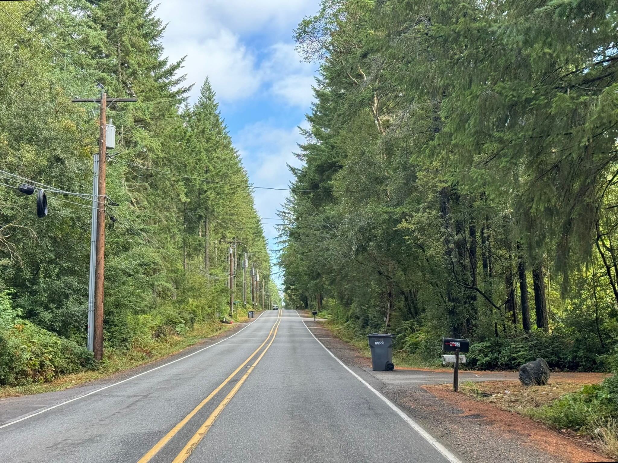
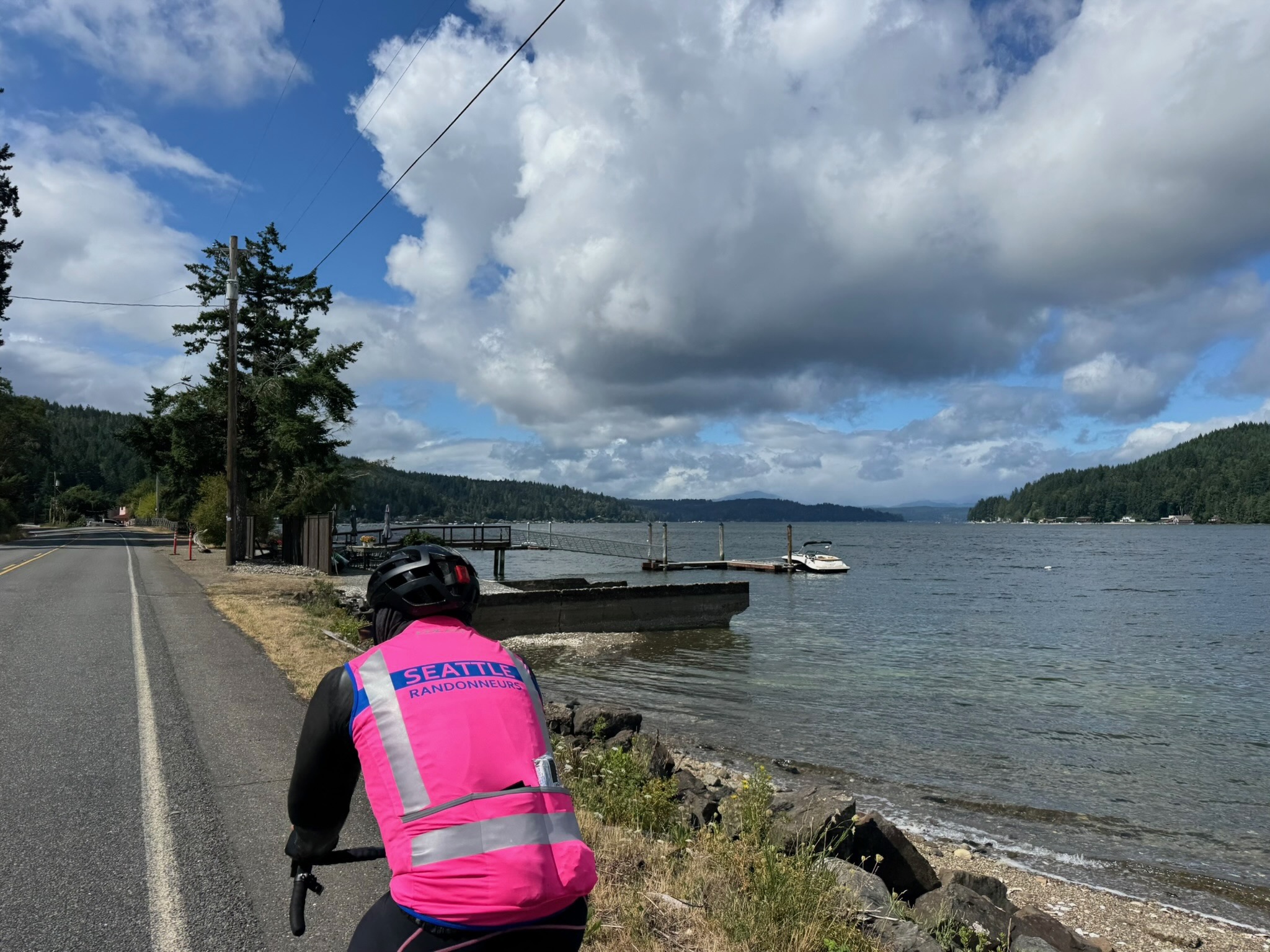
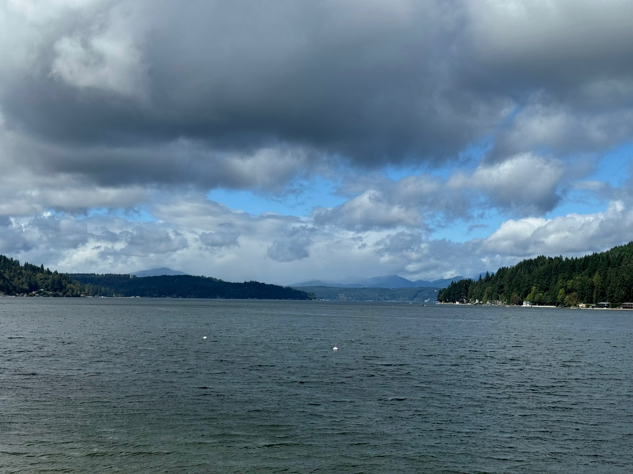
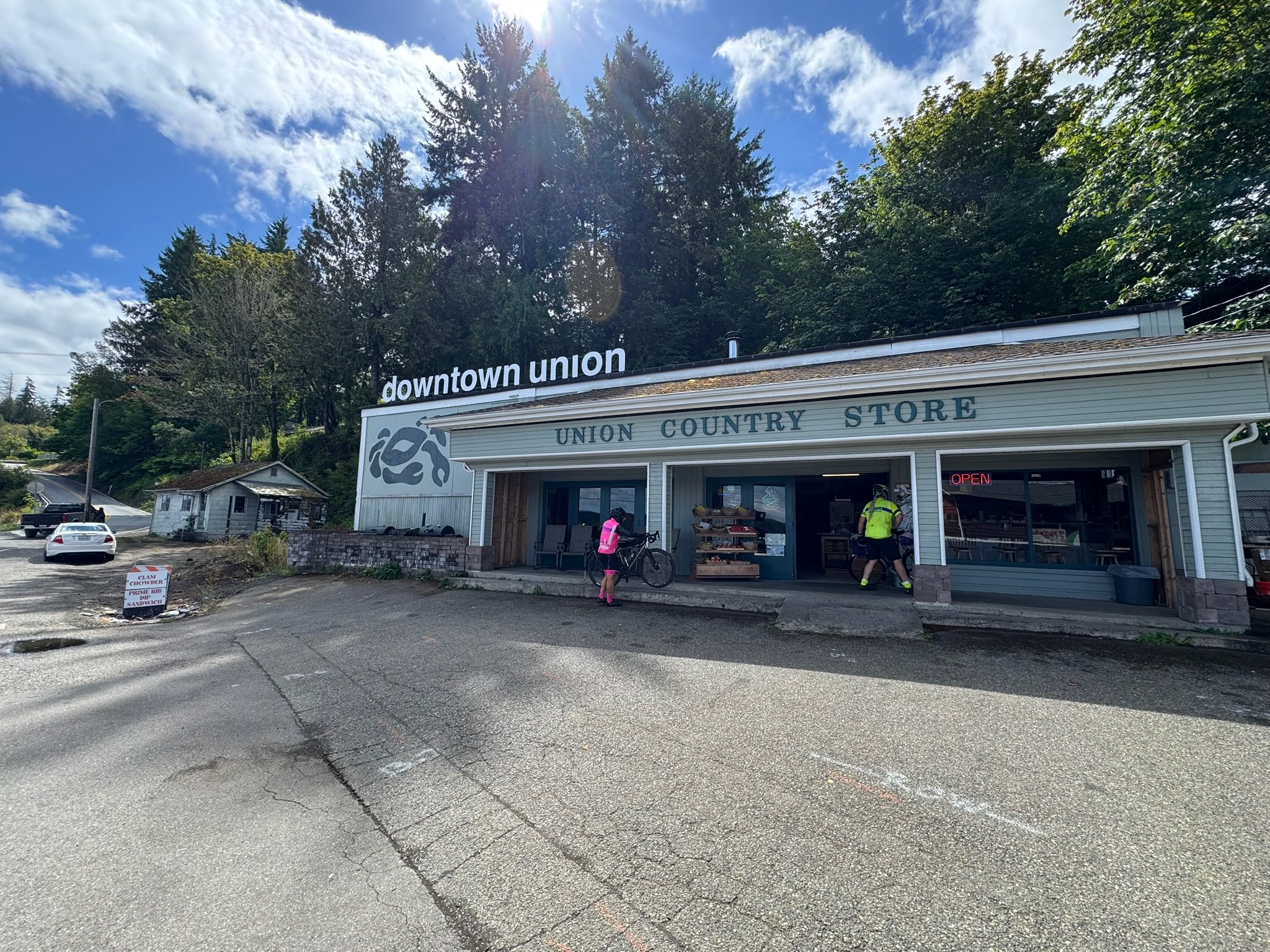
Quiet roads take you over to WA-3, which leads to Belfair and south along the Hood Canal. You’ll find a few options for food, water, and restrooms along this stretch, starting with the control at Belfair, Sandi’s Deli Mart (91 km), and ending with the Union Country Store (117.5 km), a pre-riders’ favorite for its tasty offerings. Follow WA-106 until you reach Purdy Cutoff Rd at 123 km. The road is forested and pretty, but traffic is fast; ride single file here. At km 127.4, take your time as you make a left onto US-101: more fast traffic here, and lots of it. Relief comes 5 km down the road, as you turn west. If you need a break or water, there is the small Dayton Store at 141.6 km. Another 15 km away is the Matlock General Store, with kind staff and a clean restroom; it’s also the control marking your turn south.

Brady Food Mart is at the turn west into Montesano at 186 km; it has a portable toilet. A little less than 10 km into town are a Chevron station (24 hrs) and the Fishin Hole restaurant (closes at 8:30 p.m.).

Heading into Cosmopolis you’ll begin to smell the ocean air. At 211 km, you’ll find another Chevron (closes at 8 p.m. on Saturdays). Soon you’re riding along the water and then heading into Westport, at 241.5 km, where there’s a Shell with Subway inside (open till 11 p.m.), though pre-riders found the restroom sub-par. Another 20 km gets you to the Tokeland 76 (open till 10 p.m.) with well-stocked convenience store and clean restrooms. Continue to bask in the ocean air, and if not the sights (as it may be dark), the sounds of the waves, as you make your way toward Raymond and the turn inland. The Quick Stop 101, open 24 hrs, with a portable toilet, is likely your last option for supplies for the day. In Pe Ell, at 340 km, there’s a Texaco, open until 11 p.m. Just before that, at 339.4 km, about a block off-route is a Willapa Hills trailhead with restrooms and water (there’s a cue for it). From there it’s another 43 quiet kilometers to the overnight control in Centralia.

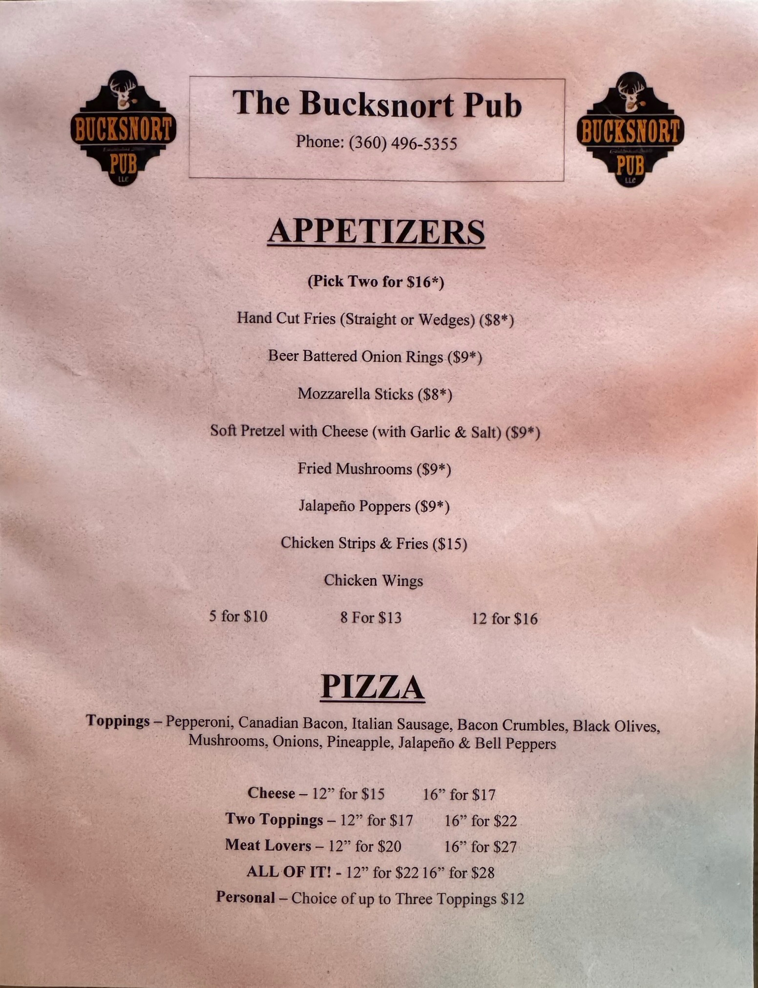
The second day (or the segment after the overnight control, if you’re riding through) takes you into the mountains via Centralia-Alpha Rd with a series of climbs through the countryside. Morton, your first opportunity for services, is 64 km away, but has several good options; pre-riders feasted on a breakfast sub and Jo-Jo potatoes at the 24-hr Chevron, and pizza at the Bucksnort Pub. From Morton to Elbe there’s more climbing, then an awesome descent (one of many on this day/segment). Also perhaps the most stressful riding of this brevet, on WA-7, with a narrow shoulder, fast traffic, lots of wide vehicles towing campers and boats. You may need a break at the Elbe Supply and Safety Stop even though it’s just 27 km from Morton. At Elbe the shoulder improves and you can enjoy stunning views and descents as you skirt Alder Lake.

Eatonville at 495 km offers more supply options before you turn onto Orville Rd at 497 km. This section is lovely, passing through forest with glimpses of Ohop Lake. It also has a narrow to nonexistent shoulder and can be busy with surprisingly impatient drivers on a Sunday. Same for Orville Rd E, which you turn onto at Kapowsin, at km 511.7 (where there’s also a convenience store with a portable toilet). At 526.6 km you turn onto WA-162, another highway with fast traffic and a narrow shoulder, but you turn off onto the Foothills trail in just a couple of kilometers; you can see the trail to your left for about .75 km before you make the turn. The trail ride is cut short by a bridge closure; you’ll get back on the highway at 537.2, where there is also a convenience store. There is a little better shoulder here for your climb to a plateau. In Buckley, at km 544.8 look for the trail again to your right, just before the intersection with WA-410. You’ll ride the beautiful Foothills Trail bridge over the White River, then take a left on Mud Mountain Rd and cross WA-410. There should be no traffic, because this stretch of highway is closed due to a—you guessed it—bridge closure. In Enumclaw, you’ll pass a 7-11 (24 hrs) at 551.5 km—perhaps your last services, unless you reach Black Diamond before 8 p.m. Then jostle through town on bumpy streets that lead right into farmlands.

The route passes through more rural scenery, then on to Franklin, a tiny town where you’ll ride over the Green River gorge, spectacular if you still have daylight. Climb out of the gorge and head into Black Diamond and your last opportunity for a bite, at the Black Diamond Bakery (open till 8 p.m.), about a block off-route at 575.8 km. From here on, it’s smooth riding, nice roads with good shoulders. There’s a control at 586.8 km, where you make a turn that’s hard to see in the dark. You’ll see a RR crossing sign; the turn is just before that sign. (Do not cross the tracks.) Heading into Auburn on SE Auburn-Black Diamond Rd, at km 598.9, you’ll encounter a notorious set of railroad tracks at a bad angle. Take care here; stopping is not out of the question, as you have to cross into the left lane if you want a perpendicular approach. After 4 km through town, you are finished.

Comments Off on 2025 Summer 600K Pre-Ride Report

Filed under Uncategorized

2025 Spring 600K Pre-Ride Report

Text by Phil Neff

Event details and registration may be found here.

The Spring 600K offers a varied, rolling, but low-total elevation tour through the inland Puget Sound and into the foothills of the Cascades via the Middle Fork Snoqualmie. A backdoor into Bellingham provides a pleasant detour along Lake Samish, avoiding the closure of Chuckanut Drive. This route is optimized for EPP, please ensure that your ride is tracked or document your passage through controls with photos.

A sunny, quiet morning in the Snohomish valley. (Photo: Xiangzhou Kong)

The route starts with mostly quiet rural roads through Snohomish and Marysville. Take care with the merge onto Highway 204 out of Everett’s Ebey Slough, followed by an immediate left turn onto Sunnyside Blvd. Climb over Lake Ki towards Camano Island, with some potentially busy sections of road through Stanwood. Wind and weather conditions will dictate your pace north along Padilla Bay into quaint Edison, where Terramar Brewstillery offers pizza and house-brewed beer and soft drinks.

Hot pizza, soft drinks, and drying gilets at Terramar Brewstillery. (Photo: James McKee)

The closure of Chuckanut Drive necessitates a detour up Bow Hill and along Lake Samish. Preriders found these roads to be low traffic and pleasant; despite hugging I-5, you’ll feel like you’re riding through a tunnel of rocky cliffs and trees up Lake Samish Drive (the pre-ride route profile included some phantom steep grades here that were not reflected on the road). Descend past the Galbraith MTB complex and down the Stair Step Streets (watch for cross traffic and stops) into Fairhaven and Bellingham. Preriders stocked up on snacks and sun at the Haagen grocery here before turning back south for the climb back out of Bellingham.

The Lake Samish detour into Fairhaven. “5 out of 5 didn’t suck!” – Andy S. (Photo: Phil Neff)

Rolling country roads lead south through Sedro-Wooley; the route winds through the Burlington suburbs and over the Conway hill on SR534 before briefly joining Highway 9 at Lake McMurray; from here, it’s the standard Centennial Trail, Broadway, Woodinville, Sammamish River Trail sequence back home to Redmond.

Day two starts with the punchy Union Hill climb, maxing out at 10% grade, before a descent into Carnation to the Snoqualmie Valley Trail. From here, it’s gradual railroad-grade climb on light gravel to Tokul Road, and then through the towns of Snoqualmie and North Bend. Stock up on food and water here before the approximately 25K long (one-way), 300m climb up the Middle Fork Snoqualmie trailhead. Gorgeous river and mountain views abound on this stretch.

Astounding scenery on the Middle Fork Snoqualmie. (Photo: Xiangzhou Kong)

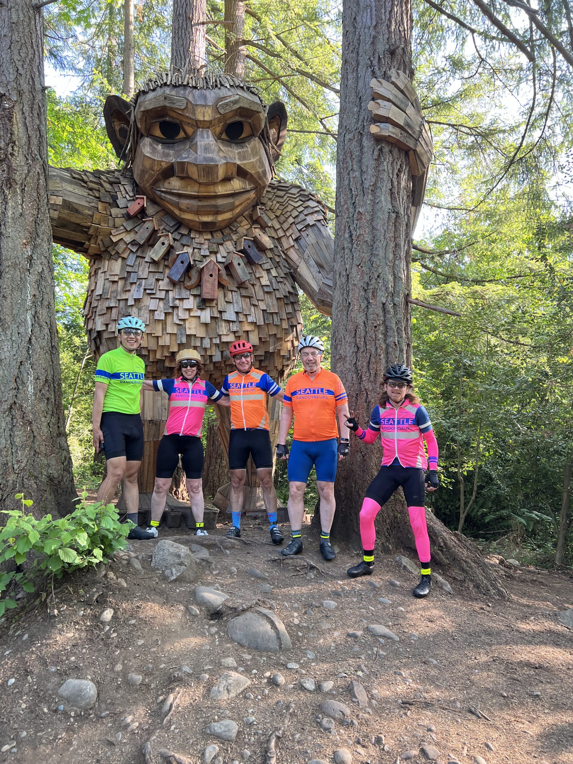
More punchy climbs punctuate the route back via the Issaquah Highlands, followed by the busy Issaquah-Hobart Road to Cedar Grove Road and the traffic-free relief of the Cedar River Trail. Wind through Renton and follow the familiar Lake Washington route through Factoria back into Issaquah, doubling back to pass the troll on the Rainier Trail.

The route finishes with a roll up the Sammamish River Trail to the Redmond Inn. Chapeau!

A celebratory group photo with the Issaquah troll before the final few Ks. (Photo: James McKee)

Comments Off on 2025 Spring 600K Pre-Ride Report

Filed under Uncategorized

2024 Fall Waterville Gravel Populaire Pre-Ride Report

Photos and text by Shan Perera

SIR’s third gravel event this year brings another course designed by Don “shiggy” Person – who has arguably mapped more Douglas County backroads than anyone for over a decade. Those who rode his first one in June will find an all-new route that is a bit shorter (100km vs 134km), with slightly less climbing (4300’ vs 5100’), but still chock full of adventure. From Waterville, we’ll work our way to Douglas, then south towards Alstown, traverse the southern plateau, turn north to Supplee, tackle some big rollers heading west in the direction of the Columbia, and finally turn east back to the start. Hwy 2 and the river far down below can be spotted during the last bit.

This 100km (62mi) route is 83% unpaved. You’ll discover hard-packed farm roads, mid to smooth (“champagne”) gravel, loose sand, chunky rocks to “moondust” (deep talcum powder-like fine dirt). The remaining 17% strategically-scattered, paved patches will render your legs a refreshing boost. There’s something for everyone here – an excellent, intermediate ride if you’re “gravel curious”. Nothing extreme or over the top challenging. I rode 40mm tires. shiggy was on 55mm. Recommend minimum 38mm. Slicks are fine.

That said, you’ll be far away (no services/resupply points) with open skies in all directions, enveloped by expansive acres of wheat. You’ll see first-hand how our Eastern Washington landscape was shaped by glaciers, volcanos, floods and wind. Come prepared – carry extra tubes, check/top off sealant (if riding tubeless), bring extra food and no less than 2 water bottles. shiggy and I both had 3 bidons but ran out. However, with staffed controls at 21km (13mi) and 64km (40mi), you won’t have to worry about that happening to you. Expect to see no people and very little traffic all day. We were passed by only 2 cars the entire time. While, we rode past dozens of combines and other large vehicles, we saw just one in operation. Please remember, farm equipment ALWAYS have the right of way. No rain in current weather forecast. It may be hot, and there is ZERO shade on the route.

The most challenging downhill section with larger loose rocks comes early at 12km (7.5mi) on Rd 2 NW. Exercise high caution here. The steepest climb – also to highest point at 3100’ – comes at 89km (55mi). Your legs may grumble a bit, but it’s pretty much downhill from there. We let it rip on the final 5km (3mi) home stretch yelling “wheeeeeeeee”!

  • Ride Start: Pioneer Park in Waterville (North of W Walnut Street between E Park Street and S Chelan Ave, Waterville, WA 98858). Check-in begins at 8:00am. Briefing at 8:50am. Roll out 9:00am sharp.
  • Parking: Near the tennis courts in the park or at the high school on S Chelan Ave.
  • RV camping and coin operated showers (takes quarters) at Fairgrounds RV park – 1/4 mile away
  • Grocery store: Waterville Family Foods at (102 E Locust St; opens at 7:30am)
  • Finish and Post-ride: Knemeyers Eatery & Spirits (115 W Locust St; directly across from Pioneer Park) is friendly and has pizza, burgers, beer
  • Waterville Plateau history: https://www.historylink.org/file/9357
While most roads are in a grid pattern (Rd 1, Rd 2, Rd D, Rd E…etc) several intersections WON’T have any signs. Pay close attention to GPS and/or cue-sheet (highly recommend you print & bring with you). The marked turns are very accurate and we never got lost.
On the Waterville Plateau, wheat fields thrive from glaciers that melted a millennia ago. Erupting volcanoes, particularly the ash from Mount Mazama 7700 years ago, is a major contributor to the rich soils in the region. Mount St. Helen’s eruption in 1980 added to that.
Large paw prints in deep sand that looked too big for a Coyote or Bobcat. Cougar??? We were later greeted by a Northern Harrier (with its distinctive white rump patch) gliding low over the wheat. And a Red Tail Hawk followed us overhead for a bit perhaps hoping the “crunch…crunch” of our wheels would scare a rodent snack out of hiding.
Douglas Cemetery
Shan and shiggy

Comments Off on 2024 Fall Waterville Gravel Populaire Pre-Ride Report

Filed under Uncategorized