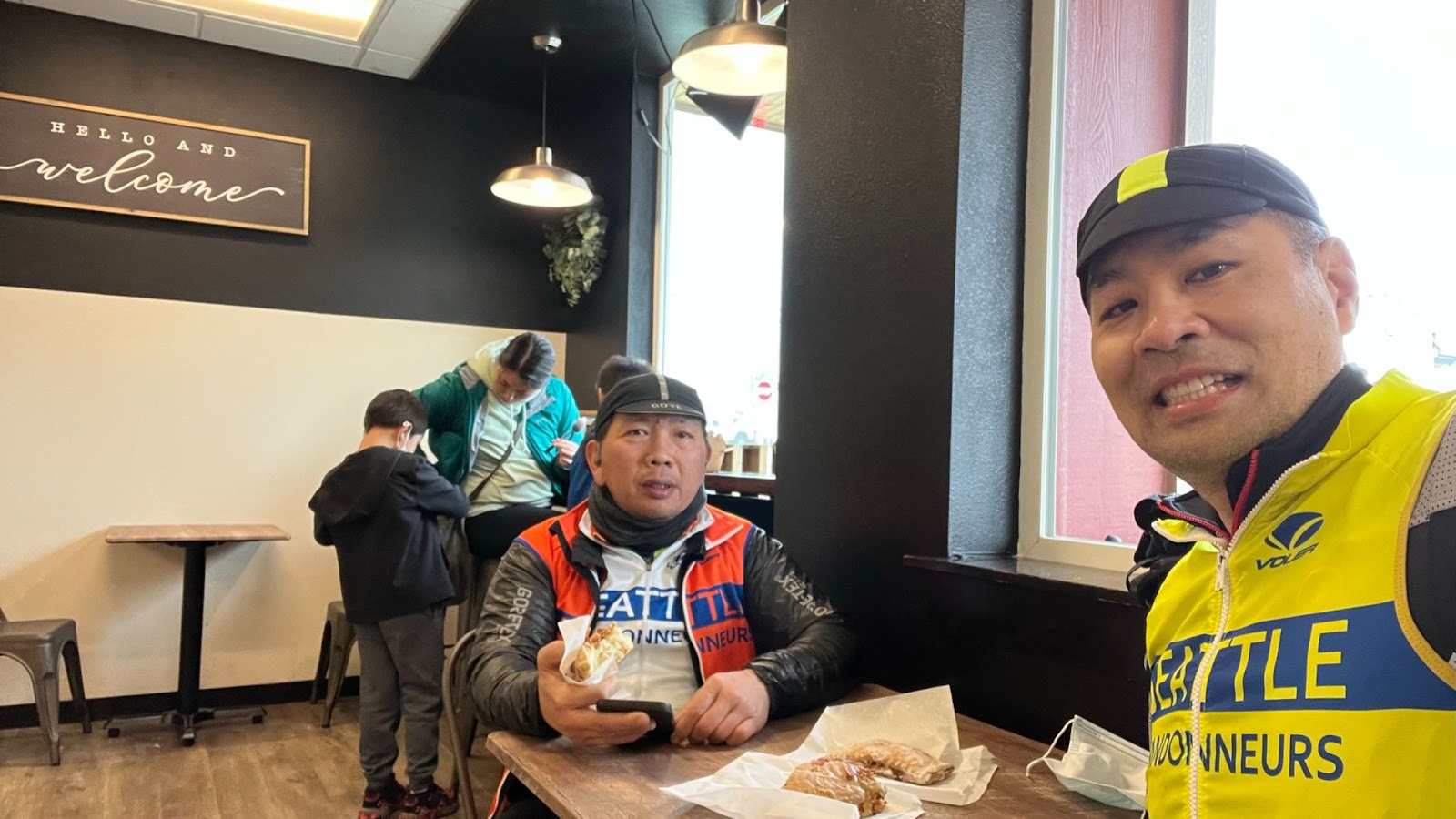
Pre-riders: Mitch Ishihara, John Nguyen
RUSA Brevet #2134 Redmond, Lakes, Falls, and Trails – features Peet’s Coffee, Granite Falls (multiple bakery, food, and coffee options), Postdoc Brewing Company
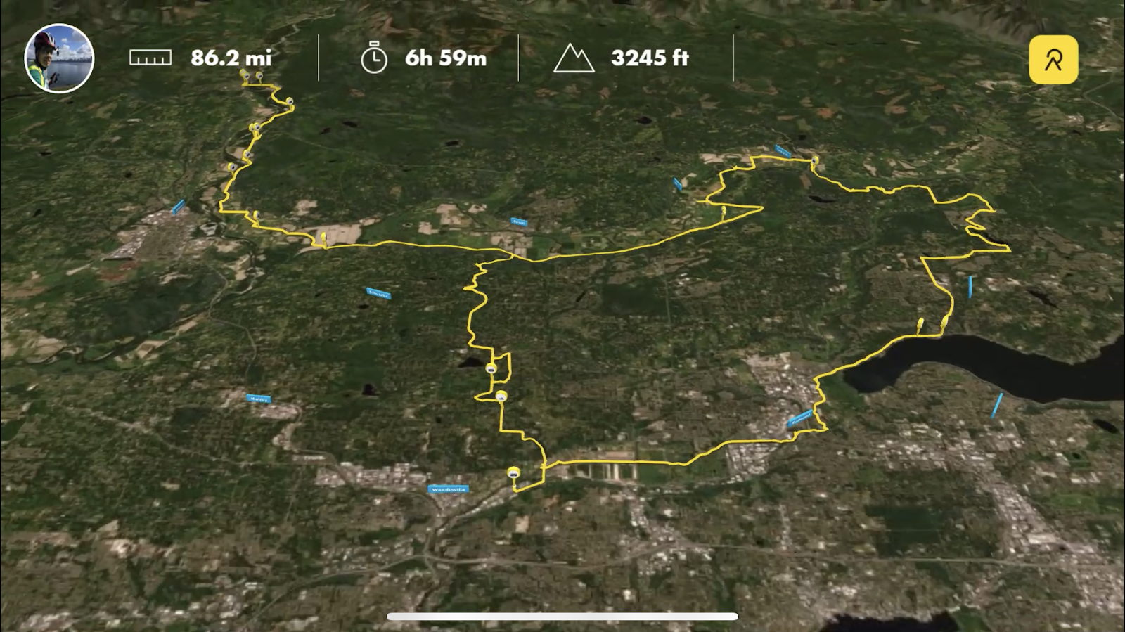
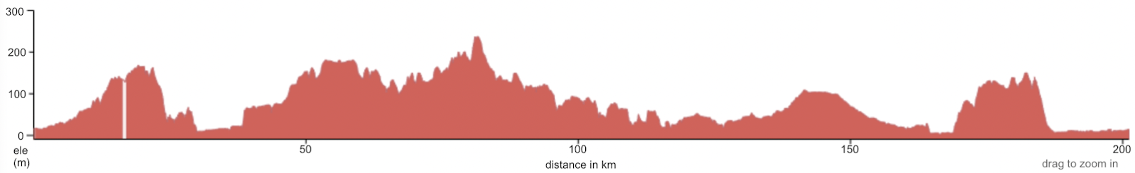
The route features low elevation (below 240 meters/790 feet) on rural roads.
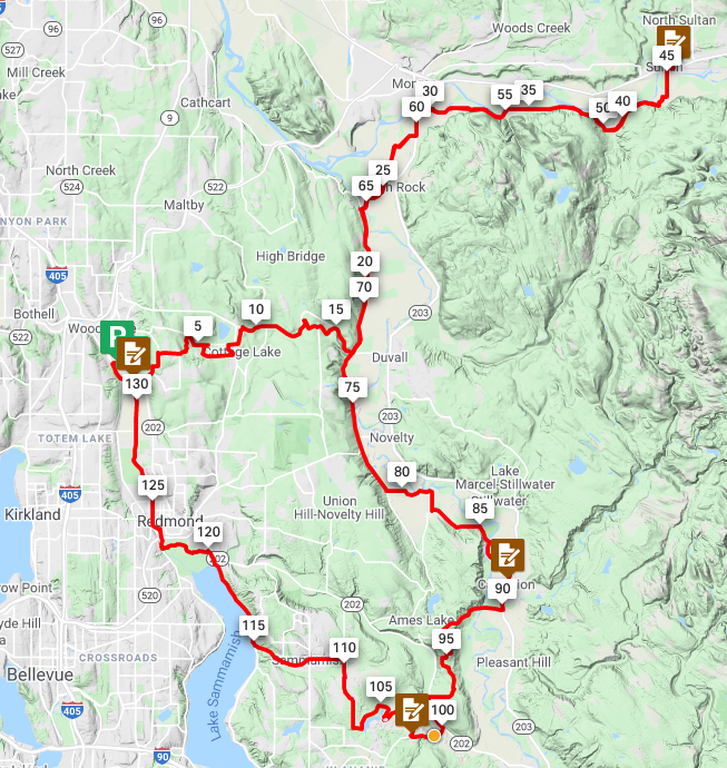
From the start in Redmond, make a gradual climb up to Echo Lake passing through a short gravel/dirt trail. Descend down to Tualco Valley and Monroe. Climb up rolling hills to Lake Chaplain. Follow it up with a rolling climb up to Lake Roesiger. Continue with a rolling descent down to Granite Falls with multiple food options (roughly the half-way point). Make a net descent across additional rolling hills out to Arlington. Take a short out and back to Bryant followed by the gradual railroad trail grades on the Centennial Trail to Snohomish. Make one more lumpy climb before finishing on the Sammamish River Trail back to Postdoc Brewing Company in Redmond. All of this packed in against a few scenic peeks of mountains in the distance.
The Route
Ride with GPS: https://ridewithgps.com/routes/22218260
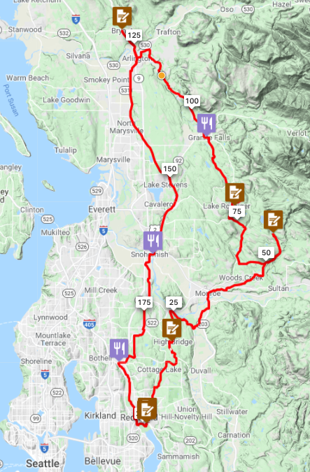
Plenty of lumpy rolling hills before gradual 1-2% railroad grades on the Centennial Trail and flat Sammamish River Trail.
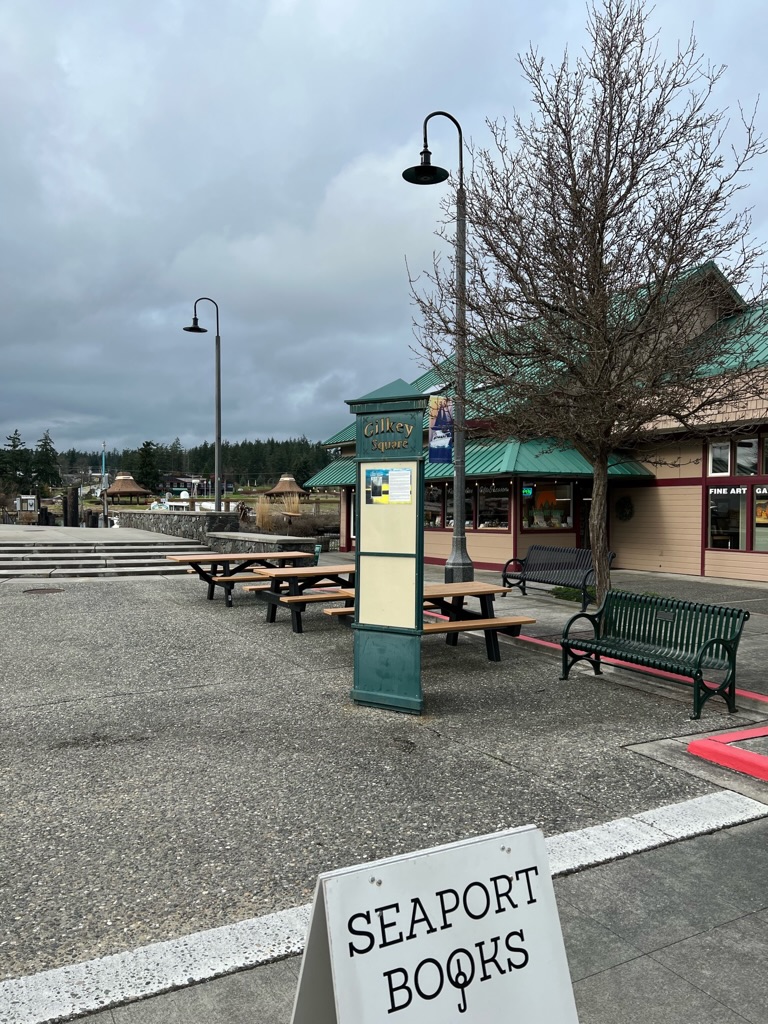
Parking
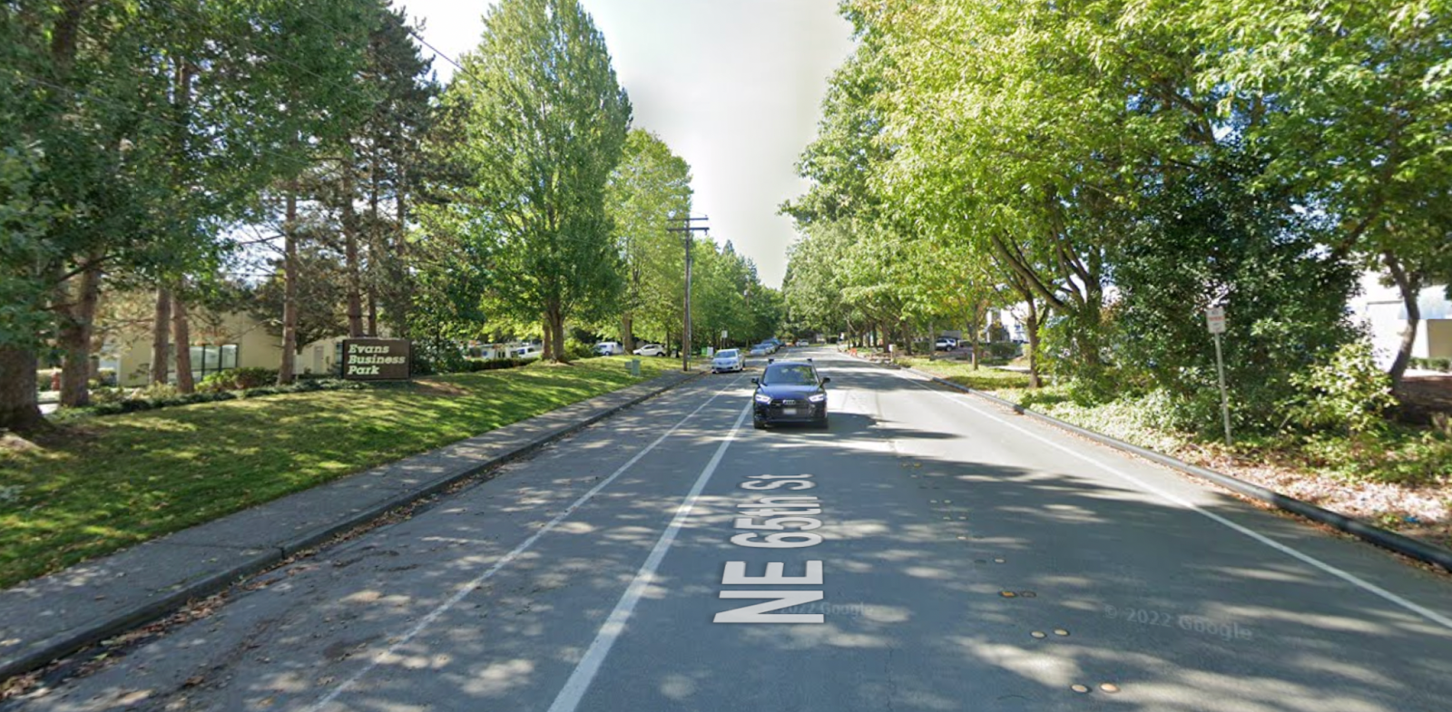
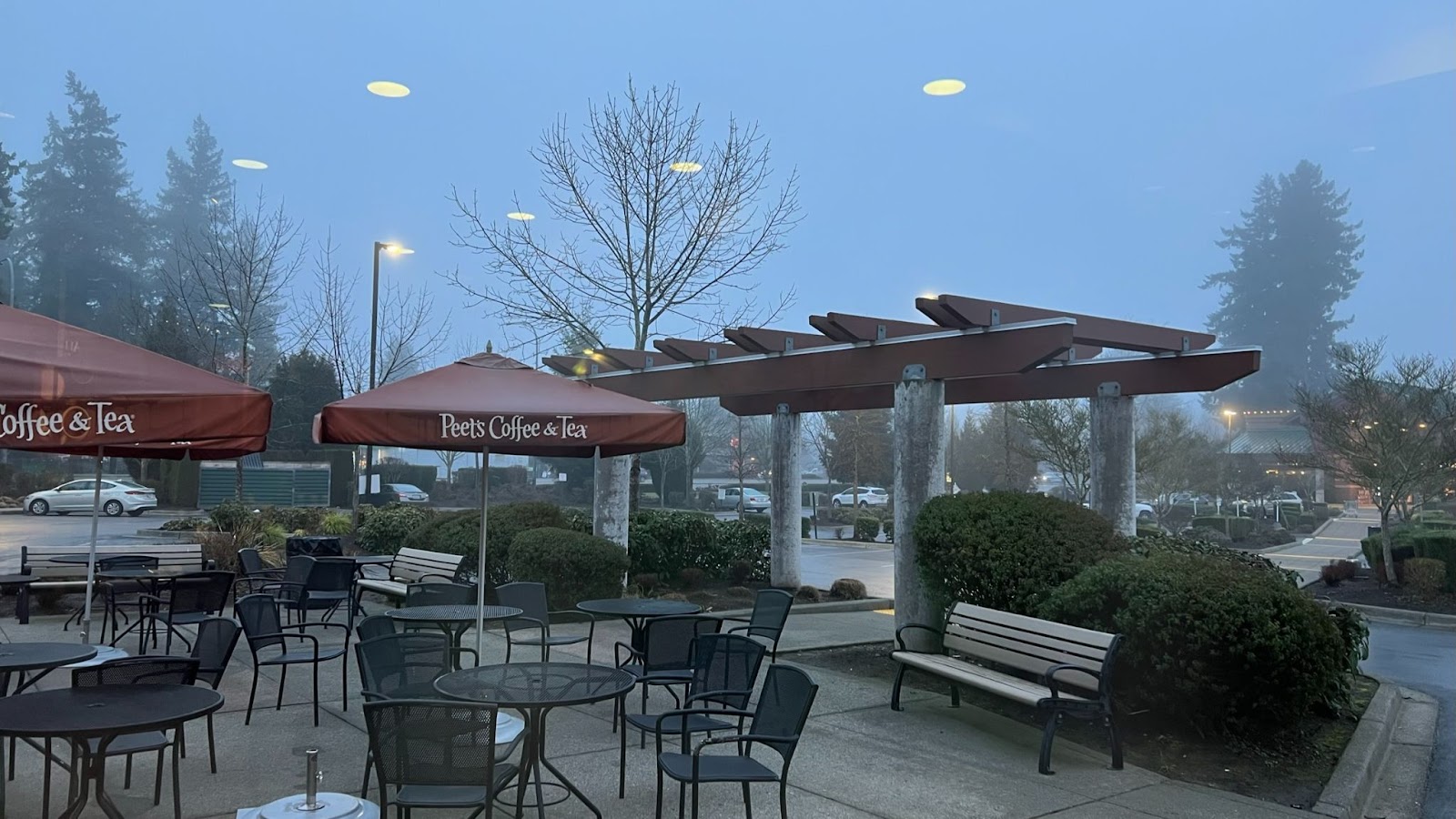
There’s parking near the finish at Postdoc Brewing Company on NE 65th Street in Redmond.
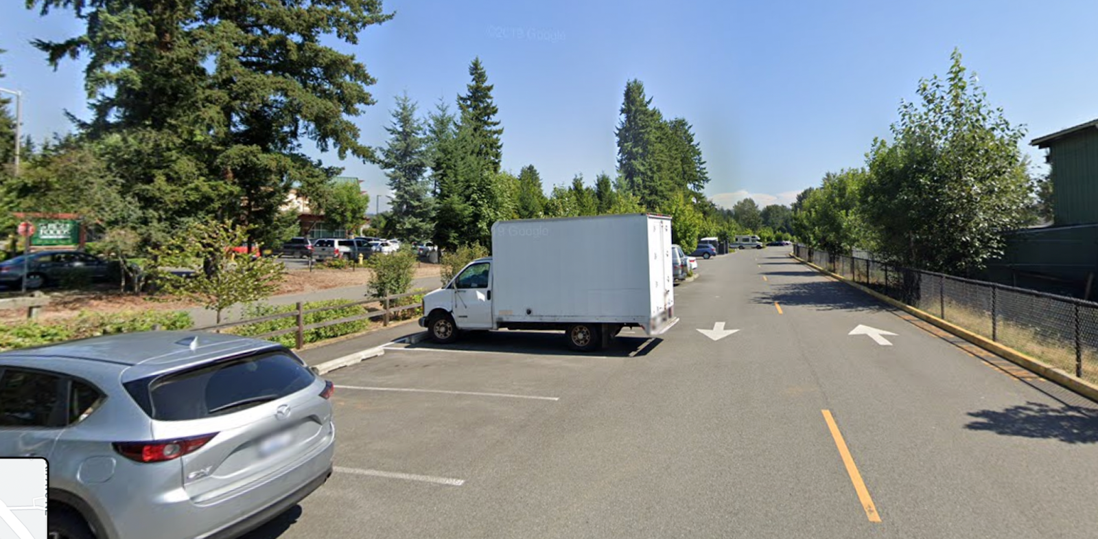
And parking near the start at Peet’s Coffee at Lake Sammamish Trail Parking off of NE 70th Street in Redmond.
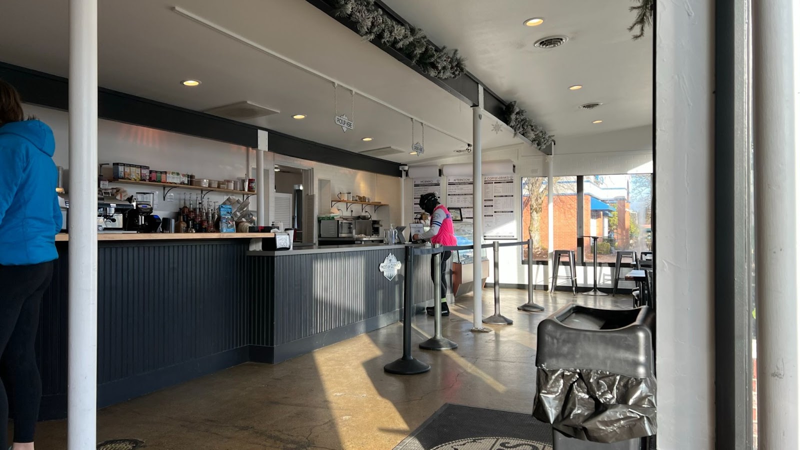
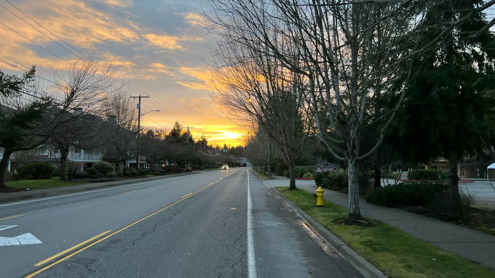
Start location @ Peet’s Coffee
We’ll gather in front of Peet’s Coffee.
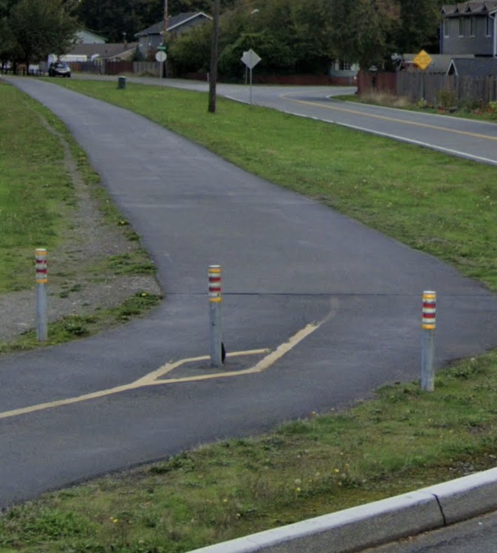
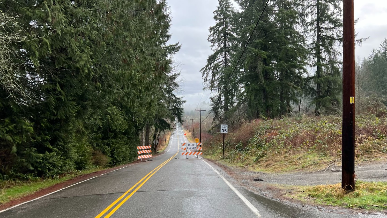
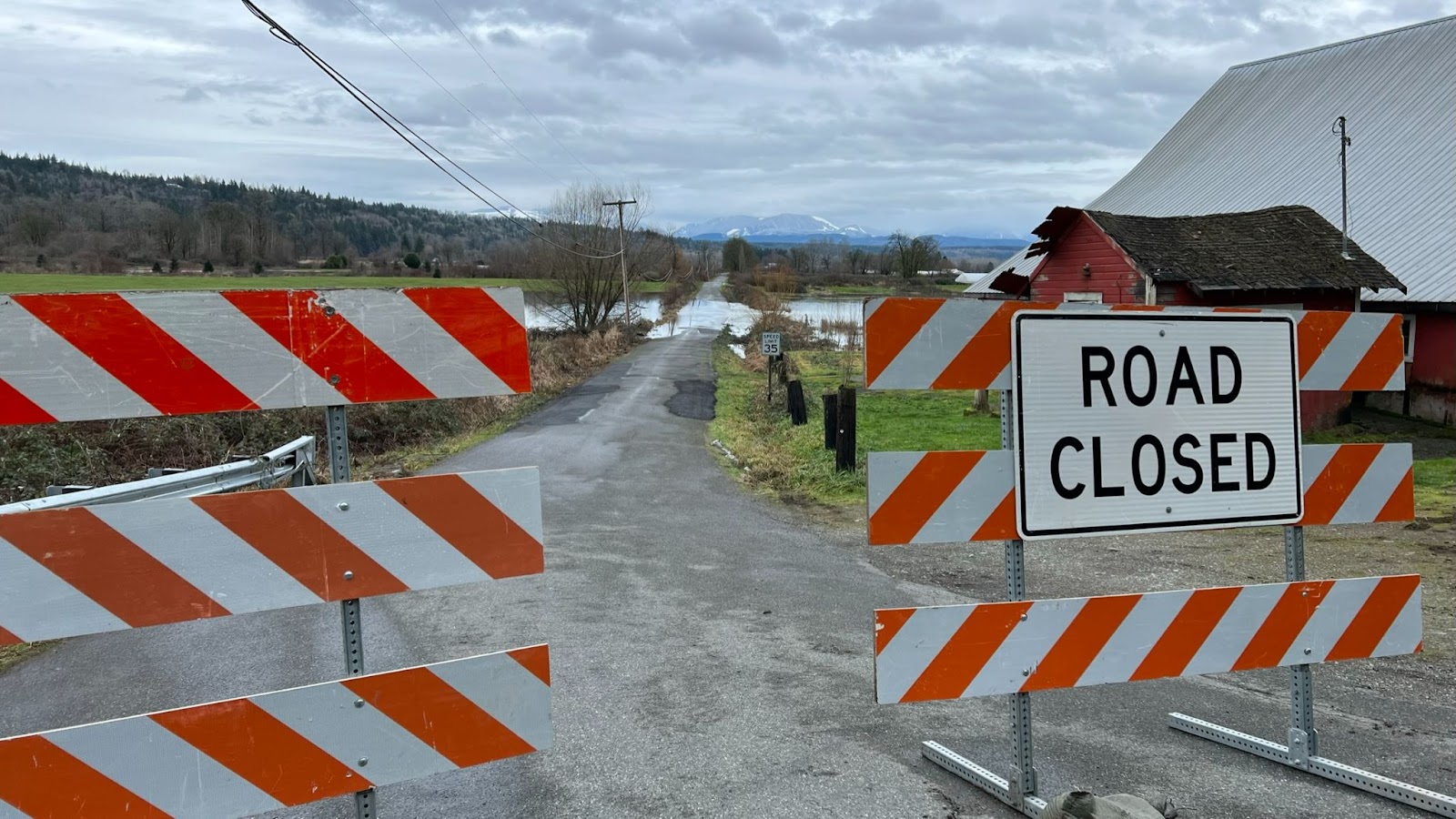
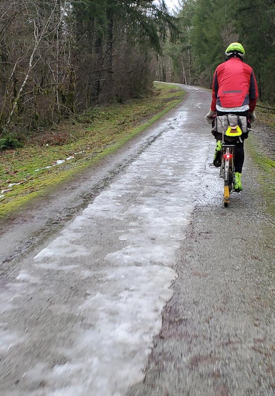
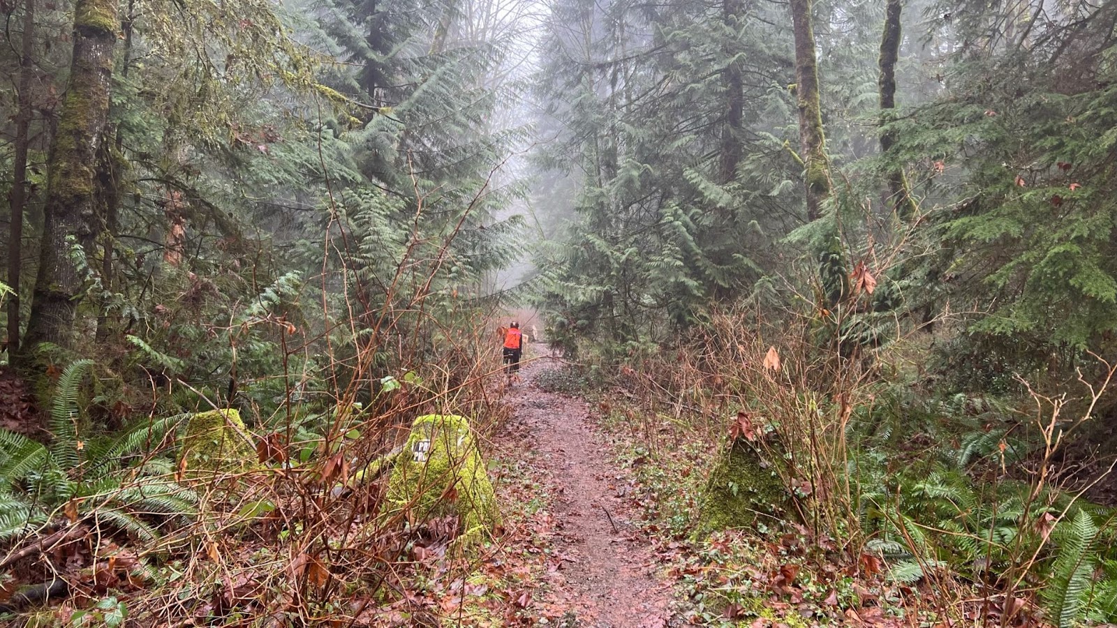
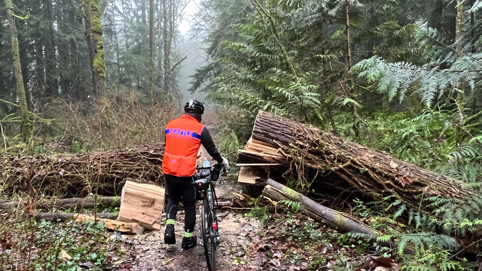
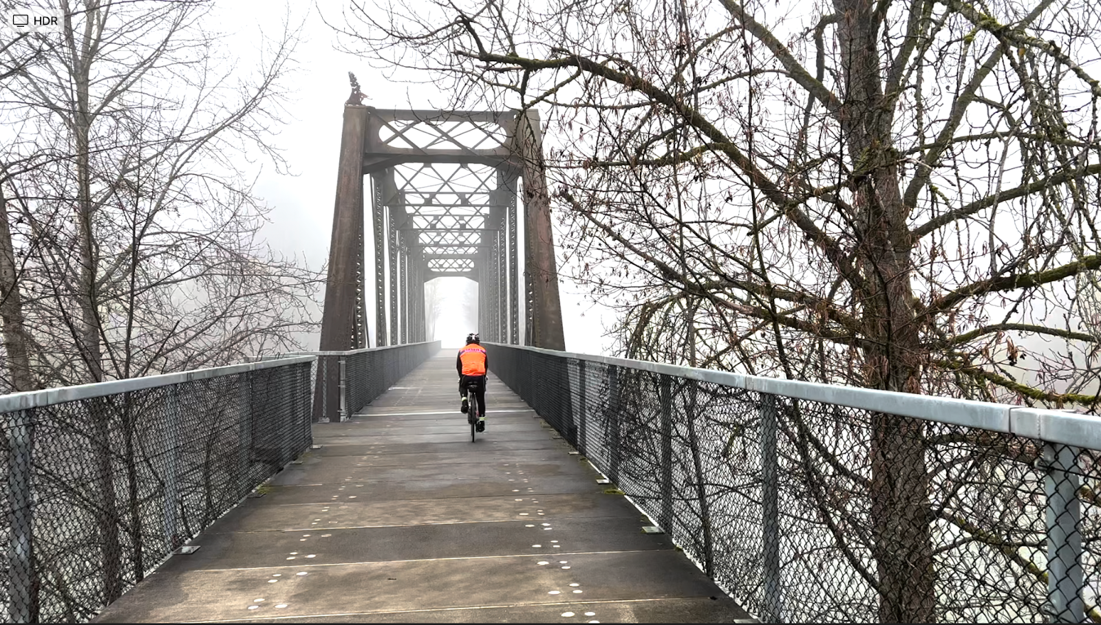
Compact Gravel/Dirt Trail to Echo Lake
Entrance to trail – do not go through the arch on the left.
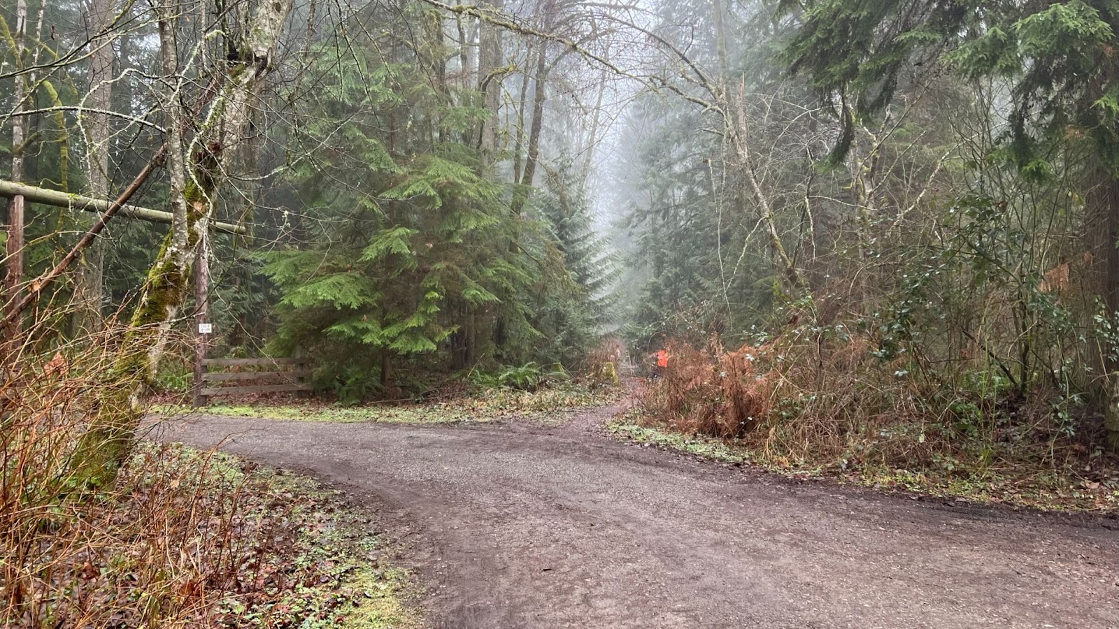
Fresh composting foliage covers the trail.
We removed the small fallen tree.
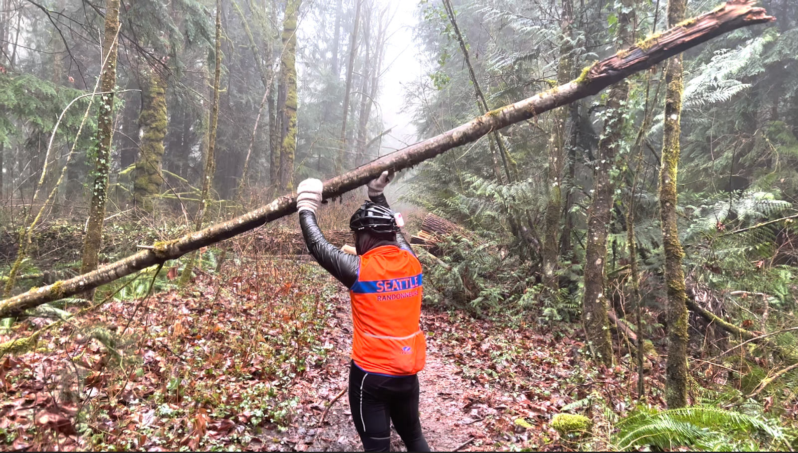
But that’s about all we would do…
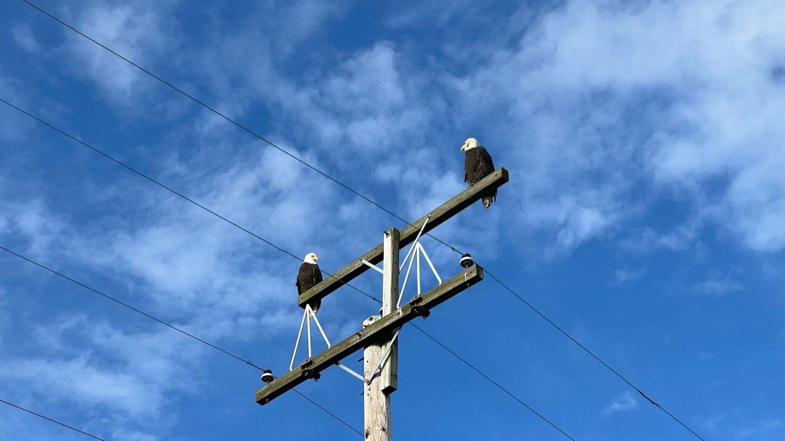
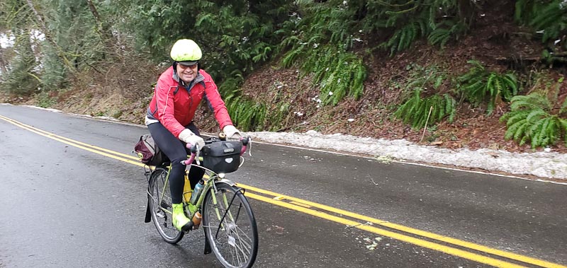
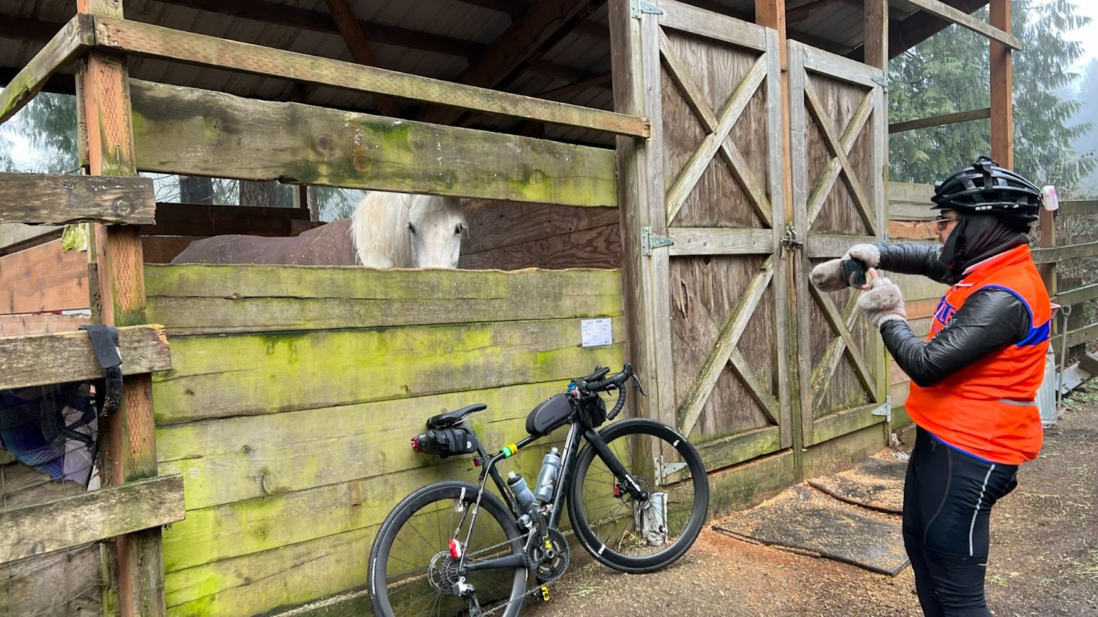
Hello Mr. Ed
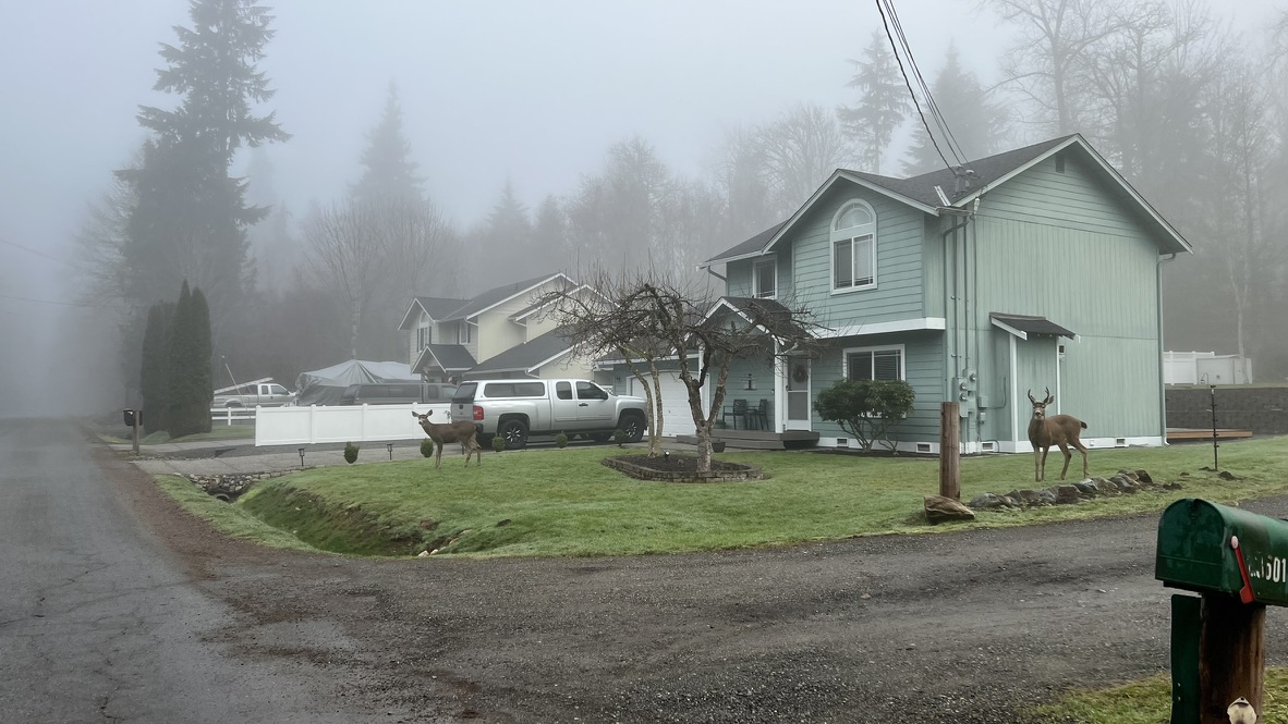
Oh deer!
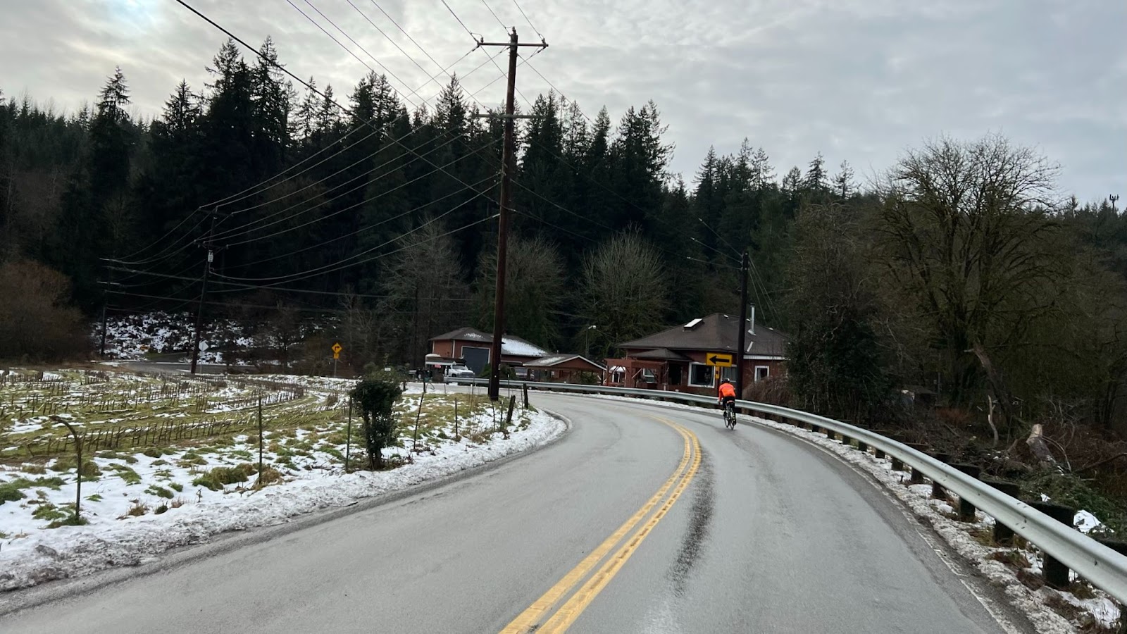
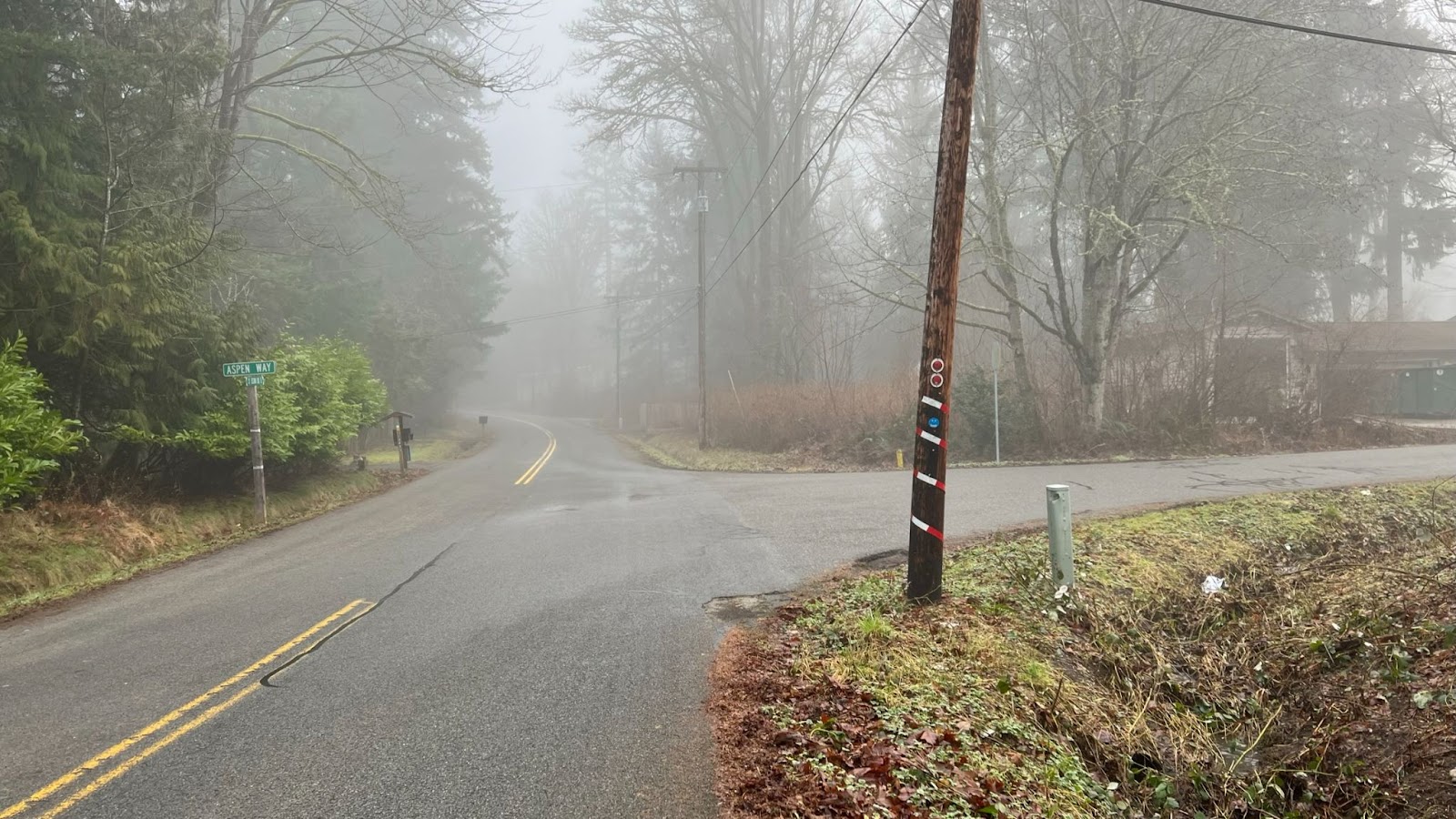
Info Control – Echo Lake and Aspen Way
11.4 miles / 18.3 km
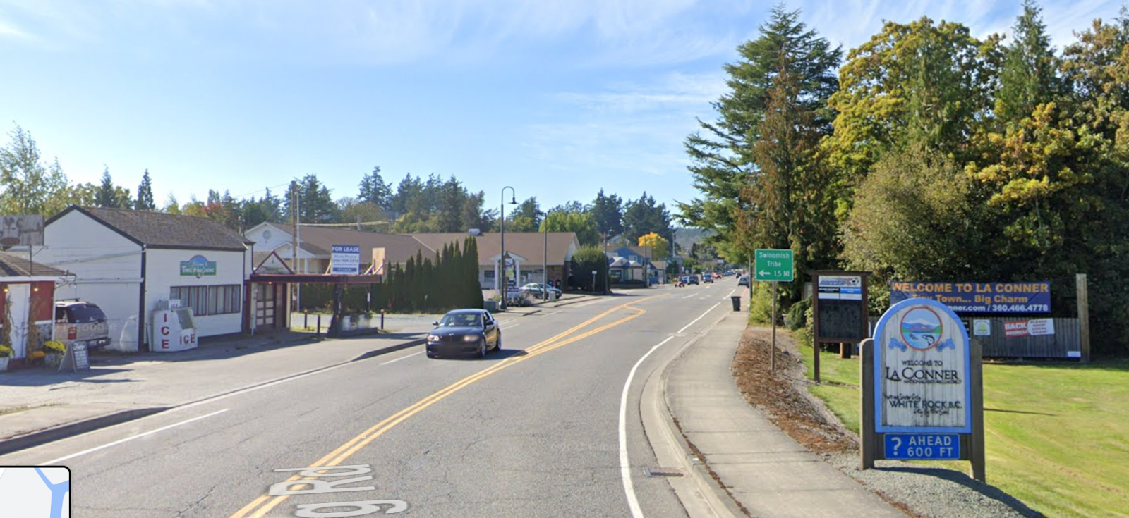
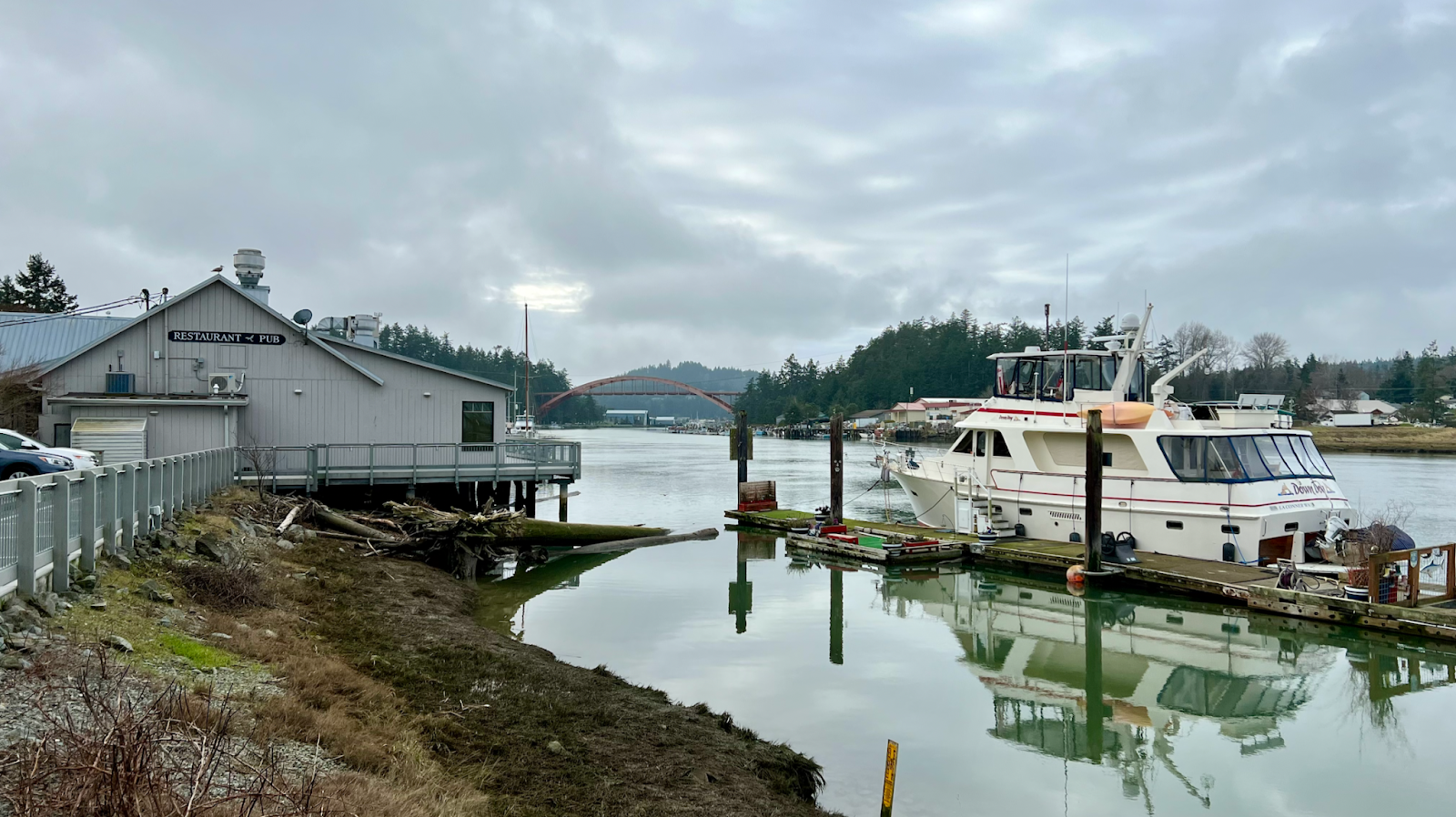
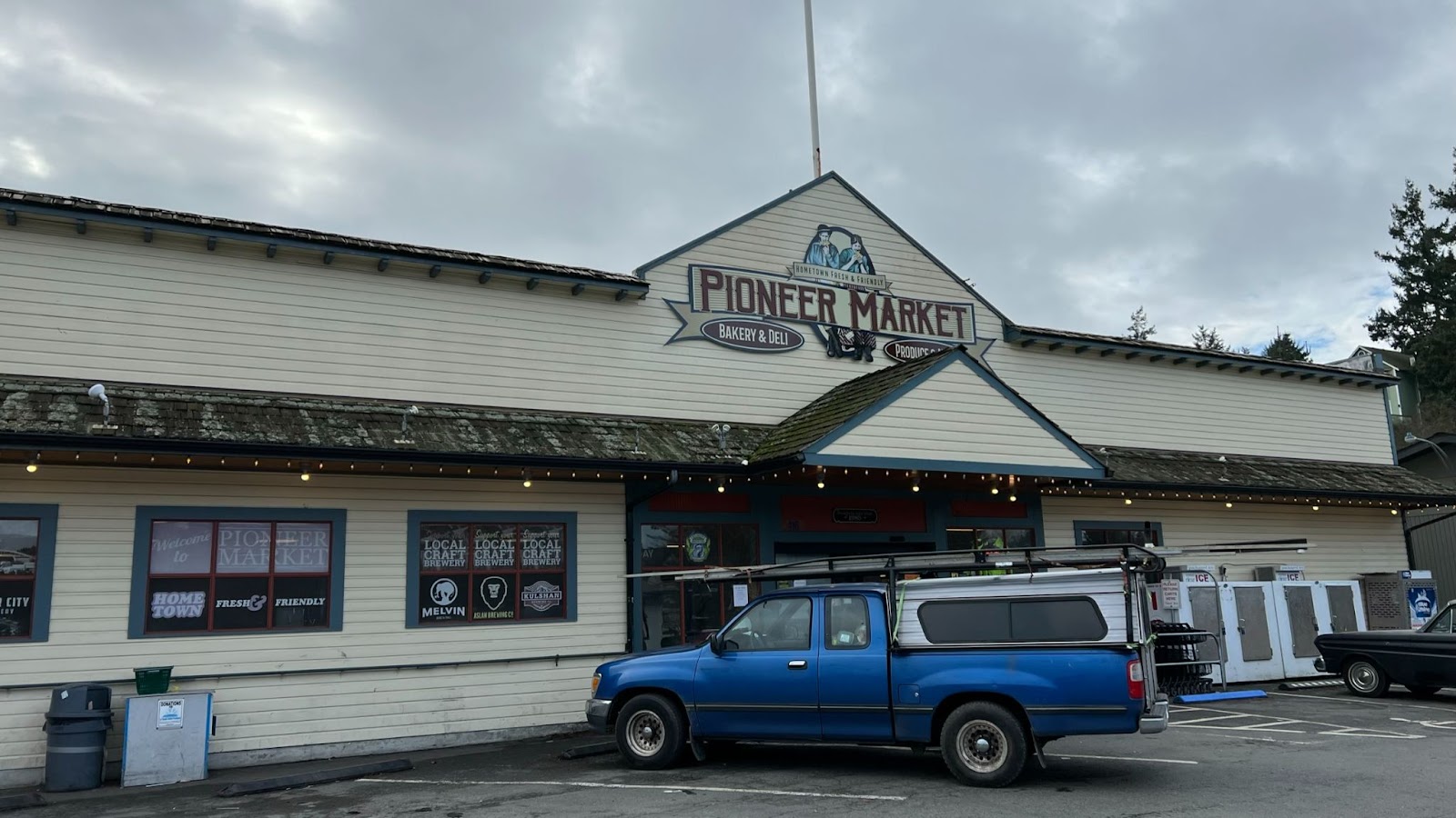
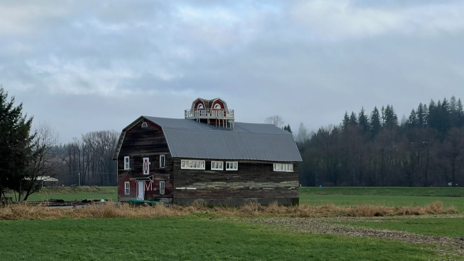
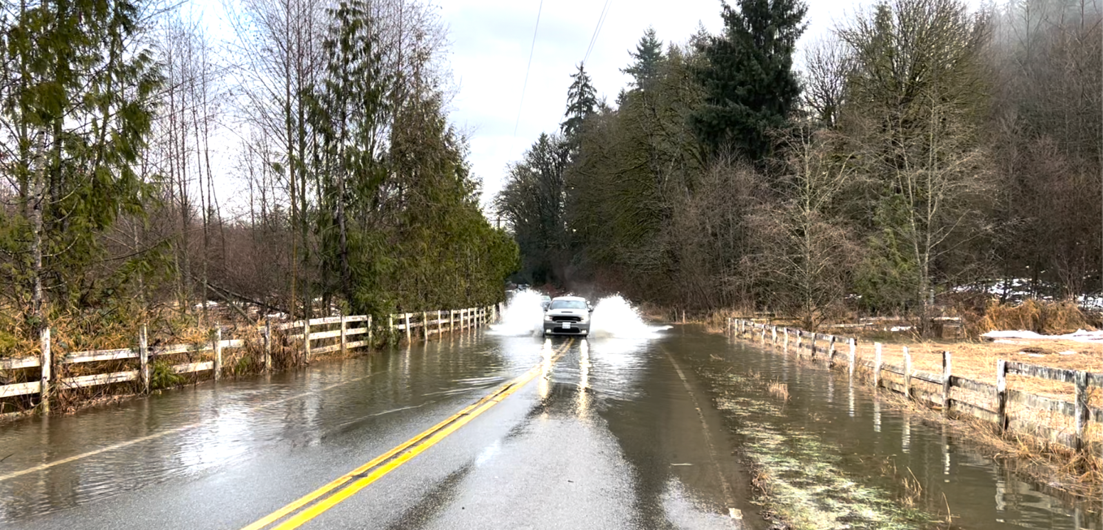
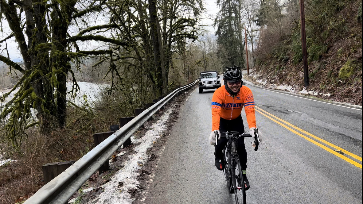
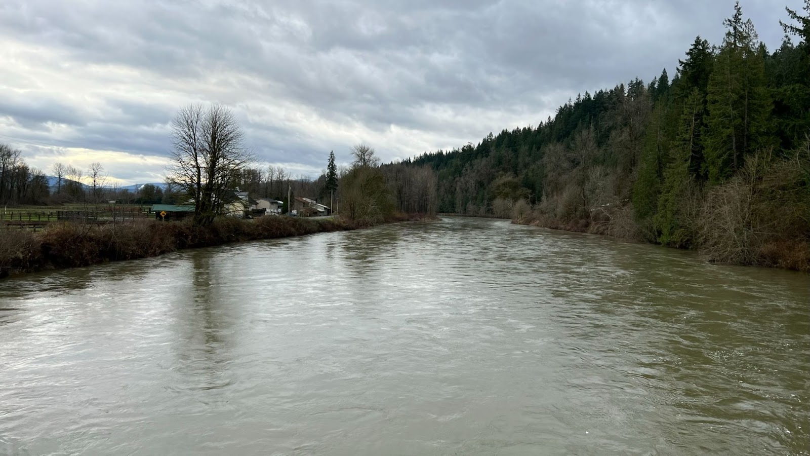
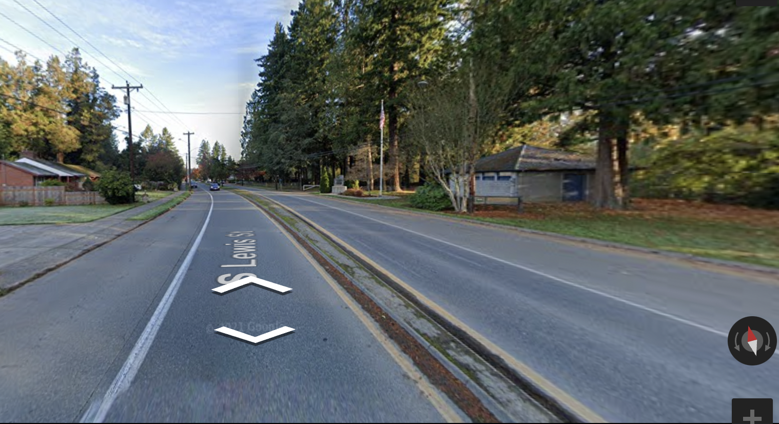
Monroe
23.2 miles / 36.5 km
Water and restroom at Lewis Street Park on right. 7-11 on Main Street.
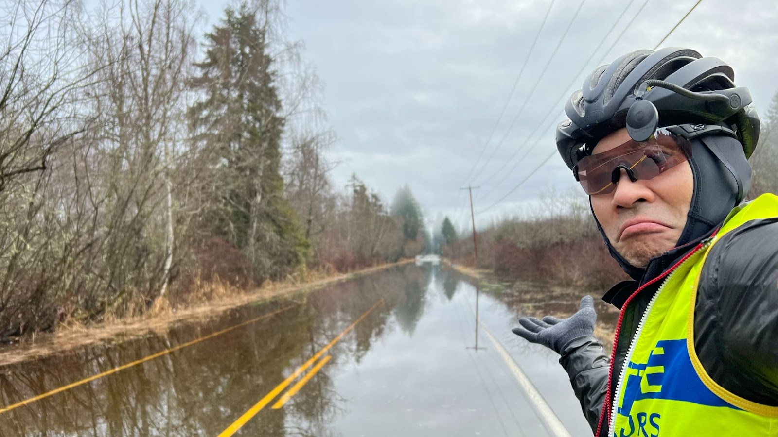
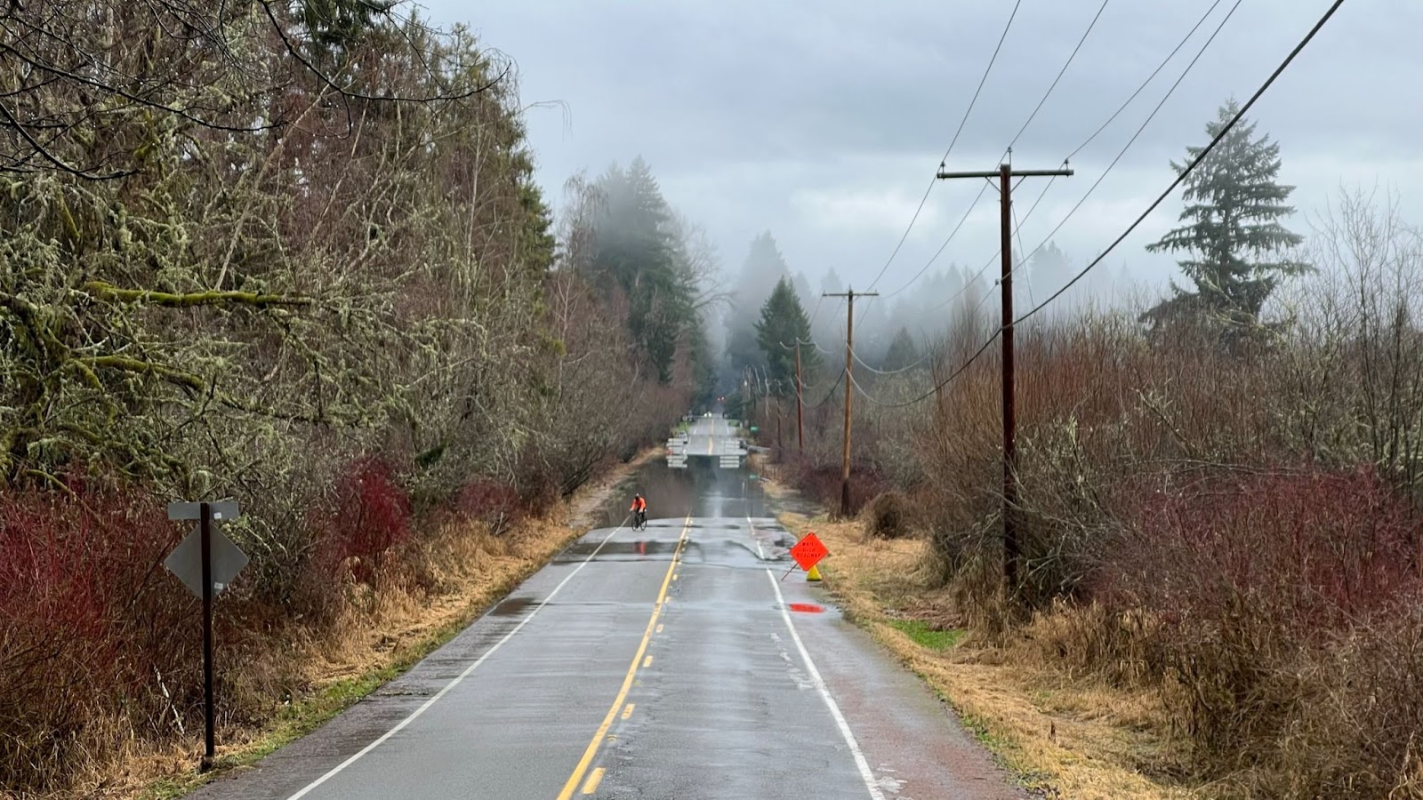
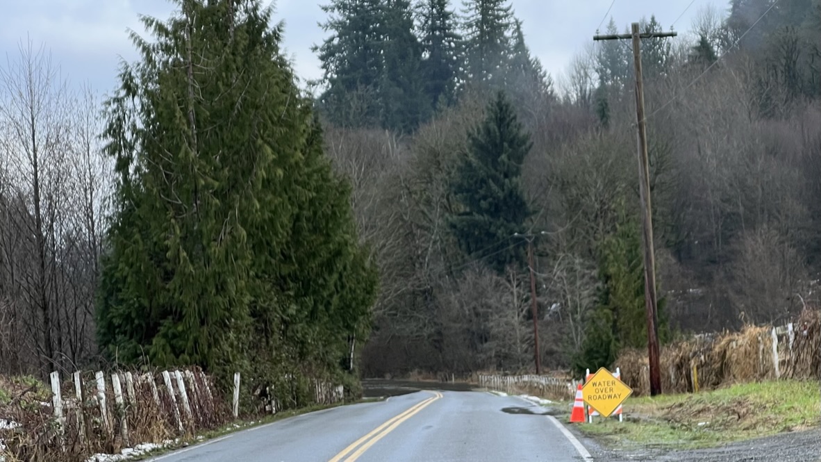
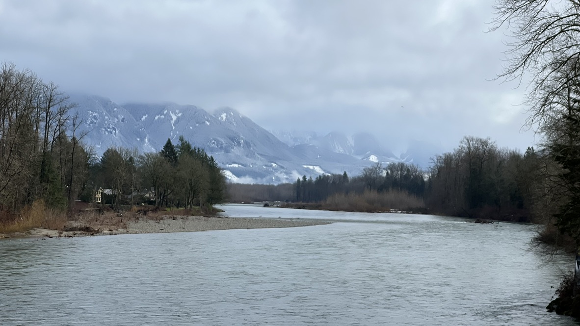
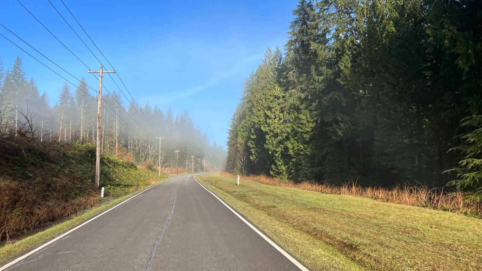
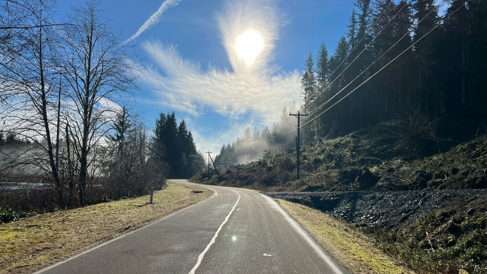
Lake Chaplain Service Road


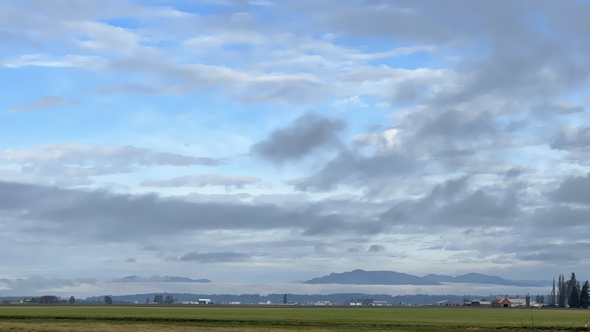
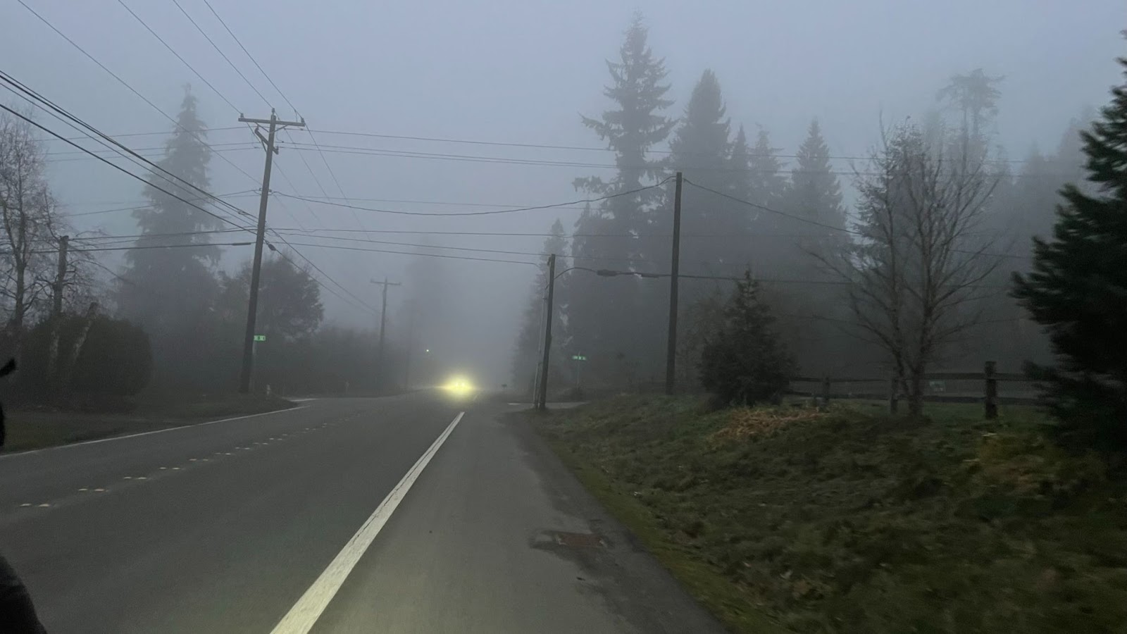
During a temperature inversion, go higher to get out of the cold lowland fog!
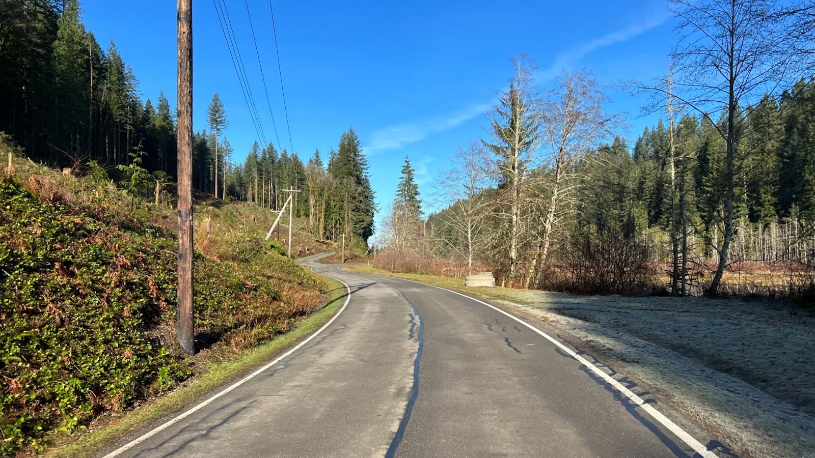
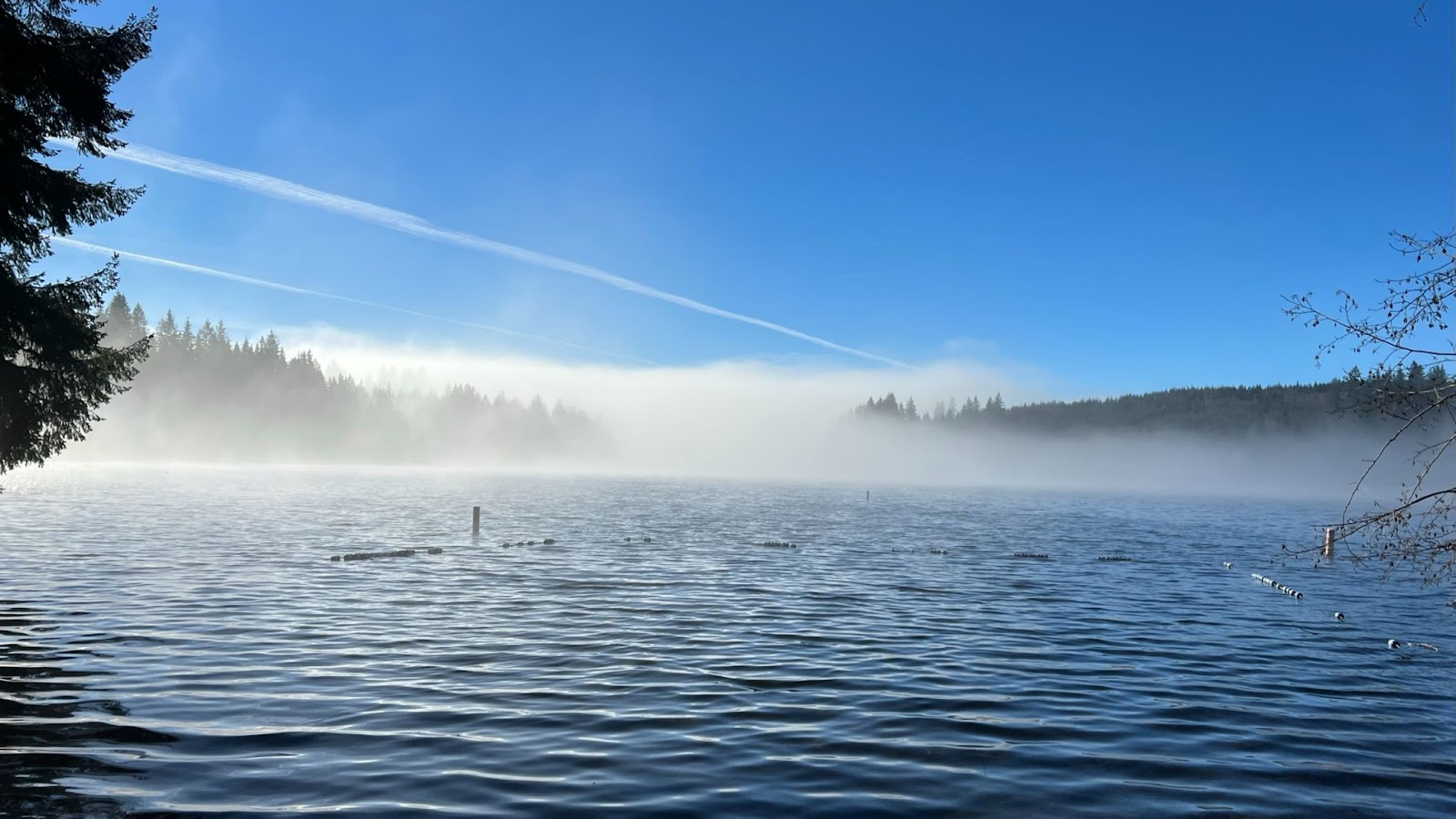
Info Control – Lake Chaplain
34.9 miles / 56.1 km
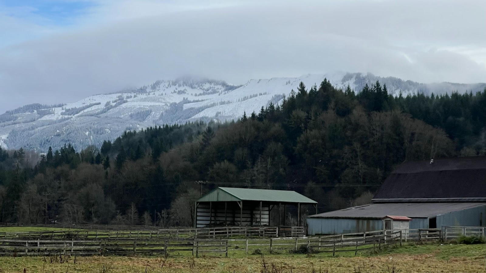
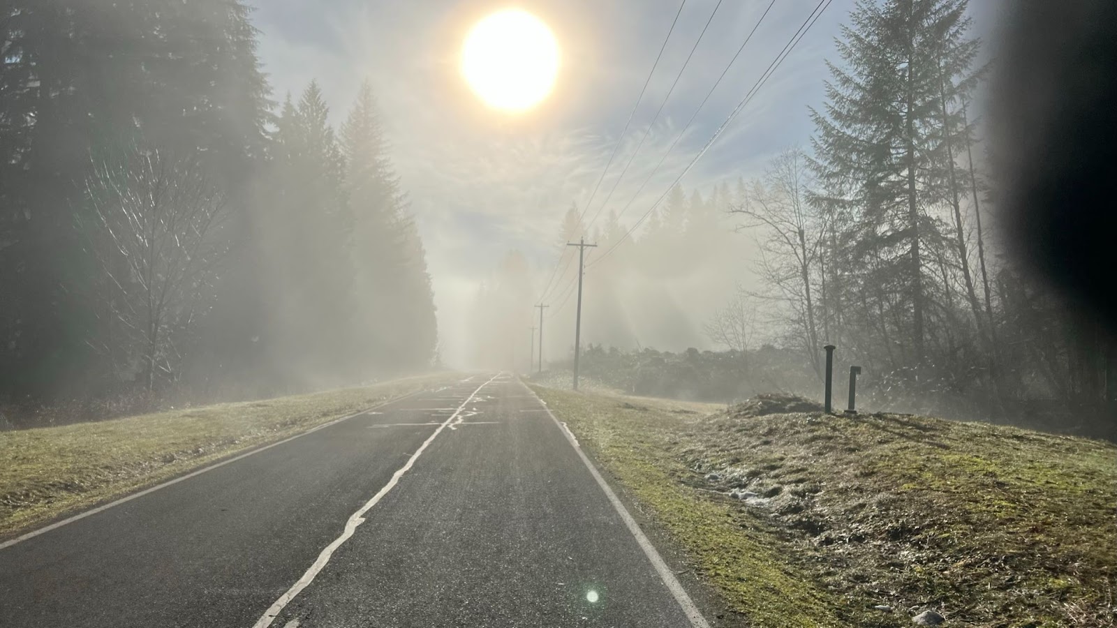
Fog billows over mountain peaks

Our last glimpse of warm sunshine for the day
Back down into the fog
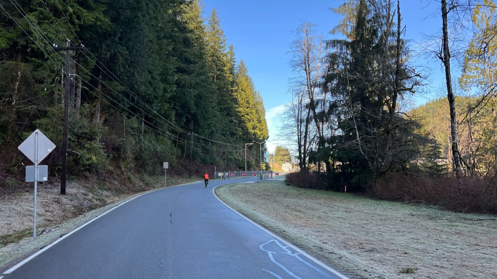
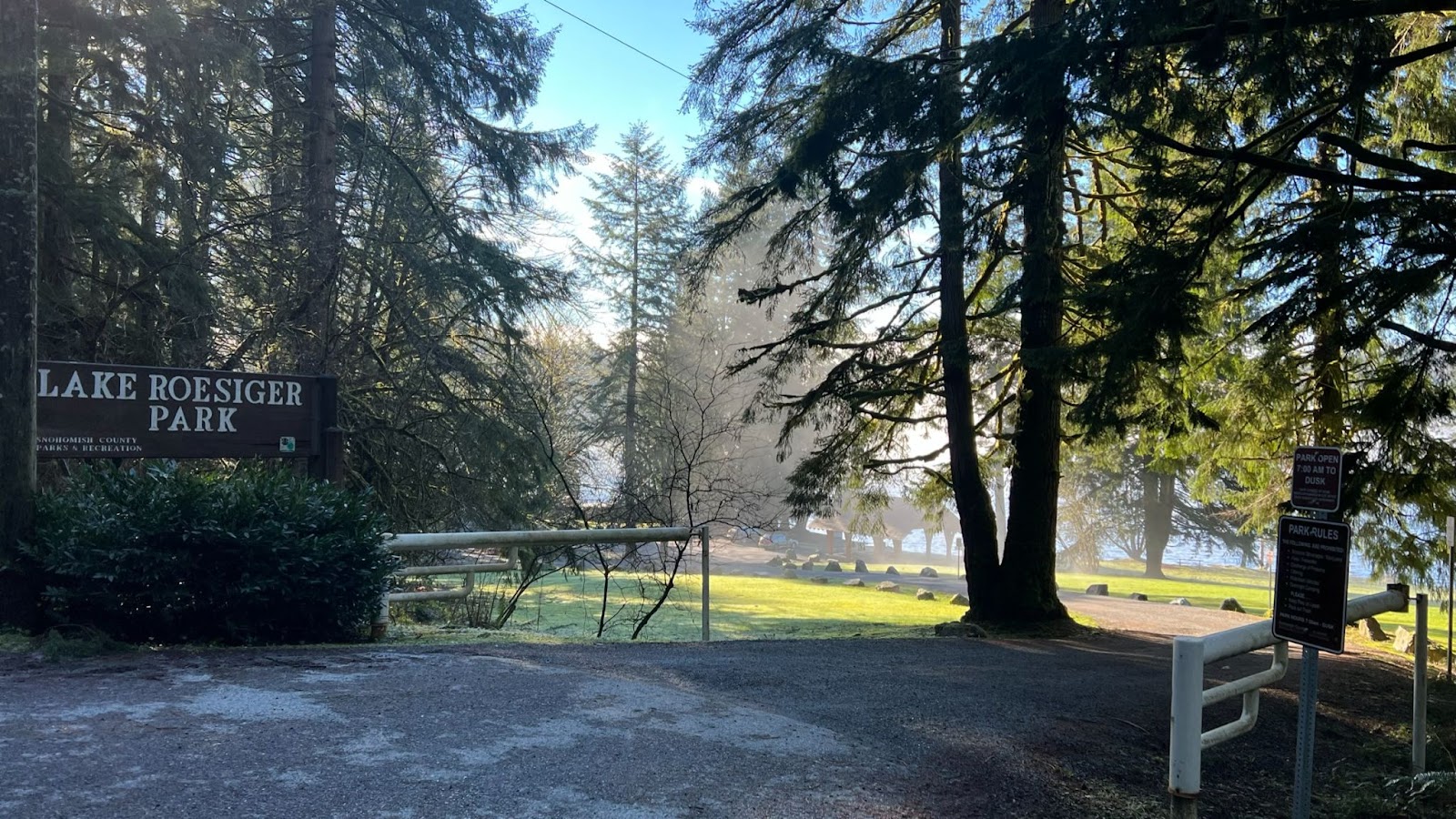
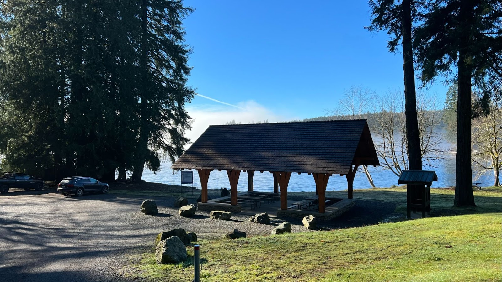
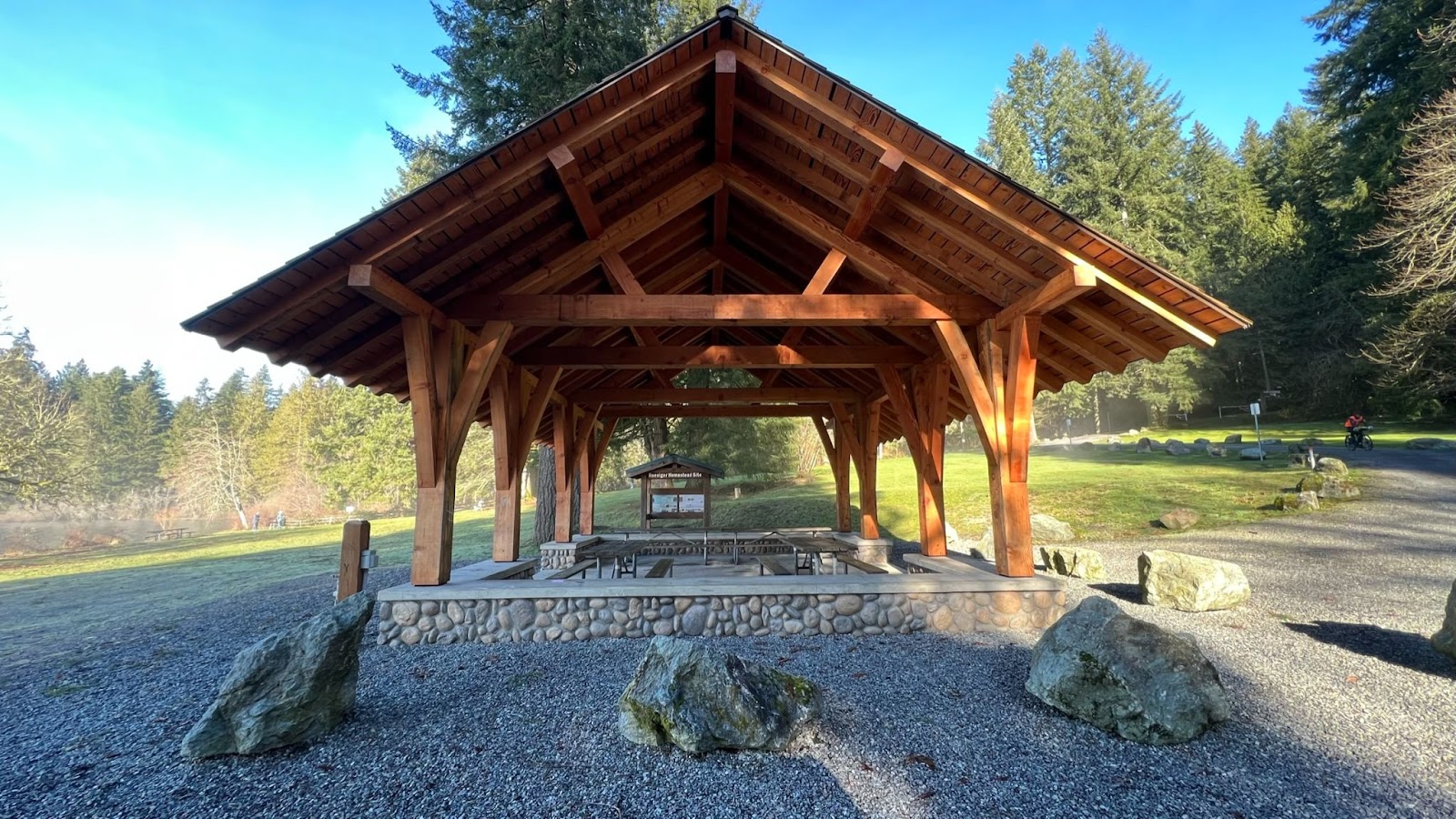
Info Control – Lake Roesiger Park
48.9 miles / 78.6 km
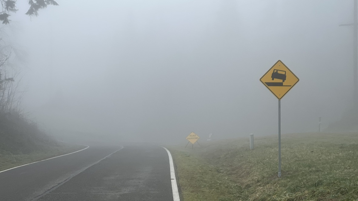
The fog cleared briefly as we climbed up to the park.
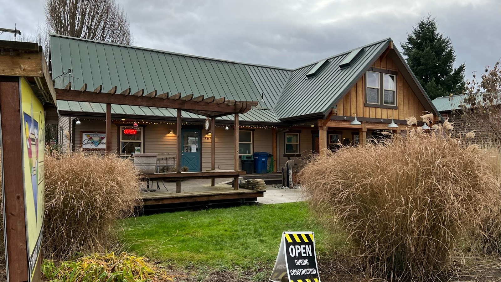
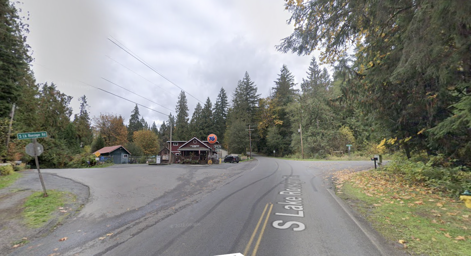
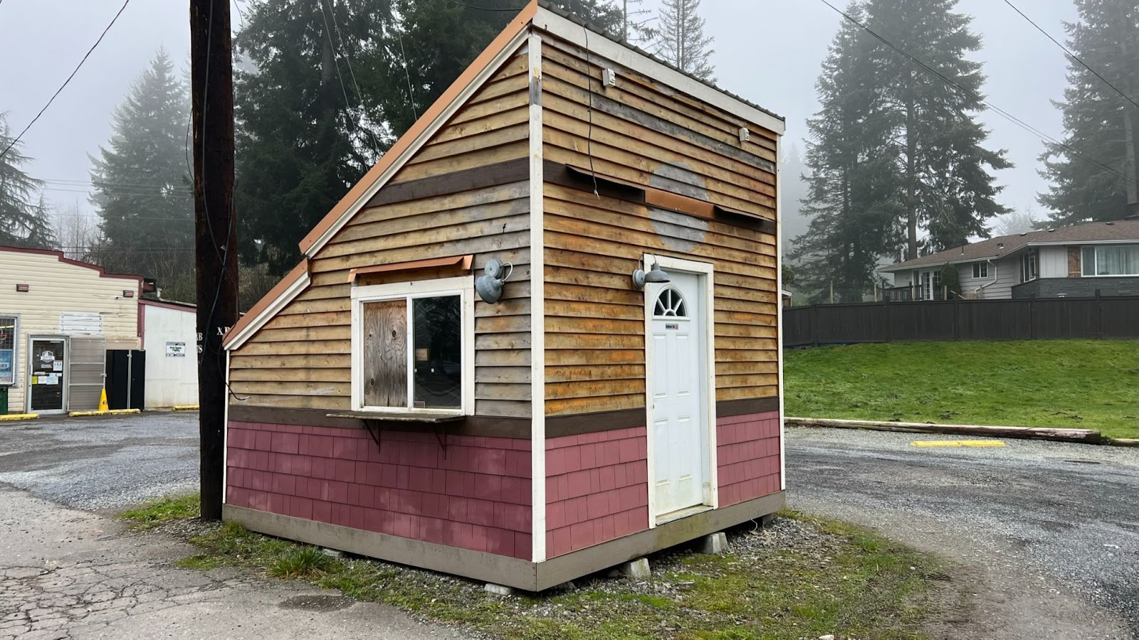
Lake Roesiger Store
50.0 miles / 80.4 km
Last services until Granite Falls.
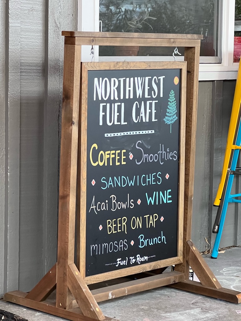
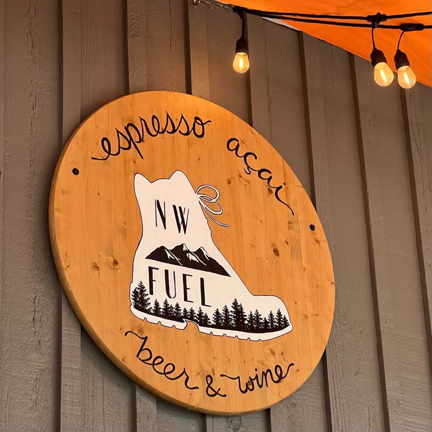
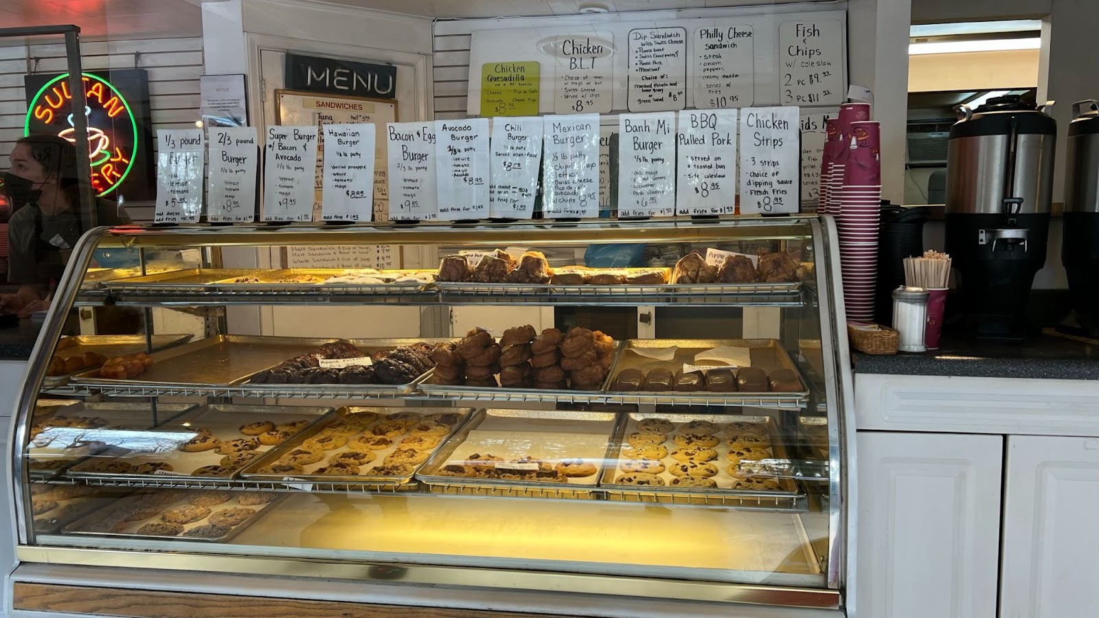
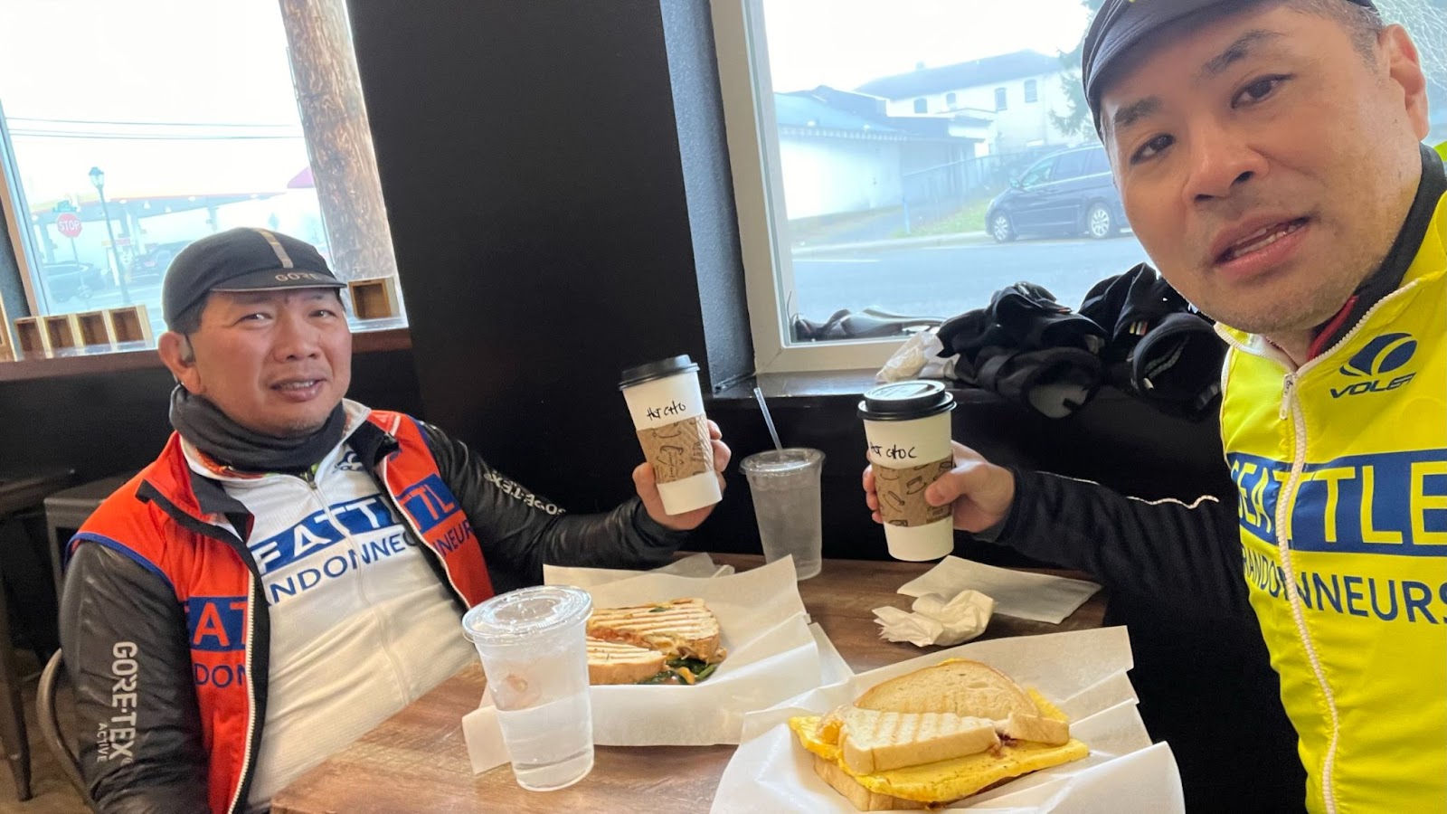
Granite Falls
58.1 miles / 93.5 km – almost half-way!
The place formerly known as Hanky Pies
First course…
Second course…
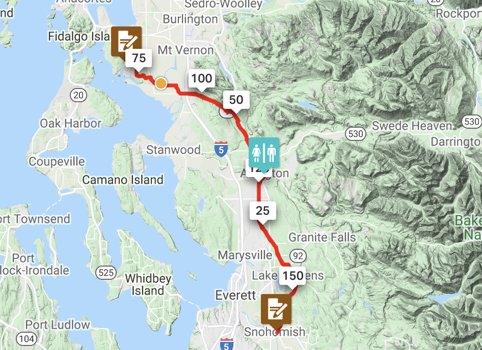
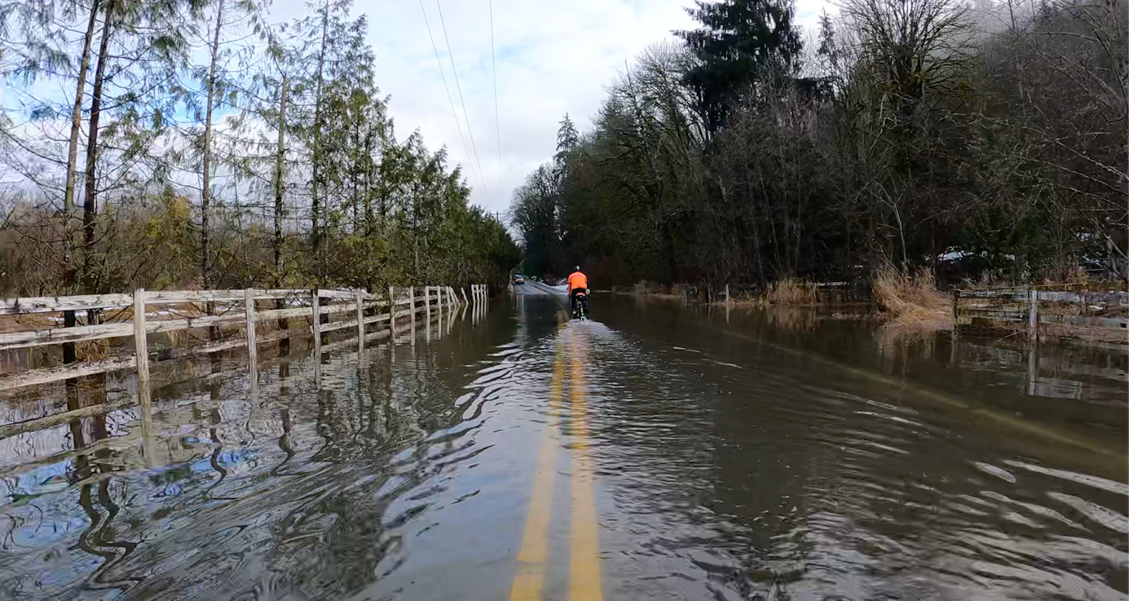
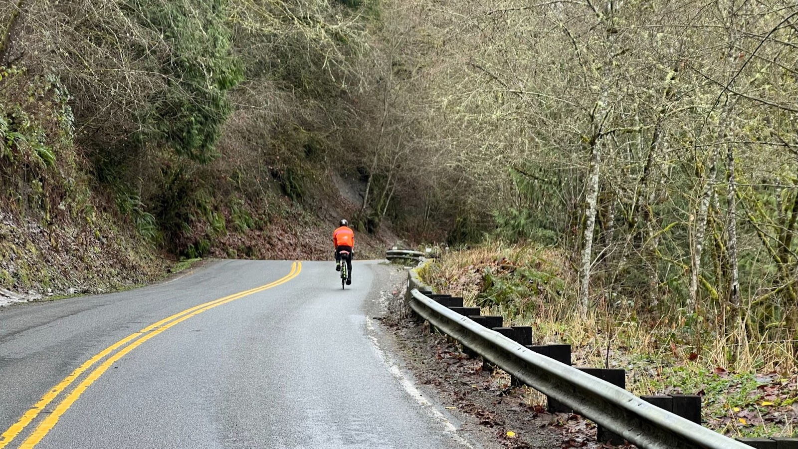
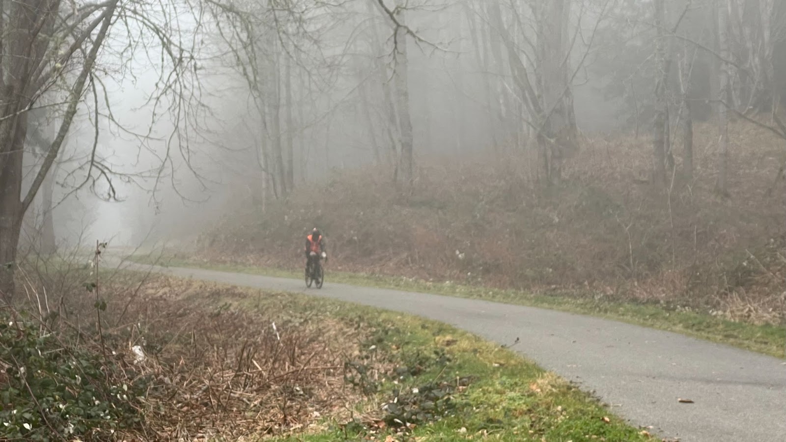
Centennial Trail to Bryant
Info Control – Bryant
75.7 miles / 121.8 km
“Uhm. John, we’re going to need a new info control.” Talked to the friendly new owners.
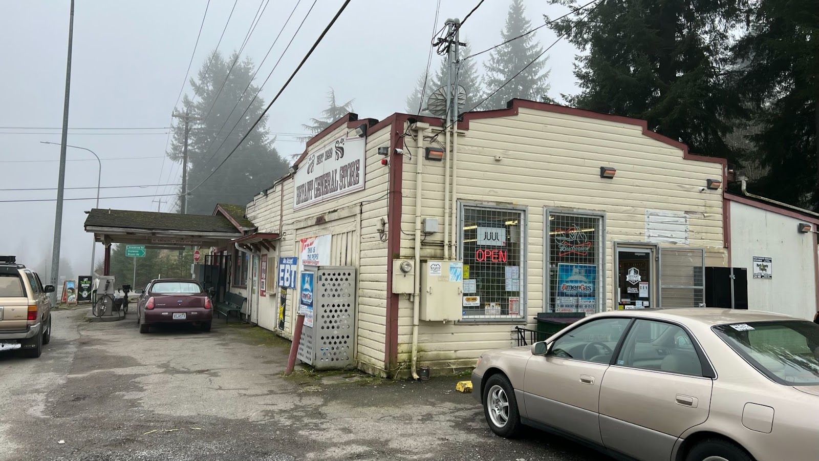
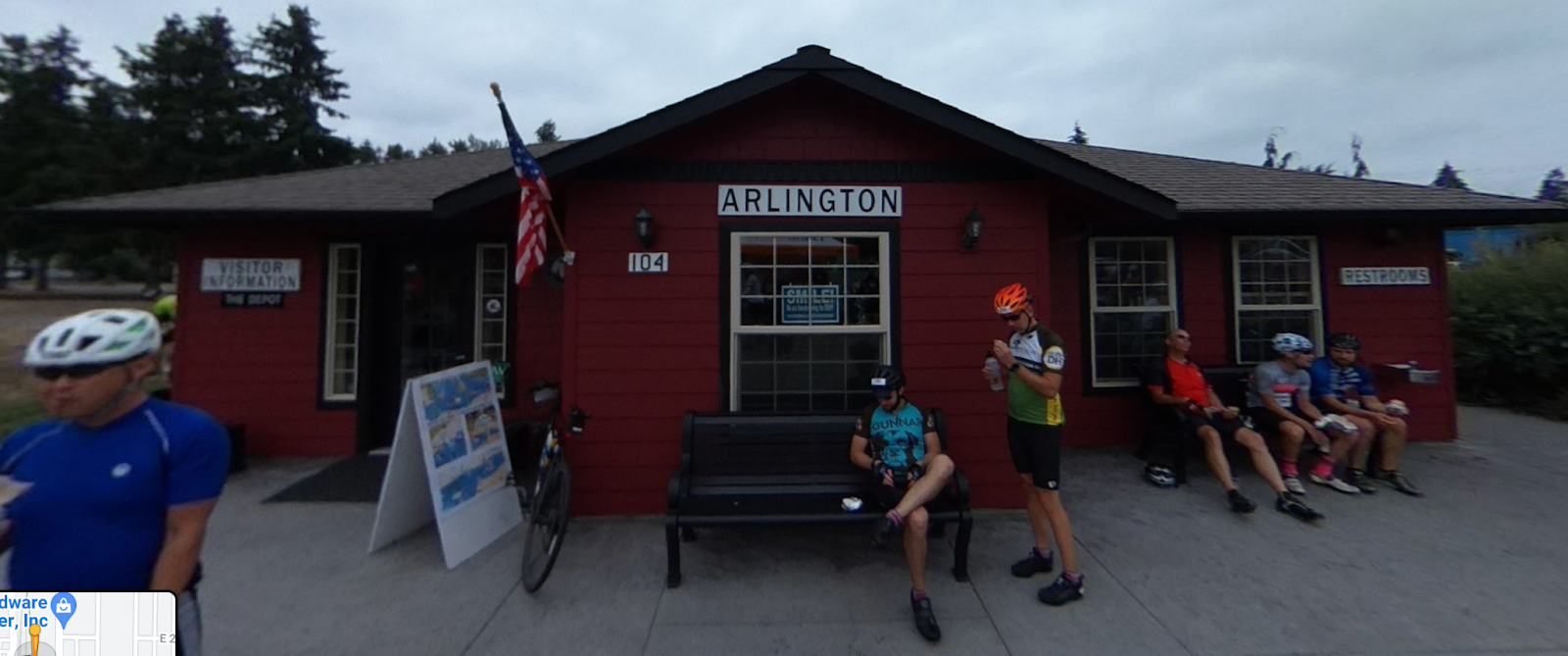
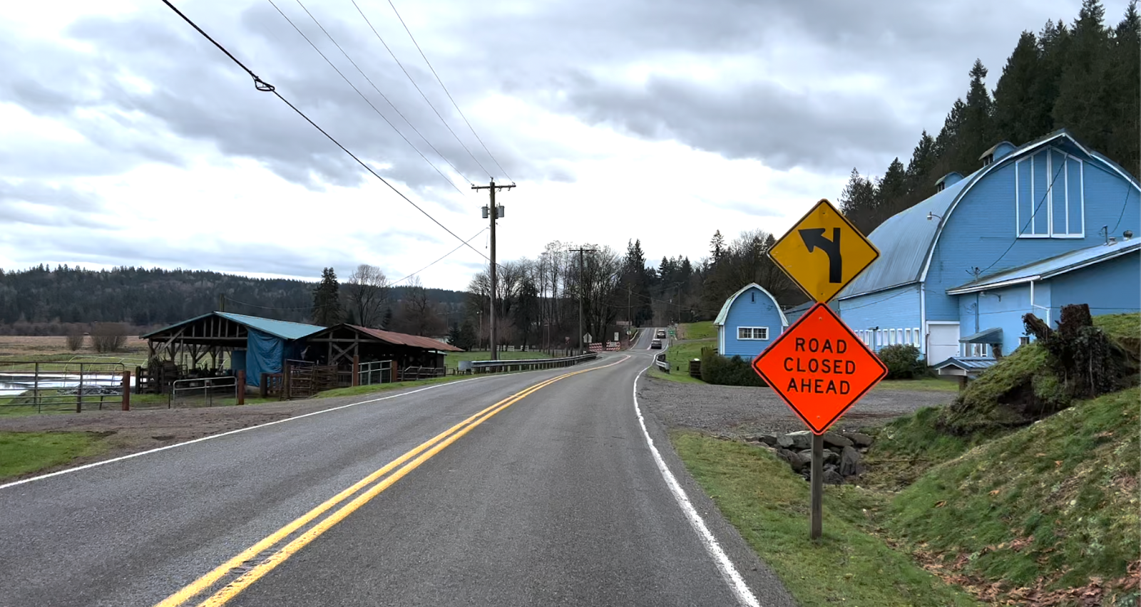
Arlington
79.4 miles / 127.8 km
Legion Memorial Park
Water and Restrooms on right

Who’s idea was this to ride in the fog?🥶
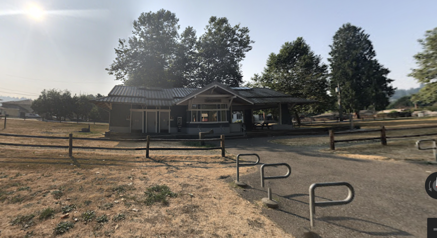
Machias Station Park
96.3 miles / 155.0 km
Water and Restrooms (dusk to dawn)
…on Broadway
They say there’s always magic in the air
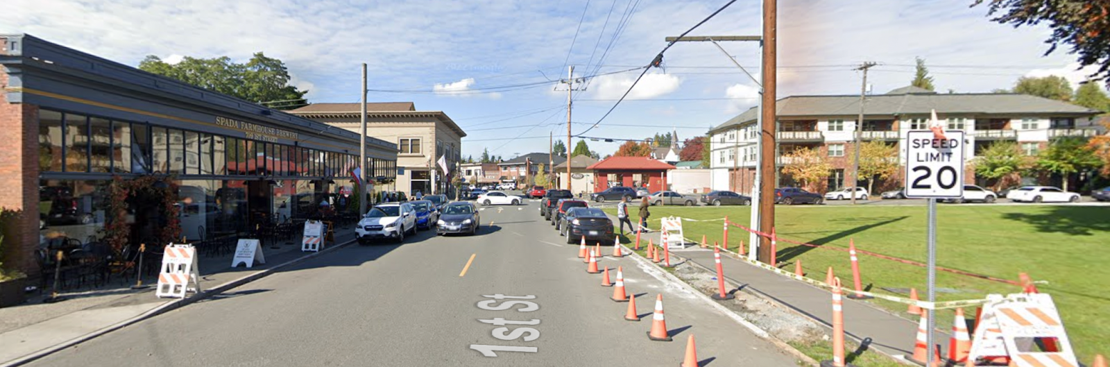
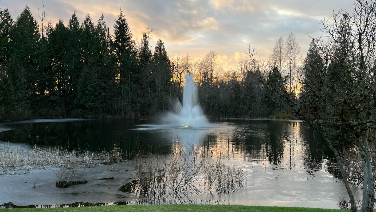
Finish – Postdoc Brewing Company
125.0 miles / 201 km
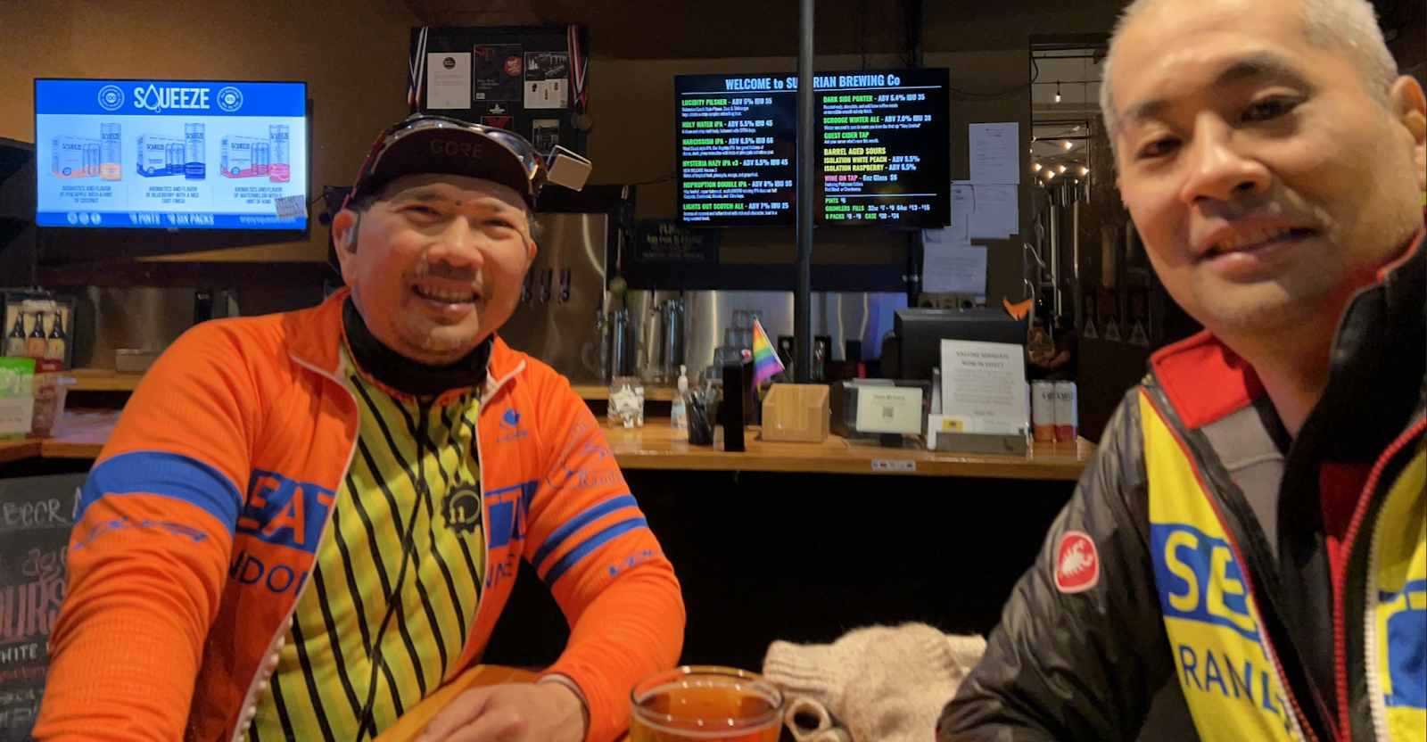
Hazy IPA for a hazy day!
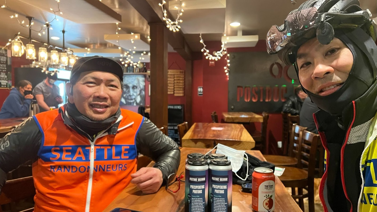
Was bone chilling!
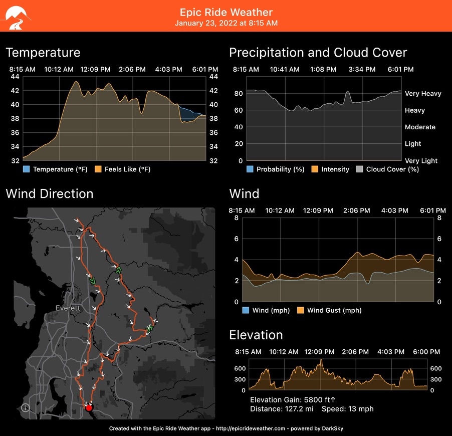
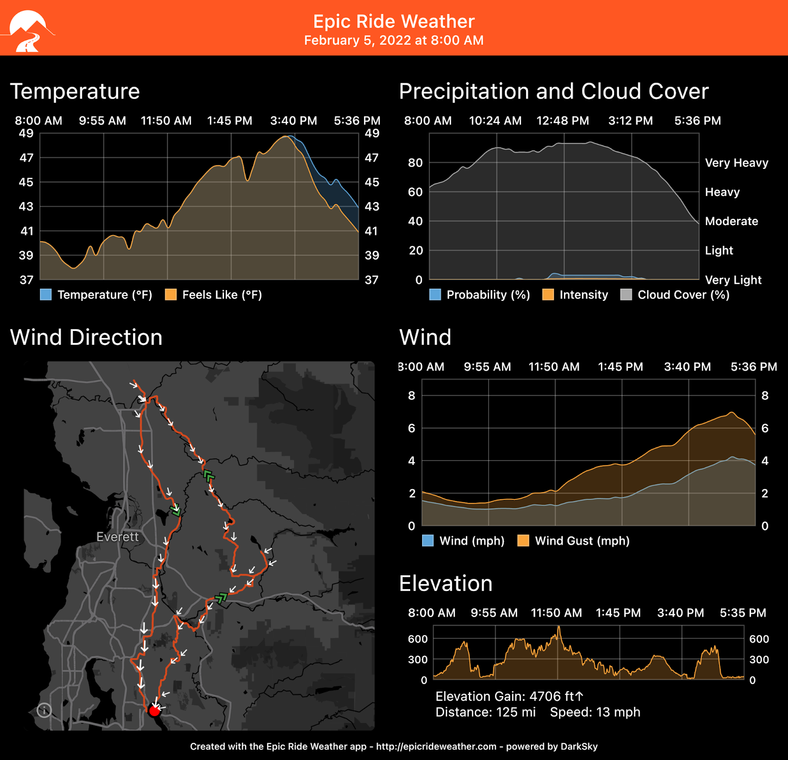
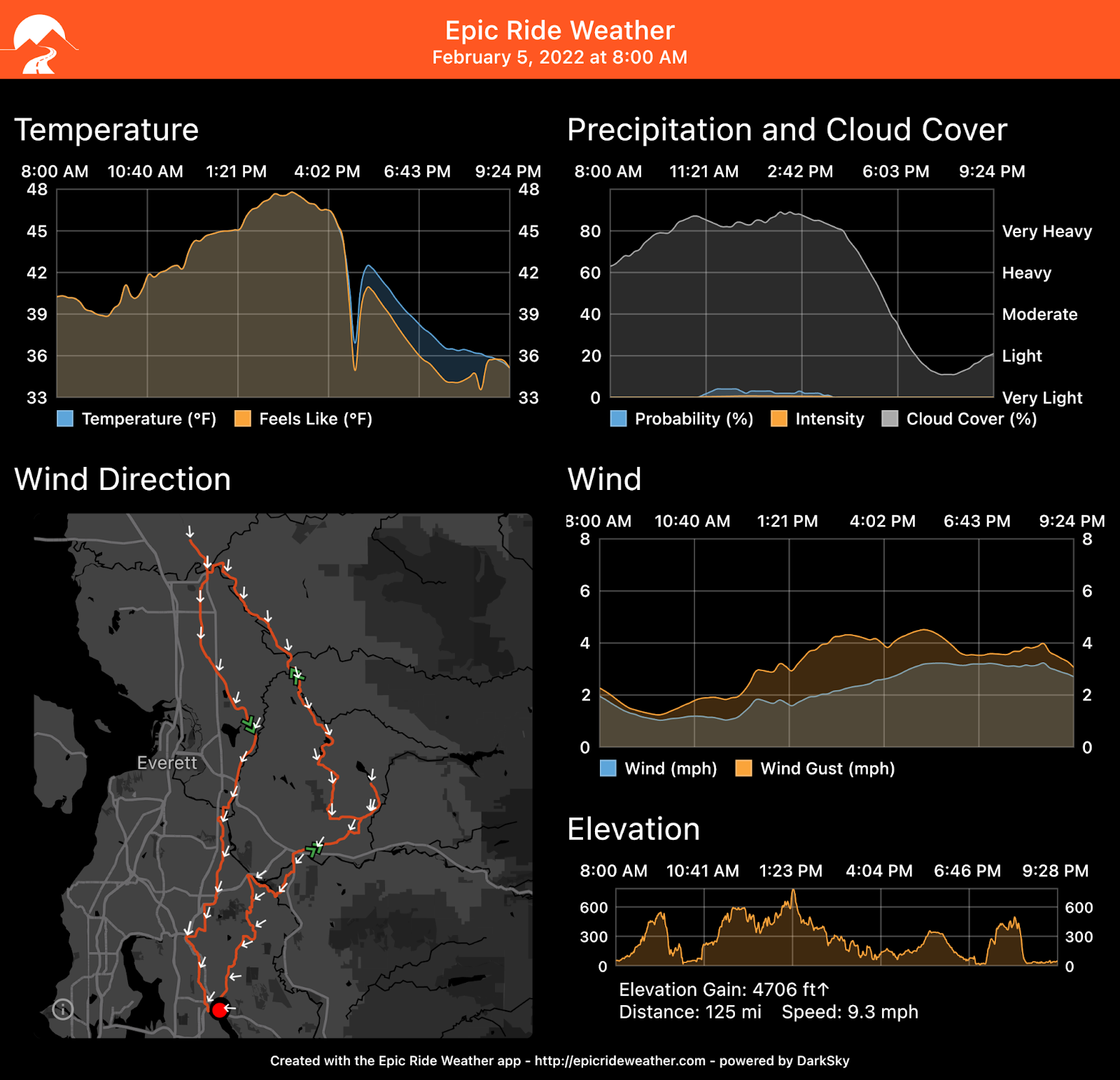
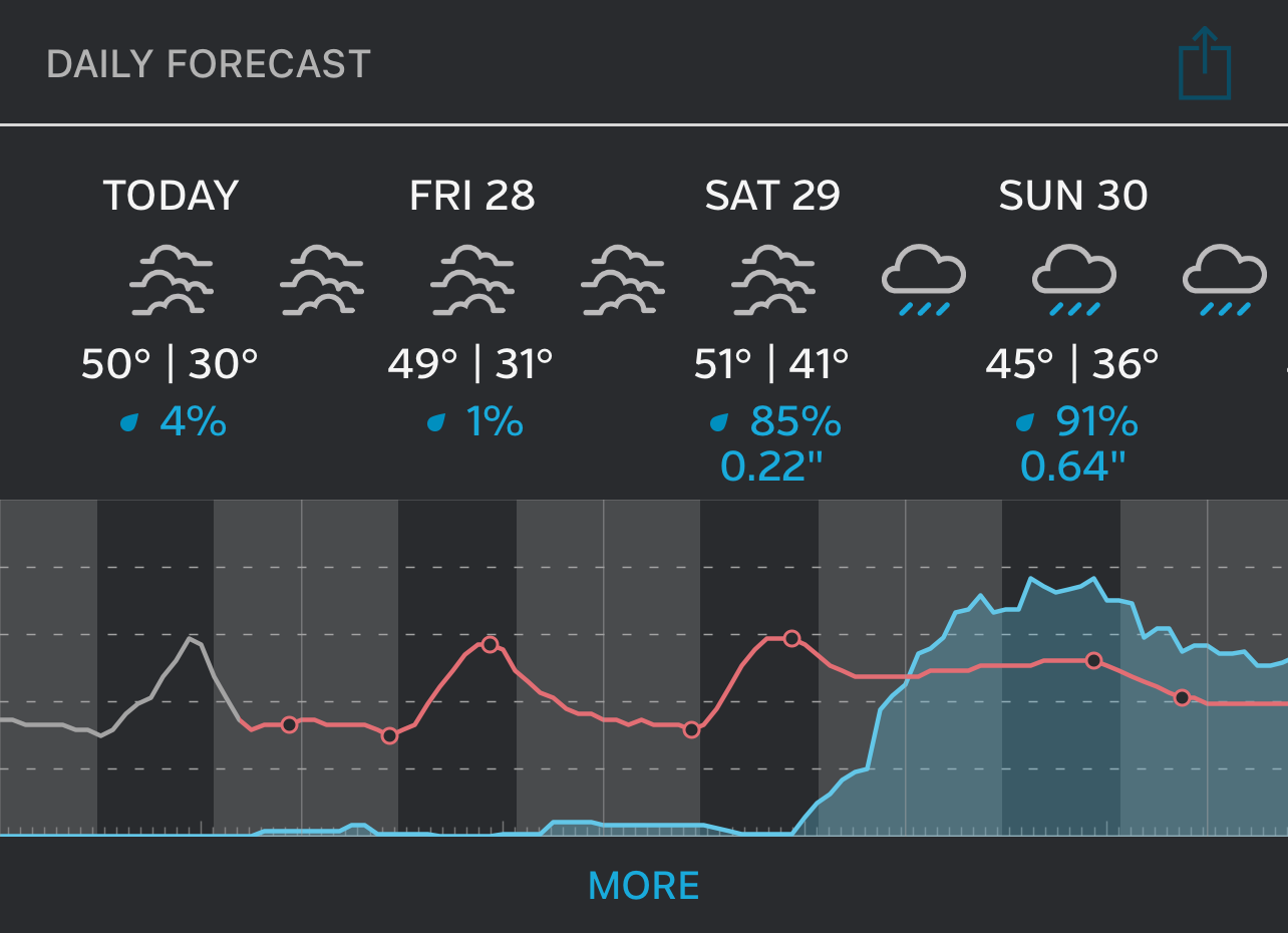
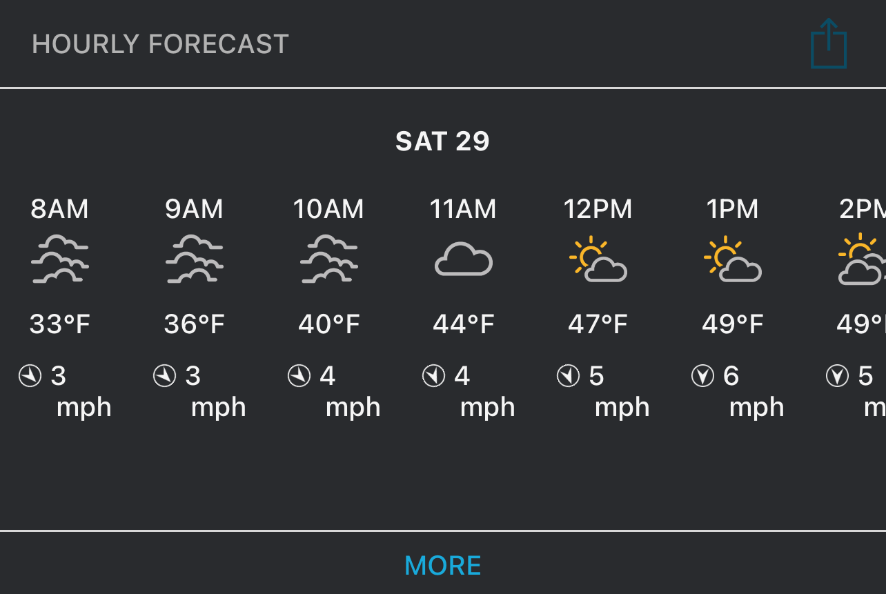
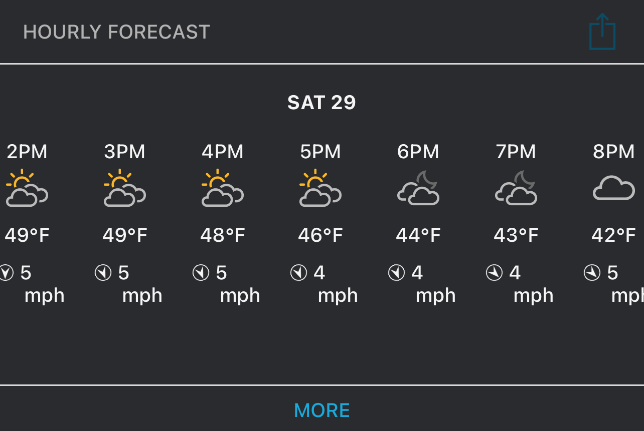
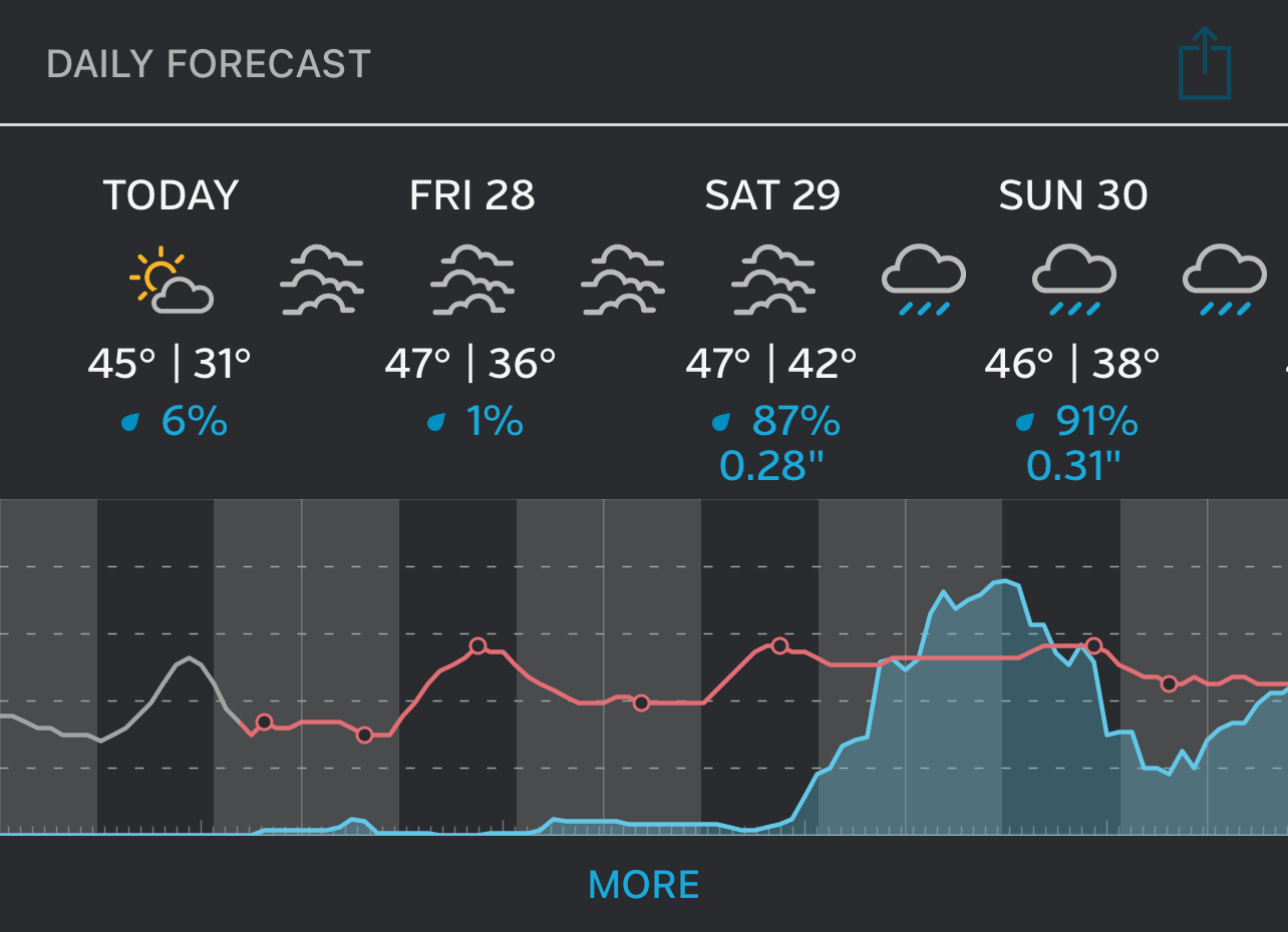
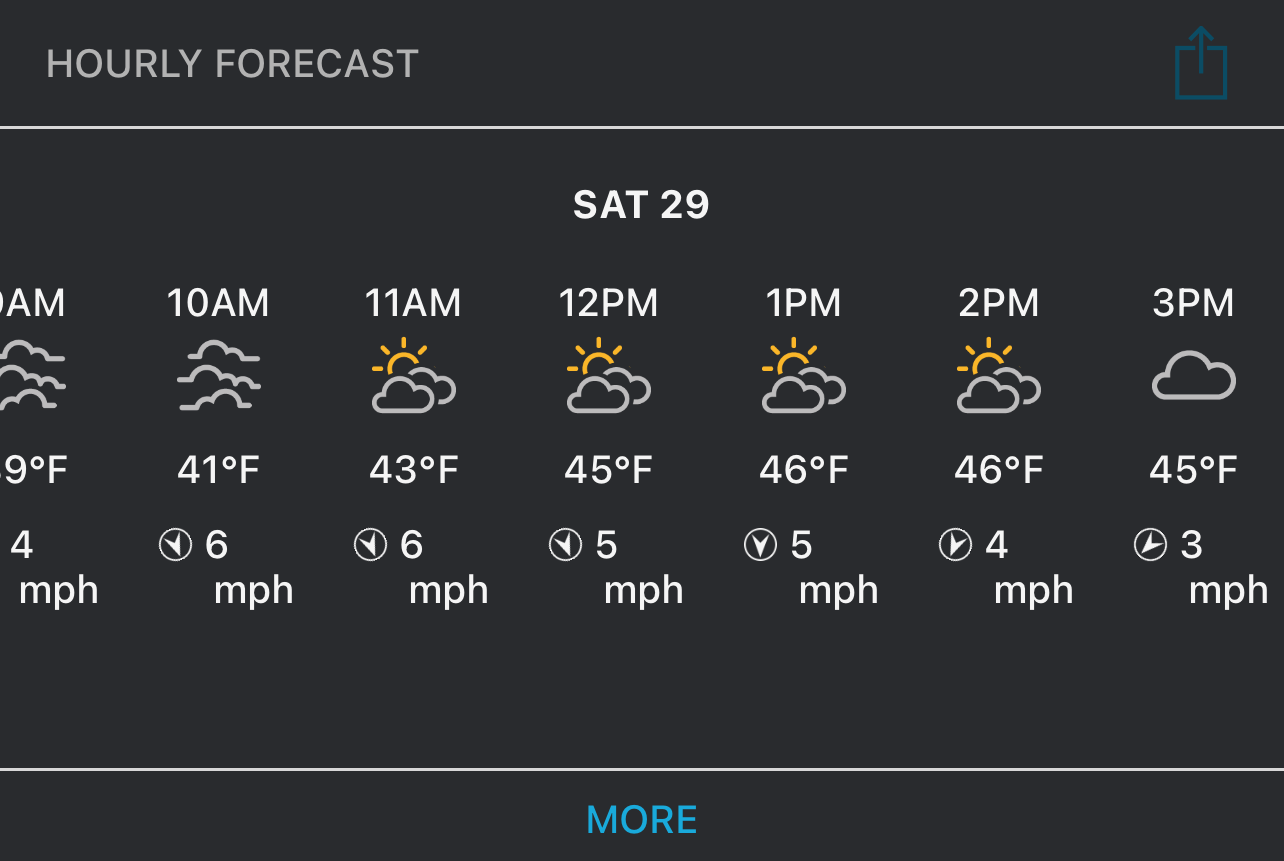
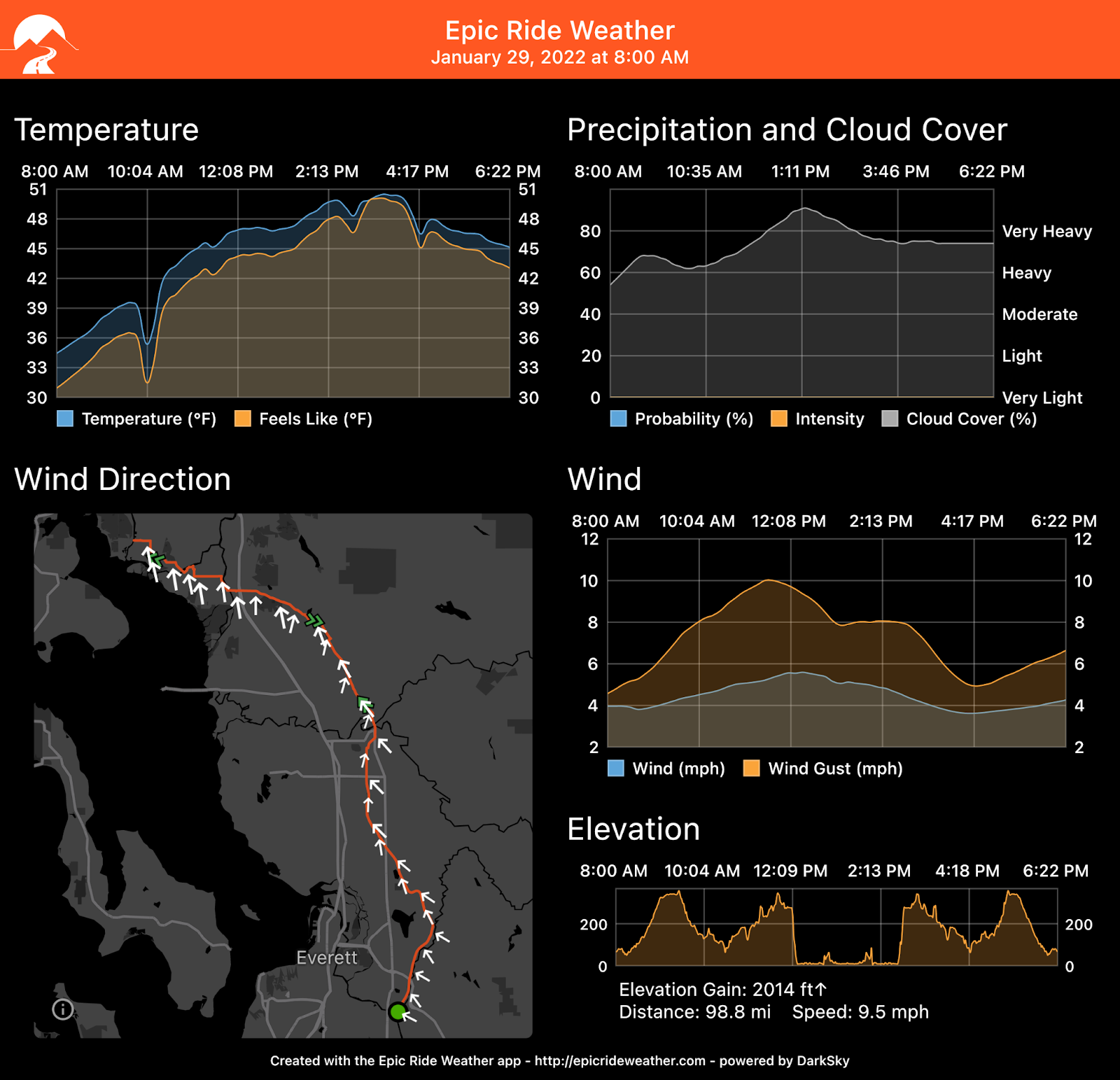
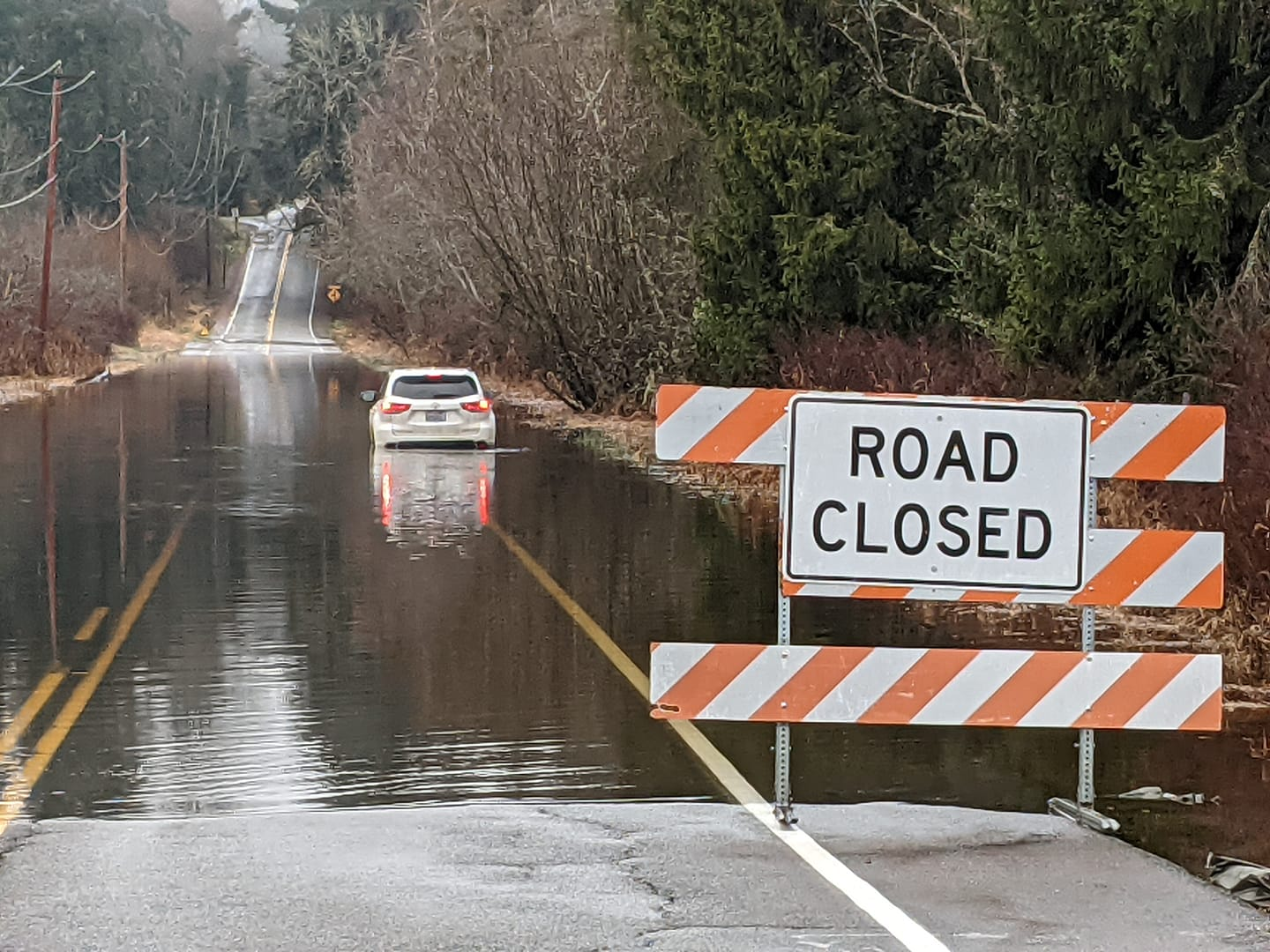
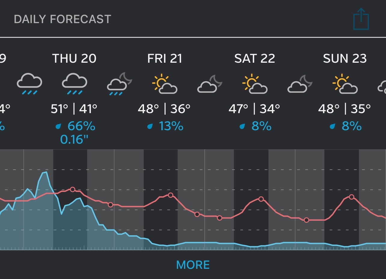
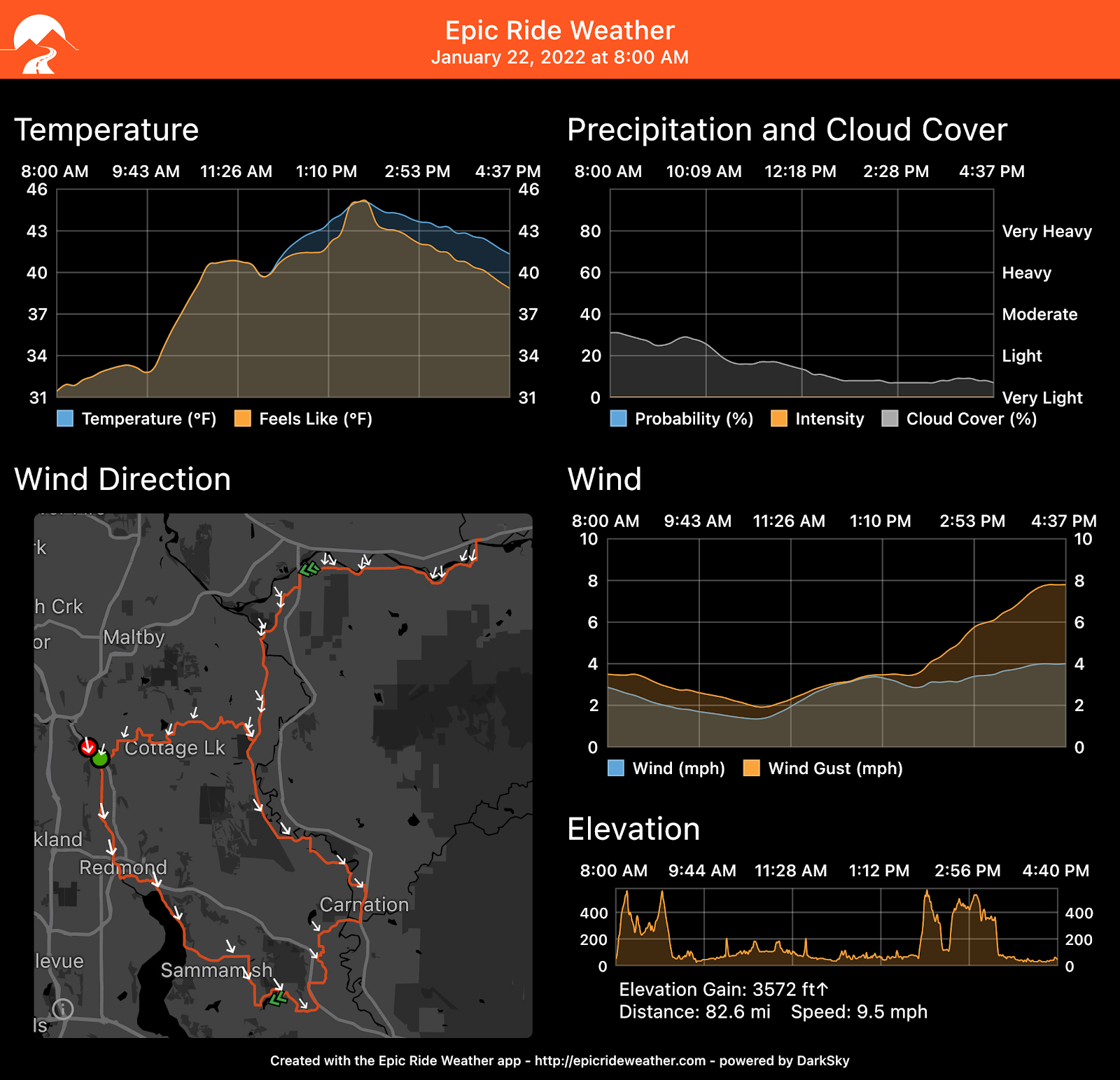
Your weather forecast
In Redmond
Epic Ride Weather