Text by Sharan Daniel, photos by Sharan Daniel, Jason Hansen, Mitch Ishihara, Keith Moore, and John Nguyen
This brevet updates RUSA route #756, which some riders remember fondly from 2013. The first day, 383 km, takes you to the coast and back to Centralia. The second day, 220 km, takes you into mountains with stunning descents and lakes. While you pass through some remote areas, there are services about every 50 km, with an exception or two, as noted below.
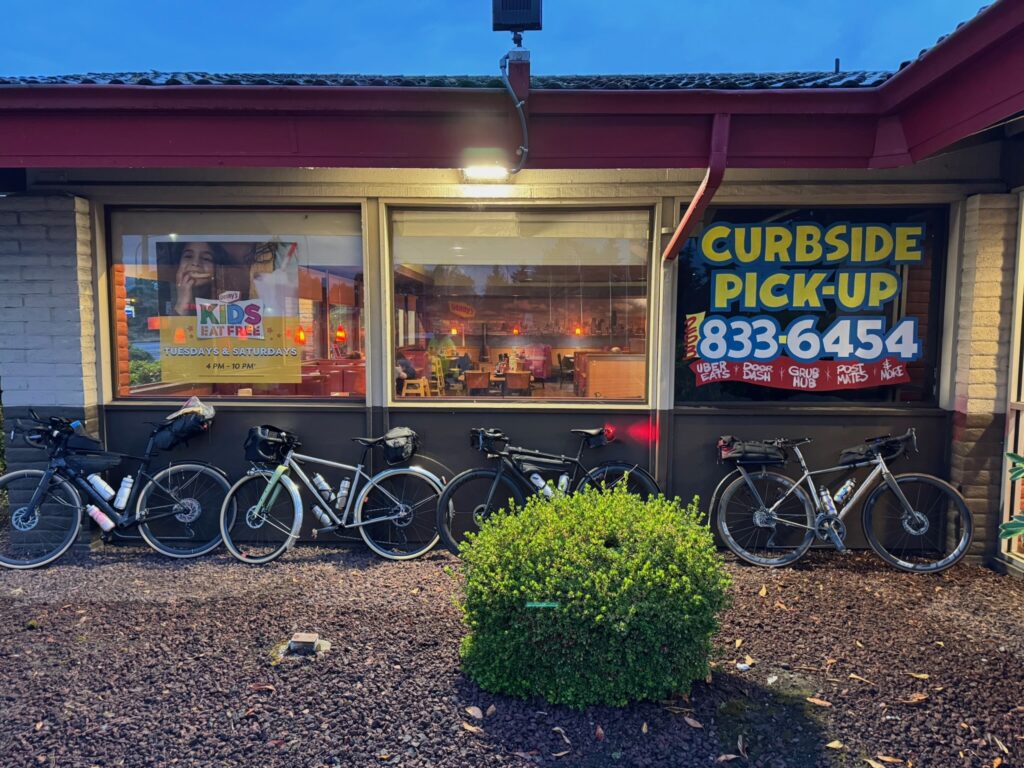
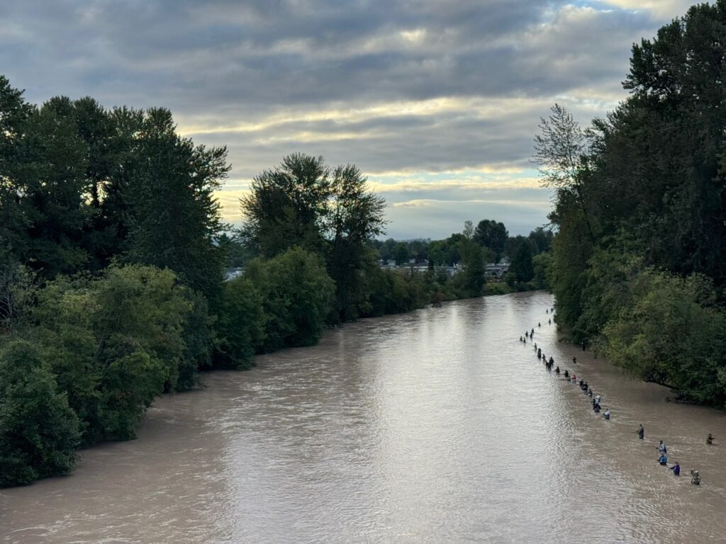
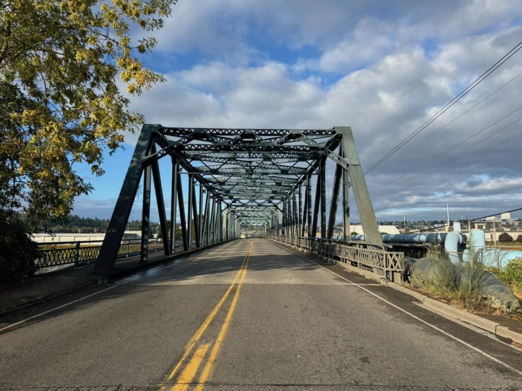
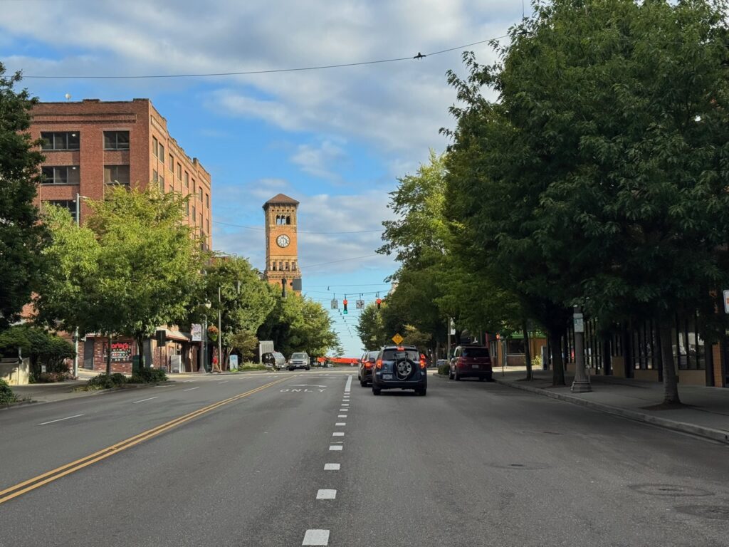
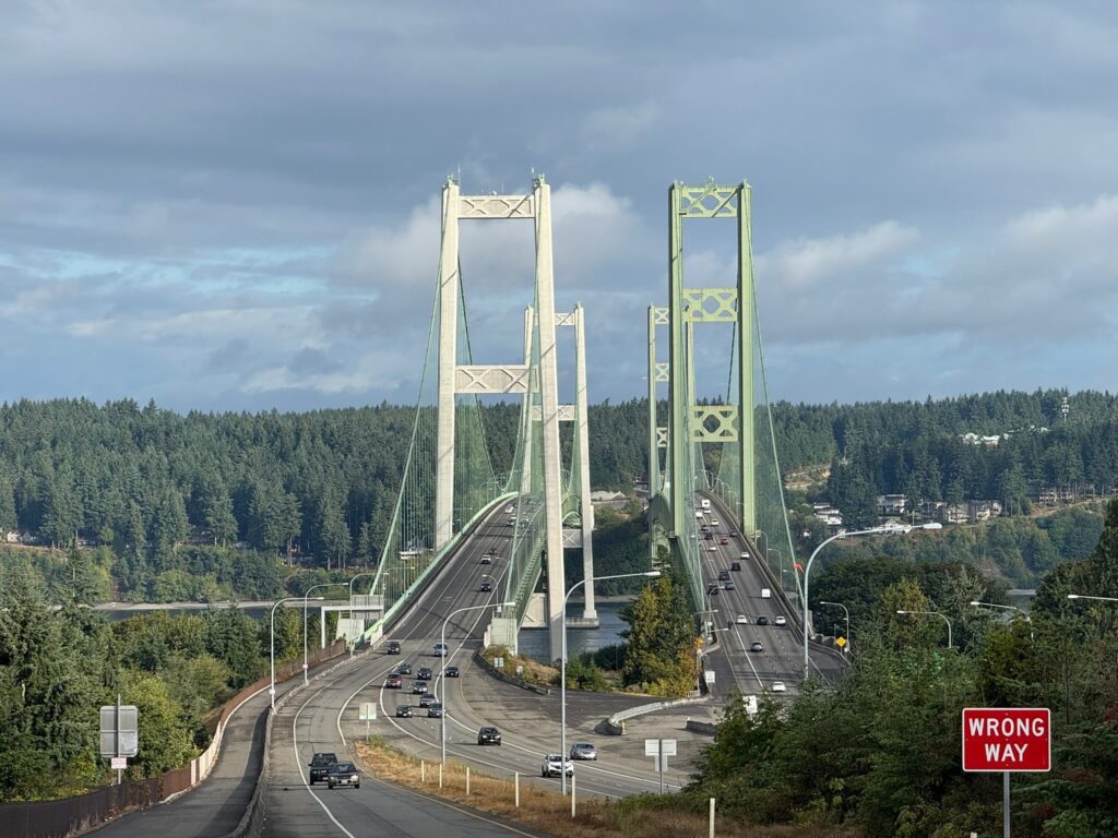
The ride starts at Denny’s in Auburn, where you can fuel up before heading out. Warm up on the Interurban Trail down to Pacific, then follow the Puyallup River to the outskirts of Tacoma. There are some twists and turns between km 19 and 21, as you cross the river twice, and another odd loop between km 32 and 34 as you make your way to the Lincoln Bridge, the best biking alternative to the Fishing Wars Memorial bridge that is now closed. Enjoy one more river crossing into Tacoma and and take in the quiet Saturday morning urban waterfront scene. Finish your first 50 km by crossing the grand Tacoma Narrows Bridge into Gig Harbor. You’ll pass a park restroom with water at 53.3 km.
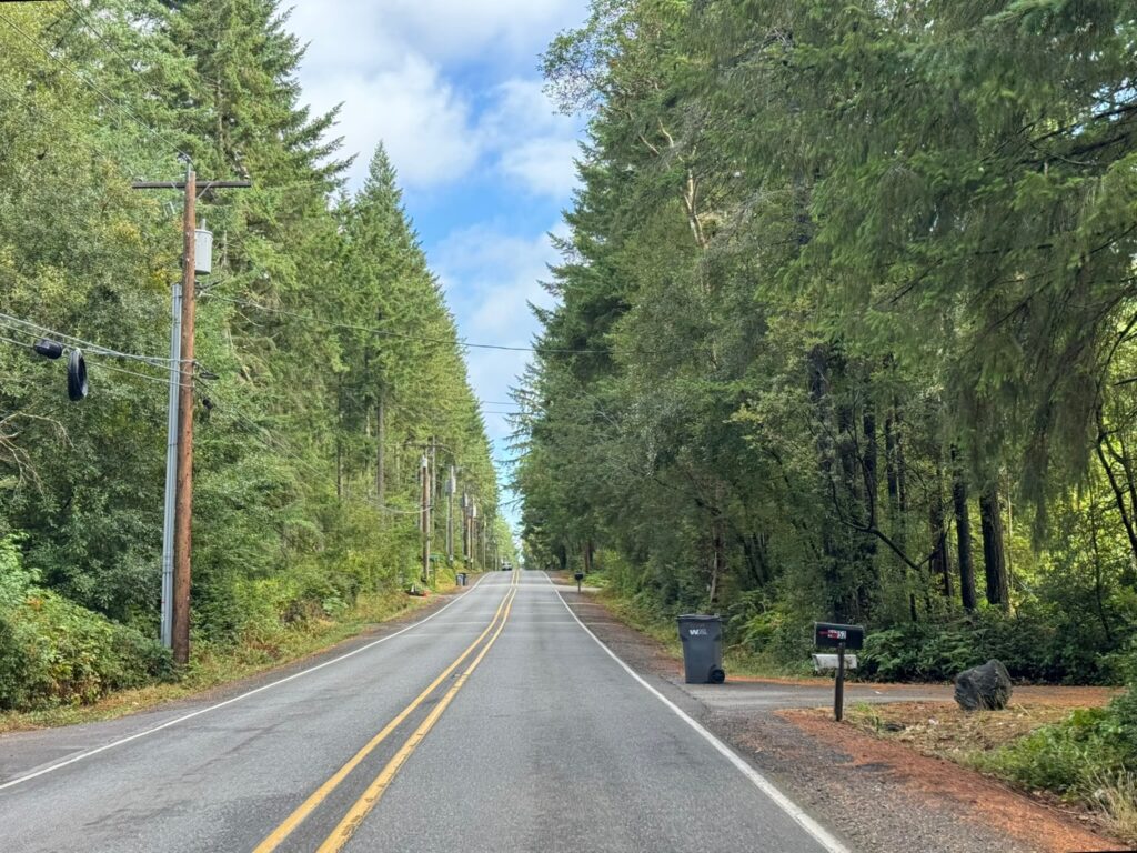
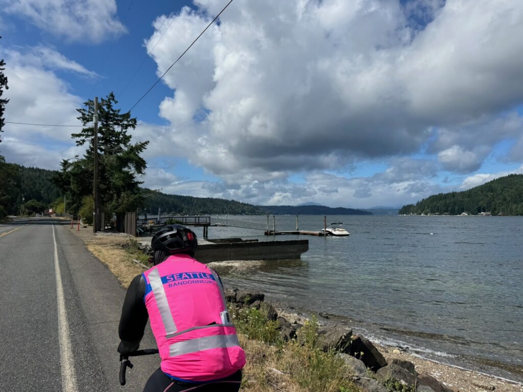
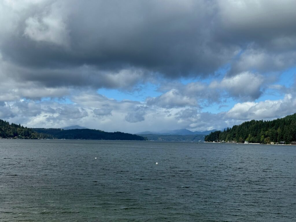
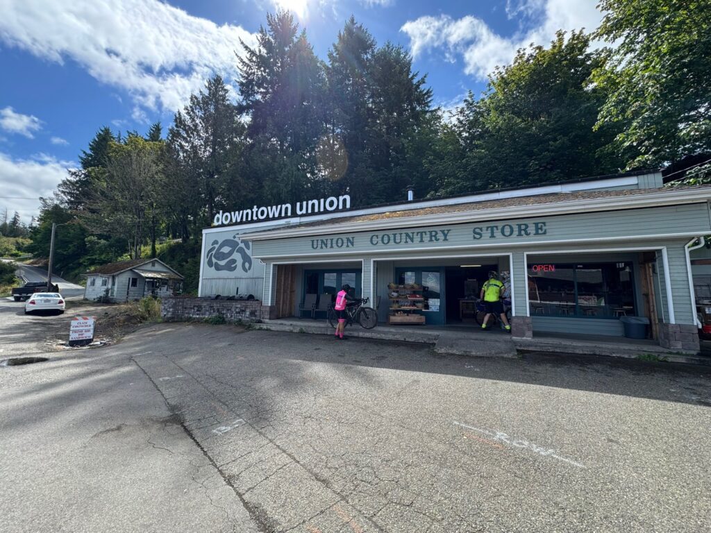
Quiet roads take you over to WA-3, which leads to Belfair and south along the Hood Canal. You’ll find a few options for food, water, and restrooms along this stretch, starting with the control at Belfair, Sandi’s Deli Mart (91 km), and ending with the Union Country Store (117.5 km), a pre-riders’ favorite for its tasty offerings. Follow WA-106 until you reach Purdy Cutoff Rd at 123 km. The road is forested and pretty, but traffic is fast; ride single file here. At km 127.4, take your time as you make a left onto US-101: more fast traffic here, and lots of it. Relief comes 5 km down the road, as you turn west. If you need a break or water, there is the small Dayton Store at 141.6 km. Another 15 km away is the Matlock General Store, with kind staff and a clean restroom; it’s also the control marking your turn south.
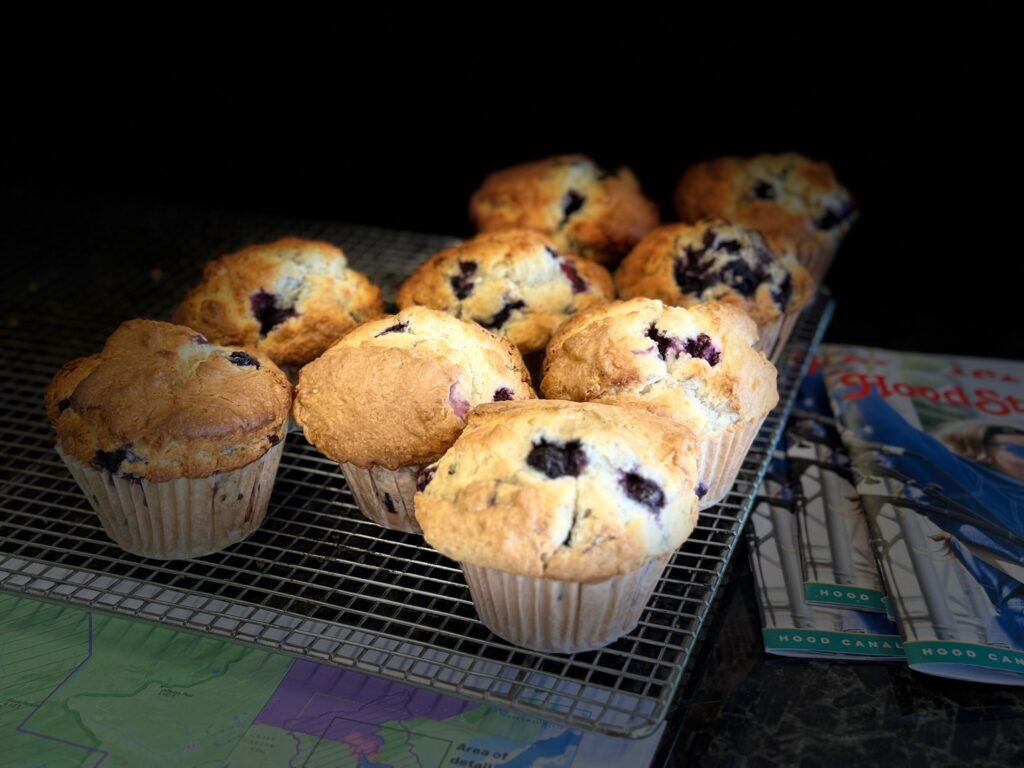
Brady Food Mart is at the turn west into Montesano at 186 km; it has a portable toilet. A little less than 10 km into town are a Chevron station (24 hrs) and the Fishin Hole restaurant (closes at 8:30 p.m.).
Heading into Cosmopolis you’ll begin to smell the ocean air. At 211 km, you’ll find another Chevron (closes at 8 p.m. on Saturdays). Soon you’re riding along the water and then heading into Westport, at 241.5 km, where there’s a Shell with Subway inside (open till 11 p.m.), though pre-riders found the restroom sub-par. Another 20 km gets you to the Tokeland 76 (open till 10 p.m.) with well-stocked convenience store and clean restrooms. Continue to bask in the ocean air, and if not the sights (as it may be dark), the sounds of the waves, as you make your way toward Raymond and the turn inland. The Quick Stop 101, open 24 hrs, with a portable toilet, is likely your last option for supplies for the day. In Pe Ell, at 340 km, there’s a Texaco, open until 11 p.m. Just before that, at 339.4 km, about a block off-route is a Willapa Hills trailhead with restrooms and water (there’s a cue for it). From there it’s another 43 quiet kilometers to the overnight control in Centralia.
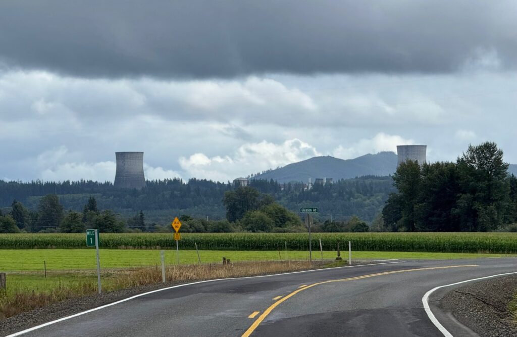
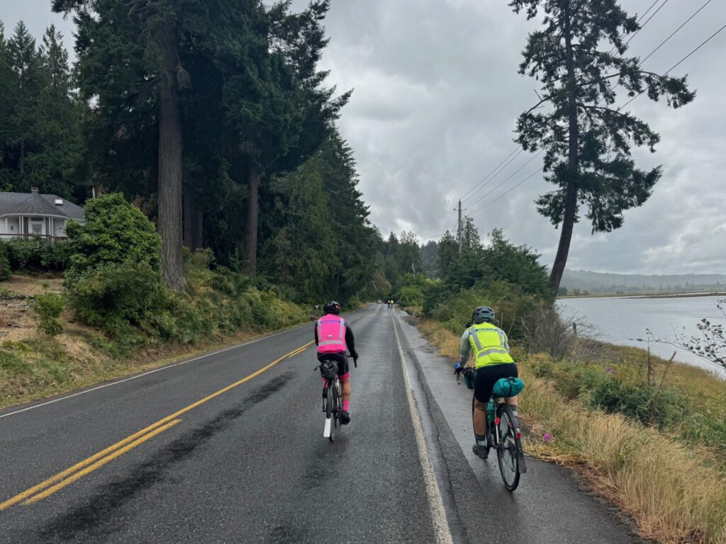
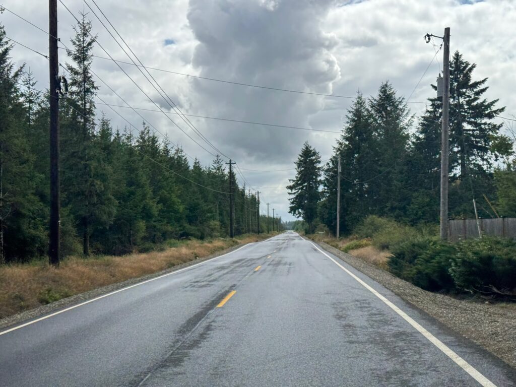
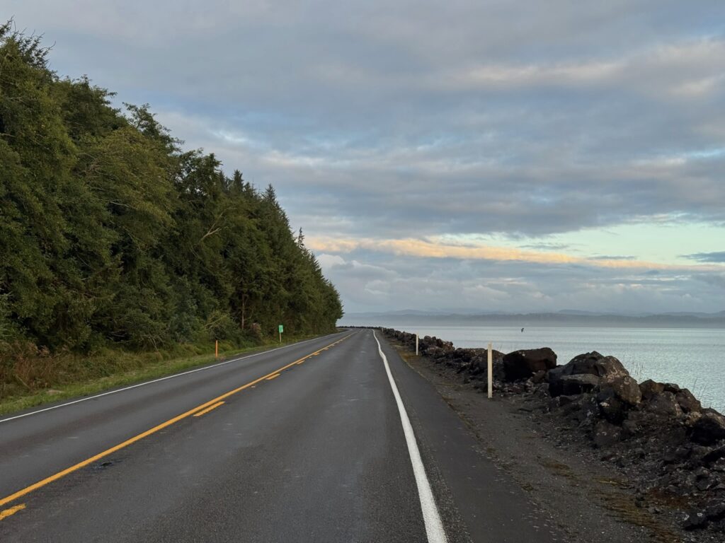
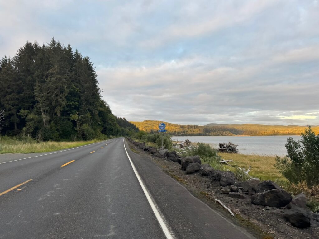
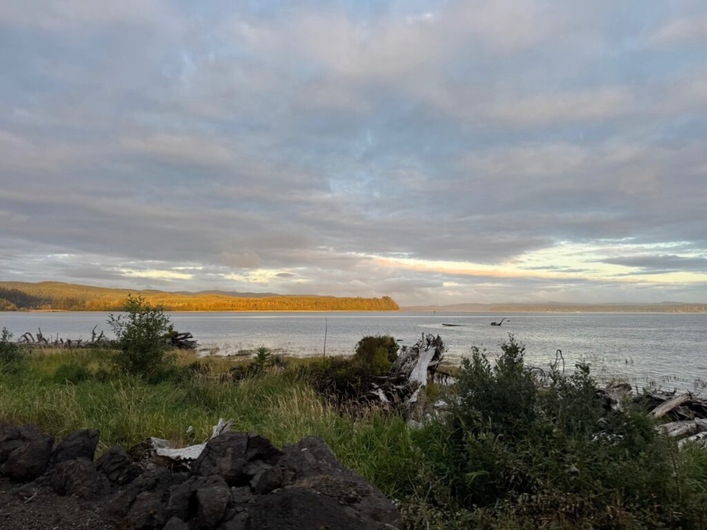
The second day (or the segment after the overnight control, if you’re riding through) takes you into the mountains via Centralia-Alpha Rd with a series of climbs through the countryside. Morton, your first opportunity for services, is 64 km away, but has several good options; pre-riders feasted on a breakfast sub and Jo-Jo potatoes at the 24-hr Chevron, and pizza at the Bucksnort Pub. From Morton to Elbe there’s more climbing, then an awesome descent (one of many on this day/segment). Also perhaps the most stressful riding of this brevet, on WA-7, with a narrow shoulder, fast traffic, lots of wide vehicles towing campers and boats. You may need a break at the Elbe Supply and Safety Stop even though it’s just 27 km from Morton. At Elbe the shoulder improves and you can enjoy stunning views and descents as you skirt Alder Lake.
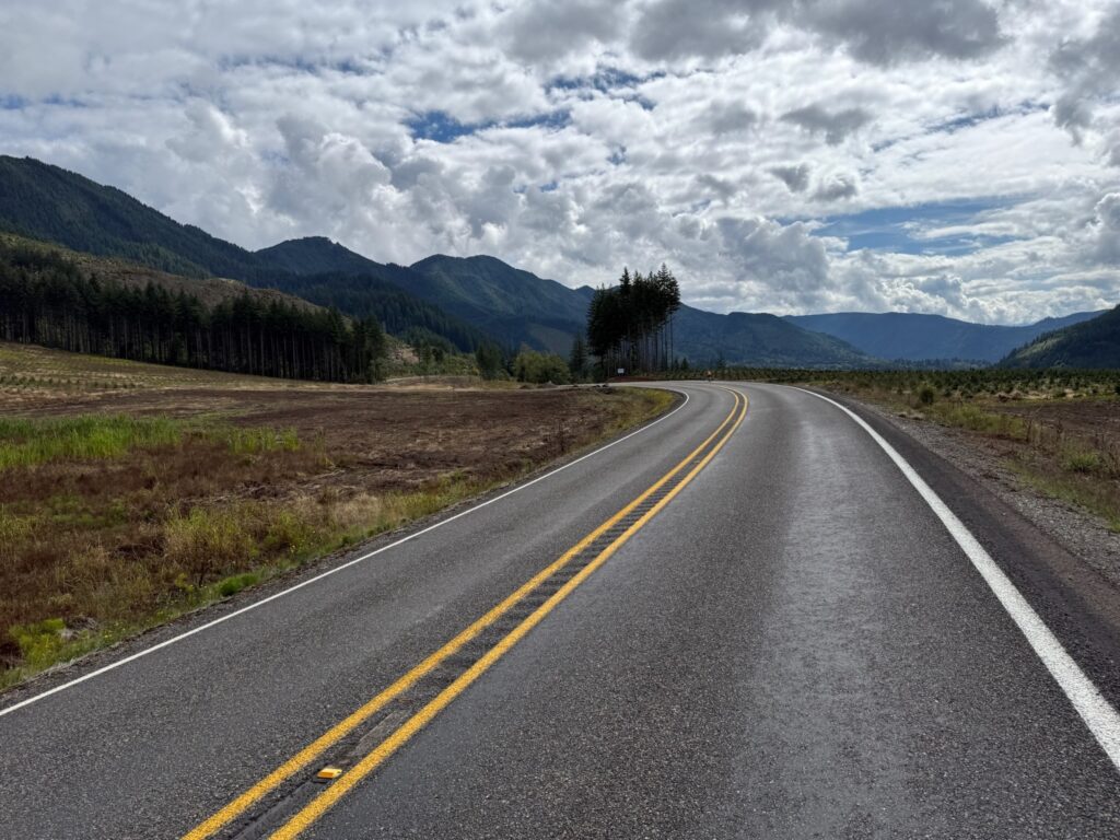
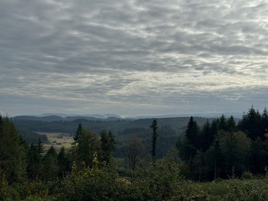
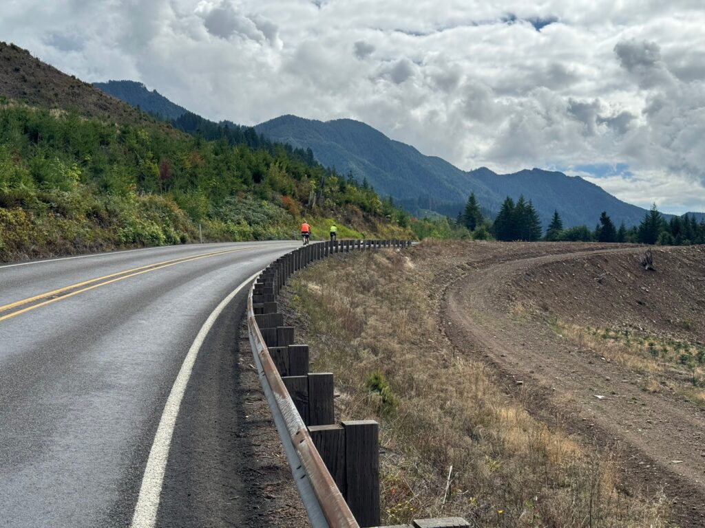



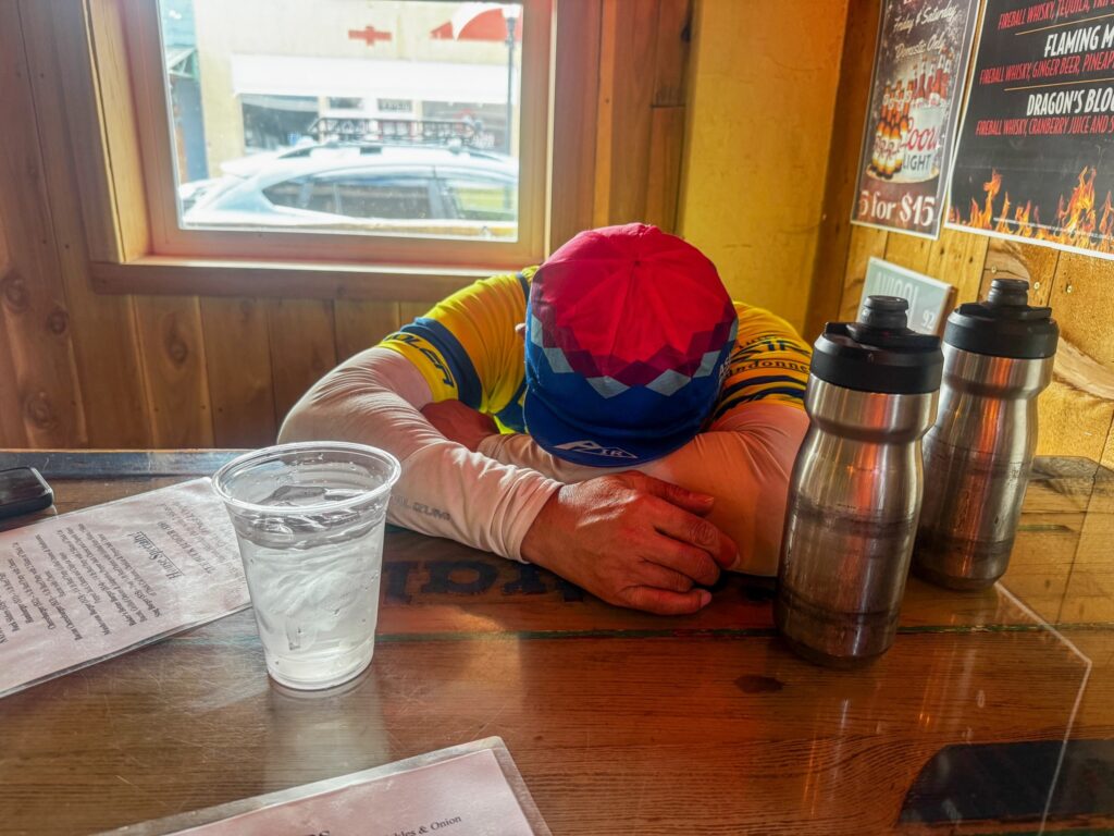
Eatonville at 495 km offers more supply options before you turn onto Orville Rd at 497 km. This section is lovely, passing through forest with glimpses of Ohop Lake. It also has a narrow to nonexistent shoulder and can be busy with surprisingly impatient drivers on a Sunday. Same for Orville Rd E, which you turn onto at Kapowsin, at km 511.7 (where there’s also a convenience store with a portable toilet). At 526.6 km you turn onto WA-162, another highway with fast traffic and a narrow shoulder, but you turn off onto the Foothills trail in just a couple of kilometers; you can see the trail to your left for about .75 km before you make the turn. The trail ride is cut short by a bridge closure; you’ll get back on the highway at 537.2, where there is also a convenience store. There is a little better shoulder here for your climb to a plateau. In Buckley, at km 544.8 look for the trail again to your right, just before the intersection with WA-410. You’ll ride the beautiful Foothills Trail bridge over the White River, then take a left on Mud Mountain Rd and cross WA-410. There should be no traffic, because this stretch of highway is closed due to a—you guessed it—bridge closure. In Enumclaw, you’ll pass a 7-11 (24 hrs) at 551.5 km—perhaps your last services, unless you reach Black Diamond before 8 p.m. Then jostle through town on bumpy streets that lead right into farmlands.
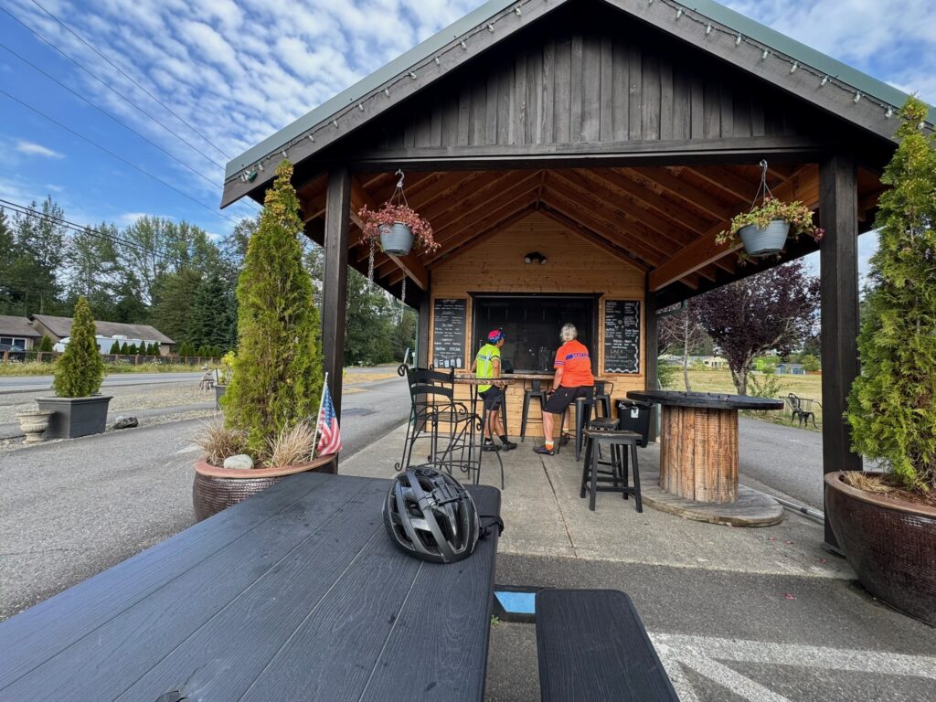
The route passes through more rural scenery, then on to Franklin, a tiny town where you’ll ride over the Green River gorge, spectacular if you still have daylight. Climb out of the gorge and head into Black Diamond and your last opportunity for a bite, at the Black Diamond Bakery (open till 8 p.m.), about a block off-route at 575.8 km. From here on, it’s smooth riding, nice roads with good shoulders. There’s a control at 586.8 km, where you make a turn that’s hard to see in the dark. You’ll see a RR crossing sign; the turn is just before that sign. (Do not cross the tracks.) Heading into Auburn on SE Auburn-Black Diamond Rd, at km 598.9, you’ll encounter a notorious set of railroad tracks at a bad angle. Take care here; stopping is not out of the question, as you have to cross into the left lane if you want a perpendicular approach. After 4 km through town, you are finished.
