You will encounter “Bike Detour” signs at several locations on the route. Ignore all of them. They appear to be for the questionable benefit of unfortunate cyclists riding on I-90, directing them around the construction zones and back to I-90. Ignore all BIKE DETOUR signs.
The Route
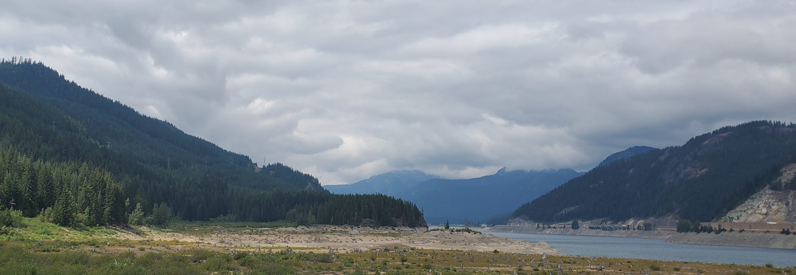
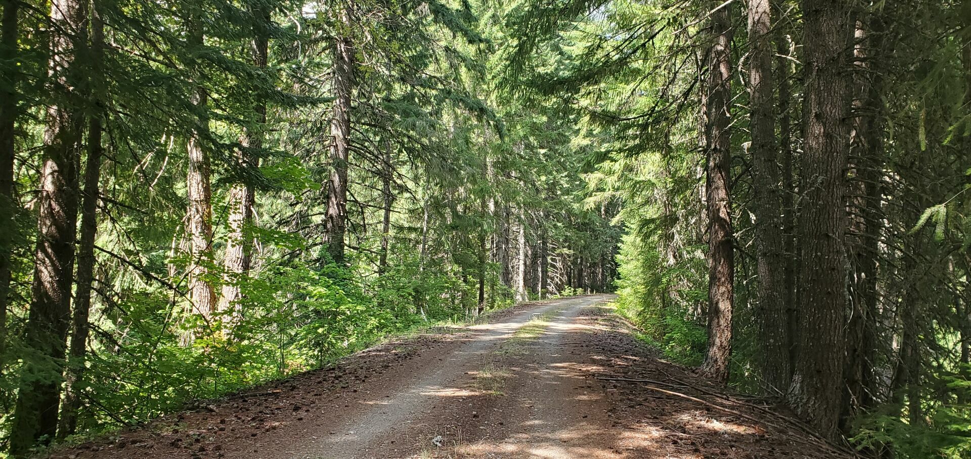
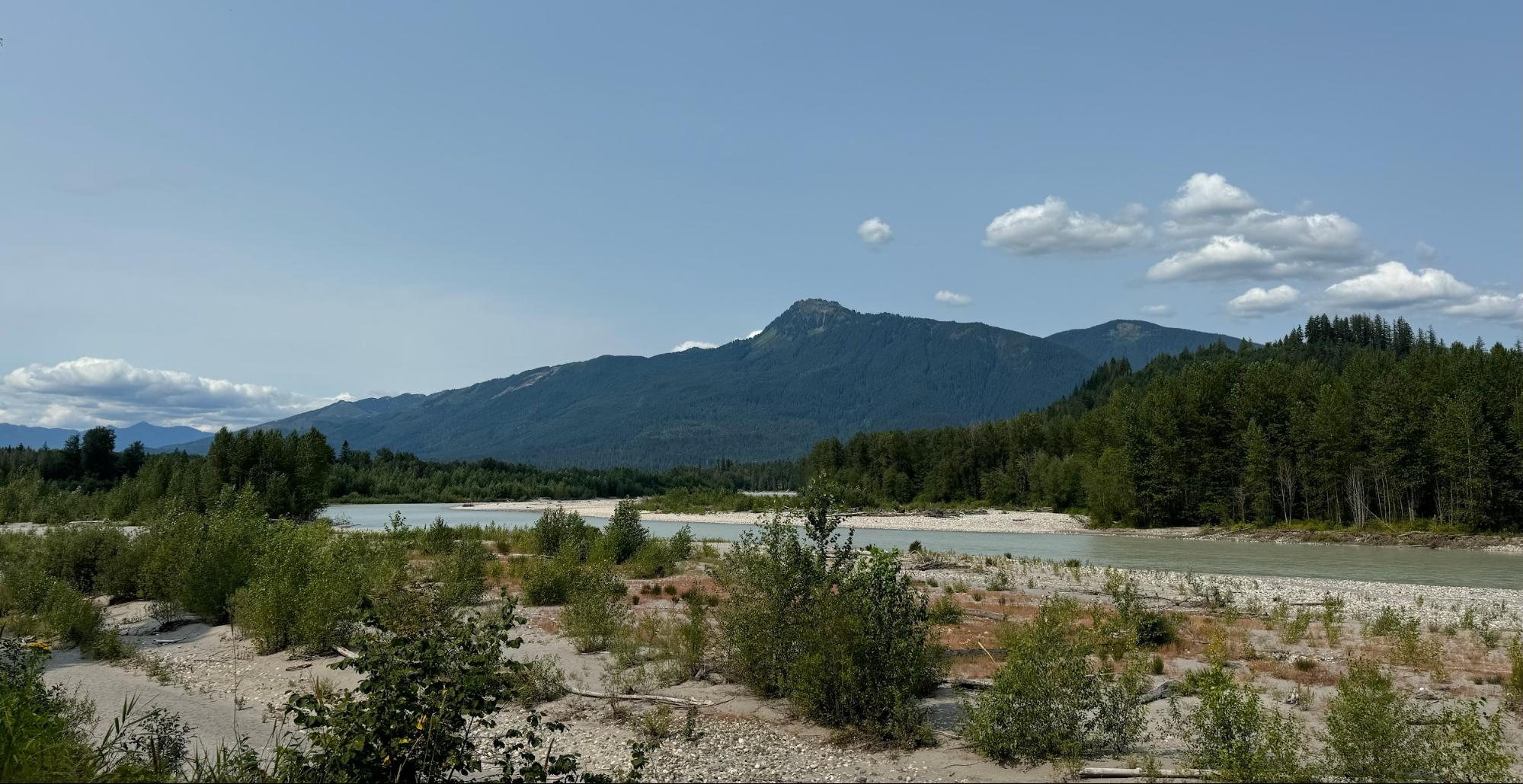
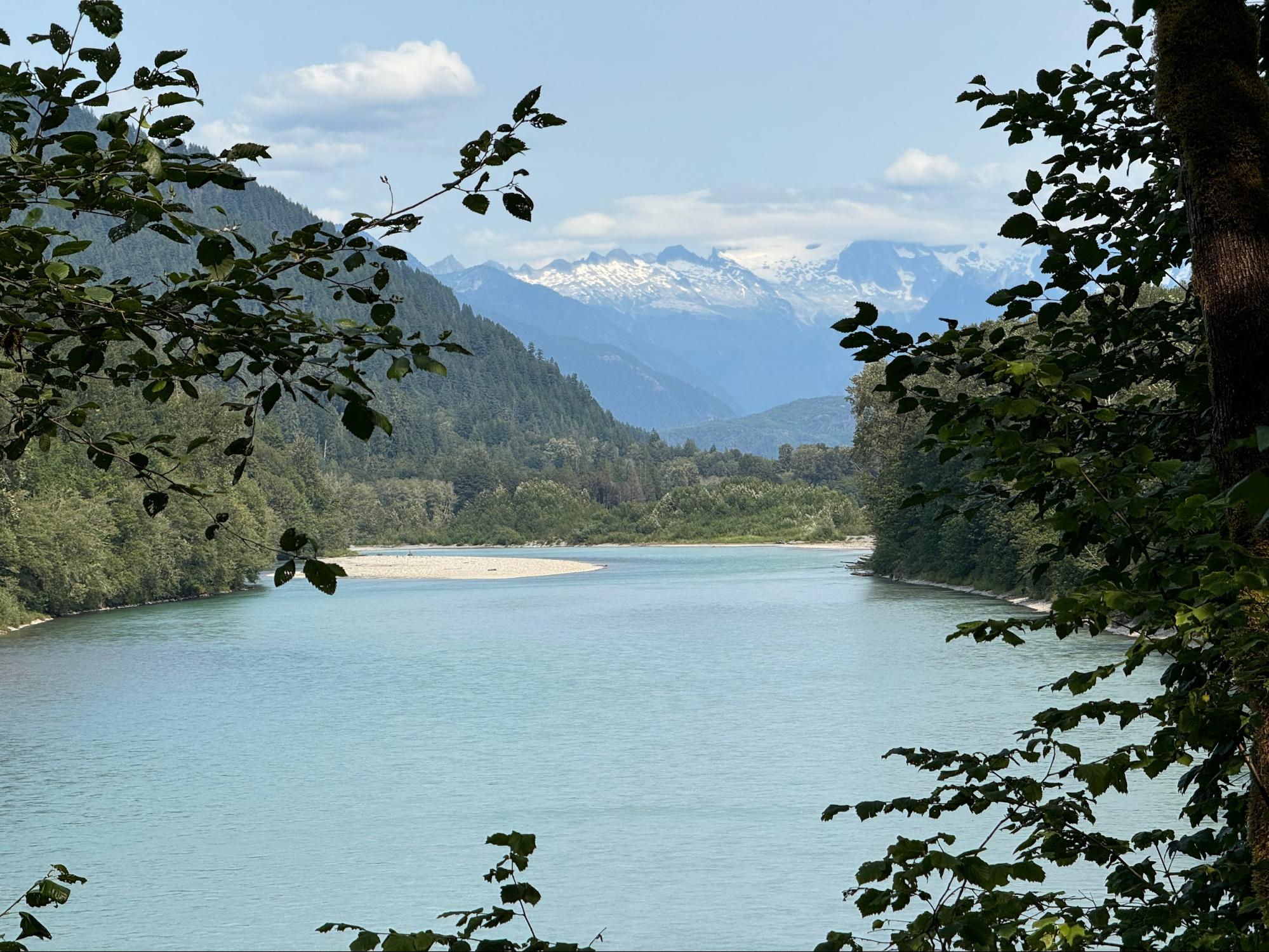
From Pioneer Coffee the route reaches the Palouse to Cascades Trail in about 1.4 miles. From there it follows the trail directly to Hyak almost entirely on gravel. This part of the P2C is more exposed than the trail on the west side of the Snoqualmie Tunnel. Be prepared for sunny conditions.
Do not be dismayed if your speed seems impaired. Gravel is slow, the route climbs almost the entire way at a railroad grade, much of it too shallow for a GPS to detect, and you may be heading into the Snoqualmie Scirocco. (Cliff Maas explains the wind.) Enjoy the often quiet setting, the absence of cars, the open fields, the forests, the river views, and your fellow riders. Carry more water than you think you should need. Keep in mind the gravel time allowance gives you an hour and a half more time than the same distance entirely on pavement. Think about the return trip: How often do our routes finish downhill with a tailwind?
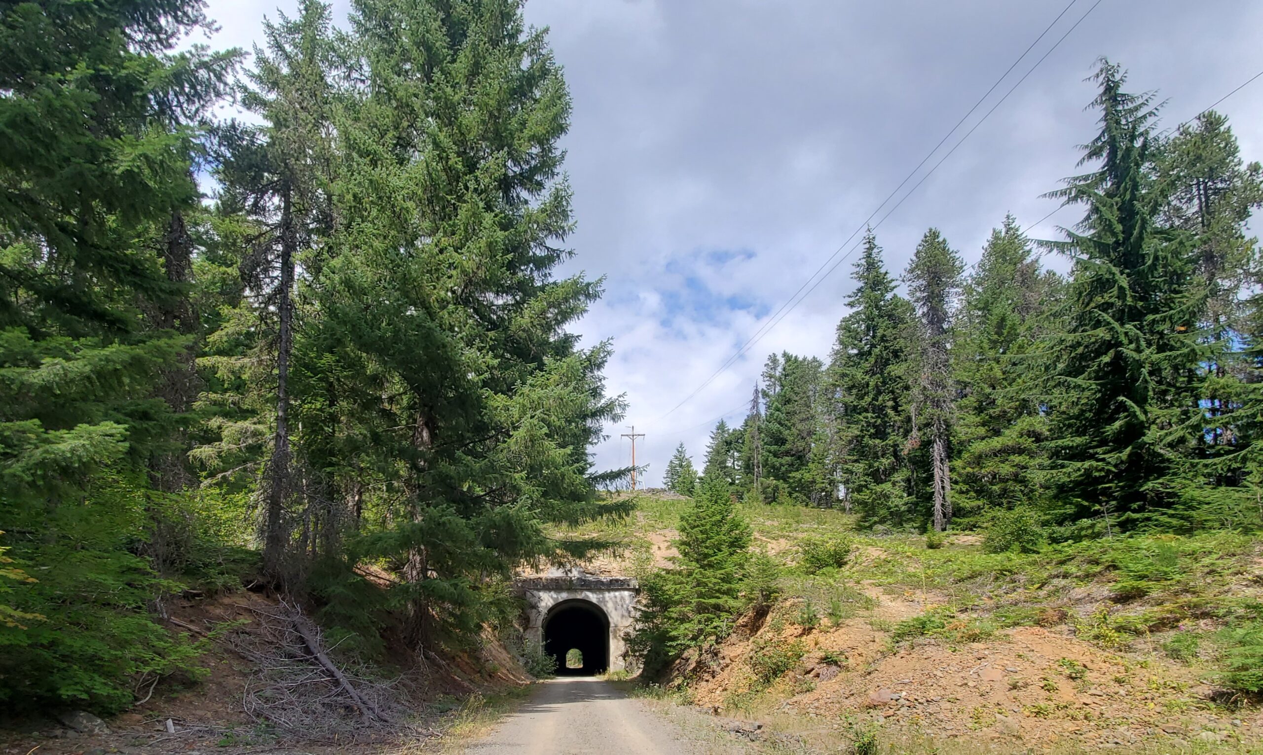
There are two tunnels on the way to Hyak. Both are short enough that lights are not needed. In fact, you will exit them before your eyes can adjust. The surface in the tunnels is rougher than the trail out in the open. There are no serious potholes but be prepared to absorb surprise roller coaster bumps and dips.
At several bridges the bridge deck sits an inch or two above the dirt trail. Be careful at these transitions not to flat or dent a rim.
No services are available on the way to Hyak. There are a few pit toilets at irregular intervals.
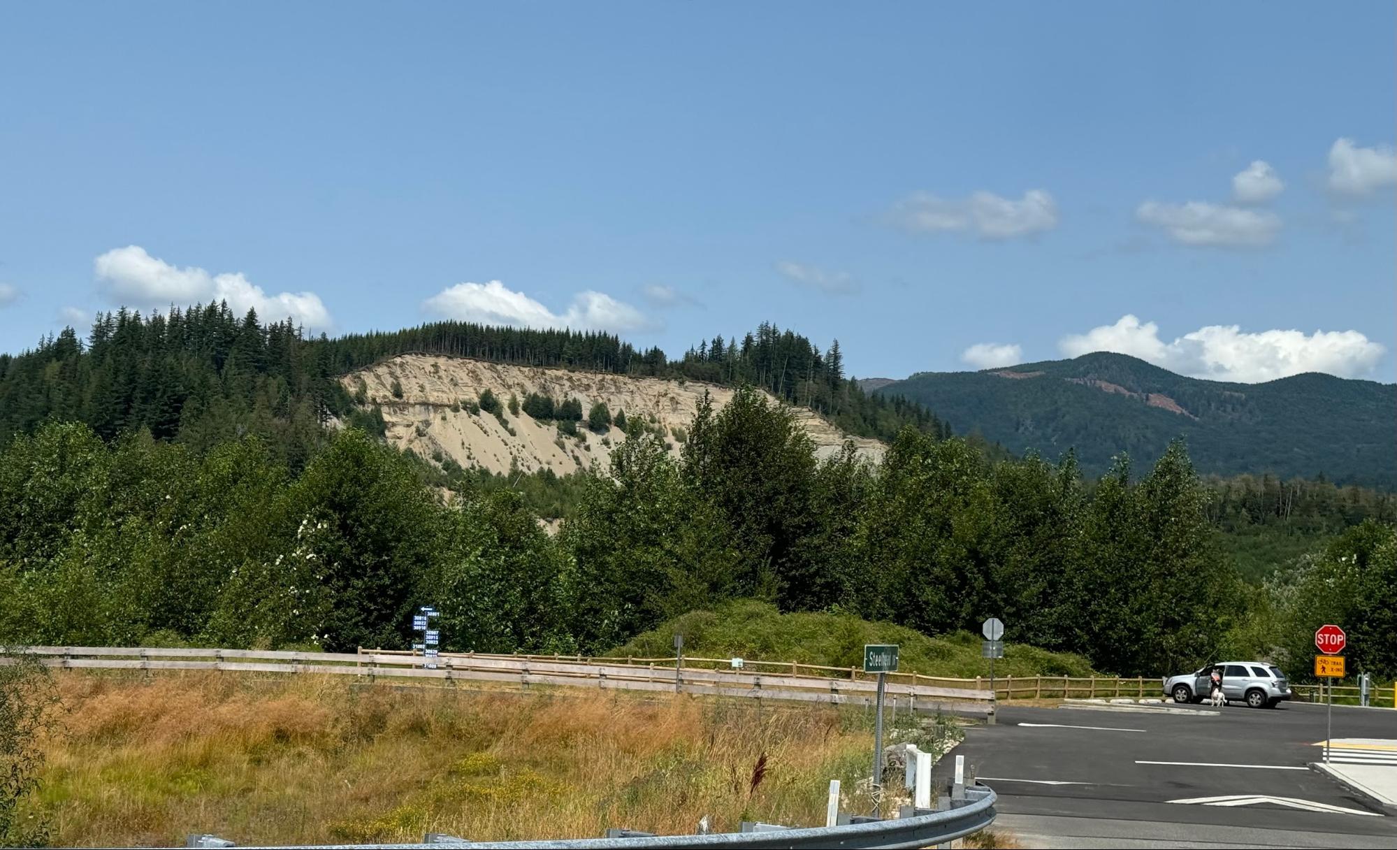
There are numerous gates to go around. They are all well marked with reflective material. One gate in particular, at the site of a double railroad crossing at 12.8 miles, has some loose gravel in the path around the gate.
The first info control is at Hyak. Hyak has nice restrooms and a water station on the north side of the building. From Hyak you head back to Cle Elum.
On the way back the route turns off the P2C into Lake Easton State Park on a pleasant trail through forest. Take it easy as there may be families with small children. At the info control you can enjoy scenic views of the lake. A little farther there is a nice Park restroom and water just off the route, noted in the cues.
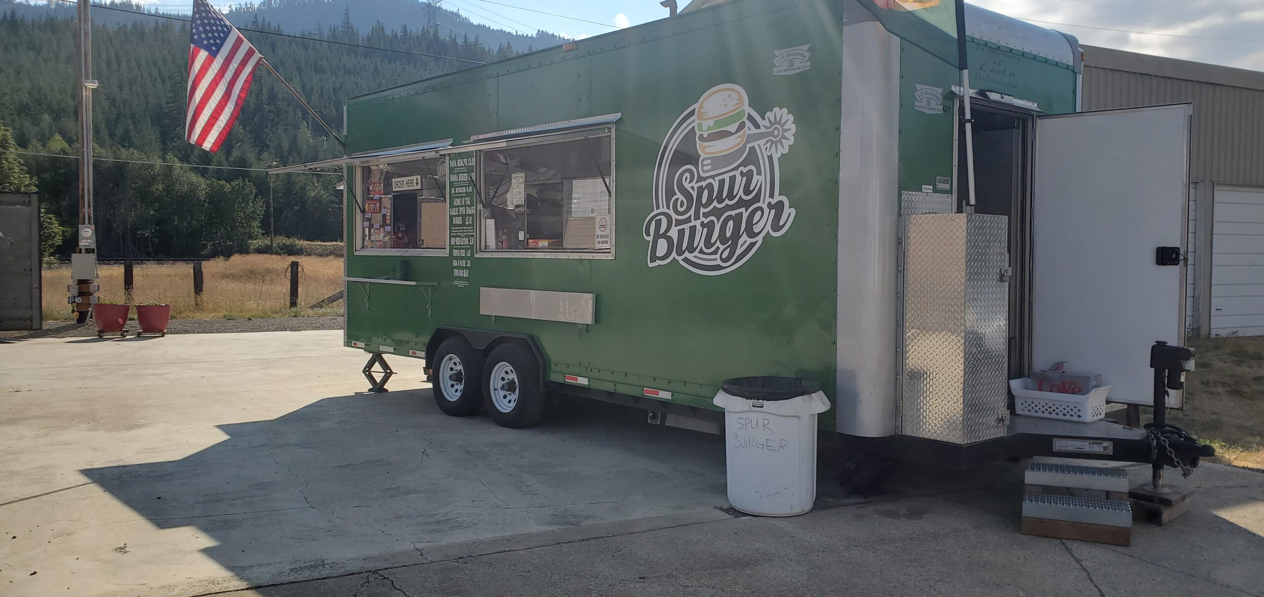
After the Park the route goes through the small town of Easton. You might want to grab a bite at Spur Burger (the only option for resupply that I could see).
Leaving Easton the route rejoins the P2C trail. Now downhill, and possibly with a sprightly tailwind, you should make good time back to Cle Elum. The old Cle Elum train depot heralds the turn off the trail and arrival in Cle Elum.
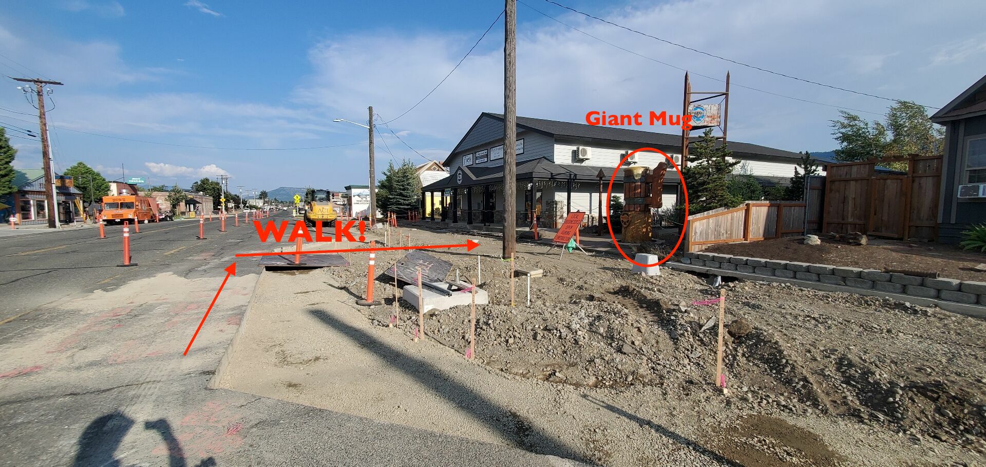
The Finish
The finish at Mule & Elk is in a construction disaster zone. Look for the large wooden beer mug on the right. Walk your bike over the steel plate, or whatever pathway leads across the construction zone that day, and make your way to the brewpub.
Comments Off on 2024 Summer Gravel Populaire Pre-ride Report
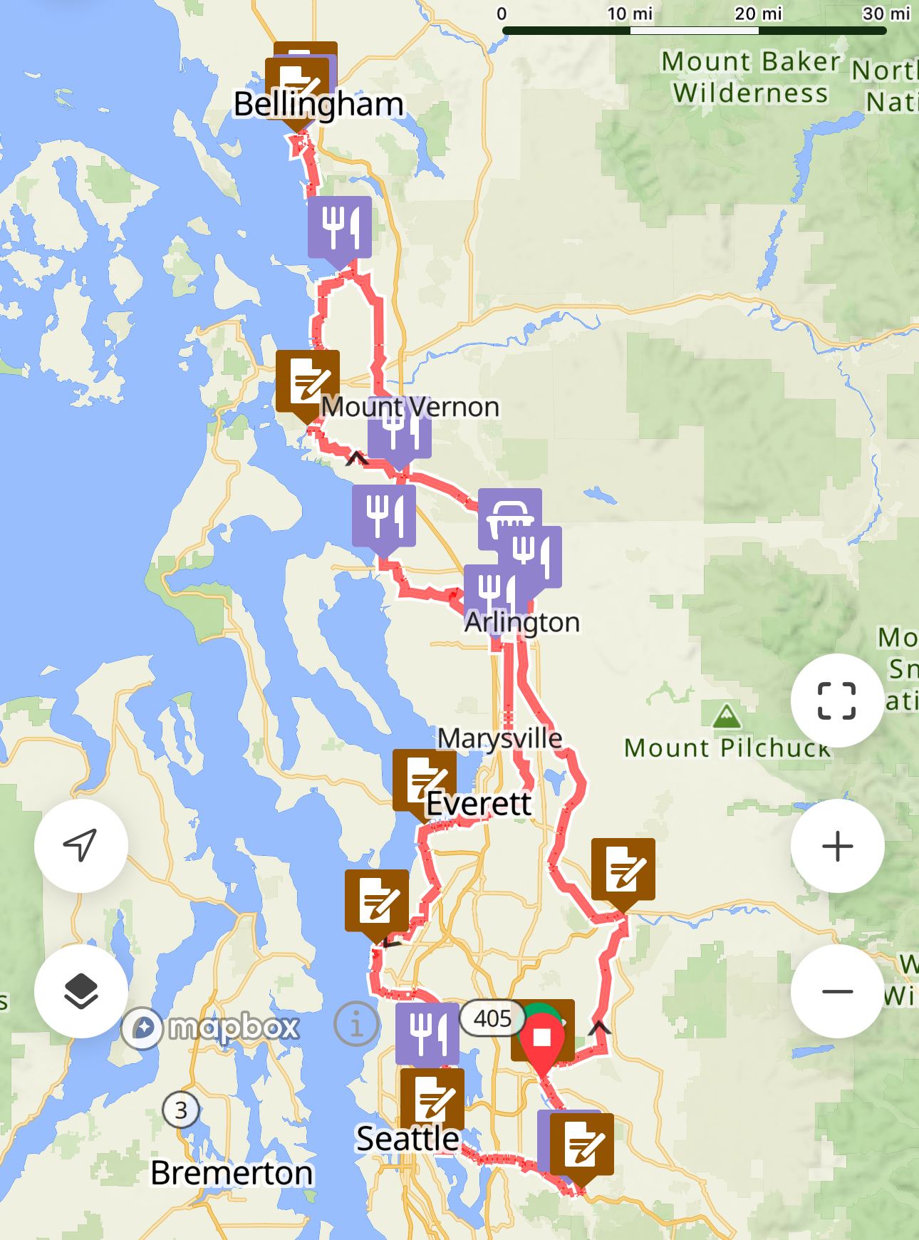
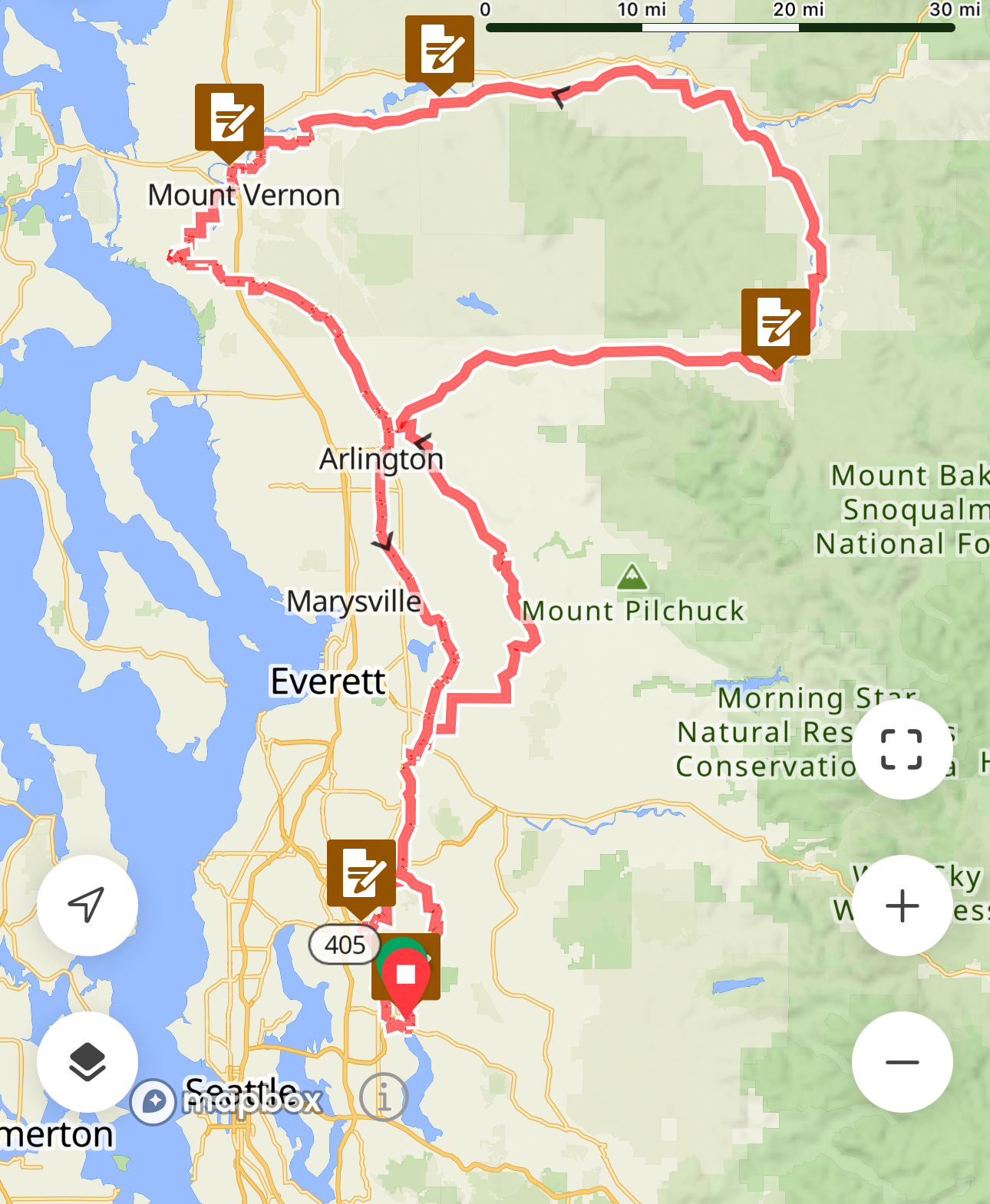
This 1000 kilometer route offers a meandering tour of the north Puget Sound, Cascade foothills, and outskirts of south Puget Sound. The overall elevation profile is low for the distance, but the climbing is concentrated, with a few punchy climbs coming right when legs will likely be feeling tender. Except for a 45 km section between Darrington and Concrete, services should be plentiful along the course at most times of day and evening. As such, this will be a fully self-supported ride, with no volunteer presence along the course except for the check in at the start and the finish control. Proof of passage will be accepted via GPS track.
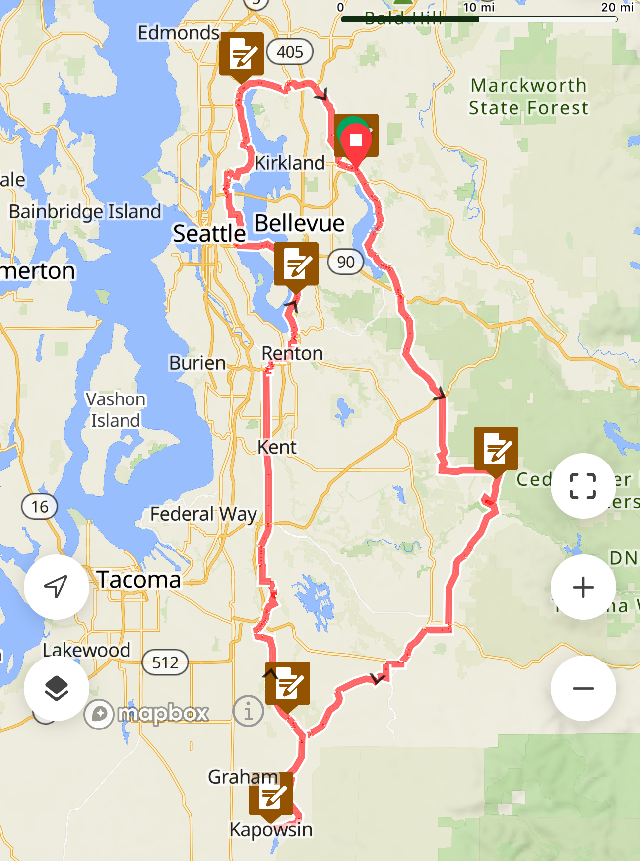
The route was last run in September 2019, with notoriously rainy conditions; riders will hopefully encounter better weather this August 10-13. Each of the course’s three loops starts and ends at the venerable Redmond Inn; other hotel options are available nearby. Riders must make their own arrangements for all accommodations, there will be no staffed control at the Redmond Inn until the finish. Finishers will see this ride count towards the ACP Randonneur 5000 and 10000 awards requiring a 1000 km brevet.
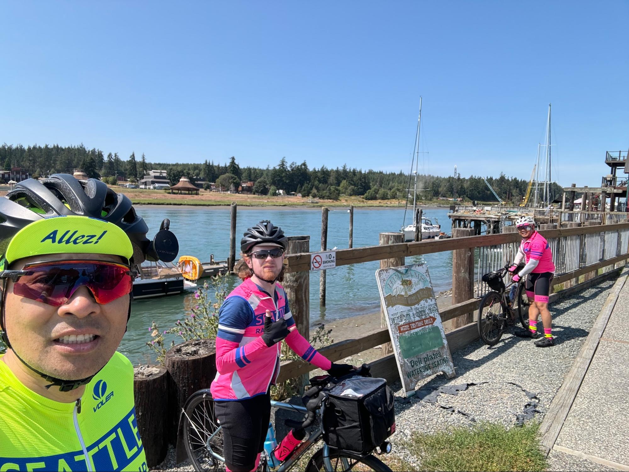
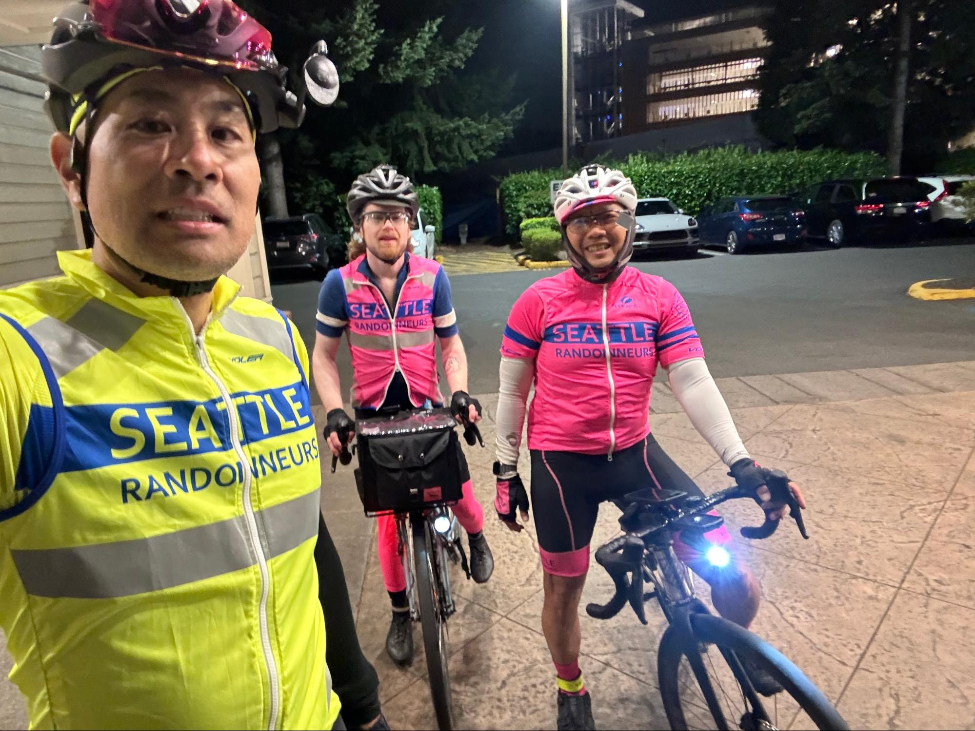
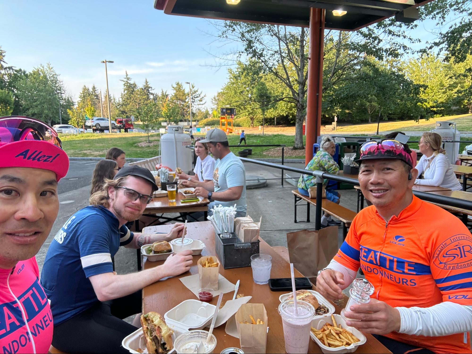
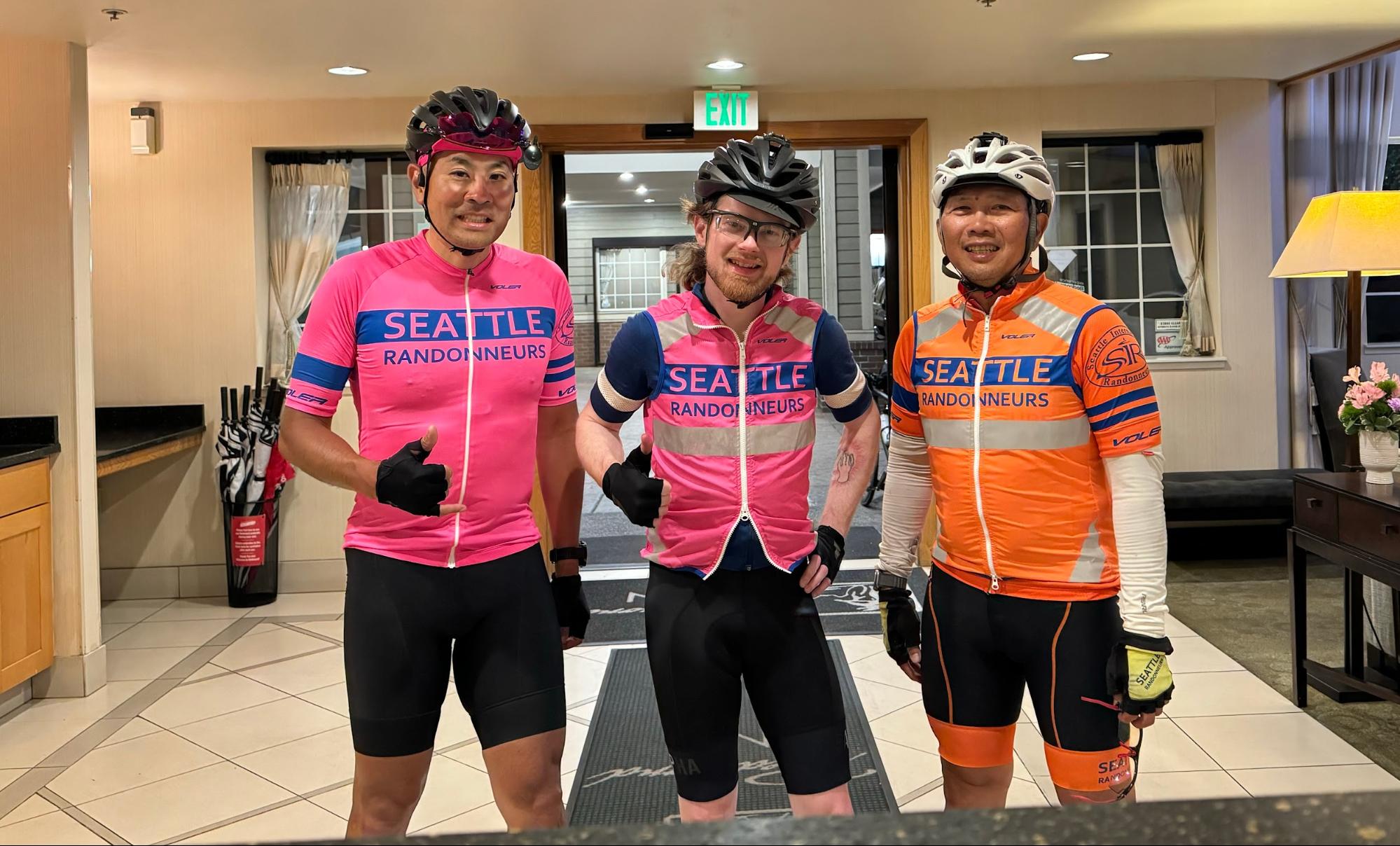
Pre-riders Mitch Ishihara, John Nguyen, and Phil Neff rode the course starting Friday, July 26 in 65 hours 22 minutes; the event will run Saturday August 10 at 4am to Tuesday, August 13 at 7am (75 hour limit). Click here for more info and registration.
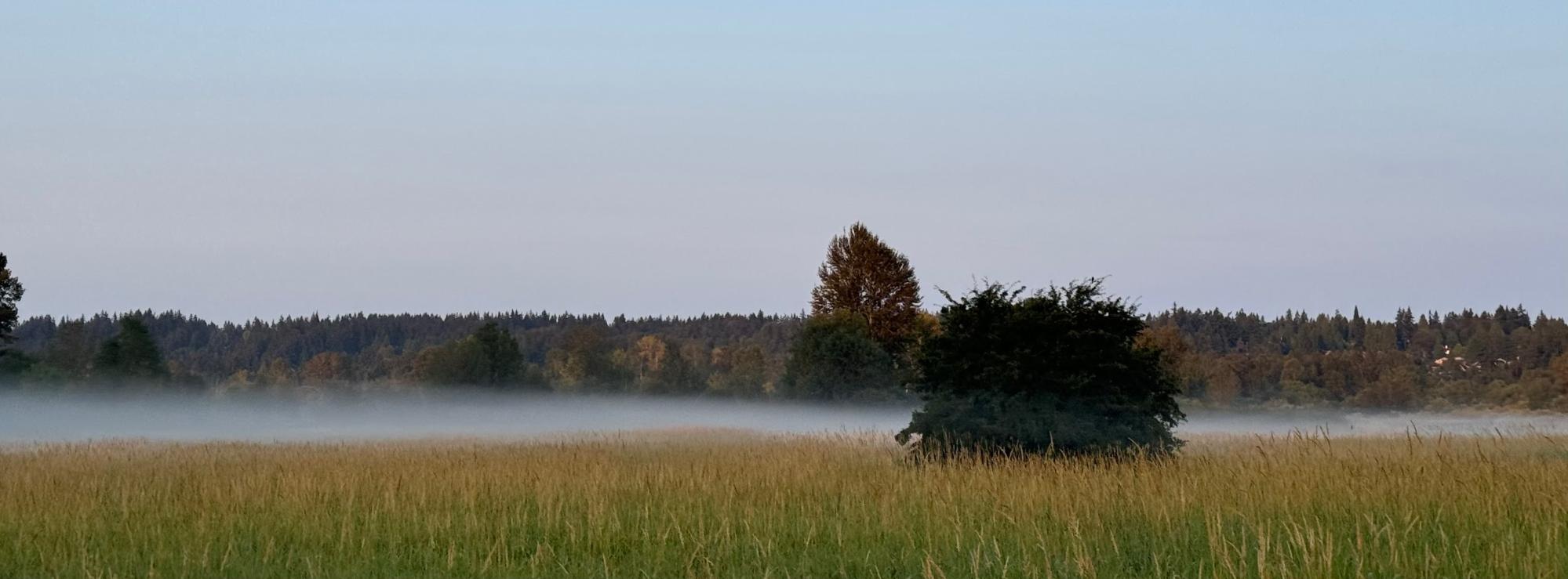
The event starts at 4am to offer the potential of reasonable sleep timings at the end of each day’s loop. Note possible presence of construction around the Redmond Inn including scraped pavement and harsh transitions. After exiting the Redmond Inn, cross Redmond Way directly across the street into what looks like a construction site, but is actually a half-block stretch of light gravel. The immediate climb of Novelty Hill will warm up your legs before you drop into the chilly and foggy Snoqualmie River valley, riding north to Monroe and then Snohomish; traffic here should be light in the early morning.
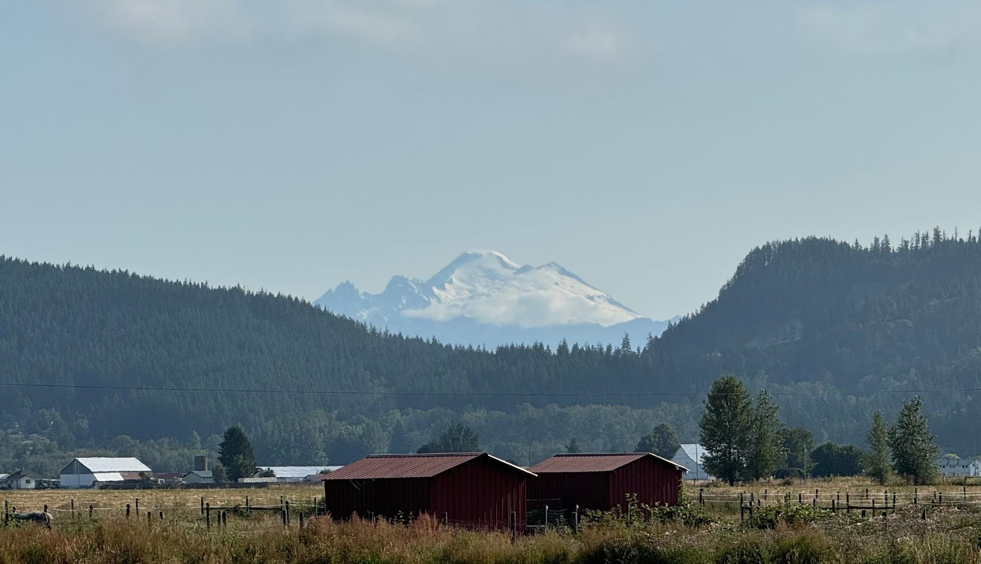
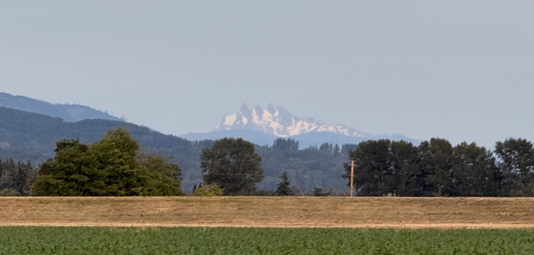
From Snohomish you’ll take the Centennial Trail north all the way to its terminus at the Nakashima Barn. Pre-riders stopped along the way in Arlington for breakfast at Moe’s on Olympic. Exiting the Centennial Trail, take State Routes 9 and 534 towards Conway, turning right on Cedardale Road just before I-5. Watch for views of Mount Baker peeking over the hills to the northeast.
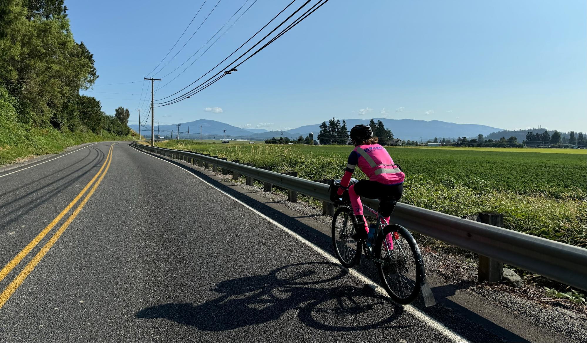
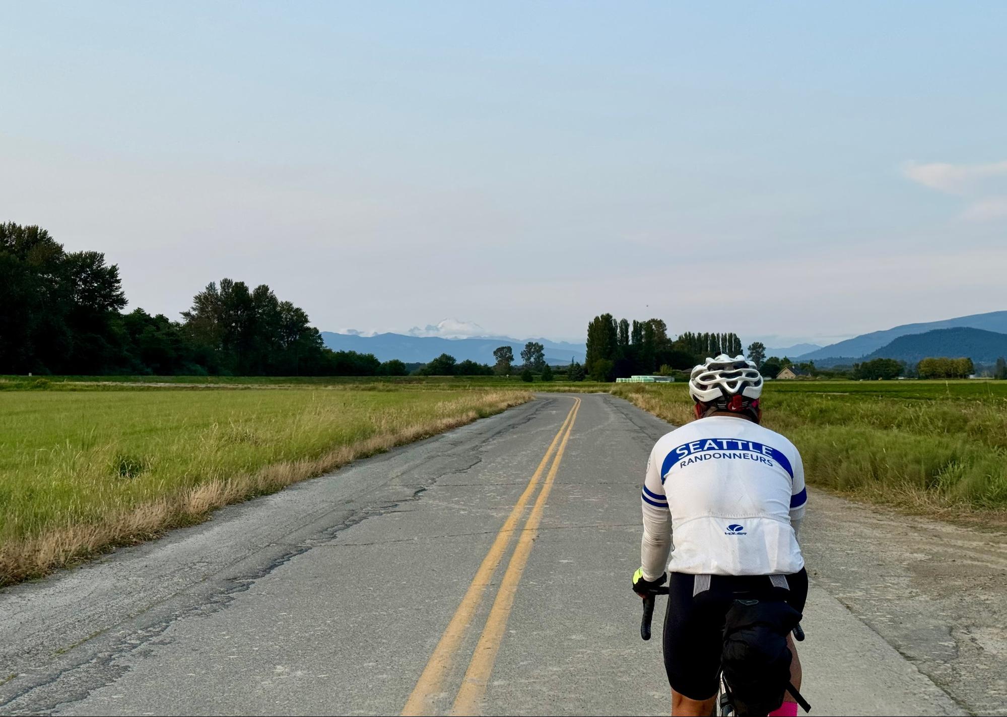
This part of the Skagit Valley is pancake flat farmland all the way north through Bow and Edison, with mellow roads and traffic.
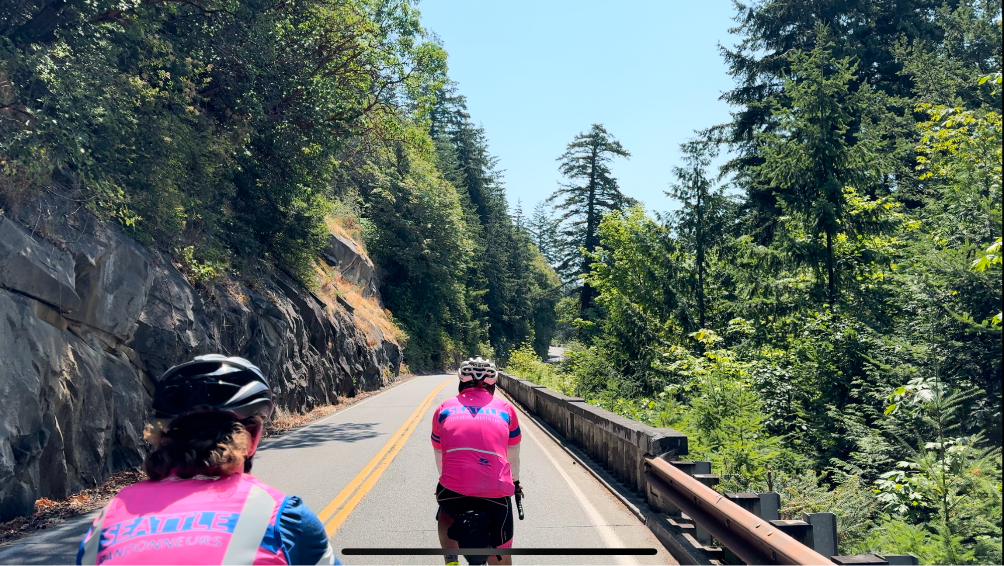
From Edison, Chuckanut Drive offers one of western Washington’s most enjoyable and scenic roads, with rolling hills and sweeping curves hugging the hillside along the Sound. However, the northbound shoulder is narrow, with rough pavement and debris, and Saturday traffic is likely to be heavy. Descend into Bellingham for a quick jaunt through town to the turnaround point at Boulevard Park; services here include the Woods Coffee cafe, restrooms, and water in addition to many other options in town. Watch for an active train crossing at the entrance to the park.
Head back south along the pedestrian boardwalk and through neighborhoods along the bluffs, back to Chuckanut Drive, where southbound conditions should be more comfortable, with wider shoulders and several scenic viewpoints where you can pull out for a photo op or to let cars pass. Watch for car doors and pedestrians at trailheads.
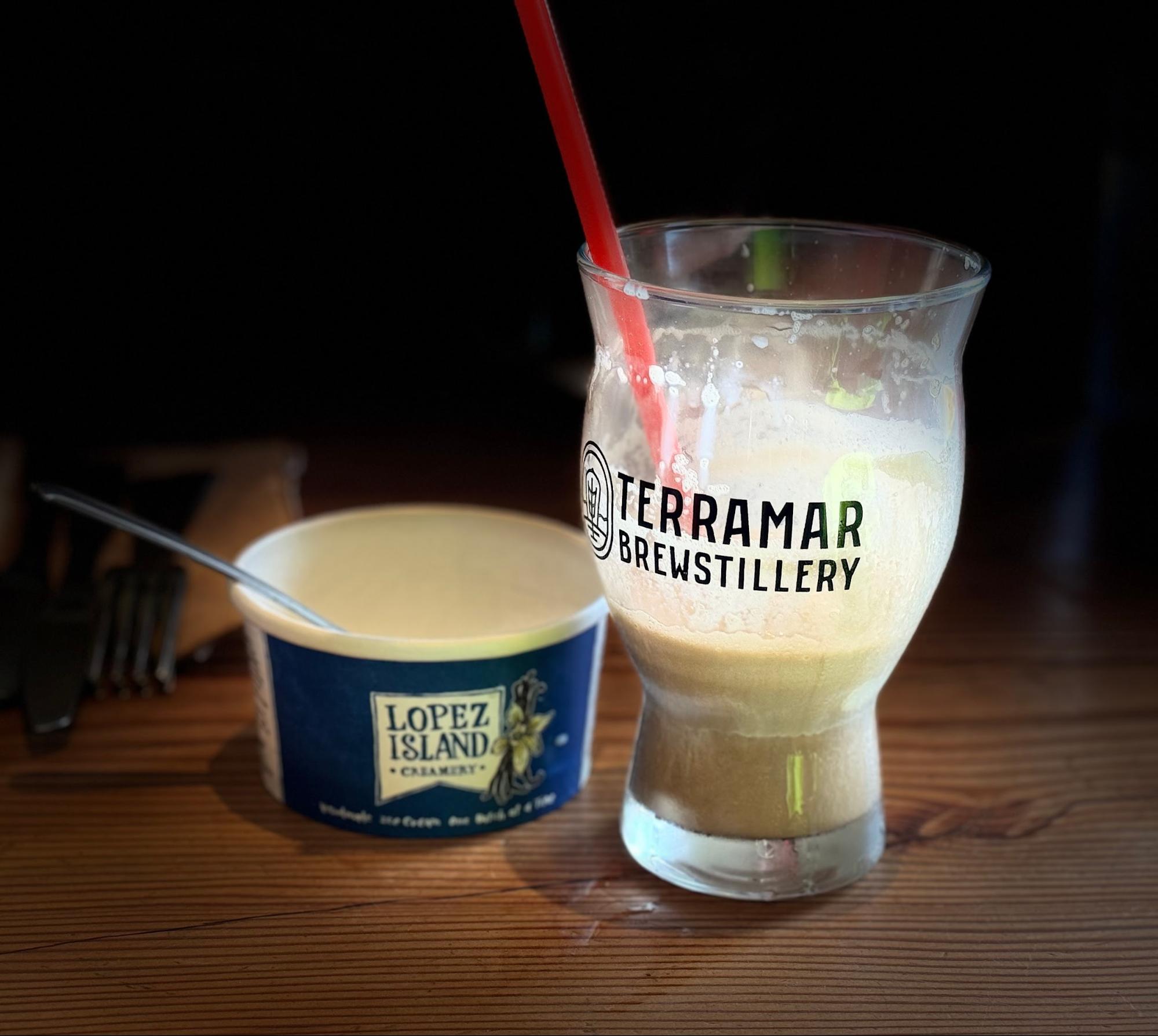
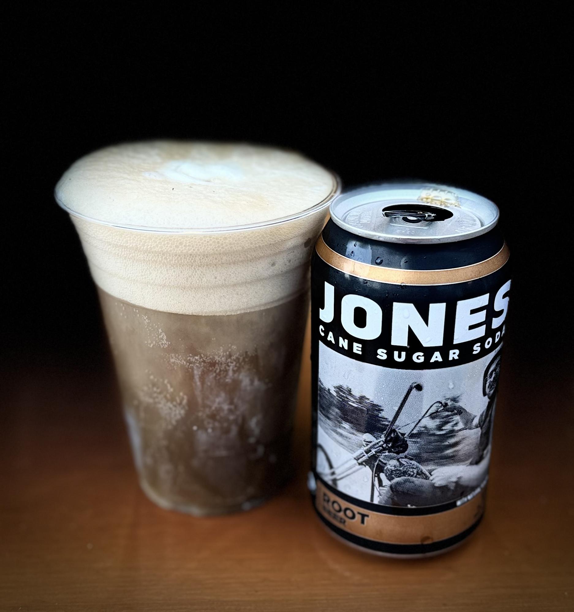
Descend back towards quaint Bow-Edison, with lots of food options; pre-riders enjoyed the reuben pizza and DIY root beer floats at Terramar Brewstillery.
Continue south along the Salish Sea coast towards La Conner; windy conditions are likely here.
At Conway, turn southbound onto the Pioneer Highway paralleling I-5. From here through Marysville, pre-riders encountered heavy end of week rush hour traffic, aggravated drivers, and inhospitable road conditions on rural highways and busy suburban roads. Put your head down and pedal through it; hopefully traffic conditions will be better here on a Saturday.
In case you’re still having fun, the Ebey Slough route into Everett at SR 204 is one of the most hostile and confusing “bike paths” in the state, with a wrong-way entrance on a highway off-ramp and plentiful glass and debris. See this step by step guide for navigating it if you’re unfamiliar or need a refresher. After this the pain continues with punchy climbs through downtown Everett, often with busy intersections mid-climb. The climbing doesn’t let up through Mukilteo, Edmonds, and Shoreline, but some fun descents and amazing views of the evening Puget Sound make up for it. Exercise caution on the Mukilteo Speedway and late night descents including NE Perkins Way.
MukilteoEdmonds
Entering Seattle, head south to Mercer Island via the Burke-Gilman Trail, largely following the familiar Lake Washington Loop route, with a deviation avoiding the Lakeview Park switchbacks. Pre-riders stopped along the way for dinner at Shake Shack in University Village; the Eureka! restaurant here is also open until midnight on Saturdays. Cross the I-90 Bridge and Mercer Island, climb Factoria, and roll north on the Lake Sammamish Trail to the finish. Again, be aware of construction involving minor detours on Mercer Island, some harsh transitions at road crossings on the Lake Sammamish Trail, and rough roads around the Redmond Inn. Get some sleep and prepare to do it all over again.
The route’s second loop starts off with a jog through Marymoor park to the Sammamish River Trail, exiting at Wilmot Gateway Park in Woodinville. Pre-riders opted for an early stop for bagels sandwiches at Woodinville Bagel Bakery before the climb up NE Woodinville Duvall Road, following the familiar route through Maltby and Broadway Avenue to Snohomish. A very short stretch on the Centennial Trail leads to a back roads route to Granite Falls, with multiple punchy climbs in store. Jordan Road out of Granite Falls and into Arlington is rolling and pleasant, if you can ignore the traffic. Pre-riders found themselves rolling at a significantly slower pace through this point of the route, with a slow start after the previous day’s effort.
Jordan Road terminates at Oso Slide Memorial Highway; take the right onto the shoulder and continue for some 40 kilometers of highway riding eastbound into the foothills of the north Cascades.
The shoulder is mostly generous except for a narrow and degraded stretch through the town of Oso itself; just outside of town, note a memorial and the remnants of the deadly 2014 landslide on the hillside to your left.
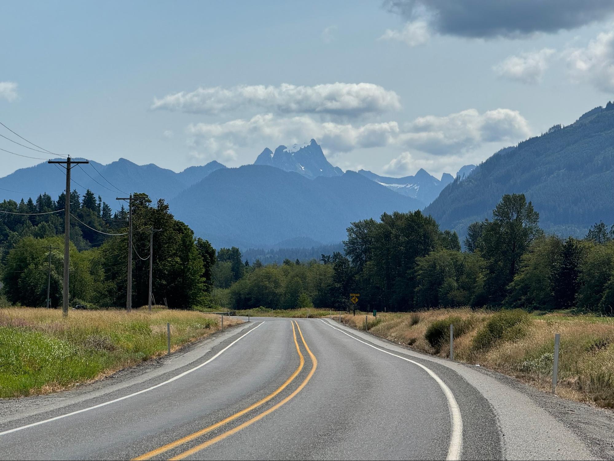
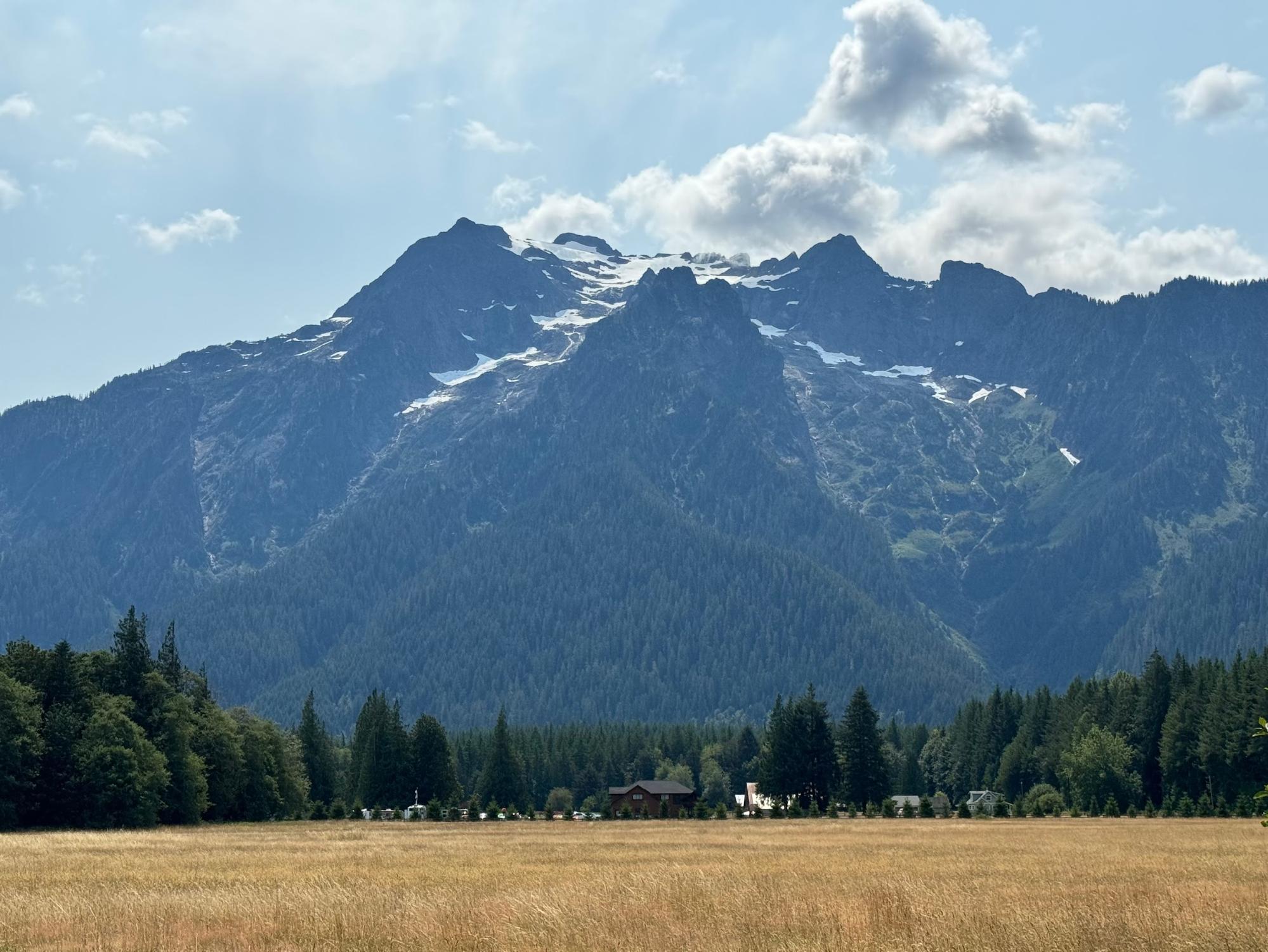
Approaching Darrington, the glaciated peak of Whitehorse Mountain looms to the south.
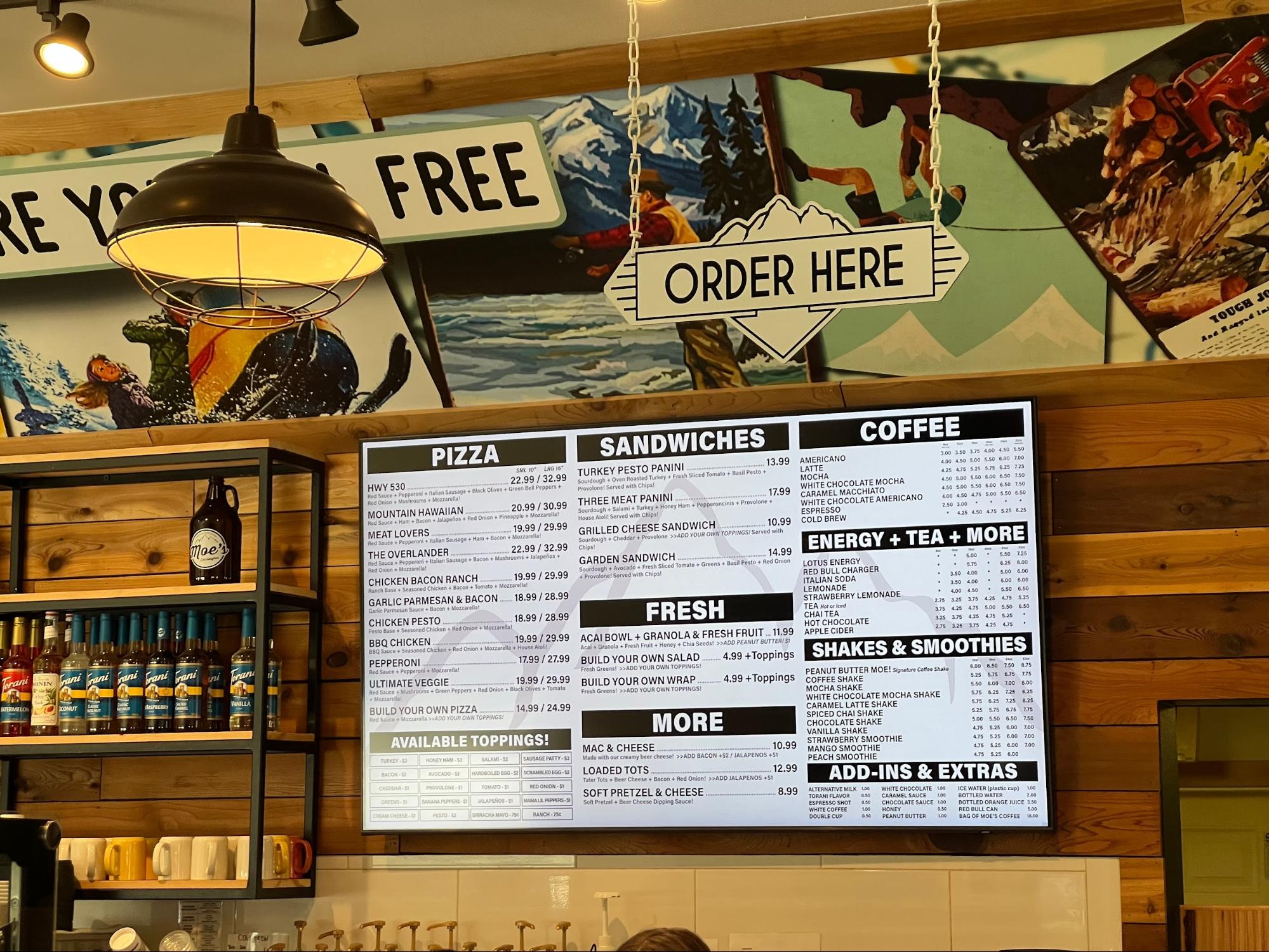
Darrington offers services including stores and restaurants; pre-riders again chose to eat at Moe’s Darrington (lunch service was a bit busy, pre-ordering online is an option both here and at Moe’s on Olympic in Arlington: https://moescoffee.com/). Note that this is the last option for services for at least 45 km until Concrete (a short ride off course); or 80 km to the general store in Clear Lake (on course, no restrooms; other services are available off course in Sedro-Wooley and further on in Mount Vernon).
From Darrington, turn north on Highway 530 and follow the Sauk and Skagit Rivers on a long, slow descent back into the valley via the South Skagit Highway.
The river views on your right, hills on your left, and dappled shade make for very pleasant, but potentially hypnotic riding.
Stay alert, enjoy the shade, and keep pedaling! After about 80 km, pass under and then merge onto the shoulder of Highway 9 for a short stretch. Services are available in Clear Lake as mentioned above. Take Mud Lake road westbound; a series of rural roads leads into the north end of Mount Vernon, with many options for services (pre-riders veered off-course to Safeway for resupply; one suffered a close encounter with a bathroom with no toilet paper).
Take Freeway Drive south along I-5 and cross over the Skagit River, following its North Fork through farmland, crossing the river again at Best Road in a short repeat of a section from yesterday’s route into Conway for the climb back up to Lake McMurray and the Centennial Trail trailhead at Nakashima Barn (note the trailhead gate will be closed after dusk).
Ride the full length of the trail back to Snohomish; be aware of root bumps in the dark. Just off the trail, the 7-Eleven in Arlington is open 24 hours. The route out of Snohomish is the traditional Springhetti to Broadway approach. One final late night roller coaster awaits after Maltby as you climb Paradise Lake Road to reenter Redmond the back way via Avondale Road.
That’s loop two finished. After a tough start to the day, pre-riders found that our pace picked up as the day went along, but we still finished the second day in only an hour less than the first day’s time, despite the shorter course. Rest up and prepare for a relatively easy final stretch..
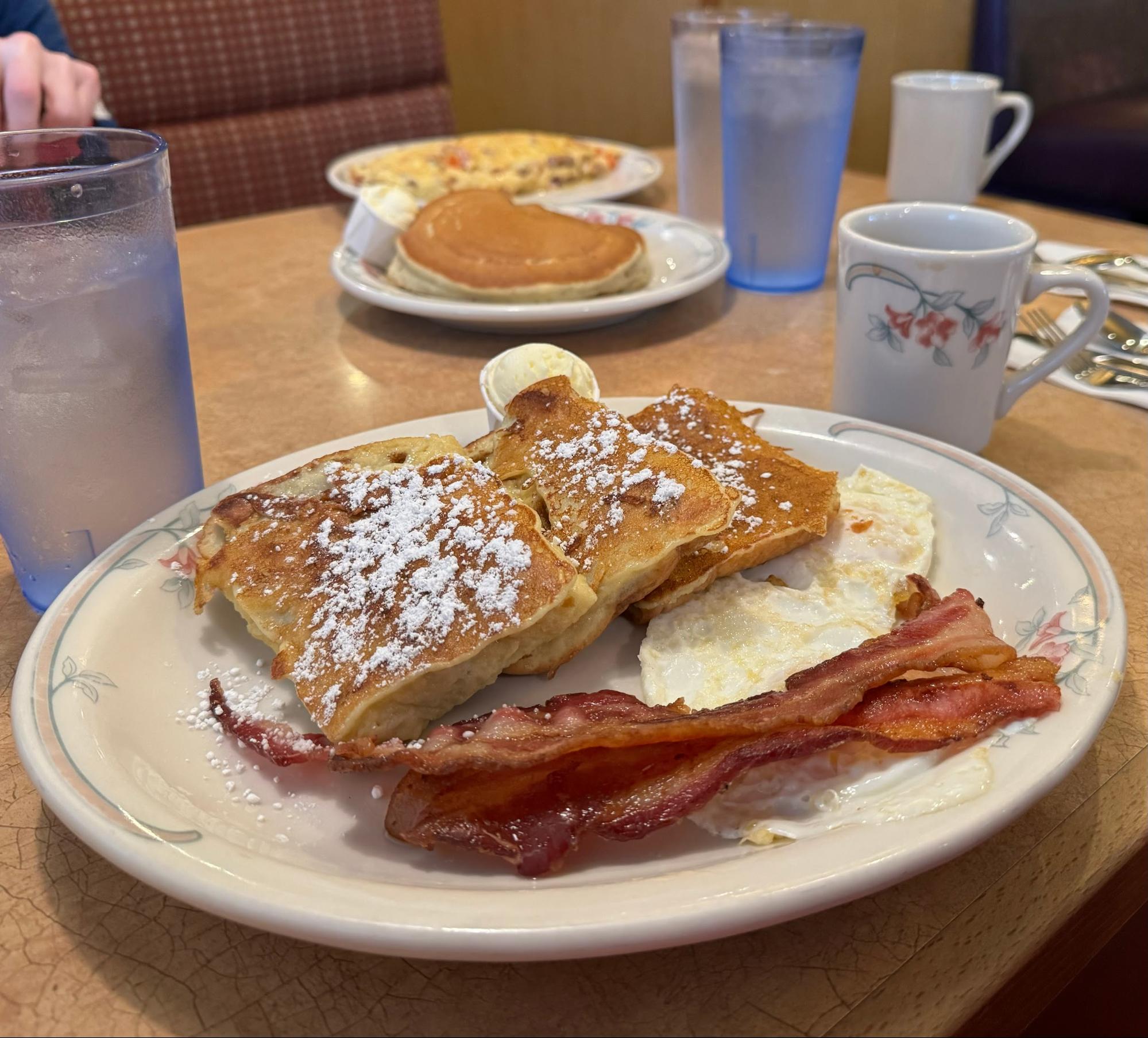
Pre-riders started day three with a hearty breakfast at the Family Pancake House adjacent to the Redmond Inn (opens 6:30 am) before starting out southbound on the Lake Sammamish Trail.
Transition onto NW Gilman Boulevard and take the right onto Front Street, becoming Issaquah-Hobart Road. Climb steadily on the narrow shoulder; Monday morning traffic should largely be in the opposite direction. Ravensdale Market at the junction with Kent Kangley road is a good stop for supplies; continue to Kanaskat Kangley Road SE and make a left turn onto Cumberland Kanaskat Road SE.
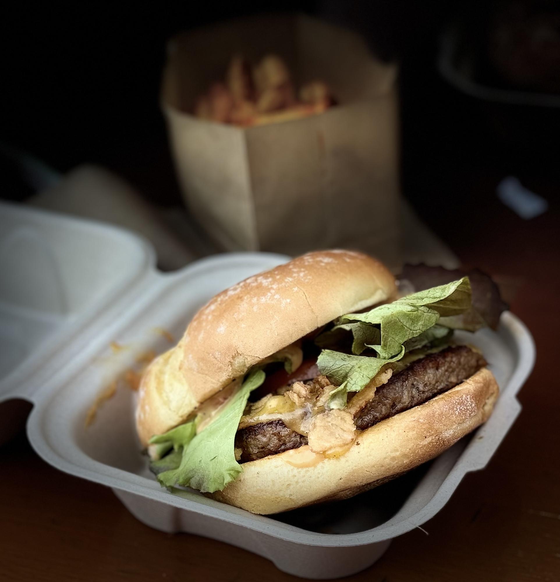
Wind through Palmer towards Enumclaw, with many options for services. In Buckley, join the Foothills Trail briefly at Wally’s Drive-In, a great potential stop for lunch or a shake.
Re-join the road at 112th and turn left onto Mundy Loss Road and then right onto Pioneer Way East, bypassing the washed out bridge on the Foothills Trail. In South Prairie, re-join the Foothills Trail for about 10 km before hopping back onto Pioneer Way across from Patterson Road East; there are a few spots to exit the trail onto the road here. Pioneer Way becomes SR 162.
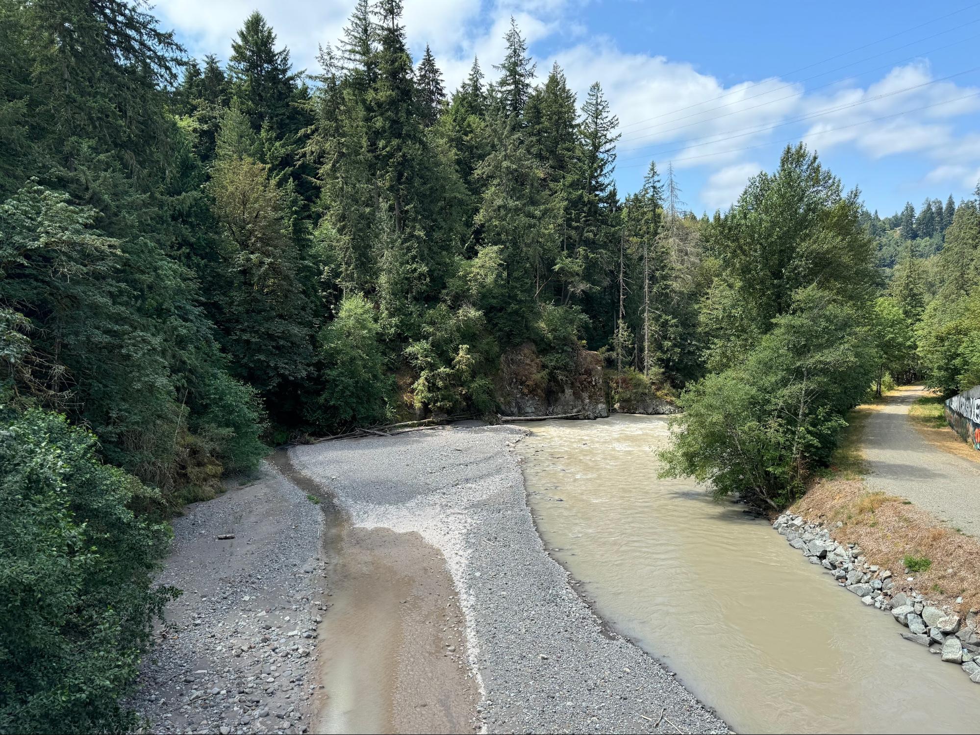
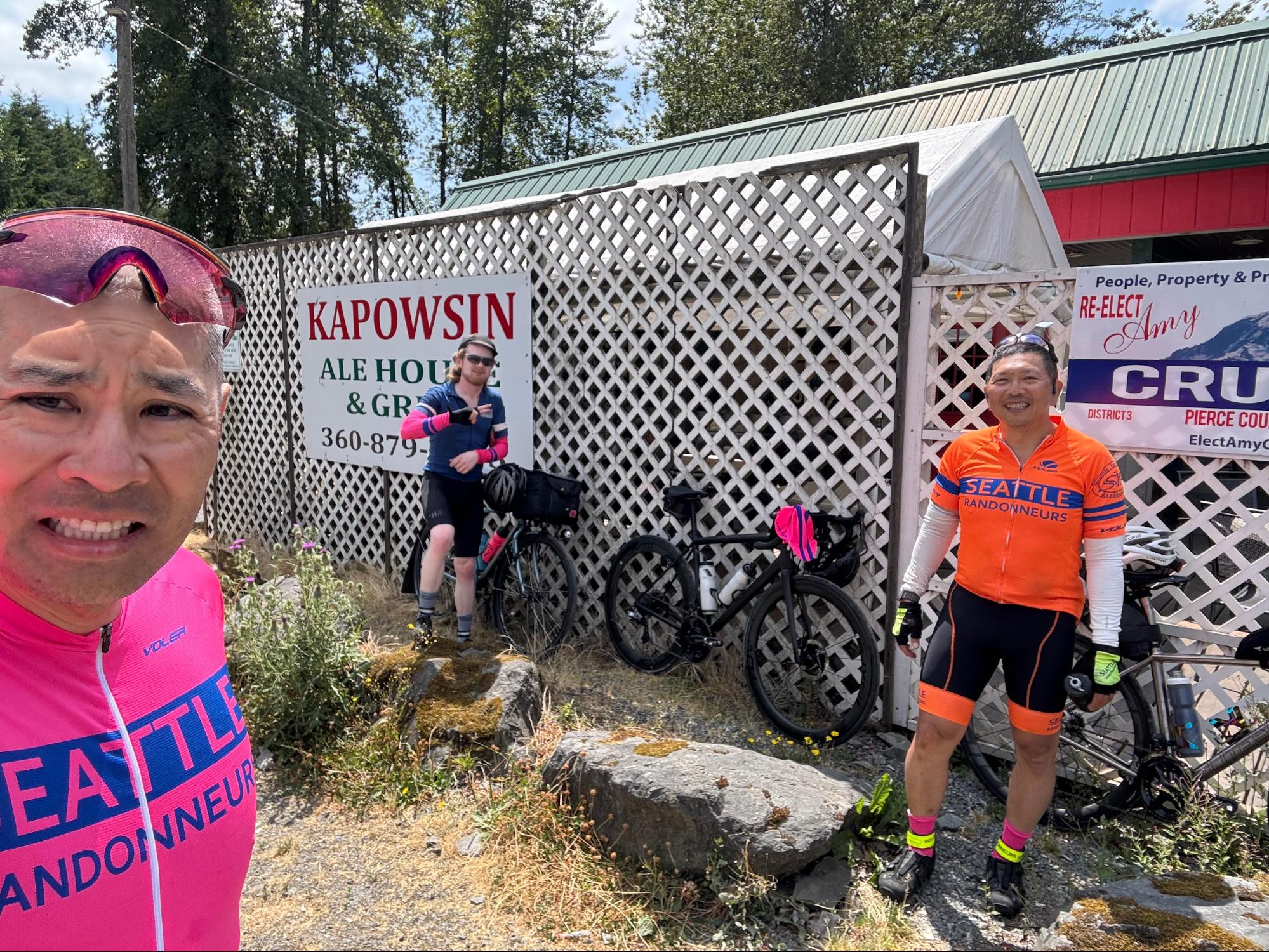
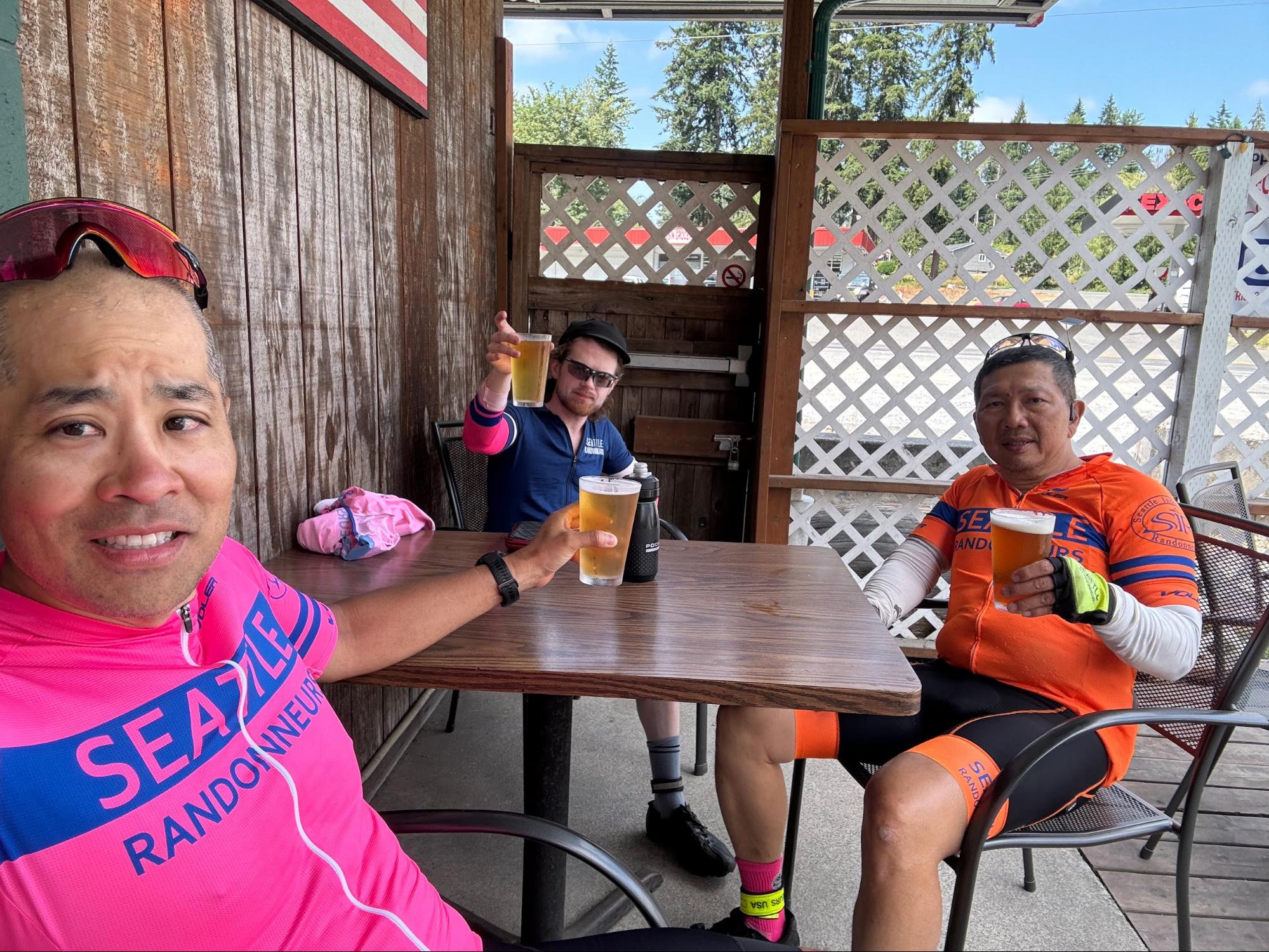
Turn left onto Orville Road East for the gentle 14 km climb up to Kapowsin.
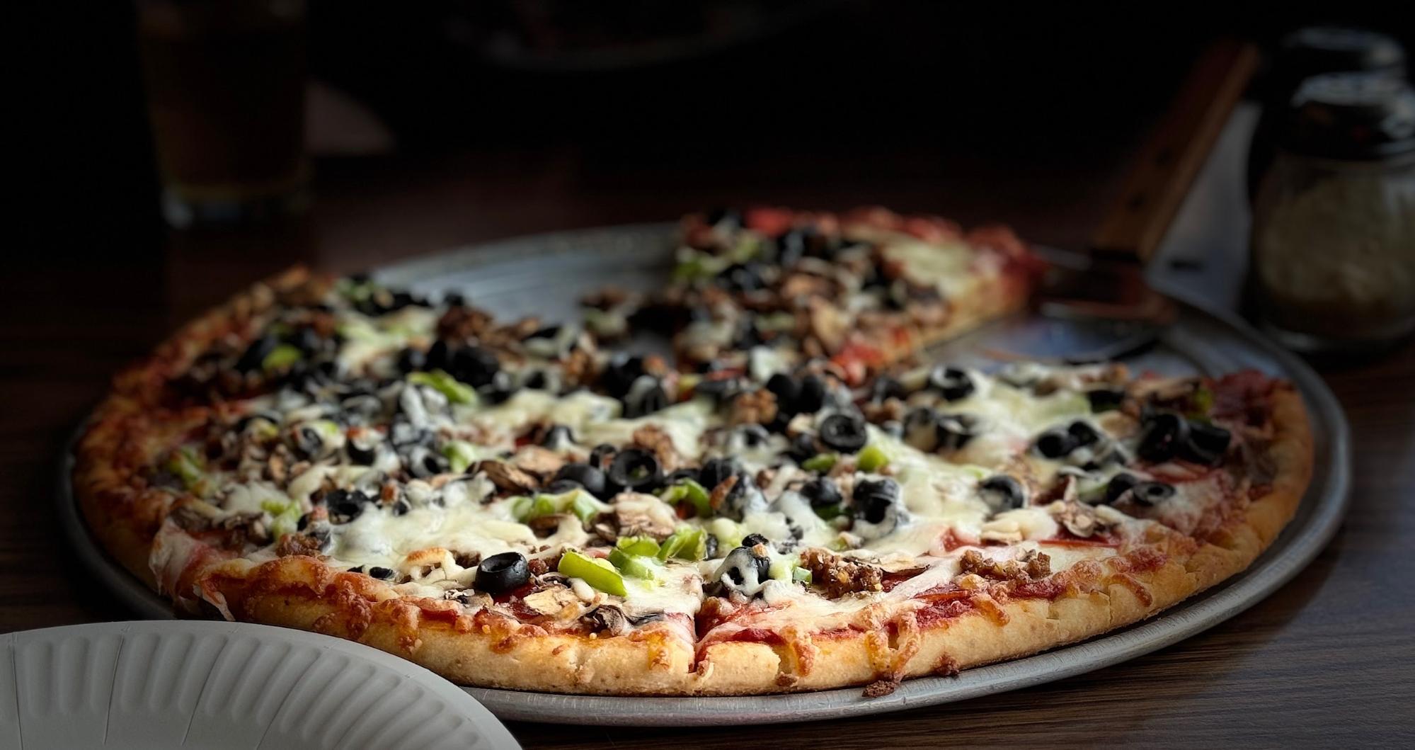
Here you can resupply at Kapowsin Grocery or stop in at Kapowsin Ale House & Grill, a biker joint with excellent tavern pizza.
Turn back the way you came and descend Orville Road East to SR 162, turning left into Orting. Hop back onto the Foothills Trail, which will take you most of the way to Sumner. At Shaw Road, cross over a busy railroad bypass and turn right on East Main, which becomes Traffic Avenue.
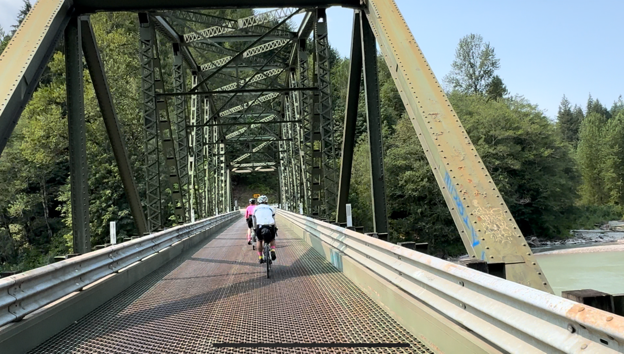
Carefully cross oncoming traffic onto the Sumner Link Trail near 142nd Avenue East. After about 5 km, the trail ends unceremoniously in a section of gravel with some deep patches before crossing the White River on a mixed use pedestrian bridge that dumps you into a grungy commercial park at 16th Avenue E. Continue straight for a few blocks, crossing railroad tracks, then turn onto Valentine Avenue SE and Milwaukee Boulevard S through Pacific and Algona.
Enter the Interurban Trail at the Algona Trailhead. The next 19 or so kilometers of the Interurban offer an object lesson in “suspension loss due to rider fatigue” as badly deteriorated, bumpy pavement and railroad crossings test your remaining capacity to avoid obstacles and cushion impacts. Be careful of multiple potentially busy traffic crossings. In Tukwila, exit the trail at Longacres Way and continue through the abandoned racing track parking lot and commercial parks into Renton.
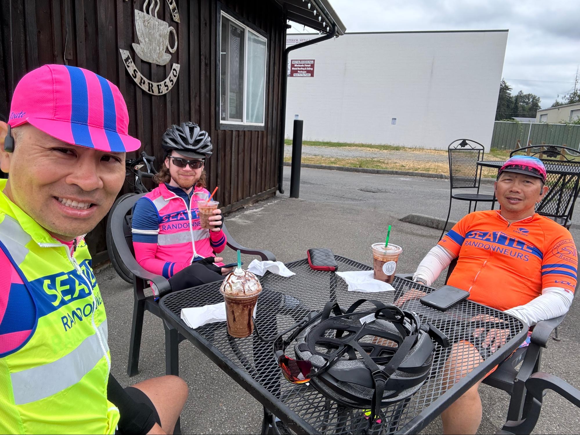
Wind through downtown Renton towards Lake Washington Boulevard East. Cross left onto the Eastrail mixed use path just after the Seahawks Practice Field/Virginia Mason Athletic Center; after about 5 km, exit the trail right onto the Lake Washington Trail, and then join 118th Ave SE, being careful of oncoming and following traffic. At I-90, cross left onto the I-90 Trail and continue to Mercer Island. Construction obstructs the I-90 Trail at various points on Mercer Island, follow detour signs to North Mercer Way, rejoining the trail to cross the I-90 Bridge. Pre-riders stopped on Mercer Island at Hap’s Burgers & Taps (open until 8pm Monday) for our last milkshakes of the brevet.
Exit the I-90 Trail just before the East Portal Viewpoint, drop into your low gears for the short, steep climb up to Lake Washington Boulevard South. Continue north as the road winds down towards Leschi, watching for bumpy pavement and possible oncoming traffic at the intersection with S Frink Place/S Jackson Street.
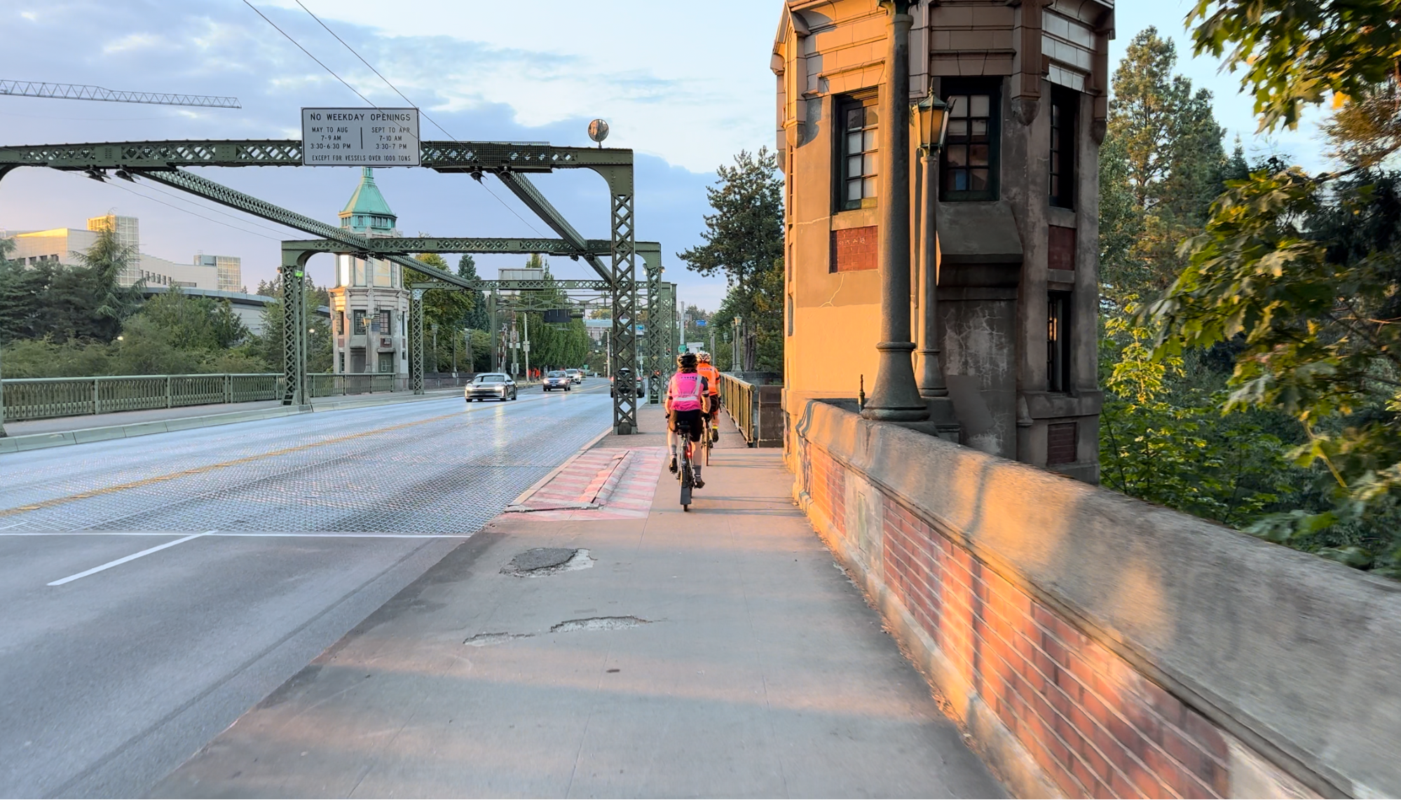
Follow the clockwise Lake Washington Loop north on Lake Washington Boulevard, turning left to climb Madrona Drive to Madrona Place East; from here, you’re repeating the first night’s route in reverse as you skirt the Arboretum on side streets and join the Burke-Gilman Trail northbound across the Montlake Cut (be aware of potential construction impacts in Montlake).
From here, all that’s left is to push through the BGT and Sammamish River Trail to Marymoor Park and a 1000K finish. Chapeau!