Photos and text by Shan Perera
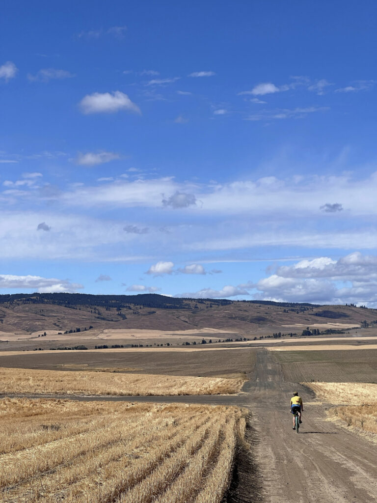
SIR’s third gravel event this year brings another course designed by Don “shiggy” Person – who has arguably mapped more Douglas County backroads than anyone for over a decade. Those who rode his first one in June will find an all-new route that is a bit shorter (100km vs 134km), with slightly less climbing (4300’ vs 5100’), but still chock full of adventure. From Waterville, we’ll work our way to Douglas, then south towards Alstown, traverse the southern plateau, turn north to Supplee, tackle some big rollers heading west in the direction of the Columbia, and finally turn east back to the start. Hwy 2 and the river far down below can be spotted during the last bit.
This 100km (62mi) route is 83% unpaved. You’ll discover hard-packed farm roads, mid to smooth (“champagne”) gravel, loose sand, chunky rocks to “moondust” (deep talcum powder-like fine dirt). The remaining 17% strategically-scattered, paved patches will render your legs a refreshing boost. There’s something for everyone here – an excellent, intermediate ride if you’re “gravel curious”. Nothing extreme or over the top challenging. I rode 40mm tires. shiggy was on 55mm. Recommend minimum 38mm. Slicks are fine.
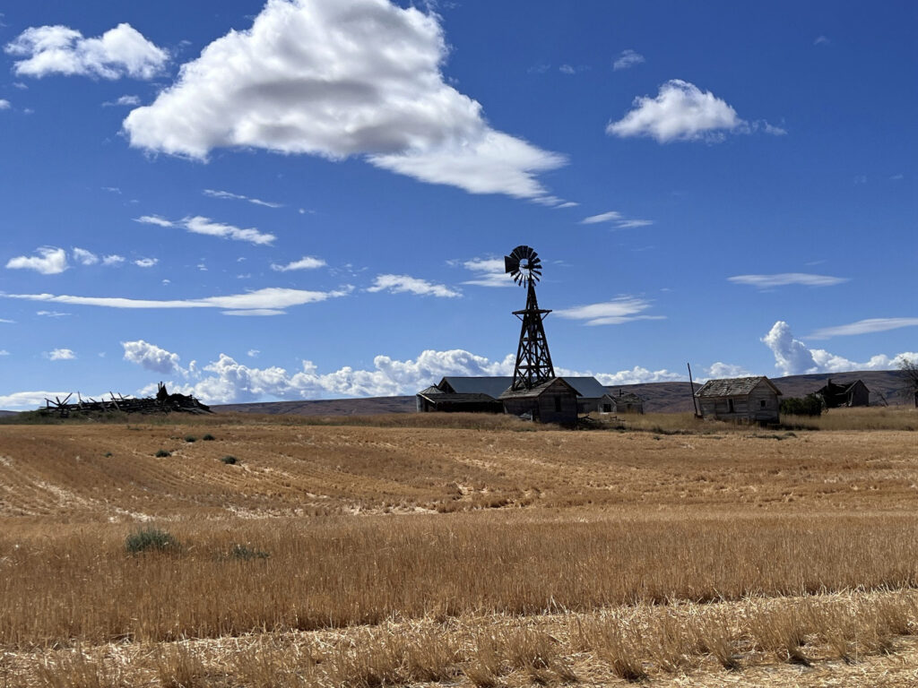
That said, you’ll be far away (no services/resupply points) with open skies in all directions, enveloped by expansive acres of wheat. You’ll see first-hand how our Eastern Washington landscape was shaped by glaciers, volcanos, floods and wind. Come prepared – carry extra tubes, check/top off sealant (if riding tubeless), bring extra food and no less than 2 water bottles. shiggy and I both had 3 bidons but ran out. However, with staffed controls at 21km (13mi) and 64km (40mi), you won’t have to worry about that happening to you. Expect to see no people and very little traffic all day. We were passed by only 2 cars the entire time. While, we rode past dozens of combines and other large vehicles, we saw just one in operation. Please remember, farm equipment ALWAYS have the right of way. No rain in current weather forecast. It may be hot, and there is ZERO shade on the route.
The most challenging downhill section with larger loose rocks comes early at 12km (7.5mi) on Rd 2 NW. Exercise high caution here. The steepest climb – also to highest point at 3100’ – comes at 89km (55mi). Your legs may grumble a bit, but it’s pretty much downhill from there. We let it rip on the final 5km (3mi) home stretch yelling “wheeeeeeeee”!
- Ride Start: Pioneer Park in Waterville (North of W Walnut Street between E Park Street and S Chelan Ave, Waterville, WA 98858). Check-in begins at 8:00am. Briefing at 8:50am. Roll out 9:00am sharp.
- Parking: Near the tennis courts in the park or at the high school on S Chelan Ave.
- RV camping and coin operated showers (takes quarters) at Fairgrounds RV park – 1/4 mile away
- Grocery store: Waterville Family Foods at (102 E Locust St; opens at 7:30am)
- Finish and Post-ride: Knemeyers Eatery & Spirits (115 W Locust St; directly across from Pioneer Park) is friendly and has pizza, burgers, beer
- Waterville Plateau history: https://www.historylink.org/file/9357
