Text and photos by Keith Moore
Bill Gobie, the Summer 400K organizer, originally designed an interesting route in Eastern Washington. From Ellensburg the route featured the Yakima River Valley, some rather remote gravel roads, Old Blewett Pass, Wenatchee, and the rehablitated Beverly Bridge crossing the Columbia River.
Then the 2024 fire season began in earnest. Air quality east of the Cascades plummeted while air temperatures rose dramatically. Conditions were forecast to deteriorate further. Sadly, they have.
A difficult decision was made: Move the Summer 400K to the west side of the Cascades, with the promise (but no guarantee) of better air quality and cooler temperatures. We apologize for the change of venue. Some of you may have had difficulty changing reservations. Others may have not have planned to do this ride due to the Ellensburg course’s challenging nature and now have other commitments.
Bill’s Ellensburg route may appear in a future Spring 400 when conditions should be more cooperative.
The revised Summer 400K route begins at the Denny’s in Bremerton. It follows mostly well-known roads to Belfair, along Hood Canal, to Union, Dayton, Matlock, and Humptulips before reaching the coast in Moclips. The original revised route featured a lovely section on Hwy 109 along the coast. Sadly, this had to be cut short due to road construction. From Pacific Beach the route makes its way to Hoquium, Aberdeen, and Cosmopolis before heading east to Montesano and Elma. From Elma the route more-or-less follows the Tahuya Hills route to Belfair, then back to Bremerton to finish at the Hampton Inn.
Most riders will likely need a hotel room Friday night before the 5:00 AM start, and a room after finishing late Saturday night or in the wee hours of Sunday morning.
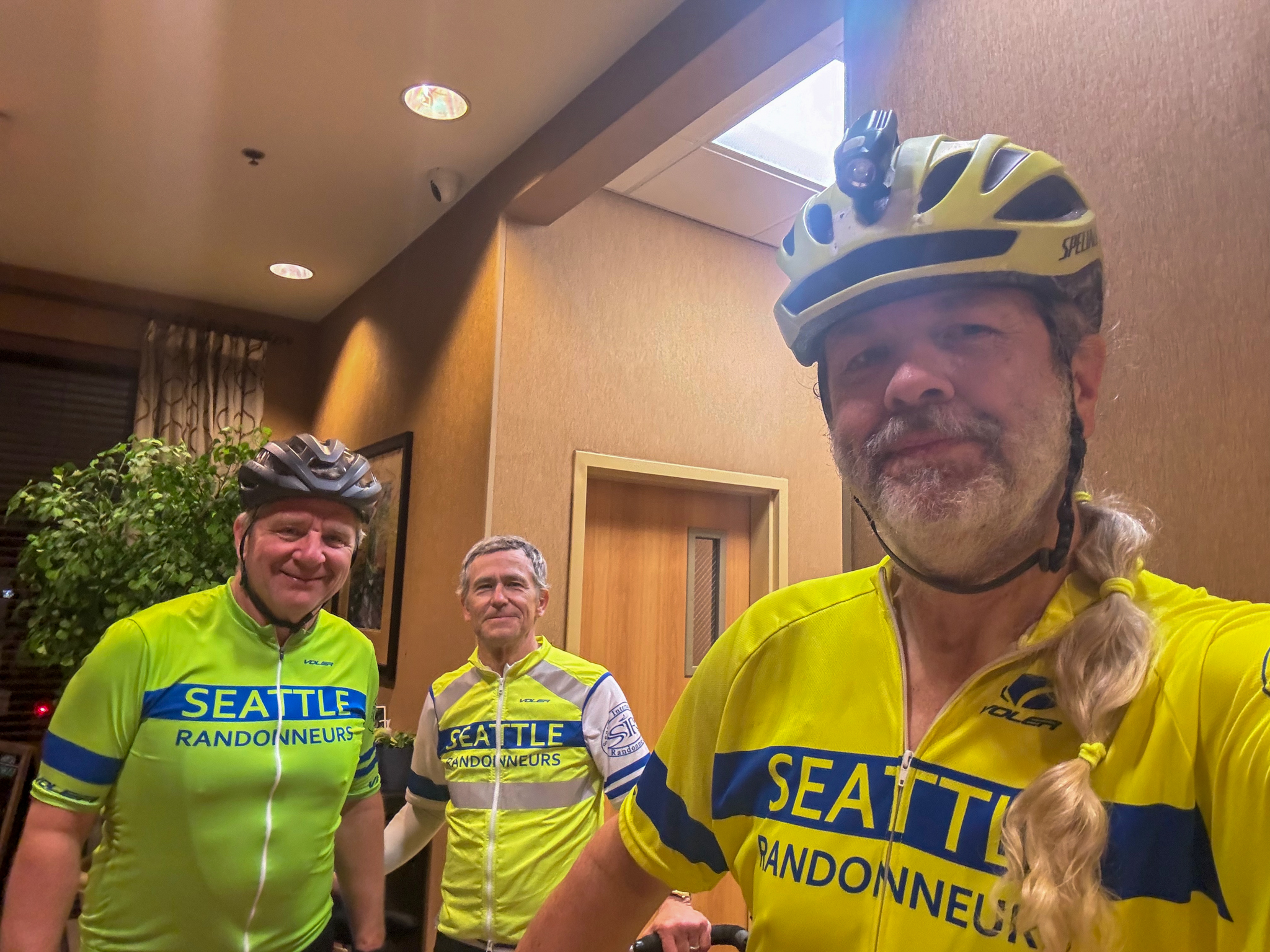
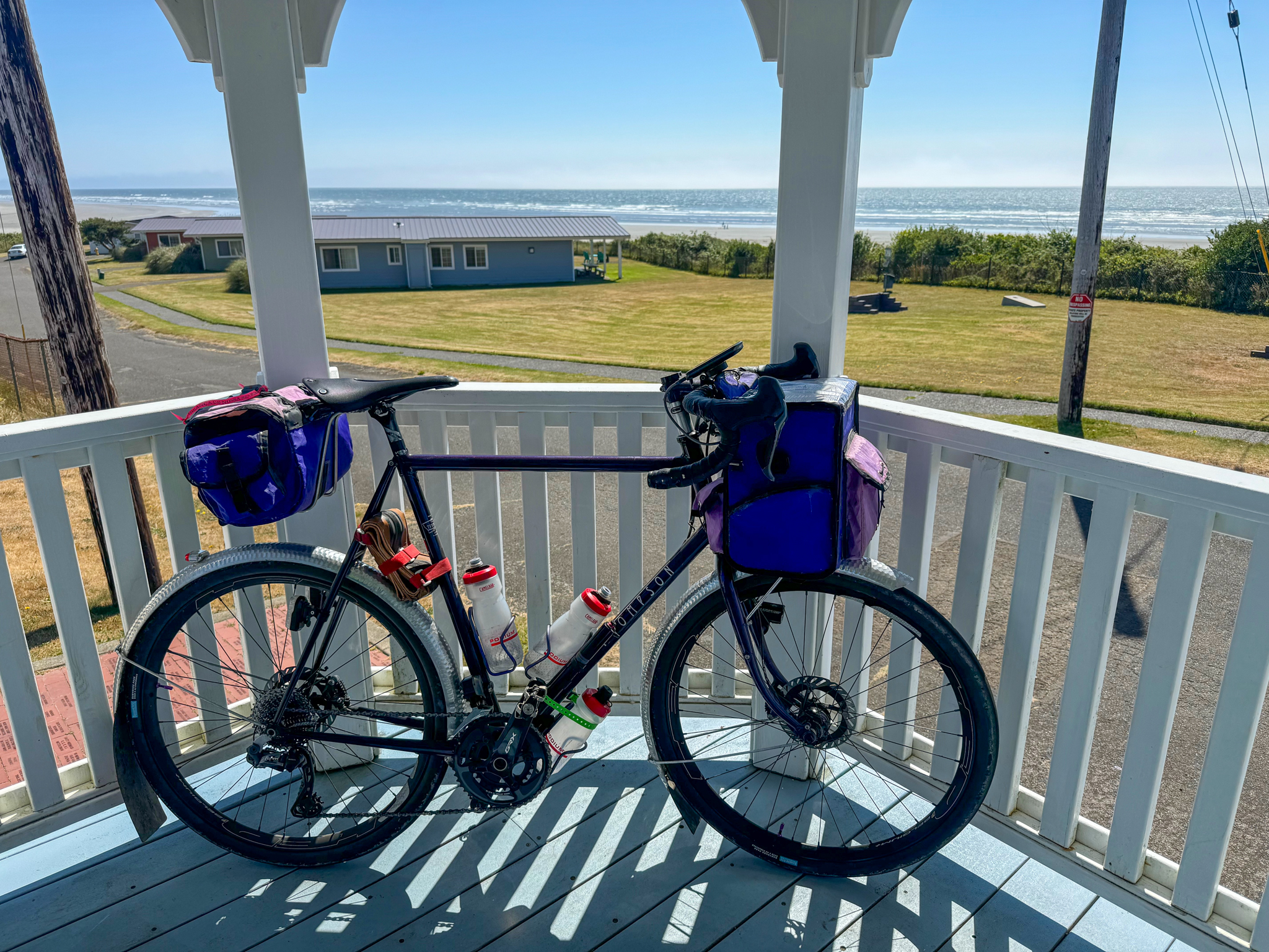
The pre-riders (Matt Close, Chris Heg, and myself) chose to spend both nights at the Hampton Inn & Suites Bremerton, the ride finish. Another option is to spend Friday night at the Super 8 by Wyndham Bremerton adjacent to Denny’s. Both options have their pluses and minuses:
- The Hampton Inn is significantly more expensive than the Super 8.
- The Super 8 is literally next door to Denny’s. The Hampton Inn is about 5.3K away (see below).
- The Hampton Inn is the finish, so having all of your stuff already in your room (and not dealing with check-in) after riding 400K is a big plus.
Any riders who choose to stay Friday night at the Super 8 and Saturday night at the Hampton Inn can bring their luggage to Denny’s. Kasia & I will haul it to the Hampton Inn and store it in the control room until you arrive.
There other hotel options in the general area. You’ll be on your own for logistics if you choose this option. Kasia & I will pickup bags at Denny’s and transport them to Hampton Inn.
Getting There
The pre-riders rolled out of the Hampton Inn at 4:00 AM sharp for the ~5.3K ride to Denny’s. See https://ridewithgps.com/trips/204061276. It’s a lumpy ride; my GPS recorded 102 meters (~335 feet) gain, maximum grade 10.0%. It took us about 17 minutes, giving us plenty of time to order & eat breakfast. You can park your bikes inside the entry way — the server working that shift offered this without prompting. You gotta love it.
If you’re a slow climber or otherwise want to pamper your legs a bit before riding 407K you might want to budget a little more time to get to Denny’s.
Traffic at 4:00 AM was, as expected, minimal.
The Route
My Garmin 1040 identified 19 “significant climbs” along the route. Most are relatively short. The first of these begins a mere 1.7K into the ride. This climb could be known as “Breakfast Returns”. You’ll probably have a belly full of breakfast, so pace yourself, gear down, and spin up at a leisurely pace.
After about 22K you’ll pass through Belfair. There’s a 24-hour Chevron slightly off route which you probably won’t need this early in the ride. Keep it mind, though, because you’ll pass right by it on the inbound route (~381K).
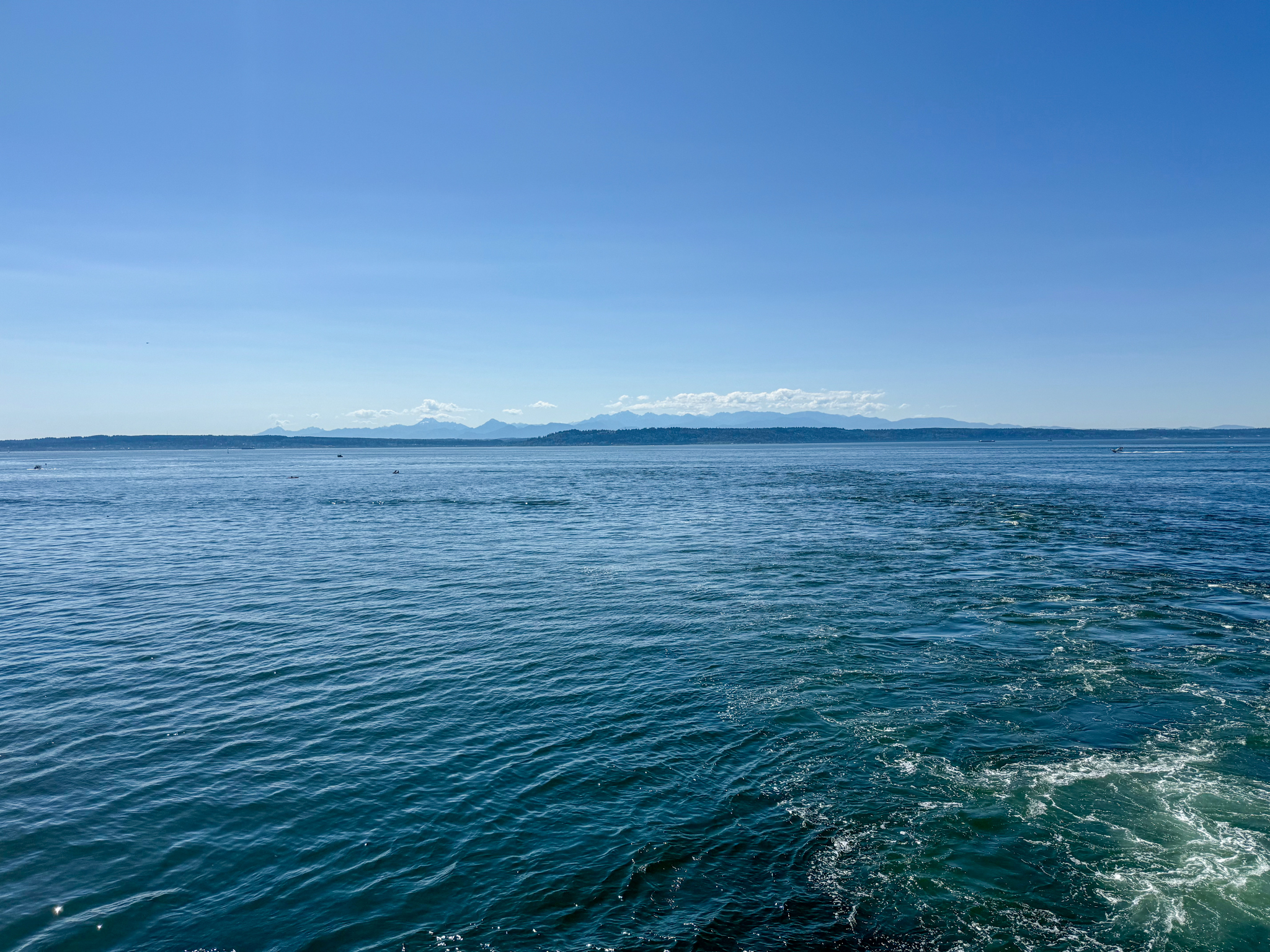
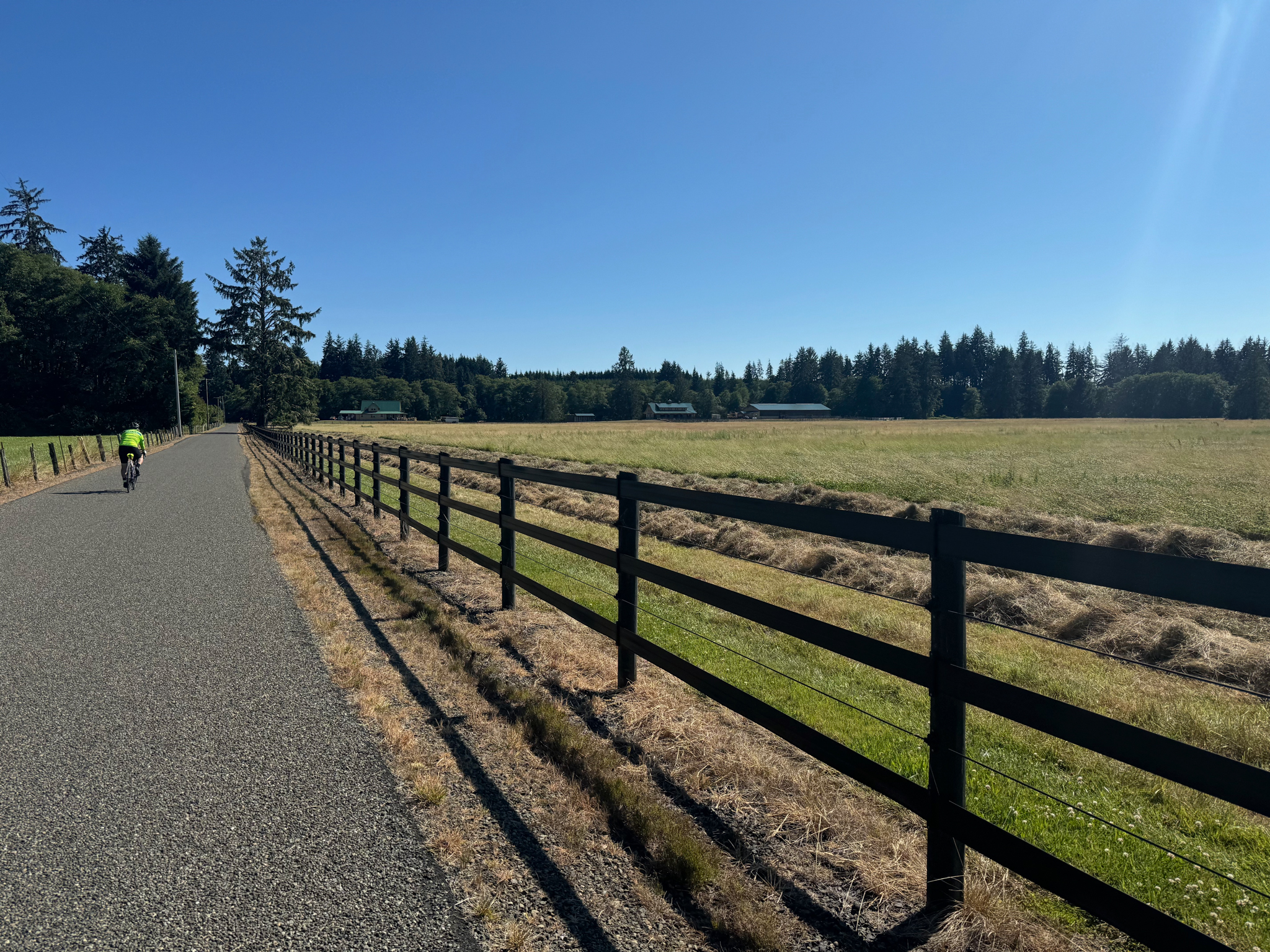
Shortly past Belfair the route follows the south bank of Hood Canal. Gentle rolling hills, very light traffic, and stunning scenery make for a wonderful start of the day.
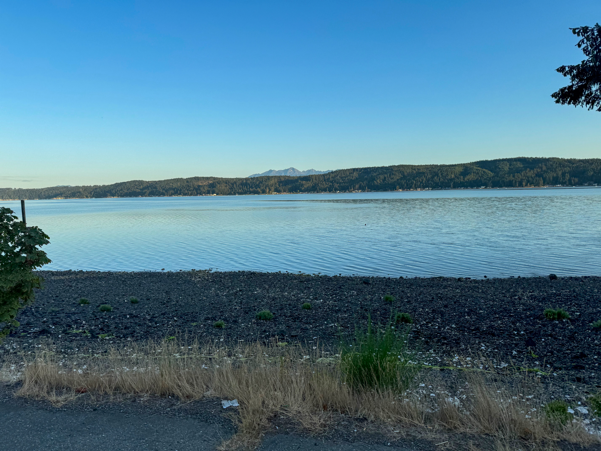
Near the south end of Hood Canal you’ll reach the town of Union where you’ll find the first control (a Chevron) sitting in the middle of the longest (and, IMO, hardest) climb of the day. Answer the control question, stock up on water and munchies, and start climbing again.
The next supply option (not a control) is in Dayton at 70K. The store opens at 8:00 AM and closes at 9:00 PM. They were clearly opened when the pre-riders rolled through, but we didn’t stop. Fast riders (anyone covering the first 70K in under three hours) may get here before the store opens.
Note: Small independent convenience stores (i.e. not big 24-hour gas stations like Chevron or Shell) often charge service fees for credit card purchases. Either accept your fate and pay these fees or bring some cash for small purchases.
At 85K you will reach the next control at the Matlock General Store. It’s nearly 68K to the next services, the Prairie Mart at 153K, with another option at the Humptulips Grocery at 158K. The pre-riders chose to skip the Prairie Mart and restock at the Humptulips Grocery.

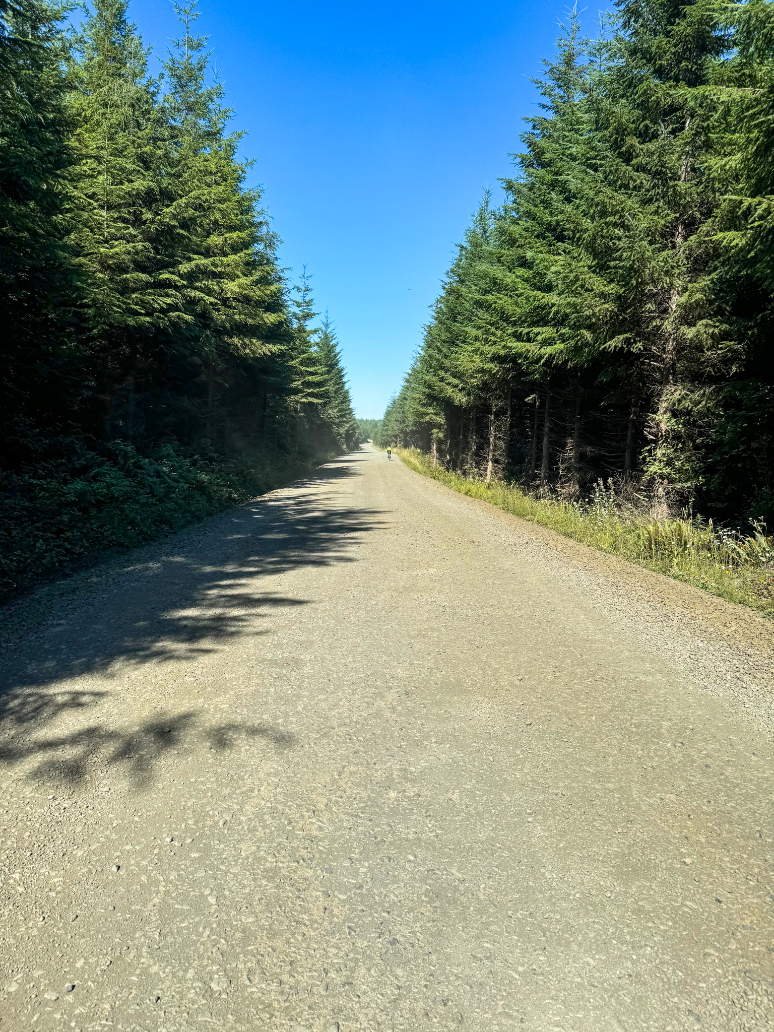
The section from Matlock to Humptulips is lumpy (IIRC it had eight of the Garmin-identified 19 significant climbs). It also features the route’s only gravel section. The gravel is mostly in good shape, but keep an eye out for loose gravel at road edges. One of the significant climbs is on gravel, so shift down and spin your way up.
From Humptulips the route heads north on Hwy 101. This section is straight, boring, exposed, and hot with high speed traffic. The good news: This section of 101 has a great shoulder.
At 175K turn off Hwy 101 onto Moclips Highway and the nature of the ride suddenly changes. Dense forest provides protection from the wind and sun, and there is very little traffic. The comparison to Hwy 101 could not be more dramatic. About 7K later you’ll reach another control near the Quinault National Fish Hatchery.
At 208K the route turns south onto Hwy 109. Welcome to the coast! Expect to feel a sudden temperature drop here. The cool breeze blowing in off the Pacific provides welcome relief. There is another control in Pacific Beach at about 213K.
Departing Pacific Beach to the east, Main St crosses Hwy 109 and becomes Ocean Beach Rd at 213K. This is the official detour around the Hwy 109 construction, so expect lots of unhappy drivers. Ocean Beach Rd’s shoulder varies between “minimal” and “nonexistent”, so keep your eyes open.
Traffic drops considerably past Copalis Crossing (229K) where the detour diverts from our route. The short diversion on Tulips Rd at 233K is a wonderful place to recharge after Ocean Beach Rd.
Eventually the route reaches Hoquiam. At 253K there is a left turn from 5th St onto Simpson Ave/Hwy 101. There are two left-turn lanes — you want to be in the leftmost turn lane, then ride the left shoulder along Hwy 101 (it’s one-way here). This puts you into a good position to get on the left-hand sidewalk over the bridge. See https://maps.app.goo.gl/Vtqv2SMc28qKit1w7
After the bridge you must work your way across Hwy 101 to make a right turn onto Ontario St.
At 260K turn right off E Heron St onto H St. My Garmin 1040 mangled some cues here. It would be wise to review this area on Google Street View before riding. See https://maps.app.goo.gl/bDUkmhqW3FzwQC8D8 (bear right here, do NOT go up the ramp!), and here https://maps.app.goo.gl/UYC925UXq3qExGL57 for the entrance to the pedestrian ramp.
Notes about this bridge crossing:
- The ramp up to the bridge has a very tight hairpin turn. Some riders may be more comfortable walking around this turn.
- The sidewalk is raised above the road. If you’re fatigued and not confident of your bike handling abilities, walk it.
- The sidewalk is narrow. Watch out for pedestrians.
- Watch out for crosswinds. It was super windy during the pre-ride.
- At the end of the bridge (260.8K) there is an abrupt drop of a few inches as the bridge sidewalk transitions to the road sidewalk. This drop is right where the concrete bridge railing ends. See https://maps.app.goo.gl/hTmwhBAx8CwmmKuQ7
- The pre-riders stayed on the sidewalk until it crossed W Marion St (261K) and then moved left for the left turn onto W Cushing St (261.3K).
24 hour supplies are available in Montesano (Chevron) and Elma (Shell, also a control).
Depending on your speed, the section from Elma (297K) to Belfair (281K) is potentially the longest stretch without services. The store in Dayton at 331K closes at 9:00 PM; the pre-riders rolled through Dayton at 9:30 PM. We planned for this, so in Elma we filled all of our bottles and each of us bought an additional 1 liter-ish bottle to carry. This extra water (plus cooler nighttime temperatures) was enough to get us all the way to the finish.
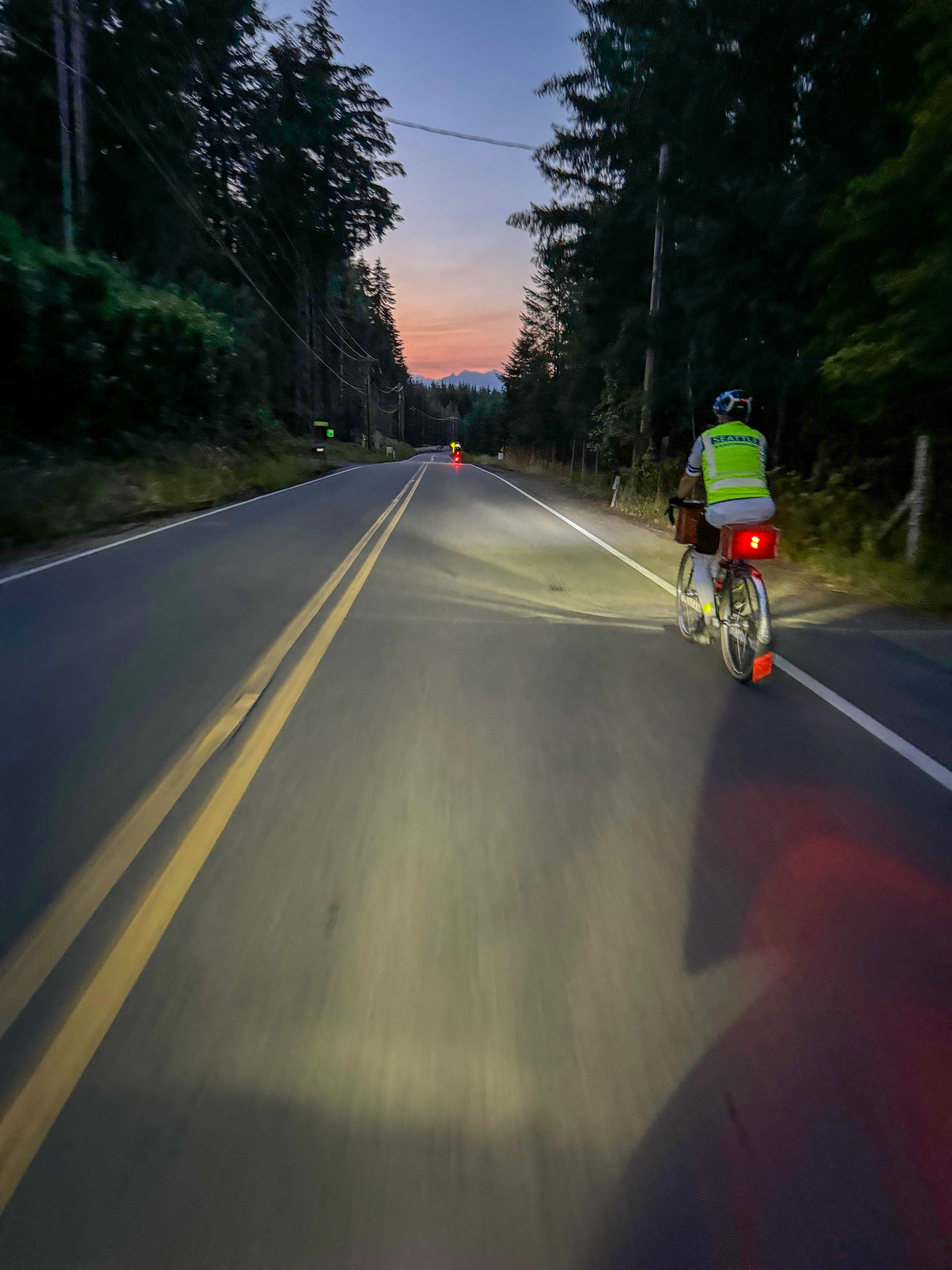
Nearing Bremerton, the Hwy 3 shoulder (398K) has horrible rumble strips and lots of debris.
This is an SIR ride, so of course there’s one final big climb right before the finish. This starts at about 404K. Climb that last big hill, plus one much smaller hill, and you’re done.