By Bill Gobie
Pre-riders: Bill Gobie, Jason Hansen, Keith Moore
Bright morning sun and a half hour spent inside a warm bakery mislead yours truly into underdressing at the start. After a quick stop to add clothing the pre-ride got underway in earnest. The air was very cold, and continued to be cold all the way to the tunnel. While the Iron Horse Trail’s location on the shady north-facing side of the valley makes the trail very pleasant on a hot summer day, on a cold fall day the trail is cold, period.
At the start the course follows paved streets in North Bend for a few blocks, then turns on to gravel and remains on gravel for more than 50 km, all the way to Hyak. The return is on pavement, very hard dirt, and gravel. In all there is 76 km of gravel, 10 km of hard dirt, and the balance pavement.
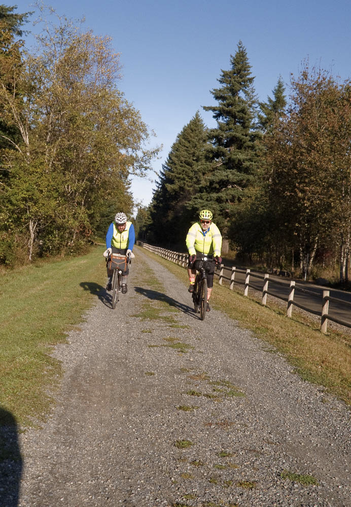
We rolled up the trail without mishap, this dog with his prize stick notwithstanding.

The trail is used by horseback riders. If you encounter a horse, do not ring your bell! Bells can startle horses. Call out, ask the rider for permission to pass. Some riders will want to turn their horses to face you.
There were a fair number of people using the trail. If the weather is nice on the day of the ride, expect to encounter a goodly number of hikers taking advantage of the nice conditions. There may also be families with small children on bikes.

We got some welcome sunshine crossing the big trestles. The climbing areas near the trestles were lightly populated. Be aware people belaying climbers are paying full attention to their friends up on the rock. Give them lots of warning and pass slowly.
The portable toilets had been removed from the climbing areas. Three pit toilets are available on the trail, at Alice Creek Campground, Carter Creek Campground, and at the west end of the tunnel. On the east side of the tunnel Hyak has heated restrooms. These are all noted on the route sheet.
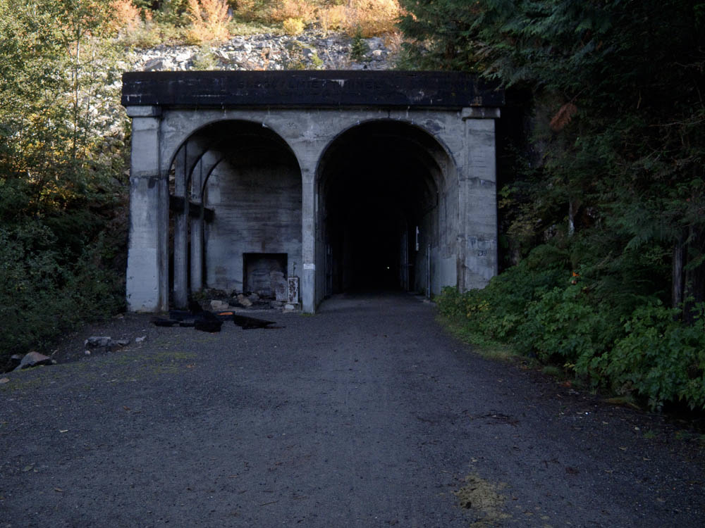
If you’ve not been to the Snoqualmie tunnel, it is a surprisingly long way up the trail. But eventually you arrive. Since the day was cold, we did not find the interior of the tunnel significantly colder. There were a few spots dripping water from the ceiling with small puddles beneath. The surface was generally very hard, although bumpy in a few places.
The tunnel is close to the parking area at Hyak. You will almost certainly encounter pedestrians in the tunnel. Most have lights, although somehow some people are able to make their way through without any lights. Virtually none wear reflective clothing nor do any have tail lights. Distance can be hard to judge, so approach pedestrians cautiously.
When we popped out of the tunnel on the Hyak side the air was significantly warmer and we had lots of nice sunshine. Hyak has a restroom building with heated restrooms. There is a water spigot on the west side of the building (nearest the tunnel).

Continuing on the trail we saw lots of foliage putting on its fall colors. Will the show last until the ride day? You will have to ride to find out!

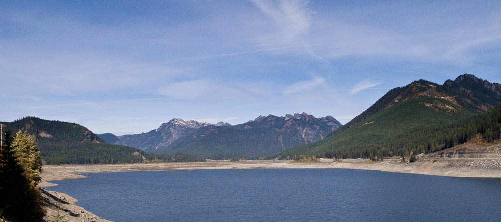
The turnaround point is at a large interpretive sign. The views are great from here (see picture at the top). We had a second look at the fall colors on the way back to Hyak.
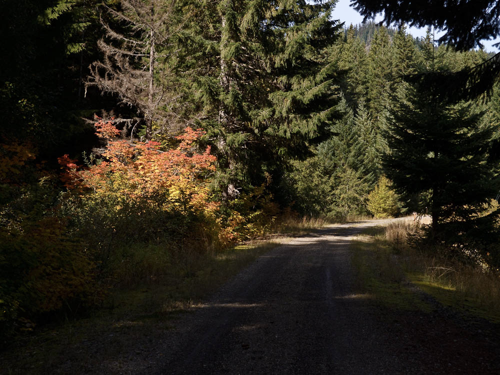
From Hyak the route takes the frontage road alongside I-90, passing the ski areas. The second-steepest climbing on the route occurs here. The control at the Summit Deli/Chevron marks the high point of the route. Since this control comes after nearly 60 km of unbroken climbing, it is untimed – you are not required to reach this point within four hours elapsed time. However, if you are over four hours, don’t dally here. You will be able to make up time on the descent, but you don’t want to have to be a daredevil.
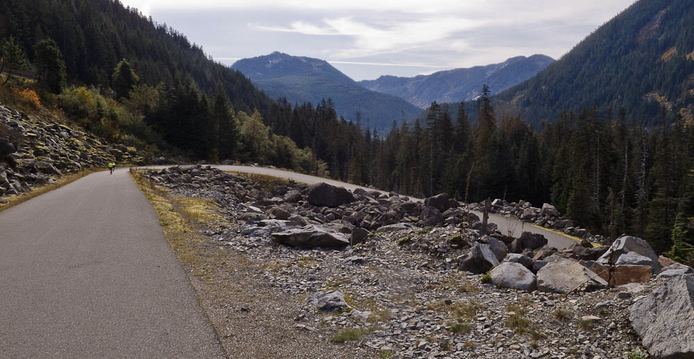
A little way from the control the route turns left onto the original pass road, Forest Service Road 58, and begins a splendid descent. On a nice day the day-use areas along Road 58 will be busy. Be aware there may be uphill car traffic around every bend and curve. Around one hairpin I encountered a car making a three-point turn, entirely blocking the road. There are a few metal plates in the road. If it has rained within the last several days the shady portions of the road may still be wet. In some places we could see moss was beginning to regrow on the road.
The fast plunge through the forest eventually ends. The route crosses I-90 and turns onto Tinkham Rd. There is an enormous hole at this turn, 43.7 mi/70.1 km!
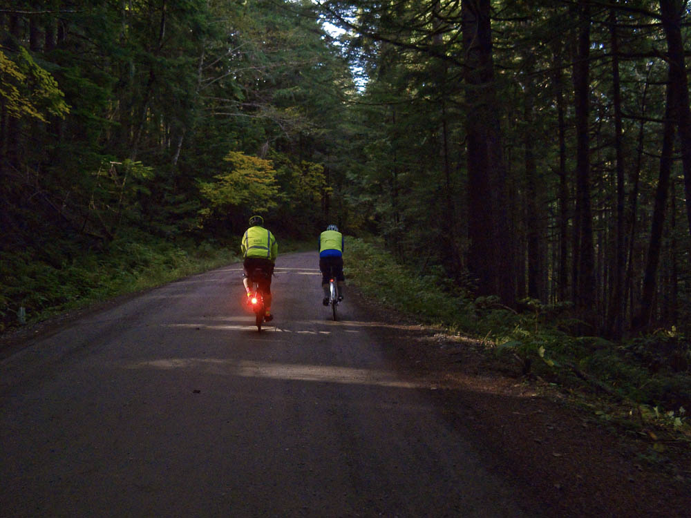
As usual, Tinkham Rd has numerous potholes. It will be a good idea for groups to spread out on Tinkham so everyone has a clear view of the pothole fields.
Tinkham has two fixed hazards, a wooden bridge with a gap down the center at 46.6 mi/75.0 km, and a large grate resembling a diagonal cattle guard spanning the entire road at 48.6 mi /78.2 km. These are noted on the route sheet.

After Tinkham there is a 2.4 mile noisy downhill run on I-90 to the next exit. The shoulder is wide but covered with debris. Ride carefully.
Exiting onto Homestead Valley Rd you will regain peace and quiet. From Homestead the route rejoins the Iron Horse Trail, but you have to work to do so! The steepest climbing on the route occurs on this short pitch. From there the rest of the ride is all downhill and then nearly level into North Bend.
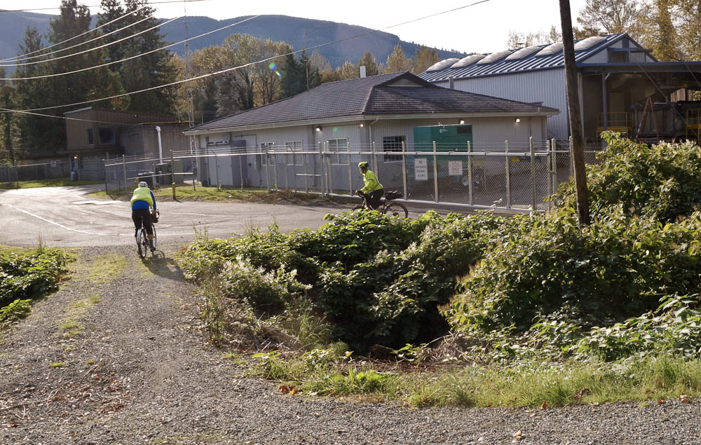
To find the exit from the trail look for a building with a chain link fence topped with barbed wire. At the start of the ride the cue sheet prompts you to look at this fence as you pass it. From there it’s a minute or two to the ride finish at The Pour House.
