
Pre-DNF’r: Bill Gobie
This is undoubtedly one of SIR’s most scenic routes. Even with the weekend’s damp forecast this should be a very enjoyable ride.
Susan Otcenas generously shared her Cascade 1400 pre-pre-ride intelligence, specifically regarding hazards.
The most dangerous spot on the course is at 327.9 km / 203.8 mi where you will find the Danger cue: “STOP FOR STOP SIGN.” This is on a downhill 7 miles from the overnight in Forks. The entire right side of the road is washed out. The washout is surrounded by concrete barricades. At night the glare from the stop sign may prevent you from seeing beyond the stop sign. If you blow past the stop sign you will crash headlong into the concrete barricade. Stop and orient yourself before proceeding!
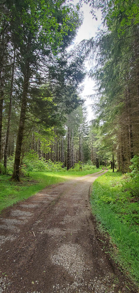
The gravel portions of the route are in terrific shape. The surfaces are very hard with generally little loose gravel. They resemble rough pavement with a few potholes. The steep climbs on North Shore road may be slippery with the weekend’s rain, but they are short and quick to walk. I have never seen Cougar-Smith Road in such good shape. The large potholes that frequently lurk in the shade after the bridge at the beginning of the gravel section are filled. It is a good idea to slow down for the bridge regardless since the tall joints on the bridge could pinch-flat your tires.
Please familiarize yourself with the parking directions if you are joining the ride via the Fauntleroy (West Seattle) ferry. https://blog.seattlerando.org/?p=2100
The prehistoric glaciers that carved Pugetlandia’s topography did cyclists no favors, nor did the road engineers who built strait up and over every ridge. Don’t expect to make good time on the initial leg to Belfair. The first timed control is 340 km away in Forks, plenty of distance to build up time in the bank. At the left turn onto WA-3 before Belfair please wait for a safe break in traffic on highway 3.
After Belfair your speed should pick up as you roll along on WA-108 beside the Hood Canal. If the Canal’s cold saltwater makes you chilly, you should find relief on the stiff climb up Dalby and McCready Roads past the first info control at a gas station. After another climb on US-101 we turn west on rolling relatively flat roads past the Dayton store (no restroom) and onward to another info control at the Matlock store (good restroom).
From Matlock the roads undulate downwards through beautiful forest, finishing with a screaming descent to the bridge before the gravel section of Cougar-Smith Rd. Take it easy on the bridge. I can confirm Cougar-Smith’s climbing remains steep.
After Cougar-Smith Rd we generally descend through Aberdeen Gardens and climb only slightly to Humptulips at 167 km. Gentle climbing continues until the route tips into the Quinault Valley and you zoom to the small resort settlement. For resupply skip the Chevron station, it has almost nothing. The Quinault Mercantile store is open although its restaurant is not. Slightly ahead the Rainforest Resort store is also open but with less selection.
The route continues up the Quinault Valley on South Shore Road. I believe this is the first time we have run a ride up the valley. This is one of the prettiest portions of the route in my opinion. After passing through open farm and pastureland you will cycle into dense forest where the ferns and moss suggest old growth. The trees are too small, however. The easy terrain probably allowed logging the original forest long ago. Nevertheless the regrown forest is marvelously lush. Watch and listen for Merriman Falls on the right.
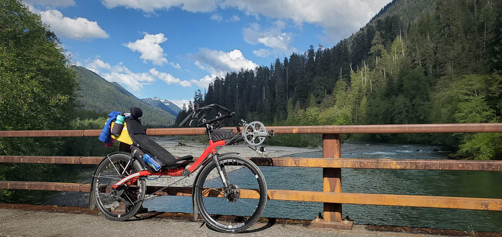
Both my Wahoo and phone gps lost navigation lock in the narrow valley under the dense trees. If yours does too, carry on anyway. There is only one bridge across the Quinault River, and one road out on the other side. You will find them. From the bridge you can gaze upriver into the interior of the Olympic National Park.
North Shore Road feels more wild than South Shore. It is narrower and considerably steeper in places. Take care if the forecast rain makes it slippery.
North Shore Grocery at the intersection with US-101 is an important resupply point: It is the last supply for the remaining 100 km to Forks. The store closes at 10 PM. This is roughly the same time a person riding at the minimum pace would arrive, so it behooves you to beat this time. This is a good location to don your night riding gear if sunset is at hand.
Turning north on US-101, the shoulders are often poor or nonexistent. You should ensure you are highly visible for this portion.
At 266 km the route turns onto Clearwater Rd, becoming Hoh Mainline Rd. After passing through the bucolic hamlet of Clearwater, where you may sight elk in the fields, the road begins a relentless climb punctuated by small descents. There are four patches of gravel, 20-50 yards long, along here. They are noted in the cues. They may be difficult to see in the dark. After passing the brightly lit Olympic Corrections Center (don’t stop!) you will crest a second summit on Hoh Mainline and then speedily descend to US-101.
After crossing the Hoh River you have to climb out of its valley until cresting at about 324 km. On the descent beware of the dangerous barricade at the washout at 328 km. Finally some minor climbing that felt Everest-like will bring you to Forks and the overnight. Be sure to check in at the Forks Motel control even if you are not staying there. Fast riders may want to continue to the First Beach control, then return to their lodging in Forks for the night.
For many people the second day will begin with the plunge to sea level at scenic First Beach. From there the longest climb on the route takes you to the rim above Crescent Lake. Along the way the route turns onto a relatively new portion of the Olympic Discovery Trail at Mary Clark Rd. This quiet road and trail winding through dense forest also is one of the route’s gems.

The trail crosses US-101 and twists upward and then down through more forest on its way to the junction with the Spruce Railroad Trail. A long, easy descent ensues to the shore of scenic Lake Crescent.
The sojourn along Lake Crescent ends too soon and you have to climb a low pass over to Joyce, where a meal at the Blackberry Cafe is highly recommended.
After a run along WA-112 the route turns off to cross the Elwha River on a unique cycle bridge slung underneath the road bridge. Do not miss the turnoff for the bridge! The Olympic Discovery Trail resumes and you follow it into Port Angeles.
Once through Port Angeles, where there are numerous resupply and dining options, you leave town alongside salt water on the Olympic Discovery Trail, where you may get hit with salt spray if the weather is rough.
Next comes — can you guess — another climb, albeit short. The route gets on US-101 to avoid a hazardous, slippery portion of the ODT. A “Landmark” cue alerts you to the impending poorly signed left turn onto Old Olympic Highway. Avoiding construction on the ODT, we continue on roads all the way into Sequim, where there is a Safeway and numerous fast food options.
Once out of Sequim the route takes the ODT through Sequim Bay State Park, past Blyn, and almost all the way to Discovery Bay. For many riders this will be the first time on the very new portions of the ODT from Blyn to Discovery Bay.
There is little choice but to tolerate noisy, busy US-101 all the way to the Hood Canal Bridge. At least the shoulders are generally good. On the Hood Canal Bridge stay right on the solid panels on the grated bridge decks.
From the Hood Canal bridge turn left and pass through storybook-pretty Port Gamble. The Port Gamble General Store and Cafe is open until 6PM. Find it by turning left off-route where WA-104 makes a sharp right.
From there the route makes a beeline to the finish at the Quality Inn & Suites Bainbridge. To reach the ferry for Seattle continue south on Hildebrand Ln, continue on the walking path onto Erikson and finally turn left on Winslow Way E. The last ferry on Sunday sails at midnight.