Tag Archives: preride

2024 Fall Waterville Gravel Populaire Pre-Ride Report

Photos and text by Shan Perera

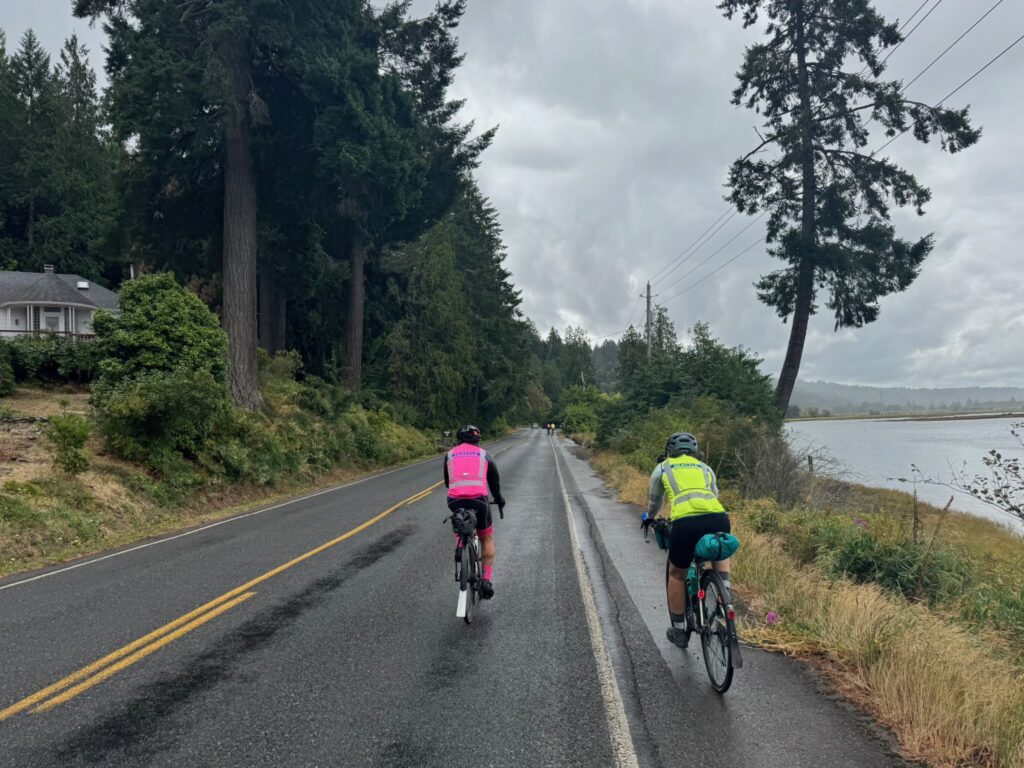
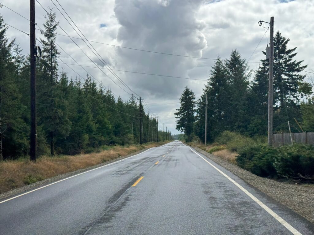
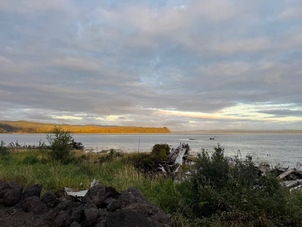
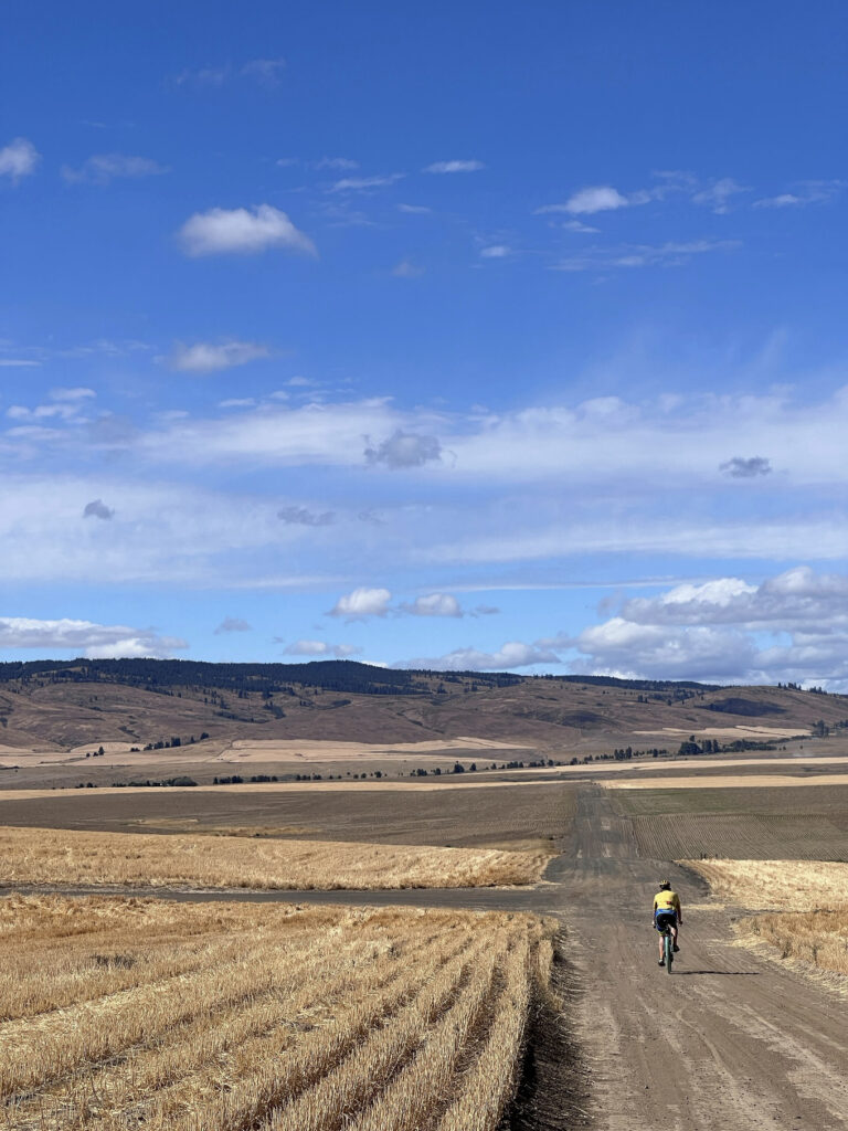
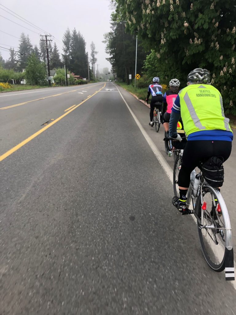
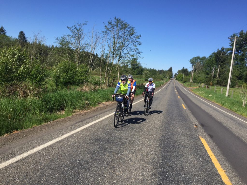
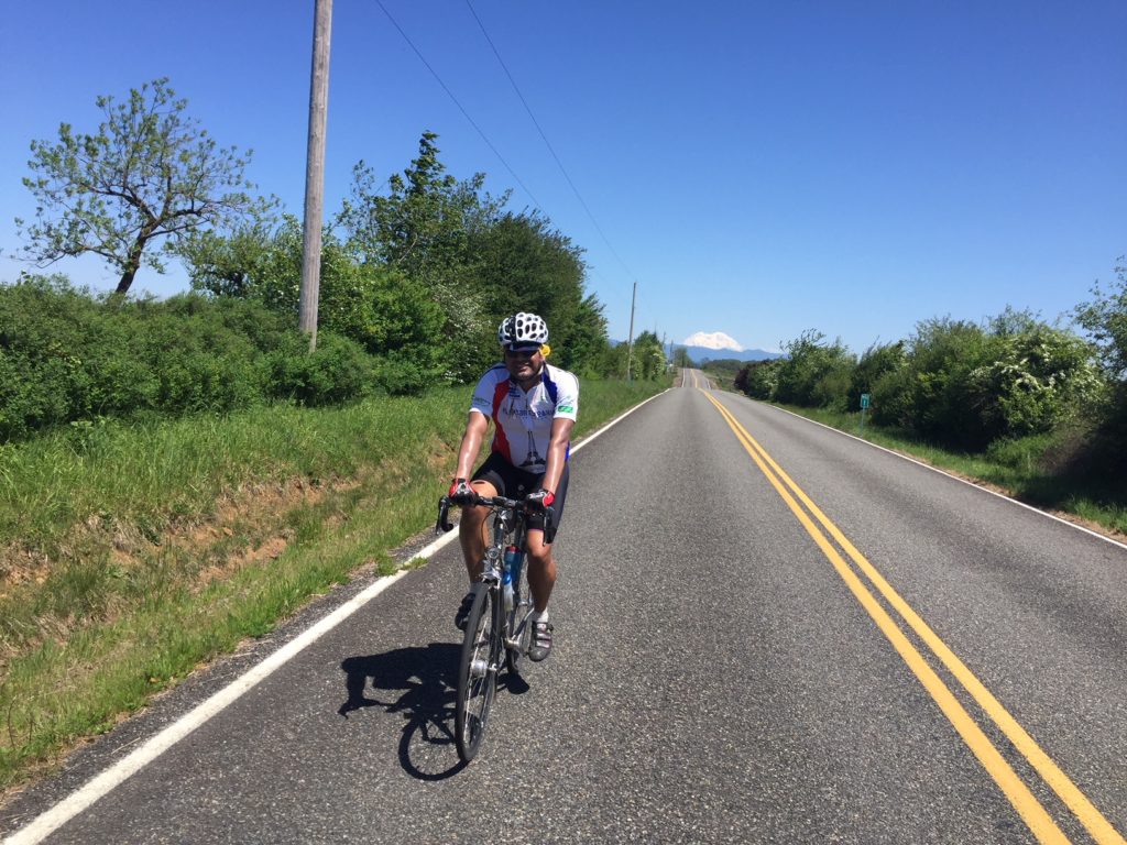
SIR’s third gravel event this year brings another course designed by Don “shiggy” Person – who has arguably mapped more Douglas County backroads than anyone for over a decade. Those who rode his first one in June will find an all-new route that is a bit shorter (100km vs 134km), with slightly less climbing (4300’ vs 5100’), but still chock full of adventure. From Waterville, we’ll work our way to Douglas, then south towards Alstown, traverse the southern plateau, turn north to Supplee, tackle some big rollers heading west in the direction of the Columbia, and finally turn east back to the start. Hwy 2 and the river far down below can be spotted during the last bit.

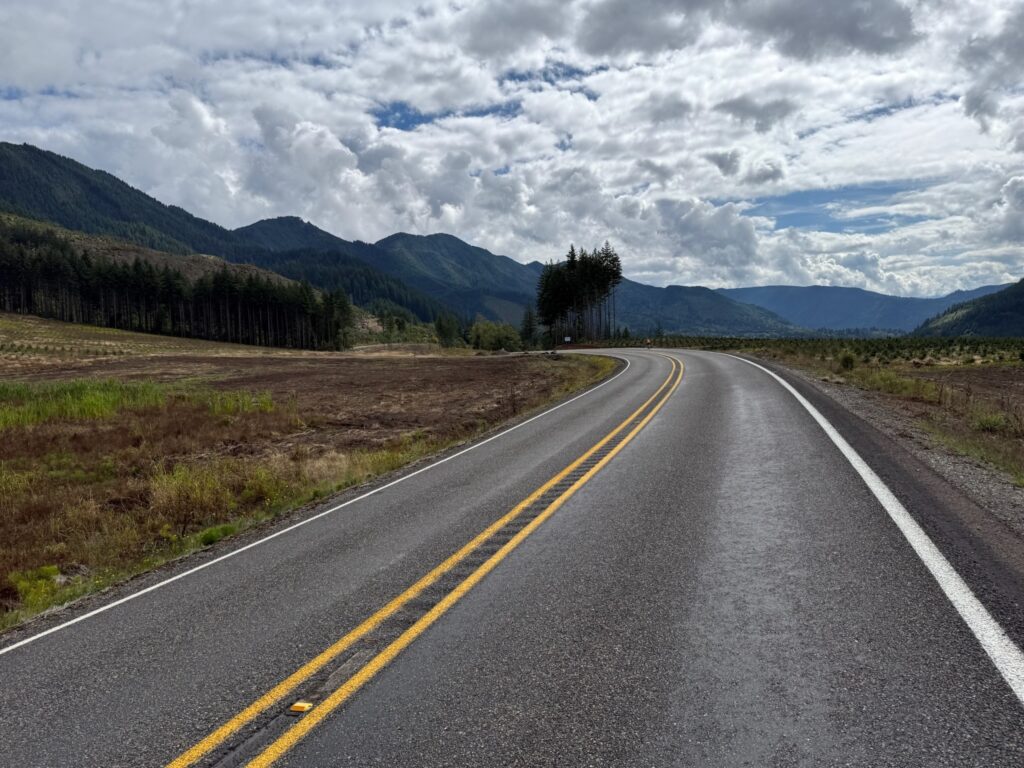
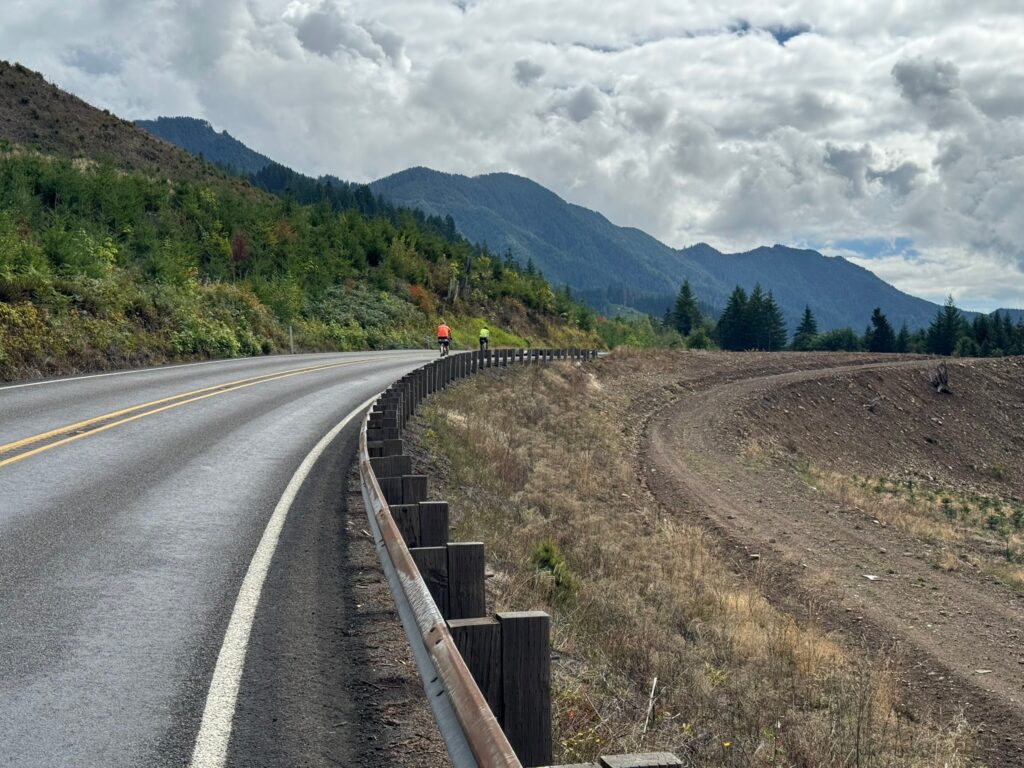
This 100km (62mi) route is 83% unpaved. You’ll discover hard-packed farm roads, mid to smooth (“champagne”) gravel, loose sand, chunky rocks to “moondust” (deep talcum powder-like fine dirt). The remaining 17% strategically-scattered, paved patches will render your legs a refreshing boost. There’s something for everyone here – an excellent, intermediate ride if you’re “gravel curious”. Nothing extreme or over the top challenging. I rode 40mm tires. shiggy was on 55mm. Recommend minimum 38mm. Slicks are fine.
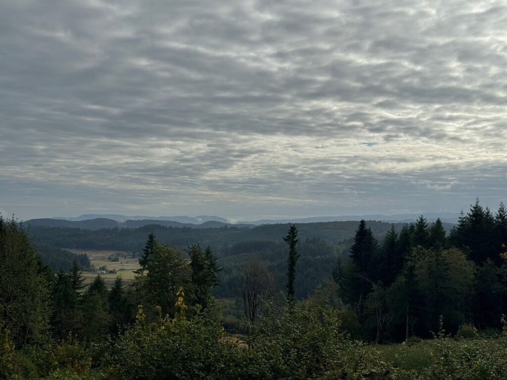
That said, you’ll be far away (no services/resupply points) with open skies in all directions, enveloped by expansive acres of wheat. You’ll see first-hand how our Eastern Washington landscape was shaped by glaciers, volcanos, floods and wind. Come prepared – carry extra tubes, check/top off sealant (if riding tubeless), bring extra food and no less than 2 water bottles. shiggy and I both had 3 bidons but ran out. However, with staffed controls at 21km (13mi) and 64km (40mi), you won’t have to worry about that happening to you. Expect to see no people and very little traffic all day. We were passed by only 2 cars the entire time. While, we rode past dozens of combines and other large vehicles, we saw just one in operation. Please remember, farm equipment ALWAYS have the right of way. No rain in current weather forecast. It may be hot, and there is ZERO shade on the route.
The most challenging downhill section with larger loose rocks comes early at 12km (7.5mi) on Rd 2 NW. Exercise high caution here. The steepest climb – also to highest point at 3100’ – comes at 89km (55mi). Your legs may grumble a bit, but it’s pretty much downhill from there. We let it rip on the final 5km (3mi) home stretch yelling “wheeeeeeeee”!

  • Ride Start: Pioneer Park in Waterville (North of W Walnut Street between E Park Street and S Chelan Ave, Waterville, WA 98858). Check-in begins at 8:00am. Briefing at 8:50am. Roll out 9:00am sharp.
  • Parking: Near the tennis courts in the park or at the high school on S Chelan Ave.
  • RV camping and coin operated showers (takes quarters) at Fairgrounds RV park – 1/4 mile away
  • Grocery store: Waterville Family Foods at (102 E Locust St; opens at 7:30am)
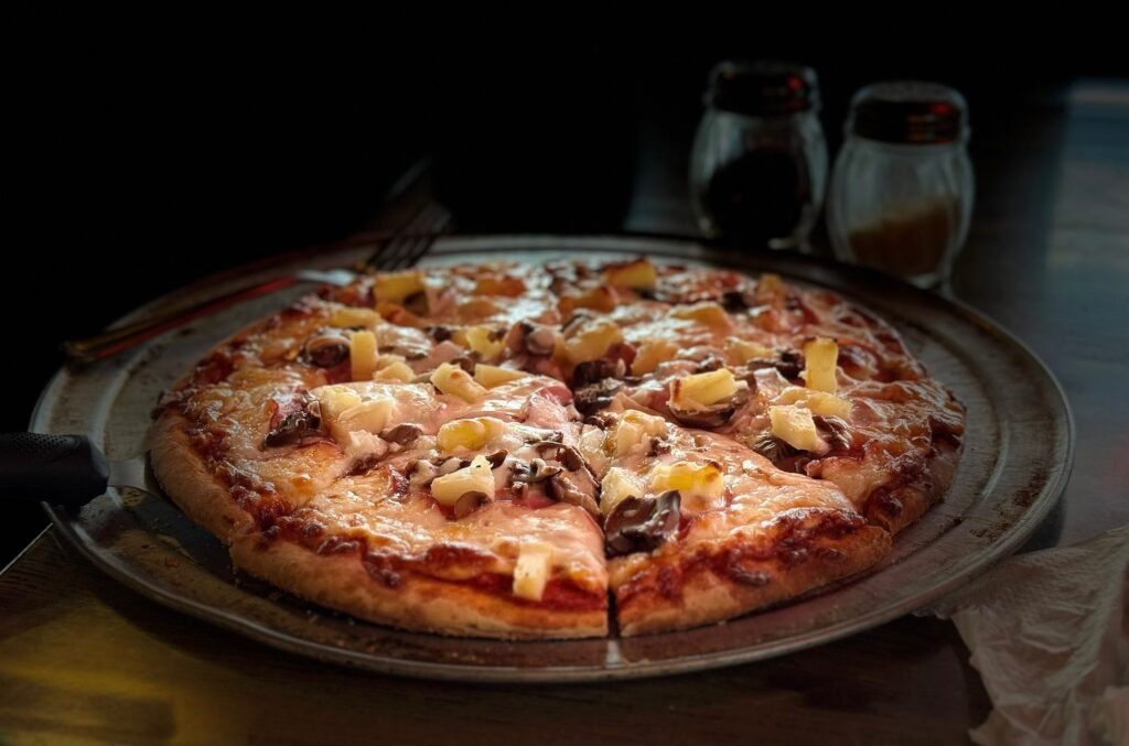
  • Finish and Post-ride: Knemeyers Eatery & Spirits (115 W Locust St; directly across from Pioneer Park) is friendly and has pizza, burgers, beer
  • Waterville Plateau history: https://www.historylink.org/file/9357
While most roads are in a grid pattern (Rd 1, Rd 2, Rd D, Rd E…etc) several intersections WON’T have any signs. Pay close attention to GPS and/or cue-sheet (highly recommend you print & bring with you). The marked turns are very accurate and we never got lost.
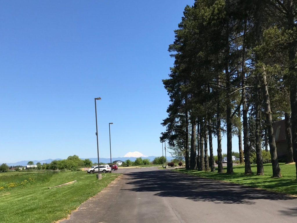
On the Waterville Plateau, wheat fields thrive from glaciers that melted a millennia ago. Erupting volcanoes, particularly the ash from Mount Mazama 7700 years ago, is a major contributor to the rich soils in the region. Mount St. Helen’s eruption in 1980 added to that.
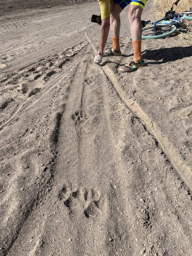
Large paw prints in deep sand that looked too big for a Coyote or Bobcat. Cougar??? We were later greeted by a Northern Harrier (with its distinctive white rump patch) gliding low over the wheat. And a Red Tail Hawk followed us overhead for a bit perhaps hoping the “crunch…crunch” of our wheels would scare a rodent snack out of hiding.
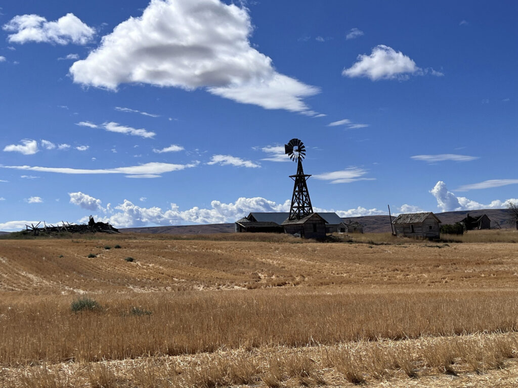
Douglas Cemetery
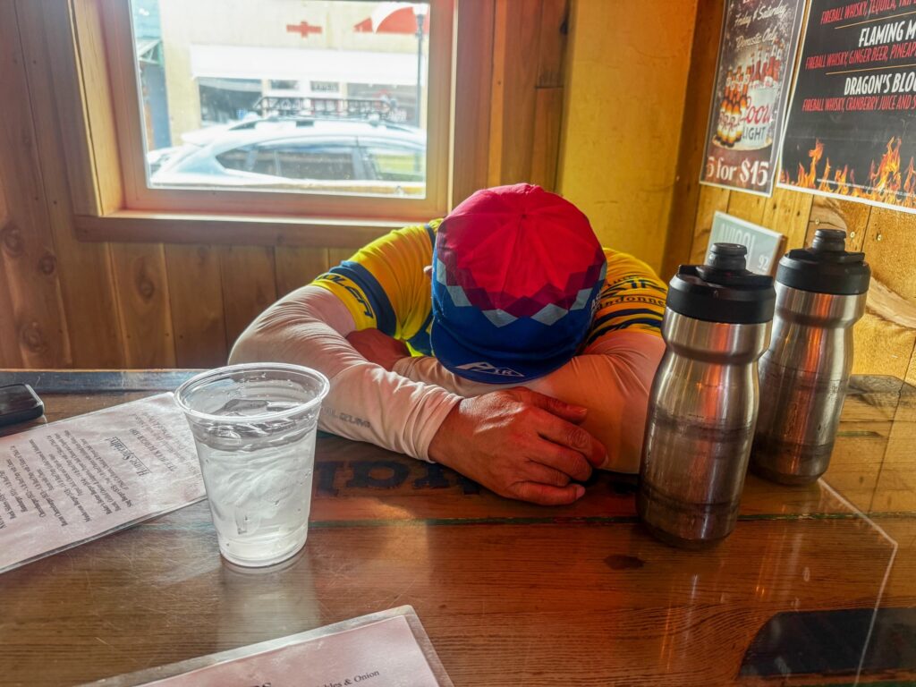
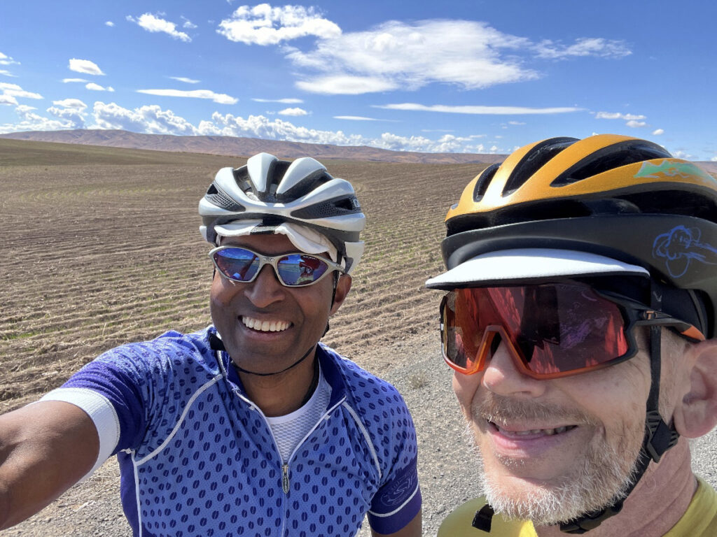
Shan and shiggy

Leave a Comment

Filed under Uncategorized

2018 Spring 600K: Olympia–Astoria

by Narayan Krishnamoorthy

(Photo: Josh Morse)

How does that song go?!

Happiness comes double / After a little pain / If you want the rainbow / You must have the rain.

This is most certainly one of those kinds of rides. There are loads of beautiful sections featuring some lovely roads, and there is a small element of what I would call the ugly. But sometimes you have to keep plodding through the bad (Longview bridge, Longview anything really, Highway 30, Monte–Elma Road) to enjoy the awesome (Spencer Road, Apiary Road, Drew Prairie Road, Smith–Anderson Road, OR 202, Blue Slough Road, and on and on). And the awesome outnumbers the awful by a good margin, so, AWESOME is the overwhelming verdict.

Many thanks to Josh Morse, Dewey R. Blacker, Susan Otcenas, Eddie Bishop, and Saint Barbara for all of their efforts this weekend. Especially Saint Barbara.

Short report:

  • We had GREAT weather. Sorry if we soaked up all the good weather.
  • Three Water Bottle ride, if it’s hot.
  • STOCK UP: Grand Mound or Centralia, no services until Morton.
  • HAZARD: One lane Bridge on the road to Morton.
  • STOCK UP: Morton / Mossyrock / Saikum / Mayfield.
  • HAZARD: Take care as you navigate through West Kelso / Longview
  • HAZARD: Take care on Longview bridge.
  • HAZARD: Take care on the left turn across Hwy 30 traffic to Apiary Road. [Update: Route now goes up Old Rainier Road to avoid Hwy 30 and this hazardous left.]
  • STOCK UP: Vernonia. Nothing open until Astoria.
  • HAZARD: Cattle Guards, upon turning into Jewell Refuge.
  • Bundle up for the descent to Astoria
  • HAZARD: Recommend Taillights on Astoria Bridge.
  • Terrain gets a bit easier after North Cove.
  • FREE BUDDHISM CLASSES in Westport!
  • Save some match sticks for the hills in Olympia / Tumwater.
  • HAVE A WONDERFUL RIDE!

Long report:

We started off with a nice flat, fast warm-up to Grand Mound, and, a little south of Tumwater, we were treated to a Bald Eagle and her eaglets landing on the road to feast on roadkill—only to fly away at the sight of four marauding bicycles flying down the road. I hope riders on ride-day are as lucky as us! Keep an eye out for them when you pass Freightliner Northwest. At Grand Mound, you should stock up on supplies because there is nothing until you hit Morton; we found the Starbucks to be fast. The shoulder comes and goes after Grand Mound, so be prepared to move into traffic, and keep a watchful eye.

It only looks flat outside of Centralia (Photo: Susan)

Past Centralia, the climbing starts in earnest. It may not seem like much to those of you who finished the Ephrata 400, but it certainly isn’t nothing, either. And Centralia–Alpha road is there to remind you of that. The road was foggy and, though traffic was light, we switched our taillights on. The temperatures climbed as we hit the 508 turn to Morton, so we stopped to take off some layers. There is one little one-lane bridge, so please take care there. At Morton, Josh and Ricky hit the market, while Susan and I hit the convenience store for a quick 10-minute stop. Both locations have been informed of your arrival on ride day.

The author with Mt Rainier behind (Photo: Susan Otcenas)

The road out of Morton starts climbing, but it is of the gentle, endless variety and the shoulder is in excellent condition. There are services in Mossyrock, Mayfield, and Saikum (at the store), so take advantage and stock up / top up supplies. Spencer Road is a gem, and we were blessed with beautiful views of Mount Rainier (behind), and St Helens (to the left).

Mt Rainier from Spencer Road (Photo: Narayan)

Westside Highway had a nice tailwind, but lots of traffic. We stopped at the store in Castle Rock to top up on fluids and get some ice cream. At Longview, you hit one of the “rain” sections with city riding on a busy street that hopefully can be cut out of the actual ride. [Update: The route through Longview has been changed, but there are a few miles on a busy street that can’t be avoided.] And then, there is the Longview bridge (insert profanity here). The shoulder is dirty, filled with glass and lots of logging debris, and there is no line that you can take on that shoulder that will avoid the crap. Traffic will likely be high so please take care here. I climbed slowly and descended slower as the cars and trucks make a beeline for relaxation. Turning right on Highway 30 takes you on a long climb. I stopped at least two times to “admire the scenery” and Susan was so patient, waiting for me and encouraging me up the climb. [Update: Route now follows Hwy 30 East into Rainier, Oregon, avoiding this climb.]

The gang regrouped atop the summit to make a left turn onto Apiary Road. This left turn can be tricky as you have to cross two lanes of traffic, and sightlines are limited for cars coming around the bend. [Update: Route avoids this turn by going into Rainier, Oregon, and up Old Rainier Road. It’s a much more pleasant climb with less traffic.] We paused for a few minutes under a tree where I had one of my numerous “woe is me” moments, but only because I wasn’t aware of the rejuvenating stretch ahead that would remove all the unpleasantness of the last few miles from my brain. Apiary Road was lovely, low in traffic, and had a nice rhythm after the first little steep pitch. There is a false summit, but the climb to there, and the climb to the actual top are very gentle. If you toodle along in your lowest gear you will eventually get there.

We plummeted down to Vernonia and had a nice ice cream and Gatorade break. Riders may want to stock up here as there are NO services for the next 100K [editor’s note: seriously, there’s nothing]. After a 25-minute break, we left Vernonia and the “hurry up and relax” group threw a Starbucks bottle at us. Luckily their aim was as good as their driving. We stopped a bit after Birkenfeld to dork up for the night because temperatures were so warm that wearing a vest was not appealing. We saw very few cars on this gentle climb. We stopped at the Jewell Wildlife Refuge to use the bathrooms and add layers; watch out for the cattle guards immediately after you make the left turn into the refuge, particularly if it’s raining. I survived the guards, but suffered the disconcerting sight of Ricky doing bridges on the concrete sidewalk.

We left together and stayed together. The temperatures kept going lower and lower. A State Trooper kindly asked how many of us were on the road and sounded relieved when we said just the four of us! So look out for police presence on this climb. I didn’t carry long finger gloves (to save weight), and I didn’t want to waste the time putting on my leg warmers. So, I pretty much froze on the descent. The store in Olney was shut up tight. And the lights of Astoria were beautiful in the night. We made it to Astoria a little past midnight, which meant we rode in the dark only for 3 hours. Riders should actually have more daylight than we had, so this promises to be a low night-riding brevet.

Saint Barbara helped us get situated, had ordered food and drinks, and catered to our every need as we rested and prepared for bed. A warm shower, lots of pizza, some beer, and a nice FOUR-hour nap (sorry, Susan) all helped me wake up well rested. This is the most sleep I have ever had on a 600K. I hope everyone can get at least some shut eye during the brevet.

Crossing the Astoria–Meigler Bridge (Photo: Susan)

Back in Washington (Photo: Susan)

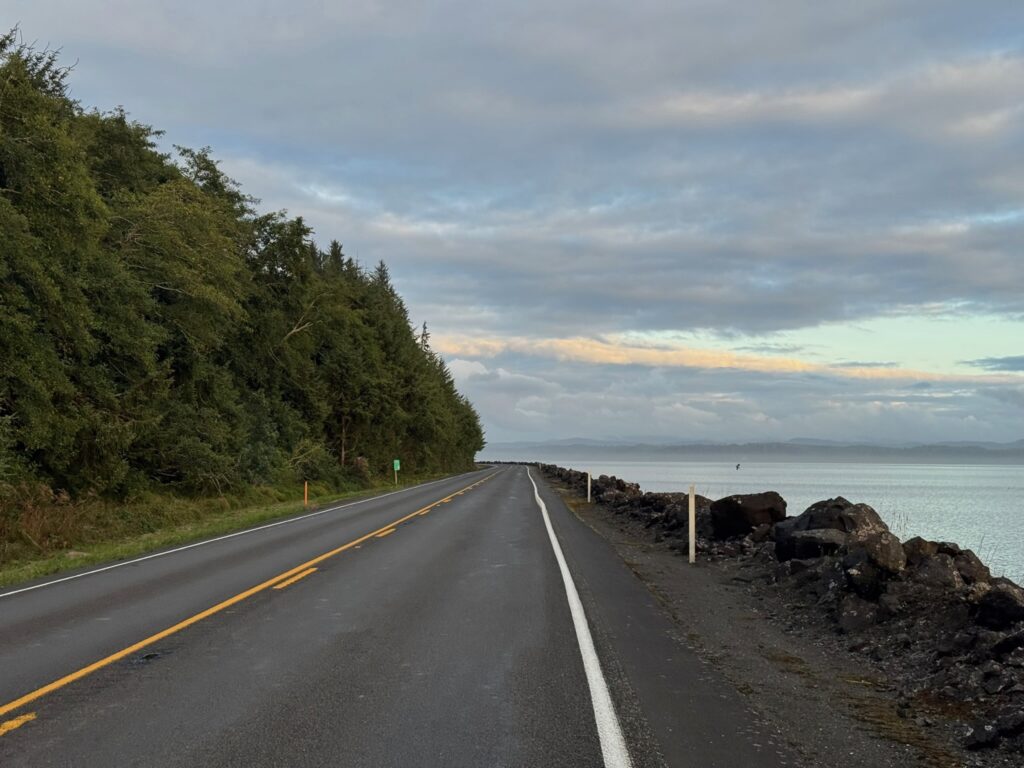
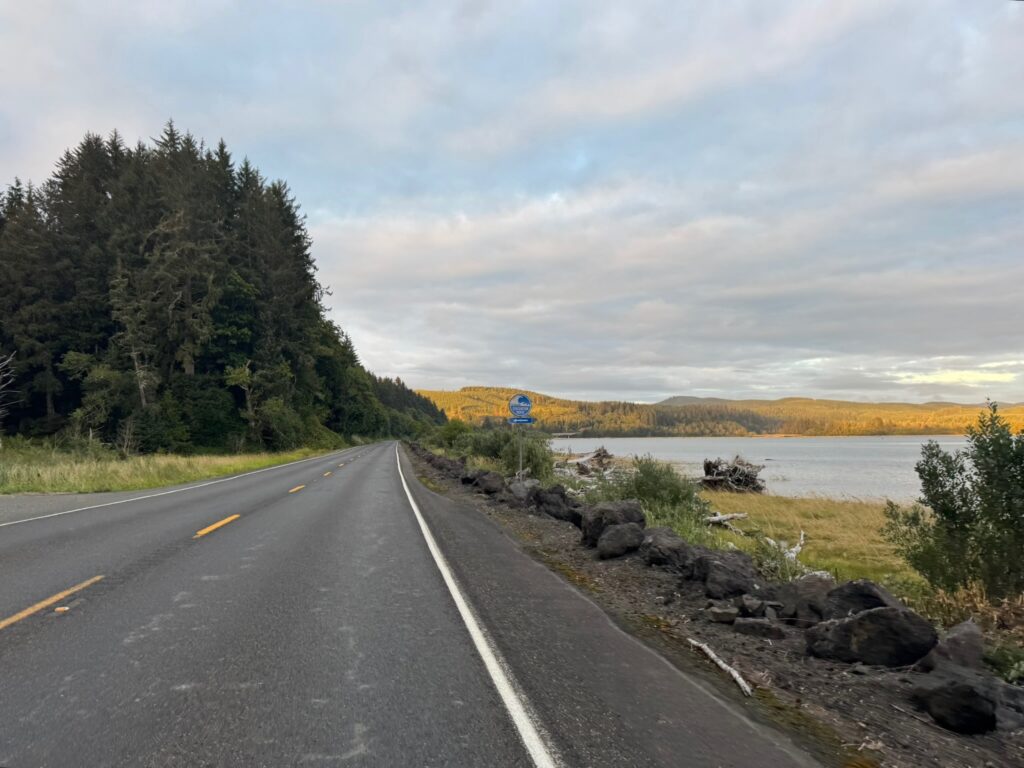
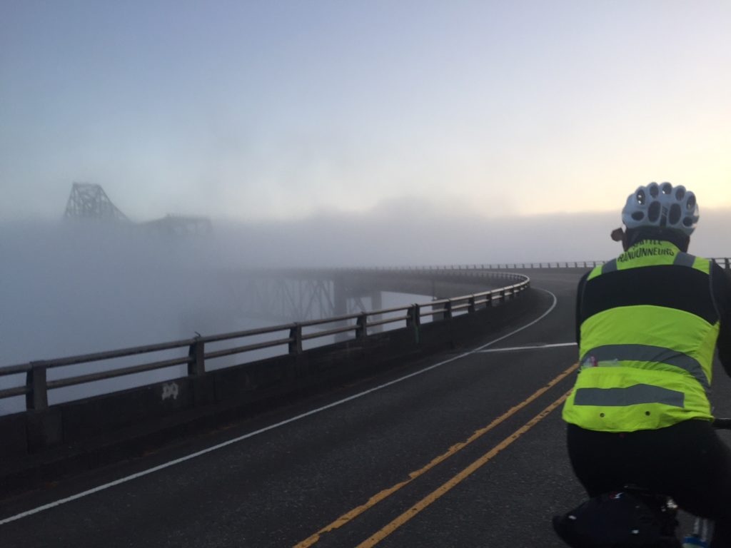
We had a nice breakfast of yogurt, coffee, and fruit (no warm food for us, but the hotel will do its best to have an early warm breakfast on the Sunday of the brevet), and set off with about 10 minutes to spare. The road was foggy—please switch on your taillights, even if you set off in the daylight. Any bit of visibility on the Astoria Bridge helps. The bridge is long, but the shoulder is adequate, the birds are plentiful, and traffic at that hour (5:45 a.m.) should be minimal. Maybe five cars passed us. The road to Naselle has lovely water views and the golden-hour-light of dawn coloured the trees a beautiful shade. The road gets climby after the right turn on to 101, and I was at my slowest here, but conversation with Susan and frequent breaks for this and that helped me recover a bit.

Susan and Narayan heading to Raymond.

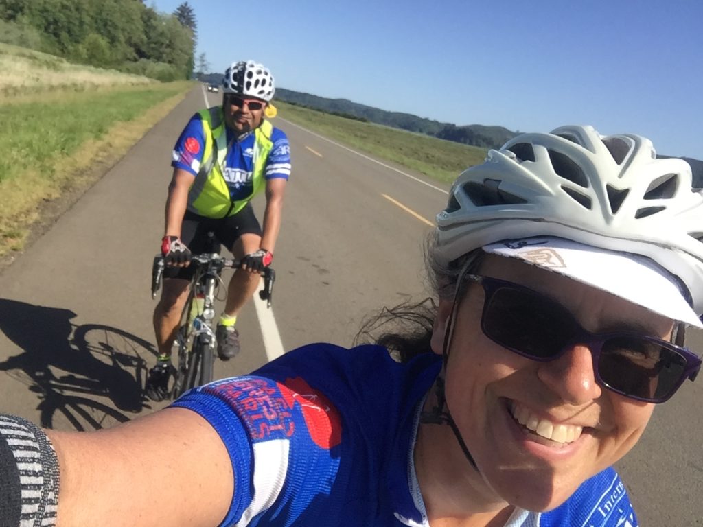
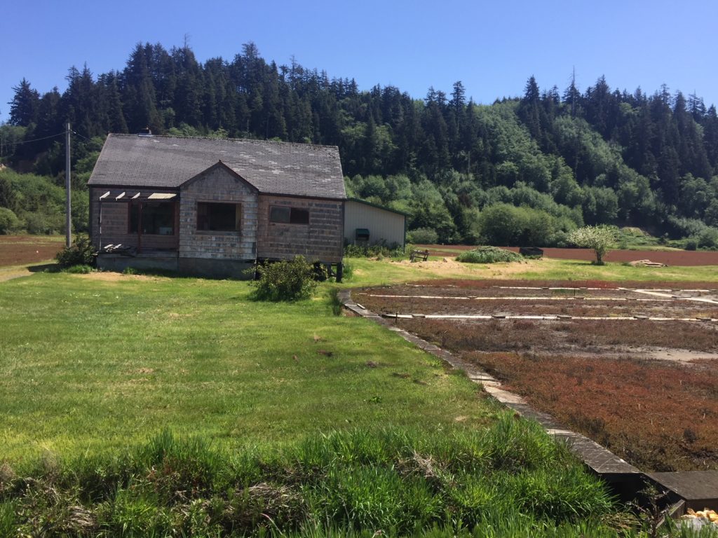
The day warmed up considerably at Raymond, where we stopped for drinks and a bathroom break. Josh and Ricky opted for a sit-down meal (on Mother’s Day), and bled time as a result. I had another prolonged low and Susan pulled me down the road for miles to the North Cove Grill in Tokeland. There she bought me ice cream and a Starbucks Doubleshot, useful arrows to have in your quiver on a hot day, or if you have had minimal sleep. The road flattens out after North Cove Grill, and the riding gets even more pleasant thanks to a beautiful turn onto quiet Smith-Anderson road which puts you past a whole lot of cranberry farms.

Tumbledown house in the cranberry fields just south of Westport (Photo: Susan)

We found Heather Road unmarked. It is the first right turn after the road becomes Lindgren Road, eventually dumping you to an unmarked turn onto Highway 105. The control arrives shortly after (the Shell / Subway stop).

Here I was taught the finer points of Buddhism by a rather enthusiastic local riding a mountain bike, who may or may not have had all his marbles together, much to the amusement of my riding buddies. He mentioned something about the three colours in the talisman he was wearing, something about the paths, and the monk in Aberdeen… but I am afraid I am a poor student.

We left with about nine hours to do the last 72 miles or so and set a good pace as the terrain relented and winds became favourable again. We took the trail to Cosmopolis and then Blue Slough Road, which is now open after the landslides of the past years. We took an extended break in Montesano, the heat bothering us, and then a few more breaks as we made our way to McCleary. The pavement on Monte–Elma is as bad as ever!

There were some routing issues for us in terms of missing signs that will be fixed up on the final cue sheet, and we found our turn onto Highway 8. [Update: Street names have been updated on RWGPS and cue sheet to match the real world.] The shoulder on Highway 8 was better than we remembered from February and we worked our way through Mud Bay. I thought that was the last climb—ha! In true SIR fashion, there are some hills before the finish. But I have applied (read: whined) to the powers that be that better routing may be found to the finish. [Update: We couldn’t get rid of all the hills at the end, but we did adjust the route to the finish to avoid some of the busier roads on which the preriders suffered. Please think of them while enjoying a quiet ride along Decatur Street SW.]

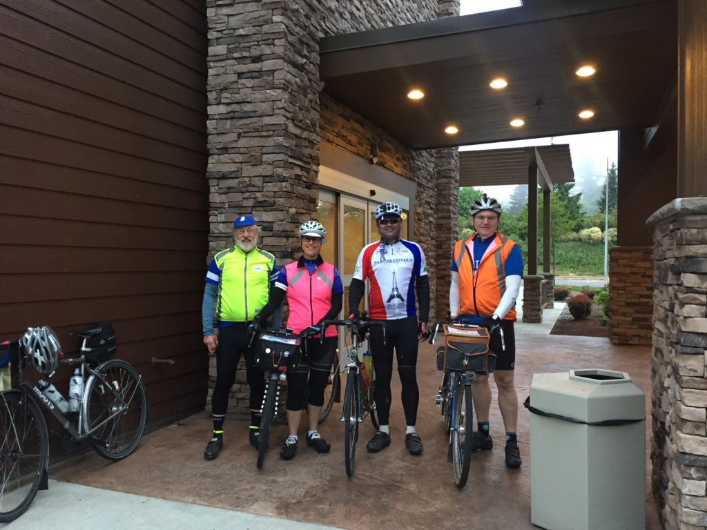
The Whole Fam Damily at La Quinta

Eddie Bishop showed up at the finish with pizza, beer, and G&Ts to welcome us in, and so did Mrs Morse, Ian, and Sierra. It was an awesome end to a wonderful ride.

HAVE A SAFE AND WONDERFUL RIDE, ALL!

Ride details and registration on the SIR website.

1 Comment

Filed under Pre Rides, SIR Rides

400K brevet – 5/14 Le Tour d’Hood Canal

by Joe Llona

13094244_805453366252040_3030815409099073836_n

Pre-riders: Jan Acuff, Joe Llona, Rose Pantley, Greg Cox, Albert Meersceidt, and Anita Schiltz

First, the pre-ride team must apologize to all of you good people. Apparently we were overly gluttonous with the good weather and used it all up. We were so bad that we even ran out of good weather before we finished and wound up riding in the rain the last couple of dozen miles as we finished after dawn on Sunday morning.

I  want to be clear about something: this is not an easy ride. It took a fairly strong pre-ride team nearly (or in two cases, over) 23 hours to finish. Now pre-riding has its own logistical issues and maybe a couple of hours could have been shaved off that. But it would not have been enough to catch the last ferry out of Bremerton Saturday night. Besides the difficult course this ride has some difficult logistics, such as parking in Seattle for more than 24 hours and ferry timing.

Parking – I strongly suggest you figure that out now and not Saturday morning. I must admit that even though I work in downtown Seattle I know little about parking there as it is something I find easier to just avoid altogether. Here are some suggestions you might research for parking options:

I would suggest finding a spot on the outskirts of Seattle and riding a mile or two into the ferry.

Ferries – The last ferry for Seattle leaves at 11:40 pm (not 12:50 am as I incorrectly reported on the website). Few of you will make that. The first sailing out is 6:20 am Sunday morning. Some of you will arrive in Bremerton during that gap, but many of you will still be riding when the ferries start running again. For those of you fortunate enough to get in during the ferry gap we will have two rooms available at the Fairfield Inn. This will be a rack and roll flophouse operation though, so if you feel you want some more privacy or want to sleep in I would encourage you to make your own arrangements.

Dropbags – We will be able to take small dropbags. We will not pick them up until you get off of the ferry in Bremerton though, so they have to be something you can ride onto and off of the ferry with. Think toothbrush and a change of clothes. Toothpaste and deodorant too if you insist. Post-ride, the dropbags will be available at the Fairfield Inn only.

Ok, so with the course difficulty and the logistical issues, why do you want to do this ride anyway? Well because you love to ride your bike of course, and this gives you the opportunity to do it for a very long time. Oh yeah, and there’s a definite WOW factor for some of this course. I’ve ridden the Tahuya hills many times, but it’s usually towards the end of an otherwise challenging ride and occasionally in the dark. On this ride you get a whole new perspective on this area because you’ll still have fresh legs and it’s a definite eye pleaser.

Pre-riders Take In The View

A rare bit of flat road, says Jan Acuff

You’ll start at Bremerton, but instead of rolling past the shipyard you’ll go east across the Manette Bridge. Do take note of the grade of this bridge as you descend across Dyes Inlet. After some rollers you get to Silverdale where you’ll have to take a detour off of Bucklin Hill Road due to a bridge reconstruction project. This will be noted in the final versions of the cuesheet and RWGPS file.

After Silverdale the real fun begins. First Anderson Hill with what looks and feels like a wall. After Anderson Hill is Seabeck where your first control (info) will be. Make sure you replenish your water in Seabeck because you’ll be climbing up Seabeck Holly Road shortly thereafter. After an exhilarating descent from Holly you’ll be turning up Dewatto Road and into the Tahuya Hills.

After you descend from the Tahuya Hills you’ll get to the second control at Kay’s Corner. There you will be able to water up before heading to Belfair. As you get nearer to Belfair you’ll start encountering some denser traffic and probably some impatient motorists, so please be careful. After Belfair you’ll head south on SR 300 where some road construction has made the shoulder of little use, so again please be careful. After a few miles you’ll turn onto SR 106 where for a while you’ll still be encountering heavy and sometimes impatient traffic. This seems to calm down by the time you get to Twanoh State Park, where you can find restrooms and water. The shoulder on 106 is on again off again, with a few places where there are some pretty bad cracks. There’s also a lot of parking on 106 so watch out for residents and car doors.

When you get to US 101 you’ll turn north to Hoodsport. There are services along the way. Please make sure you have full water bottles for the Climb to Lake Cushman. At Hoodsport you turn up to Lake Cushman. This is the biggest climb of the ride. The first two miles of the climb are fairly steep running at over 6% but then it transitions to 1% to 3% with some rollers for the remainder. As in last year’s 400 at Baker Lake, we could not find a suitable location to station the third control at the far turnaround point, so that will be turned into an info control with support (snacks and beverages) available about 3 miles after the turn-around point. After this you will descend back to Hoodsport among some more impatient motorists and then continue north on US 101 over Walker Pass. Like the climb to Lake Cushman, Walker Pass starts out steep at about 6% the first 1.5 miles and then tapers off to more like 3% for the remainder.

Pre-riders at Lake Cushman

Lake Cushman. This beautiful spot will be the lunch/control location. Photo by Anita Schlitz

Another view of Lake Cushman. Photo by Jan Acuff

Another view of Lake Cushman. Photo by Jan Acuff

After descending Walker Pass you’ll go through Quilcene. Peninsula Food Market on the left and a couple of cafes on the right. Here you turn onto Center Road to the right for another climb up to Dabob Road. More climbing and rollers bring you to Coyle. Make sure you don’t miss the left turn onto Hazel Point Road. It’s easy to miss as you bomb down the descent towards Coyle, especially in the dark. Your fourth (and final staffed) control will be here to provision you with hot soup, and other snacks and beverages at the Laurel B. Johnson Community Center.

The Laurel B. Johnson Community Center fills several roles in the community, one of which is a food bank, which is utilized by a surprising number of the local residents. You’ll still have a lot of climbing ahead of you so you might want to lighten your wallet a bit at the collection jar we’ll have set up there.

With your wallet a bit lightened and your belly filled you’ll climb back out of Coyle and backtrack your route a way before turning onto Thorndyke Road which will take you to SR 104, then to SR 19 and into Port Townsend. The final control is at the Safeway on your left at the bottom of a big hill. Not much happening there, but at least it’s open, there are restrooms and groceries, but nothing hot at this hour.

Backtracking again from Port Townsend you’ll turn off of SR 19 onto Irondale, SR 116, Oak Bay Rd, and Paradise Bay Road. Please be careful on the final descent of Paradise Bay Road before SR 104. There are two sets of rather aggressive stop sign warning rumble strips that could cause you to lose control of your bicycle.

Also, please be careful crossing the Hood Canal Bridge. Stay to the right of the shoulder as you approach the metal grating sections as that’s where the solid plating is located. Watch for debris – glass, garbage, and usually enough car parts to get a complete build.

After the Hood Canal Bridge you go right onto SR 3 for Poulsbo. Then SR 308 and onto Brownsville Hwy NE. After a few miles on Brownsville Hwy you’ll turn onto Illahee Rd NE. The signage here is misleading (at least it is for me as I repeated the same mistake I made in 2013 on this course). Illahee Road is the second left as you roll into Brownsville. Don’t take the first left down into the Marina.

Following Illahee Road you’ll go south towards Bremerton. You’ll still two pretty good climbs ahead of you, particularly the one just before Illahee Road becomes Trenton Road. As you get into Bremerton you’ll be feeling that you’ve done that last climb, but remember that descent on the Manette Bridge right after you started?

This post wouldn’t be complete without a big Thank You to the pre-riders: Albert Meersceidt, Anita Schiltz, Jan Acuff, Rose Pantley, and Greg Cox.

Start:  May 14th at 7:15am Bremerton Starbucks at the ferry terminal. (Catch the 6am ferry from Seattle and finalize registration on board. We will also have registration at the Starbucks at the Bremerton ferry terminal. Note the control closes at 8:15am.)

Finish: Frairfield Inn & Suites 239 4th St. Bremerton

Register here: http://brevets.seattlerando.org/register_for_event/355

Full ride details here: http://seattlerando.org/index.php?option=com_content&view=article&id=573:400k-brevet-514&catid=59:2016-brevets

1 Comment

Filed under Pre Rides, SIR Rides

Pre-Ride Report: 400/600K , June 13-14

by Susan Otcenas

The “Big Picture” summary of the ride is that while not an easy course by any measure, it is definitely doable even by randonneurs of modest ability.   The key to success is not pushing too hard on the first day, pacing yourself on all the climbing early in the ride, and exercising control efficiency to gain as much time in the bank as possible heading into the overnight.    While Day 2 is quite a bit easier than Day 1, I nonetheless recommend leaving the overnight with 30-45 minutes in the bank.  The hilliest bits come at the beginning and end of the day.

effyeah, Mt Rainier!

#effyeah #600k #MtRainier photo by Susan Otecenas

Keith Moore and I pre-rode the 600K on May 30/31.  Jan Acuff & Audunn Ludviksson pre-rode the 400K on June 6th.  Many thanks to the three of them for vetting my cuesheets, setting up info controls and providing feedback on the routing.

The 400K is substantially similar to the first loop of the 600K, with the “extra” miles need to bring it up to 400K accomplished on Hwy 12 west of Randle.  400K riders should read the 600K Day 1 summary for all of the relevant information.

Links for GPS data and Cue Sheets here:

(RWGPS 600K Day 1 )   (RWGPS 600K Day 2 )   (Cue Sheet 600K)
(RWGPS 400K)   (Cue Sheet 400K)

600K Day 1: 240 miles (386km).  10,500-11,500 feet of gain, depending upon your GPS.

Registration will be from 4:00 to 4:45am INSIDE the IHOP adjacent to the Motel 6 at 1885 15th Place NW in Issaquah.  Look for me and William Willaford inside.   Pre-ride instructions will be given in the parking lot outside the IHOP at 4:50am.  You may leave a small overnight bag with me for safe keeping in the control room. [See end of post for information about parking — ed. ]

Riders will depart at 5am, at which point the sky will already be surprisingly light.   You will spend several miles on the Cedar River Trail and the Cedar to Green River Trail.  The Cedar to Green River Trail is gravel.  Gravel generally makes me nervous, but I did just fine on 28mm tires.  Note that the gravel is a little looser at underpasses, so use caution.

Clever routing right past Sandys Espresso just in time for breakfast. You can thank me later. Photo by Susan Otcenas

Clever routing right past Sandys Espresso just in time for breakfast. You can thank me later. Photo by Susan Otcenas

It’s an easy ride to Enumclaw, your first control.   We used the expedient Chevron option.  Other than the Chevron, I think there is a coffee stand a few blocks later.   There are also a few restaurants at the corner of 410 at mile 29.5 if Chevron doesn’t tickle your fancy.

Over the next 40 miles you will climb about 4000 feet.  We highly recommend you carry three bottles. You’ll find services in Greenwater at mile 47, and there are some campgrounds beyond that which may have water (but we did not investigate).  We stopped at Greenwater to top off.   I had enough water in my bottles to make it to Packwood at mile 93, but Keith was running low between the summit and Packwood.

Cayuse Pass comes at mile 69, at which point you will have climbed roughly 5500 feet.  DO NOT PANIC if you are behind the clock a little.  You will make it up on the way into Packwood, which is 3500 feet below you.  (For reference, Keith & I had roughly 45 minutes “banked” at the top of Cayuse, and no one ever accused me of being a nimble climber.)

Don’t be fooled into thinking it’s ALL downhill from Cayuse Pass to Packwood.   There are a few smaller hills to climb after the first big drop.   We had a tailwind climbing to Cayuse and then a surprisingly stiff headwind for much of the descent and then into Packwood.  While the road surface is generally alright, some sections of the descent were surprisingly bumpy.

The expedient stop in Packwood is at the Shell on the right.   Departing Packwood, you will head west on Hwy 12 for 10 miles (we had a stiff headwind) and then get relief from the traffic by following Silverbrook the rest of the way to Randle.  600K riders will answer an info control question in Randle, while 400K riders will continue on west on Hwy 12 from Randle to an info control a few more miles down the road, and then back to Randle, to get the extra distance required to bring the day up to 400Km.  There are services in Randle.  600K riders may not need them, but 400K riders would be advised to fill up their water bottles as there are no services after Randle until returning to Packwood.

From Randle, you’ll ride Cispus Rd, then head east on the delightfully shady and delightfully traffic-free Cline Rd, where there’s another info control question to keep you honest.

"2nd time through Packwood at mile 129. Big miles call for big shakes." Photo by Susan Otcenas

“2nd time through Packwood at mile 129. Big miles call for big shakes.” Photo by Susan Otcenas

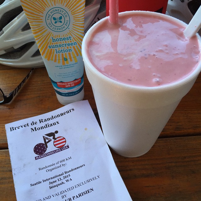
Packwood is once again a control on the return.  If you are shy on time, you’ll probably want the Shell again.  Keith and I didn’t have oodles of time in the bank, but wanting something a little more solid, we opted for the burger and milkshake place on the right.   The milkshakes are handmade with fresh berries and plenty of ice cream.  That plus some salty fries to go in the handlebar bag made me a happy camper.    Keith came to regret his decision to eat a burger while climbing Skate Creek a short time later.  Let your stomach be your guide.

Skate Creek is a long climb, gaining 1500 feet, but it’s gently graded.   You’ll also find it blissfully shaded and extremely low traffic.    There are no services between Packwood and Ashford (grocery store on left) at mile 154 (163 for the 400K riders), so be sure you have enough water on board.  There are additional services in Elbe beyond that, though if you are a slower rider you might just find restaurants still open.  The store was closed when we arrived.

Please use caution and ride single file on Alder Cutoff Rd on the way to Eatonville.  It’s narrow and without much shoulder, which makes it somewhat stressful.  Audunn and Jan had several motorists yell at them on this stretch, though Jan did allow as one of those yelling motorists was making a complimentary statement about the shape of her derriere.  Audunn also had the novel experience of having a passenger attempt to pee on him from the window of a moving vehicle, so there’s that to add to your bucket list as well.

Continuing the Tour de Shell in Eatonville, we took time to put on our reflective and get ready for nightfall here.  It was still light for us, though slower riders may find themselves here after sunset.

20 miles after Eatonville, you will make the unsigned turn onto WA-162/Pioneer way.   There’s not much shoulder and there was more traffic than I was expecting at that hour (10pm ish).   Please use caution and ride single file!  Fortunately, you will only be on that road for 2.4 miles before the safety and serenity of the Foothills Trail.

Although not a control, you’ll likely want to stop, as we did, in Enumclaw, where you will find plenty of services on route.  At Hwy 410 there are several fast food options, and a 24 hour Safeway.   We brought our bikes into the Safeway and dined in great luxury while lounging on the mobility scooters.    After Enumclaw, there’s not much in the way of services until the overnight in Issaquah, though I recall an open Texaco somewhere along the line.

There is one last info control on Cumberland Kanasket Rd, and we made sure to create a question that would be easy to answer in the dark.

Look for the SIR control sign when you get back to the Motel 6.  I’ll post my room number on the sign.  Due to limited facilities (read: the mini fridge and microwave in my room) we will not be serving full-meal-worthy fare.   We will, however, have plenty of drinks, snacks, fruit, and enough pizza for you to feel satisfied.   If you have enough time banked, however, you may wish to avail yourself of the IHOP immediately next door.   Service is fast at oh-dark-thirty and they are open 24 hours on the weekends.  I also let them know we would be there, so with any luck they will have extra staff on hand.

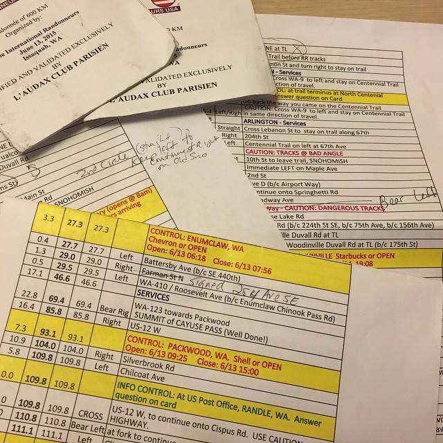
"One of the pleasures of doing a pre-ride is taking the time to annotate the cuesheet as you go so that the event's riders can have the best possible experience. This course is a beaut and I hope to see lots of riders in 2 weeks!” Susan Otcenas

“One of the pleasures of doing a pre-ride is taking the time to annotate the cuesheet as you go so that the event’s riders can have the best possible experience. This course is a beaut and I hope to see lots of riders!” Photo by Susan Otcenas


600K Day 2: 135 miles (217km).  3,000-4,000 feet of gain, depending upon your GPS.

We recommend you leave the overnight with 30-45 minutes in the bank if possible.

Within the first mile, you will curse my name.  Repeatedly and loudly.    There’s a stupidly steep hill to climb.   Just accept right now that you will walk it.   Jan said it’s OK to walk the hills; apparently all the cool kids are doing it, so you are absolved of any guilt.

Issaquah – Fall City Rd is undeniably bumpy but once you get over the early set of hills, you’ll drop down into the valley and have a pancake flat ride to Carnation.   The control is open, so use the (24 hr) Shell, or do what we did and head down the road a little further and have coffee and 2nd breakfast at Sandy’s Espresso (on right, open at 7am).  You can have 3rd breakfast during the next control at the Snohomish Bakery.  24 hour riders who come through Snohomish in the middle of the night may use the 24hr 7-11 a few blocks off-route at 2nd & D as a control.

After Snohomish, you will do a looooong out-n-back on the Centennial Trail.  Arlington is a good place to use the restrooms (public restrooms right on the trail) and fill your bottles in both directions.   There’s an info control at the North Centennial Trailhead turnaround.

There’s no control when you swing back through Snohomish, but we stopped anyway, to tank up before the hilly section to come up Broadway.  The milkshakes at the Pilchuck Drive-in in Snohomish are worth the stop.

You won’t likely enjoy the hills bits on Springhetti/Boadway/Bostian etc, but take heart in knowing that when you finish them you’ll be nearly done with the climbing for the day.   When you zoon down into Woodinville there are plenty of food options for the penultimate control.

Leaving Woodinville, you’ll spend quite a few serene miles on the Sammamish River Trail and the Marymoor Connector Trail.  After a short stretch on the East Lake Sammamish Trail, you will be forced to leave the trail where it’s closed due to a paving project. (I walked the hill to get back up to the roadway.  No shame, people, no shame.)

The final tricky instruction comes just 2 miles from the end at the traffic circle on E Lake Sammamish Parkway. Locals probably know this turn, but as an out-of-towner I think it’s easy to miss.   As you enter the traffic circle, follow the bike markings up on to the circle sidewalk.   This will lead you onto the bike/ped path that parallels the Parkway, which is high speed and has no shoulders on this stretch.

When you return to the Motel 6, come back to the same control room at the Motel 6.   We will be there to help you celebrate your successful completion of the ride!

If you have any questions, please don’t hesitate to ask.   See you soon!

photo Keith Moore

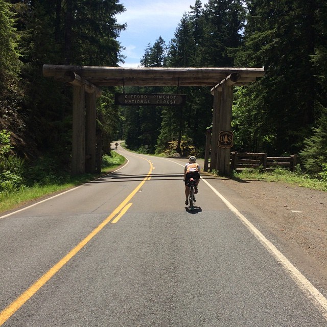
Susan rides into the Gifford Pinchot National Forest. Photo Keith Moore


PARKING:

600K riders: Park at the Motel 6. At sign-in I will ask you for your license plate number, and will turn those in to the front desk. PRIORITY WILL BE GIVEN TO 600K RIDERS WHO PRE-REGISTER. If you turn up to ride the 600K but have not pre-registered, I can not guarantee you either a parking spot or a place to sleep. (The control room will NOT be available for you to sleep in/crash in. It’s a small room, has a hard uncarpeted floor, and the single bed will be used by the workers who are staying up all night to take care of riders coming and going). Pre-register here for the 600K.

400K riders: there are lots of towing signs in the Motel 6 parking lot. I have no idea if they enforce it, but I probably wouldn’t chance it. Instead, you might consider utilizing a space in the HUGE parking lots in front of Costco, Lowe’s etc just to the East of the motel. A scan of the area doesn’t indicate that there’s much in the way of on street parking in the area, but if you have a favorite spot, please share the information. Thanks! Pre-register here for the 400K.

Comments Off on Pre-Ride Report: 400/600K , June 13-14

Filed under Pre Rides, SIR Rides