Tag Archives: 2025

2025 Summer 600K Pre-Ride Report

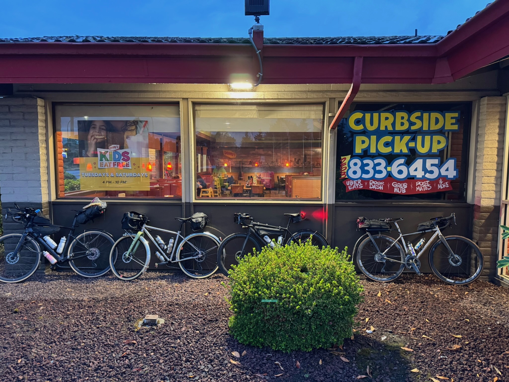
Text by Sharan Daniel, photos by Sharan Daniel, Jason Hansen, Mitch Ishihara, Keith Moore, and John Nguyen

This brevet updates RUSA route #756, which some riders remember fondly from 2013. The first day, 383 km, takes you to the coast and back to Centralia. The second day, 220 km, takes you into mountains with stunning descents and lakes. While you pass through some remote areas, there are services about every 50 km, with an exception or two, as noted below.

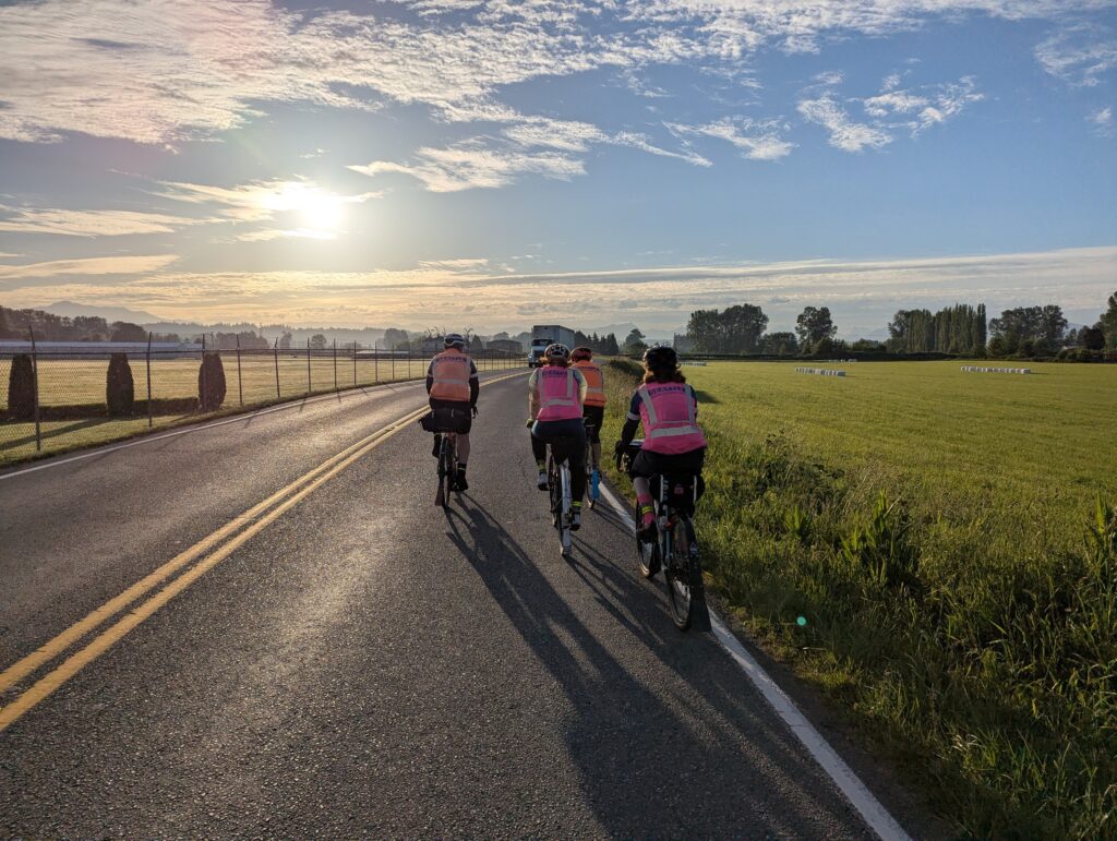
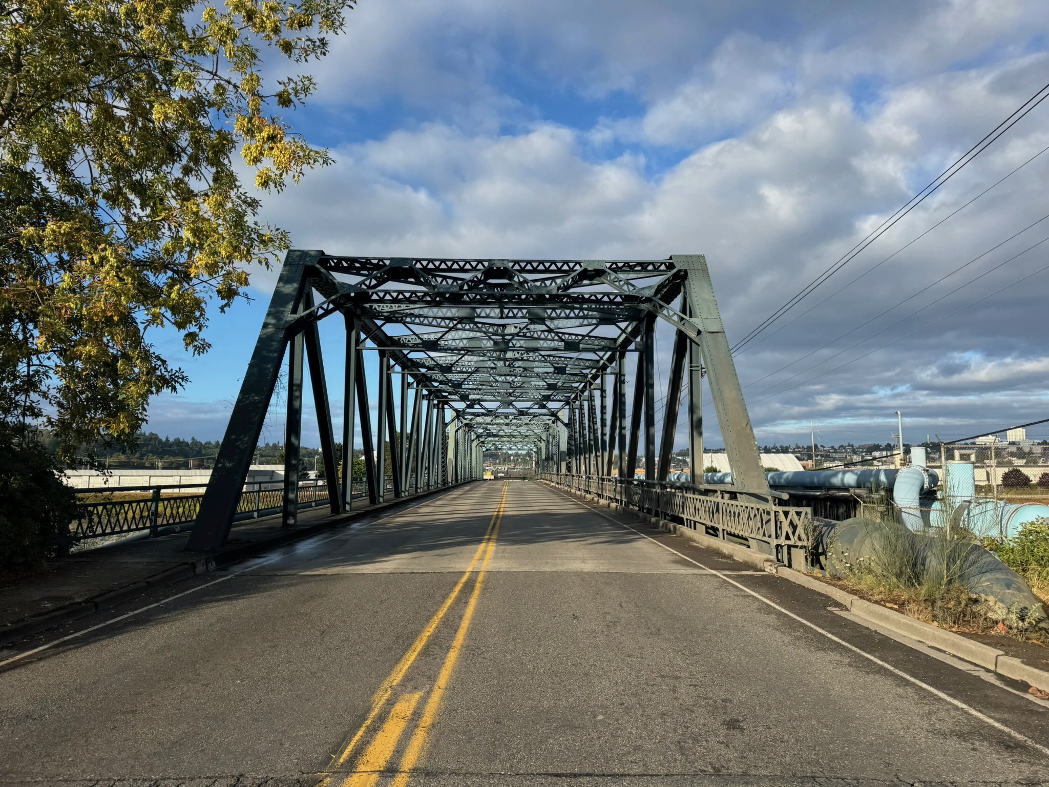
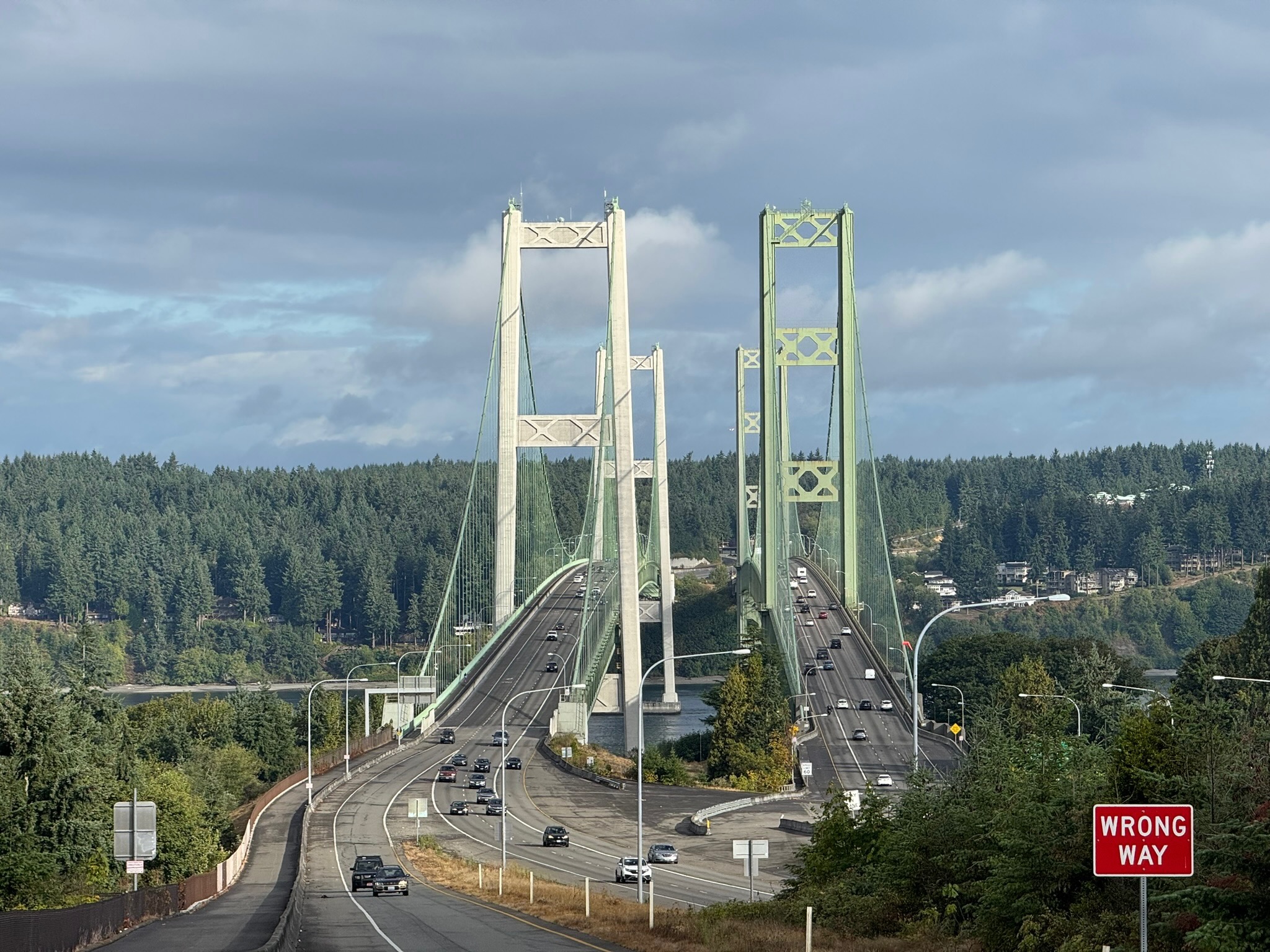
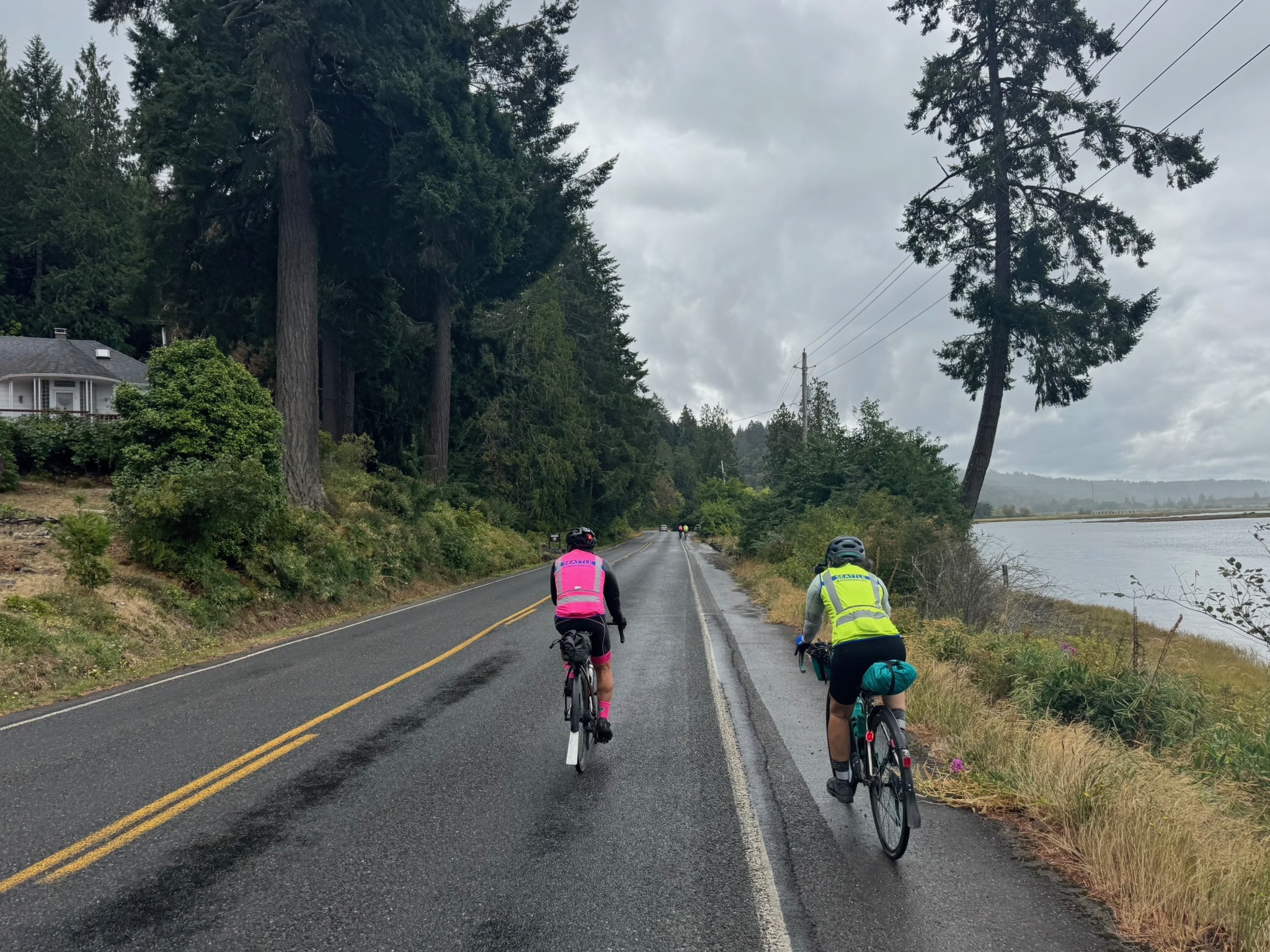
The ride starts at Denny’s in Auburn, where you can fuel up before heading out. Warm up on the Interurban Trail down to Pacific, then follow the Puyallup River to the outskirts of Tacoma. There are some twists and turns between km 19 and 21, as you cross the river twice, and another odd loop between km 32 and 34 as you make your way to the Lincoln Bridge, the best biking alternative to the Fishing Wars Memorial bridge that is now closed. Enjoy one more river crossing into Tacoma and and take in the quiet Saturday morning urban waterfront scene. Finish your first 50 km by crossing the grand Tacoma Narrows Bridge into Gig Harbor. You’ll pass a park restroom with water at 53.3 km.

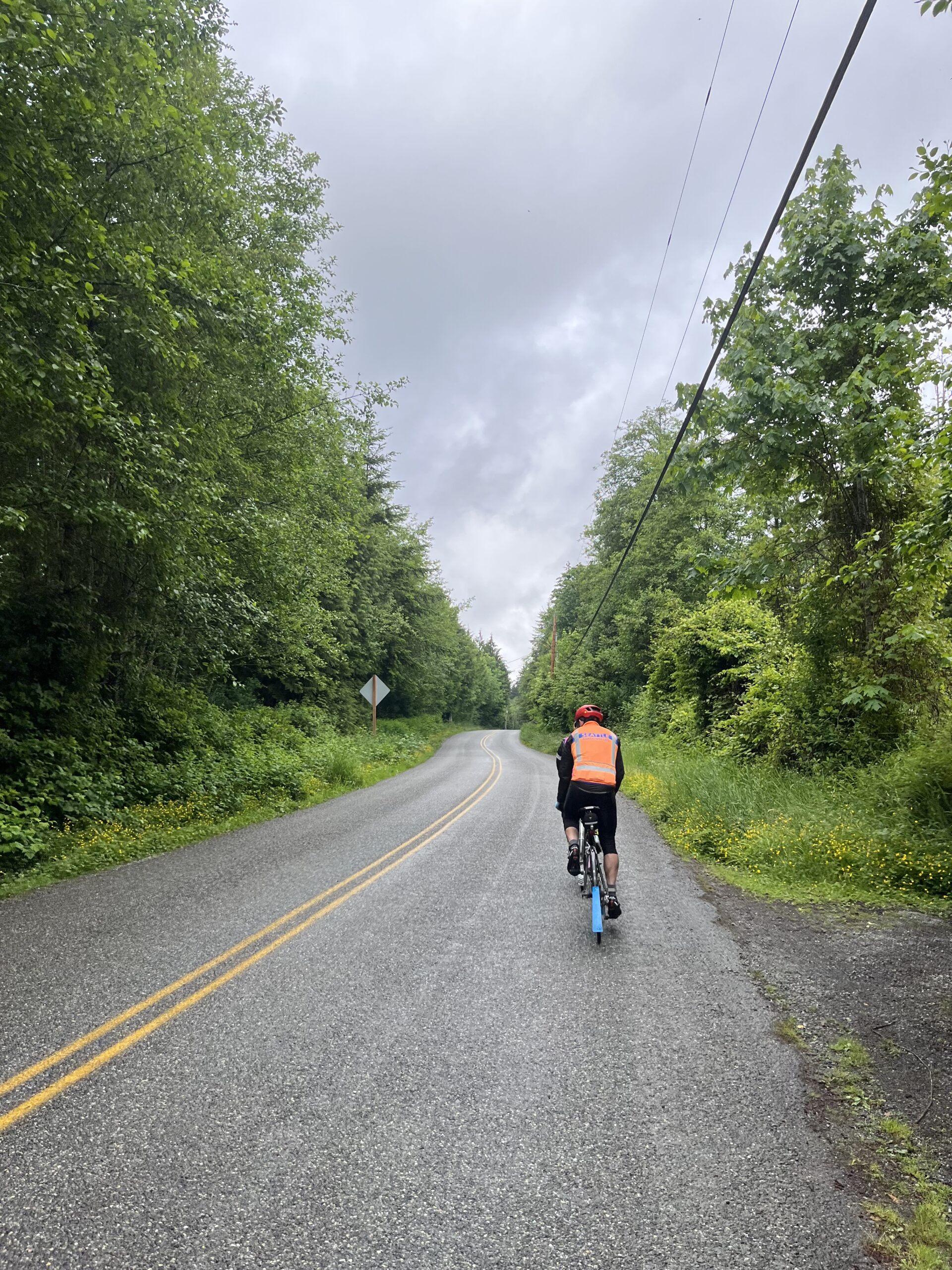
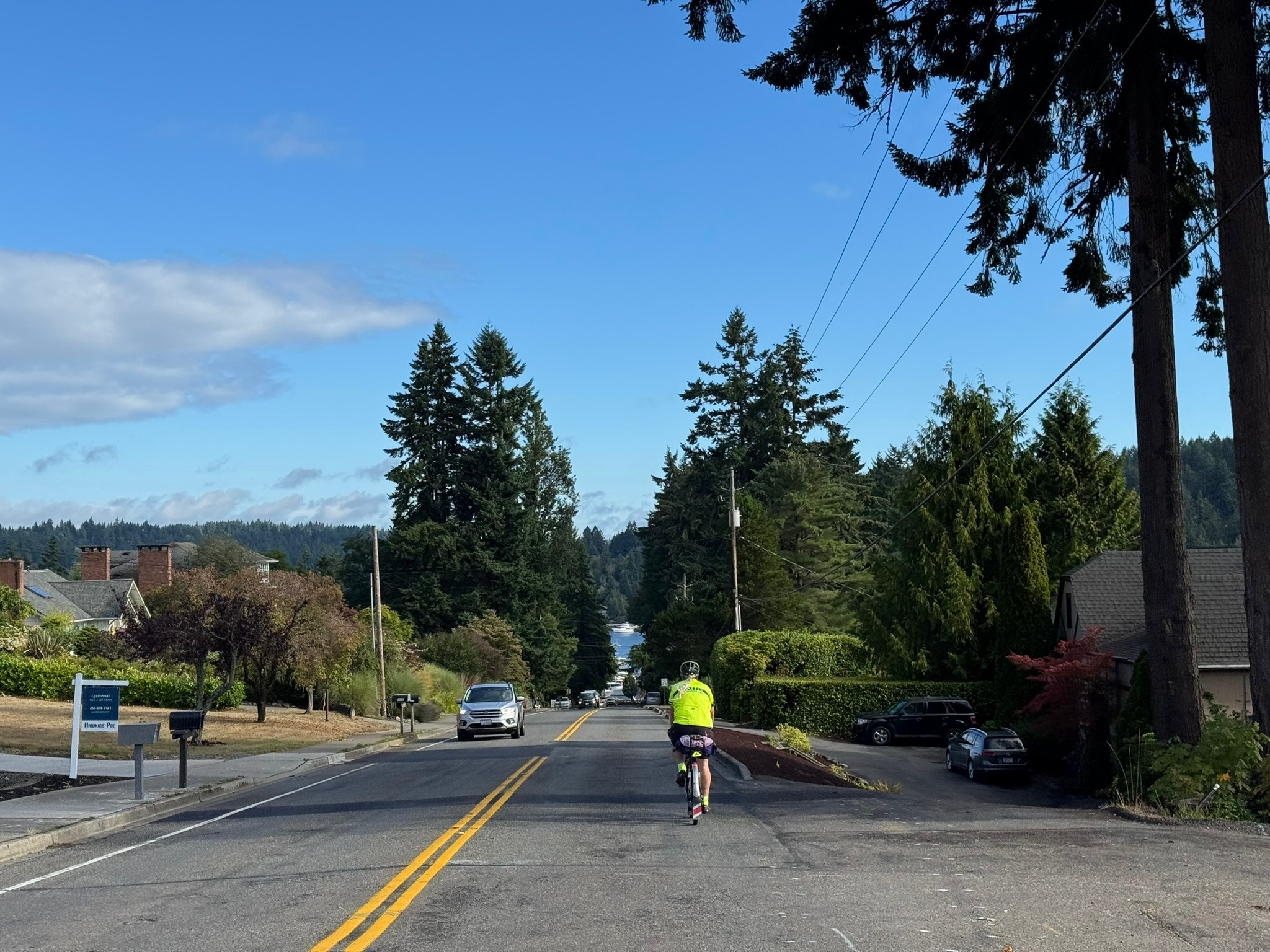
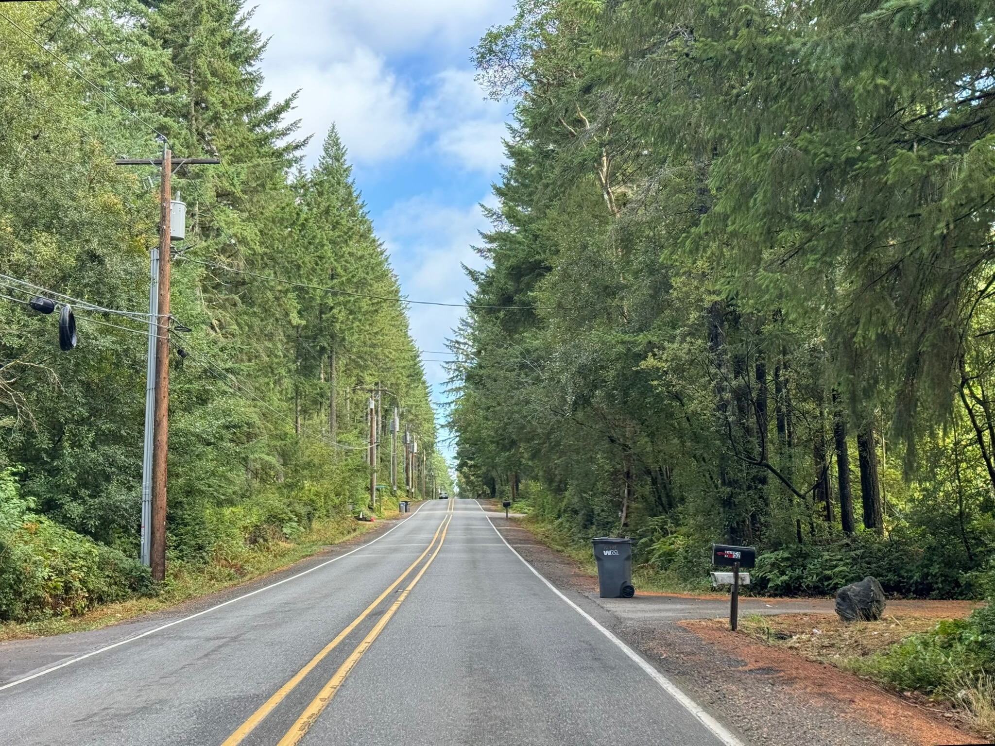
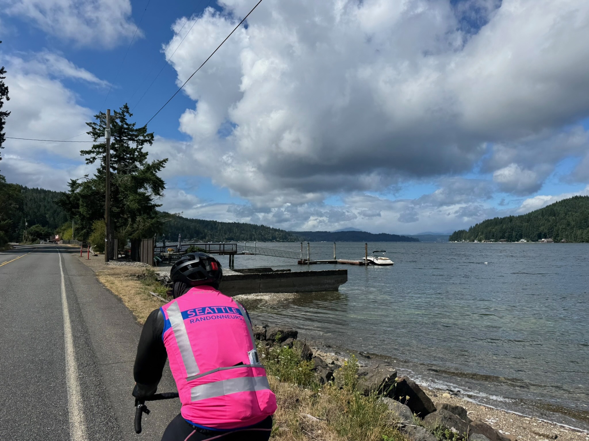
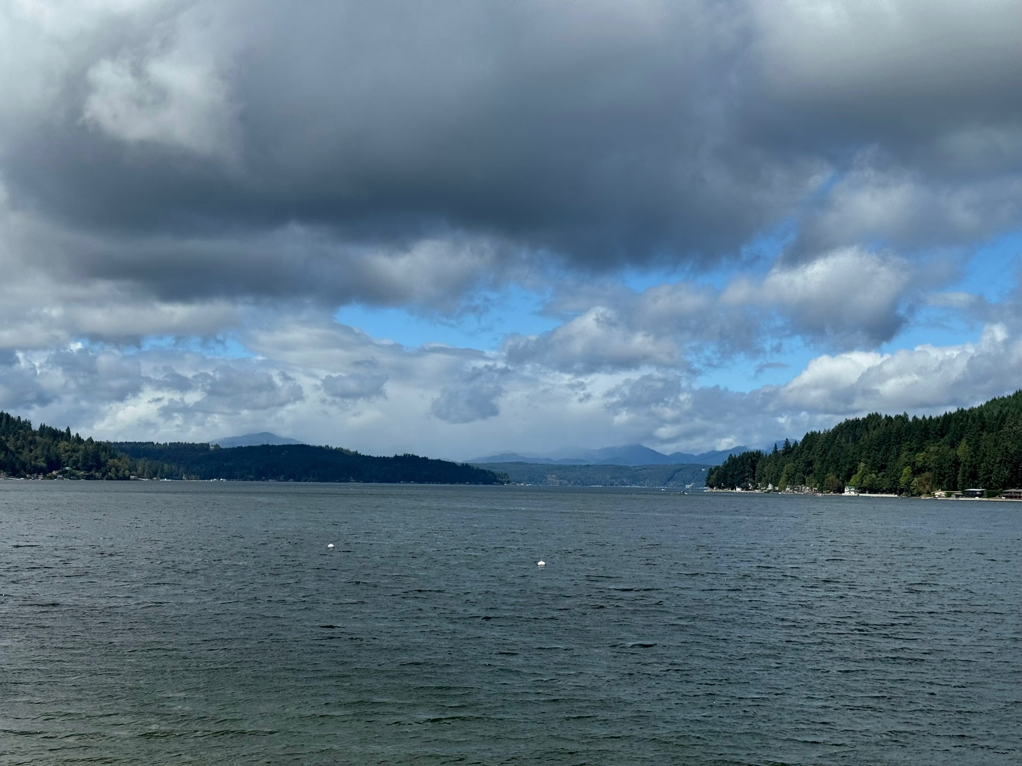
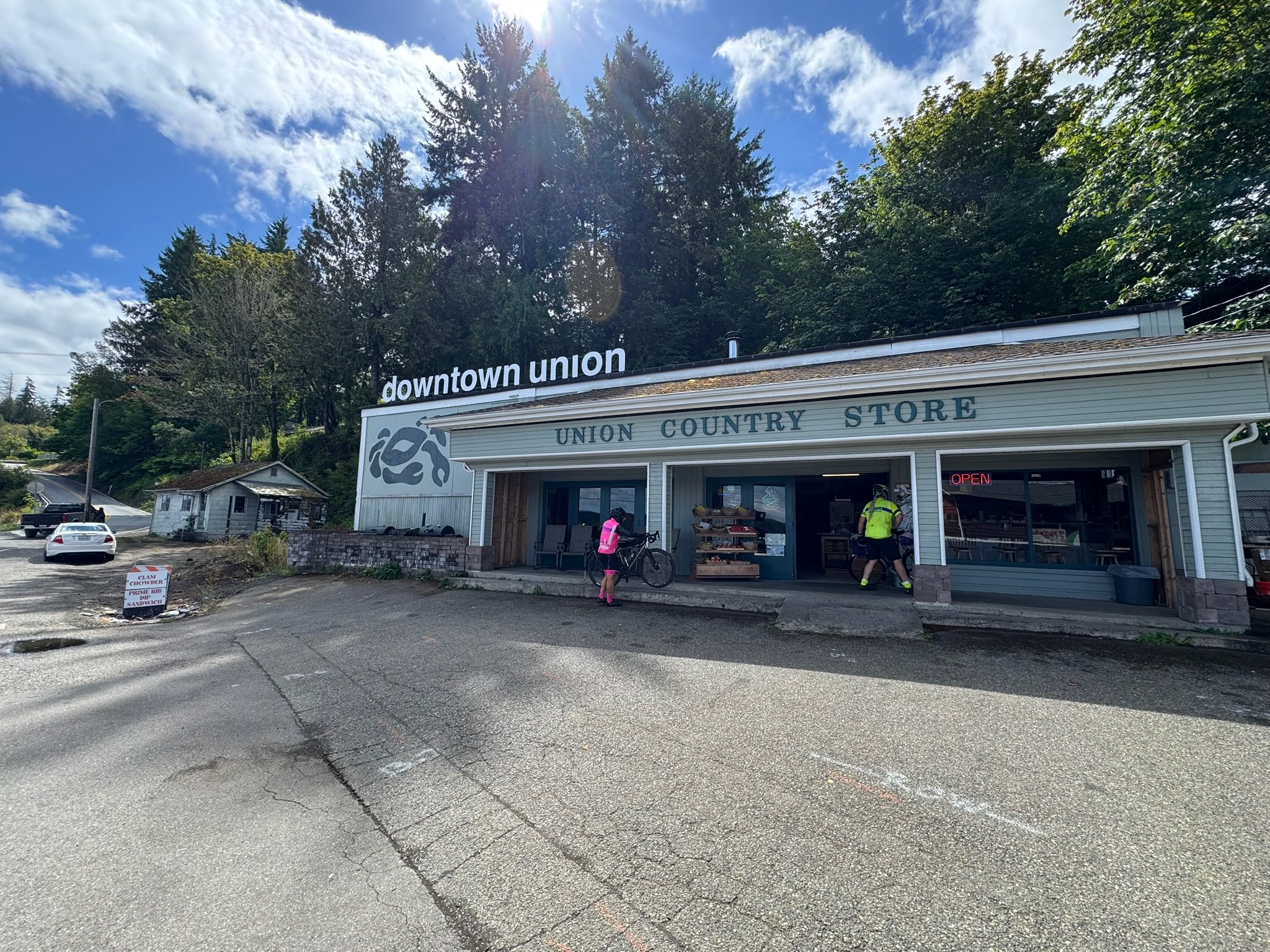
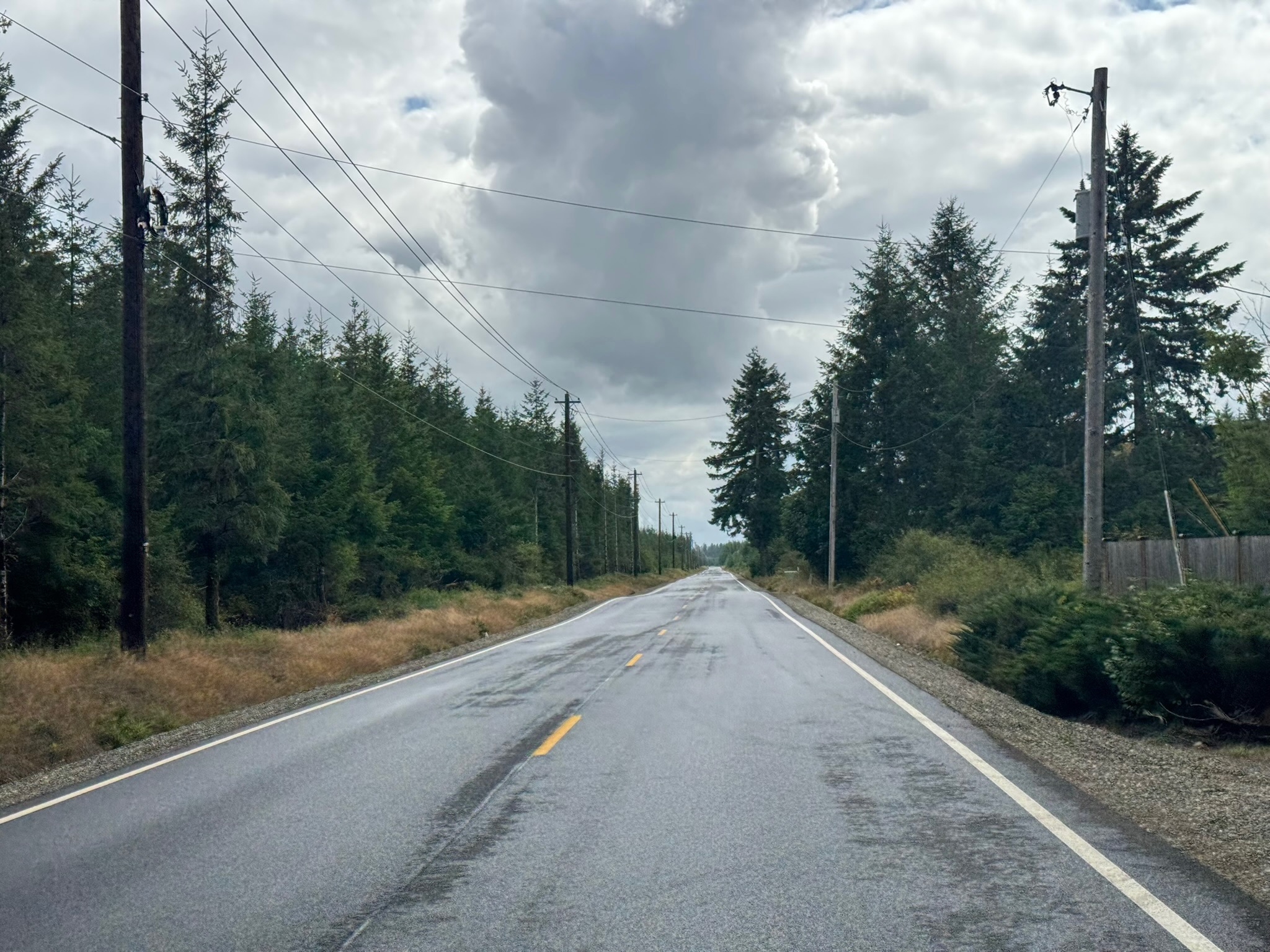
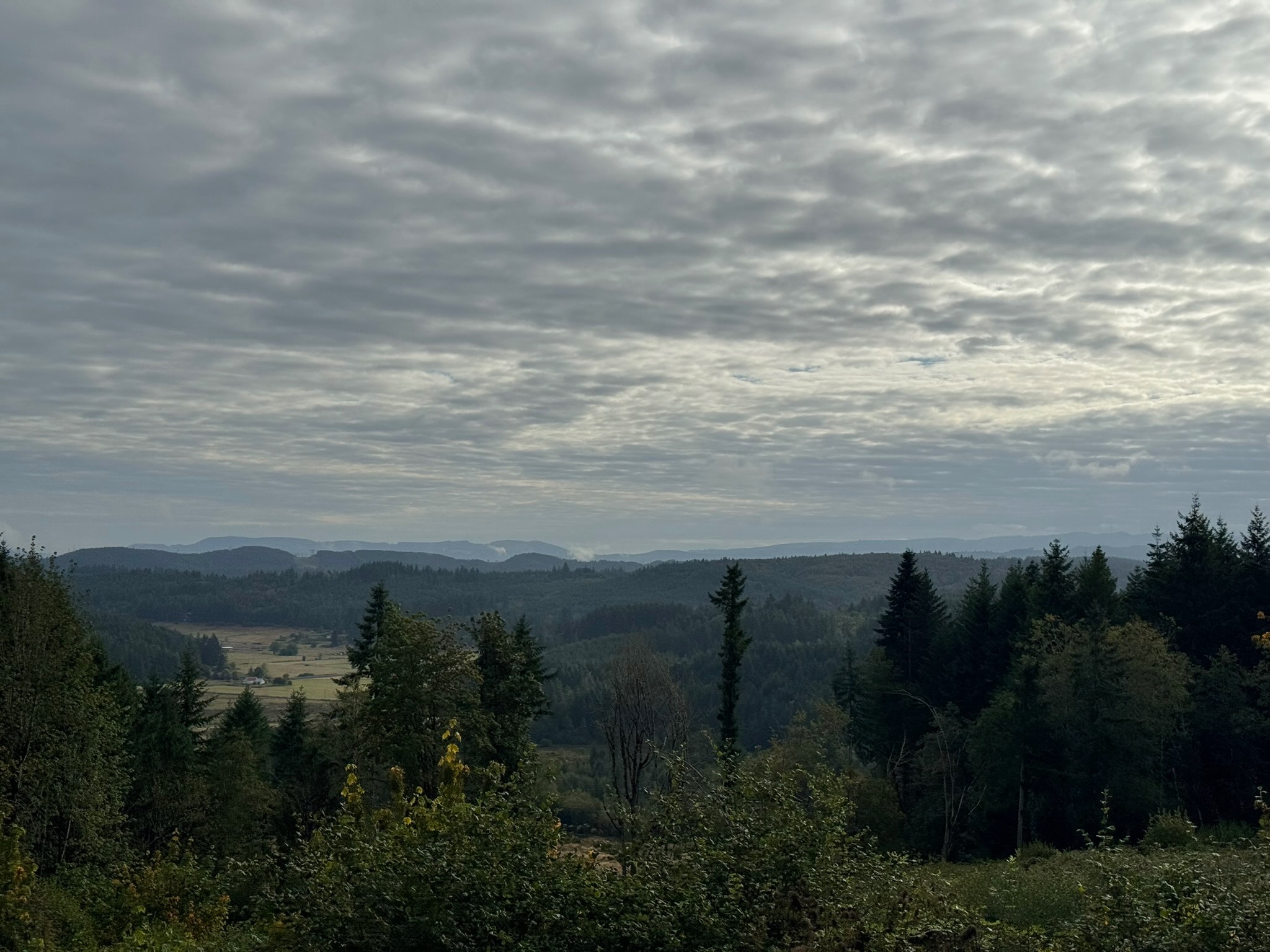
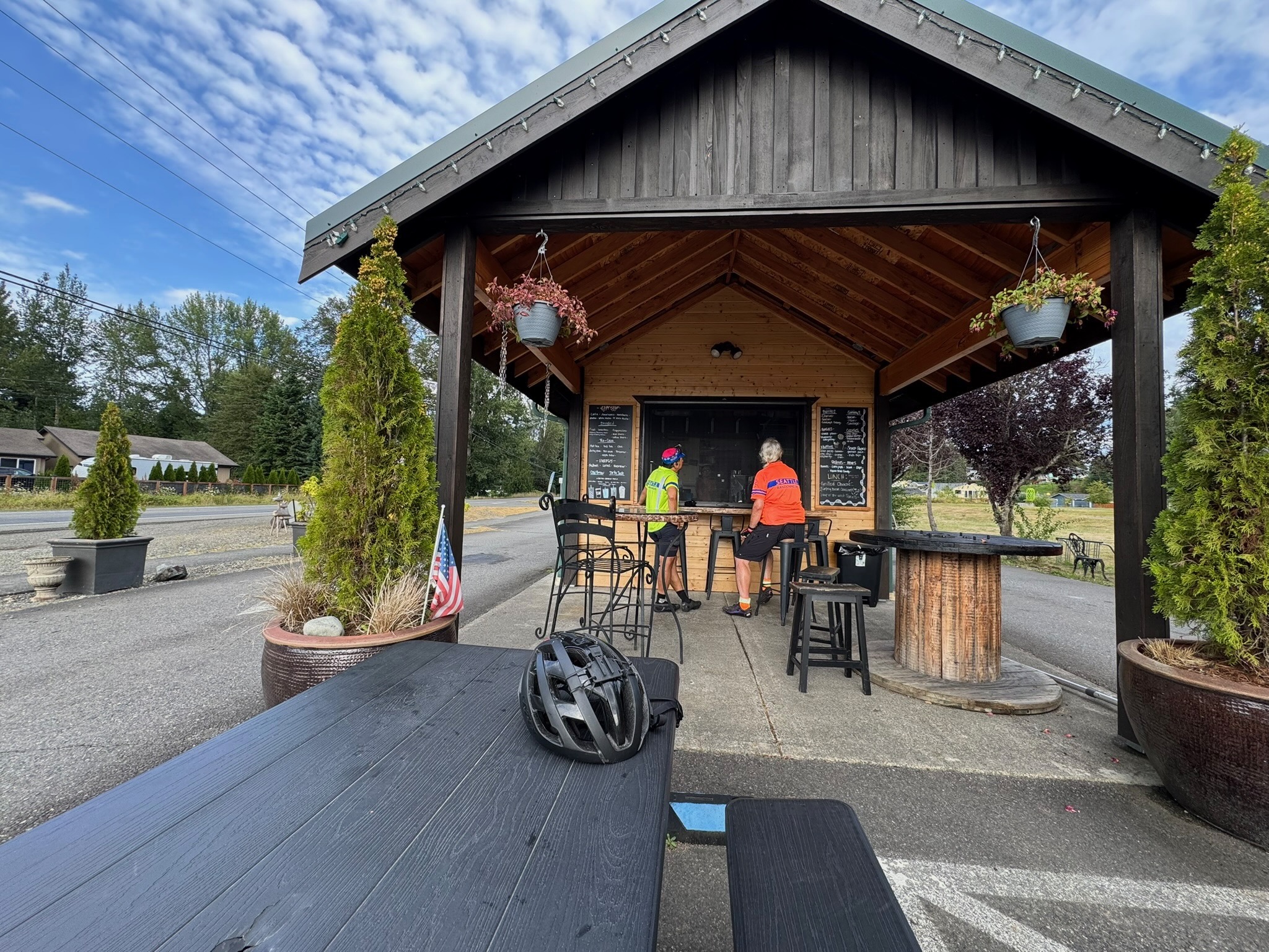
Quiet roads take you over to WA-3, which leads to Belfair and south along the Hood Canal. You’ll find a few options for food, water, and restrooms along this stretch, starting with the control at Belfair, Sandi’s Deli Mart (91 km), and ending with the Union Country Store (117.5 km), a pre-riders’ favorite for its tasty offerings. Follow WA-106 until you reach Purdy Cutoff Rd at 123 km. The road is forested and pretty, but traffic is fast; ride single file here. At km 127.4, take your time as you make a left onto US-101: more fast traffic here, and lots of it. Relief comes 5 km down the road, as you turn west. If you need a break or water, there is the small Dayton Store at 141.6 km. Another 15 km away is the Matlock General Store, with kind staff and a clean restroom; it’s also the control marking your turn south.

Brady Food Mart is at the turn west into Montesano at 186 km; it has a portable toilet. A little less than 10 km into town are a Chevron station (24 hrs) and the Fishin Hole restaurant (closes at 8:30 p.m.).

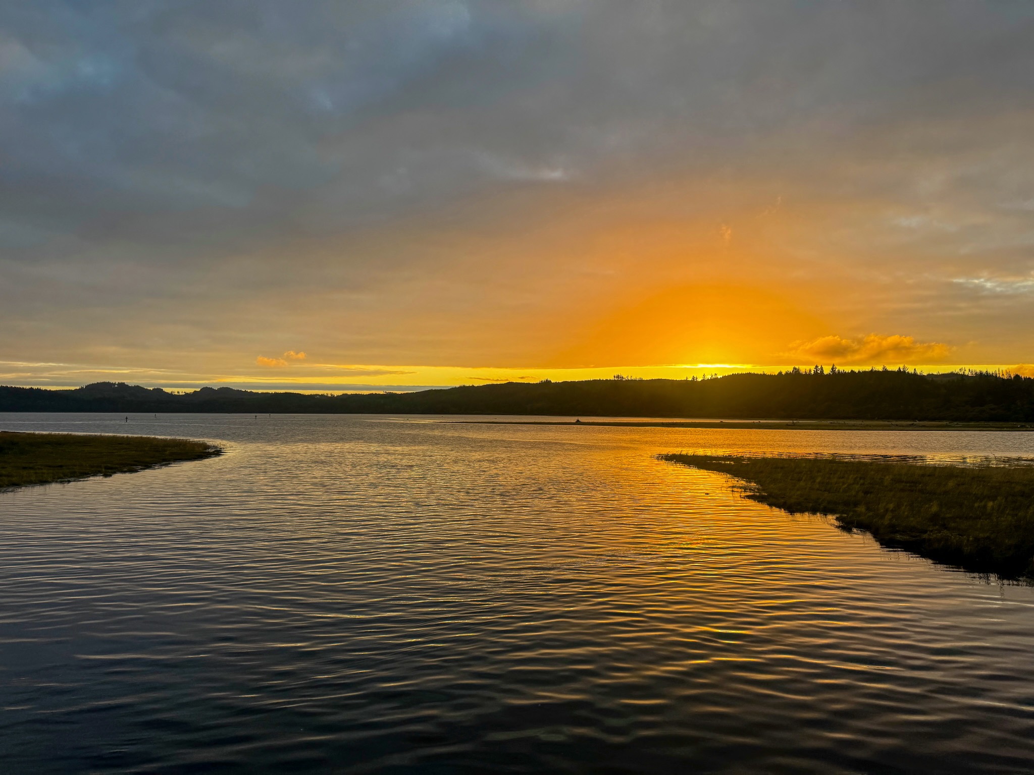
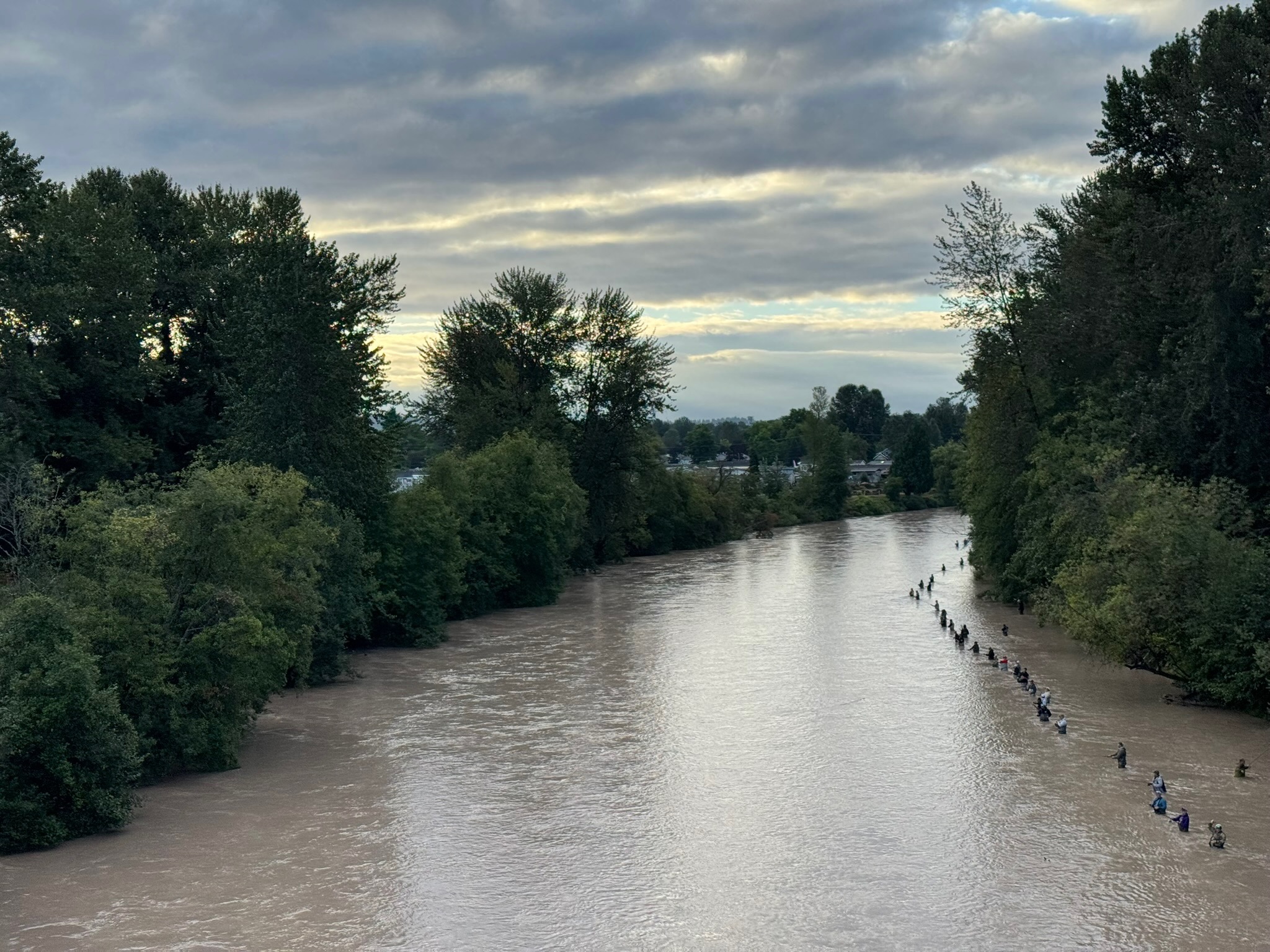
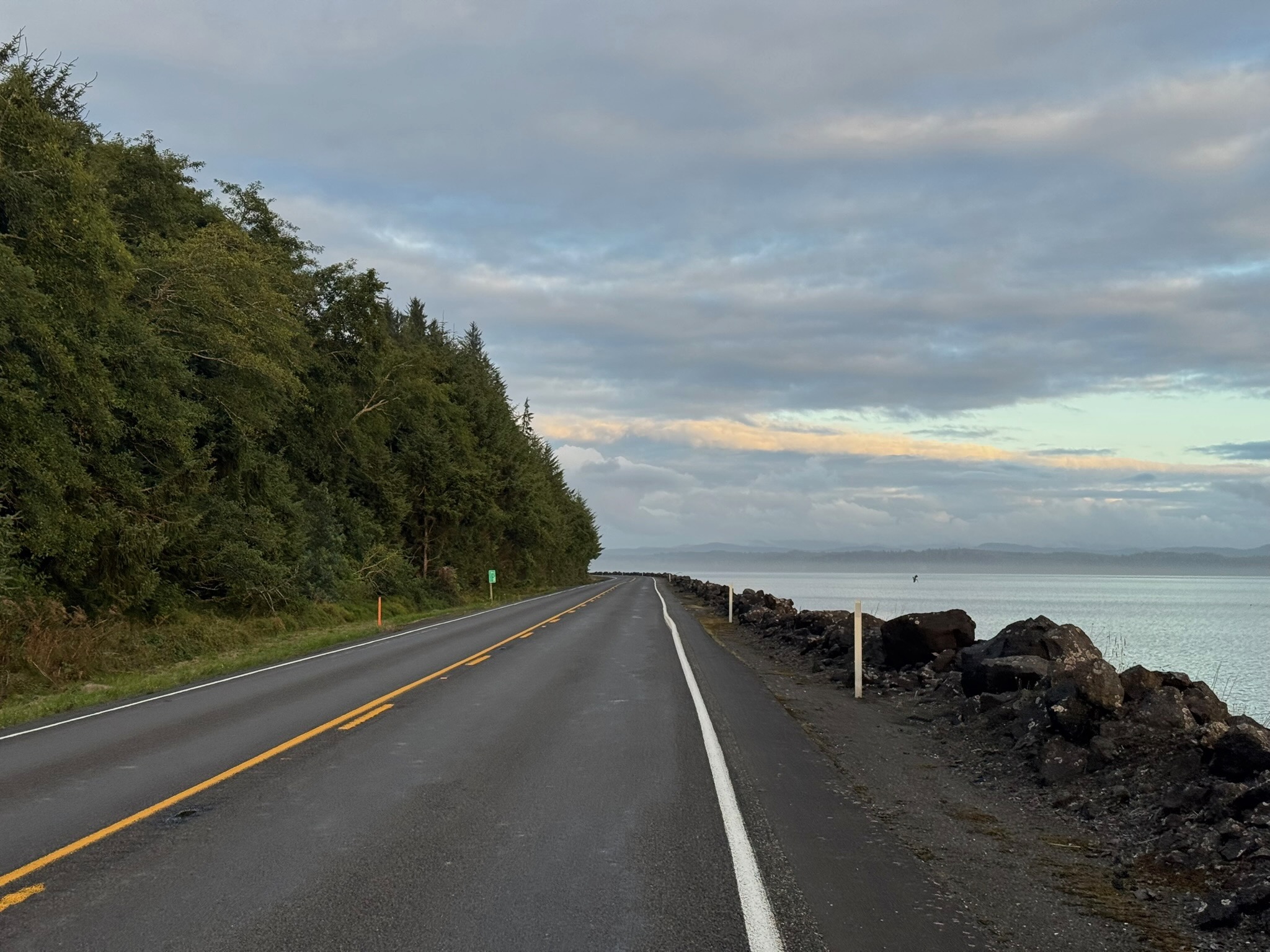
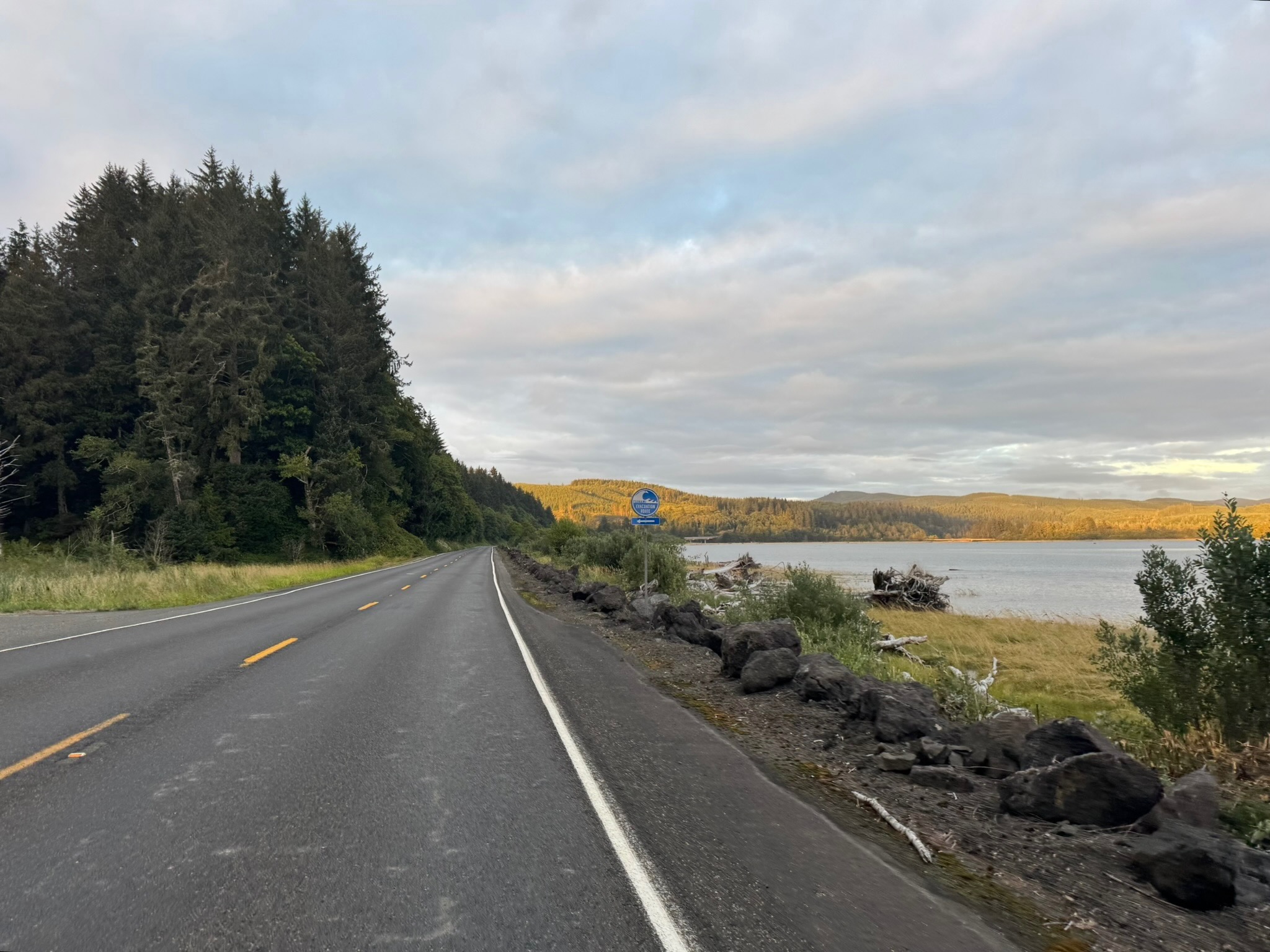
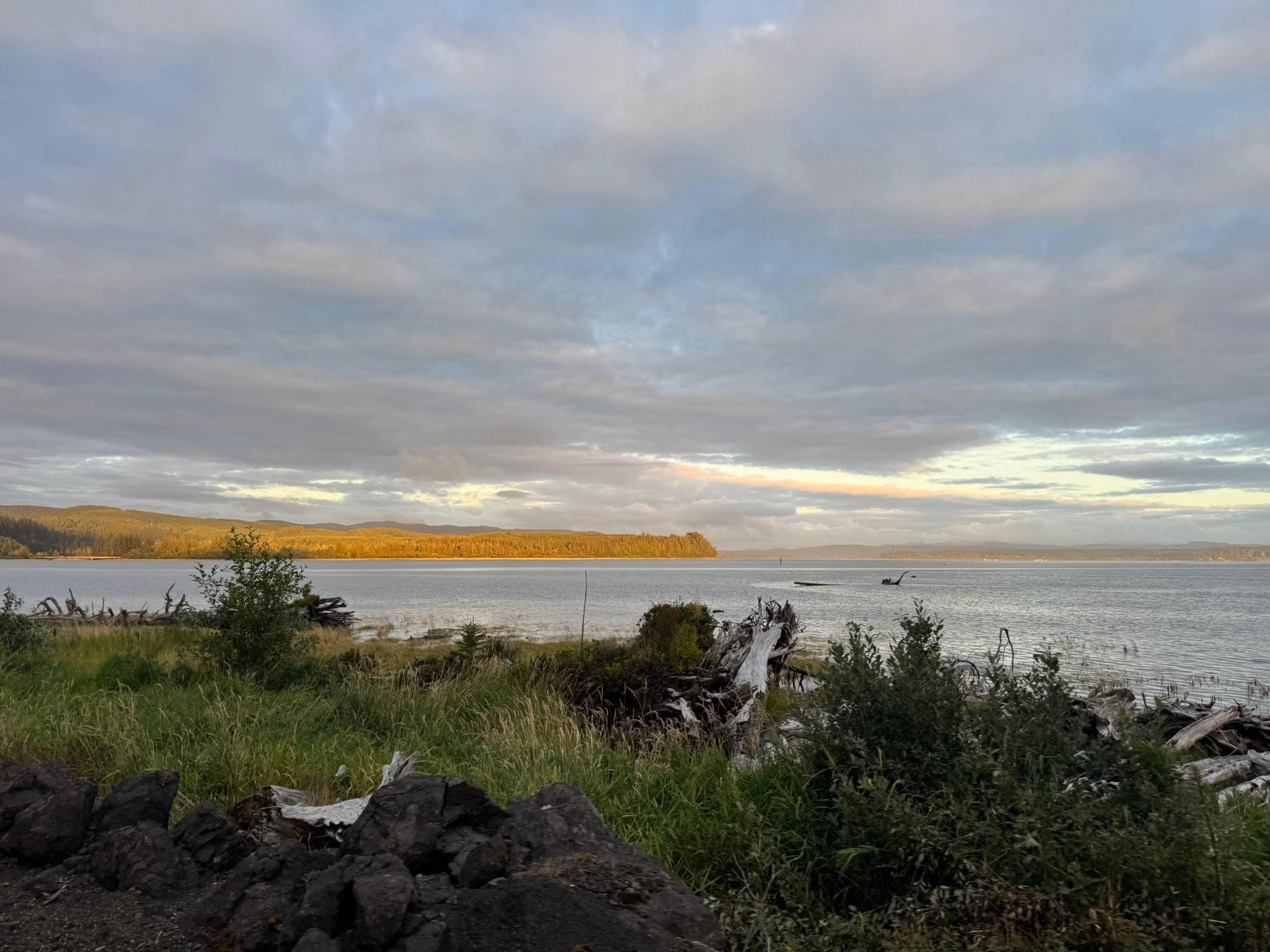
Heading into Cosmopolis you’ll begin to smell the ocean air. At 211 km, you’ll find another Chevron (closes at 8 p.m. on Saturdays). Soon you’re riding along the water and then heading into Westport, at 241.5 km, where there’s a Shell with Subway inside (open till 11 p.m.), though pre-riders found the restroom sub-par. Another 20 km gets you to the Tokeland 76 (open till 10 p.m.) with well-stocked convenience store and clean restrooms. Continue to bask in the ocean air, and if not the sights (as it may be dark), the sounds of the waves, as you make your way toward Raymond and the turn inland. The Quick Stop 101, open 24 hrs, with a portable toilet, is likely your last option for supplies for the day. In Pe Ell, at 340 km, there’s a Texaco, open until 11 p.m. Just before that, at 339.4 km, about a block off-route is a Willapa Hills trailhead with restrooms and water (there’s a cue for it). From there it’s another 43 quiet kilometers to the overnight control in Centralia.

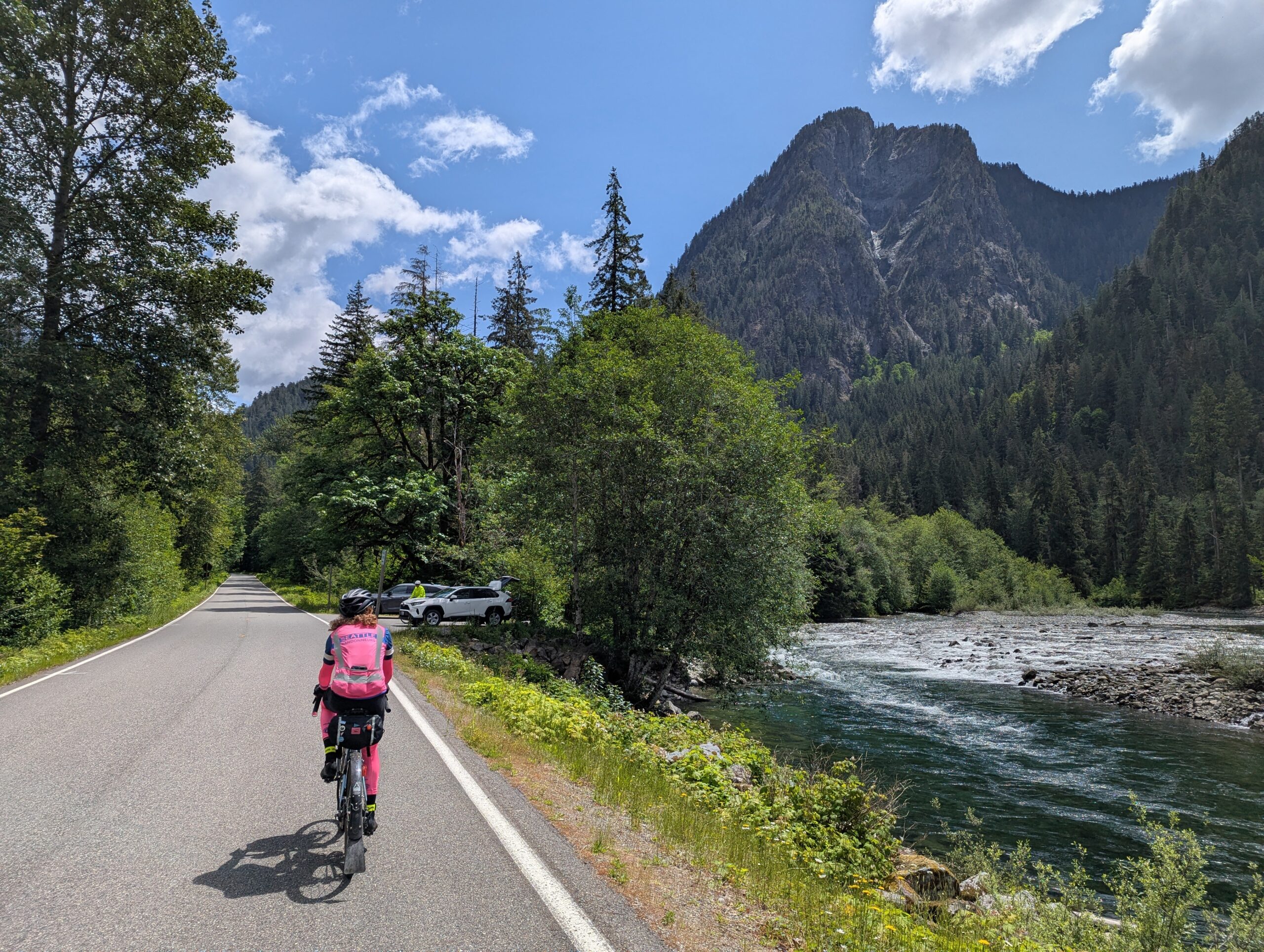
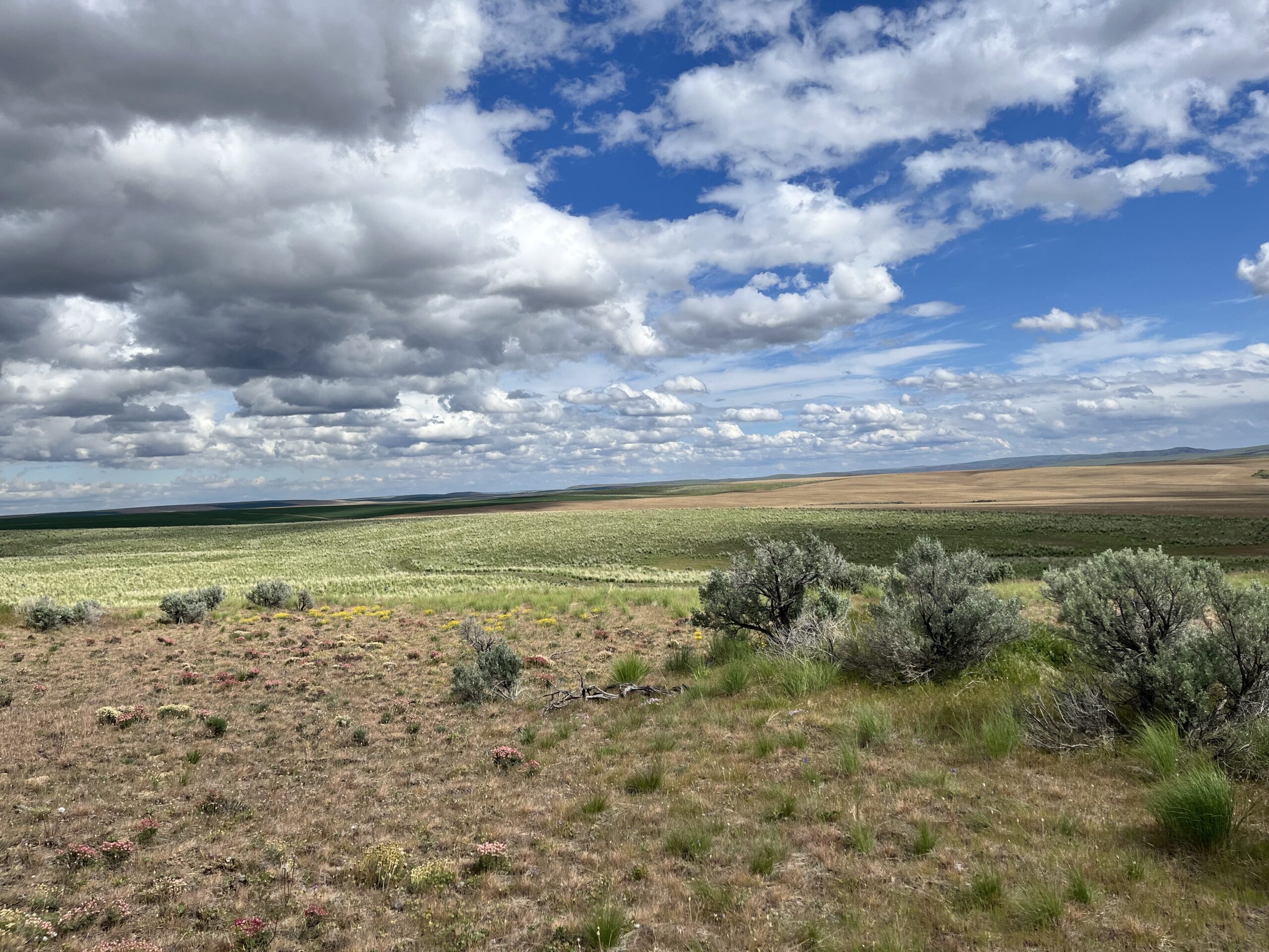
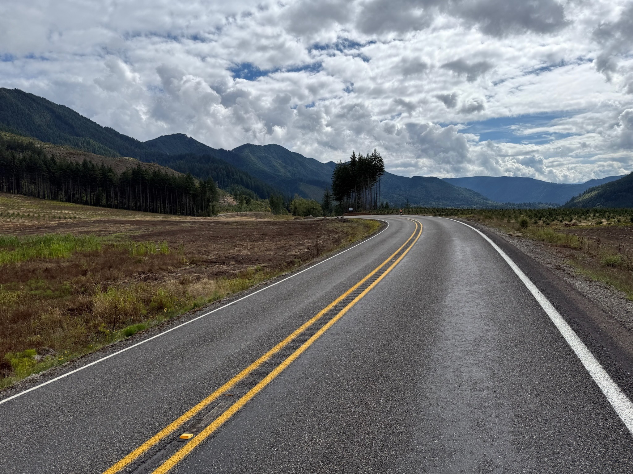
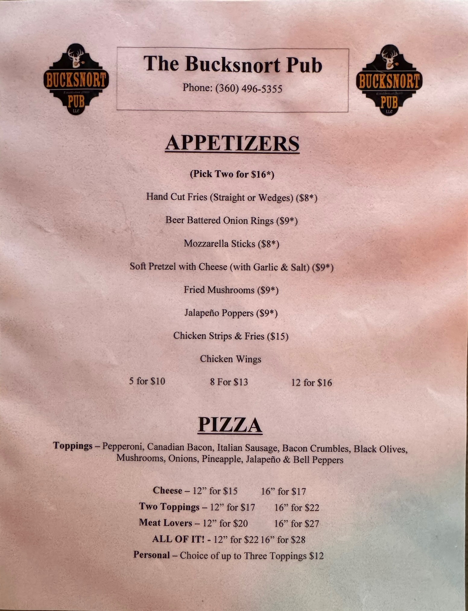
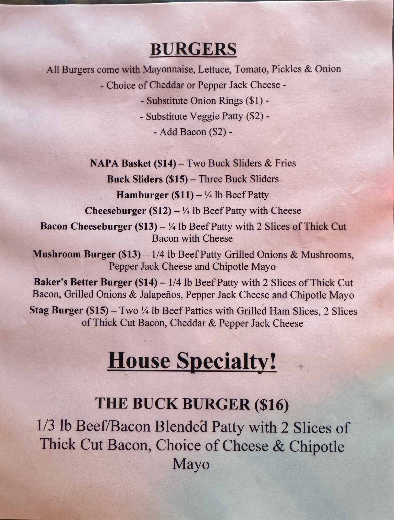
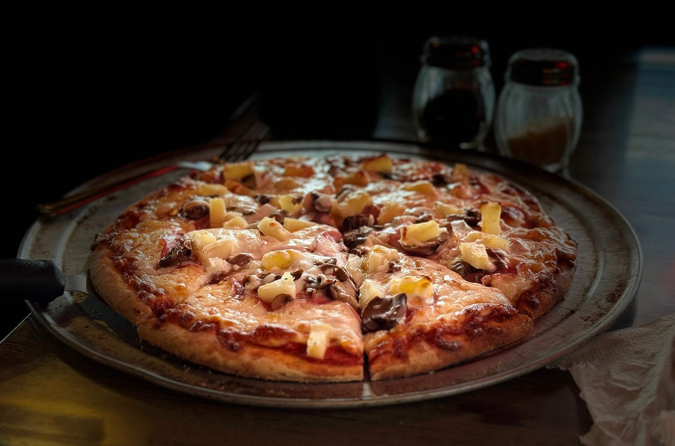
The second day (or the segment after the overnight control, if you’re riding through) takes you into the mountains via Centralia-Alpha Rd with a series of climbs through the countryside. Morton, your first opportunity for services, is 64 km away, but has several good options; pre-riders feasted on a breakfast sub and Jo-Jo potatoes at the 24-hr Chevron, and pizza at the Bucksnort Pub. From Morton to Elbe there’s more climbing, then an awesome descent (one of many on this day/segment). Also perhaps the most stressful riding of this brevet, on WA-7, with a narrow shoulder, fast traffic, lots of wide vehicles towing campers and boats. You may need a break at the Elbe Supply and Safety Stop even though it’s just 27 km from Morton. At Elbe the shoulder improves and you can enjoy stunning views and descents as you skirt Alder Lake.

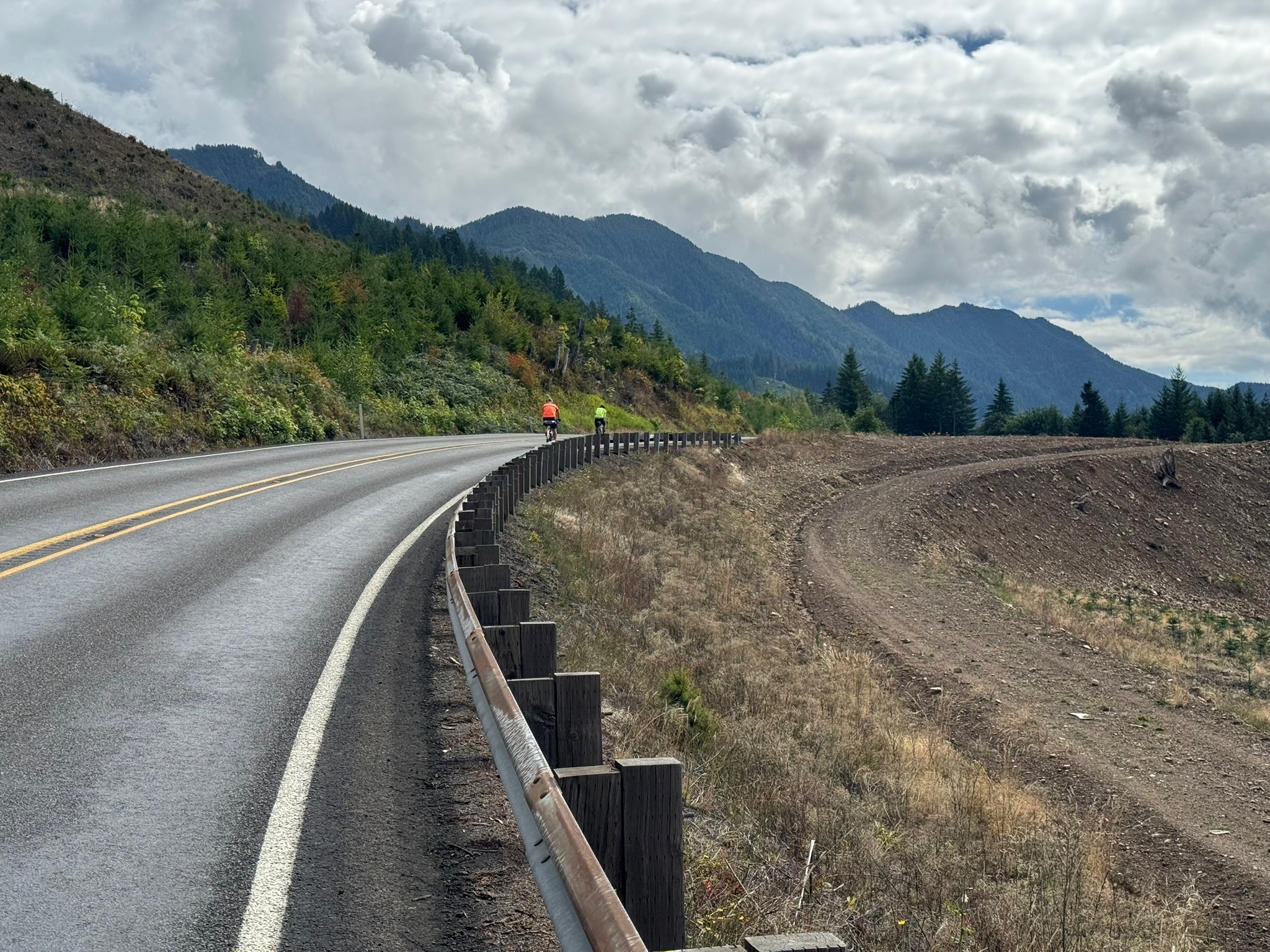
Eatonville at 495 km offers more supply options before you turn onto Orville Rd at 497 km. This section is lovely, passing through forest with glimpses of Ohop Lake. It also has a narrow to nonexistent shoulder and can be busy with surprisingly impatient drivers on a Sunday. Same for Orville Rd E, which you turn onto at Kapowsin, at km 511.7 (where there’s also a convenience store with a portable toilet). At 526.6 km you turn onto WA-162, another highway with fast traffic and a narrow shoulder, but you turn off onto the Foothills trail in just a couple of kilometers; you can see the trail to your left for about .75 km before you make the turn. The trail ride is cut short by a bridge closure; you’ll get back on the highway at 537.2, where there is also a convenience store. There is a little better shoulder here for your climb to a plateau. In Buckley, at km 544.8 look for the trail again to your right, just before the intersection with WA-410. You’ll ride the beautiful Foothills Trail bridge over the White River, then take a left on Mud Mountain Rd and cross WA-410. There should be no traffic, because this stretch of highway is closed due to a—you guessed it—bridge closure. In Enumclaw, you’ll pass a 7-11 (24 hrs) at 551.5 km—perhaps your last services, unless you reach Black Diamond before 8 p.m. Then jostle through town on bumpy streets that lead right into farmlands.

The route passes through more rural scenery, then on to Franklin, a tiny town where you’ll ride over the Green River gorge, spectacular if you still have daylight. Climb out of the gorge and head into Black Diamond and your last opportunity for a bite, at the Black Diamond Bakery (open till 8 p.m.), about a block off-route at 575.8 km. From here on, it’s smooth riding, nice roads with good shoulders. There’s a control at 586.8 km, where you make a turn that’s hard to see in the dark. You’ll see a RR crossing sign; the turn is just before that sign. (Do not cross the tracks.) Heading into Auburn on SE Auburn-Black Diamond Rd, at km 598.9, you’ll encounter a notorious set of railroad tracks at a bad angle. Take care here; stopping is not out of the question, as you have to cross into the left lane if you want a perpendicular approach. After 4 km through town, you are finished.

Comments Off on 2025 Summer 600K Pre-Ride Report

Filed under Uncategorized

2025 Spring 600K Pre-Ride Report

Text by Phil Neff

Event details and registration may be found here.

The Spring 600K offers a varied, rolling, but low-total elevation tour through the inland Puget Sound and into the foothills of the Cascades via the Middle Fork Snoqualmie. A backdoor into Bellingham provides a pleasant detour along Lake Samish, avoiding the closure of Chuckanut Drive. This route is optimized for EPP, please ensure that your ride is tracked or document your passage through controls with photos.

A sunny, quiet morning in the Snohomish valley. (Photo: Xiangzhou Kong)

The route starts with mostly quiet rural roads through Snohomish and Marysville. Take care with the merge onto Highway 204 out of Everett’s Ebey Slough, followed by an immediate left turn onto Sunnyside Blvd. Climb over Lake Ki towards Camano Island, with some potentially busy sections of road through Stanwood. Wind and weather conditions will dictate your pace north along Padilla Bay into quaint Edison, where Terramar Brewstillery offers pizza and house-brewed beer and soft drinks.

Hot pizza, soft drinks, and drying gilets at Terramar Brewstillery. (Photo: James McKee)

The closure of Chuckanut Drive necessitates a detour up Bow Hill and along Lake Samish. Preriders found these roads to be low traffic and pleasant; despite hugging I-5, you’ll feel like you’re riding through a tunnel of rocky cliffs and trees up Lake Samish Drive (the pre-ride route profile included some phantom steep grades here that were not reflected on the road). Descend past the Galbraith MTB complex and down the Stair Step Streets (watch for cross traffic and stops) into Fairhaven and Bellingham. Preriders stocked up on snacks and sun at the Haagen grocery here before turning back south for the climb back out of Bellingham.

The Lake Samish detour into Fairhaven. “5 out of 5 didn’t suck!” – Andy S. (Photo: Phil Neff)

Rolling country roads lead south through Sedro-Wooley; the route winds through the Burlington suburbs and over the Conway hill on SR534 before briefly joining Highway 9 at Lake McMurray; from here, it’s the standard Centennial Trail, Broadway, Woodinville, Sammamish River Trail sequence back home to Redmond.

Day two starts with the punchy Union Hill climb, maxing out at 10% grade, before a descent into Carnation to the Snoqualmie Valley Trail. From here, it’s gradual railroad-grade climb on light gravel to Tokul Road, and then through the towns of Snoqualmie and North Bend. Stock up on food and water here before the approximately 25K long (one-way), 300m climb up the Middle Fork Snoqualmie trailhead. Gorgeous river and mountain views abound on this stretch.

Astounding scenery on the Middle Fork Snoqualmie. (Photo: Xiangzhou Kong)

More punchy climbs punctuate the route back via the Issaquah Highlands, followed by the busy Issaquah-Hobart Road to Cedar Grove Road and the traffic-free relief of the Cedar River Trail. Wind through Renton and follow the familiar Lake Washington route through Factoria back into Issaquah, doubling back to pass the troll on the Rainier Trail.

The route finishes with a roll up the Sammamish River Trail to the Redmond Inn. Chapeau!

A celebratory group photo with the Issaquah troll before the final few Ks. (Photo: James McKee)

Comments Off on 2025 Spring 600K Pre-Ride Report

Filed under Uncategorized

2025 Waterville Gravel Populaire Pre-Ride Report

Text and photos by Shan Perera

On June 7th, SIR returns to the Waterville plateau for our Summer Gravel Populaire. If you rode any events here last year, this is an all-new route once again crafted by local rando Don “shiggy” Person. I previewed the course with shiggy last week. After heading west from town, we made our way up to the northernmost corner at Fletcher Cemetery. Then turned south skirting Lamoine and Supplee, passing through Alstown and Douglas before returning to Waterville.

Of the 100K distance, just 9K is paved with the rest (91K) a diverse mix of gravel across a patchwork of interconnected, rolling farm roads. Elevation gain on RWGPS (https://ridewithgps.com/routes/49950178) shows 3590’/1094m, but we recorded 4514’/1376m. Expect surface conditions to vary from hard packed dirt to soft sand to chunky loose rocks – creating an intermediately challenging ride where bike handling skills will be tested. But nothing too extreme. I rode 42mm tires. Shiggy was on 55mm. Recommend minimum 38mm. Slicks are ok if you’re experienced. Many of the roads will NOT have markings, but we’ve verified accuracy of the turns (and also updated the cue-sheet with “Unsigned” designation). We do suggest bringing a printed copy to aid with your navigation.

You’ll spend the day soaking up open skies, admiring acres of thriving wheat, punctuated by the occasional “alley” of deeply aromatic Sagebrush. These fields extend as far as the eye can see and were carved by glacial activity, floods and wind over millennia. The fertile soil, winter snow, spring rain, and dry summers create ideal growing conditions in these rugged lands. Expect to see no one and little auto traffic during your ride. We were passed by just 3 vehicles (a road grader, a gravel hauler, and a pickup) – all very bike friendly. Please remember, farm equipment ALWAYS have the right of way. It also gets hot in June, and there’s no real shade on the route. So come well prepared – carry extra tubes, check/top off sealant (if riding tubeless), bring ample food and no less than 2 water bottles. We’ll have a staffed SIR control at 53.9km (33.5mi) where you can refill them, but there’s no services or resupply points elsewhere. Cell service is spotty.

A few noteworthy items:

  • TURN at 13.7k (8.5mi): Right uphill onto 4 Rd NW [unsigned]. This turn comes immediately after
    passing some concrete barriers. Do not continue straight downhill!
  • TURN at 16.7k (10.3mi): Hidden Right onto Rd P NW [unsigned]. On road right before turn, there
    are buildings with farm equipment.
  • BAIL-OUT OPTION at 22.2km (13.8mi). At intersection of Rd N NW and 4 Rd NW, continue straight
    on Rd N NW. Turn right on Rd 3 NW and then left to Rd O NW/N Chelan Ave to Waterville.

Additional details:

  • Registration: https://seattlerando.org/content.aspx?page_id=4091&club_id=928629&item_id=2554577
  • Ride Start: Tennis courts on W Walnut St between E Park St and S Chelan Ave, Waterville, WA
    98858.
  • Check-in 8:00am, Briefing 8:55am, Roll out 9:00am.
  • Parking: Near the tennis courts by Pioneer Park or at the high school on S Chelan Ave.
  • RV camping & coin operated showers (takes quarters) at Fairgrounds RV park – 1/4 mile away.
  • Grocery store: Waterville Family Foods at (102 E Locust St; opens at 7:30am).
  • Finish and Post-ride: Knemeyers Eatery & Spirits (115 W Locust St; directly across from Pioneer Park) – pizza, burgers, beer.
  • Waterville Plateau historyhttps://www.historylink.org/file/9357

Comments Off on 2025 Waterville Gravel Populaire Pre-Ride Report

Filed under Brevets, SIR Rides