by Joe Llona

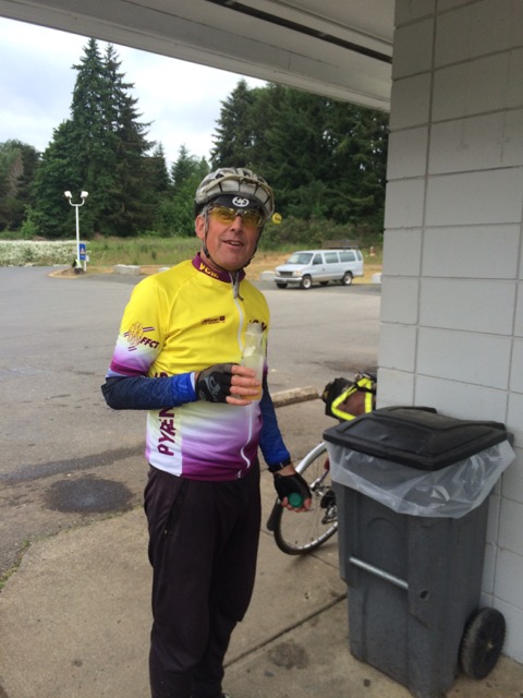
Pre-riders: Jan Acuff, Joe Llona, Rose Pantley, Greg Cox, Albert Meersceidt, and Anita Schiltz
First, the pre-ride team must apologize to all of you good people. Apparently we were overly gluttonous with the good weather and used it all up. We were so bad that we even ran out of good weather before we finished and wound up riding in the rain the last couple of dozen miles as we finished after dawn on Sunday morning.
I want to be clear about something: this is not an easy ride. It took a fairly strong pre-ride team nearly (or in two cases, over) 23 hours to finish. Now pre-riding has its own logistical issues and maybe a couple of hours could have been shaved off that. But it would not have been enough to catch the last ferry out of Bremerton Saturday night. Besides the difficult course this ride has some difficult logistics, such as parking in Seattle for more than 24 hours and ferry timing.
Parking – I strongly suggest you figure that out now and not Saturday morning. I must admit that even though I work in downtown Seattle I know little about parking there as it is something I find easier to just avoid altogether. Here are some suggestions you might research for parking options:
I would suggest finding a spot on the outskirts of Seattle and riding a mile or two into the ferry.
Ferries – The last ferry for Seattle leaves at 11:40 pm (not 12:50 am as I incorrectly reported on the website). Few of you will make that. The first sailing out is 6:20 am Sunday morning. Some of you will arrive in Bremerton during that gap, but many of you will still be riding when the ferries start running again. For those of you fortunate enough to get in during the ferry gap we will have two rooms available at the Fairfield Inn. This will be a rack and roll flophouse operation though, so if you feel you want some more privacy or want to sleep in I would encourage you to make your own arrangements.
Dropbags – We will be able to take small dropbags. We will not pick them up until you get off of the ferry in Bremerton though, so they have to be something you can ride onto and off of the ferry with. Think toothbrush and a change of clothes. Toothpaste and deodorant too if you insist. Post-ride, the dropbags will be available at the Fairfield Inn only.
Ok, so with the course difficulty and the logistical issues, why do you want to do this ride anyway? Well because you love to ride your bike of course, and this gives you the opportunity to do it for a very long time. Oh yeah, and there’s a definite WOW factor for some of this course. I’ve ridden the Tahuya hills many times, but it’s usually towards the end of an otherwise challenging ride and occasionally in the dark. On this ride you get a whole new perspective on this area because you’ll still have fresh legs and it’s a definite eye pleaser.

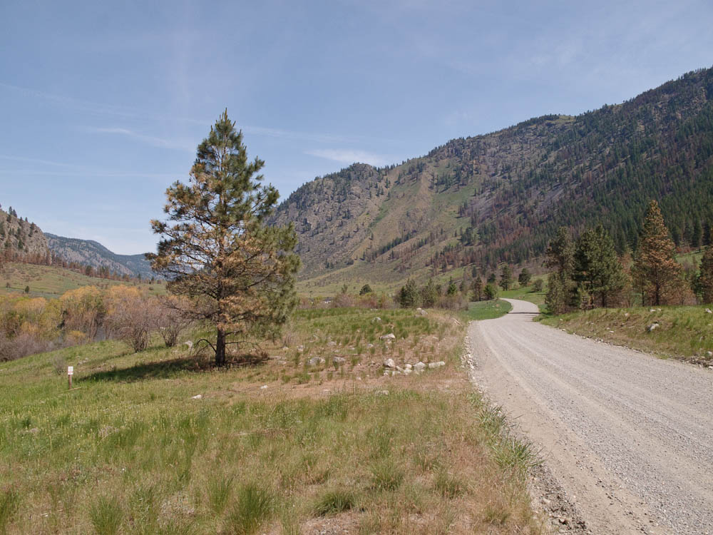
A rare bit of flat road, says Jan Acuff
You’ll start at Bremerton, but instead of rolling past the shipyard you’ll go east across the Manette Bridge. Do take note of the grade of this bridge as you descend across Dyes Inlet. After some rollers you get to Silverdale where you’ll have to take a detour off of Bucklin Hill Road due to a bridge reconstruction project. This will be noted in the final versions of the cuesheet and RWGPS file.
After Silverdale the real fun begins. First Anderson Hill with what looks and feels like a wall. After Anderson Hill is Seabeck where your first control (info) will be. Make sure you replenish your water in Seabeck because you’ll be climbing up Seabeck Holly Road shortly thereafter. After an exhilarating descent from Holly you’ll be turning up Dewatto Road and into the Tahuya Hills.
After you descend from the Tahuya Hills you’ll get to the second control at Kay’s Corner. There you will be able to water up before heading to Belfair. As you get nearer to Belfair you’ll start encountering some denser traffic and probably some impatient motorists, so please be careful. After Belfair you’ll head south on SR 300 where some road construction has made the shoulder of little use, so again please be careful. After a few miles you’ll turn onto SR 106 where for a while you’ll still be encountering heavy and sometimes impatient traffic. This seems to calm down by the time you get to Twanoh State Park, where you can find restrooms and water. The shoulder on 106 is on again off again, with a few places where there are some pretty bad cracks. There’s also a lot of parking on 106 so watch out for residents and car doors.
When you get to US 101 you’ll turn north to Hoodsport. There are services along the way. Please make sure you have full water bottles for the Climb to Lake Cushman. At Hoodsport you turn up to Lake Cushman. This is the biggest climb of the ride. The first two miles of the climb are fairly steep running at over 6% but then it transitions to 1% to 3% with some rollers for the remainder. As in last year’s 400 at Baker Lake, we could not find a suitable location to station the third control at the far turnaround point, so that will be turned into an info control with support (snacks and beverages) available about 3 miles after the turn-around point. After this you will descend back to Hoodsport among some more impatient motorists and then continue north on US 101 over Walker Pass. Like the climb to Lake Cushman, Walker Pass starts out steep at about 6% the first 1.5 miles and then tapers off to more like 3% for the remainder.

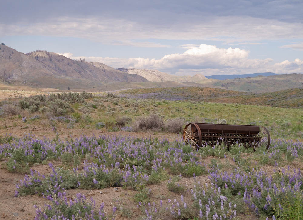
Lake Cushman. This beautiful spot will be the lunch/control location. Photo by Anita Schlitz

Another view of Lake Cushman. Photo by Jan Acuff
After descending Walker Pass you’ll go through Quilcene. Peninsula Food Market on the left and a couple of cafes on the right. Here you turn onto Center Road to the right for another climb up to Dabob Road. More climbing and rollers bring you to Coyle. Make sure you don’t miss the left turn onto Hazel Point Road. It’s easy to miss as you bomb down the descent towards Coyle, especially in the dark. Your fourth (and final staffed) control will be here to provision you with hot soup, and other snacks and beverages at the Laurel B. Johnson Community Center.
The Laurel B. Johnson Community Center fills several roles in the community, one of which is a food bank, which is utilized by a surprising number of the local residents. You’ll still have a lot of climbing ahead of you so you might want to lighten your wallet a bit at the collection jar we’ll have set up there.
With your wallet a bit lightened and your belly filled you’ll climb back out of Coyle and backtrack your route a way before turning onto Thorndyke Road which will take you to SR 104, then to SR 19 and into Port Townsend. The final control is at the Safeway on your left at the bottom of a big hill. Not much happening there, but at least it’s open, there are restrooms and groceries, but nothing hot at this hour.
Backtracking again from Port Townsend you’ll turn off of SR 19 onto Irondale, SR 116, Oak Bay Rd, and Paradise Bay Road. Please be careful on the final descent of Paradise Bay Road before SR 104. There are two sets of rather aggressive stop sign warning rumble strips that could cause you to lose control of your bicycle.
Also, please be careful crossing the Hood Canal Bridge. Stay to the right of the shoulder as you approach the metal grating sections as that’s where the solid plating is located. Watch for debris – glass, garbage, and usually enough car parts to get a complete build.
After the Hood Canal Bridge you go right onto SR 3 for Poulsbo. Then SR 308 and onto Brownsville Hwy NE. After a few miles on Brownsville Hwy you’ll turn onto Illahee Rd NE. The signage here is misleading (at least it is for me as I repeated the same mistake I made in 2013 on this course). Illahee Road is the second left as you roll into Brownsville. Don’t take the first left down into the Marina.
Following Illahee Road you’ll go south towards Bremerton. You’ll still two pretty good climbs ahead of you, particularly the one just before Illahee Road becomes Trenton Road. As you get into Bremerton you’ll be feeling that you’ve done that last climb, but remember that descent on the Manette Bridge right after you started?
This post wouldn’t be complete without a big Thank You to the pre-riders: Albert Meersceidt, Anita Schiltz, Jan Acuff, Rose Pantley, and Greg Cox.
Start: May 14th at 7:15am Bremerton Starbucks at the ferry terminal. (Catch the 6am ferry from Seattle and finalize registration on board. We will also have registration at the Starbucks at the Bremerton ferry terminal. Note the control closes at 8:15am.)
Finish: Frairfield Inn & Suites 239 4th St. Bremerton
Register here: http://brevets.seattlerando.org/register_for_event/355
Full ride details here: http://seattlerando.org/index.php?option=com_content&view=article&id=573:400k-brevet-514&catid=59:2016-brevets