Tag Archives: populaire

2024 Fall Waterville Gravel Populaire Pre-Ride Report

Photos and text by Shan Perera

SIR’s third gravel event this year brings another course designed by Don “shiggy” Person – who has arguably mapped more Douglas County backroads than anyone for over a decade. Those who rode his first one in June will find an all-new route that is a bit shorter (100km vs 134km), with slightly less climbing (4300’ vs 5100’), but still chock full of adventure. From Waterville, we’ll work our way to Douglas, then south towards Alstown, traverse the southern plateau, turn north to Supplee, tackle some big rollers heading west in the direction of the Columbia, and finally turn east back to the start. Hwy 2 and the river far down below can be spotted during the last bit.

This 100km (62mi) route is 83% unpaved. You’ll discover hard-packed farm roads, mid to smooth (“champagne”) gravel, loose sand, chunky rocks to “moondust” (deep talcum powder-like fine dirt). The remaining 17% strategically-scattered, paved patches will render your legs a refreshing boost. There’s something for everyone here – an excellent, intermediate ride if you’re “gravel curious”. Nothing extreme or over the top challenging. I rode 40mm tires. shiggy was on 55mm. Recommend minimum 38mm. Slicks are fine.

That said, you’ll be far away (no services/resupply points) with open skies in all directions, enveloped by expansive acres of wheat. You’ll see first-hand how our Eastern Washington landscape was shaped by glaciers, volcanos, floods and wind. Come prepared – carry extra tubes, check/top off sealant (if riding tubeless), bring extra food and no less than 2 water bottles. shiggy and I both had 3 bidons but ran out. However, with staffed controls at 21km (13mi) and 64km (40mi), you won’t have to worry about that happening to you. Expect to see no people and very little traffic all day. We were passed by only 2 cars the entire time. While, we rode past dozens of combines and other large vehicles, we saw just one in operation. Please remember, farm equipment ALWAYS have the right of way. No rain in current weather forecast. It may be hot, and there is ZERO shade on the route.

The most challenging downhill section with larger loose rocks comes early at 12km (7.5mi) on Rd 2 NW. Exercise high caution here. The steepest climb – also to highest point at 3100’ – comes at 89km (55mi). Your legs may grumble a bit, but it’s pretty much downhill from there. We let it rip on the final 5km (3mi) home stretch yelling “wheeeeeeeee”!

  • Ride Start: Pioneer Park in Waterville (North of W Walnut Street between E Park Street and S Chelan Ave, Waterville, WA 98858). Check-in begins at 8:00am. Briefing at 8:50am. Roll out 9:00am sharp.
  • Parking: Near the tennis courts in the park or at the high school on S Chelan Ave.
  • RV camping and coin operated showers (takes quarters) at Fairgrounds RV park – 1/4 mile away
  • Grocery store: Waterville Family Foods at (102 E Locust St; opens at 7:30am)
  • Finish and Post-ride: Knemeyers Eatery & Spirits (115 W Locust St; directly across from Pioneer Park) is friendly and has pizza, burgers, beer
  • Waterville Plateau history: https://www.historylink.org/file/9357
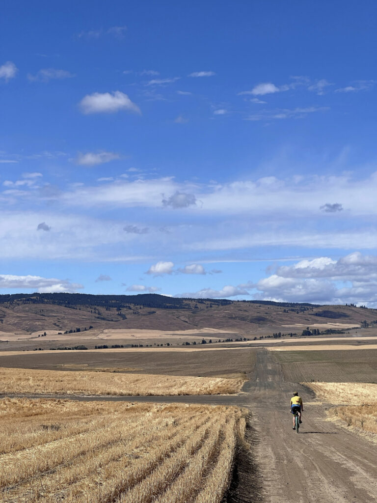
While most roads are in a grid pattern (Rd 1, Rd 2, Rd D, Rd E…etc) several intersections WON’T have any signs. Pay close attention to GPS and/or cue-sheet (highly recommend you print & bring with you). The marked turns are very accurate and we never got lost.
On the Waterville Plateau, wheat fields thrive from glaciers that melted a millennia ago. Erupting volcanoes, particularly the ash from Mount Mazama 7700 years ago, is a major contributor to the rich soils in the region. Mount St. Helen’s eruption in 1980 added to that.
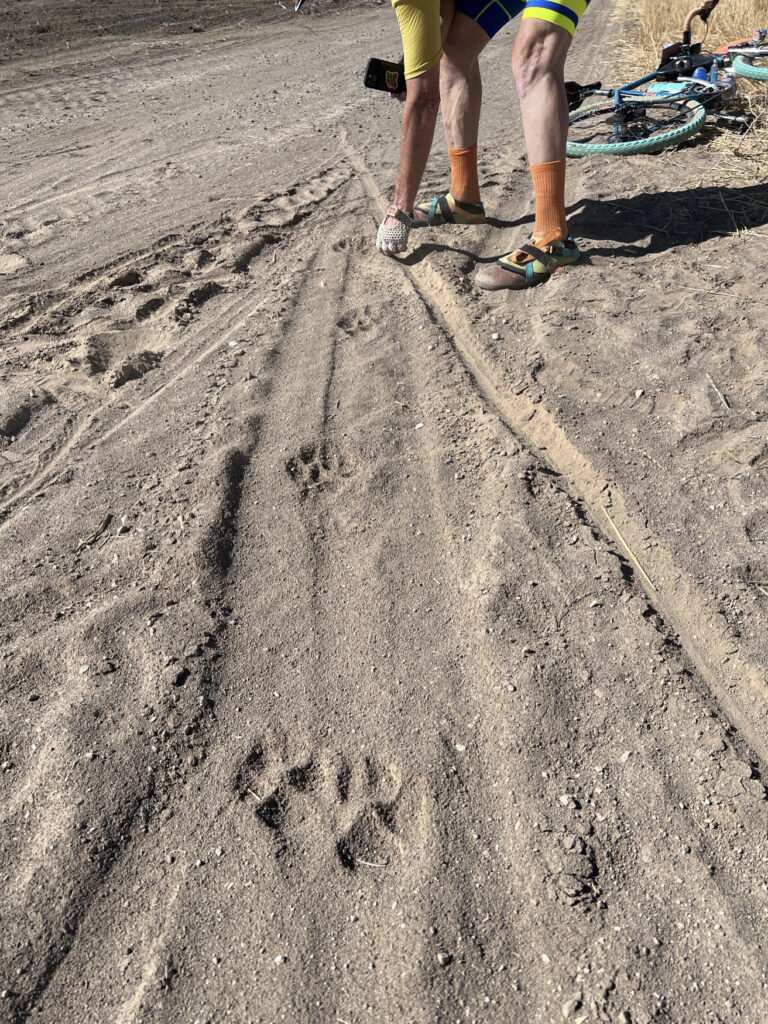
Large paw prints in deep sand that looked too big for a Coyote or Bobcat. Cougar??? We were later greeted by a Northern Harrier (with its distinctive white rump patch) gliding low over the wheat. And a Red Tail Hawk followed us overhead for a bit perhaps hoping the “crunch…crunch” of our wheels would scare a rodent snack out of hiding.
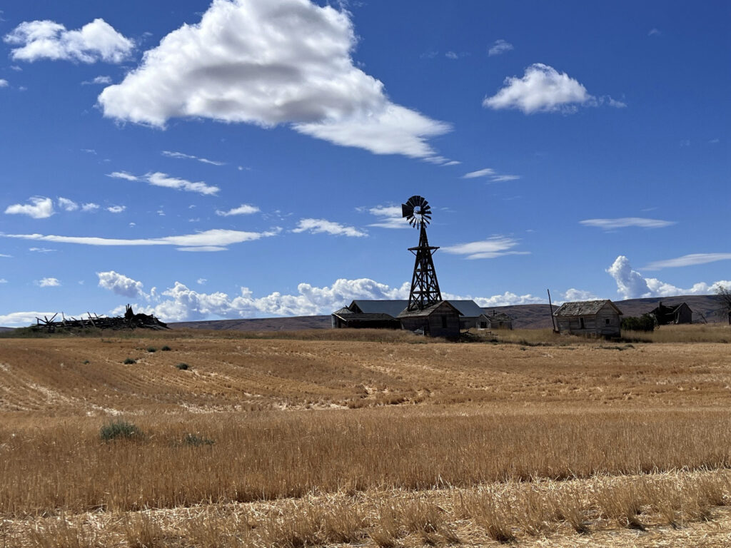
Douglas Cemetery
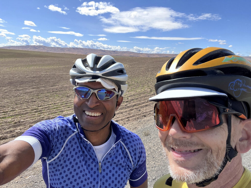
Shan and shiggy

Comments Off on 2024 Fall Waterville Gravel Populaire Pre-Ride Report

Filed under Uncategorized

2024 Olympia Populaire Pre-Ride Report

Text and photos by John Pearch

The Spider was a permanent route created in 2011 for PBP training. A few of us in Olympia resurrected it into the new RUSA permanent program, and now we’re introducing it as a populaire.

There are 9 sets of hills on this ride, and there are a lot of downhills to make up the time from the climbing, Take advantage of these descents and minimize stop time at the stores. The 5 most notable climbs are:

  • Shaker Church/Hwy8: longest climb of the day, 546 ft gain in 5 miles.
  • Summit Lake: 633 ft gain, 631 loss in 10.5 miles.
  • Cedar Flats: misleading, as this is NOT flat, with steepest grade of the day (9.4%), 332 ft gain in 2.4 miles.
  • Delphi: 222 ft gain in 1.4 miles.
  • Alpine/Brown: 321 ft gain in 2.5 miles.

There are two stores early on at miles 14.5 and 23.7, so stock at either Steamboat or Summit Lake stores, so you don’t have to cross the 4-lane highway while descending Highway 8. Summit Lake store is on the climb up Hwy 8, and nothing at Summit Lake. Warning: there was a lot of glass on the shoulder along US101 and Hwy 8, so come with tubeless or extra tubes. After Summit Lake, take extra caution while crossing Highway 8, with 4 lanes of high speed traffic. Take advantage of the descent on highway 8 to catch up for all the hills.

The final 3 big hills are to come with steep pitches. If the road is wet take caution on the downhills. Cedar Flats and Alpine/Brown are out and backs, so these hills do have a reward on the return.

If needed, there is a store at Black Lake, about 58 miles. The final 100 ft climb over Sapp Rd, is nicer way to come into Olympia, compared to the busy roads in West Olympia. Check out the view of the Puget Sound/Budd Inlet in the distance when descending down Lakeridge into Capitol Lake!

The finish at the Oly Taproom has a great selection of brew and pizza. Park either in street parking or in parking lot across the street from Bayview Thriftway, but don’t park in Bayview Thriftway parking lot. There is also free parking across from the Oly Taproom if you prefer.

Thanks to all who pre-rode including: Ricky Blacker, Matthew Sponseller, Andy Speier, and Renee Lewis.

Have a great ride!

Comments Off on 2024 Olympia Populaire Pre-Ride Report

Filed under Brevets, SIR Rides

2024 Waterville Gravel Populaire

Text and photos by shiggy Person

I (shiggy) have been riding on the Plateau for more than 12 years, traversing the area on the grid work of farm roads, many of which were established in the 1880s. I picked some of my favorites, and the best surfaces, for this first Waterville Gravel Populaire route.

The 134km route is 70% unpaved. Surfaces range from wide smooth gravel to fine dirt. Few chunky rock sections. May be some loose sandy stretches. Paved sections are dispersed fairly evenly providing regular breaks. Minimal traffic on the gravel and little on the paved roads. Of course, farm equipment ALWAYS has the right of way. 

Starting from Pioneer Park take a 134km ride through the greening wheat fields and shrub steppe of the Waterville Plateau, on some of the same roads ridden by the Waterville Bicycle Club 128 years ago.

We will pass through the small communities of Douglas and Alstown, both at the top of the Douglas Creek Canyon. Turning back north and east through sage and wheat on ever rolling hills. 

At Withrow we reach the edge of the last ice sheet advancement and roll into the Withrow Moraine. Fewer fields. More rock formations, erratics, eskers, and older basalt flows. 

Resupply comes in Mansfield at 74km, with a small grocery, cafe, bar and a pleasant city park, the only shade on the route outside of Waterville. 

Here we turn west. More moraine, and back into the wheat fields. 

The Fletcher pioneer cemetery, one of many on the plateau, is at 110km. Worth a stop. 

The neverending open sky carries us on west and south. Views of the Cascades in the distance over the rolling hills. 

We mostly stay on gravel clear to the Waterville city limits, 1km from the finish back in Pioneer Park.

Recommend minimum 38mm tires. Slicks are fine. I usually ride 42-48mm semi slicks.

There is only one resupply point in Mansfield at 74km. Water, small grocery, cafe, bar, city park. Be sure you are carrying enough food and water to get there, and then get back. 

It may be very hot, and there is ZERO shade on route.

Restrooms in Pioneer Park in Waterville. Grocery nearby. Knemeyers Eatery & Spirits is friendly and does a good pizza. 

RV camping available at the NCW Fairgrounds. 

Parking: near the tennis courts in the park or at the high school on S Chelan Ave. 

Waterville Plateau history: https://www.historylink.org/file/9357

Withrow Moraine geology video: https://youtu.be/uhz-7EsYRik?si=Odxua0hBEULSphbI

Comments Off on 2024 Waterville Gravel Populaire

Filed under Uncategorized