Text and photos by John Pearch

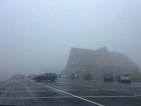
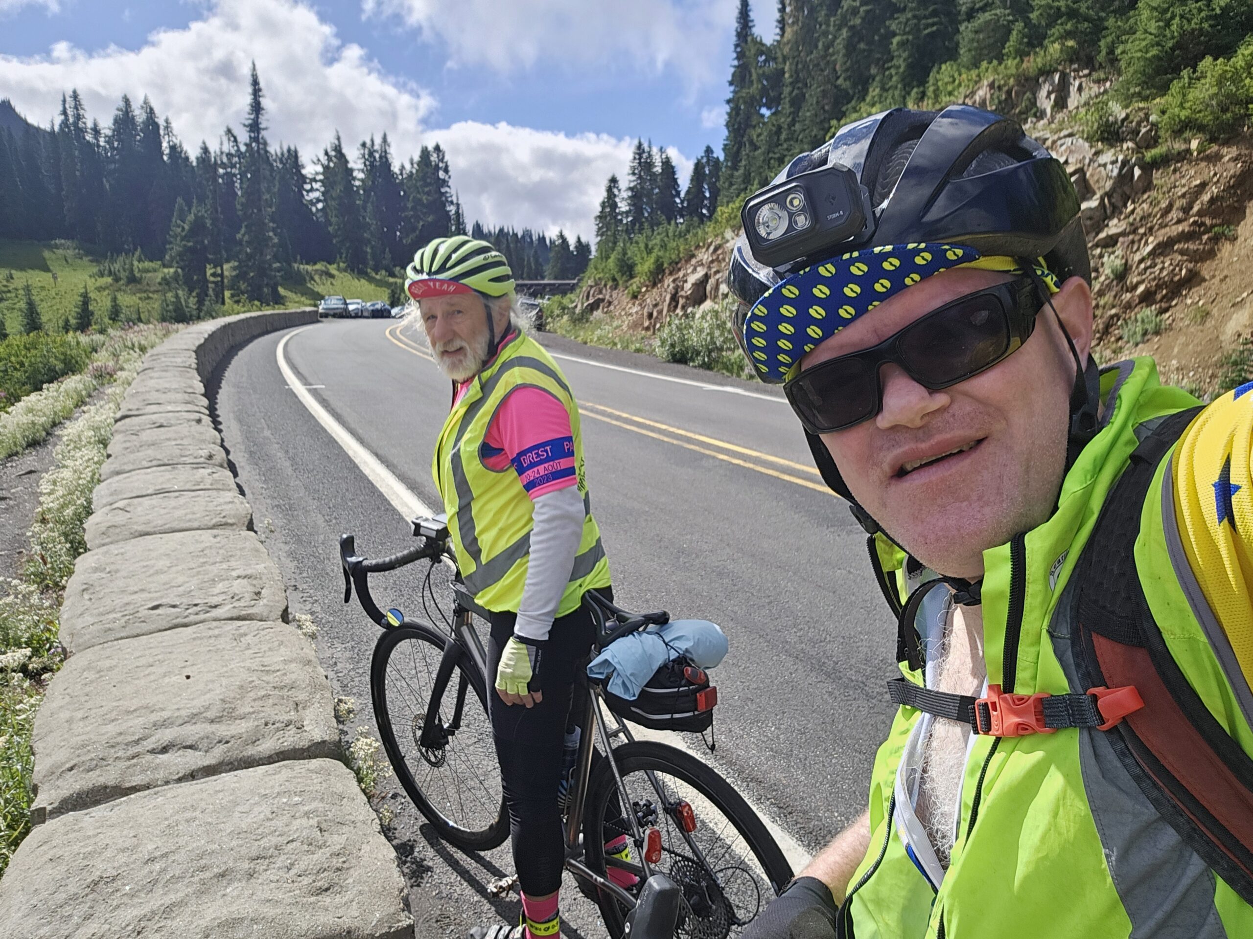
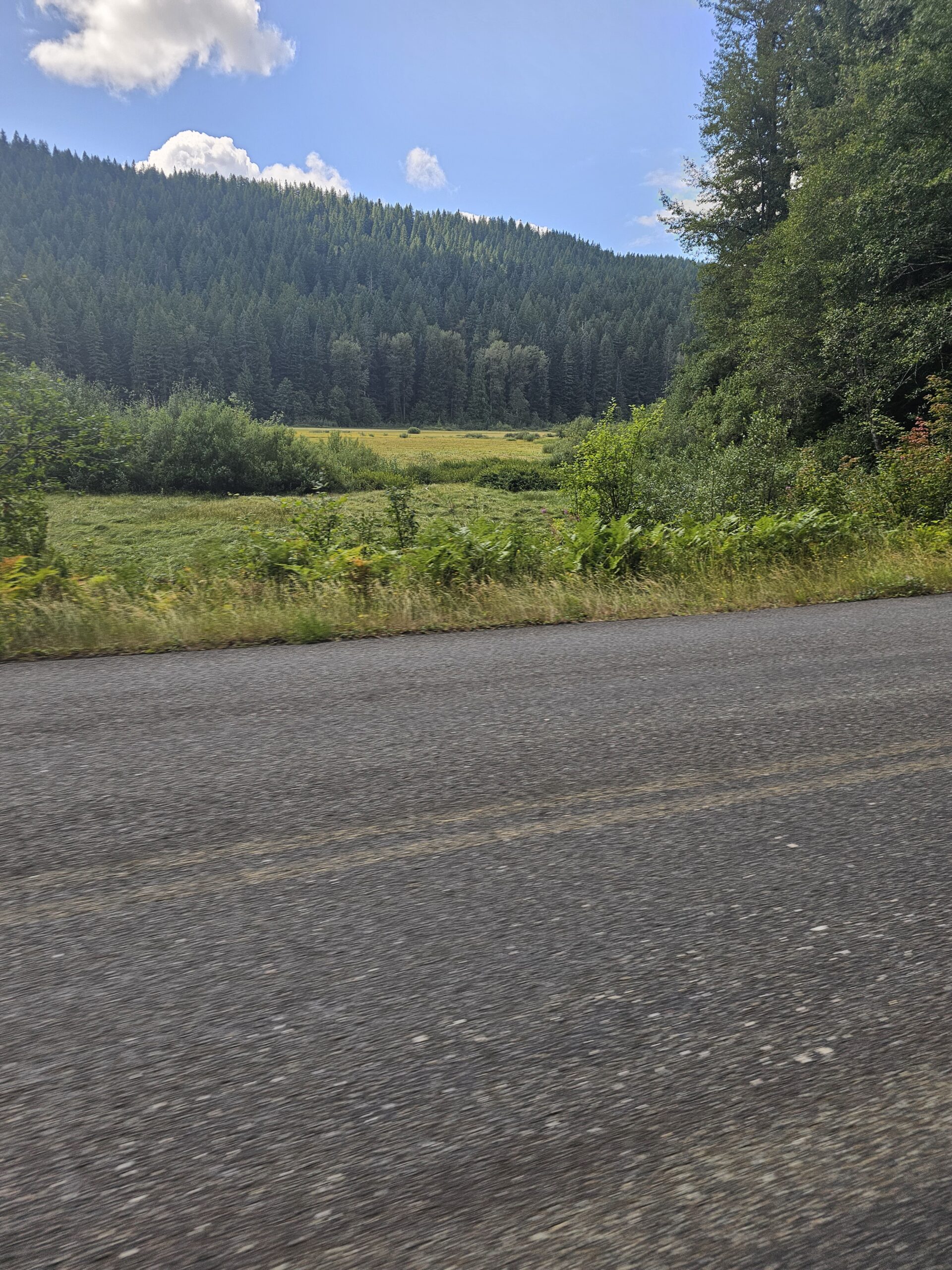
As seen from previous posts, this 8K600K route was rerouted several times to finally get a perfect storm of climbing around the scenic and amazing Mount Rainier National Park. Within a couple weeks of the pre-ride, we had to change the course due to a major wildfire on Hwy 12 east of White Pass. Even though the wildfire was all put out by all the rain, we couldn’t change it back to the original route since there was still wildfire danger and closures within a couple days before our pre-ride. I also established three 200K permanents to ride it in 3 days, so we could focus on each section of the route. Thanks to RUSA for approving these 3 permanents in short notice! Rick Blacker and I prerode a portion of the first section to Sunrise. We decided to be safe and not continue riding down off top of Sunrise due to cold and rainy conditions last weekend. We also pre-rode the 214k permanent from Cliffdell to Eatonville and got a lot of information along that section of the route, since there is a lot of stores with limited hours in the small towns. We also pre-drove the last section to also obtain important store hours and road conditions up to Bear Meadows.
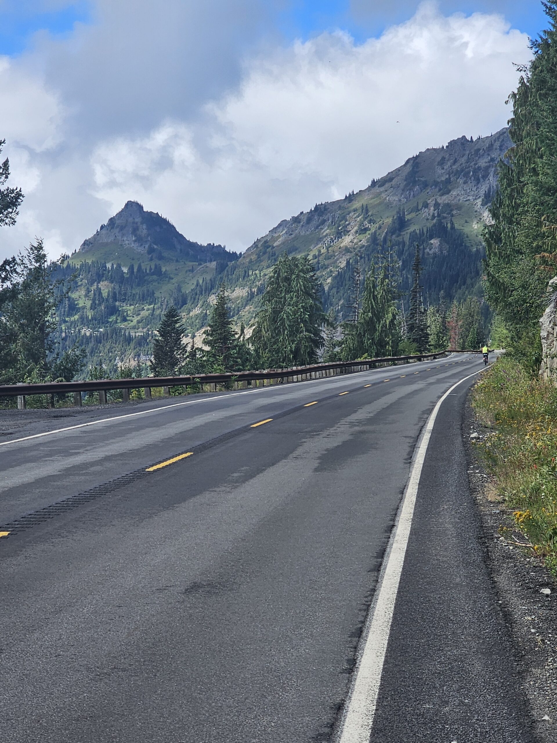
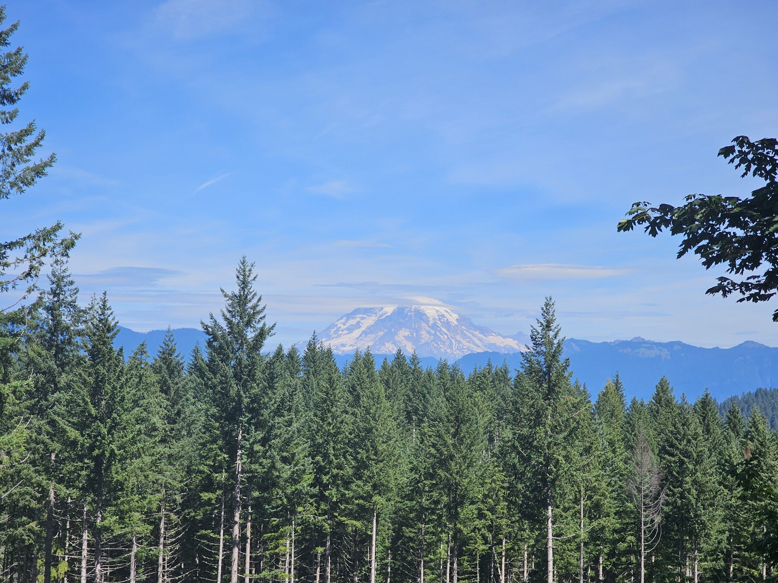
This 8K600K is important to prepare for the elements and requires some preplanning on where you will get food on this route. The cue sheet on the RWGPS has been updated to reflect all the store hours in each town or control towns. The first section of the course has 4 major climbs, that includes Cayuse Pass (4000 ft in 24 miles), Sunrise (3,000 ft in 13 miles) , and Chinook Pass twice (3700 ft in 26 miles 1st time from Greenwater and 3300 ft in 25 miles 2nd time from Cliffdell), totaling 15,000 ft of elevation gain in the first 157 miles, with a huge descent into Packwood at the halfway mark. Each of these climbs have a steeper section near the top (8-10 miles with grades of 10% or greater), so its important to take advantage and increase the speed on the lower section of each climb. Each major pass climb also has long descents following them and this is where you can make up a lot of time. Its important to be efficient at controls and while riding in order to keep ahead of the 15kph average speed (guideline cutoff – all noted on the RWGPS cue sheet). There are no intermediate cutoffs on this ride, but its important stay ahead for more sleep at the overnight and more time to relax on the second half in order to finish within the required 40 hours time limit. This ride will be EPP and will include instructions on the Brevet Card, essentially sending your Strava, RWGPS or GPX file to me after the finish.
There are no services after you start at Packwood, so plan on carrying extra food here for the first 2 big climbs. There is a water fountain and restrooms just past the National Park entrance. I plan to be there at Sunrise control for support since the Sunrise Lodge does not open until 11:00 AM. Greenwater has several places to stock up including the Wapiti Woolies amazing huckleberry shakes and sandwiches or the Mt Rainier general store, just down Hwy 410. After making the U-turn in Greenwater climbing up Hwy 410 along the White River, there is the Silver Springs visitor center with food and water, near the base of the steep part of the 1st Chinook Pass climb. Whistlin Jack’s in Cliffdell has a store that closes at 7:00 PM and they stop serving food at the bar at 8:30 PM, so a good incentive to make it here before then since these closing times are right about at the guideline cutoff time. There is water at Pleasant Valley Campground about 16 miles up from Cliffdell up the 2nd Chinook Pass climb. Additional note: Lodgepole campground is closed for the season. Plan on no services for food from Cliffdell to Packwood (54 miles).
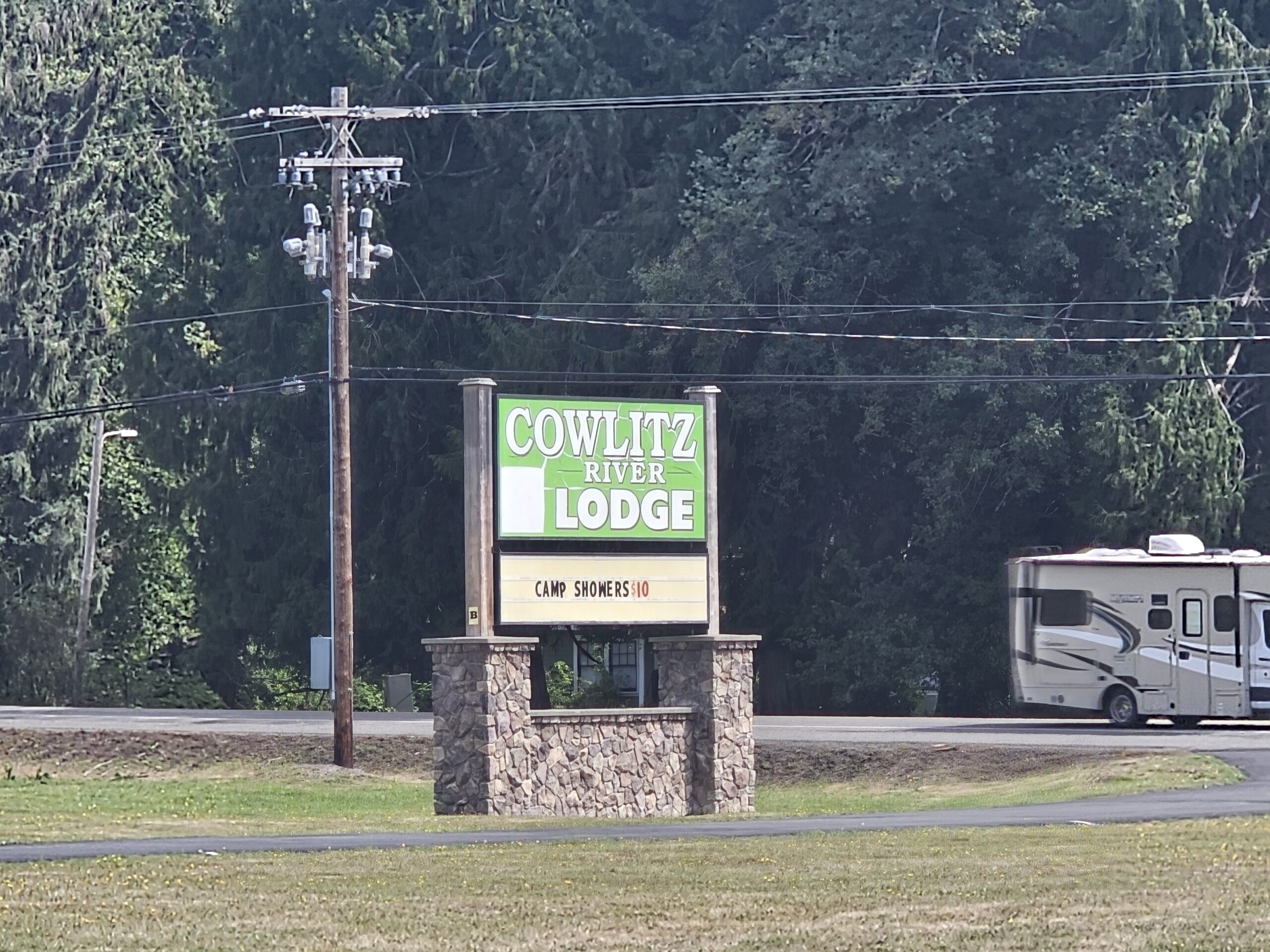
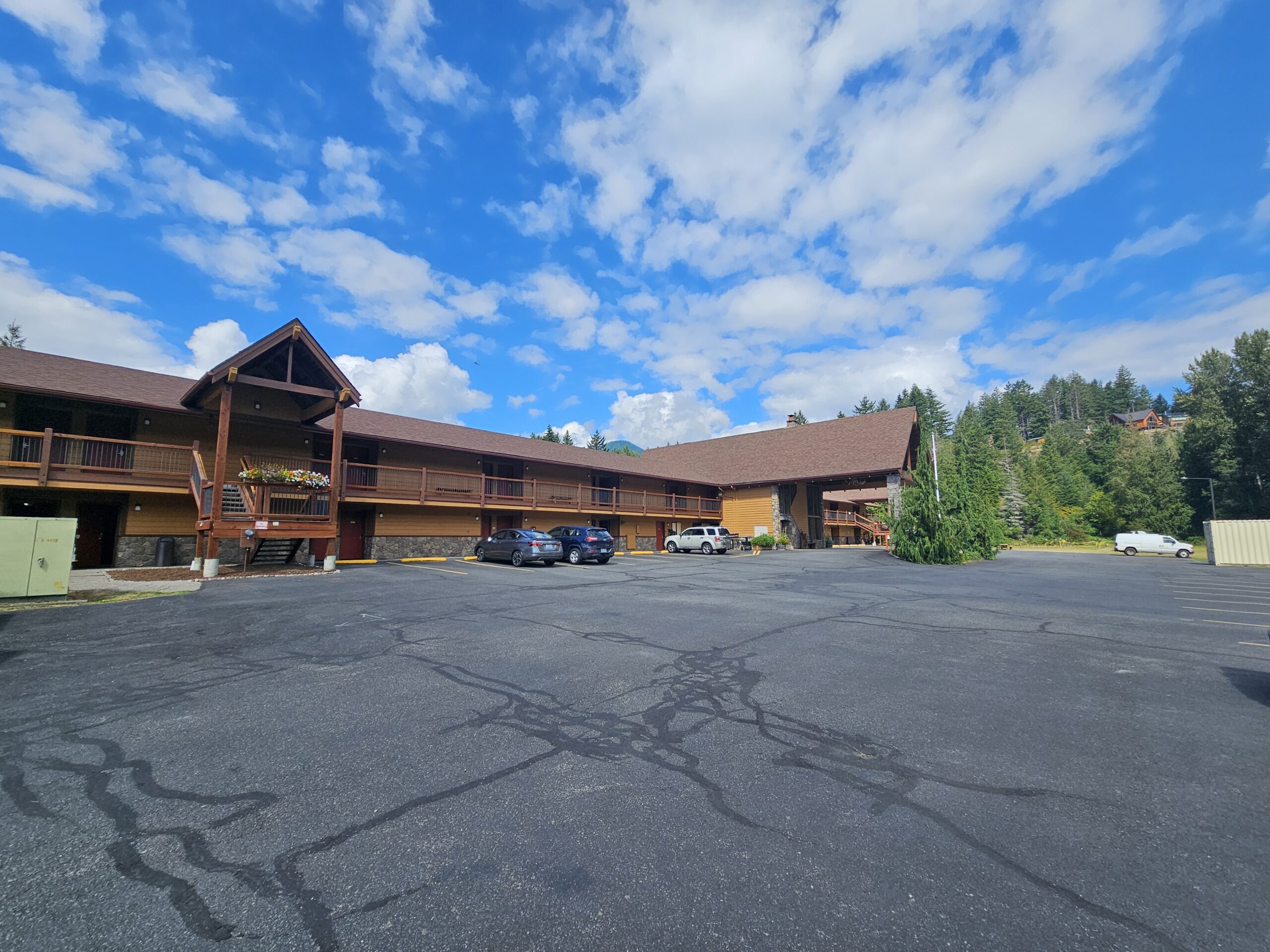
At Packwood, we will have a room at the Cowlitz River Lodge overnight control. Please check in at the control first if you are staying at a different place in Packwood. We will have sandwiches and soup. The imaginary cutoff at Packwood is at 0:48, so if you plan on leaving later than this please let me know at the overnight and then text me when you depart Packwood, so we know you are back on course.
The 2nd half of the ride has 2 major climbs, the first is the Skate Creek Road climb (1600 ft in 12 miles), immediately after Packwood. The 2nd major climb is the Bear Meadows climb (3100 ft in 15 miles), with a total elevation gain in 2nd half of about 11,000 ft. So there is a lot of rolling hills (100-300 ft) on the 2nd half and there is a long descent from the top of Skate Creek summit to Eatonville. There is some gravel sections for about 6 miles on the Skate Creek climb so be cautious as this will likely be in the dark. After you summit Skate Creek, it is paved all the way to Ashford. Just watch out of fallen trees or branches along the shoulder!
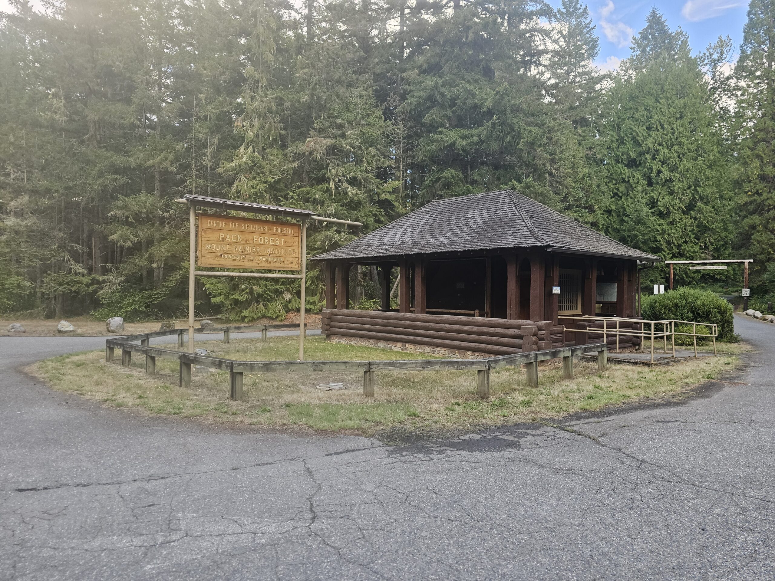
Store hours are very limited in Ashford, Elbe and Eatonville and should plan that they will be closed if you arrive through these towns between midnight and 6:00 AM, so plan on stocking up food at Packwood to go about 100k. There is a control just past the small community of LaGrande, at the bottom of the hill at Pack Forest along Hwy 7. Then after getting through Eatonville, there is a 50K out and back to the Puyallup River (at Brooks Rd/Orville Rd junction). This section has a few hills along Lake Kapowsin and back up into Eatonville. Kapowsin also has a store that opens at 6:00 AM.


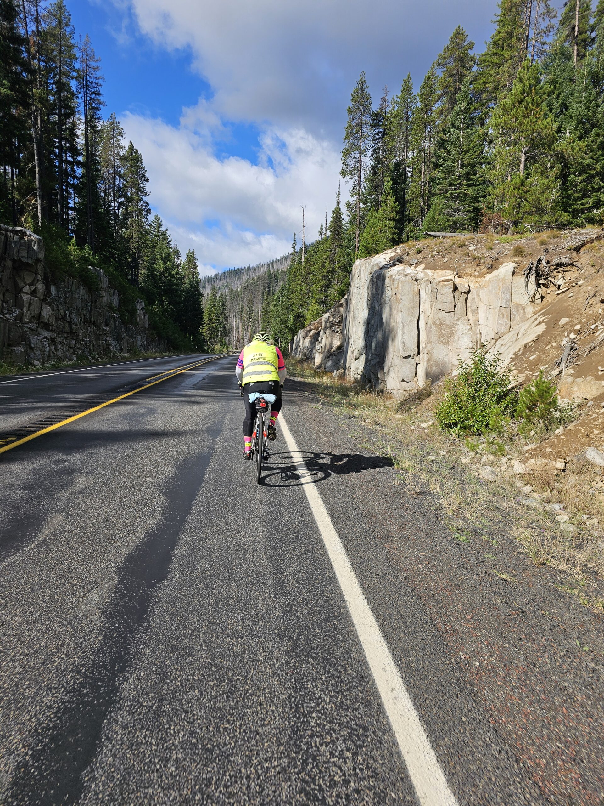
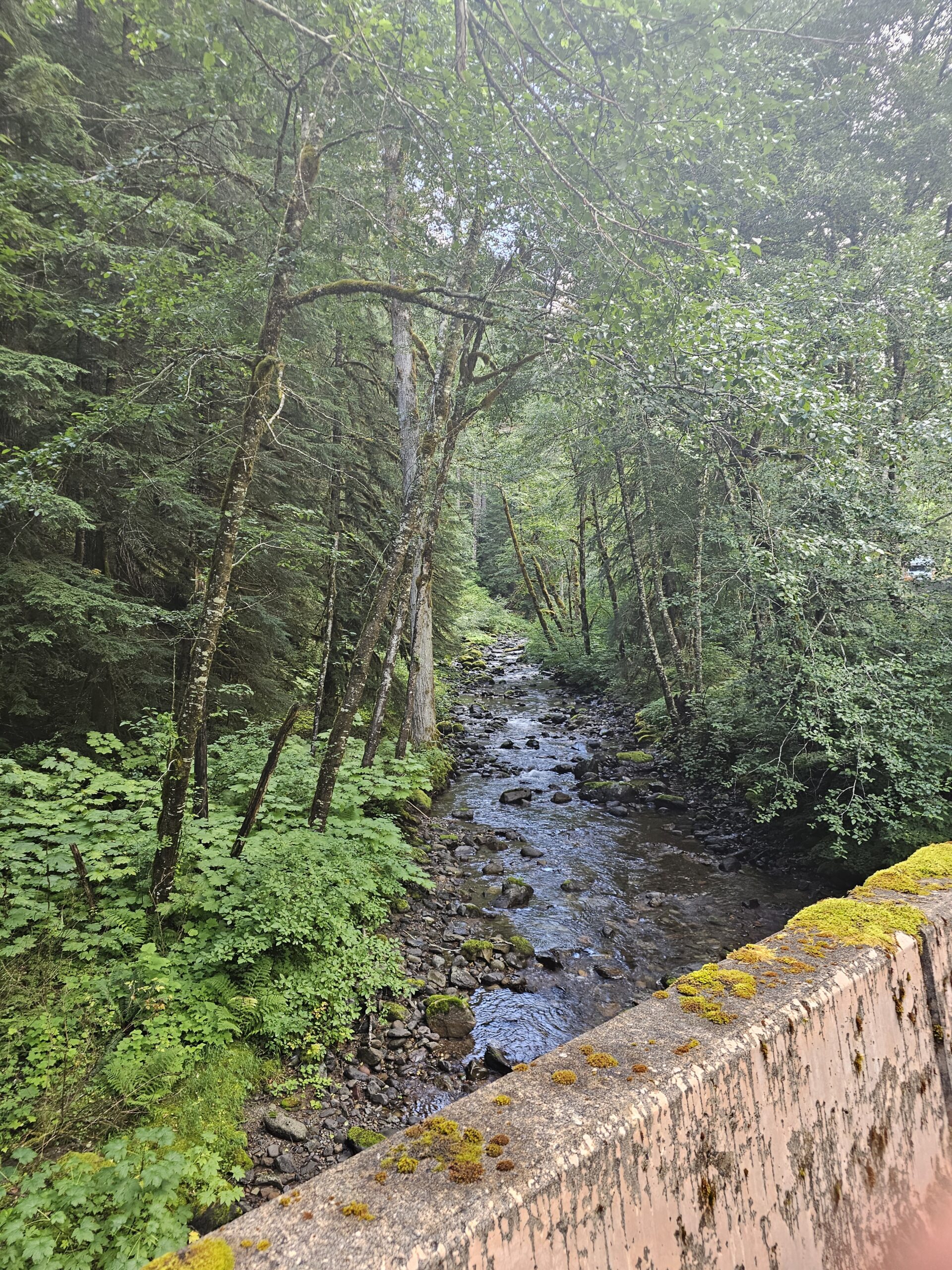
After returning to Eatonville, you will take the Alder cutoff road back toward Alder Reservoir. At Elbe the route climbs up and over to Morton where there there is a control at Spiffys or the Shell store. Then reminder, the route goes on Davis Creek Road to get off of Hwy 12 for a while. Upon descending into Randle, there is great view of Mt Adams! At Randle, plan on stocking up for the final 65 miles that includes the climb up Bear Meadows. There is water in the Iron Creek campground at some noted campsites on the cue sheet, but might be hard to find at this late stage of the ride, but just made note just in case. NF25 has a lot of cracks in the asphalt, so be extremely cautious when climbing and descending along this forest road.
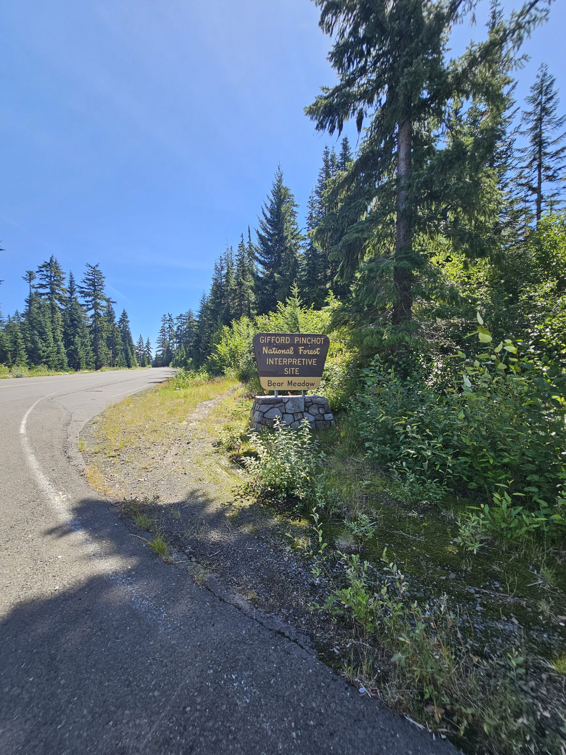
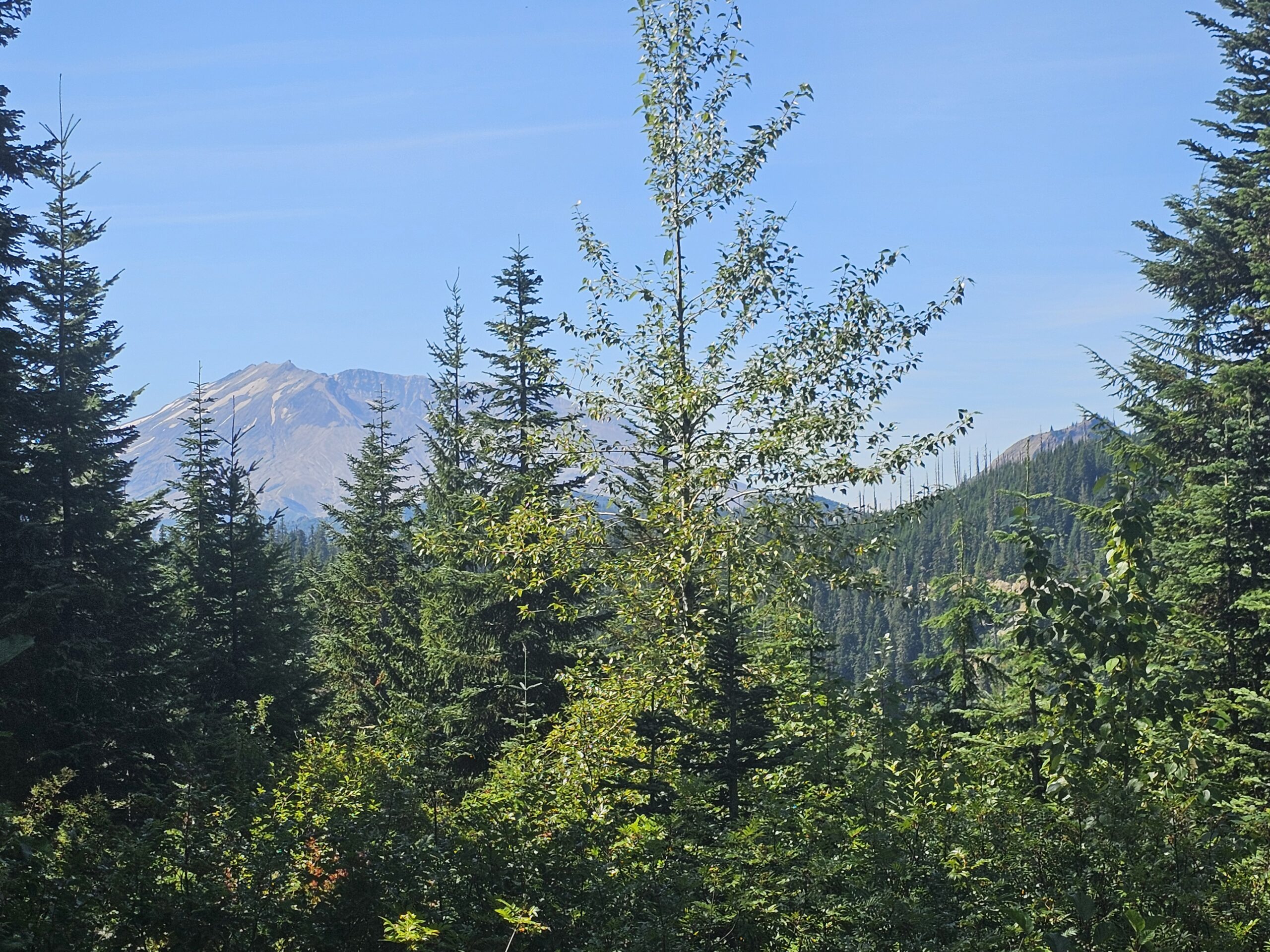
The NF99 road pitches up steeper for 5 miles but once you get to the summit at Bear Meadows, hopefully you get the view of Mt St Helens. There is a plaque there at the Mt St Helens viewpoint, so take in a few seconds to learn about the Gary Rosenquist famous photographs of the 1980 eruption!
The route then takes a U-turn back down NF99 to NF25, so hopefully you get back down before dark, cautiously descending with the bad cracks in the asphalt.
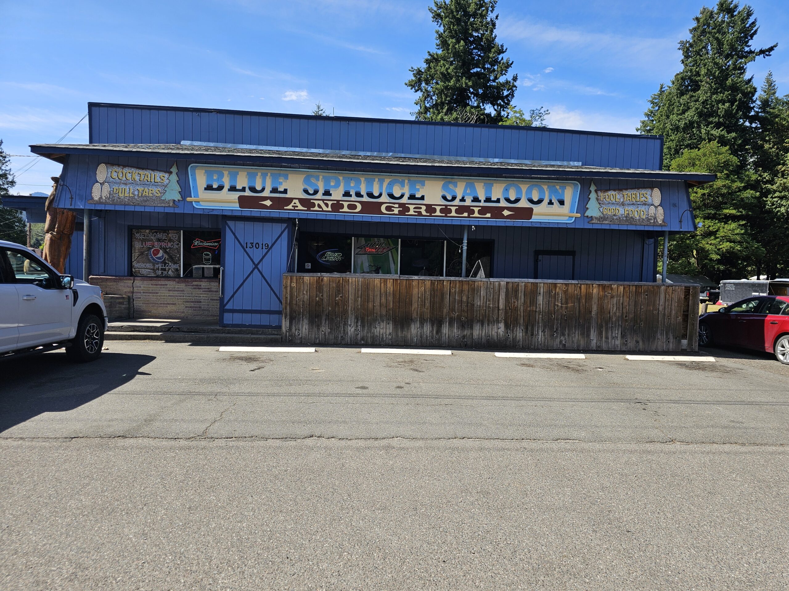
The route does not return to Randle, and takes the back roads (Woods Way, Cispus Rd and mostly on Cline Rd) along the south side of the Cowlitz River. Then finishes on US12 in the final 6 miles. Another update from the pre-ride is we changed the finish line at the Blue Spruce Saloon, which is open until 10:00 PM on Sunday.
I think you will enjoy this 8K600K (in whatever type fun you see fit) with all splendid “views” of Mount Rainier National Park and Mt St Helens, Hopefully weather forecast will hold but always bring extra clothing just in case. And make sure you remember all your reflective gear and lights! If you have a Spot tracker or other tracking device please send us your website link, so we can track you. I have a Spot for anyone need one.
Good luck!
Thanks to Marcy Moran for driving our drop bag to our hotels and other essential support along the way Thanks to Mark Thomas for all the help in creating this route. Thanks to Rick Blacker for helping with this pre-ride!