General Info
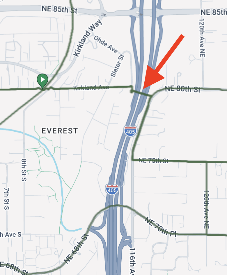
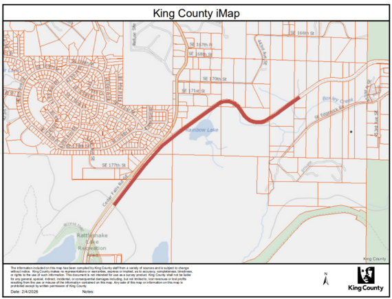
Parking at the start has a two hour time limit so we parked in the large lot just on the other side of Woburn St.

This is a beefy ride with 8000ft of climbing. The start time is changing to 8:00 AM to allow for maximum daylight for those full value riders. Please ensure you have lights and reflective gear for the last hour just in case.
Once thing to note is that you are trending uphill for the first 70 miles with one major climb. Don’t panic if it seems to be pretty late in the afternoon when you are reaching Artists Point. For reference we took about 7 hours to the turnaround point and then 3 hours to the finish for the last 55 miles, I expect a rule of thumb of about 50% of whatever time it takes you to get to the top for the remainder of the ride to hold up.
This ride does have a fair bit of time on a major road (Highway 542) and traffic is likely to be heavy. There is an intermittent shoulder on the highway and we did encounter a few impatient drivers. We were in a group and felt relatively safe throughout but it is worth calling out so that people can make the right decision for their personal comfort level.
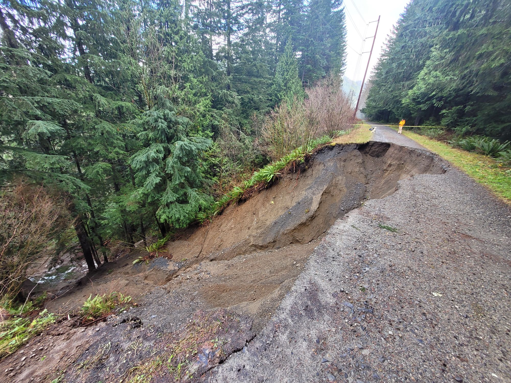
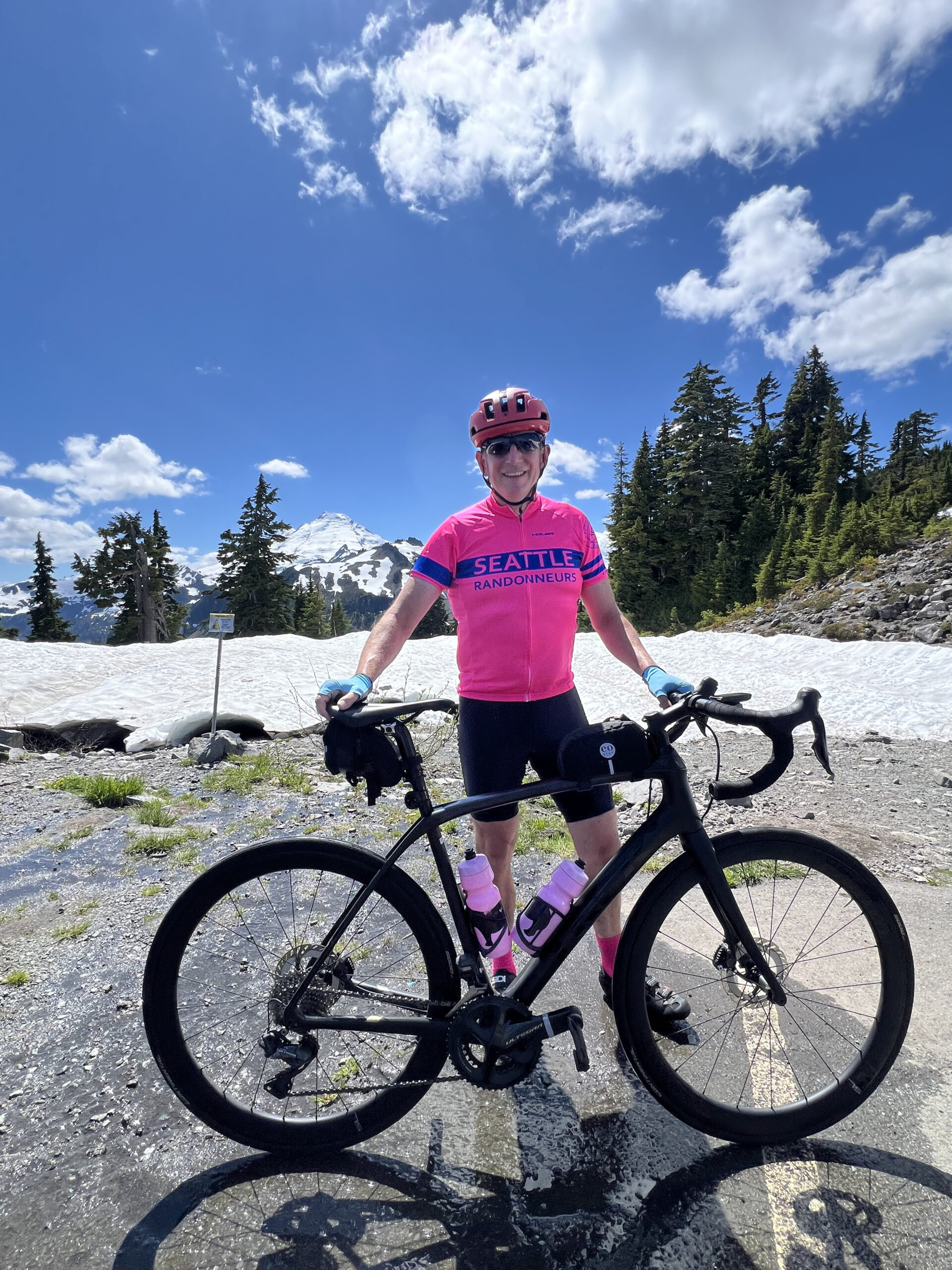
Be careful on the descent from Artist’s Point, the road is broken up and cracked on some of the corners. If you pay attention it’s fine but you don’t want to go full gas from the top.
Both Hannegan Road and Highway 542 had intermittent rumble strips which were at times hard to see.
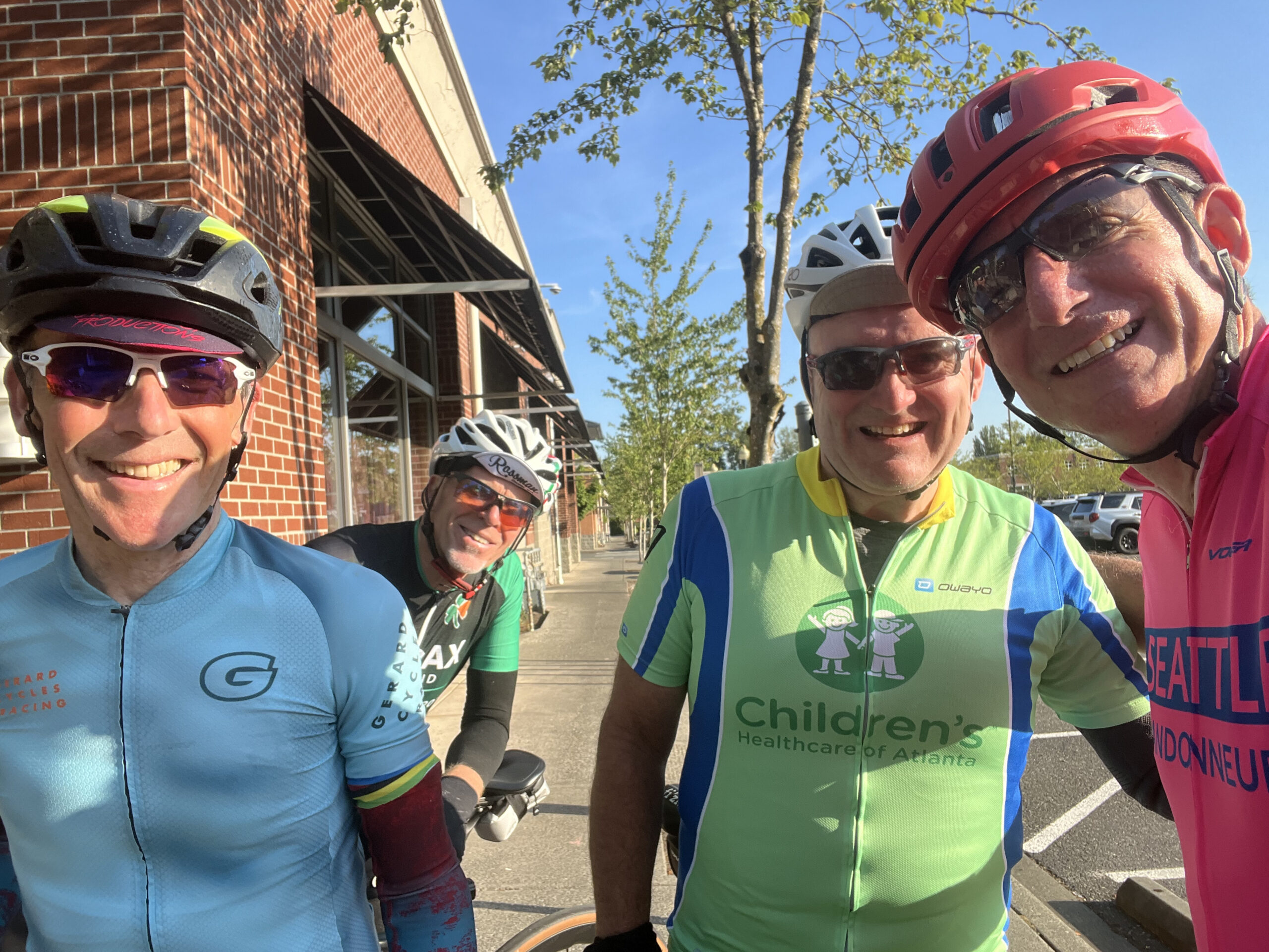
On to the ride…
Details
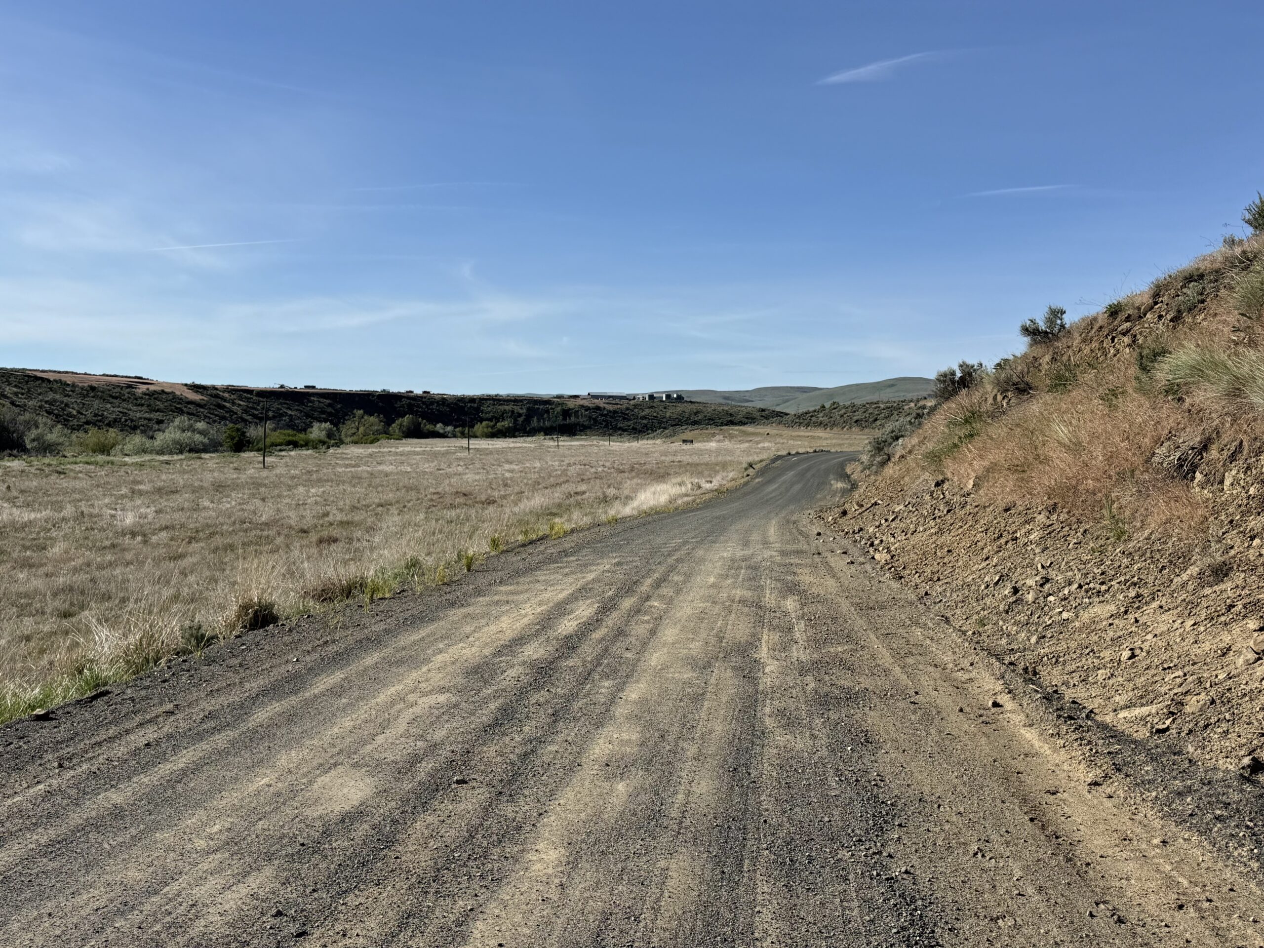
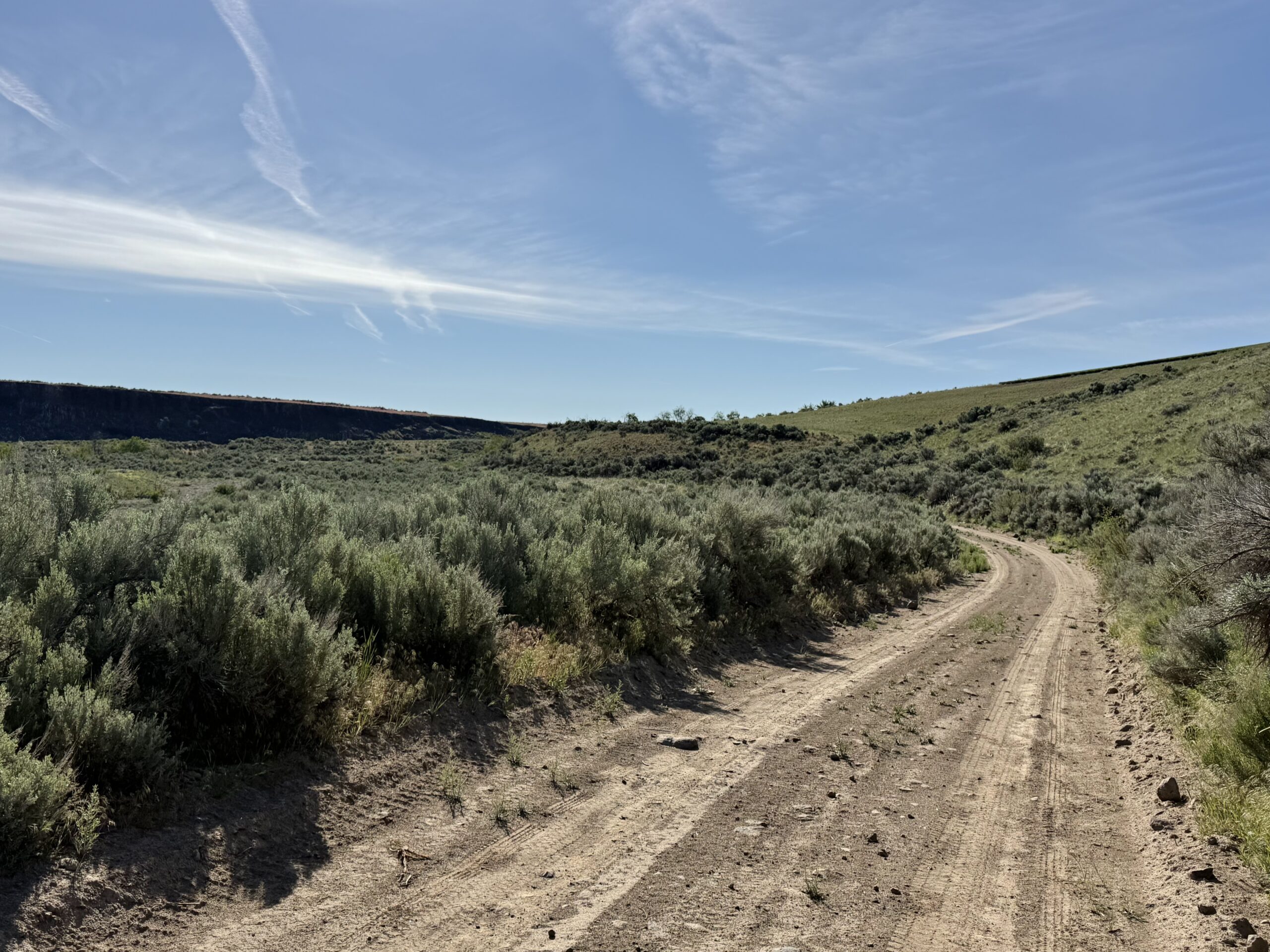
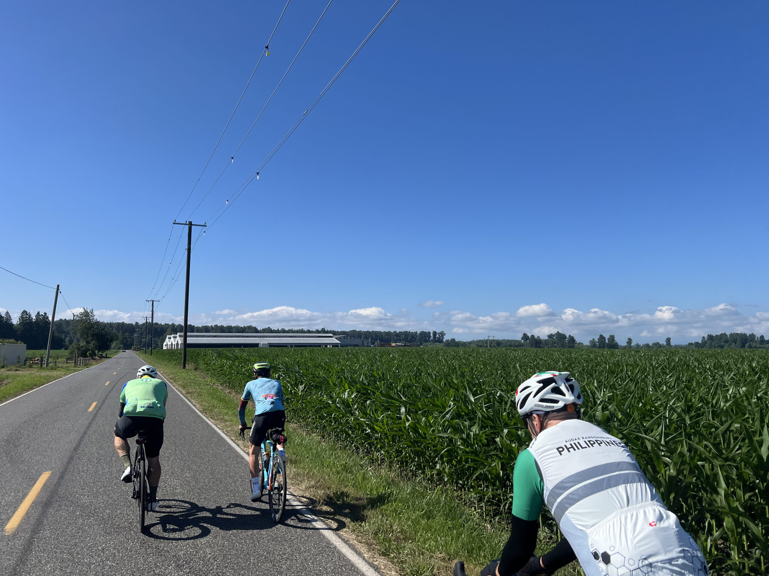
The ride starts with a straight shot north up Hannegan Road to Lynden. Fine shoulder and low traffic on a standard country road. There is a nice bakery on the corner of Front and 5th if anyone wants a quick pastry early in the ride. Bob was sad we didn’t stop.

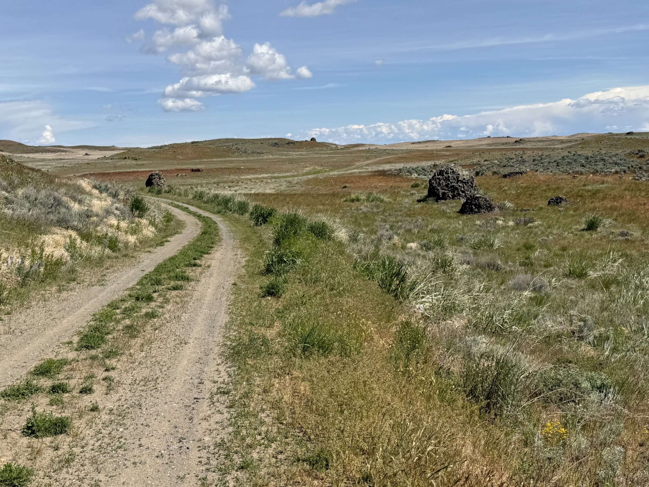
Leaving Lynden there’s a funky three-way stop where it wasn’t obvious that oncoming traffic didn’t have a stop sign so be cautious as you get on Hampton Road. South Pass is a bucolic rolling country road after which you’ll turn right for a slight downhill run down Kendall to join 542.
At this point it’s a straight shot along 542 until the road ends at the top at Artist’s Point. We stopped at Glacier for snacks and a chance to refuel before the main climb.
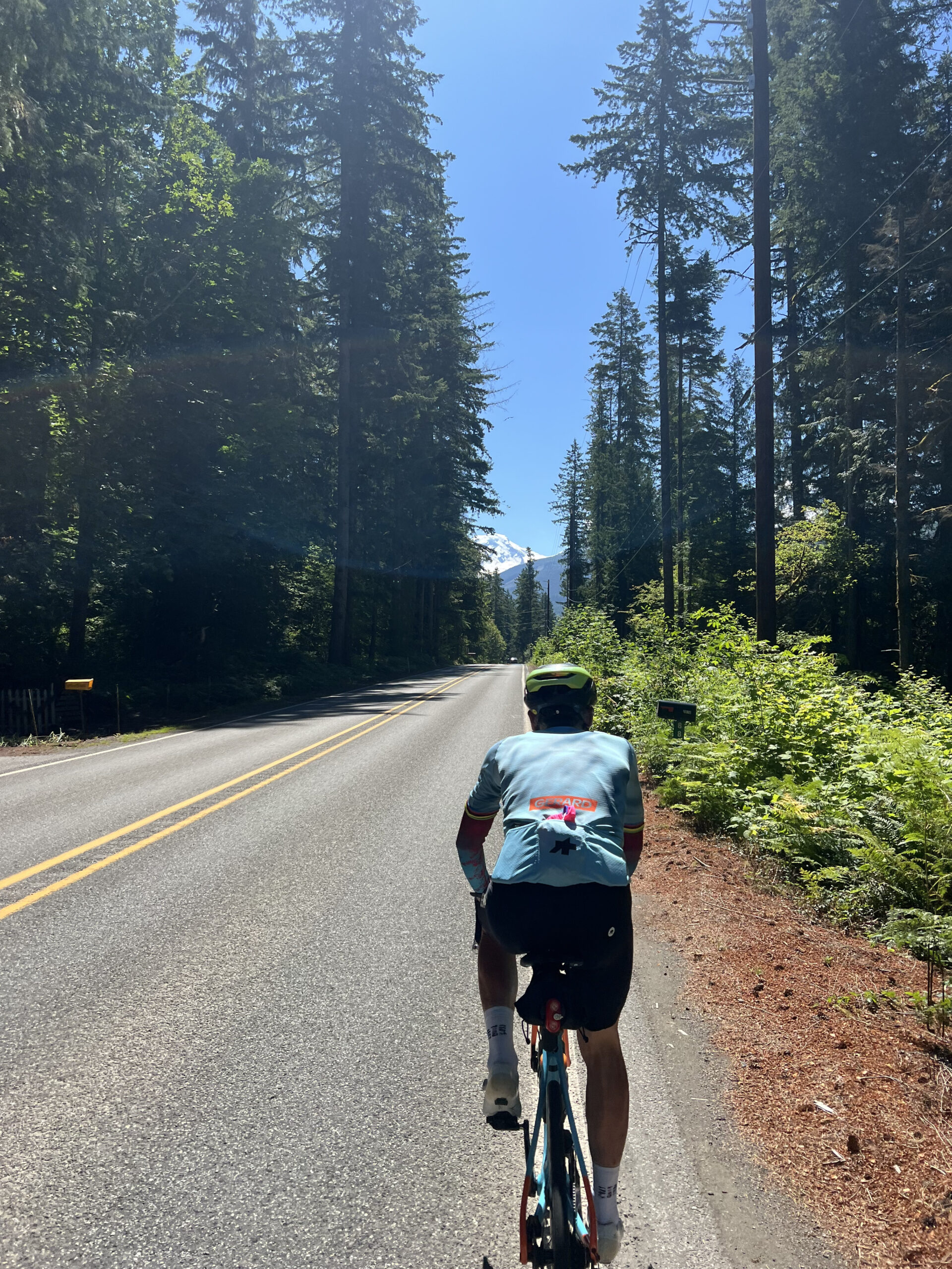
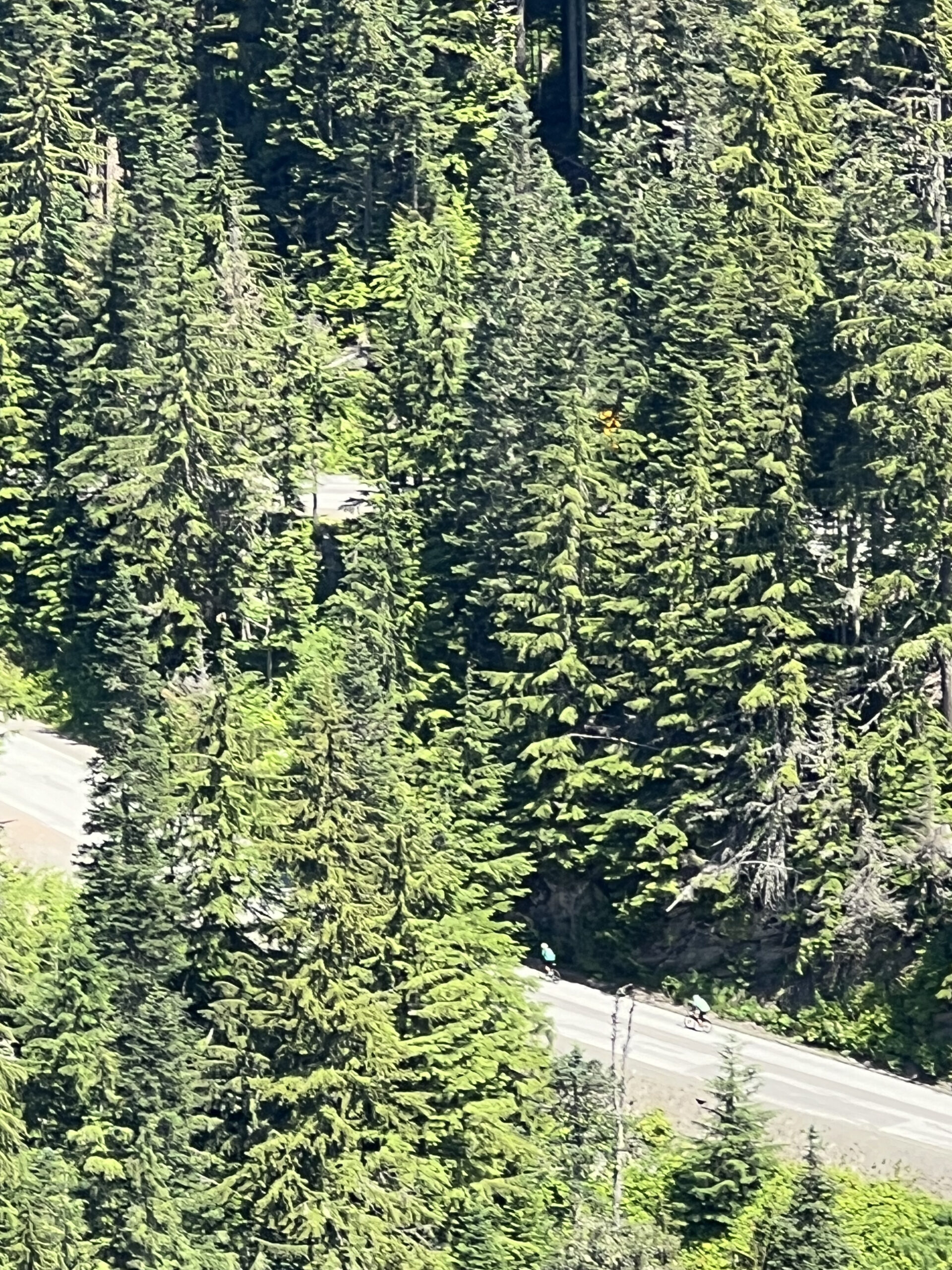
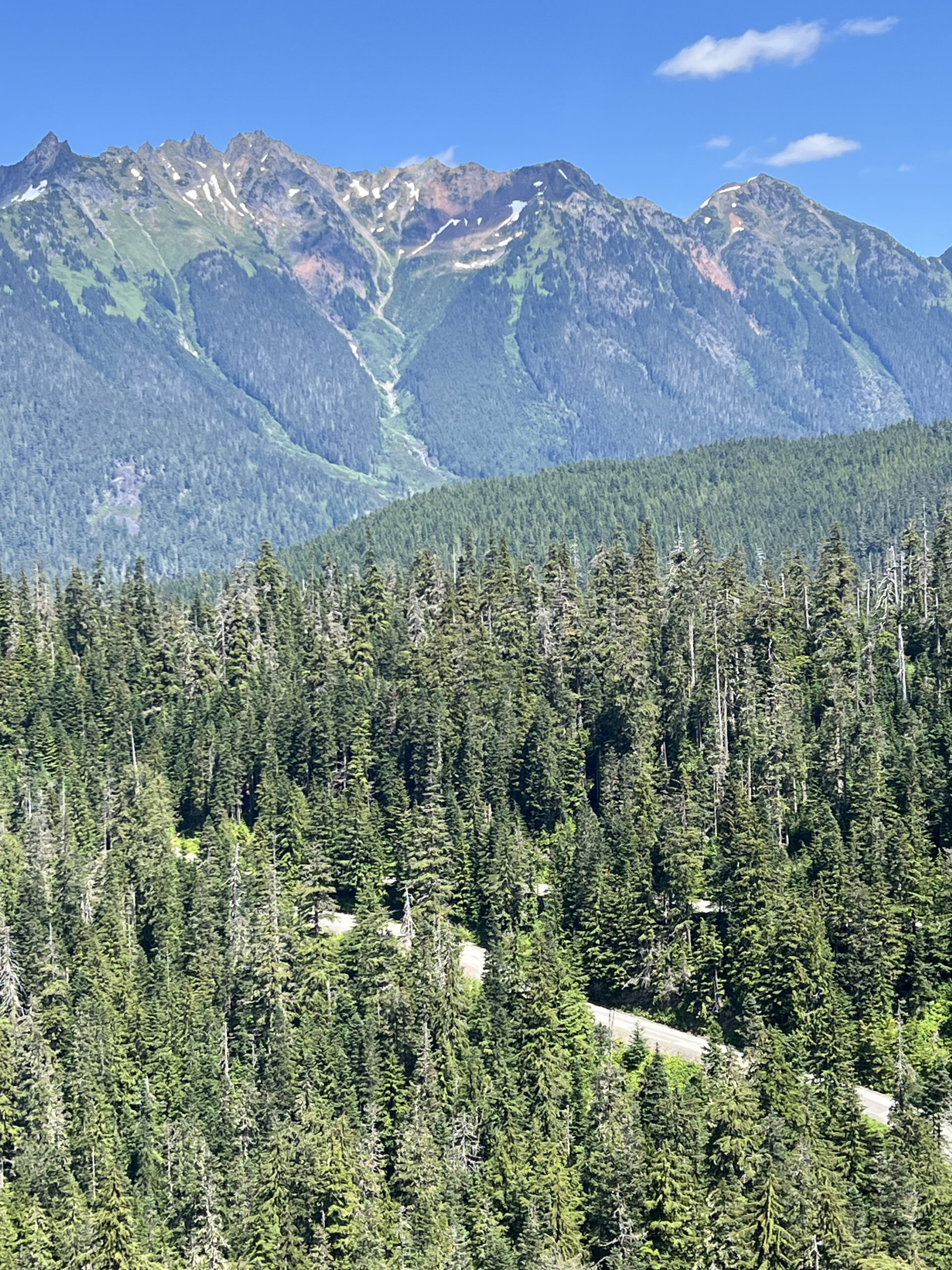
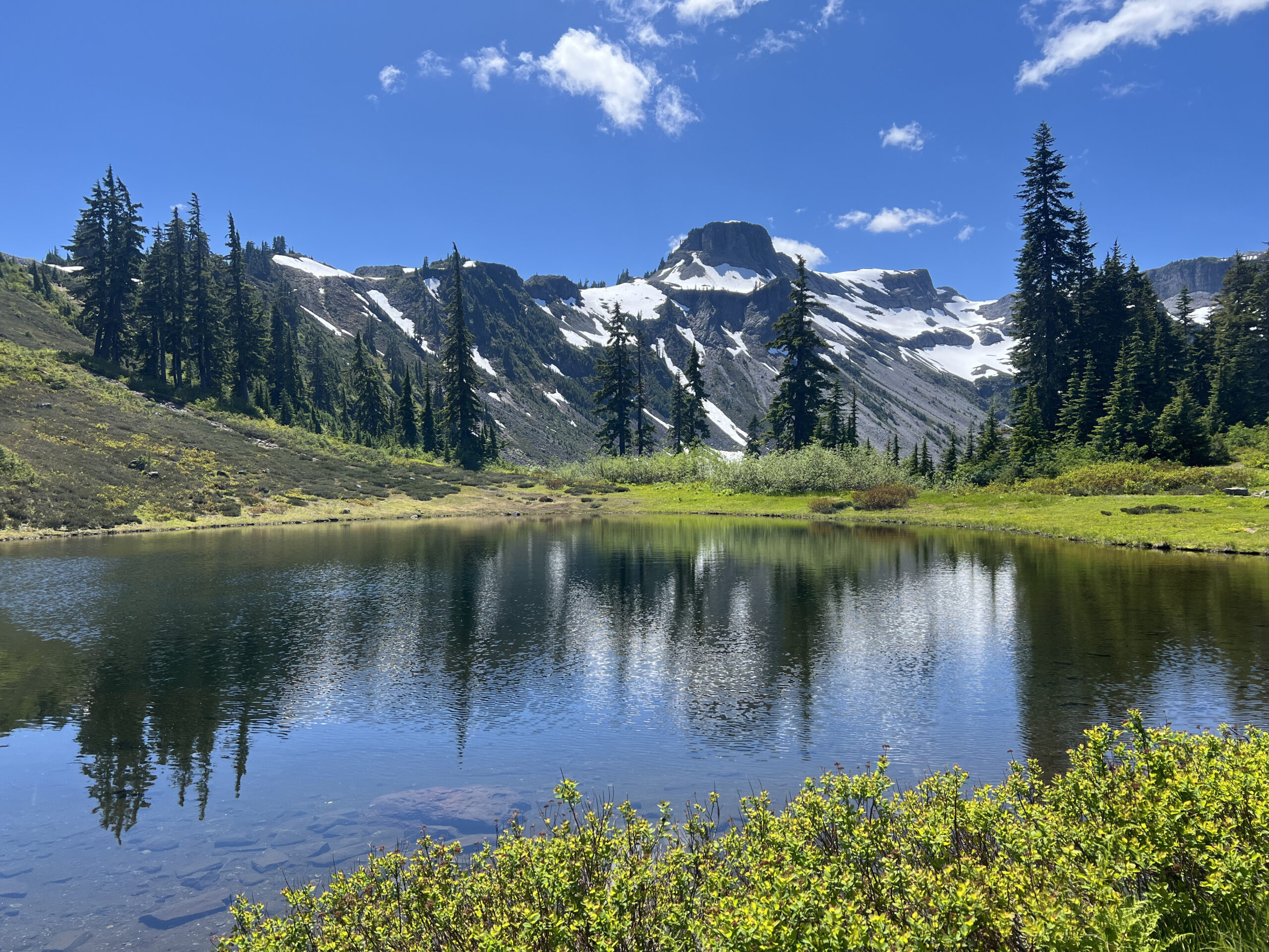
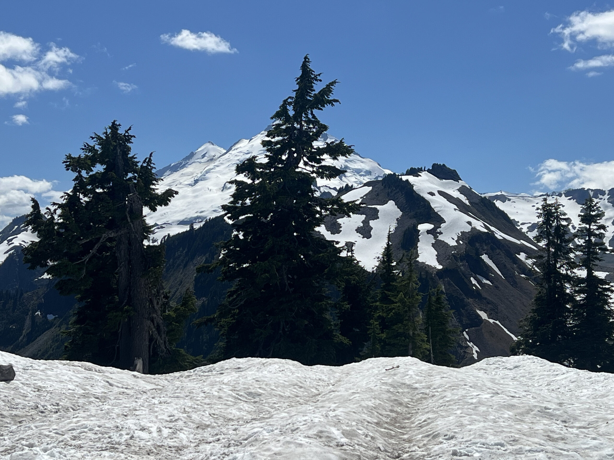
You’ll get glimpses of the mountains ahead as you approach Glacier. The main climb is in two parts, the first 12 miles from Glacier has a number of up and downs before reaching the WSDOT Shuksan Maintenance Shed at which point the main steady 10 mile climb starts. Settle in and enjoy the views on the way up.

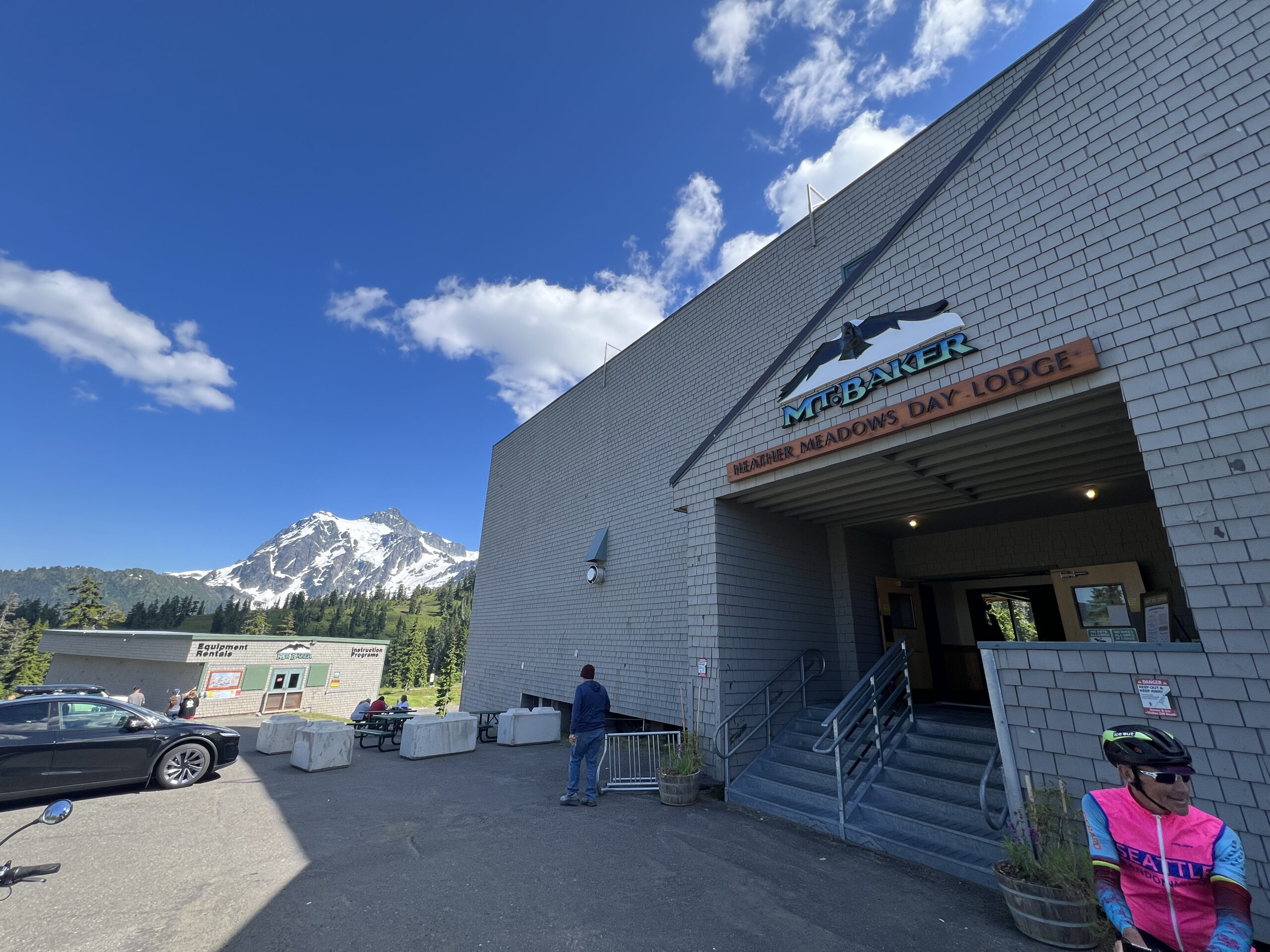
I recommend stopping at the Heather Meadows Day Lodge on the way down for food, drinks and decent toilets. It’s about 3 miles from the summit and well advertised.
Be careful on the descent as the pavement has some cracks at odd angles, particularly on some of the corners in the first half of the descent. Enjoy the way down, resupply at Glacier if needed and then cruise along 542 to the finish. There are a couple of parallel roads used when available on the way to the finish.
These are two different scenic stretches of a couple of miles each. There are also no shortage of gas stations and grocery stores along the way if any additional supplies are needed.
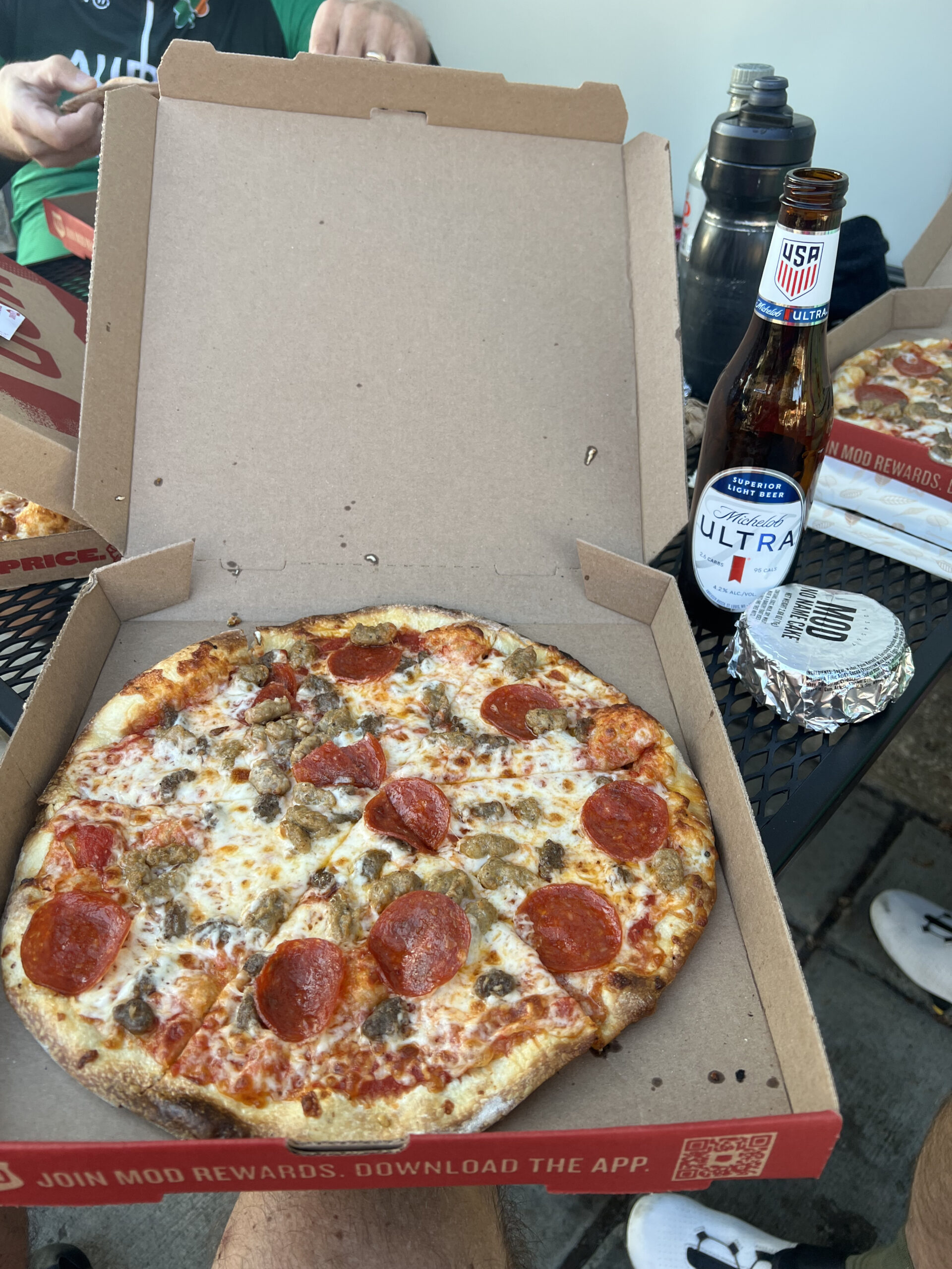
I’ll see you at the finish at MOD Pizza.