Tag Archives: 2026

2026 Summer 400K Pre-Ride Report

Text by Narayan Krishnamoorthy, photos by Chris Heg and Keith Moore
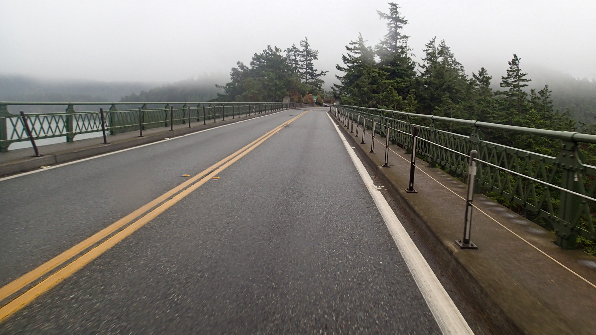
Crossing the Deception Pass Bridge onto Whidbey Island — photo by Chris Heg

La Belle Dame Sans Merci

We have long believed that the raison d’etre of randonneuring is “anything worth doing, is worth doing to excess”. The definitive proof of that is the wonderful, pretty, and cruel Fever Dream 400K course, lovingly conceived and initiated by my evil twin Keith Moore. In his defense, he came up with it in a fugue, and he certainly didn’t force me to pre-ride it. Besides, if you know anything of my randonneuring history, a seeker of big challenges I am not. But the other credo of randonneuring is also “friends don’t let friends do dumb things… alone”. However, I just had to test myself against it, to see if I could arrive at the finish in the time allotted.

We met at the Starbucks a bit after 5.30 AM, delayed only slightly by our vastly more talented fellow pre-rider Chris Heg’s  “inability” to locate his helmet. My first reaction was that he had finally come to his senses about pre-riding the course, but alas, he had just left it in his car, and willingly announced that he was prepared and able. Onward and upward, we would go.

We left at 6:00 AM. A few almost traffic-free kilometers found us on the Centennial trail, at which point the skies started dousing us with the occasional rain drop, which then turned into something a bit persistent, so we pulled over at the Nakashima Barn and donned our rain gear. We had been hoping to avoid that until about 9:00 AM, but sadly the rain would be an off and on companion through to the end of the ride. The ethos of the ride was “thou shalt not faff”, so we made quick work of the first kilometers until we got to La Conner, where a welcome potty break gave us a good excuse to stretch our legs, lose some ballast, and prepare ourselves for the rigors ahead.

Riders would be best served to follow our exact principle and not faff around until at least La Conner in the interest of banking the most time possible on what is the easiest part of the course. Mr Moore, you see, is a hard task master, but he at least gives you a head start. Carry food and water to last you awhile: I carried around 1400 calories on me.

The descent on Reservation Road is your final moment of respite, and you should savor it; the hills start with a vengeance at this point. The climb to SR 20 is a real doozy. A gentleman doing yard work told us “it gets worse” as we were huffing and puffing on the lower slopes of Deception Road. Care should be exercised from this left turn onwards until you clear Deception Pass Bridge, because the shoulders are narrow and debris-filled and traffic may be high. Keep moving and survive Whidbey. That is all there is to be said. I brought up the rear of the train on many a hill and my compatriots were patient and soft-pedaled and waited on many a hilltop. I remember walking one, which is a good way to stretch one’s legs.
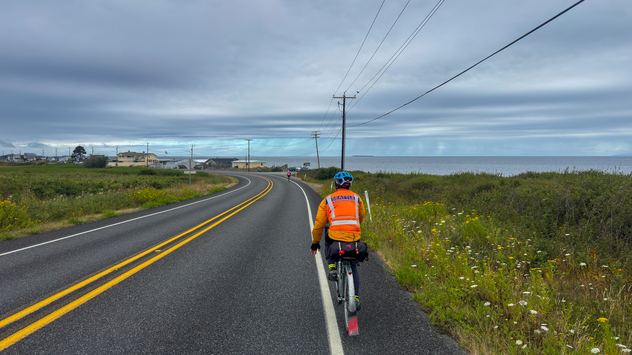
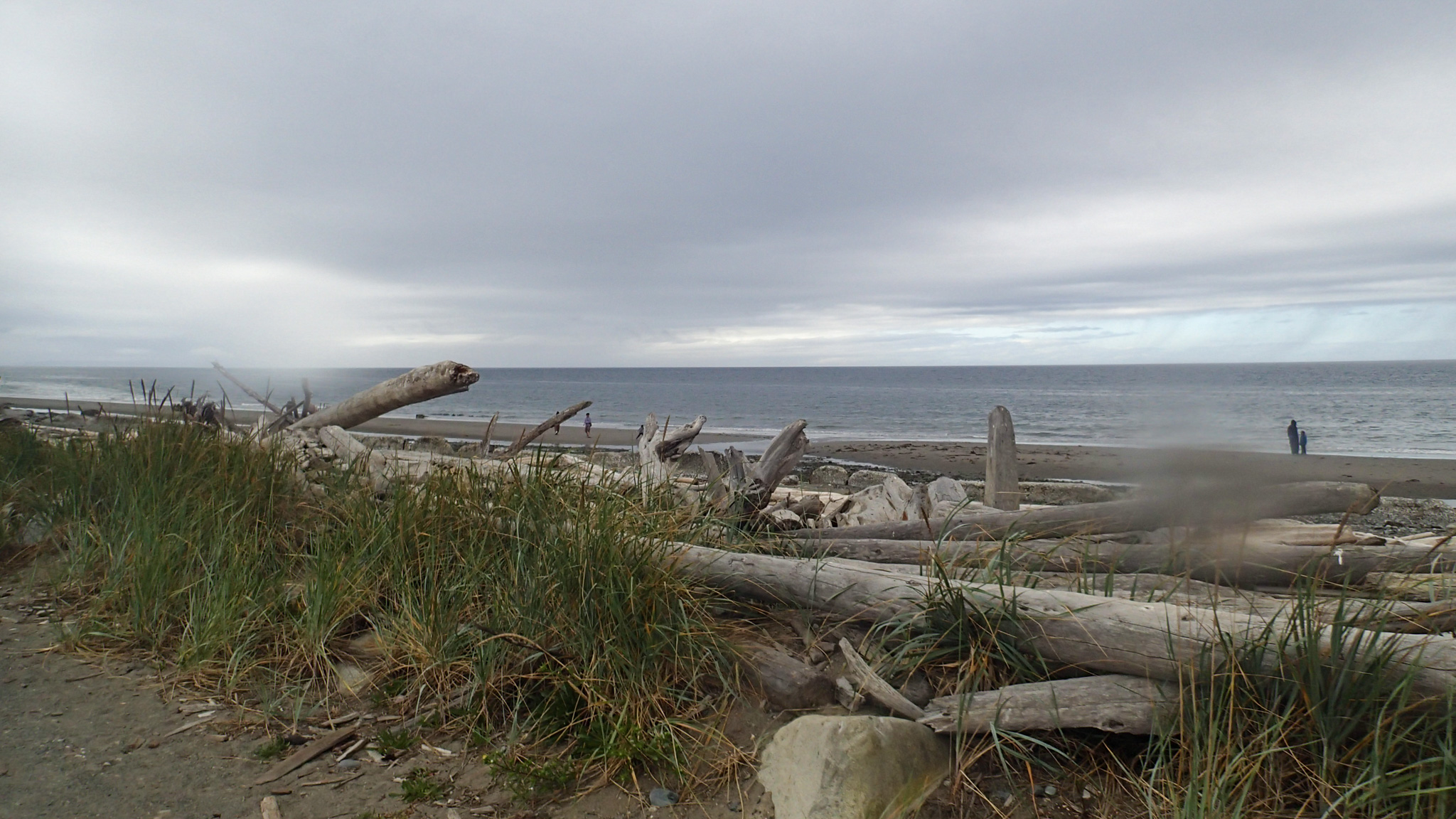
Approaching the beach near Joseph Whidbey State Park — photo by Keith Moore
West Beach on Whidbey Island — photo by Chris Heg

On Whidbey, we stopped every 40-50K for a few minutes to refuel, rest up, or deal with minor mechanicals. Chris had a loose crank – no pun intended – and Keith had the right tool to fix it until Chris bought a new set at our Langley stop. Speaking of mechanicals, start this ride with a well maintained bicycle. The route is tough as is, banking time in any abundance is going to be hard and you don’t want to hurt your chances even more by riding something that is going to be less than reliable.
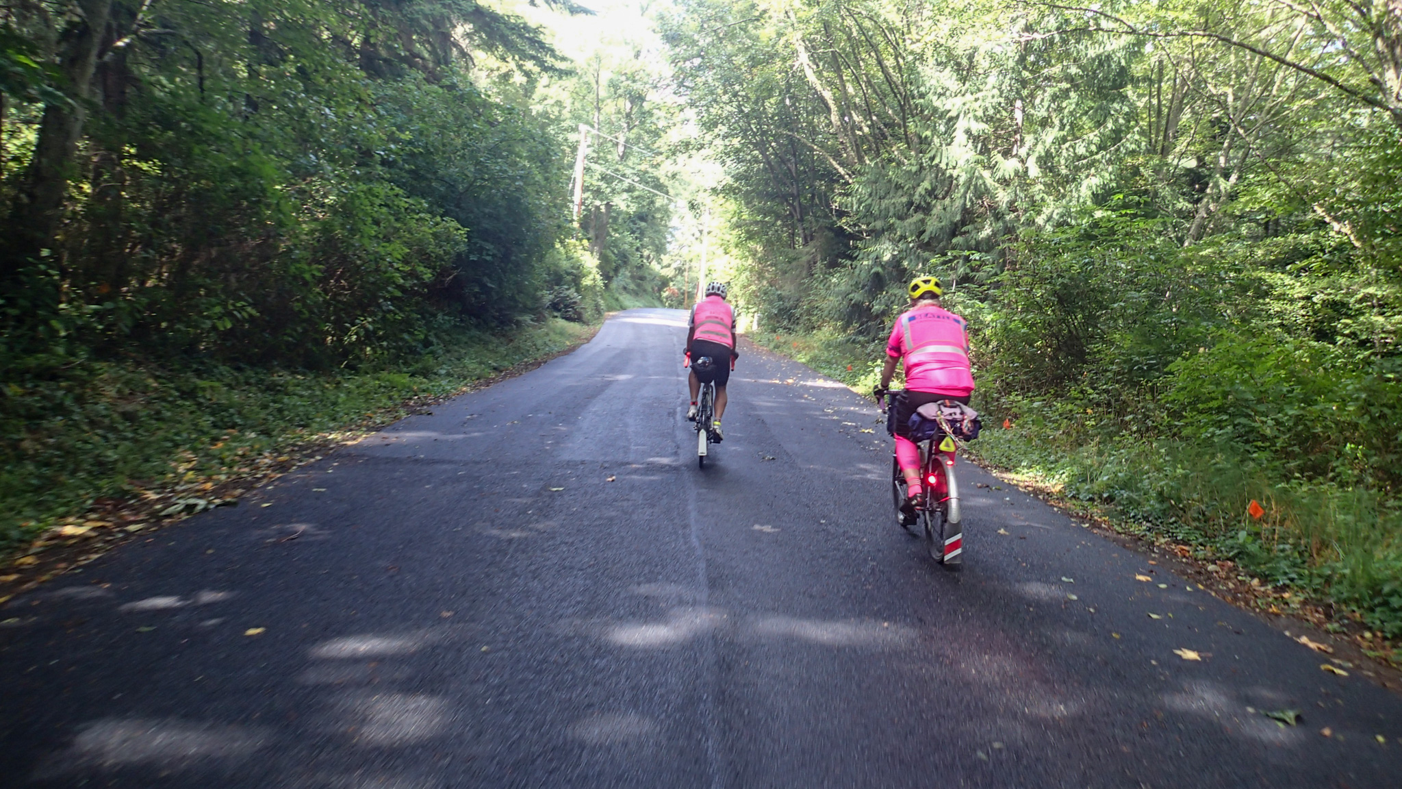
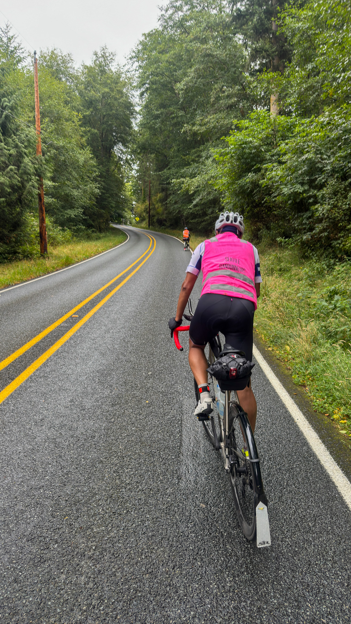
Photo by Chris Heg
Narayan powering up Lancaster Road on South Whidbey Island — photo by Keith Moore

Our grand goal was to get off Whidbey by sunset, a goal we missed by a small margin of an hour and 15 minutes. The route goes around the hard direction around the Island but you are blessed with some fantastic views of the water, the mountains, and farms. Traffic is calm on all of the side roads except on SR 20 and SR 525, so please take care on those. It will likely be dark when you head north across the bridge to get off the island. Also, do not be shy to ask to ride with your fellow starters near dusk and into the night. It is safer than riding alone and company at night makes the miles melt away faster. 

Once you cross Deception Pass Bridge to exit Whidbey, take care for the next few kilometers as you come to the right turn onto Deception Road. Take this descent carefully. The hills don’t end until after crossing the bridge into La Conner, but we had rain to deal with, which hopefully you lot don’t have to. You will probably ride into the Stanwood Arco in the wee hours of the night. But believe me, it will be the second most wonderful sight on the ride. We got ourselves some coffee, more food and set off to conquer Camano.

Trust me when I say Camano will feel easier after the rigours of Whidbey. You will have had some flat sections getting there and so may have had a chance to recover, a touch. The first few kilometers are easy, with the first climb after the right turn onto E North Camano Road. We saw not a single car until the left turn onto Eiger Bay Road, which was a first for us. Keep an eye out for traffic at all times, however. You may not have the same fortune as us. We had some loose chipseal to deal with and hopefully it’ll be fixed by the time you get there.

Sorry about the hill on Russell Road, but hey it’s low traffic and is one of the last few climbs. A few short climbs later you should be off Camano, watch that descent however. We were set for food and water and so skipped the Arco stop on the way back. The skies had started to lighten up for us at this time. We had a bit more rain on Pioneer Highway, which was cruel and there was some traffic. Take care on this road as it is curvy and you could go off the road as a friend of mine did on a 400K several years ago. You will cross the 400K mark a short while after the turn onto Smokey Point (which I always think of as Smoked Bacon Road, for some reason) and when you see the Little Caesar’s on your left it is time to turn left and you should see the most glorious sight in the world, and that is the finish.

Congratulations and resist the urge to call Mr Moore any unflattering names. You have now finished one of the hardest 400s in the Pacific Northwest.
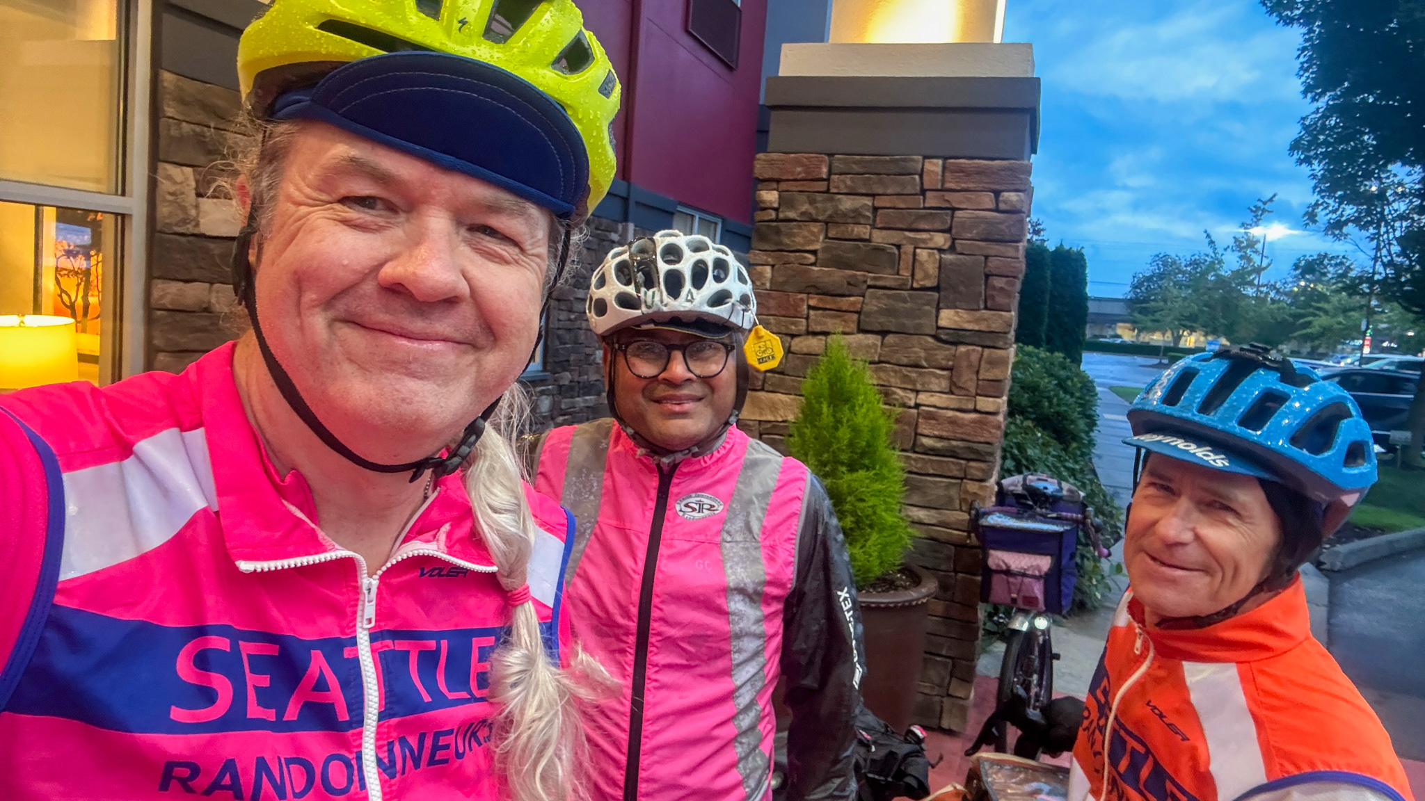
At the finish 23:49 later, looking much fresher than we felt — photo by Keith Moore

Bonne route!
Leave a Comment

Filed under Brevets, Pre Rides, SIR Rides

2026 Summer 200K Pre-Ride Report

General Info

Parking at the start has a two hour time limit so we parked in the large lot just on the other side of Woburn St.

This is a beefy ride with 8000ft of climbing. The start time is changing to 8:00 AM to allow for maximum daylight for those full value riders. Please ensure you have lights and reflective gear for the last hour just in case.

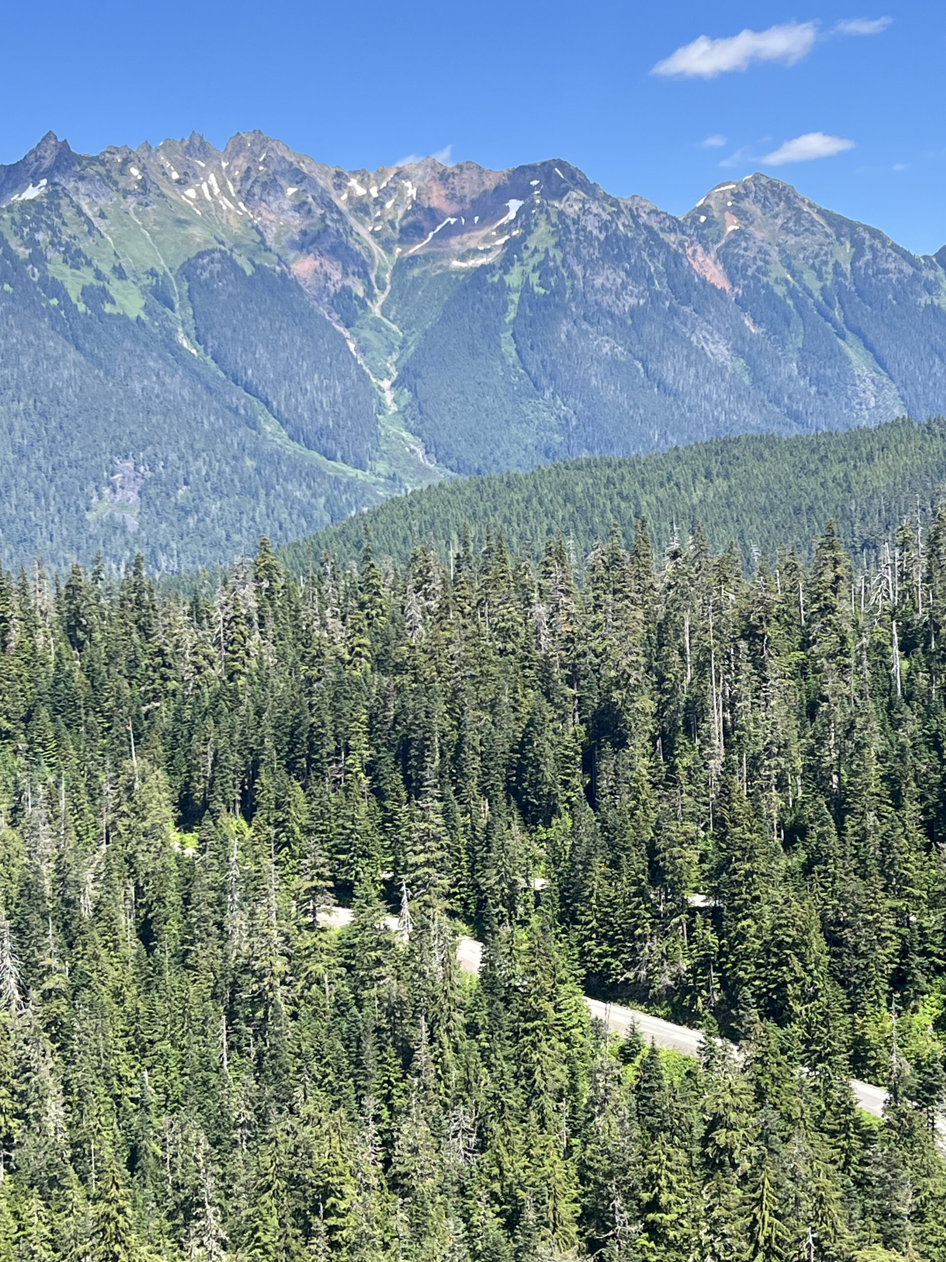
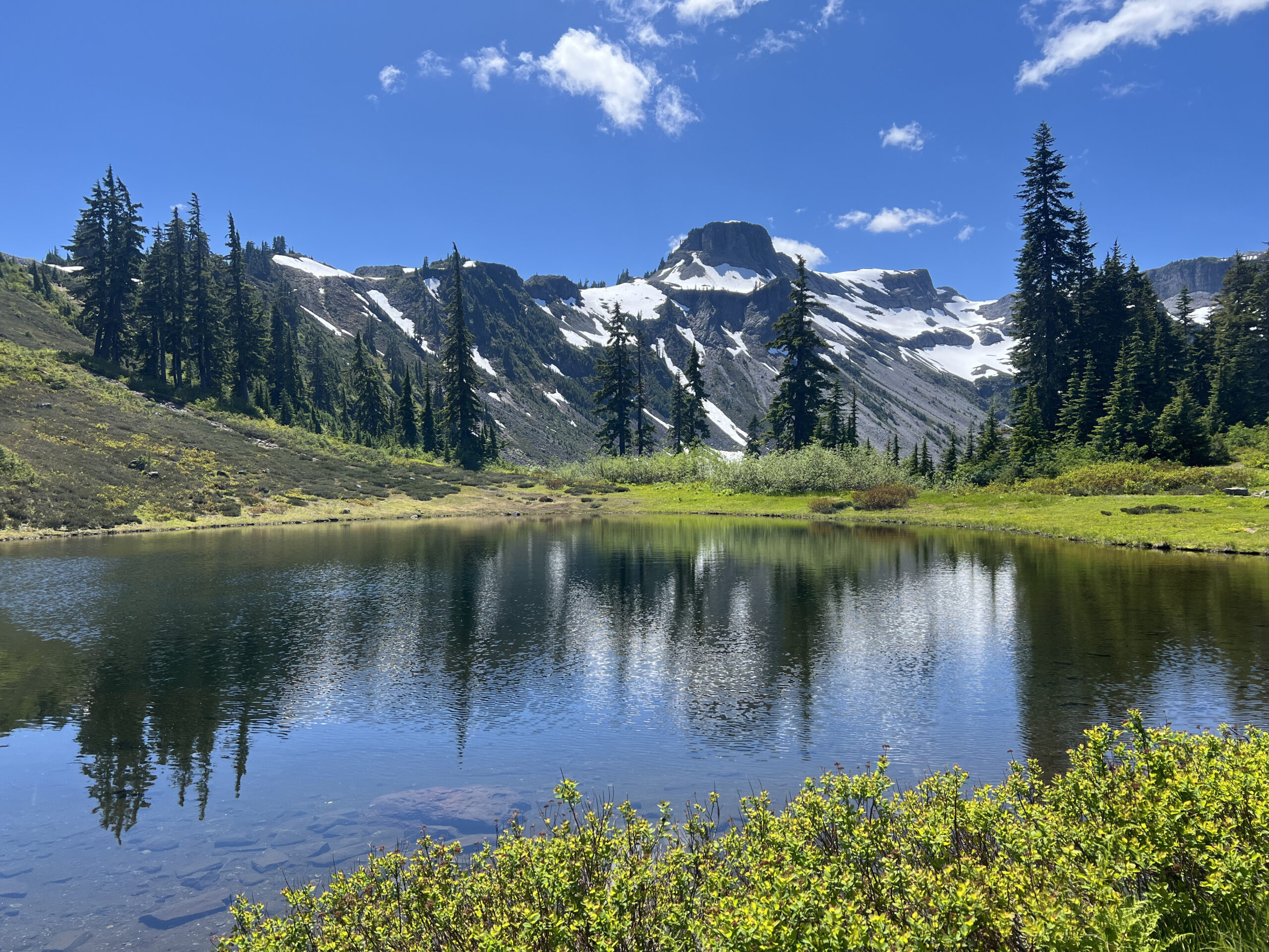
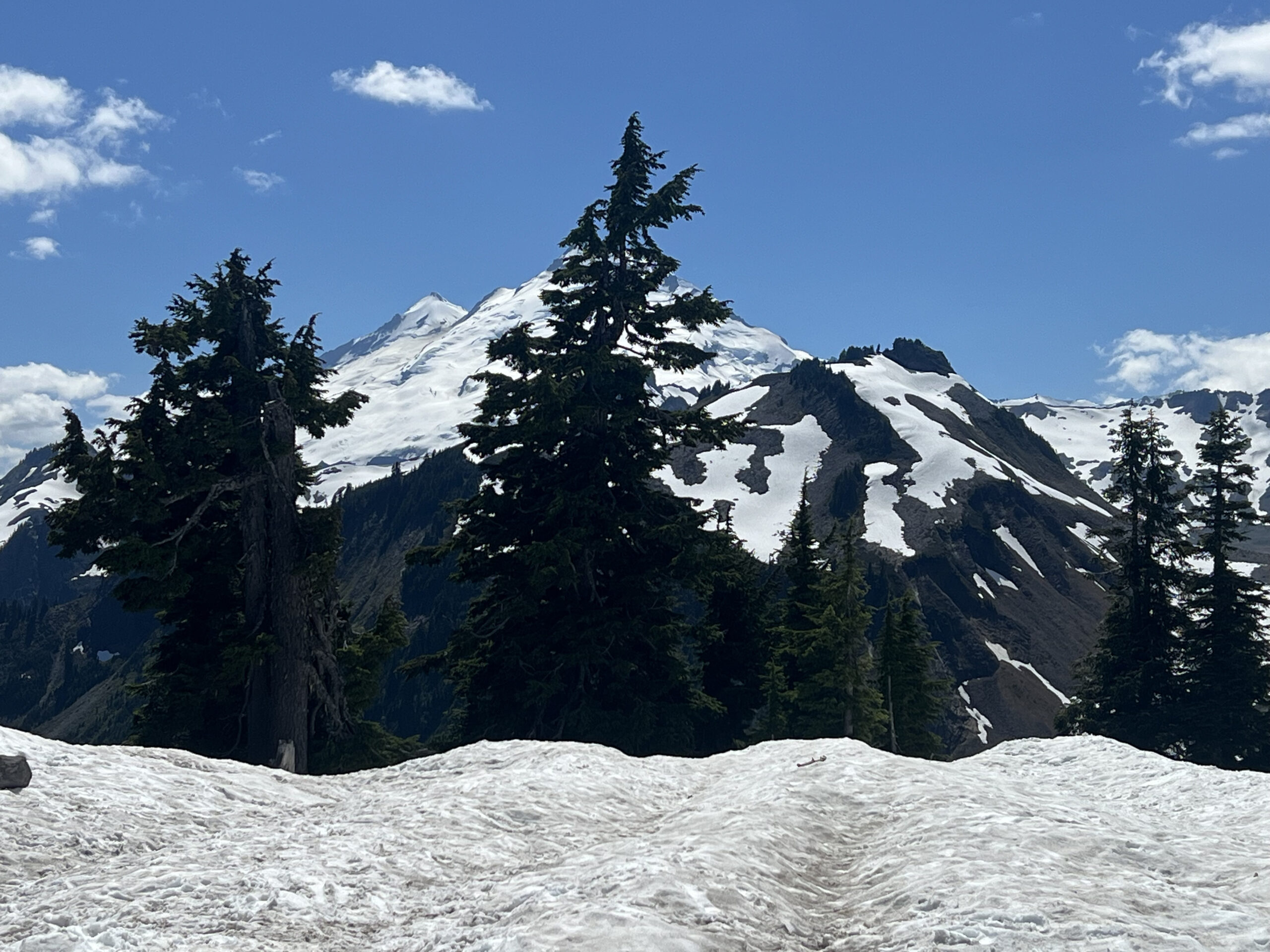
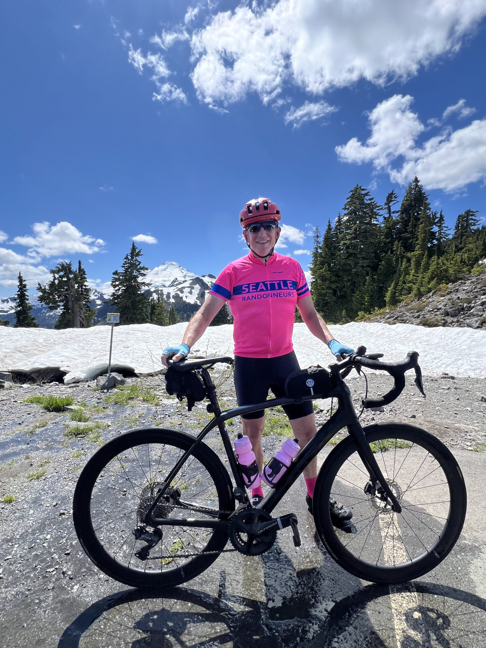
Once thing to note is that you are trending uphill for the first 70 miles with one major climb. Don’t panic if it seems to be pretty late in the afternoon when you are reaching Artists Point. For reference we took about 7 hours to the turnaround point and then 3 hours to the finish for the last 55 miles, I expect a rule of thumb of about 50% of whatever time it takes you to get to the top for the remainder of the ride to hold up.

This ride does have a fair bit of time on a major road (Highway 542) and traffic is likely to be heavy. There is an intermittent shoulder on the highway and we did encounter a few impatient drivers. We were in a group and felt relatively safe throughout but it is worth calling out so that people can make the right decision for their personal comfort level.

Be careful on the descent from Artist’s Point, the road is broken up and cracked on some of the corners. If you pay attention it’s fine but you don’t want to go full gas from the top.

Both Hannegan Road and Highway 542 had intermittent rumble strips which were at times hard to see.

On to the ride…

Details

The ride starts with a straight shot north up Hannegan Road to Lynden. Fine shoulder and low traffic on a standard country road. There is a nice bakery on the corner of Front and 5th if anyone wants a quick pastry early in the ride. Bob was sad we didn’t stop.

Leaving Lynden there’s a funky three-way stop where it wasn’t obvious that oncoming traffic didn’t have a stop sign so be cautious as you get on Hampton Road. South Pass is a bucolic rolling country road after which you’ll turn right for a slight downhill run down Kendall to join 542.

At this point it’s a straight shot along 542 until the road ends at the top at Artist’s Point. We stopped at Glacier for snacks and a chance to refuel before the main climb.

You’ll get glimpses of the mountains ahead as you approach Glacier. The main climb is in two parts, the first 12 miles from Glacier has a number of up and downs before reaching the WSDOT Shuksan Maintenance Shed at which point the main steady 10 mile climb starts. Settle in and enjoy the views on the way up.

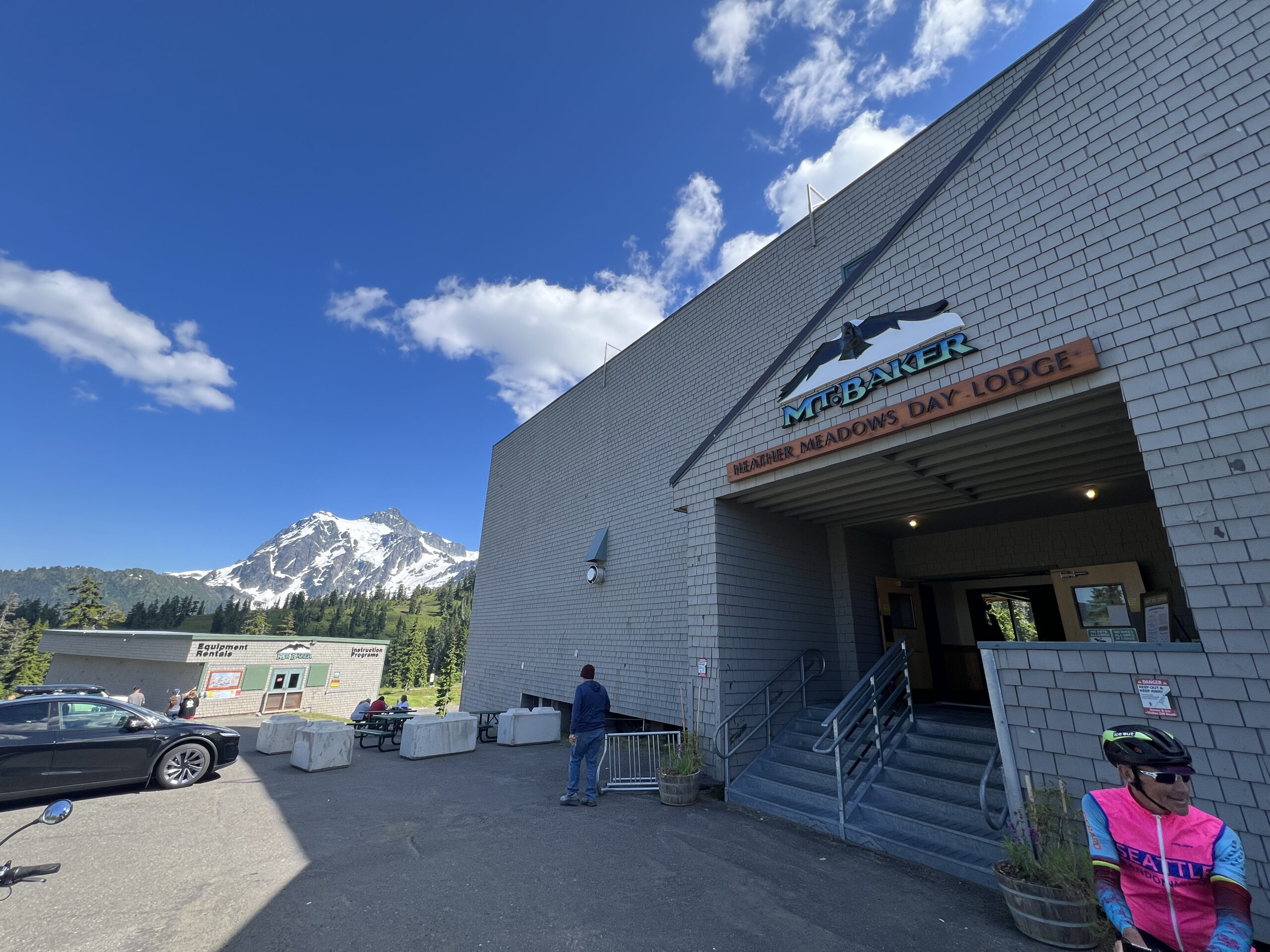
I recommend stopping at the Heather Meadows Day Lodge on the way down for food, drinks and decent toilets. It’s about 3 miles from the summit and well advertised.

Be careful on the descent as the pavement has some cracks at odd angles, particularly on some of the corners in the first half of the descent. Enjoy the way down, resupply at Glacier if needed and then cruise along 542 to the finish. There are a couple of parallel roads used when available on the way to the finish.

These are two different scenic stretches of a couple of miles each. There are also no shortage of gas stations and grocery stores along the way if any additional supplies are needed.

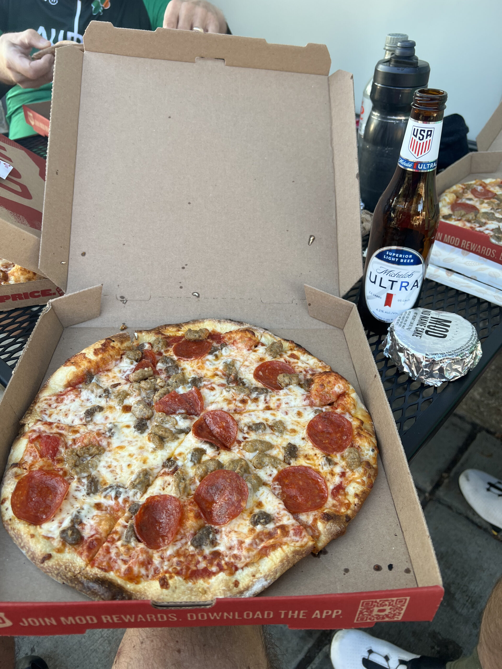
I’ll see you at the finish at MOD Pizza.

Comments Off on 2026 Summer 200K Pre-Ride Report

Filed under Uncategorized

2026 Waterville Gravel Populaire Pre-Ride Report

Text by Scott Stroming as told to shiggy, photos by Scott Stroming.

112K, 4000′ of climbing.

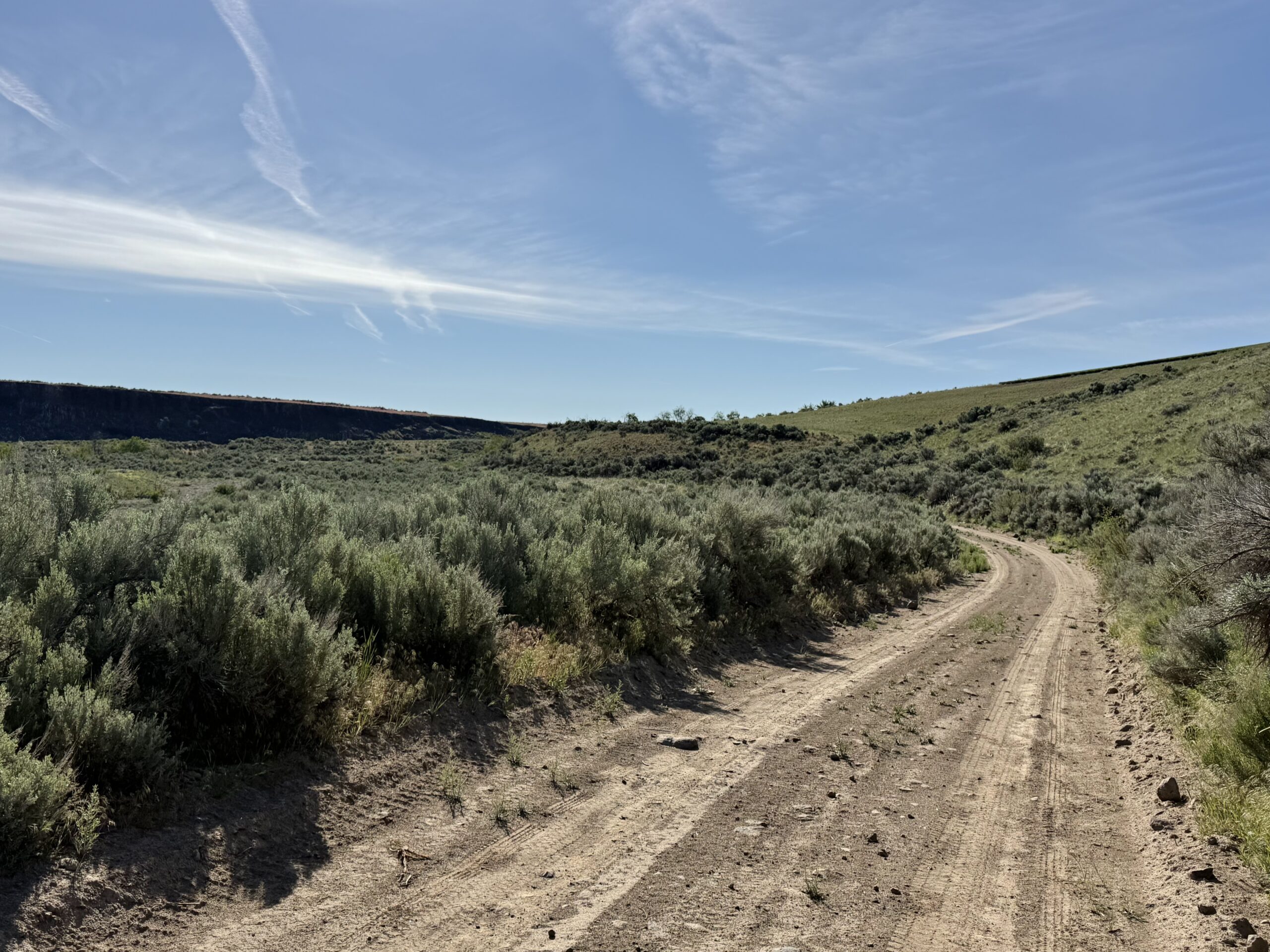
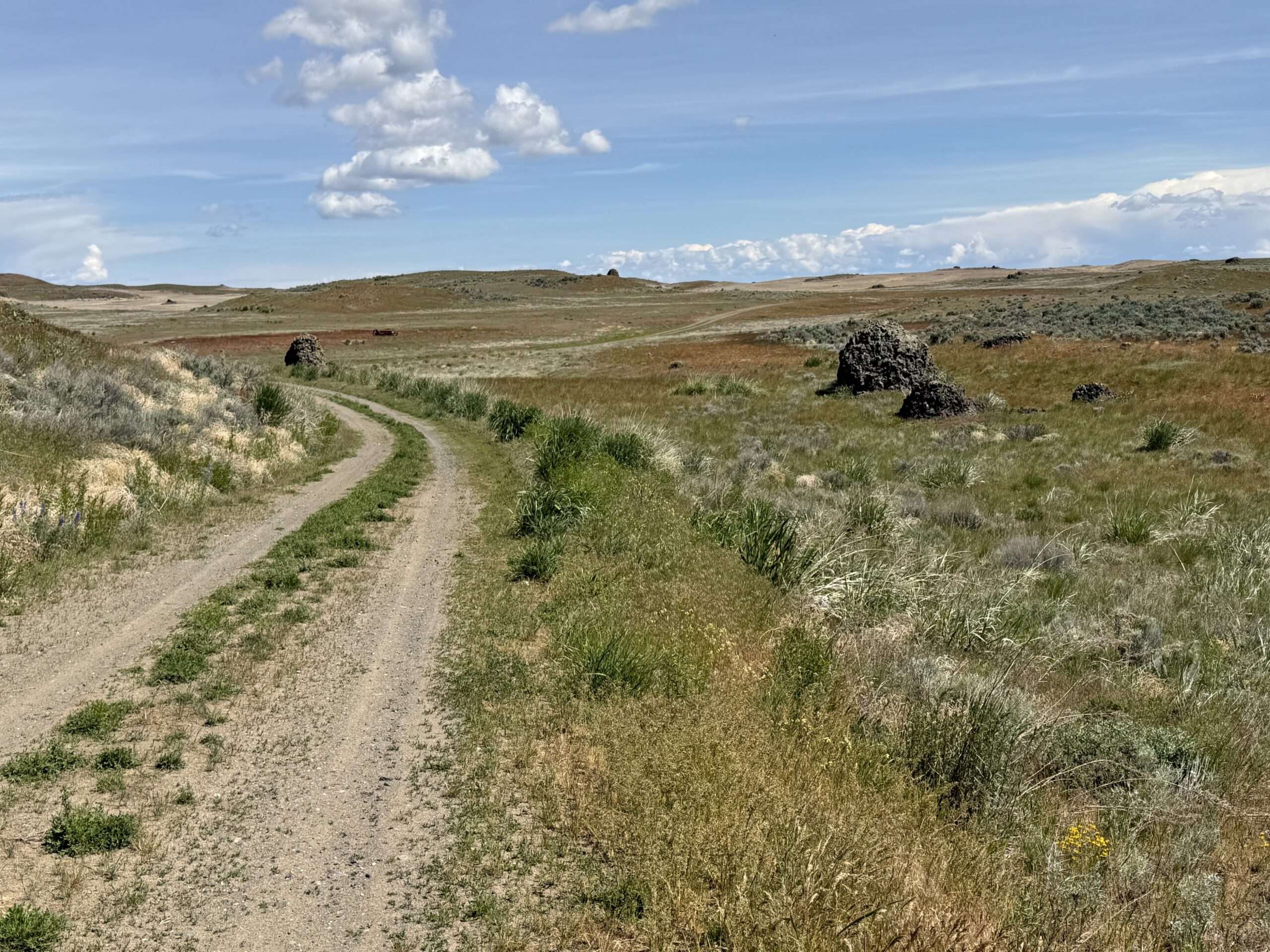
A beautiful spring ride that exceeded my expectations, south to Douglas Creek all the way north to the ancient glacial moraine, magnificent views west and north, lots of single lane double track—and I thought I already knew the Waterville Plateau!

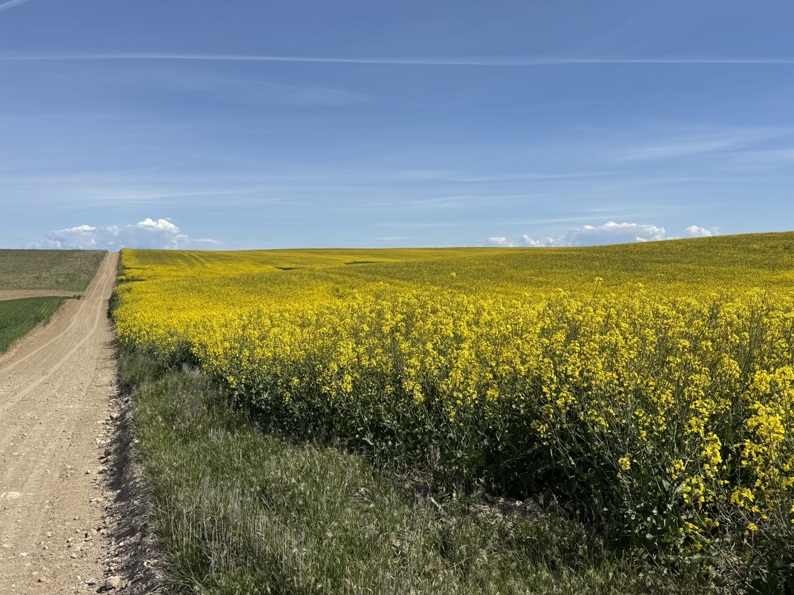
Its a great course running through the upper part of the Douglas Creek canyon into the sage steppe and wheat fields to the Withrow Marine at the north end and back. Ever changing surfaces and vistas. Plus the wildflowers are popping, the canola in bloom (yellow fields) and the wheat is knee high.

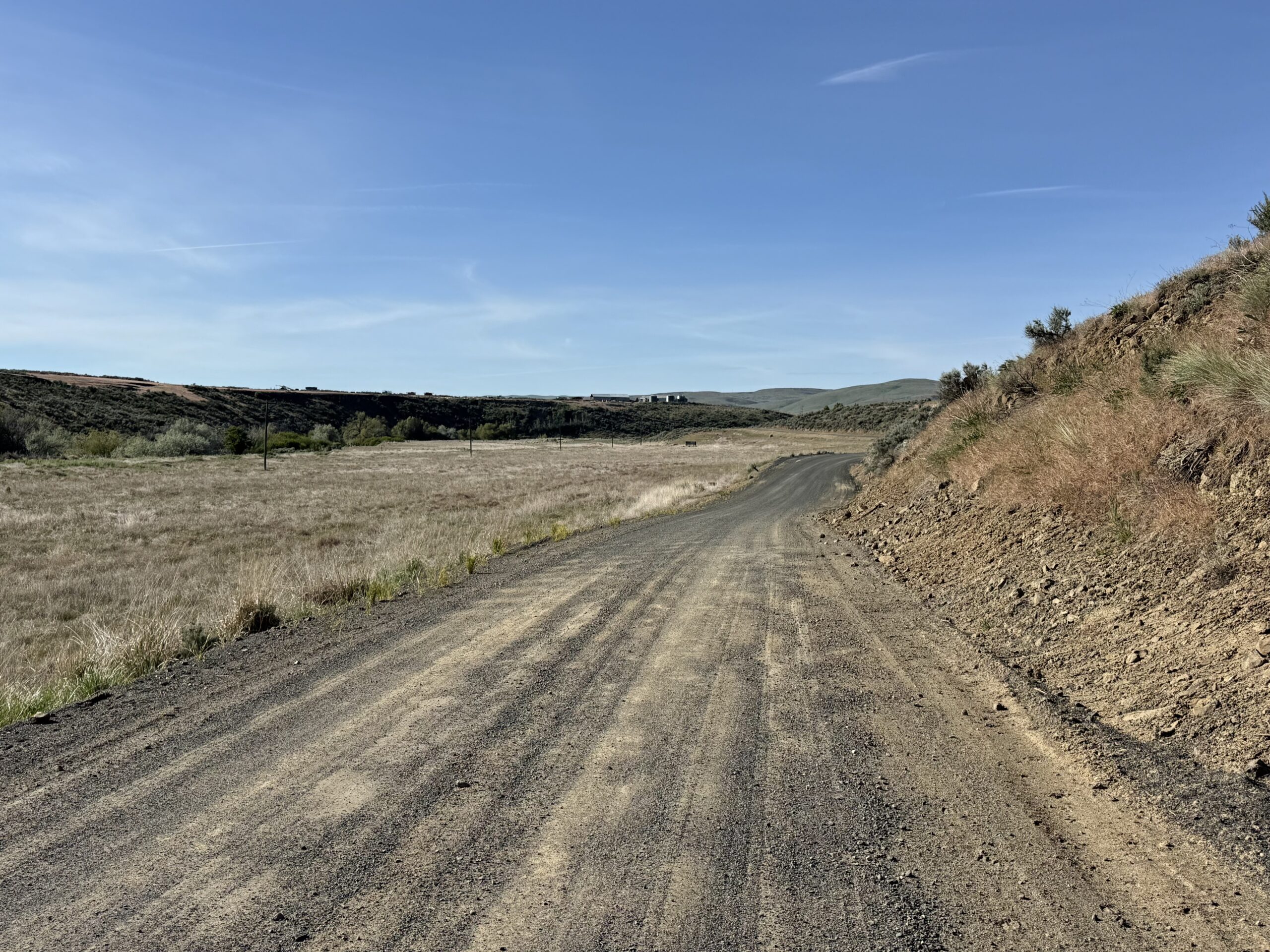
There are three types of gravel and I want people to know that I feel like this isn’t a fast course. I think the course needs to be ridden with wide tires and attention:

  • There is the gravel for the wide roads which has pretty high rolling resistance.
  • Then there is dirt, which is a lot of fun.
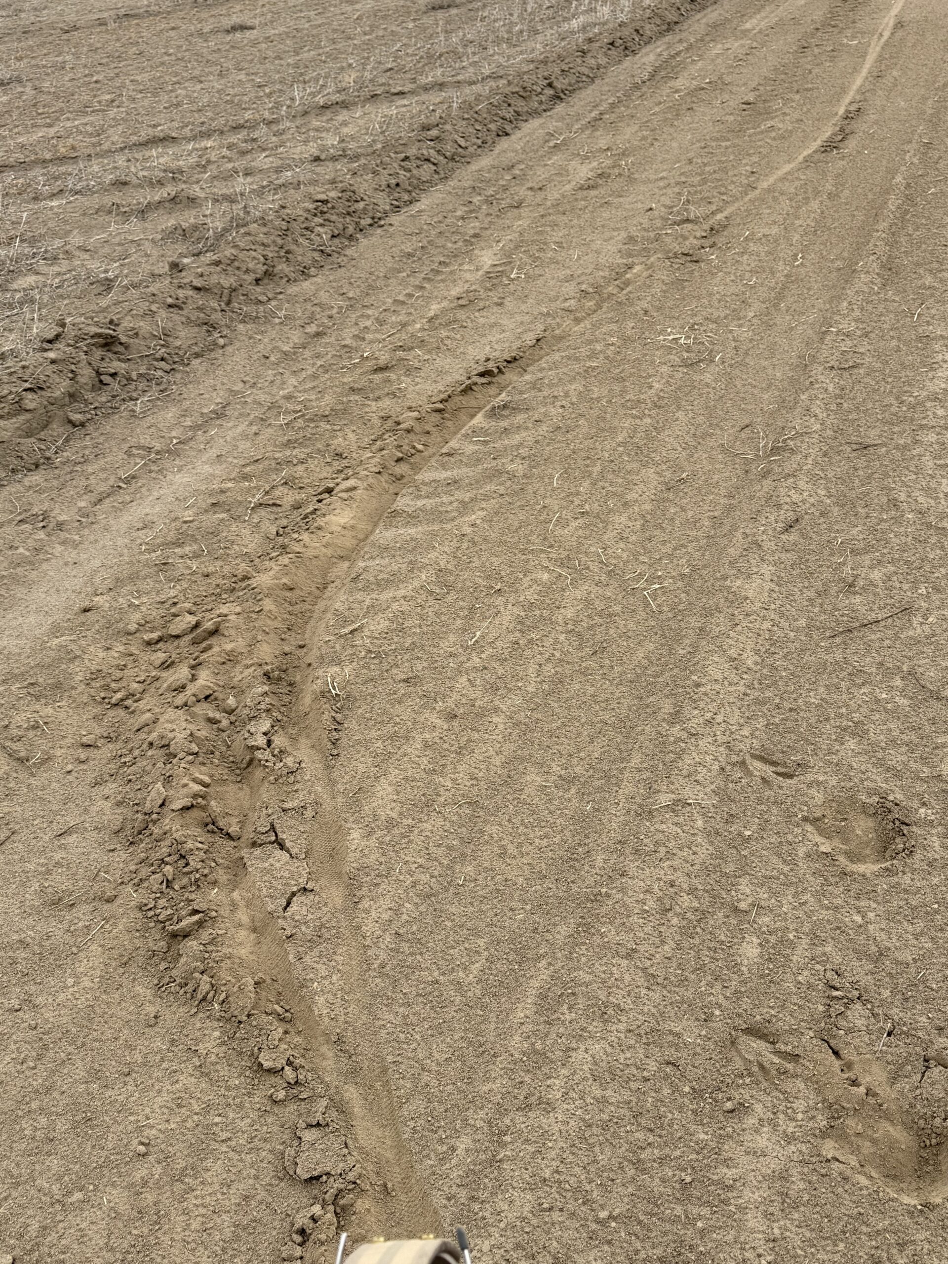
  • The third is the silt, almost sand. It has been packed down by rain, but you can’t easily tell when it’s going to get really deep and soft.

Be cautious when going into dips and the steeper descents which can have rocks and ruts with sand at the bottom so you really can’t let it rip.

I wish I had tires with a bit more tread and width for traction.

The forecast is good of Saturday with mild temperatures, light winds and the possibility of scattered thundershowers.

Comments Off on 2026 Waterville Gravel Populaire Pre-Ride Report

Filed under Uncategorized

2026 Winter Rouleur 125K-149K Pre-Ride Report

Text and photos by Owen Richards

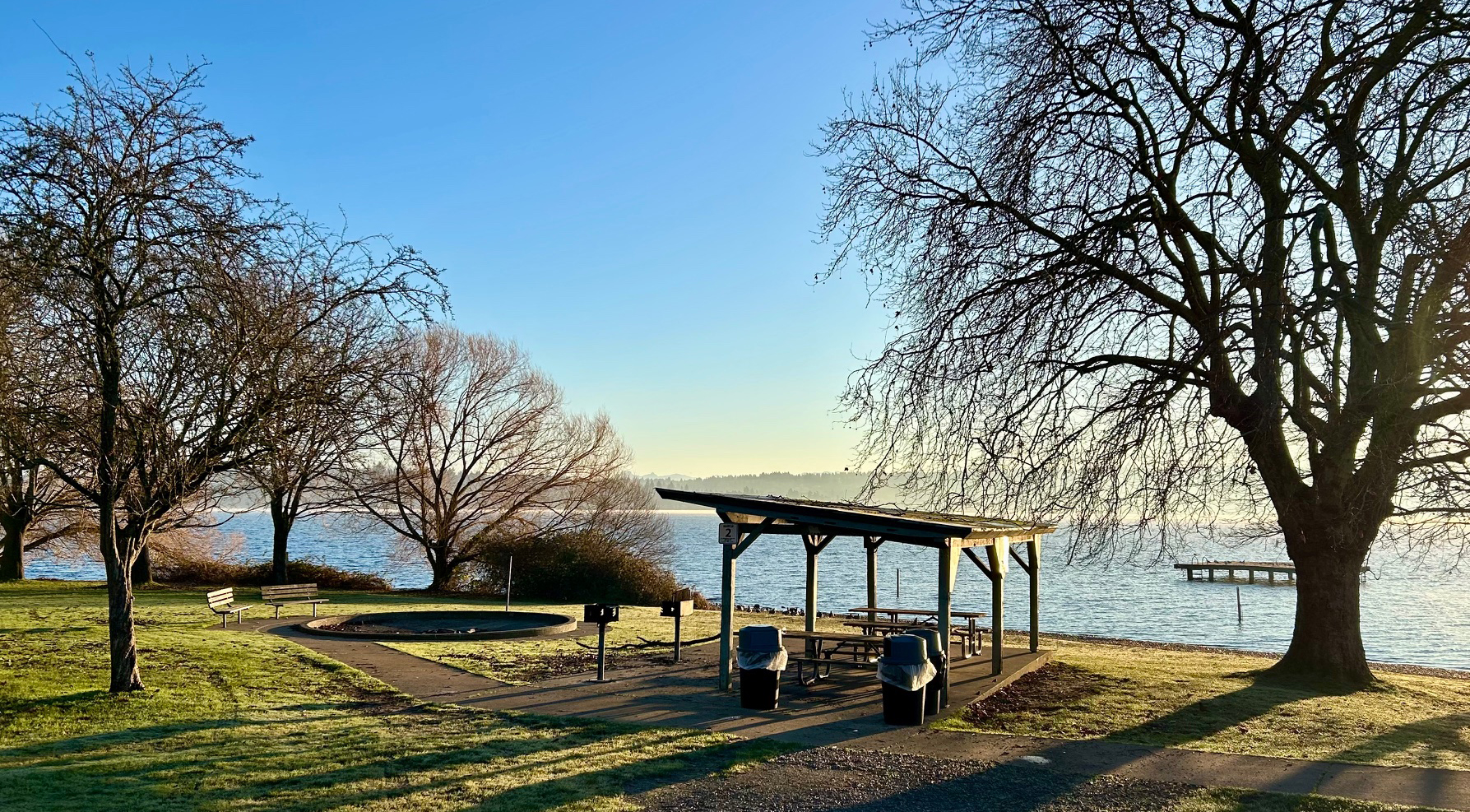
Magnuson Park Beach

This ride celebrates Seattle’s extraordinary natural setting and urban culture, so there are plenty of
distractions and urban trails combined with a fair bit of climbing: no time for much dawdling, but please don’t rush either; enjoy our amazing city, and be especially careful on the pathways we’re sharing with pedestrians.

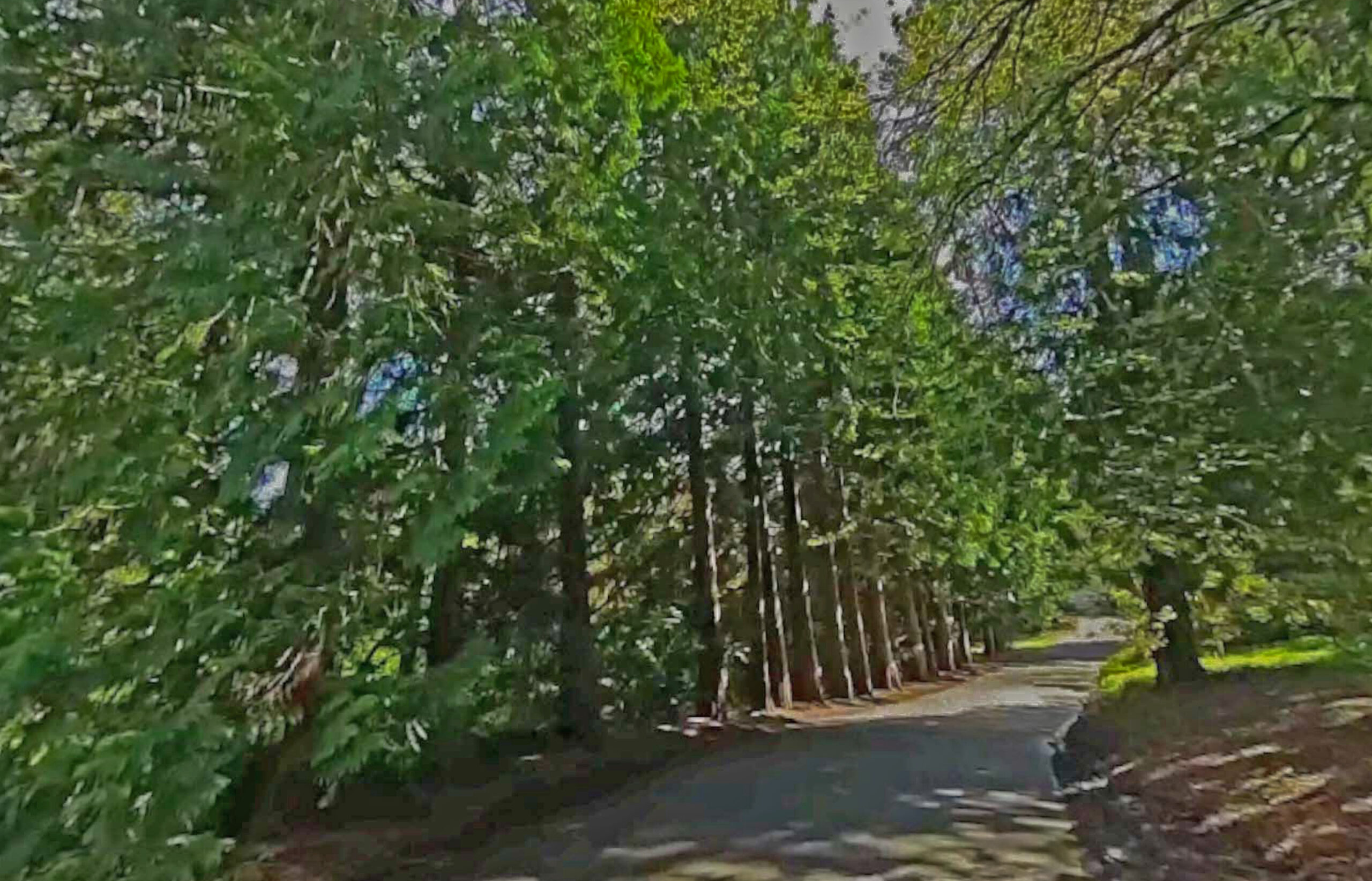
From Magnuson Park Beach, we head east to the Burke-Gilman, then south to UW and Montlake Bridge. At 7.4km, slow down for the narrow easy-to-miss turn off the Burke-Gilman up to Rainier Vista. At 7.9km, the Montlake Bridge has narrow clearances – slow down for oncoming pedestrians and cyclists. After winding over the new 520 pedestrian/bike overpass to Lake Washington Blvd, you take a nice jaunt through the Olmsted-designed Washington Park Arboretum along tree-lined Arboretum Drive East (closed to traffic) and the Arboretum Loop Trail.

Arboretum Drive

As you’re leaving Arboretum Trail, take care at km 11.3 rejoining Lake Washington Blvd. If the
intersection is busy, dismount and use the crosswalks, then head south on Lake Washington Boulevard.

(Did you know, from Olmsted Parks.Org: “The longest and most significant boulevard in Seattle’s Olmsted park system, Lake Washington Boulevard links nine of the Olmsted parks, extending six miles from Montlake Boulevard at the north end, through Washington Park Arboretum and along the lake to Seward Park at the south end…. first proposed in the Olmsted Brothers’ 1903 report, their recommendation included routing the boulevard beyond the city limits at that time so that it might extend all the way to Seward Park (then known as Bailey Peninsula)”. President Taft described the Lake Washington string of parks soon after completion in 1909 as follows: “One of the most magnificent combinations of modern city and medieval forest, of formal gardening and Nature’s handiwork with the most beautiful views of lake, sea and snow-capped mountain peak, that has ever delighted the eye of man in this or any other country.”)

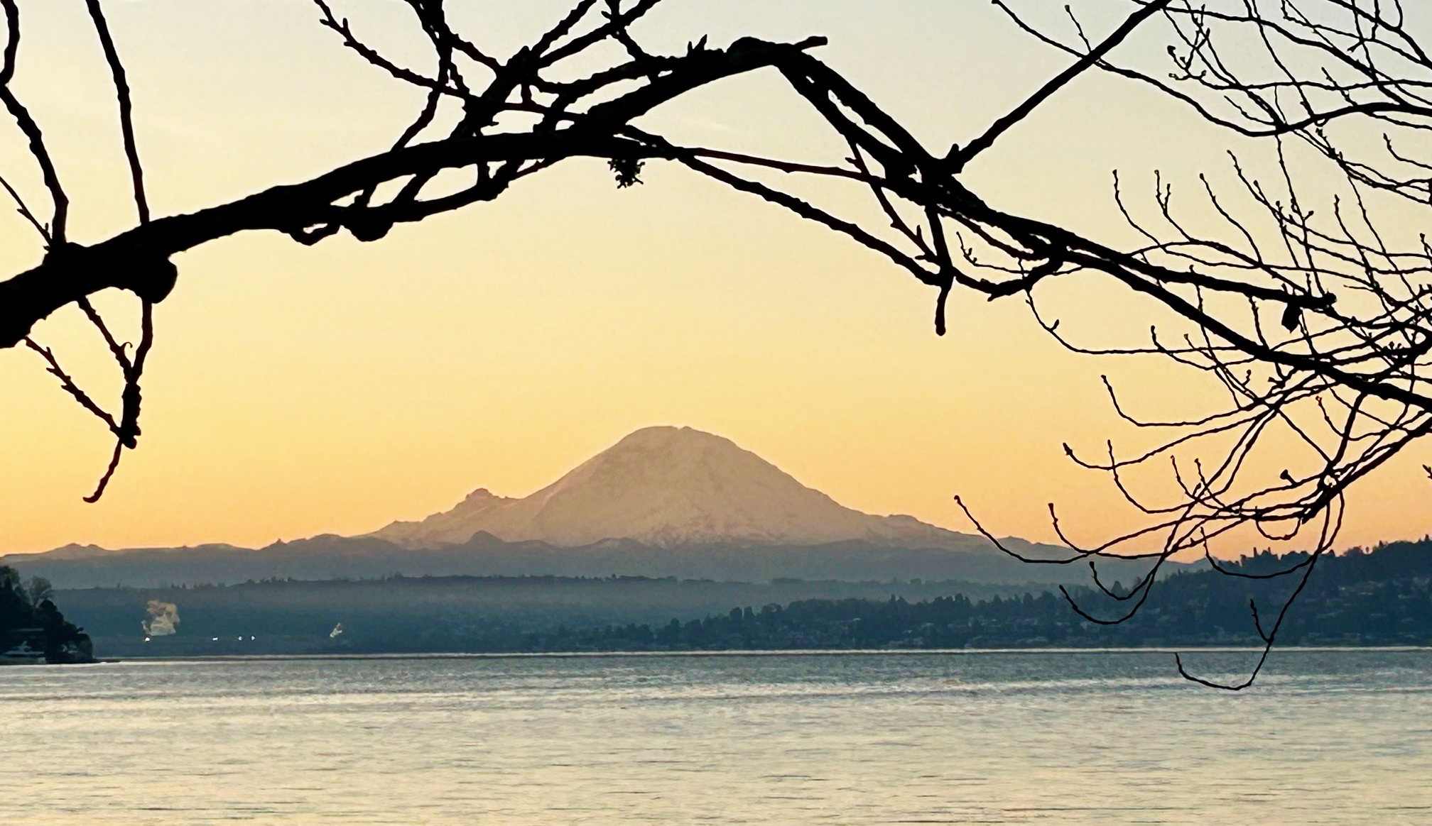
At km 21.8, we enter Seward Park and Shore Loop Road, closed to traffic – and one of the key stretches we need to ride slowly and give pedestrians and other cyclists ample room – take your time and enjoy the filtered views of Mt Baker (visible on a clear day from Control 2 at Seward Park North Beach km 23.5), and Mt Rainier from Seward Park’s south beach.

Mt Rainier from Seward Park

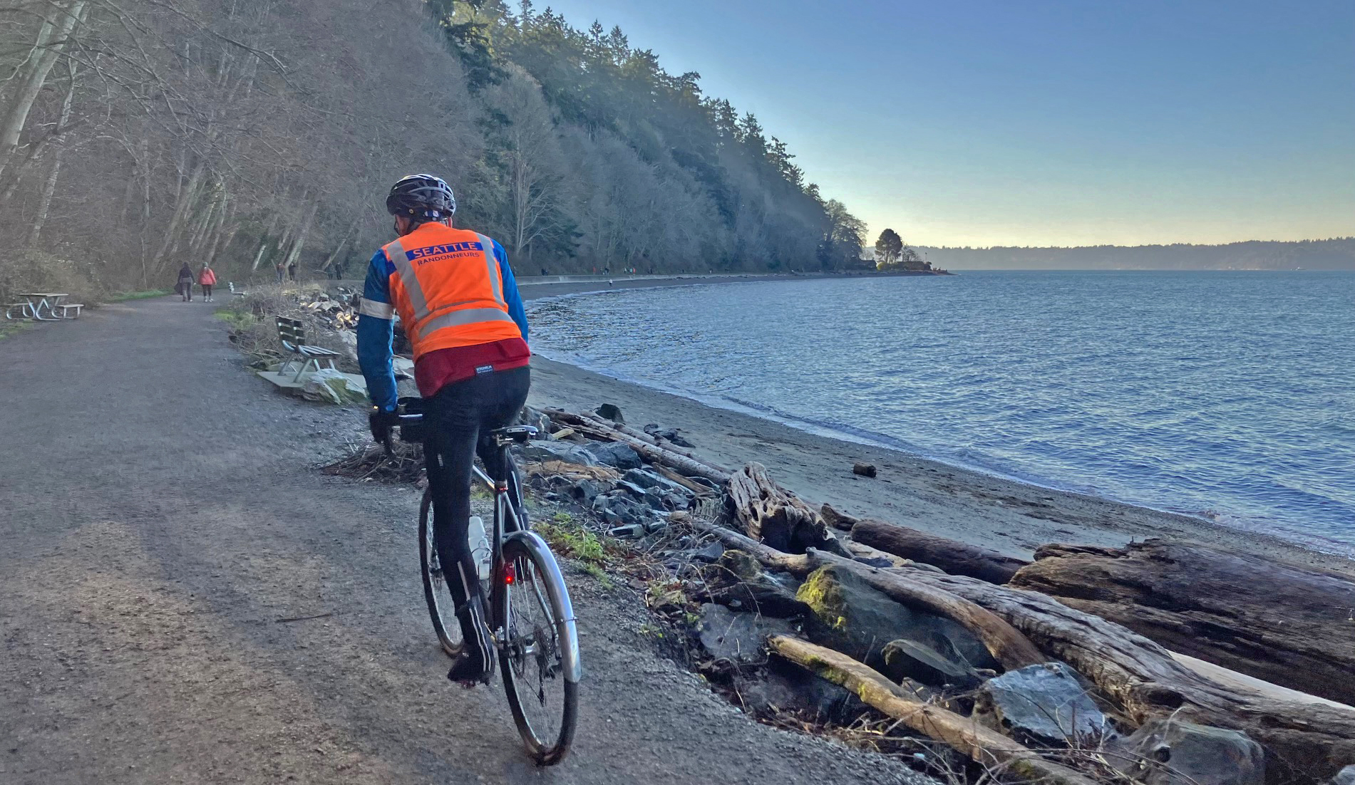
Leaving Seward Park, we climb Seward Park Ave and head west through Othello, then navigate the north end of Boeing Field and South Park. At km 31.4, coming down South Albro Place, take care shifting to the left lane to move over to the new bike lane after Ruby Chow Park. This newly completed bike lane from km 31.9 to 33.5 along the south side of Albro Place and east side of East Marginal Way is a great recent addition to our bike infrastructure, avoiding the need to ride along thse busy roads. At km 33.5, use the crosswalk to cross East Marginal to the 16 th Ave S Bridge over the Duwamish, then weave your way through South Park’s quiet back streets to the Duwamish Trail, passing Control 3 Gears at km 35.4. At km 39.2, you’ll ride through a nice grove of madrones with filtered views of Harbor Island and downtown Seattle. At km 41.0, take care crossing West Marginal Way to a recently finished bike path which avoids the climb up and under the W Seattle Bridge. If traffic is busy here, use the pedestrian button at the crosswalk to stop traffic. The curb cut to the bike path is narrow so take it easy here. At km 42.3, we turn north to continue on the Alki Trail, then shifting to Harbor Avenue SW. There are plenty of public restrooms and eateries along Alki Beach, but don’t linger as there are plenty more distractions and climbs ahead! After Alki Point Lighthouse, Control 4 at 48.6, continue south to Lincoln Park. At km 53.7, you enter a relatively narrow gravel path along the beach which can sometimes be crowded with pedestrians and kids riding bikes: another key stretch to be ridden very slowly when passing pedestrians. Take time to compliment that cute dog or little kid riding her bike.

Lincoln Park Beach Path looking South
Bruun Idun – The Way of the Bird King

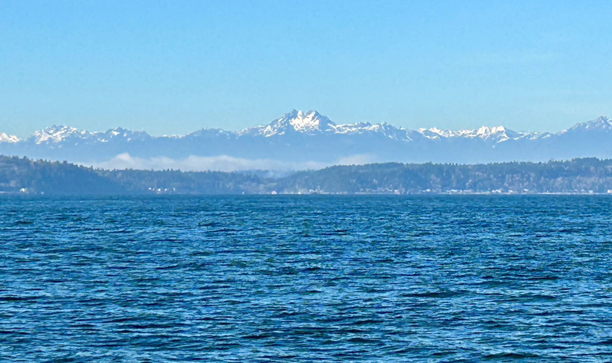
After a visit with Bruun Idun – the Way of the Bird King, we return north, enjoying views west to the Olympics.

View from Lincoln Park Beach

Leaving Lincoln Park, you climb up via Erskine Avenue to downtown West Seattle, passing Bakery Nouveau on California Ave at km 58, then continuing east and north along SW Alaska St and SW Avalon Way. Take care along SW Avalon Way’s protected bike lane which is relatively narrow. At km 60.3, be cautious crossing SW Spokane St to rejoin the Alki Trail, and continue around Harbor Island and north to Seattle on the newly completed Portside Trail to downtown. At km 66.1, shift to the Waterfront Bike Trail through the downtown waterfront: take your time and obey the stop signals at the many pedestrian crossings.

A short climb around the new Aquarium takes you to the finally complete Alaskan Way Cycletrack leading to the Olympic Sculpture Park. Be careful entering the park at km 86.6, passing the Bourgeois Fountain to Elliott Bay Trail. In Myrtle Edwards Park, at km 70.2, a portion of the separated pedestrian path is closed, so we again share the road with walkers. Continuing north along the railyards, you then turn south for a gentle climb up Thorndyke Avenue and Magnolia Boulevard West, past Magnolia Viewpoint, with views to downtown and Mt Rainier.

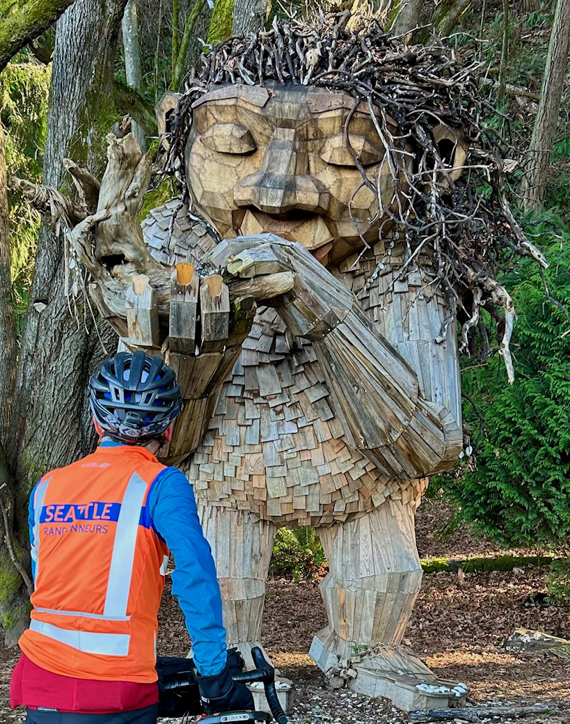
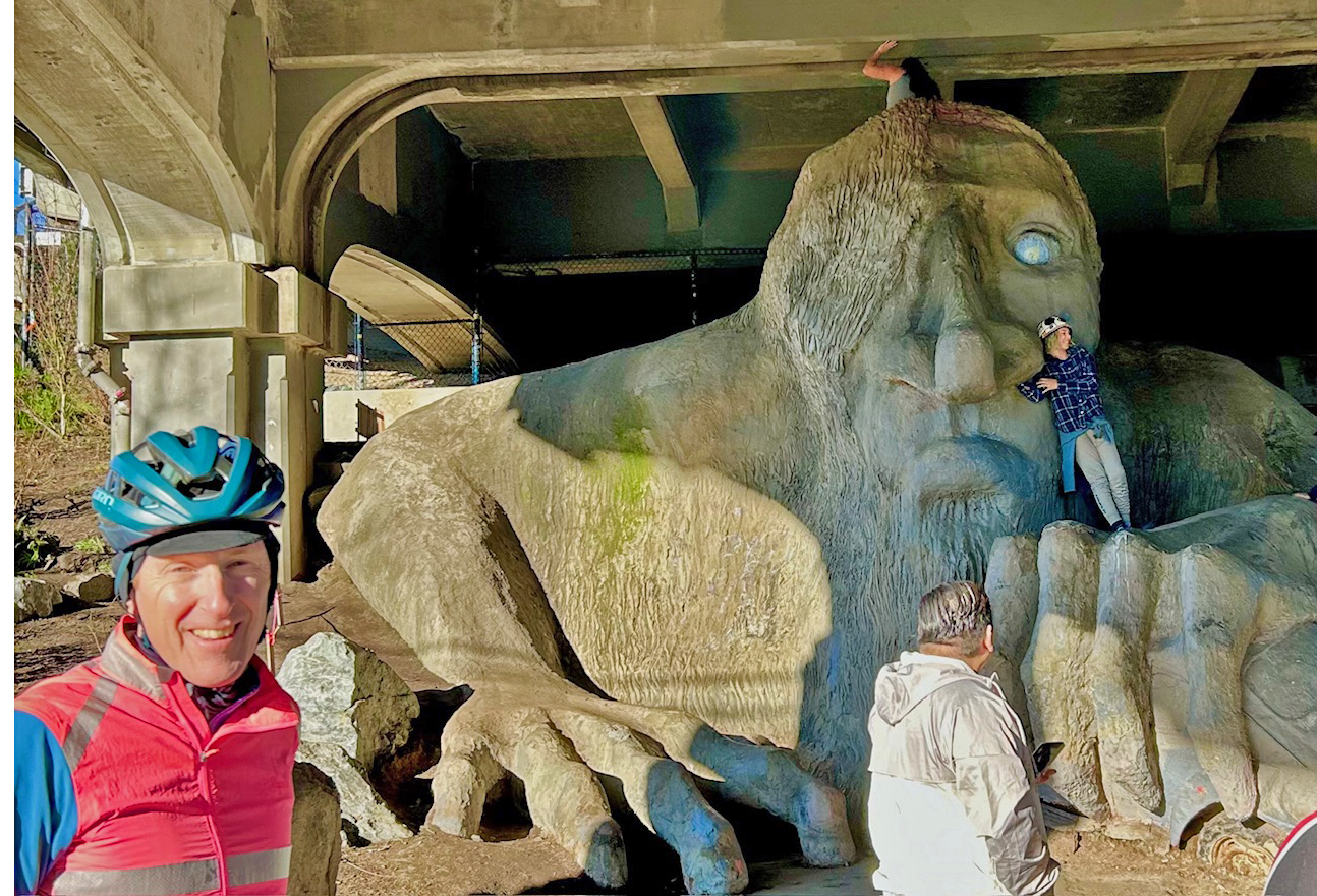
At km 78.6, you enter Discovery Park (formerly Fort Lawton Army Base), crossing open fields, with views to the Olympics to your left and officer quarters / FAA Radar Site to your fight. You then head east for a nice downhill forested stretch on Discovery Park Boulevard to Gilman Avenue West: at km 81.4, slow down to shift over to the Cycletrack at 29 th Ave West. At the traffic light – km 82.3, be careful at the turning left onto the West Emerson Place Cycletrack. After a brief downhill, akm 82.5, slow down to shift over via a tight curbcut onto the ‘Ship Canal Trail’: the next stretch of sidewalk has some root heave issues, and there are some tight turns at km 83.2. After passing under the bridge at km 85.6, miss the immediate turn slight right up the trail to the path adjoining Westlake Ave, then turn north over Freemont Bridge and up another short climb to visit the Freemont Troll (synopsis from Wikipedia: “built in 1990 by artist/architect Steve Badanes, inspired by Norwegian folklore, the 18 feet tall Troll constructed with 13,000 lbs of concrete, is clutching an actual Volkswagen Beetle, as if it had just swiped it from the Aurora Bridge above. Originally, the car held a time capsule, including a plaster bust of Elvis Presley, which was stolen when the sculpture was vandalized.”)

Freemont Troll

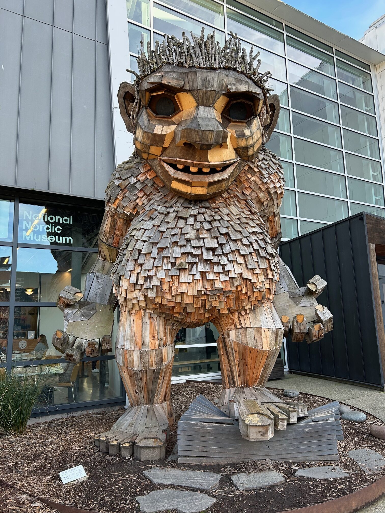
A short steep few blocks down Troll Avenue takes you to the Burke Gilman Trail, where you head west to Ballard. At km 91.0, take care navigating the intersection at 24 th Ave NW and Market Street: the intersection is likely to be crowded. Dismount and cross the crosswalk at the light to the bike path. Two blocks west of here, you pass the National Nordic Museum and a visit with Frankie Feetsplinter

Frankie Feetsplinter @ Nordic Heritage Museum

Proceeding north on the last stretch of the Burke Gilman, be careful navigating the end of the trail and entry to Golden Gardens at km 94.6 – lots of cars and pedestrians headed to the beach. The Golden Gardens Bathhouse and Kite Café at km 95.1 offers a good spot to catch your breath and gear up for the big climb of the ride.

Returning south briefly to the park entry gate, you turn left for a winding climb up Seaview Place Northwest – be careful as there is very little shoulder and a fair bit of traffic, but drivers are typically respectful. Moving east and north through relatively quiet residential streets, you arrive at the Interurban Trail at km 103.4, then north to Echo Lake, and east to Perkins Lane at km 112.9. After a brief climb to the crest, you’re on a delightful winding descent through the woods to Lake Forest Park. After crossing Lake City Way to the Burke Gilman, you head south – keep an eye out for the turn left at km 124.1 to Inverness Drive NE, then be careful on the short run on Sand Point Way with no shoulders. At km 124.8, you turn left for an easy-to-miss turn off Sand Point Way over gravel to a break in the hedge: watch out for the quick left on the gravel path, and take it slow as the path twists down to Magnuson Café and Brewery, where much deserved refreshments await.

Comments Off on 2026 Winter Rouleur 125K-149K Pre-Ride Report

Filed under Pre Rides, Rouleur Rides, SIR Rides