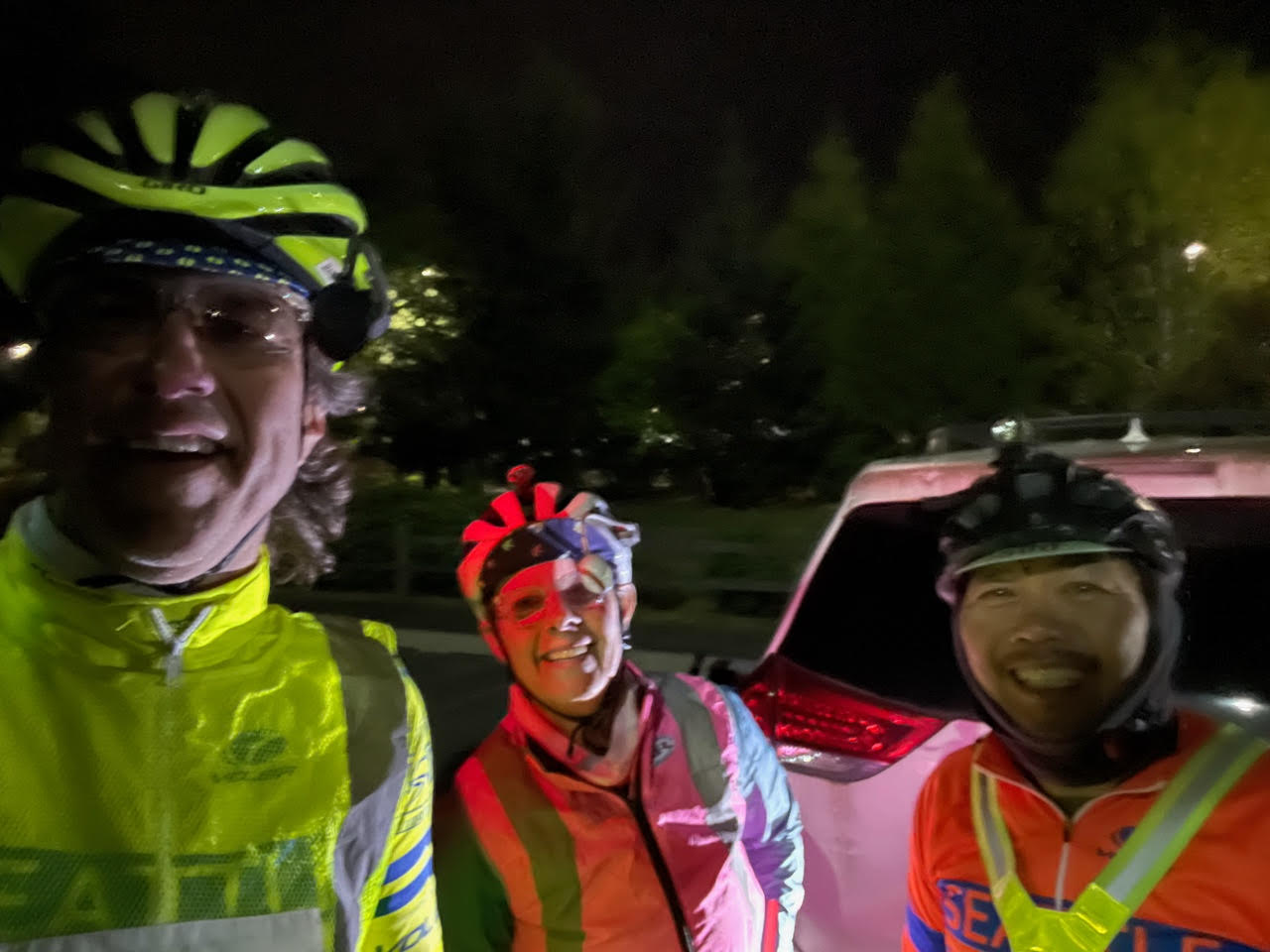
by John Pearch
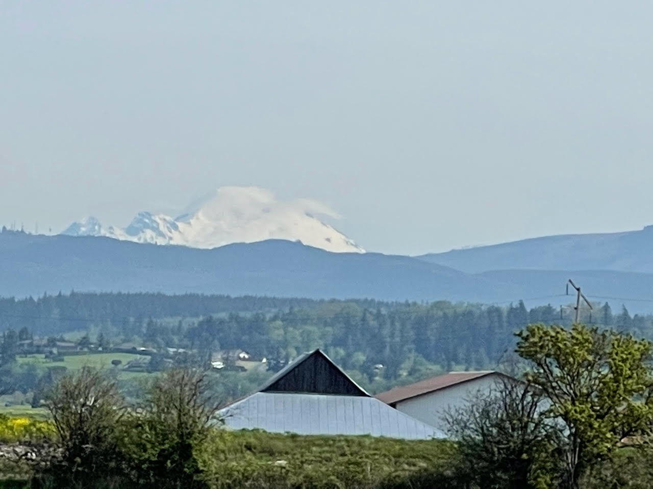
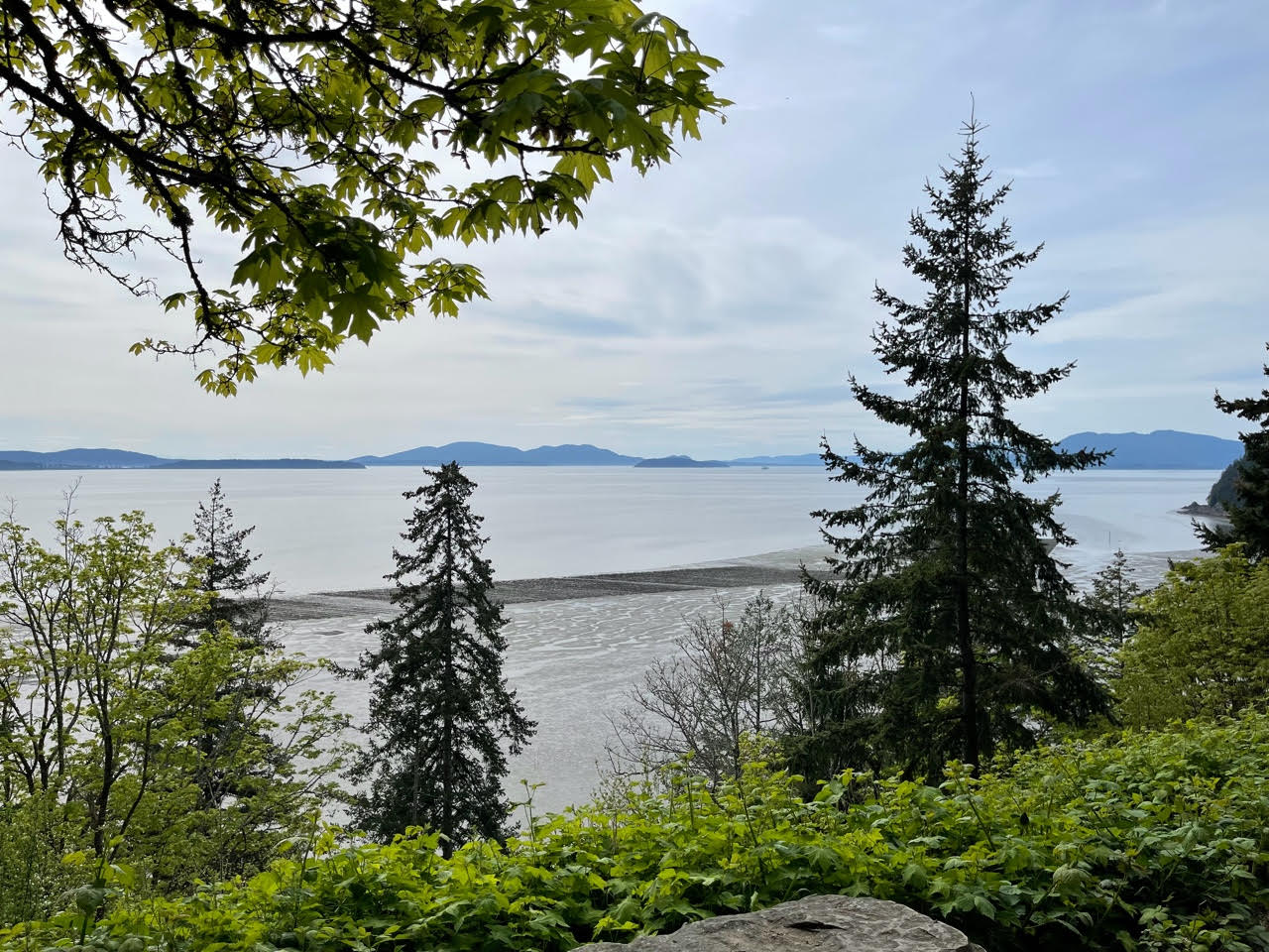
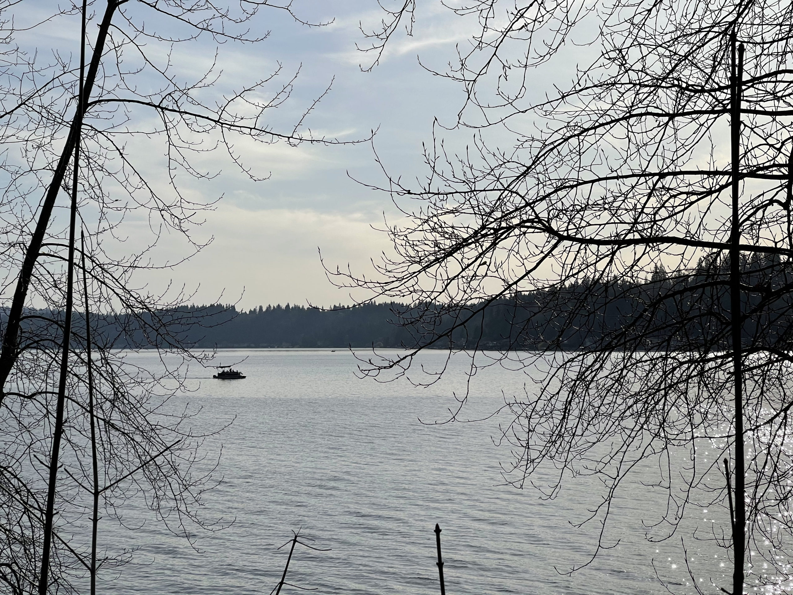
The Brevet Week 600k follows almost the same route as the 400k with the exception that the 600k goes to Lake Samish, where the 400k goes to Lake Whatcom. See Mark Thomas 400k preride report with additional details. One additional small difference is that the 600k takes the Redmond Central Connector trail into Redmond, which goes by the McDonalds and Chevron. Most restaurants close at midnight (as of May 1st), but you need to check on this as closing hours have varied a lot lately. Redmond Inn is not serving breakfast, and only has coffee in the lobby. When in doubt have some food either in your car or in your hotel room at the Redmond Inn if you are staying there as the overnight.
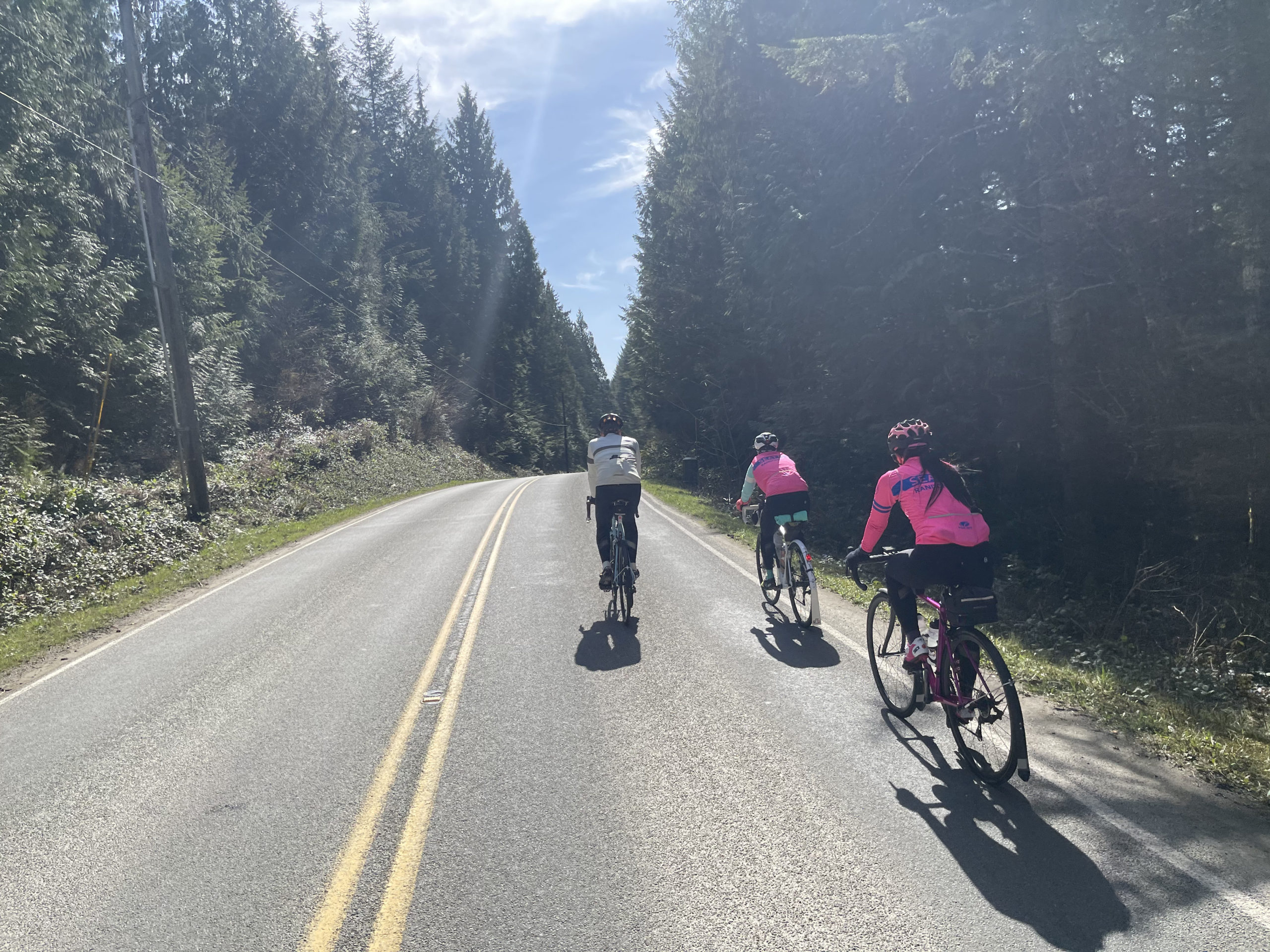
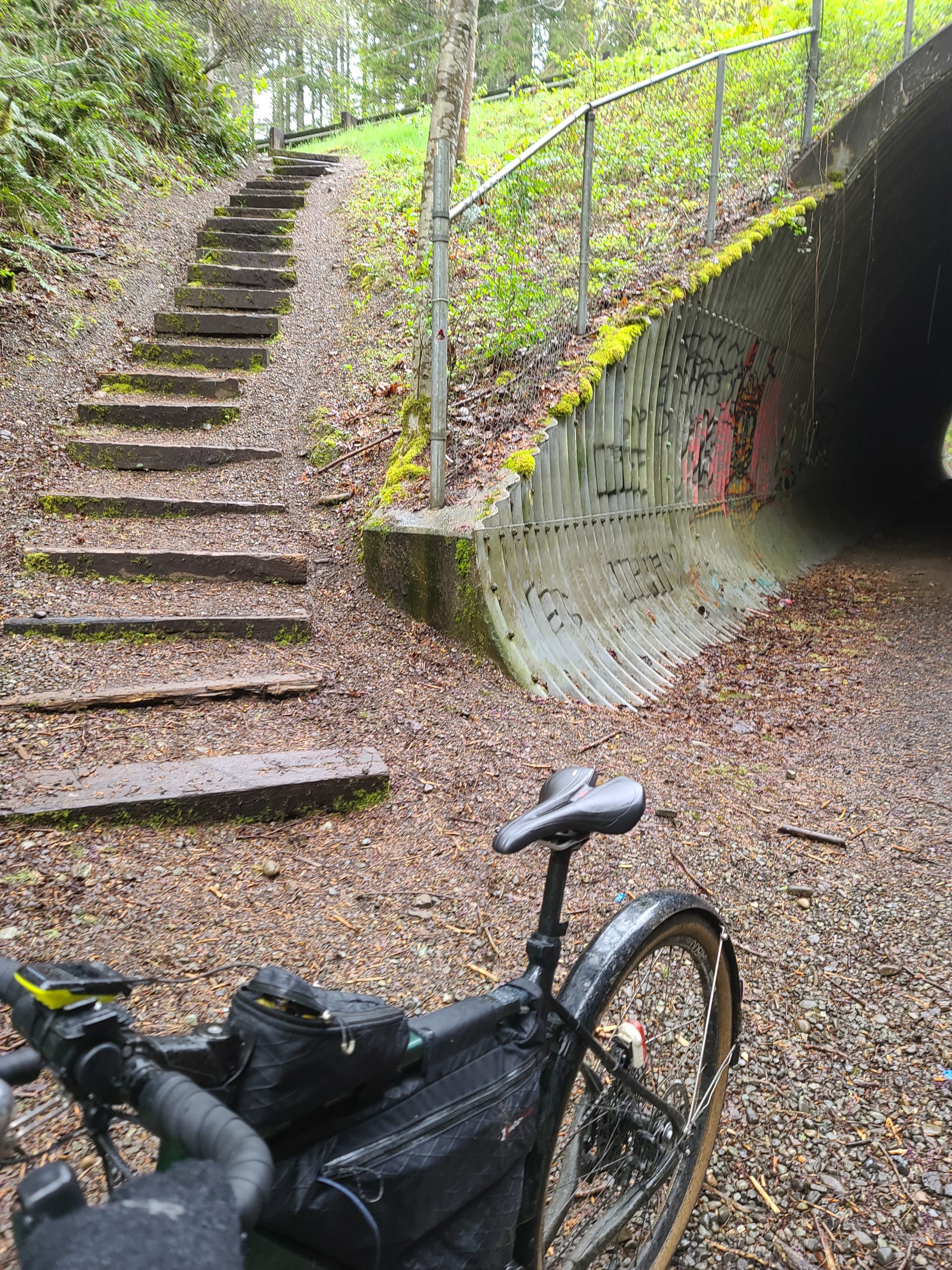
I prerode the last 215k of this route (after Redmond overnight) on April 24th, on a long rainy day (without credit). 😆 Keep in mind that the last 215k is quite hilly, about 6,000 accumulated feet of climbing. After the overnight you will climb up Union Hill up and over to Carnation, where you can get some awesome coffee at Sandies. From there you will have a steady climb up the Snoqualmie gravel trail, to the tunnel.
The route directs you through the tunnel then takes the stairs up (best option), then left on Tokul Rd.
The route goes through Snoqualmie then North Bend, so stock up where necessary as there are no services for 30 miles after North Bend. Just after North Bend there is construction on North Bend Way where the shoulder is closed. If you are from the area and know what you are doing, the alternative route is to take the Snoqualmie Trail by taking a left on Thrasher at the Forest Service office and then a right onto the Snoqualmie Trail (gravel), then a left back on North Bend Way.
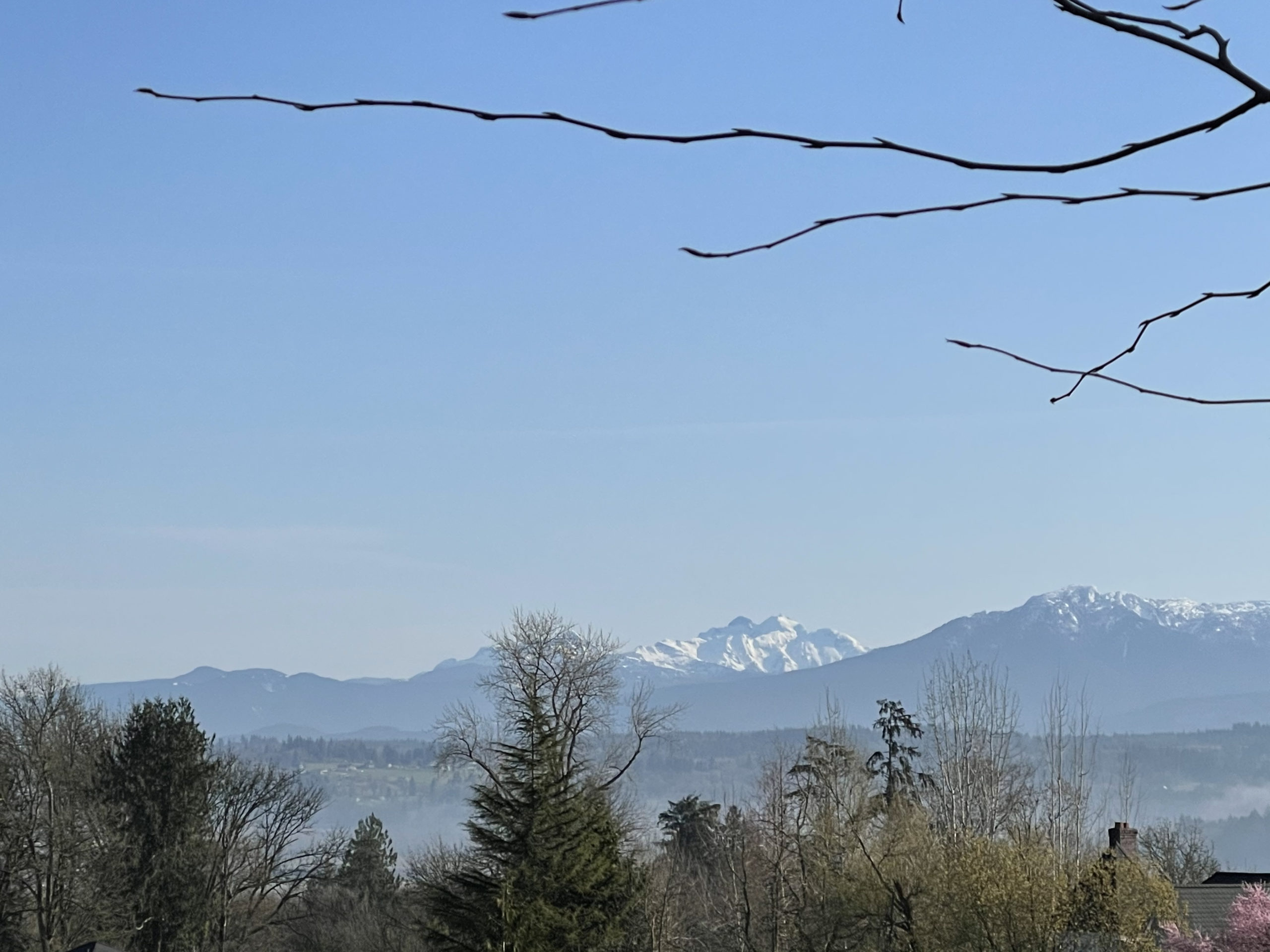
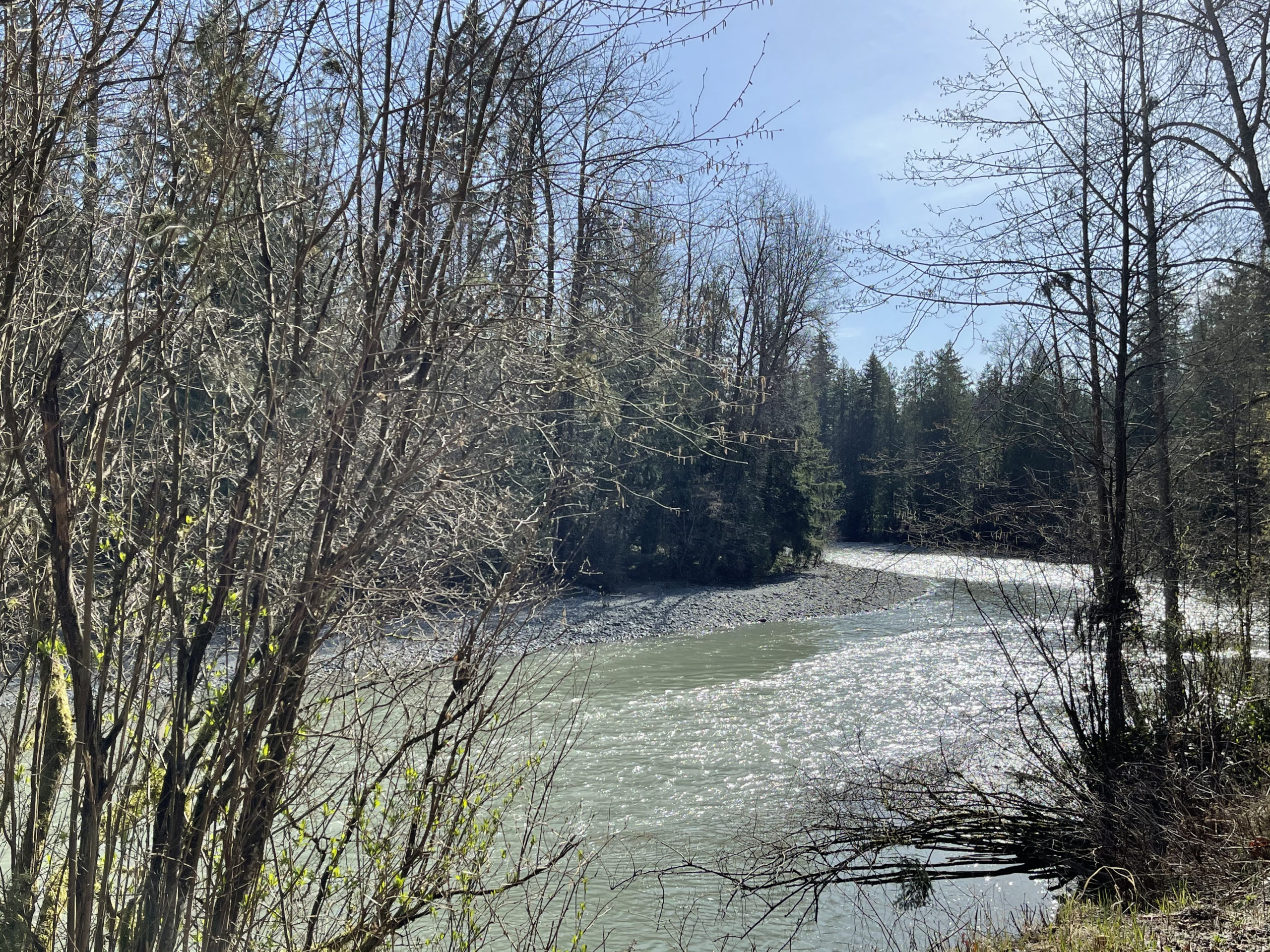
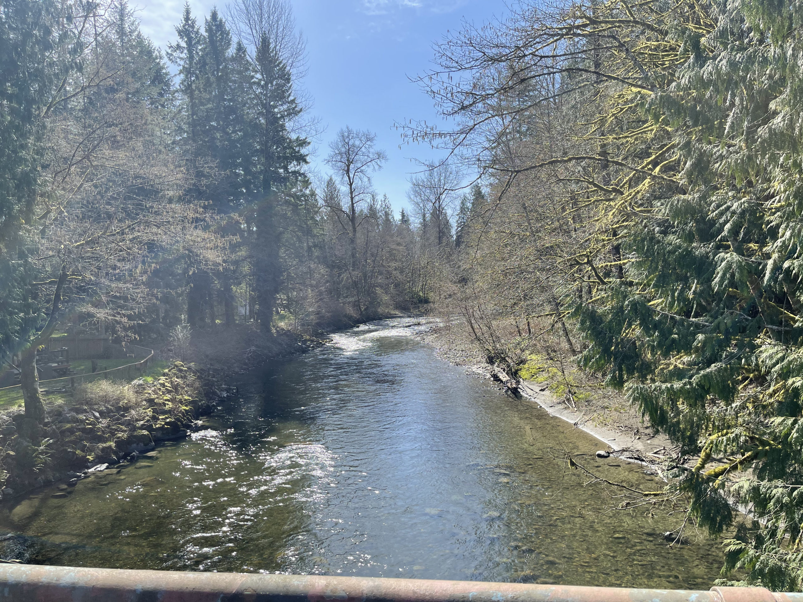
The climb up to Middle Fork is spectacular. Hopefully the sun comes out for you all on this stretch as this has some of the best views on the entire route! Take caution as there are a couple steel grates about 4 km before the turnaround and also on the return. The info is at the Garfield Ledges trailhead, just past the bridge over the Middle Fork Snoqualmie River.

When returning to North Bend, you could take the Snoqualmie Valley Trail back into North Bend. The bakery in North Bend is the best bakery around!!
When you leave North Bend, the route goes on the Snoqualmie Valley Trail until the golf course and comes into the town of the Snoqualmie the back way. After Snoqualmie, you will climb up Snoqualmie Ridge (along the Snoqualmie Ridge trail-parallels Snoqualmie Ridge Parkway). The info at the Chevron is where all the Alps permanents climb up Lake Alice Rd, where on this 600, you will get to descend down this…but not all the way down!! You will need to take a sharp left turn onto the Preston-Snoqualmie Trail.
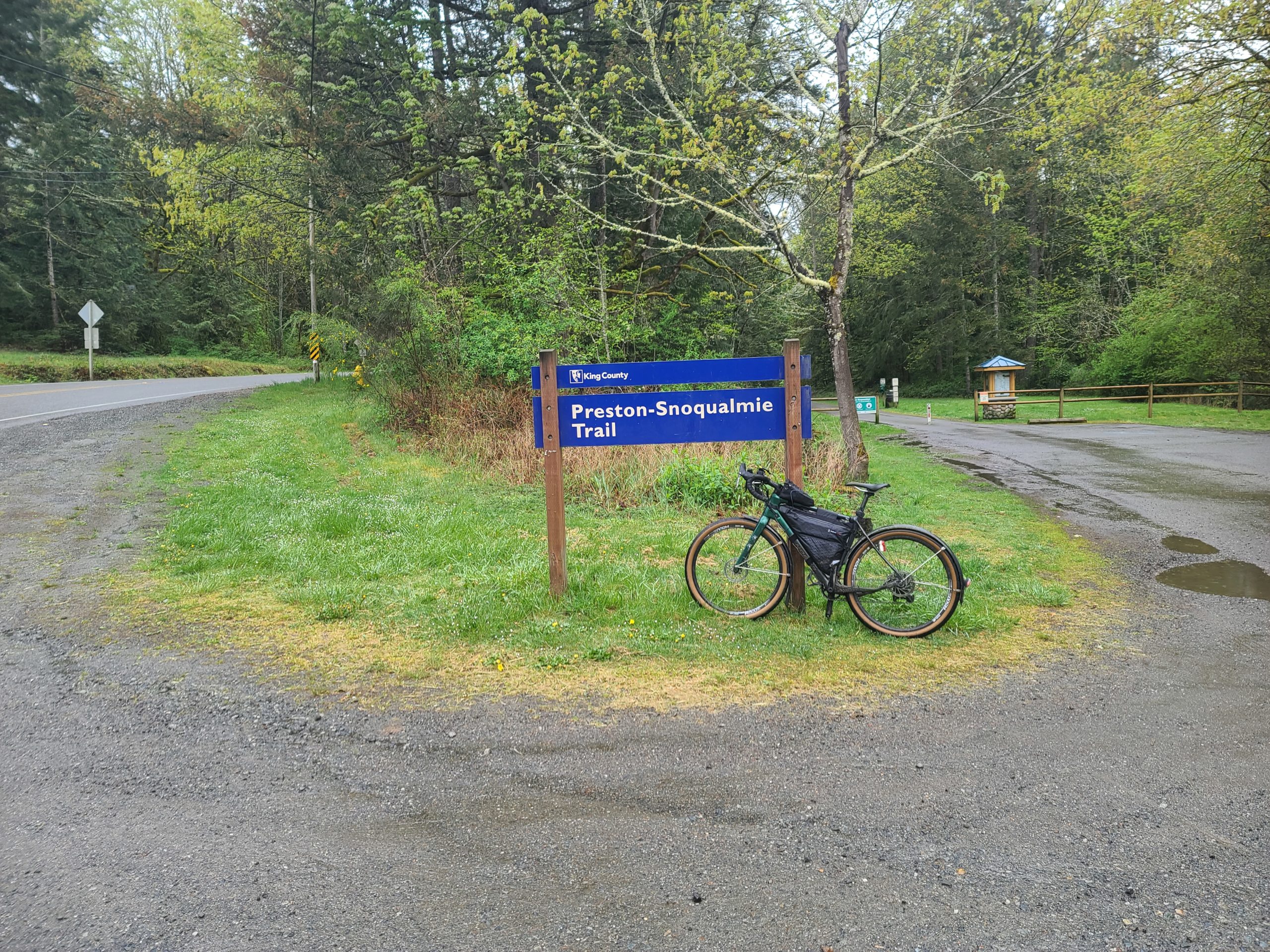
The Preston-Snoqualmie trail has some steep gravel switchbacks that is highly recommended to walk your bike down…at least I didJ

Take special caution crossing Preston-Falls City Road at the crosswalk, a very busy road! If you need services, you might want to stop in Preston, as the route avoids all services in Issaquah. After Preston you will follow the Preston-Issaquah Trail, paralleling I-90 then descend into Issaquah.
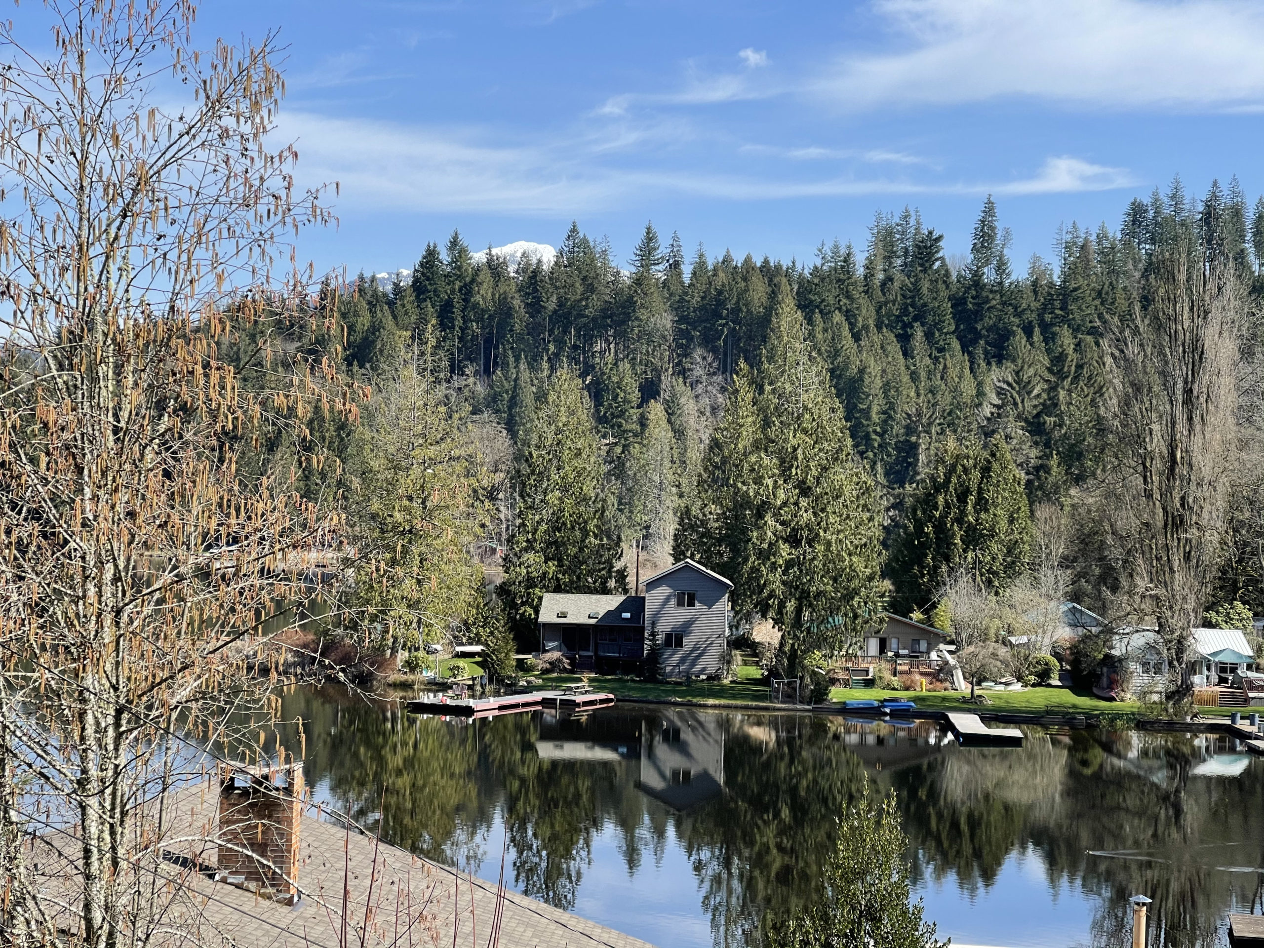
Issaquah-Hobart Rd becomes other road names south to Ravensdale and to Black Diamond. About 4k after the Black Diamond control, you will take the Green to Cedar (gravel) trail all the way down to the Cedar River Trail, which will take you all the way into Renton. We took the most direct route through Renton then will be on the East Rail Trail for about 2k, but once you get to the Seahawks training building, the East Rail Trail is still under construction and the route goes on Lake Washington Blvd and trail. You will then take the I-90 trail that will go over the brand new Factoria bike bridge.
After the bridge, you will go down underneath this same bike bridge and also I-90 to go through Bellevue and avoids the 36th. This is the final climb up and over into Redmond.
Please text me when you depart the 2nd day and also when you arrive in Black Diamond so I know approximately when you will be finishing. For those that finish in the normal hours, PostDoc Brewery is right nearby Redmond Inn that has food truck until about 7pm and still serves beer until 10pm. When Vinny and I prerode the 300k (on May 1st), everything was closed after midnight in Redmond, but found the IHOP in Bellevue open 24 hours. But keep an eye on the services hours as closing hours may change.
Note: All controls are info controls!
These are the changes we made from the 2019 Chuckacamano Middle Fork version:
· Starts up Paradise Lake Rd
· Deleted Chuckanut trail option,
· Goes to Lake Samish and not to Lake Whatcom where the 400k goes,
· Turns off SR9 onto N Fruitdale into Sedro Woolley and goes through less busy roads in Burlington and Mount Vernon instead of staying on SR9,
· Returns down into Woodinville and takes the Sammamish River trail into Redmond for the overnight
· Rerouted the more direct way through Renton
· Rerouted onto Lake Washington Trail since the East Rail Trail since it is under construction (north of the Seahawks training building)
· Takes the new bike bridge over Factoria and also goes under I-90 to avoid 36th