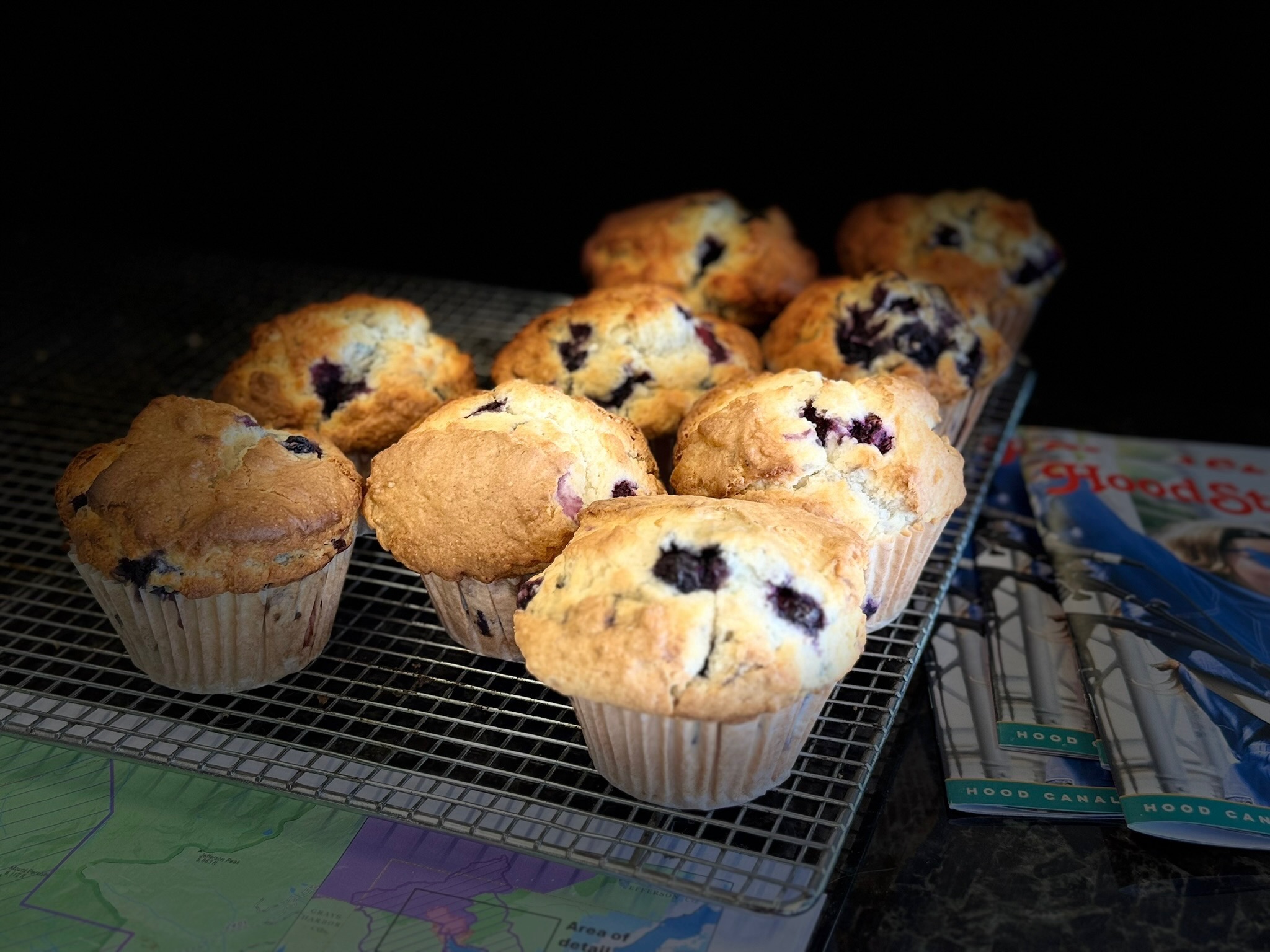
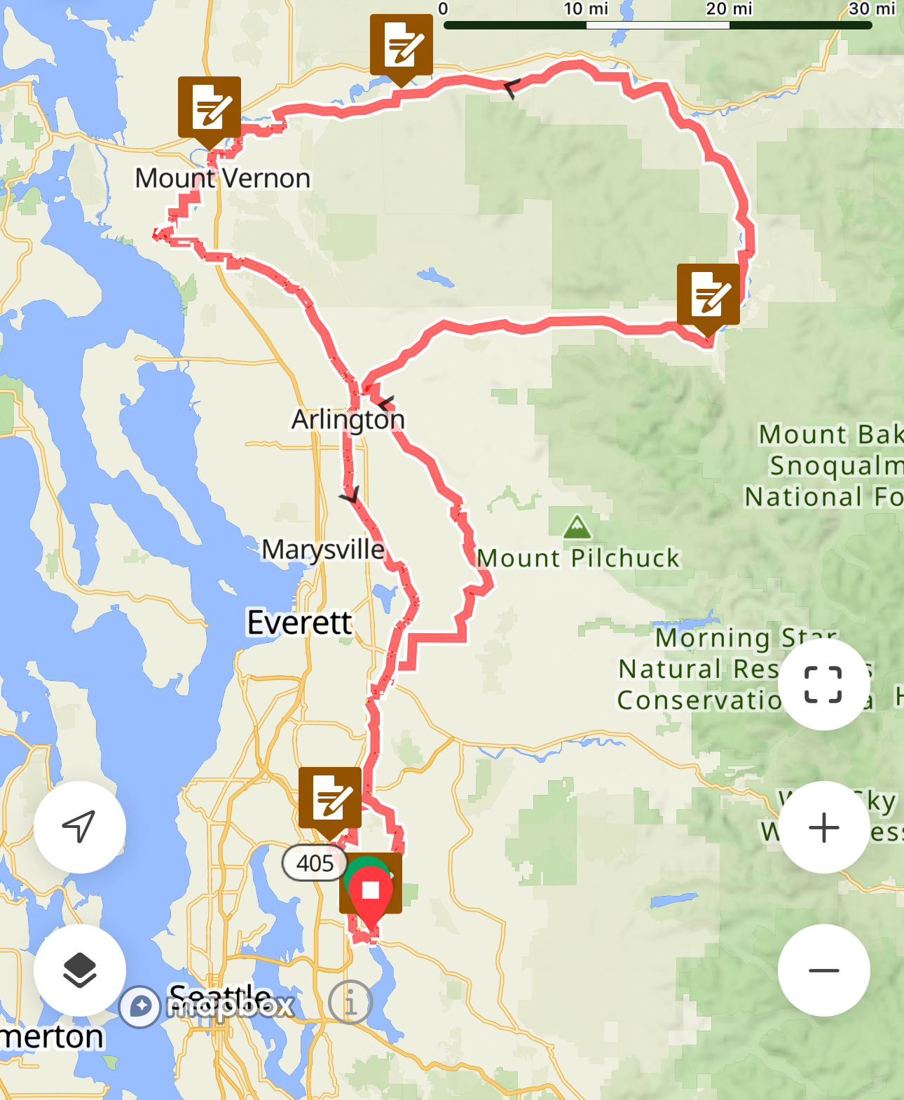
Text and photos by Owen Richards
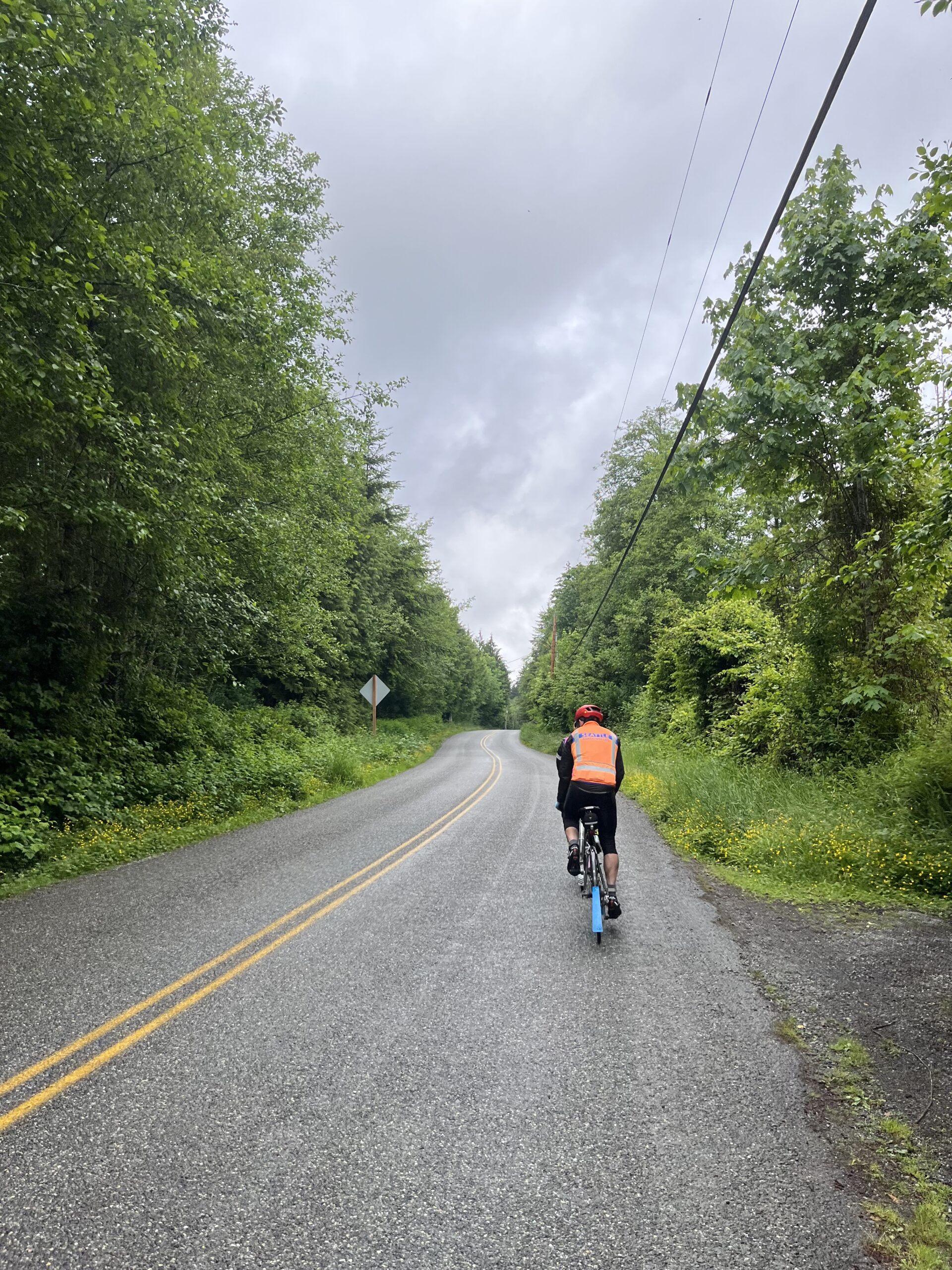
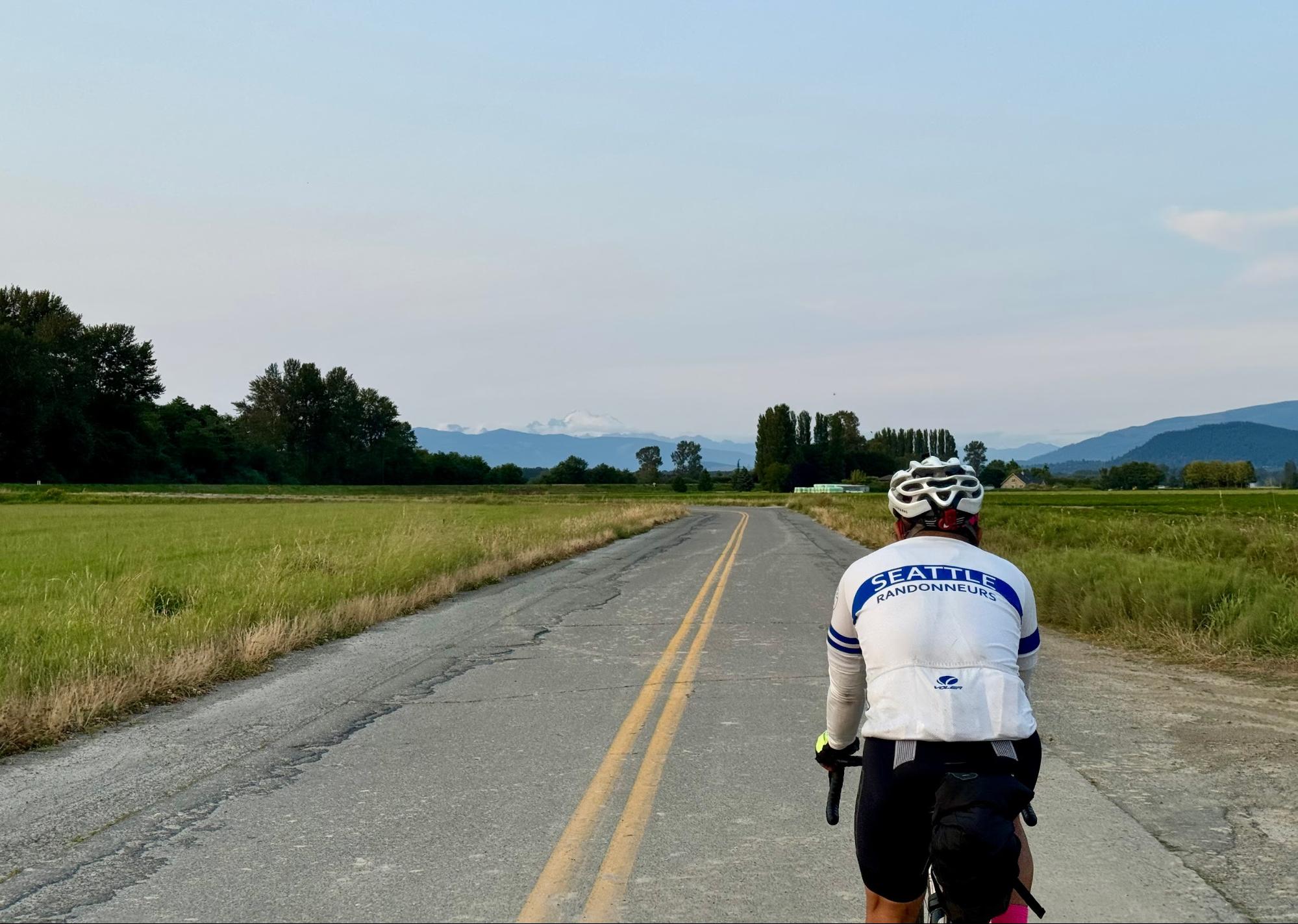
This ride celebrates Seattle’s extraordinary natural setting and urban culture, so there are plenty of
distractions and urban trails combined with a fair bit of climbing: no time for much dawdling, but please don’t rush either; enjoy our amazing city, and be especially careful on the pathways we’re sharing with pedestrians.
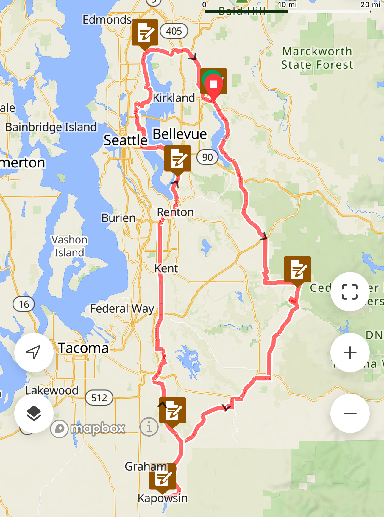
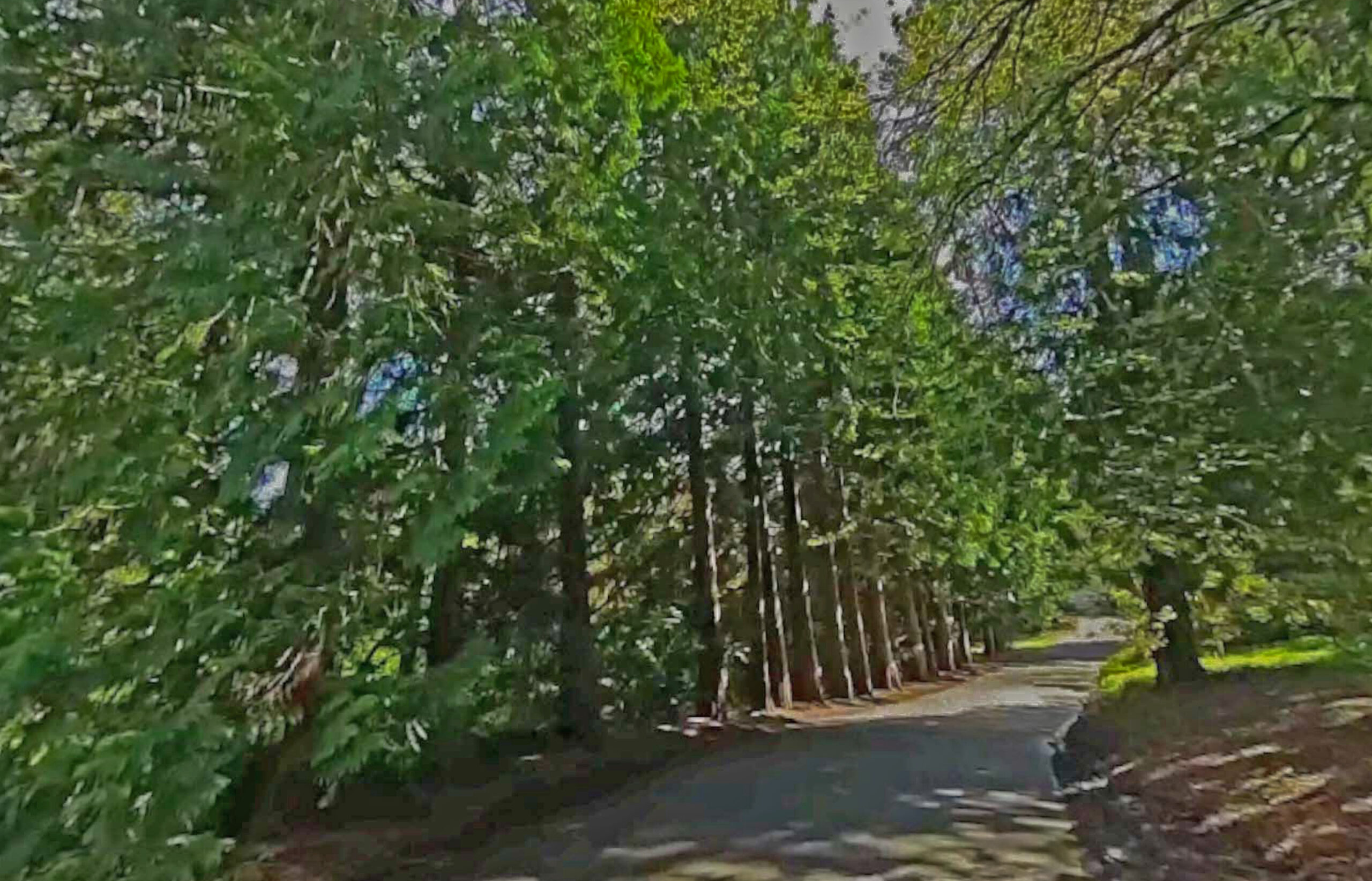
From Magnuson Park Beach, we head east to the Burke-Gilman, then south to UW and Montlake Bridge. At 7.4km, slow down for the narrow easy-to-miss turn off the Burke-Gilman up to Rainier Vista. At 7.9km, the Montlake Bridge has narrow clearances – slow down for oncoming pedestrians and cyclists. After winding over the new 520 pedestrian/bike overpass to Lake Washington Blvd, you take a nice jaunt through the Olmsted-designed Washington Park Arboretum along tree-lined Arboretum Drive East (closed to traffic) and the Arboretum Loop Trail.
As you’re leaving Arboretum Trail, take care at km 11.3 rejoining Lake Washington Blvd. If the
intersection is busy, dismount and use the crosswalks, then head south on Lake Washington Boulevard.
(Did you know, from Olmsted Parks.Org: “The longest and most significant boulevard in Seattle’s Olmsted park system, Lake Washington Boulevard links nine of the Olmsted parks, extending six miles from Montlake Boulevard at the north end, through Washington Park Arboretum and along the lake to Seward Park at the south end…. first proposed in the Olmsted Brothers’ 1903 report, their recommendation included routing the boulevard beyond the city limits at that time so that it might extend all the way to Seward Park (then known as Bailey Peninsula)”. President Taft described the Lake Washington string of parks soon after completion in 1909 as follows: “One of the most magnificent combinations of modern city and medieval forest, of formal gardening and Nature’s handiwork with the most beautiful views of lake, sea and snow-capped mountain peak, that has ever delighted the eye of man in this or any other country.”)
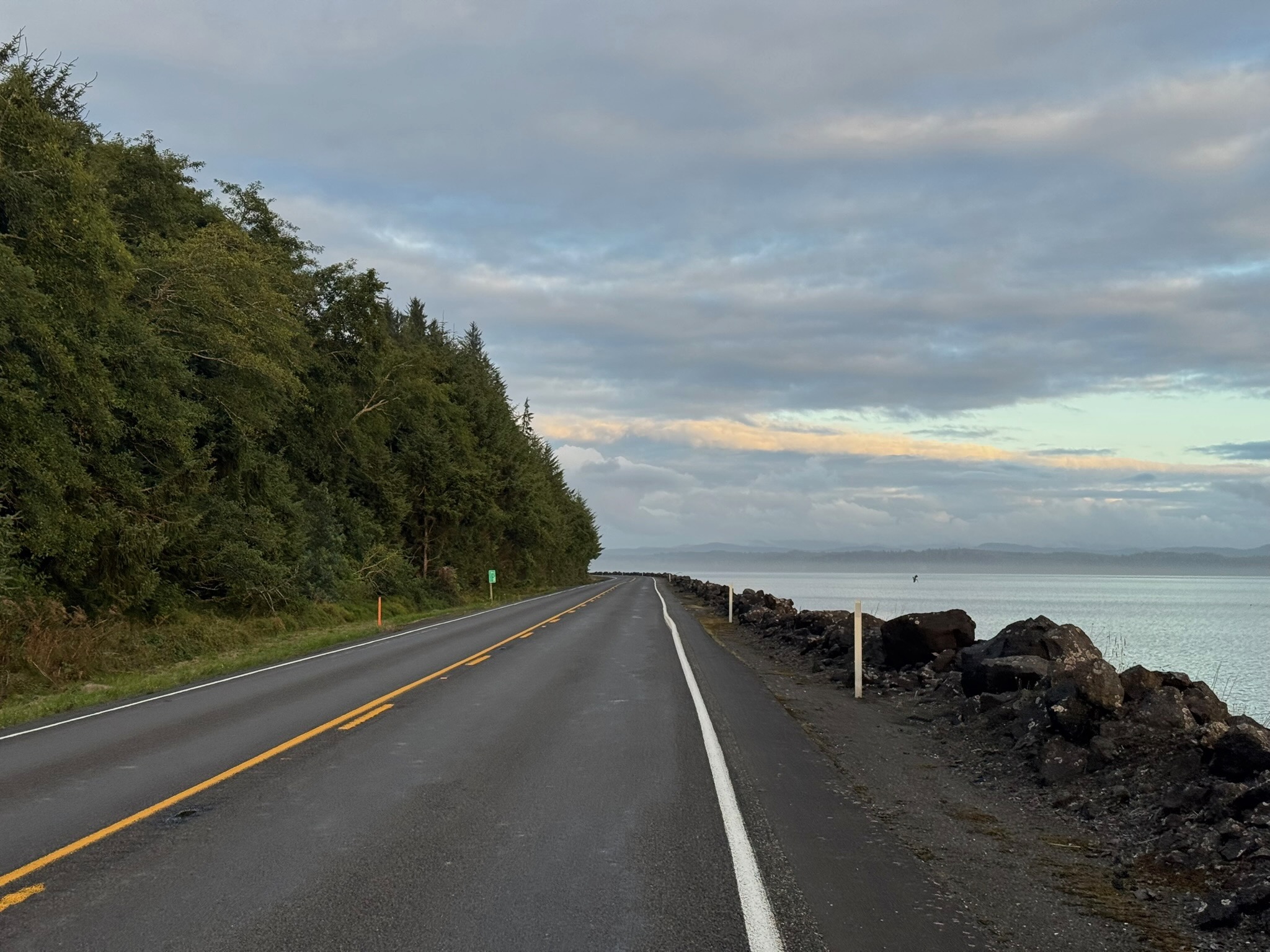
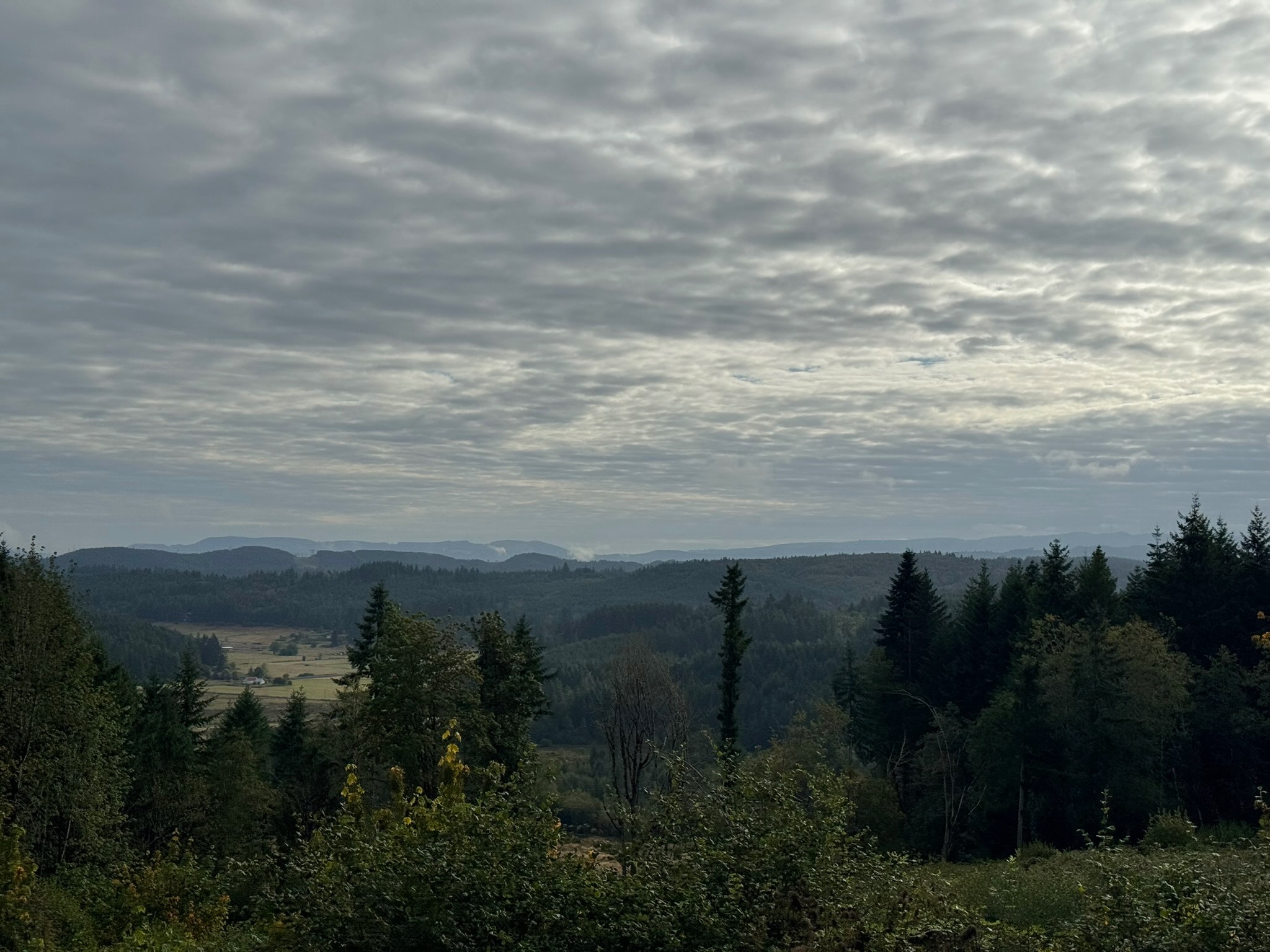
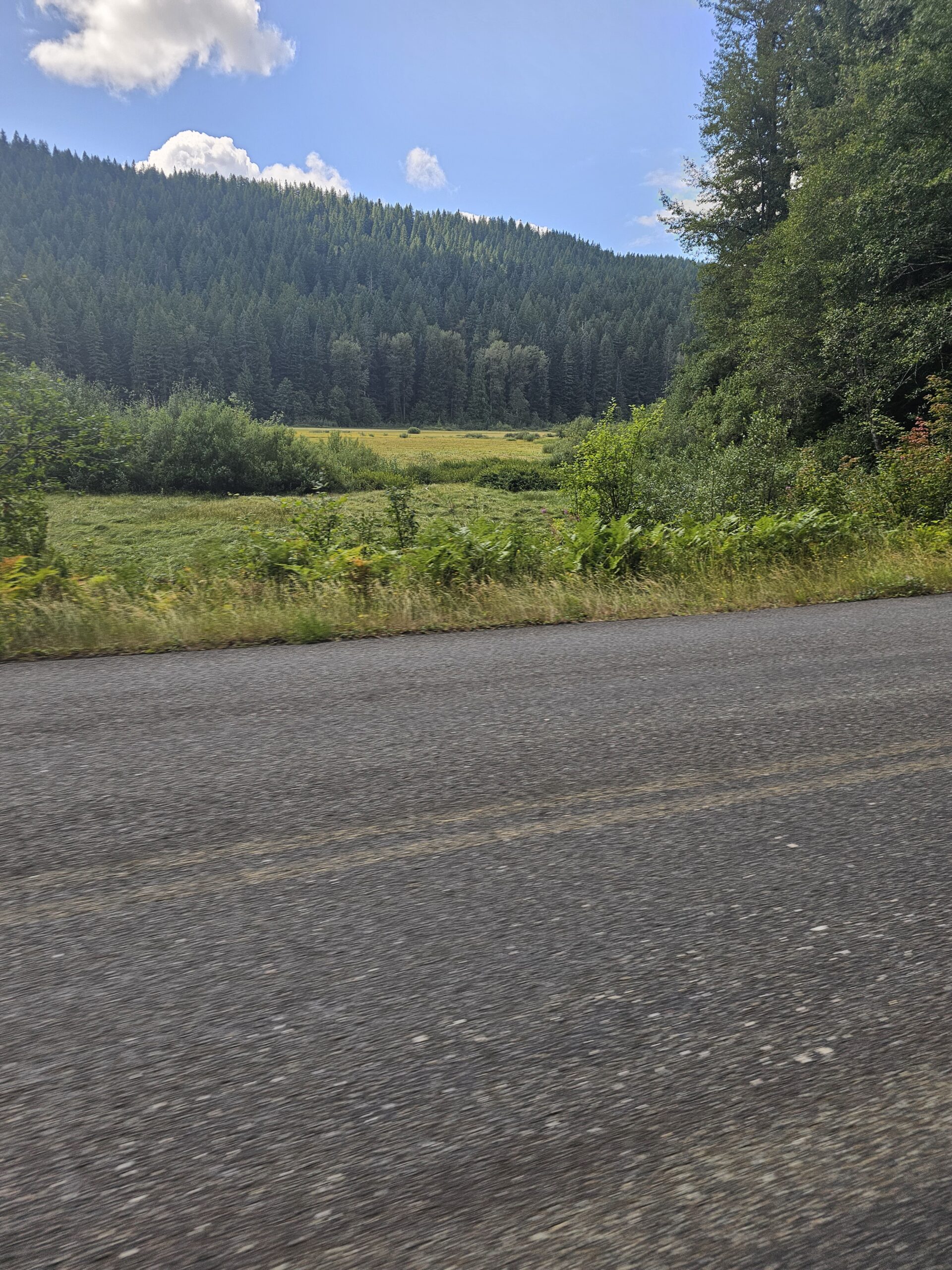
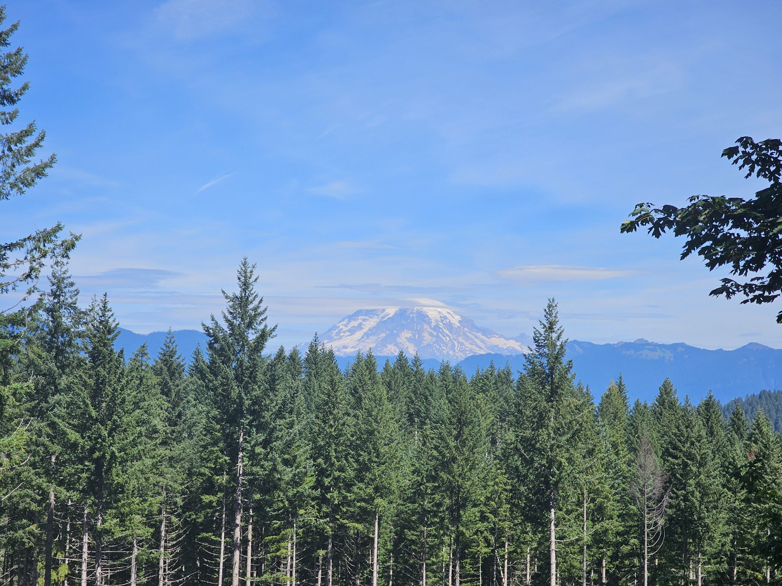
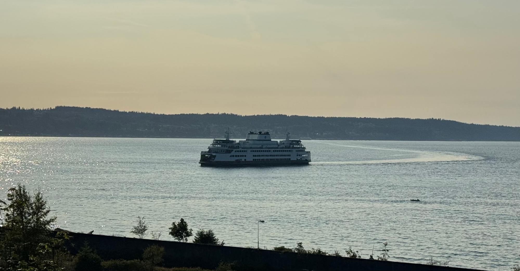
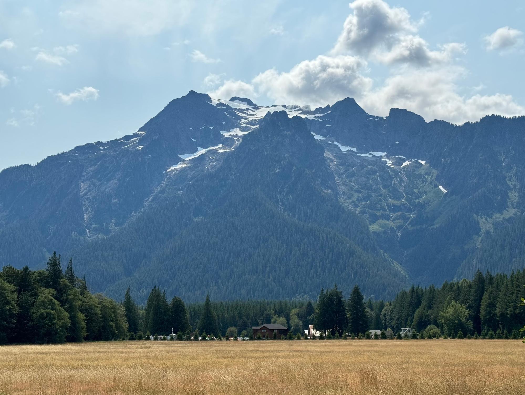
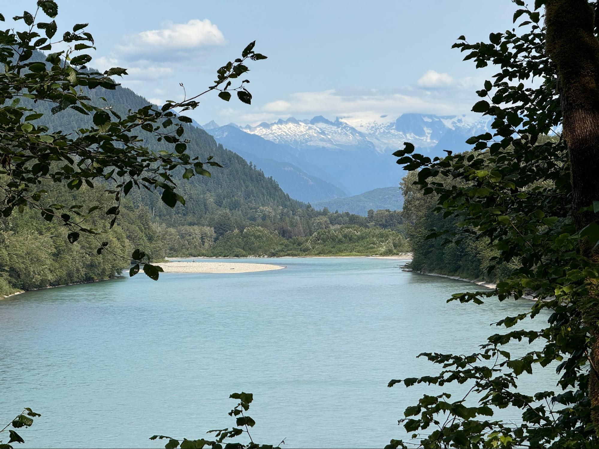
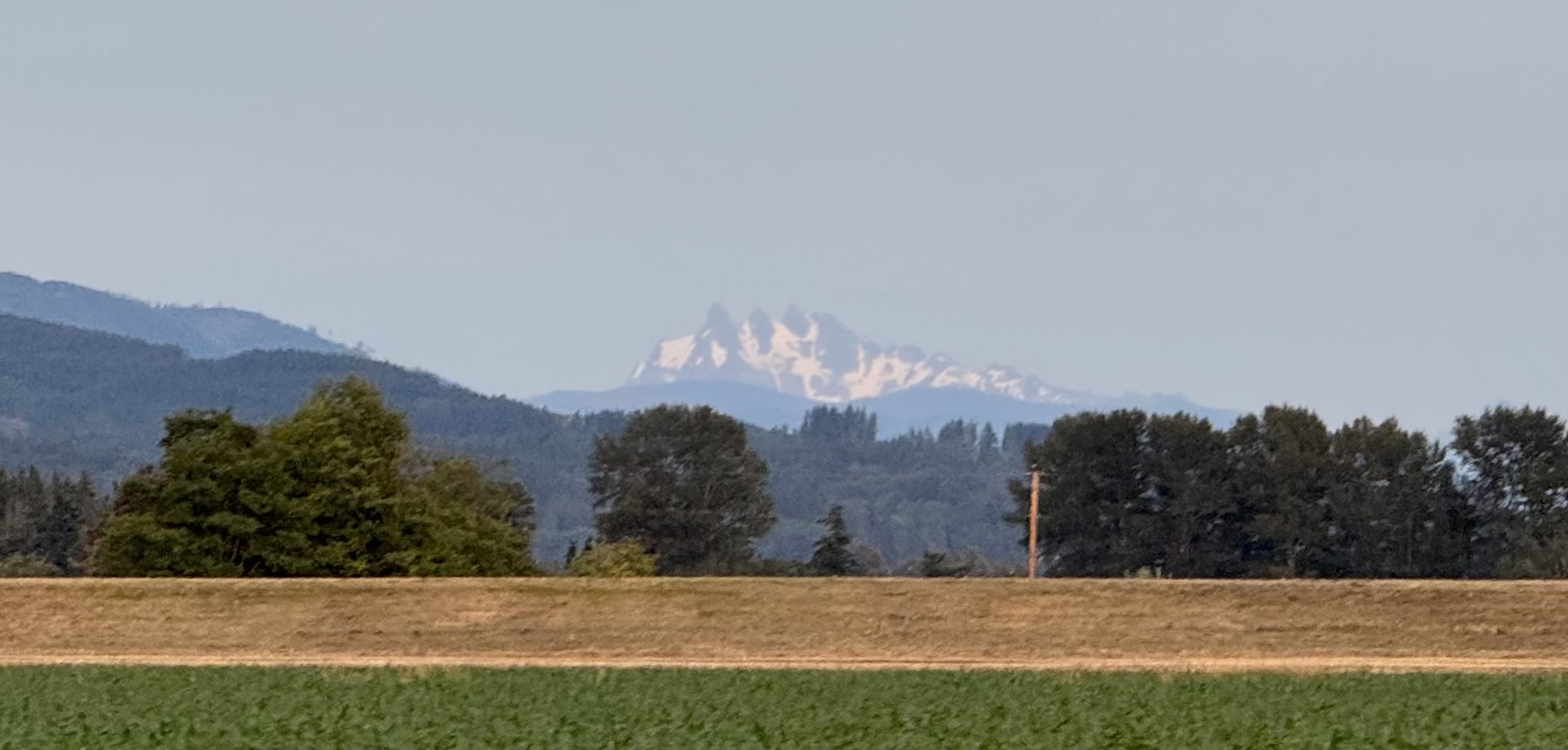
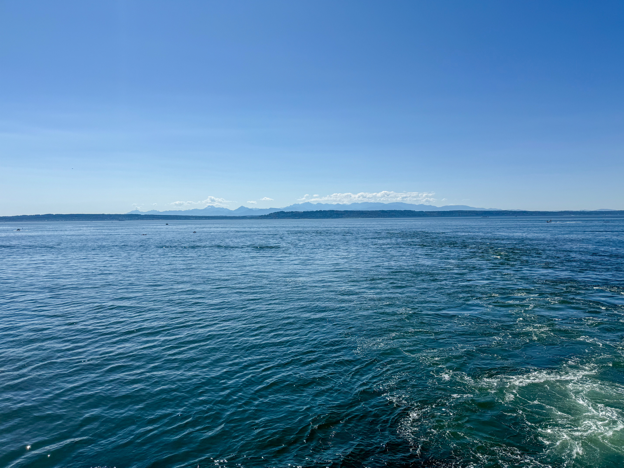
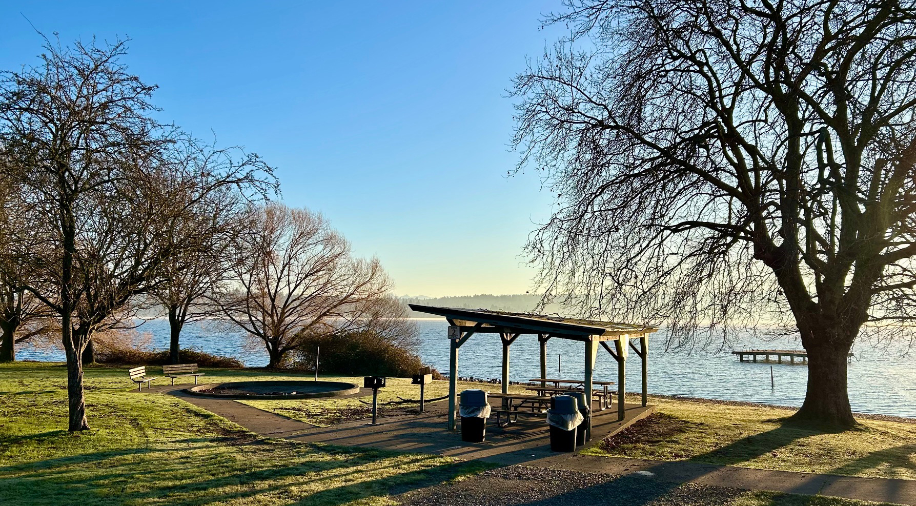
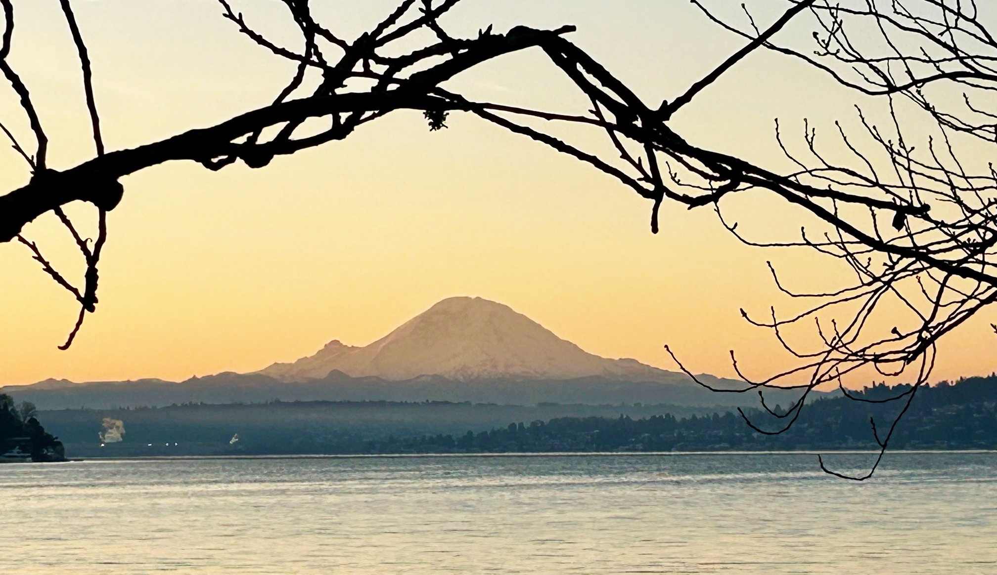
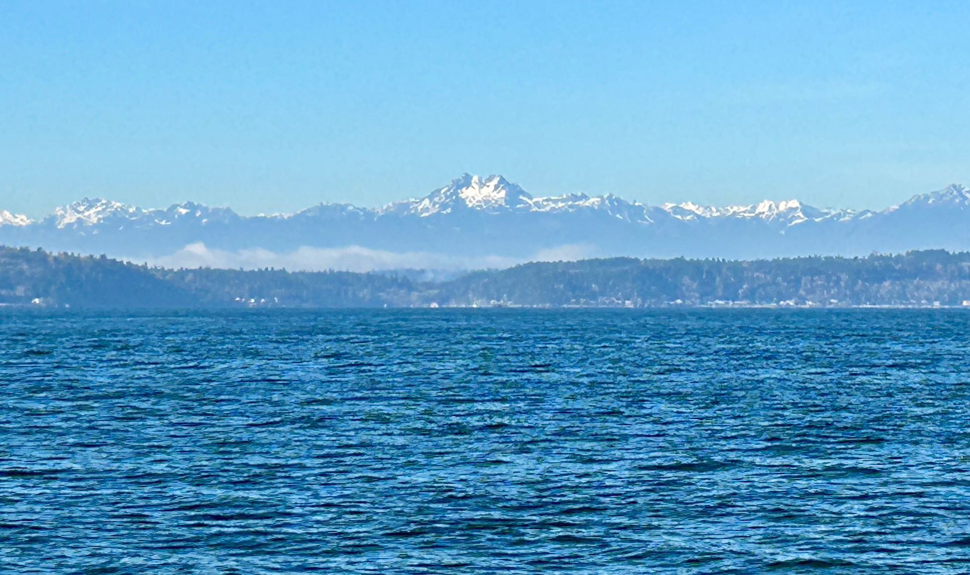
At km 21.8, we enter Seward Park and Shore Loop Road, closed to traffic – and one of the key stretches we need to ride slowly and give pedestrians and other cyclists ample room – take your time and enjoy the filtered views of Mt Baker (visible on a clear day from Control 2 at Seward Park North Beach km 23.5), and Mt Rainier from Seward Park’s south beach.
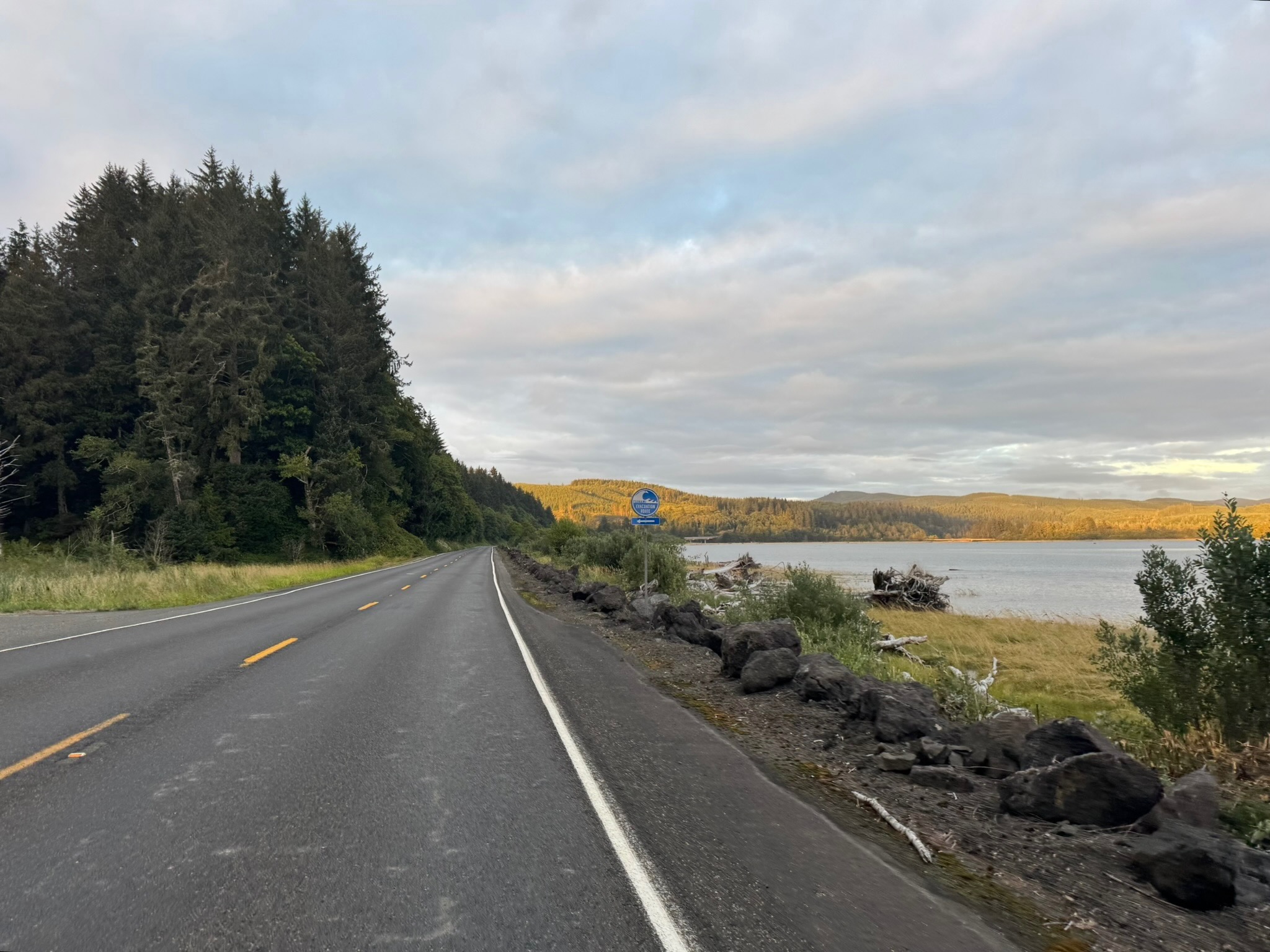
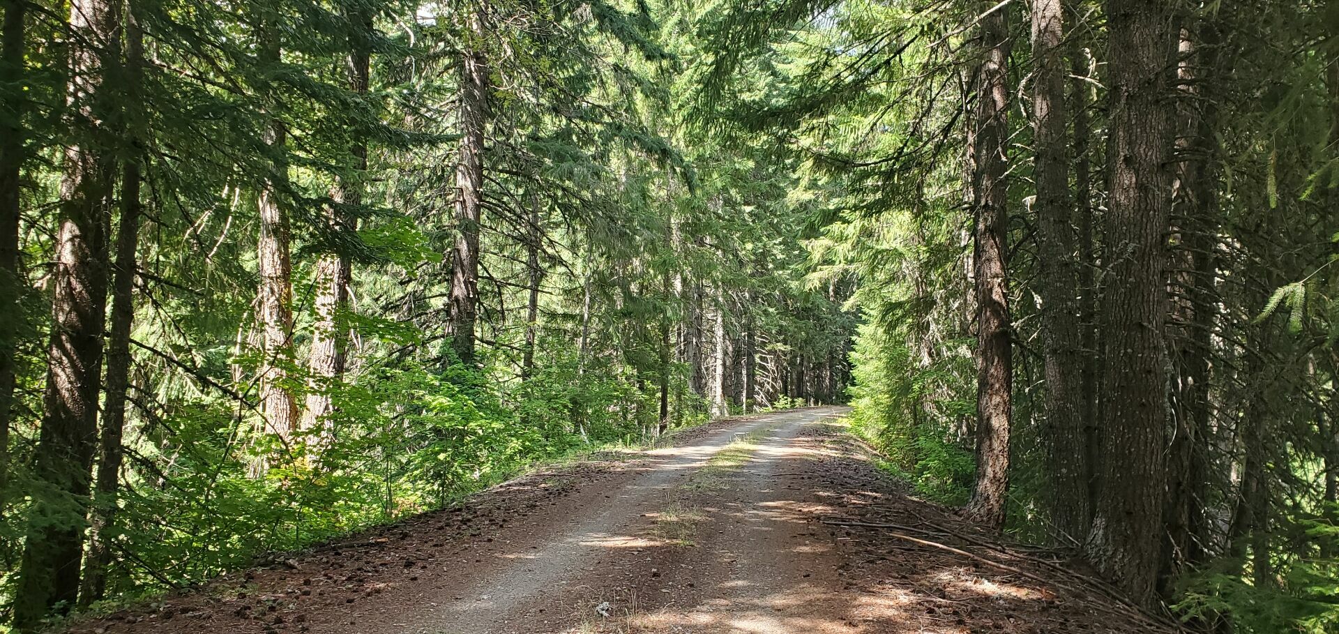
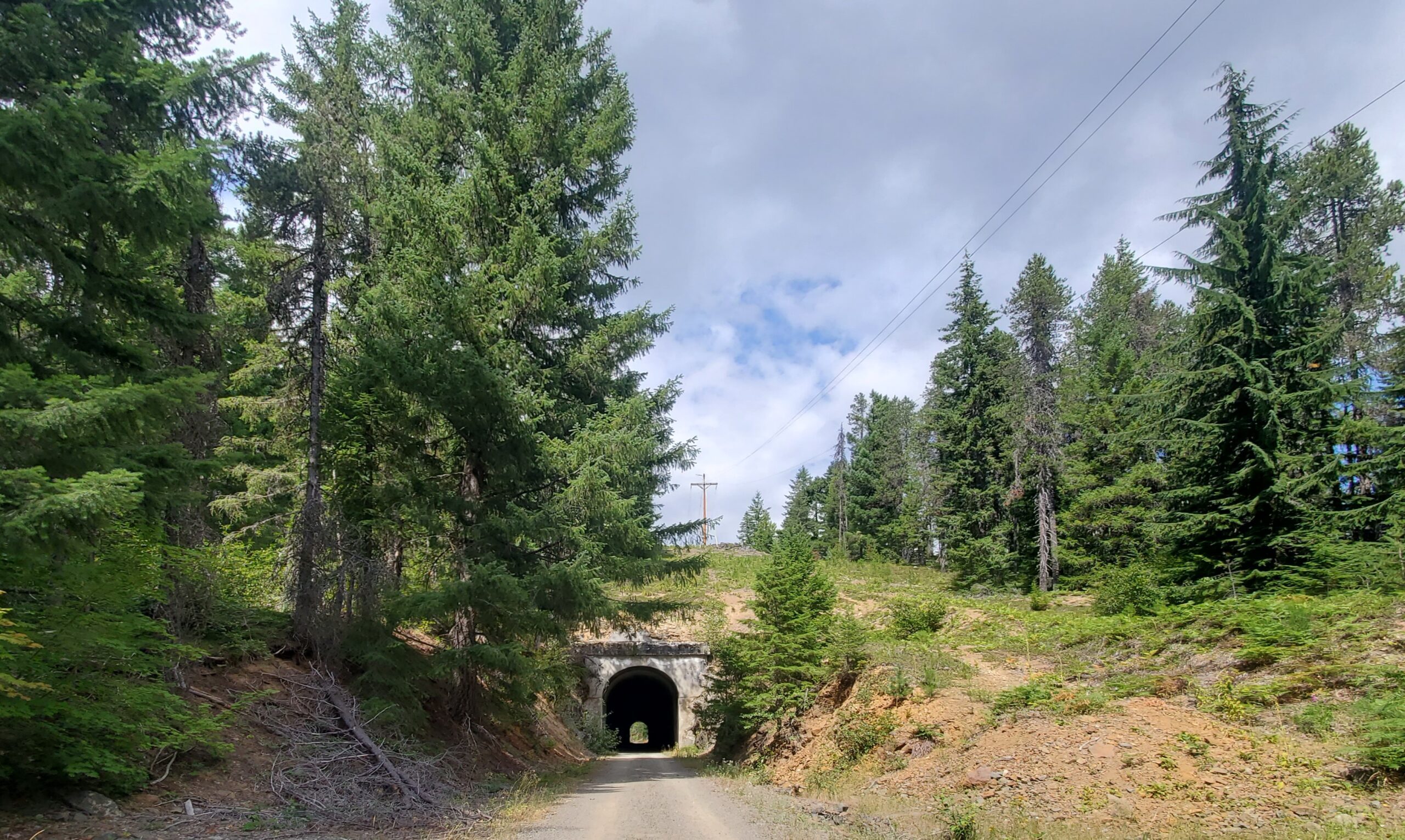
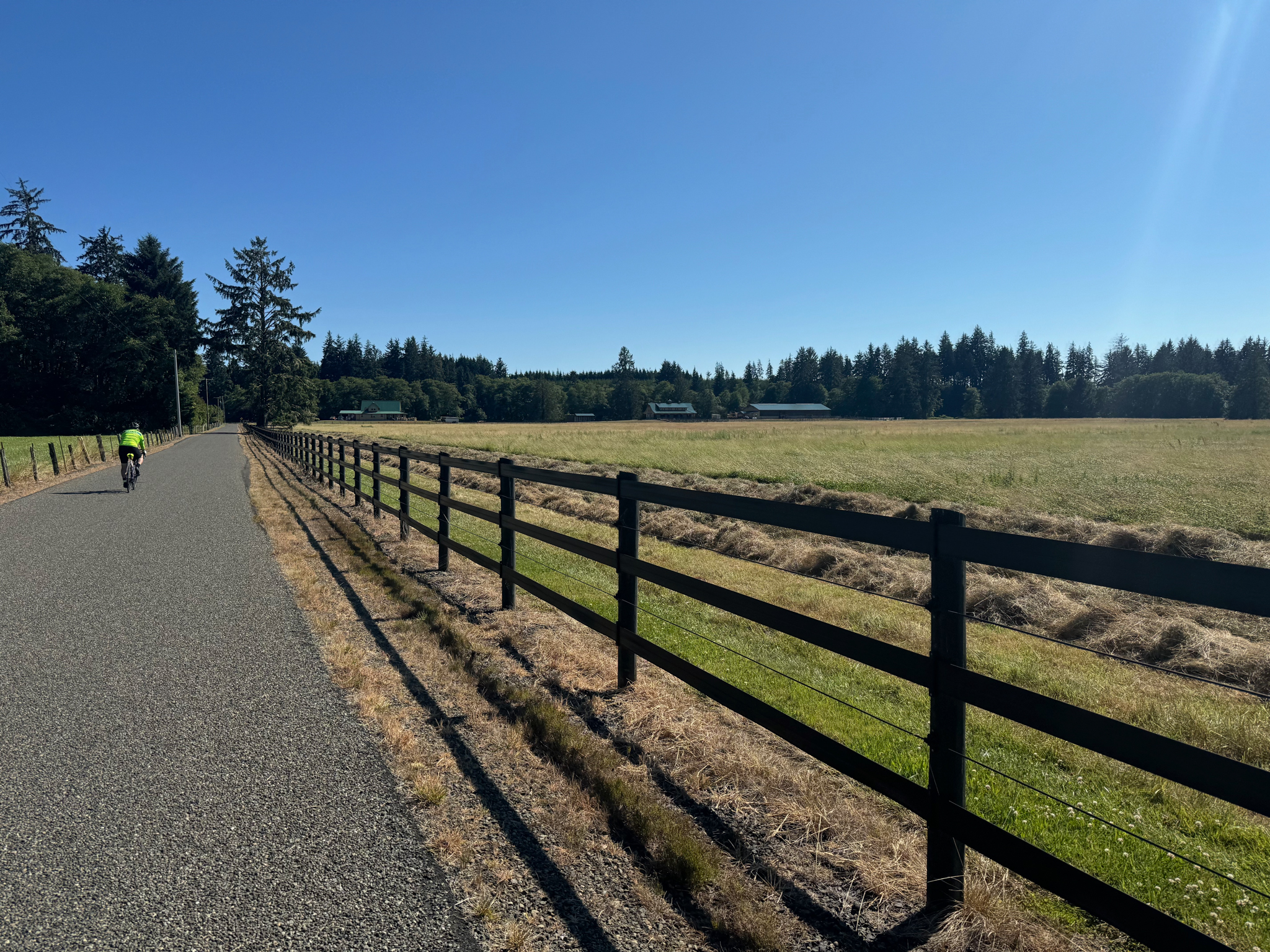
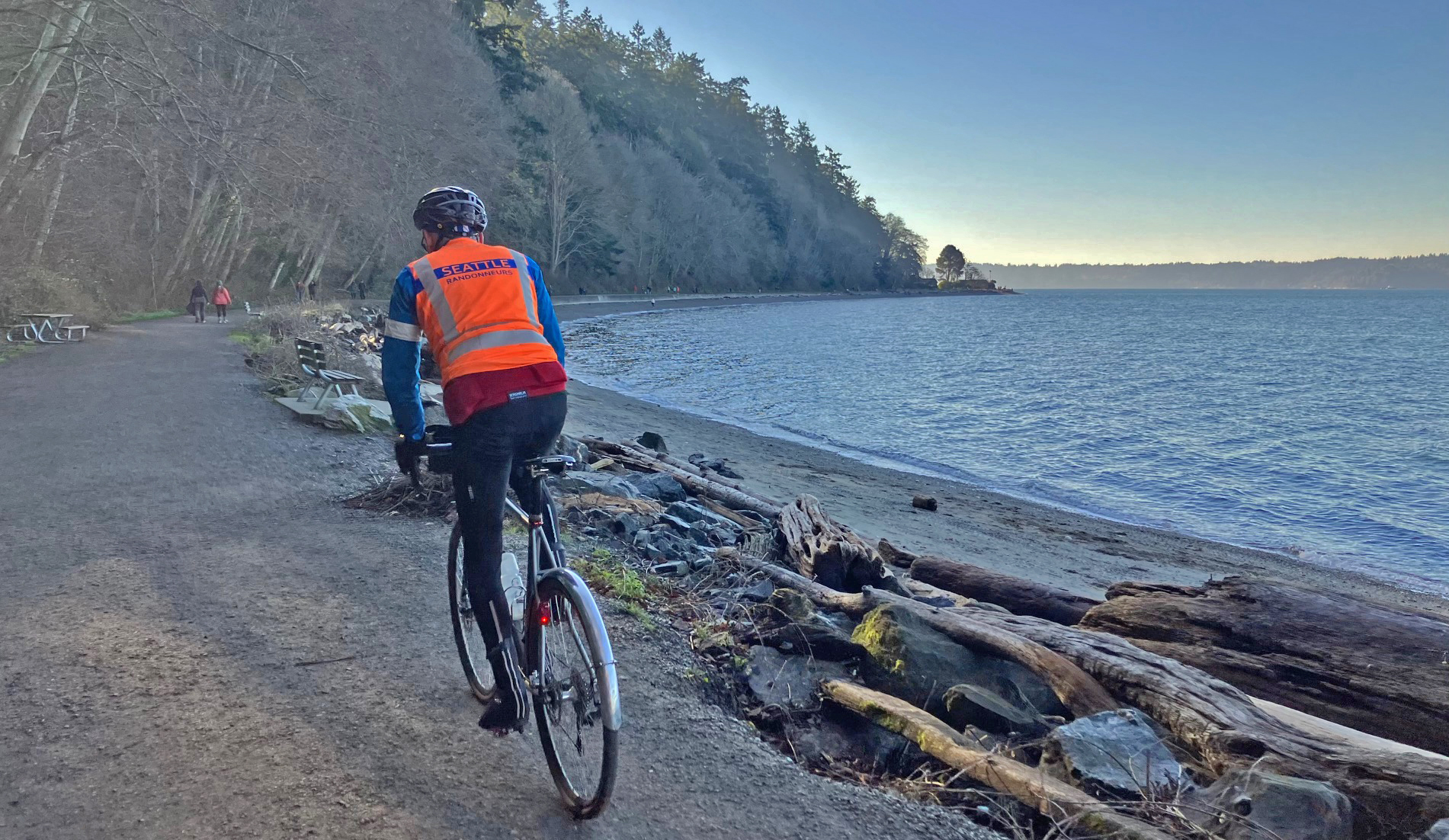
Leaving Seward Park, we climb Seward Park Ave and head west through Othello, then navigate the north end of Boeing Field and South Park. At km 31.4, coming down South Albro Place, take care shifting to the left lane to move over to the new bike lane after Ruby Chow Park. This newly completed bike lane from km 31.9 to 33.5 along the south side of Albro Place and east side of East Marginal Way is a great recent addition to our bike infrastructure, avoiding the need to ride along thse busy roads. At km 33.5, use the crosswalk to cross East Marginal to the 16 th Ave S Bridge over the Duwamish, then weave your way through South Park’s quiet back streets to the Duwamish Trail, passing Control 3 Gears at km 35.4. At km 39.2, you’ll ride through a nice grove of madrones with filtered views of Harbor Island and downtown Seattle. At km 41.0, take care crossing West Marginal Way to a recently finished bike path which avoids the climb up and under the W Seattle Bridge. If traffic is busy here, use the pedestrian button at the crosswalk to stop traffic. The curb cut to the bike path is narrow so take it easy here. At km 42.3, we turn north to continue on the Alki Trail, then shifting to Harbor Avenue SW. There are plenty of public restrooms and eateries along Alki Beach, but don’t linger as there are plenty more distractions and climbs ahead! After Alki Point Lighthouse, Control 4 at 48.6, continue south to Lincoln Park. At km 53.7, you enter a relatively narrow gravel path along the beach which can sometimes be crowded with pedestrians and kids riding bikes: another key stretch to be ridden very slowly when passing pedestrians. Take time to compliment that cute dog or little kid riding her bike.
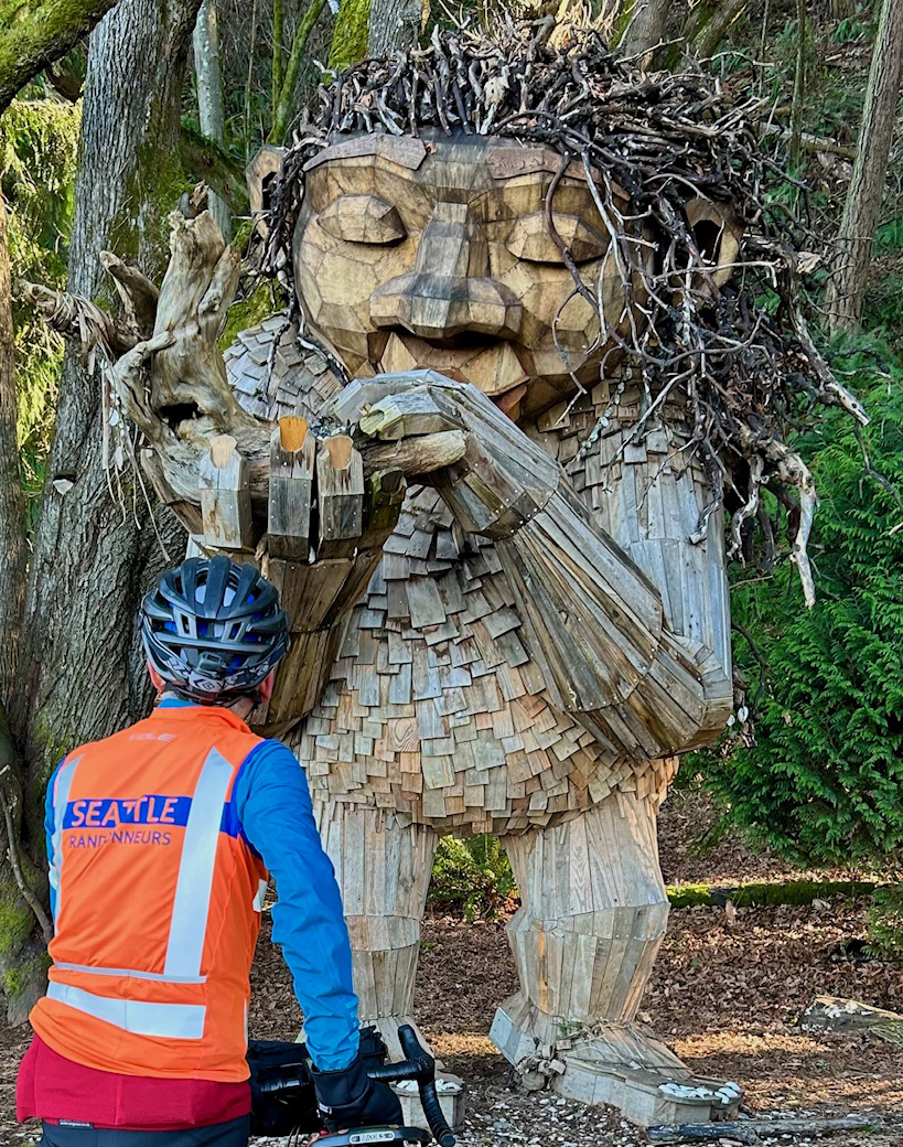
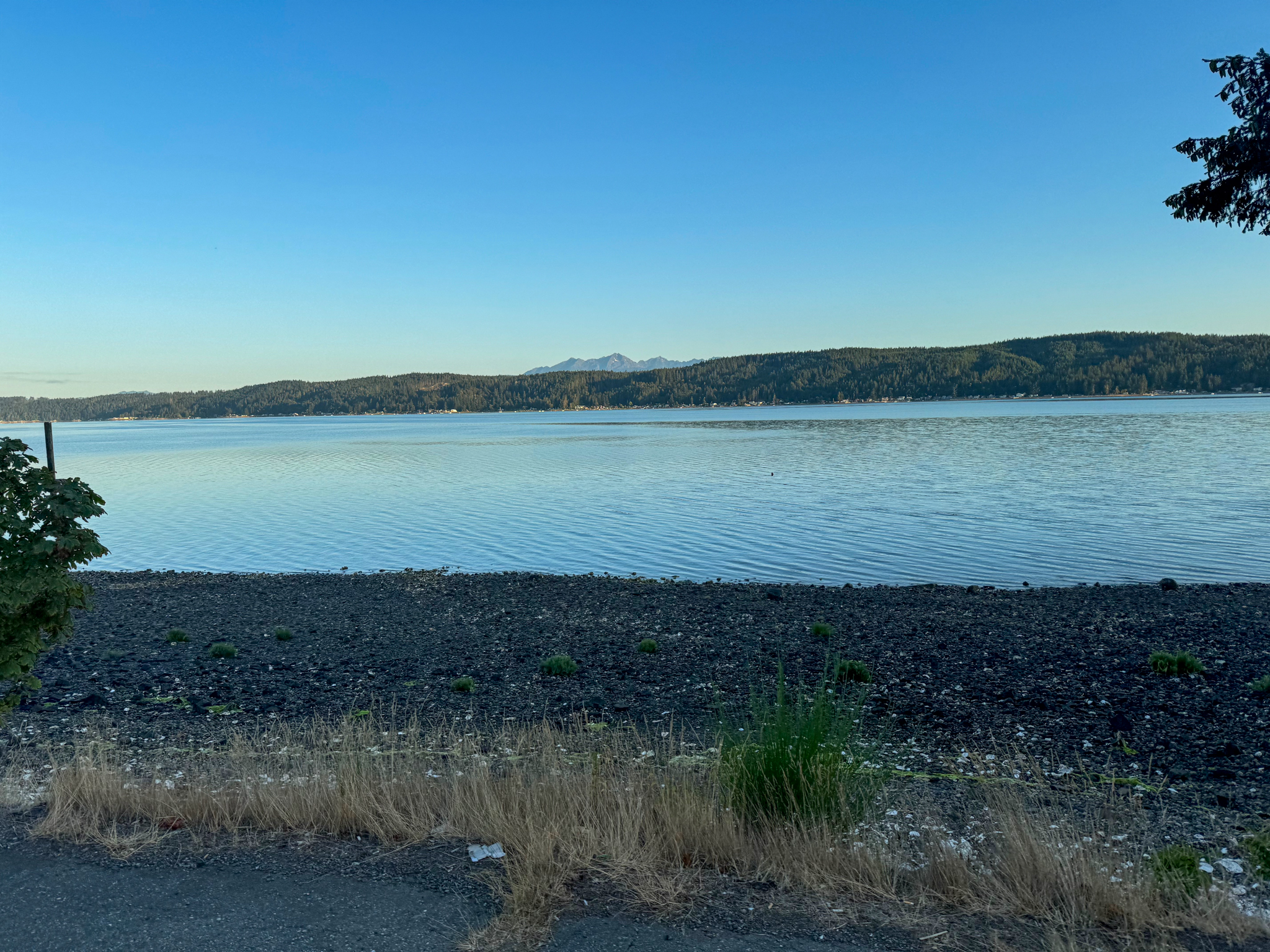
After a visit with Bruun Idun – the Way of the Bird King, we return north, enjoying views west to the Olympics.
Leaving Lincoln Park, you climb up via Erskine Avenue to downtown West Seattle, passing Bakery Nouveau on California Ave at km 58, then continuing east and north along SW Alaska St and SW Avalon Way. Take care along SW Avalon Way’s protected bike lane which is relatively narrow. At km 60.3, be cautious crossing SW Spokane St to rejoin the Alki Trail, and continue around Harbor Island and north to Seattle on the newly completed Portside Trail to downtown. At km 66.1, shift to the Waterfront Bike Trail through the downtown waterfront: take your time and obey the stop signals at the many pedestrian crossings.
A short climb around the new Aquarium takes you to the finally complete Alaskan Way Cycletrack leading to the Olympic Sculpture Park. Be careful entering the park at km 86.6, passing the Bourgeois Fountain to Elliott Bay Trail. In Myrtle Edwards Park, at km 70.2, a portion of the separated pedestrian path is closed, so we again share the road with walkers. Continuing north along the railyards, you then turn south for a gentle climb up Thorndyke Avenue and Magnolia Boulevard West, past Magnolia Viewpoint, with views to downtown and Mt Rainier.
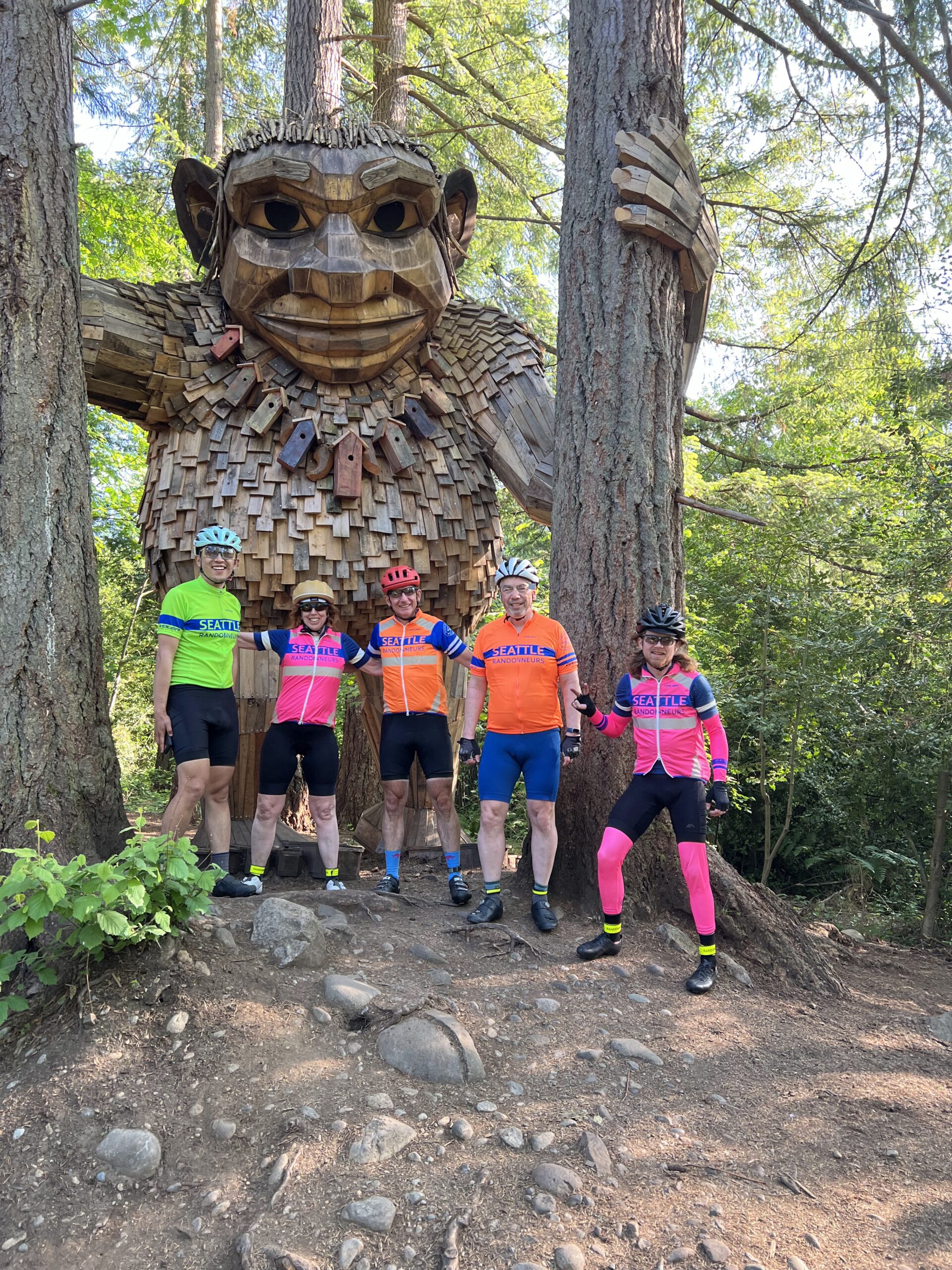
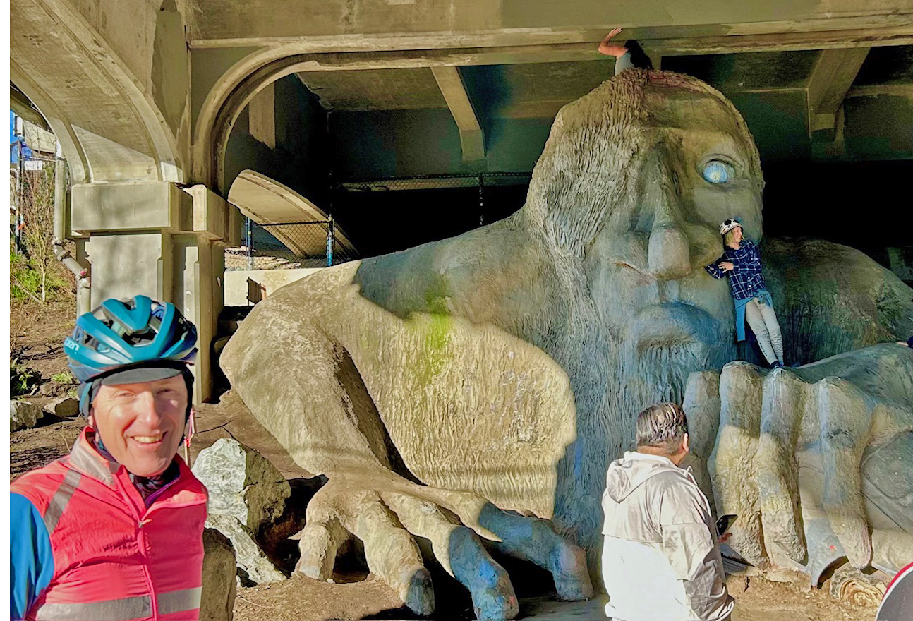
At km 78.6, you enter Discovery Park (formerly Fort Lawton Army Base), crossing open fields, with views to the Olympics to your left and officer quarters / FAA Radar Site to your fight. You then head east for a nice downhill forested stretch on Discovery Park Boulevard to Gilman Avenue West: at km 81.4, slow down to shift over to the Cycletrack at 29 th Ave West. At the traffic light – km 82.3, be careful at the turning left onto the West Emerson Place Cycletrack. After a brief downhill, akm 82.5, slow down to shift over via a tight curbcut onto the ‘Ship Canal Trail’: the next stretch of sidewalk has some root heave issues, and there are some tight turns at km 83.2. After passing under the bridge at km 85.6, miss the immediate turn slight right up the trail to the path adjoining Westlake Ave, then turn north over Freemont Bridge and up another short climb to visit the Freemont Troll (synopsis from Wikipedia: “built in 1990 by artist/architect Steve Badanes, inspired by Norwegian folklore, the 18 feet tall Troll constructed with 13,000 lbs of concrete, is clutching an actual Volkswagen Beetle, as if it had just swiped it from the Aurora Bridge above. Originally, the car held a time capsule, including a plaster bust of Elvis Presley, which was stolen when the sculpture was vandalized.”)
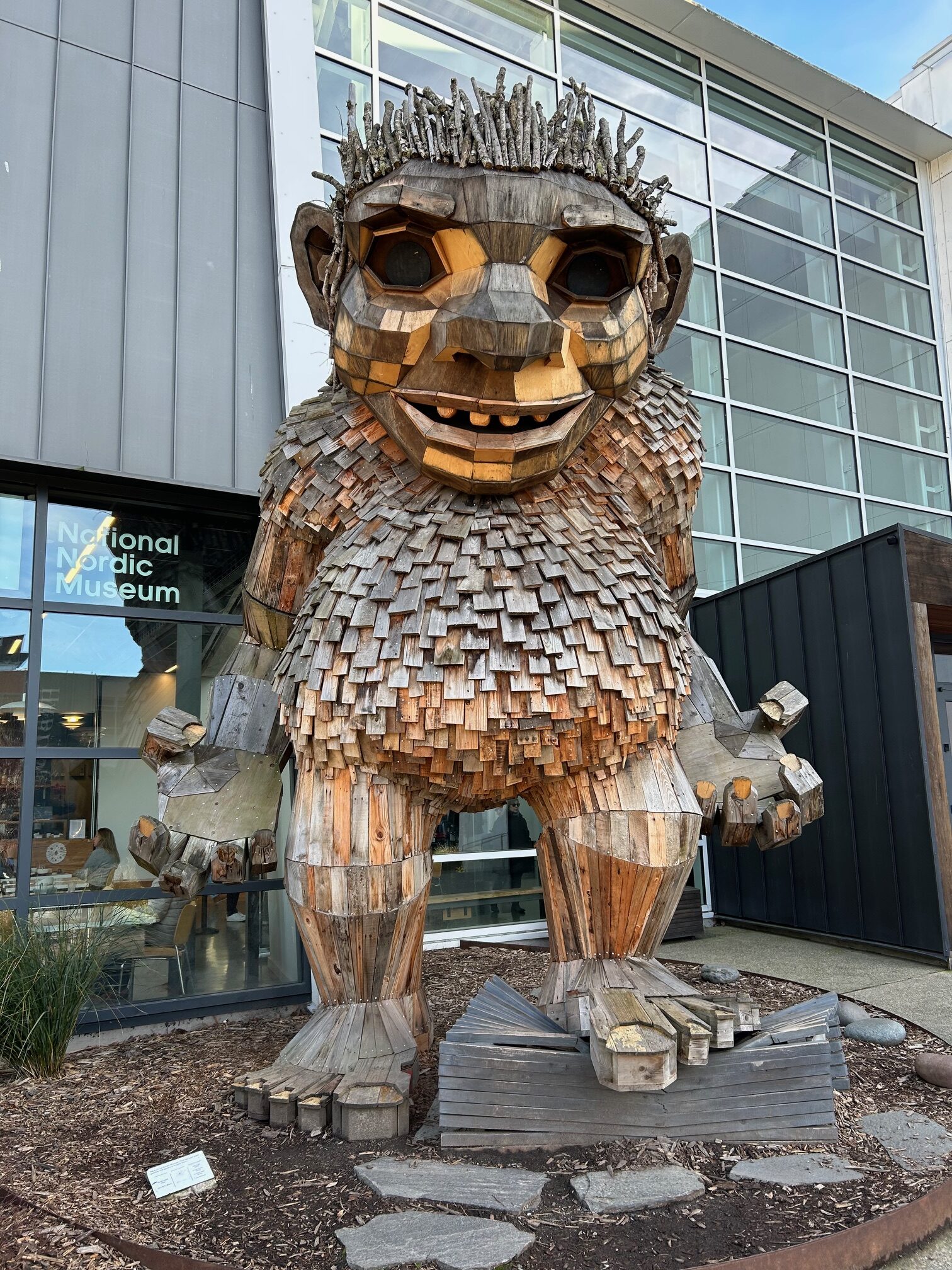
A short steep few blocks down Troll Avenue takes you to the Burke Gilman Trail, where you head west to Ballard. At km 91.0, take care navigating the intersection at 24 th Ave NW and Market Street: the intersection is likely to be crowded. Dismount and cross the crosswalk at the light to the bike path. Two blocks west of here, you pass the National Nordic Museum and a visit with Frankie Feetsplinter
Proceeding north on the last stretch of the Burke Gilman, be careful navigating the end of the trail and entry to Golden Gardens at km 94.6 – lots of cars and pedestrians headed to the beach. The Golden Gardens Bathhouse and Kite Café at km 95.1 offers a good spot to catch your breath and gear up for the big climb of the ride.
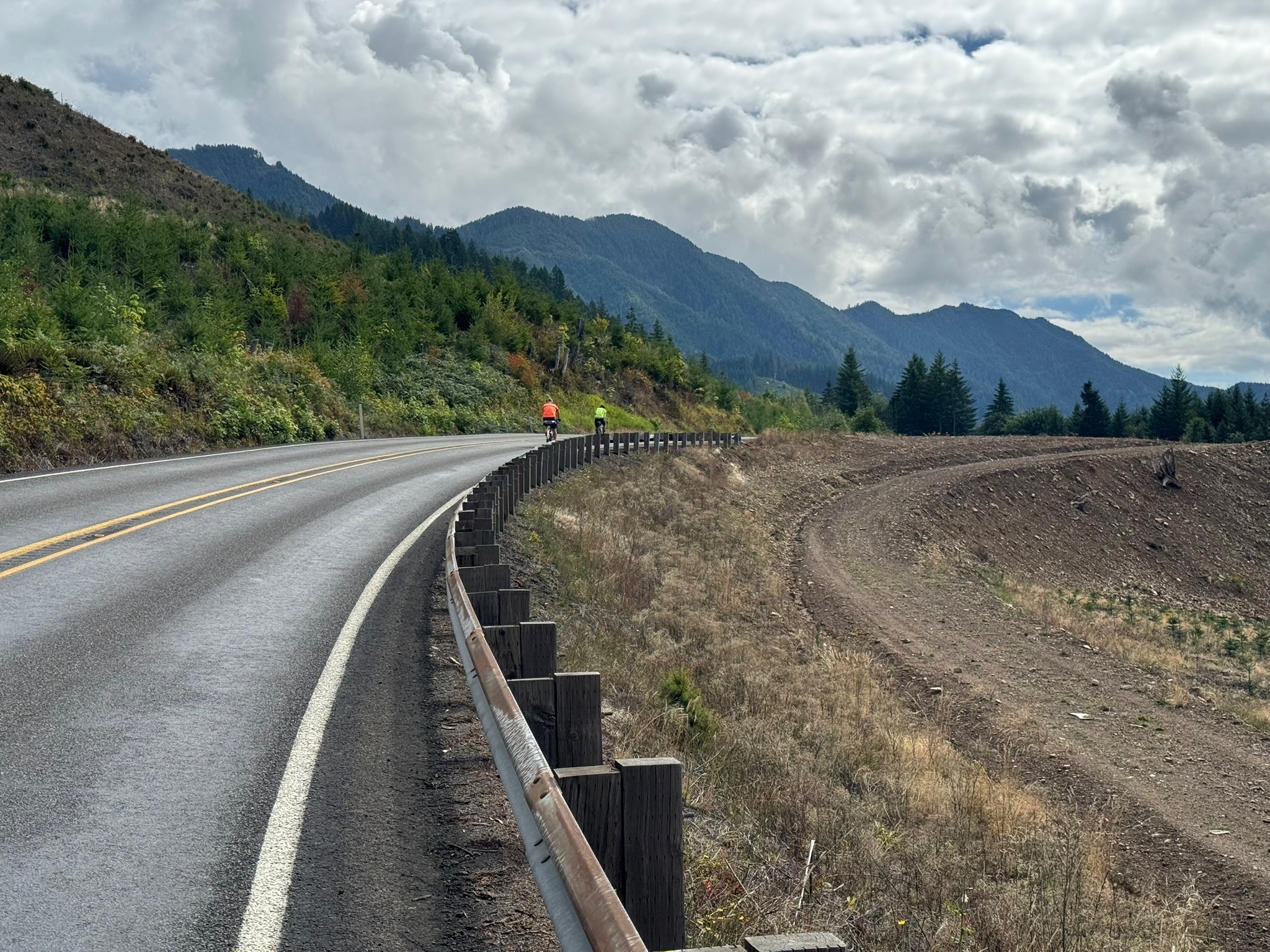
Returning south briefly to the park entry gate, you turn left for a winding climb up Seaview Place Northwest – be careful as there is very little shoulder and a fair bit of traffic, but drivers are typically respectful. Moving east and north through relatively quiet residential streets, you arrive at the Interurban Trail at km 103.4, then north to Echo Lake, and east to Perkins Lane at km 112.9. After a brief climb to the crest, you’re on a delightful winding descent through the woods to Lake Forest Park. After crossing Lake City Way to the Burke Gilman, you head south – keep an eye out for the turn left at km 124.1 to Inverness Drive NE, then be careful on the short run on Sand Point Way with no shoulders. At km 124.8, you turn left for an easy-to-miss turn off Sand Point Way over gravel to a break in the hedge: watch out for the quick left on the gravel path, and take it slow as the path twists down to Magnuson Café and Brewery, where much deserved refreshments await.