Ray Whitlock pre-rode the 1000K route, and provided this report. Registration closes next Wednesday, and you can register here.
I have 2 confessions to make. The first, I DNF’d this ride, not necessarily because of ride difficulty or because of medical or mechanical issues, but simply because the rain on Day 1 and for the last 5 hours of Day 2 was non-stop. The second is that I rode the days out of order. With the weather forecasting ½ inch of rain and temperatures in the low 40’s near Lake Quinault, there was no way I was going to ride a route with 30 miles of gravel and going through many areas with no cell coverage. They say that bad decisions make for good stories, but I wanted to survive to tell mine. The good news is that it appears I got the bad weather out of the way for you all and the forecast looks great for June 25 – June 28!
What follows is a daily account of what I found on the ride as if I had ridden it in the proper order. Since I couldn’t convince myself to ride an entire 300K in a downpour, I didn’t ride Day 3 but did drive most of the route and have a pretty good idea of what to expect. Well, except for the pit bulls. I also was able to ride the section of the Willapa Hills Trail that’s on Day 3’s route a couple weeks ago, so have first-hand knowledge of that section.
Day1 :
Heading out of town early in the morning, the route travels some normally busy roads. However, at 5:30 am, it will be no problem. Before you know it, you’re out of town and almost feel like you’re in the wilderness already. On a calm, misty morning, the sights along Mud Bay and Madrona Beach are gorgeous.
Highway 101 is a busy road but there’s a wide shoulder so no issues there. At approximately 8 miles from the Matlock Store, I was shocked out of my zone by a pit bull that came running out of his driveway unimpeded and headed straight for my left foot! It was all I could do to get unclipped and off my bike while nearly falling over to get my bike between me and the dog. I yelled at him to go home several times before he finally started doing so. As I started pedaling again, he once again gave chase. I yelled again and walked my bike for a while until I was certain he was back home, and I could outrun him if need be.
Your first opportunity for food and water comes at the Matlock Store ~37 miles from the start of the ride. The store doesn’t open until 8 am so if you’re fast, you may get there before they open. It may be worthwhile though as the next opportunity for water isn’t for another ~30 miles at Wynoochee Lake and your next opportunity for food isn’t for another ~70 miles at Lake Quinault.
The section from Matlock to Wynoochee is straightforward. There’s a slow 2.5-mile section of gravel at mile 49, but I rode it on tubeless 28’s and didn’t have any issues. Turn right at mile 66.5 and you’ll have a nice descent on a beautiful paved road down to the Wynoochee Lake dam. Keep riding until you get to the signs indicating the campground and boat launch. I had some difficulty finding the boat launch, but if you veer right past the sign that says “Welcome to Coho Campground” and don’t enter Loop B of the campground, you will find a parking lot for boats, bathrooms and a steep, short downhill to the lake. The views are definitely worth it! Enjoy some lunch in the sunshine, fill up your water bottles and enjoy the spotless restrooms with running water.
Retrace your steps to get out of Wynoochee and turn right onto Forest Service Road 22/Donkey Creek Road. The gravel begins almost immediately and doesn’t stop completely for 14 miles. There’s a long stretch of gravel followed by a long stretch of pavement and then gravel and pavement interspersed with each other frequently. The gravel is in pretty good shape, but I did find myself riding on the wrong side of the road to find a good line. If you do this, beware that people camp along this road and you should expect vehicles. Stay alert, keep your headlight on and try not to do this on blind corners. I rode on 28’s but you may be able to go faster and be happier if you ride on 32’s or larger. Also, I had no Verizon cell service from Wynoochee all the way to Highway 101 so it may be a good idea to have a Spot or InReach GPS tracker with you on this ride in case you need help in this area.
Once you turn onto Highway 101, it’s 13 miles along this busy, but well-shouldered road to your next turn. The Lake Quinault area has 2 choices for food and beverages along the South Shore Road and 1 on the North Shore Road. It’s probably best to stock up as soon as you can as by now, as it’s been a long haul since Matlock. The Quinault Mercantile is open every day 8 AM – 8 PM. The road along the south side of the road is nice pavement for about 8 miles until you hit gravel. The gravel along the south side is buttery smooth, but the north side offers some bigger stuff along with some potholes.
I found that once I turned east onto the North Shore Road, both of my GPS devices were constantly alerting me that I was off route. Ignore the noise and keep riding. There’s only 1 road on this side of the lake so it would be difficult to be off route. Stop at the North Grocery (open 5 AM – 10 PM) and restock your supplies as it’s another 20 miles down to the Humptulips Grocery store for the next opportunity.
There’s nothing very exciting between here and the end of the ride, except for the fact that when I was entering the small town of Montesano, I had flashbacks of PBP 2019 as the entrance into town was slightly uphill with a church at the top! It was about then that I looked down at the road conditions and realized, nope, I’m not in France!
Day 2: Whereas Day 1 headed west to the Olympics, Day 2 takes us east to the Cascades and near Mt. Rainier. The day starts off heading south on less busier roads than days 1 or 3. You’re out of town before you know it with plenty of services along the way as you’re generally paralleling the west side of I-5 all the way down to Chehalis. Don’t miss the turn at mile 22.7 like I did! You really do take the I-5 South on ramp, but you don’t get onto I-5 as the road splits beforehand.
There is a nice couple mile long stretch of trail that parallels the road between Centralia and Chehalis which is a nice relief from riding on the road. Make sure you stock up in food and water once you get to Chehalis as the next opportunity to do isn’t for another 40 miles in Morton. Once you turn east out of Chehalis, it’s a long gradual climb out through Alpha and Cinebar with little traffic. Eventually, you parallel the Tilton River for several miles of beautiful riding through big forests.
In Morton, you’ll have to go off route south for about ½ mile to get to services at the Morton Country Market. However, I felt it was well worth it as they have everything you need including a hot food bar and a nice wood shed located right next to the entrance where I was able to sit and get out of the rain. For the rest of you, maybe you’ll need relief from the sun.
From Morton, you’ll continue on a nice stretch of road until you eventually hit Highway 12 which is a busy road but has a nice wide shoulder. The next opportunity for food and water is in Randle where you turn south to get off the highway. Now you’re back on pleasant and peaceful country roads with little traffic. That is, until you encounter the Pit Bull Challenge #2 along Cline Road at approximately 3.5 miles before you hit Bennett Road. I spotted this guy barking at me and running along the other side of the fence and didn’t think much of it as randonneurs encounter this all the time. You see the dog running but you know you’re safe because there’s a fence between you and him, so you blow him kisses or say sweet things like, “You’re such a good doggie”. Well, on this occasion, as I watched the good doggie running on the opposite side of the fence, I saw him disappear behind some trees and bushes temporarily until he got to the corner of his property where I thought the chase would end. To my shock and horror, he continued running as fast as ever but there didn’t appear to be a fence any longer! Next thing I knew, he was out on the road making a beeline toward my foot and it was déjà vu all over again trying not to fall over while fighting off this beast. He did eventually give up after a lot of yelling and walking of my bike and using it as a shield between him and I. On neither of these encounters did anyone at the homes of these good doggies appear or voice any kind of commands to their pets, so exercise caution as it may be a regular thing with all cyclists.
With my blood pumping, the next 6 or 7 miles along Bennett Road and Highway 12 into Packwood were a piece of cake. There are plenty of choices in Packwood for food and drink, but I chose the 76 station at Skate Creek Road as they have plenty of choices and there’s an info control there anyway. Stock up here because the next opportunity isn’t for another 25 miles in Ashford at the always friendly Suver’s General Store.
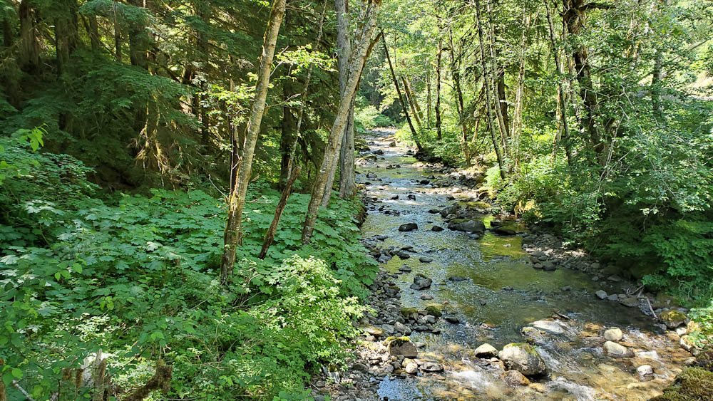
From there, it’s a beautiful ride up Skate Creek which is a 10- or 12-mile climb but it’s a nice, gradual incline coming from this side. The early Summer we had in May, followed by our most recent monsoons in June-uary have the greens of the forests and the whites of the gurgling creeks popping in a stunning array of colors. At the next stop of Ashford it’s a cruise along Highway 706 to Elbe where you join Highway 7. Beware of the railroad tracks both on your way into and out of Elbe as both sets are at treacherous angles to the road.
The next 10 miles of road are pretty busy with little to no shoulders in places. However, with it being a Saturday (instead of a Sunday when a lot of folks would be leaving Mt. Rainier) and the slow speed limits posted at some of the narrow, tight turns I think the traffic won’t be too much of a stress factor.
I must admit I really did not enjoy the 10 miles from Eatonville up to where you make the turn onto Kinsman Road. There’s a lot of traffic and once again, little to no shoulder in places. I did however find that most vehicles were courteous, and I don’t think I got honked at a single time. Make sure you have all your lights flashing and ride single file if you’re in a group.
You get to enjoy some peaceful forested roads once again when you turn left at mile 168. Who knew that a military base could be so beautiful and tranquil? Highway 507 all the way down through Roy and McKenna will snap you out of your bliss as there’s a lot of traffic but good shoulders.
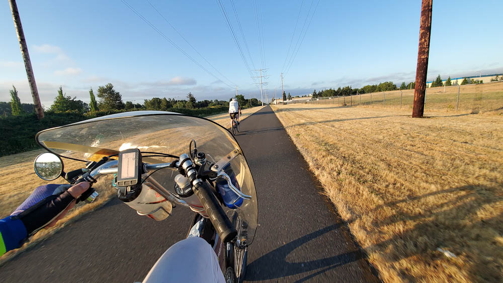
You pick up the bike path in Yelm for the next 13 miles. Enjoy being off the road for a while – you earned it! If you’re making good time and it’s still light outside, stop and enjoy the very funky and cool Monarch Sculpture Park. By now, you’re practically home, but don’t miss the turn on to Bonniewood Drive out near the airport as I did!
Once again, we’re heading west, but this time out to the Pacific Ocean instead of the Olympic Mountains. The road out of town takes a slightly different route than Day 1 due to RUSA rules. Early on a Sunday morning, it should be no problem. On this day, you take Highway 8 to go west. Again, a busy road with a wide shoulder. The first opportunity to restock your food and drinks is at McCleary, approximately 22 miles from the La Quinta. You’ll soon be following familiar roads, except that things look all turned around because on Day 1 you were traveling some of these roads in the opposite direction.
Stock up in Montesano because it may be a while longer for any other opportunities depending upon what you’re able to find in Cosmopolis and along the highway to Twin Harbors. Heading out of Montesano there are some narrow bridges and hills along Highway 7 but a good shoulder to ride on otherwise.
As you pull in to Cosmopolis up Blue Slough Road, make sure you take an immediate left onto 2nd to the left of the Cosmopolis sign as soon as you take a right on 1st. It comes up fast! Make your way to the trail adjacent to the yellow Lions Club building. There’s fountain water and honey buckets available.
You may get lucky and find some services open along Highway 105 on a tourist-filled Sunday afternoon. If not, enjoy the views of these lush forest and tidal landscapes. Just past the first Twin Harbors entrance, you’ll find a Shell station with a Subway sandwich shop on the right. Otherwise, the next entrance to Twin Harbors offers flush toilets and running water.
Once you enter Grayland (I’m starting to understand how it got its name), you get a nice reprieve from Highway 105 by turning onto some flat side roads through some very scenic cranberry bogs. Thank you, Ocean Spray! The next stop on this route offers some nice views of the ever-wild Pacific Ocean. If you hauled your surfboard with you, you may be able to curve some nice turns down there.
Further on up the road, Tokeland may offer some services at the casino or the 76 station. Otherwise, make your way down the coast to Raymond where there is a 76 station, a coffee shop, and a Dairy Queen. All are just a bit off route but probably worth it. The next opportunity isn’t for another 28 miles in Pe Ell.
In Raymond, I was hoping the route could turn onto a short section of the Willapa Hills Trail to avoid some traffic on Highway 6. However, after checking it out in the pouring rain, I’m not certain the chunky gravel is very ridable once the pavement ends. Thus, up Highway 6 it goes with some tight turns and a narrow bridge right outside of Raymond, followed by a couple narrow bridges further on up the road.
There are sections along this road that have little or no shoulder; however, on a Sunday night with your bike lights flashing, I don’t think it will be an issue.
The Pe Ell Texaco station, 28 miles from Raymond, should be open until 10 pm on a Sunday night. Shortly thereafter, you finally get to turn onto the packed gravel and very dark by this point, Willapa Hills Trail. Over the Memorial Day weekend, I rode this section of mostly packed gravel at almost road speeds on tubeless 28’s. The only difference is that then it was broad daylight whereas by now, it will probably be completely dark. Have your headlights blazing and it will probably go just as smoothly for you.
Approximately 19 miles later, as you’re preparing to turn left onto Highway 6, please exercise caution as the gravel here is very large and loose and the left-hand turn onto Highway 6 is a bit of a blind corner with vehicles approaching at high speeds from the left. There’s a 76 station not too far up the road from here.
As you enter Centralia on the sidewalk under I-5, the Chevron straight ahead of you may be the last chance for supplies so you should probably stock up now if you need it. The last 30 miles into Tumwater is nothing exciting but fairly straightforward in getting the horses back to the barn.


