Text and photos by Phil Neff

“A lie has speed, the truth has endurance” – Edgar J. Mohn
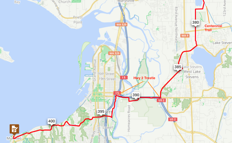
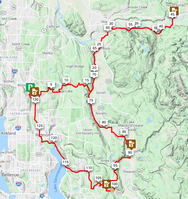
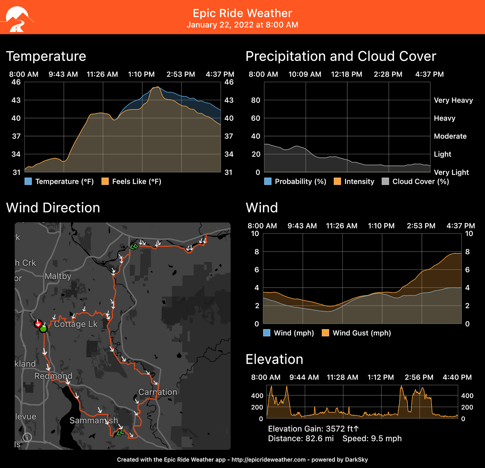
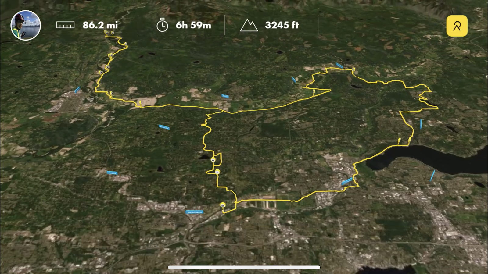
This course winds through river valleys into the foothills of Tahoma at Carbon Glacier trailhead in Mt. Rainier National Park, diverts to a punchy climb of Mud Mountain in Enumclaw, and returns via a loop of Lake Washington and Lake Sammamish. With less than 2000 meters of climbing over 300 kilometers, this is a great “season opener” longer brevet, but keep in mind that most of the elevation gain comes during the middle section of the ride and save energy for the ride back in!
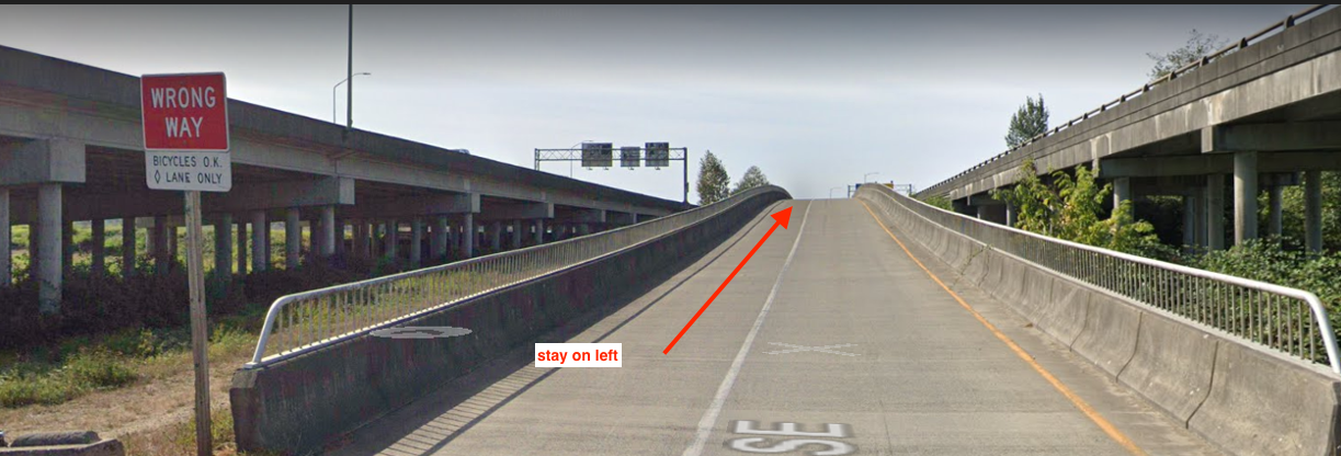
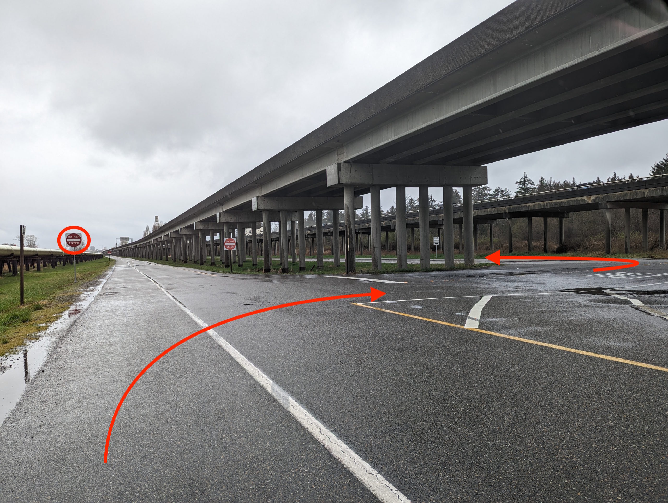
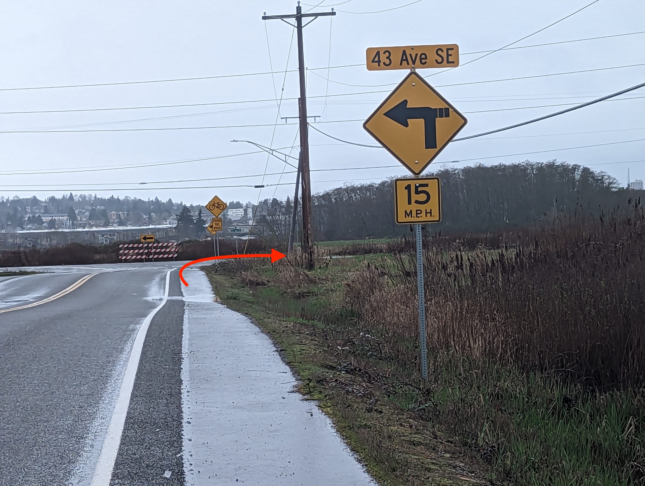
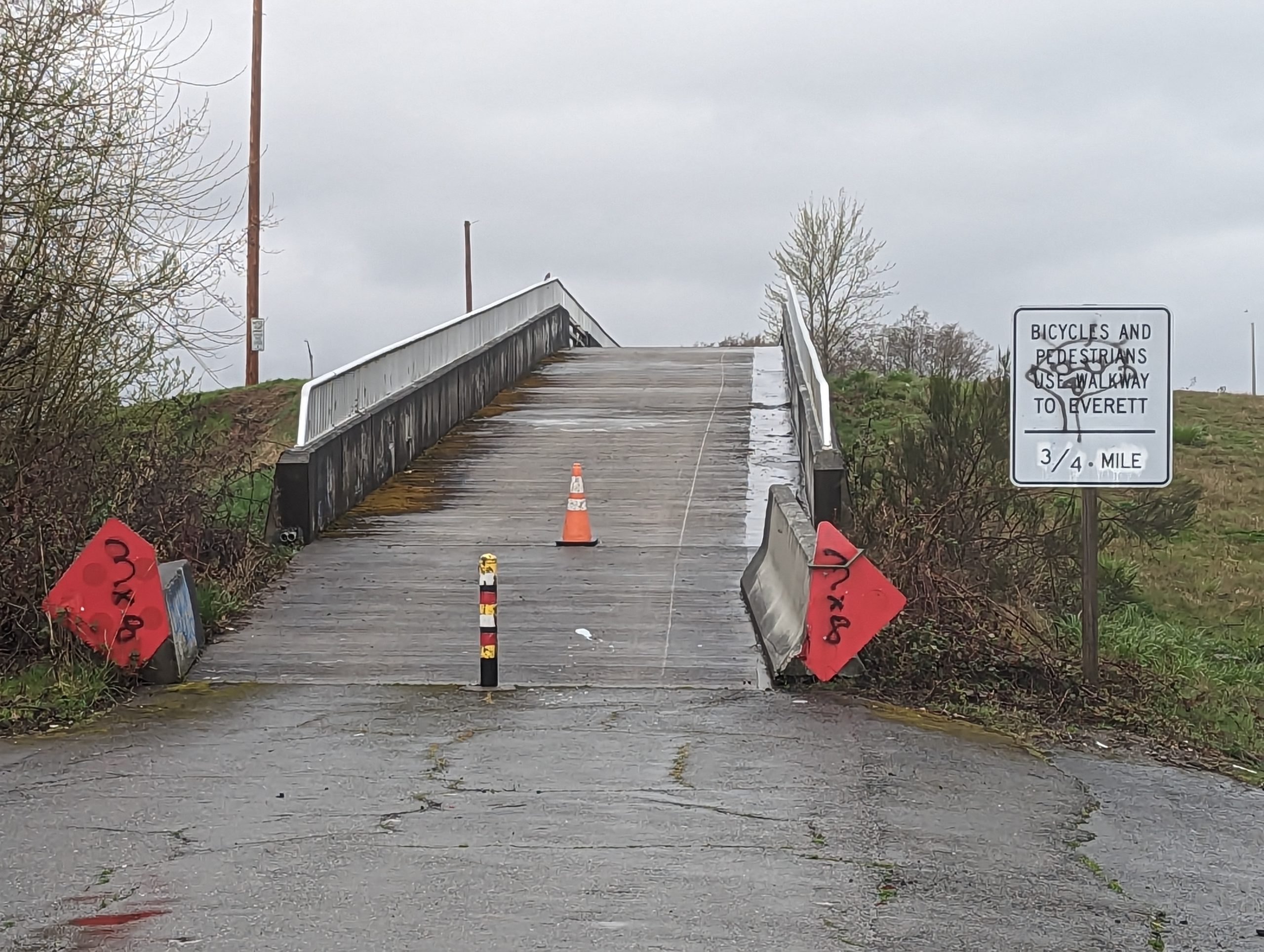
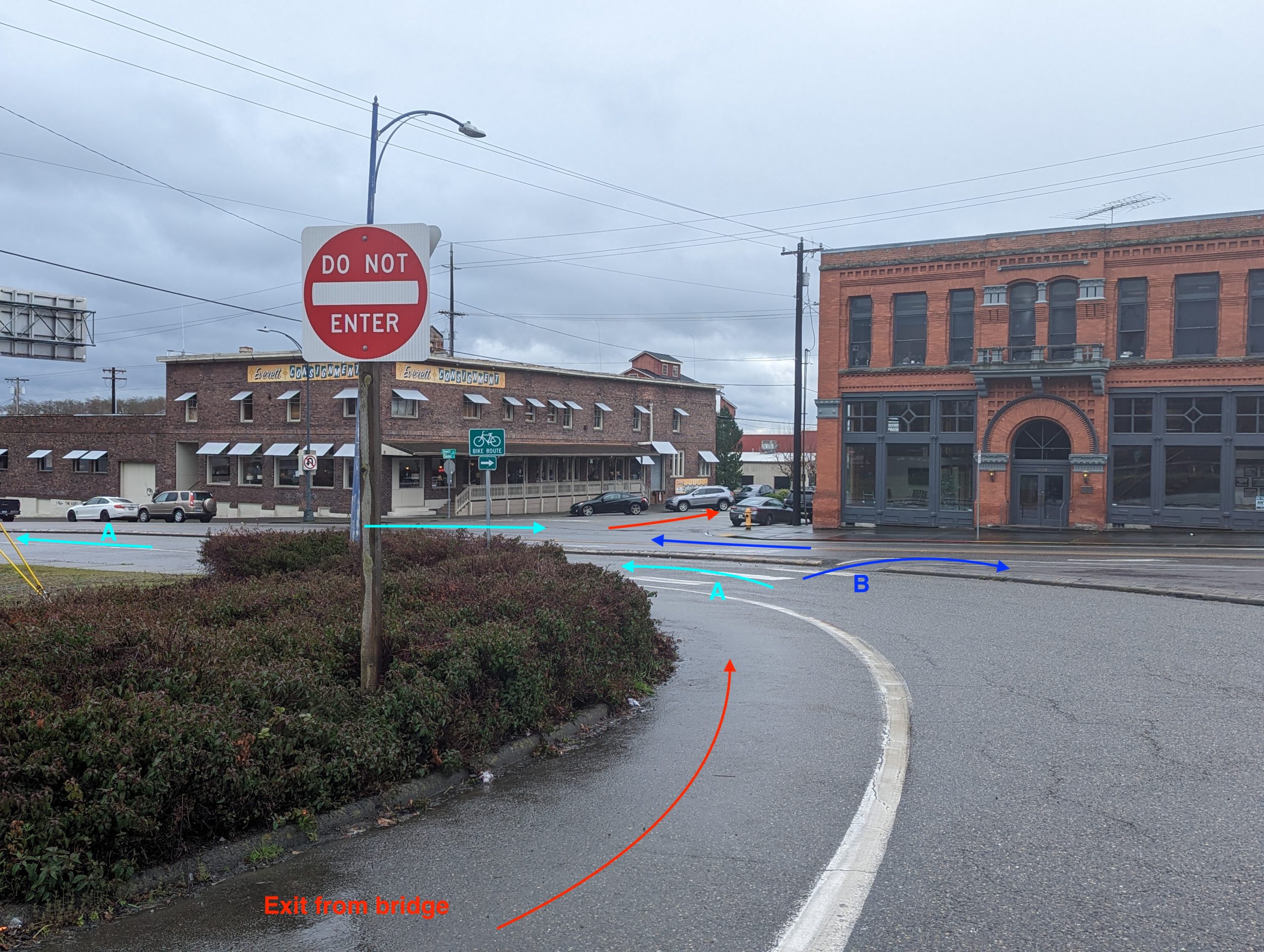
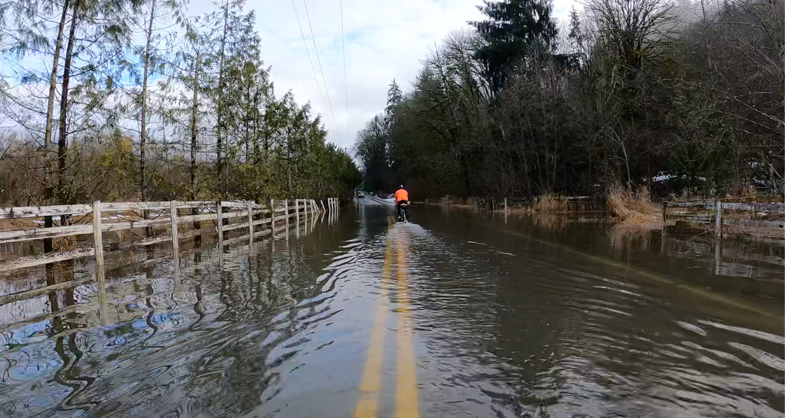
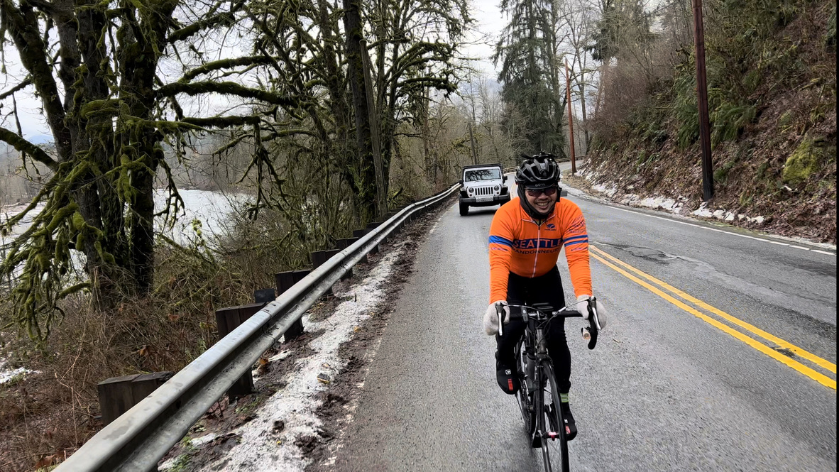
Start at U Village Starbucks in the University District; cross the Montlake Bridge and take the lane before a left-hander onto Lake Washington Boulevard (signage indicates the sidewalk after the bridge will be closed on 4/20). Enjoy the scenic Arboretum and then descend the Lakeview Park hairpins to Lake Washington; watch out for deteriorated pavement all along Lake Washington Blvd. Navigate a brief section of closed bike lane on Rainier Avenue before turning right up a short incline on 87th Ave S to avoid busy Renton intersections and connect to the Interurban Train.
Watch out for debris, bumps, railroad tracks, and several traffic crossings on the Interurban. After a brief jog through quaint Algona and Pacific, connect to the comparatively smooth Sumner Link Trail on the White River. A brief transition on the aptly named Traffic Avenue and Shaw Road leads to the Foothills Trail; enter the trail on your left just before the busy intersection of Shaw Road and East Pioneer Avenue.
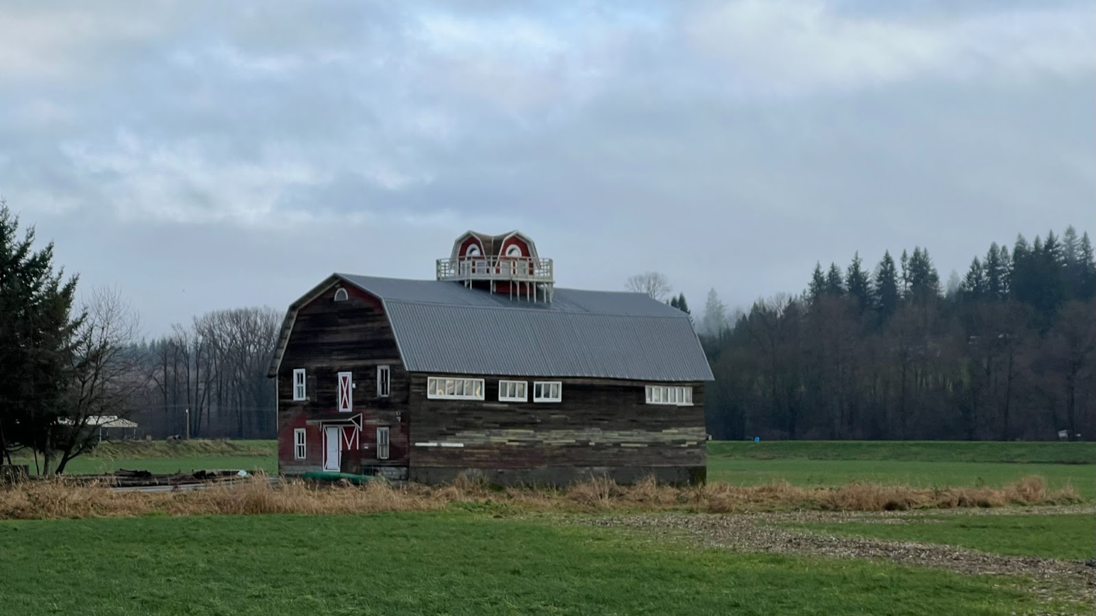
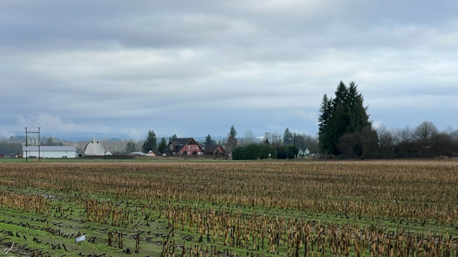
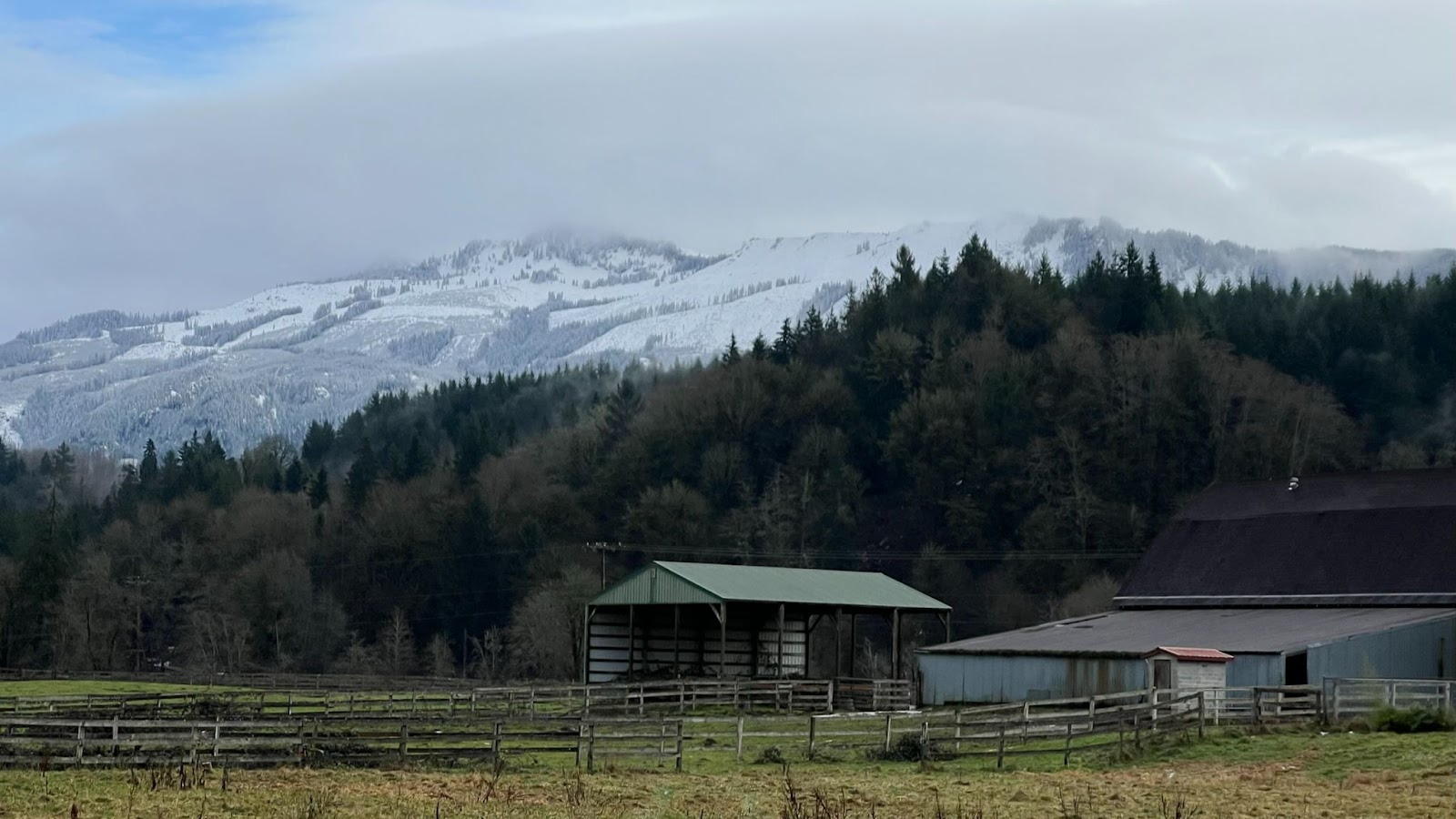
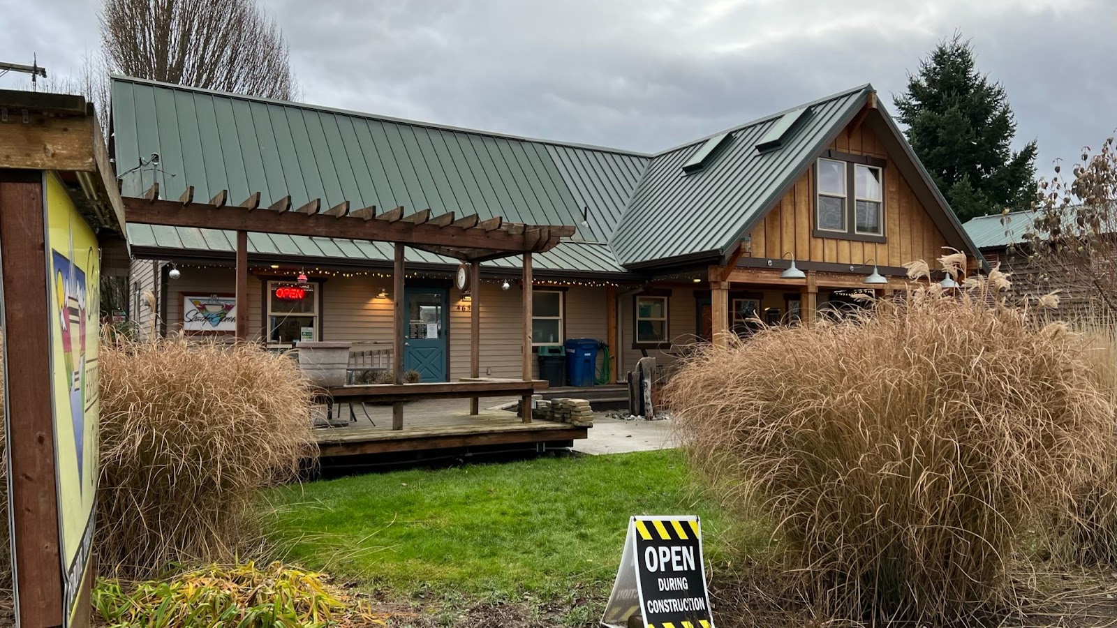
The well-maintained Foothills Trail leads to the town of Orting, services, and if you’re lucky an eyeful of Tahoma in all its glory. Elevation gain begins with the punchy A P Tubbs Road into Wilkeson, your last stop for (limited) services on this out and back section; very little was open in the morning but the Simple Goodness Soda Shop (open 11am-8pm) is a great option for a lunch stop on the way back.
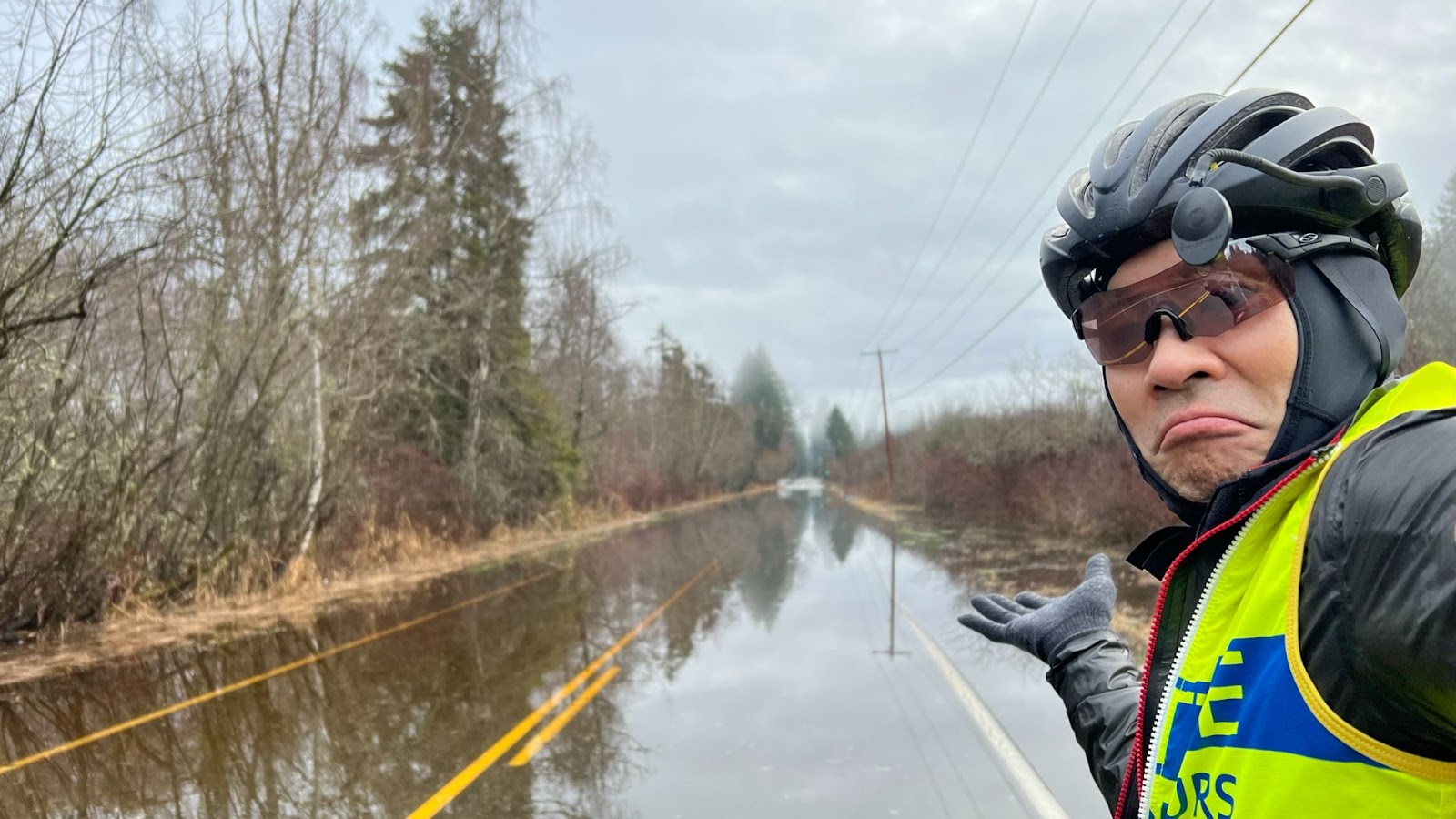
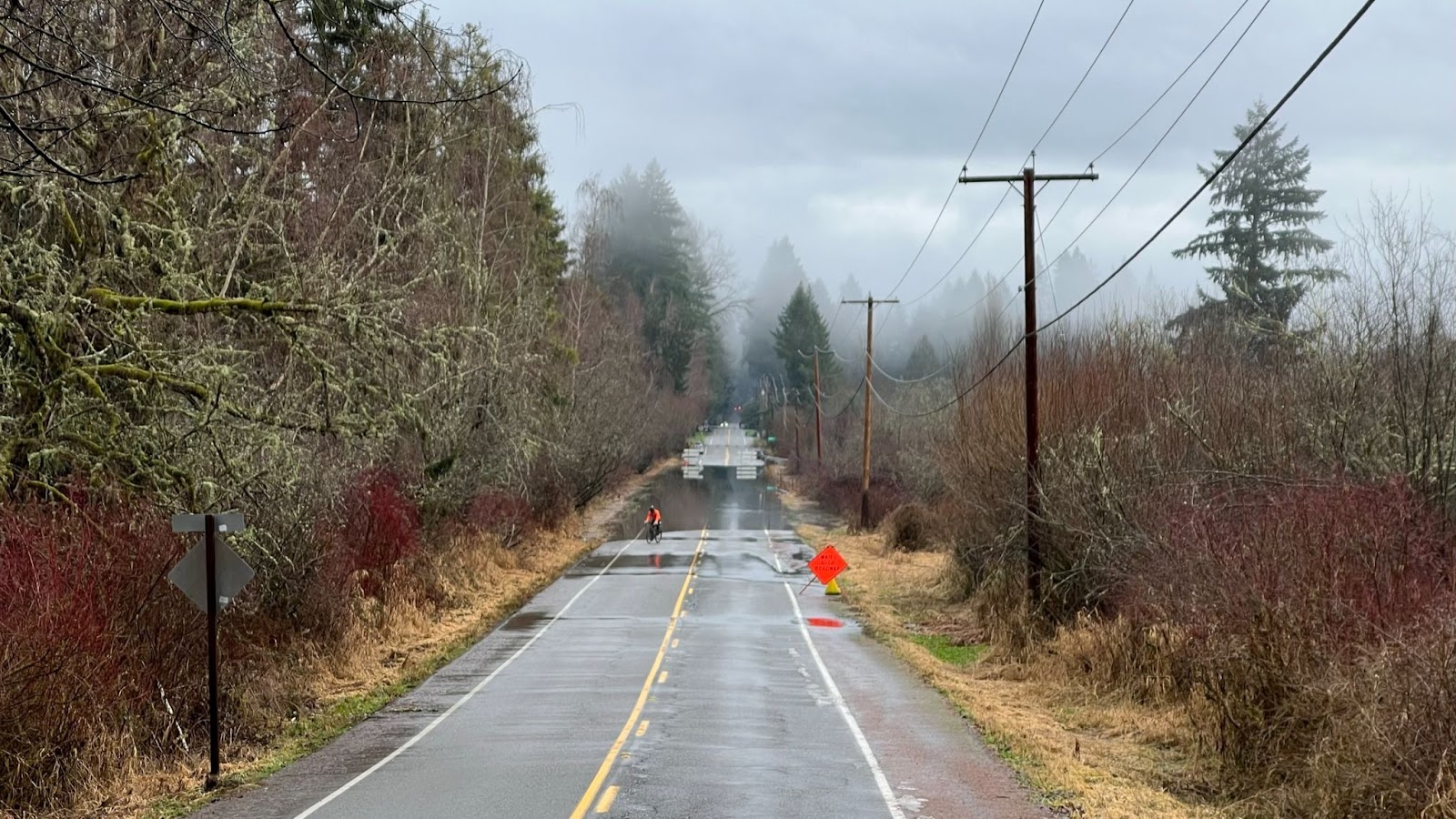
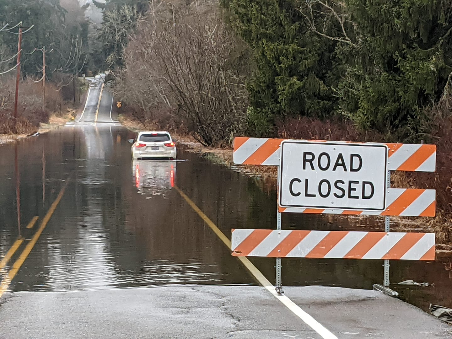
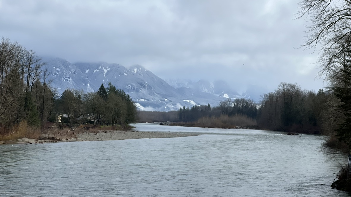
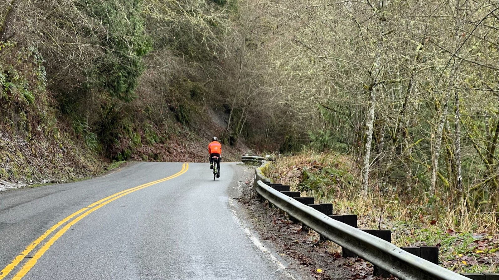
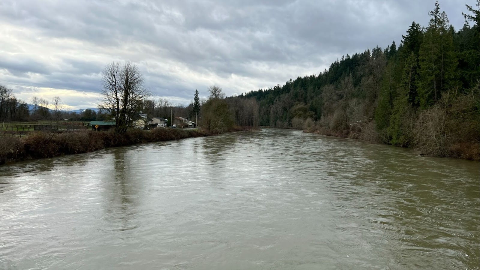
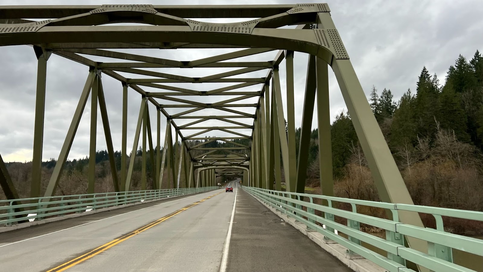
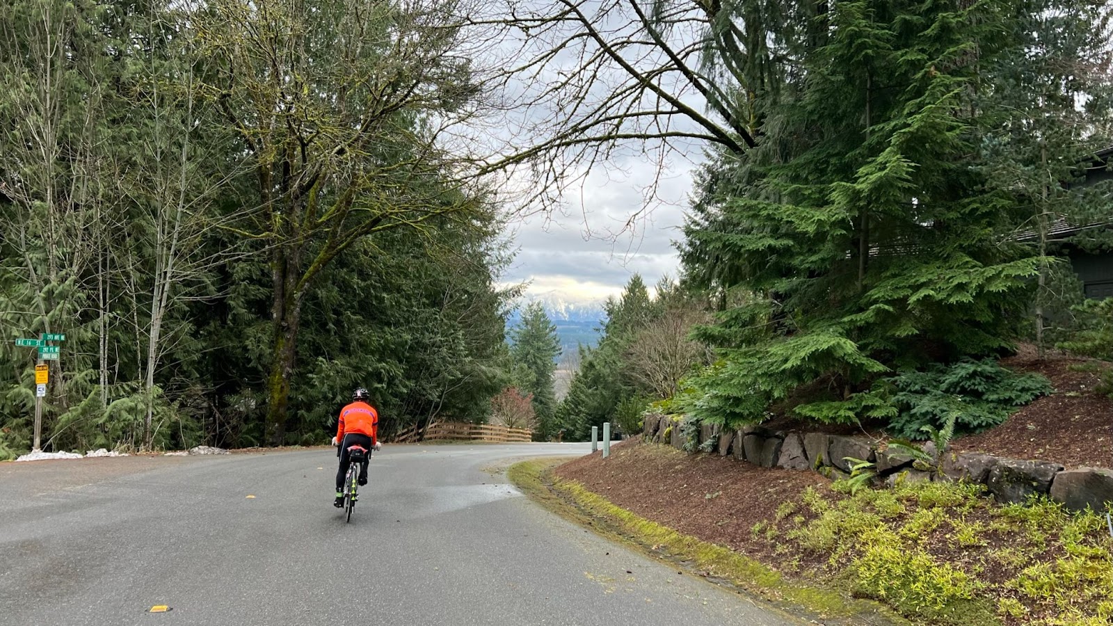
From here, enjoy a rolling, intensely scenic climb up the Carbon River canyon, some ~23 kms at about 2% grade with a max pitch of 8%. There’s a pit toilet at the Carbon River trailhead but no water. The descent is great fun, with smooth roads and no technical sections.
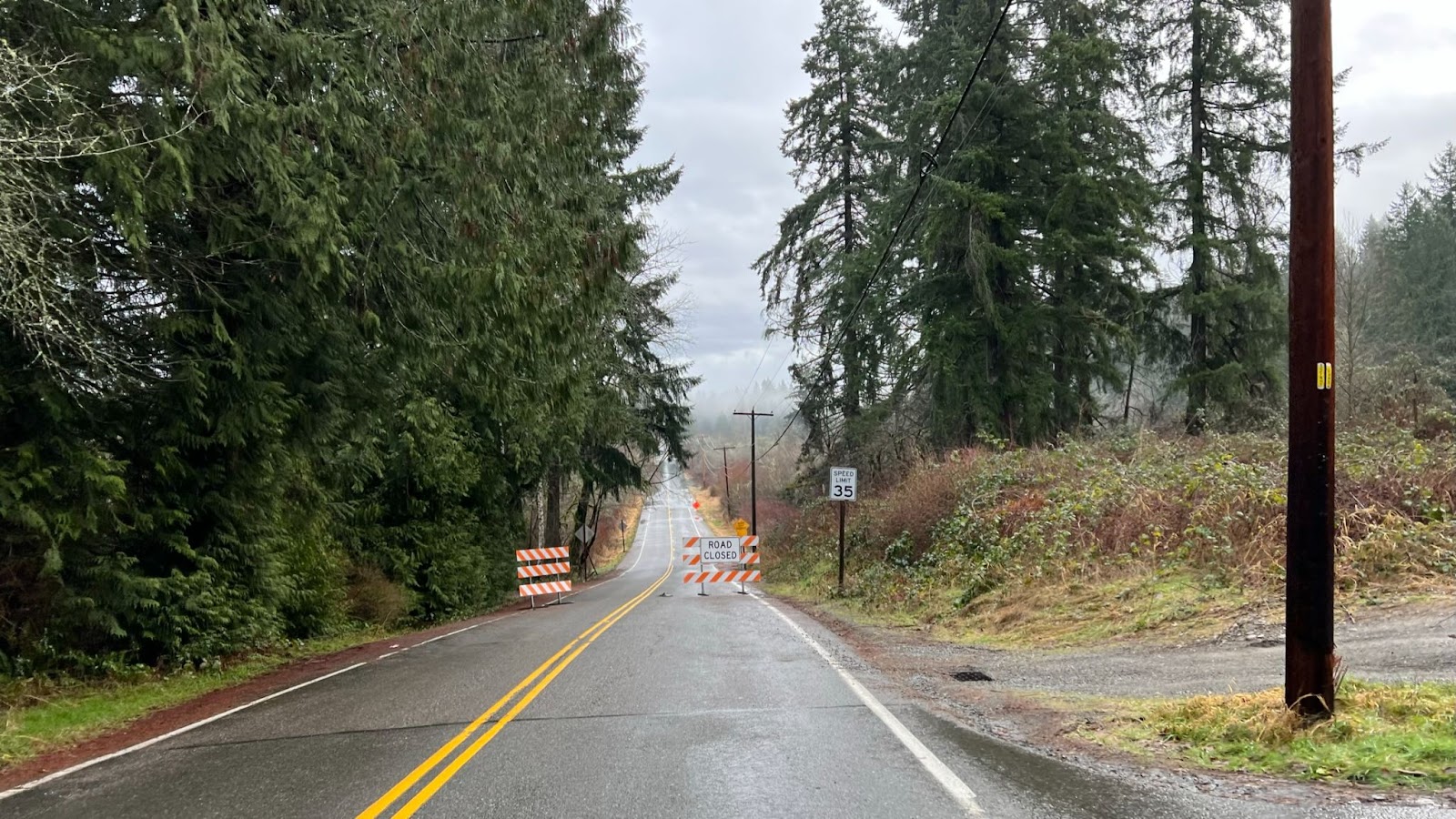
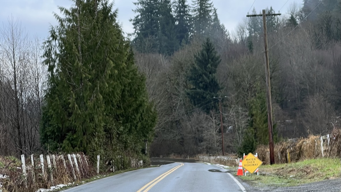
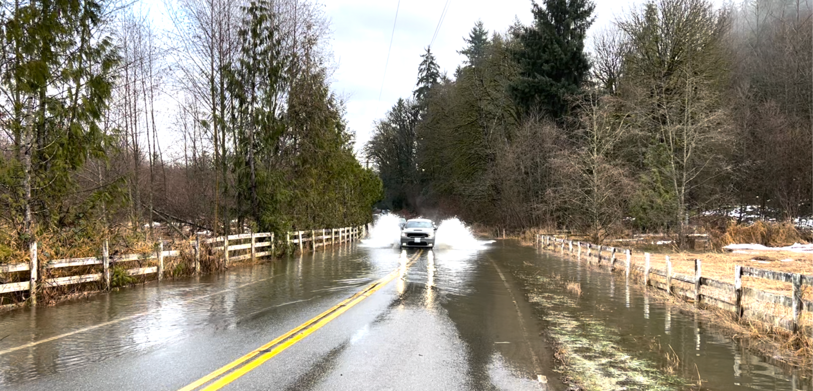
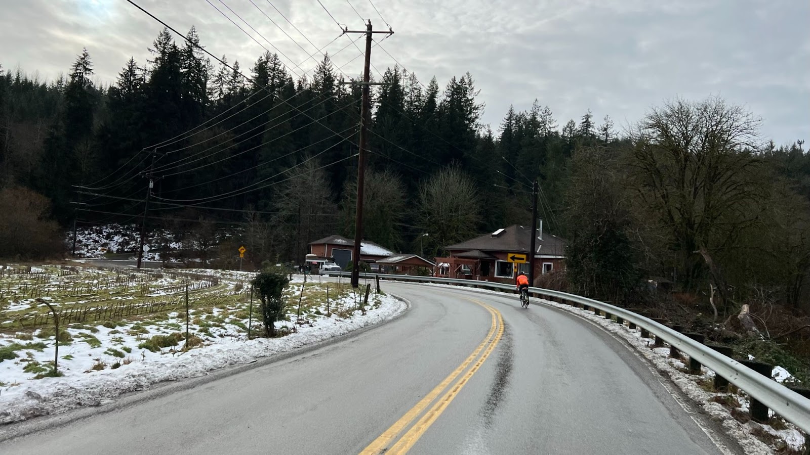
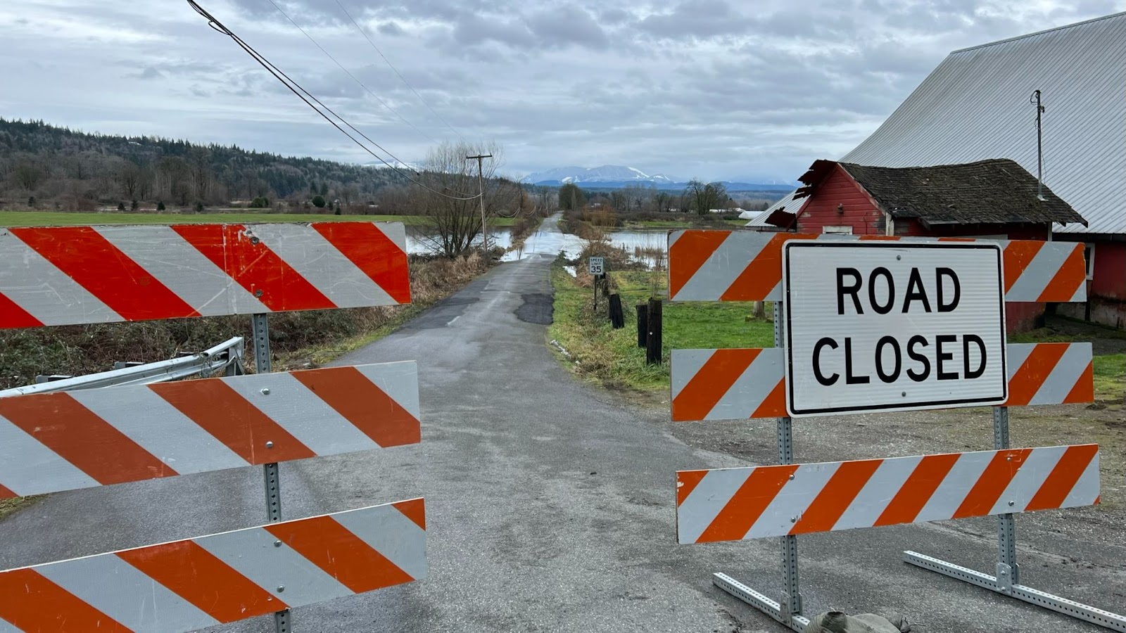
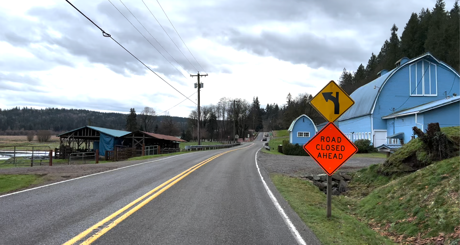
After Wilkeson, follow SR 165 right through Buckley (services) and then onto Mud Mtn Road, back along the White River. The out and back climb up Mud Mtn is the day’s steepest climb, 3.5 kms at 5.3% with a max grade of 11%. Navigate a one-lane section beneath a slide; the descent here is a bit more technical, with a hairpin and patches of gravel scattered on the roadway.
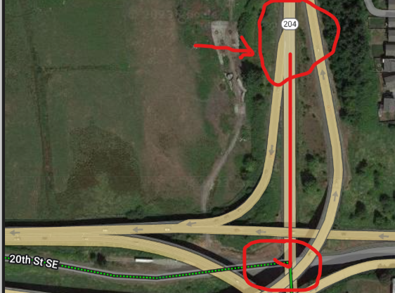
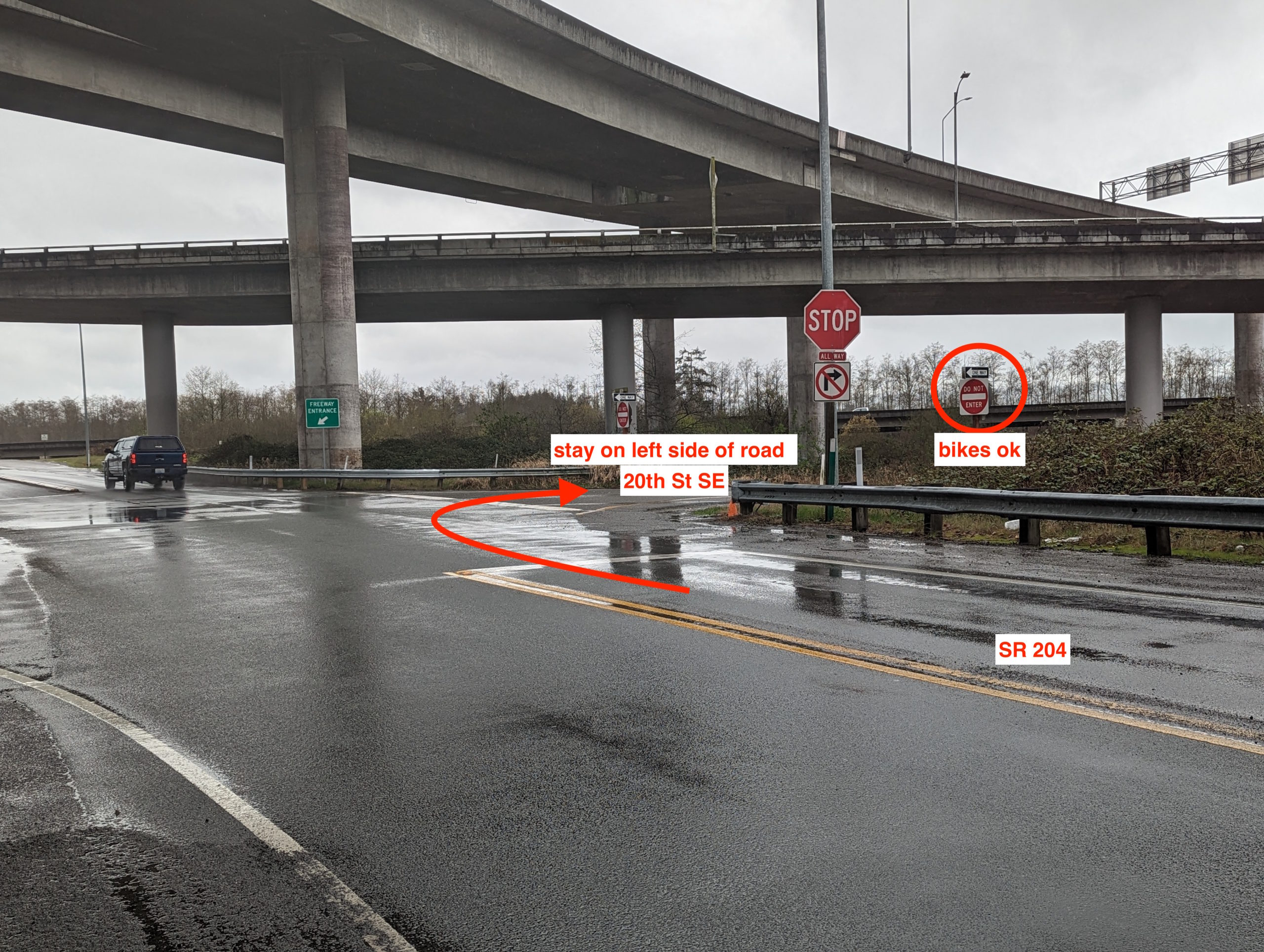
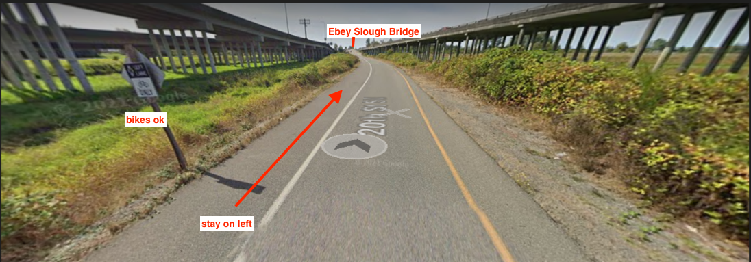
Following this diversion, it’s rural roads through Enumclaw into Ravensdale, most either with decent shoulder or long straightaways where traffic can easily pass. Services are available at the Ravensdale Market in Georgetown before a short climb on Landsburg Road SE; just after the bridge, be careful of the left-hand descending turn into the gravel parking lot of the Cedar River Trail trailhead. Enjoy the snap-crackle-pop of the light gravel trail and give strong consideration to a stop at Cascadia Pizza on your left immediately after crossing the Cedar River, just past the 200km mark. Continue the now-paved trail into Renton.
At the end of the Cedar River Trail in Renton, a detour directs you to cross the river on your right; follow posted signs to cross the one-way Houser Way North and take the sidewalk back to the Renton Historical Museum for an info control. Make your way through downtown Renton onto Lake Washington Boulevard North. From here, it’s a familiar two-lakes loop: you could do this in your sleep! Some of you probably have done this in your sleep!
Cross Lake WA Blvd left onto the Eastrail trail, and then back right onto Lake Washington Boulevard for the climb through Factoria to Newport Way into Issaquah. Hop onto the Lake Sammamish Trail and be wary of innumerable mid-trail posts, driveways, and nighttime trail users. Wind through Marymoor Park onto the Sammamish River Trail (late night restrooms available at Wilmot Gateway Park), connect to the Burke Gilman Trail in Kenmore, and before you know it you’ll be entering U Village again. Find your finish control at or near the Eureka! Restaurant (open until midnight) on the south side of the shopping complex. Congratulations, that’s another ride in the books!