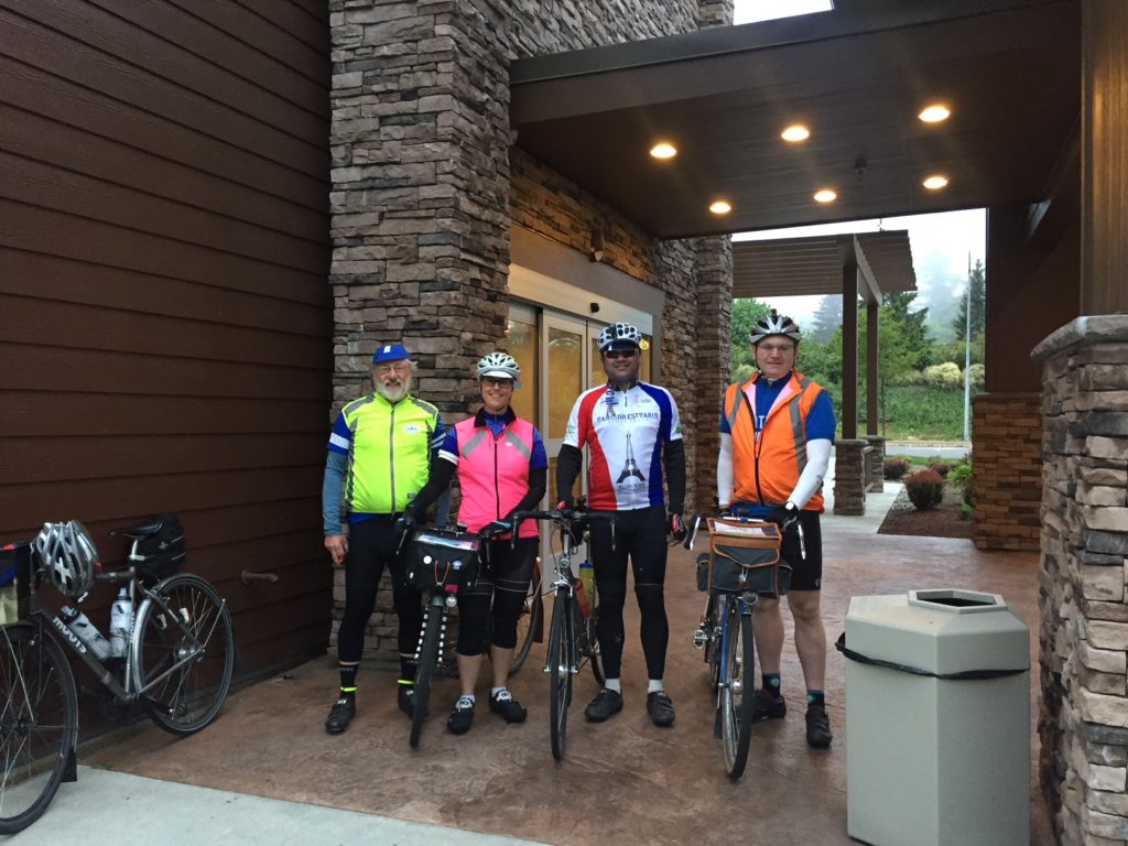
Photo credit: Mitch Ishihara
By Bill Gobie
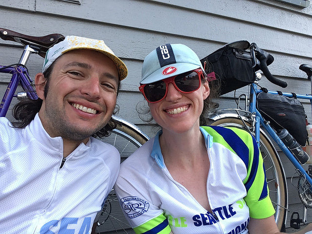
Pre-riders: Bill Gobie, Adam Glass, Mitch Ishihara
Support driver: Keith Moore
Important changes to the ride:
The start time is 0500.
The route has been shortened slightly and has less climbing: 306 km and 13,400 ft
Important highlights:
Expect hot conditions in the afternoon. Carry at least three water bottles and consume electrolytes. Staying hydrated is extremely important on this ride.
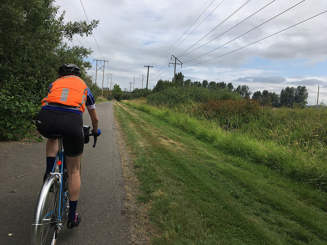
You must have night-riding equipment including: headlights and taillights; reflective clothing including ankle bands and a reflective vest or Sam Browne belt.
I strongly recommend running a tail light during the entire ride. From inside a car it is impossible to see into deep shade when the sun strikes a dirty windshield. During the day a blinking tail light is most effective. A tail light may alert a driver to your presence.
Mountain weather can be very cold at night. Bring some warm clothes and a windbreaker. This will be important on the final descent from Elk Pass when the hour is late and you are tired. Bring raingear to Packwood; odds are you won’t need it but if the weather changes you will be glad you can bring it on the ride. I have descended from Elk Pass in heavy fog which my speed turned into rain.
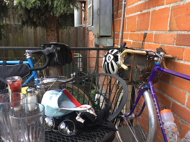
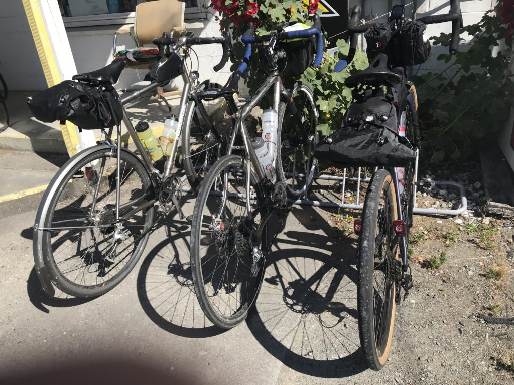
Total distance on gravel is 47 km. Some is quite good, much is moderately challenging. A few hundred yards may inspire walking, depending on your ability and temperament. The pre-riders used 25, 28, and 40 mm tires.
Cell phone coverage is very limited. You will be out of communication on most of the route.
The Ride with GPS file has been revised. Its link is unchanged. The revised route sheet will be available soon.
Introduction
Trust me to create a route I could not finish! Turning my disappointment to your gain, the route has been made slightly easier by removing the furnace-like climb that DNF’d two of the pre-riders, and by selecting an easier gravel road for a small portion of the route without losing much scenery.
Getting to the start
This ride is a bit unusual by having the start at the Johnson Creek Sno-Park 16 km from the base/finish in Packwood. Being an ACP-sanctioned 300 km brevet, the time allowed is 20 hours, with no extra time allowed for any distance over 300 km. On an easier course an additional 16 km would not be a problem for most riders. On this course, you may need every minute. Therefore the start is at an easy-to-find location outside Packwood that brings the timed distance down to 306 km.
The route to the start is not easy! Removing its 1500 feet of climbing from the timed route was an additional factor in selecting the start location.
It took me 45 minutes to ride to the start location from Packwood. I advise allowing 30-60 minutes riding at moderate effort. This means you should leave Packwood between 0400 and 0430.
After turning off US-12, the gravel begins immediately on Forest Road 21. After a few pedal strokes you start a 2-mile-long granny gear climb with grades reaching 10%. After that, the climbing moderates, albeit with a few challenging pitches. The surface is generally hard. There is significant washboarding, generally on the uphill side of the road. It was usually possible to find a smooth line. The gravel roads on the course proper are similar.
Reducing vehicle traffic
We strongly want to reduce vehicle traffic on the gravel roads. When cars pass, dust can hang in the air for a long time. Some roads are one lane wide. General public traffic we cannot control. So we prefer that you ride to the start. If you feel you must drive, please leave Packwood at least an hour before the start for the safety and comfort of those who are riding to the start. The area is lonely and we can make no guarantees for your car’s safety. And you will have to retrieve it after the ride.
If you have a helper returning your car to Packwood, we insist the car stays at the start location until one hour after the start for the safety of any late riders.
Likewise if your helper is driving the course, we require that the car leaves at least fifteen minutes before the ride starts, or waits until two hours after the start. If the car is meeting you at the road 2329 control or Takhlakh Lake, we also require that it waits 30 minutes after the last rider passes.
Temperatures should be moderate for most of the gravel section of the course. SIR staff at the road 2329 and Takhlakh Lake controls can transport busted bikes and their riders back to Packwood. There is little reason for personal support on the gravel section of the ride. We recommend personal support vehicles meet riders much later on the course in Carson by driving via Randle and road 25.
The Ride
The route starts by crossing Johnson Creek on road 21, and immediately makes a four-mile-long granny gear climb. Then the road descends and you can make up a little time. 50°F temperatures made for pleasant climbing, but were a bit chilly on the descents. Climbing and descending alternate, so you have to pick layers for chilly downhills or roasting climbs and stick with it.
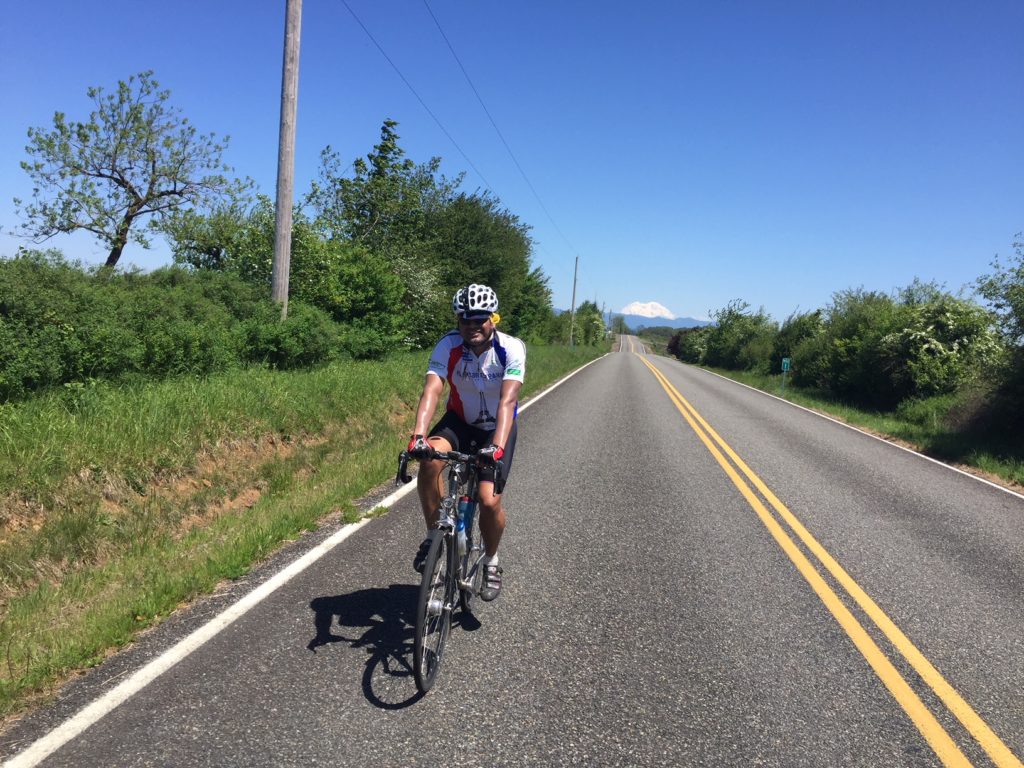
Mount Adams makes an early appearance above a straight segment of road 21. The volcano suddenly pops into sight at many other places on the route.

Photo credit: Mitch Ishihara and Bill Gobie
At the turn to road 2160 toward Walupt Lake, the surface switches to pavement. 2160 undulates along the valley floor, then climbs to the junction with road 56. The turn to road 56 is well signed. Gravel resumes. The pre-ride took road 56 only a short way to road 2329. The ride will stay on road 56. Road 56 is the preferred auto route, so it is anticipated to be in good condition, similar to road 21. (This variation was driven, but riding in a car is no substitute for assessing biking conditions.)
After about 11 km, the route turns onto road 5603 toward Orr Creek Sno-Park. After a flat trip across the valley floor, the road climbs steeply and becomes paved.
The turn to road 2329 is marked by a dilapidated sign. There will be an untimed SIR-staffed control here to help you find the turn and provide water. The control will remain open until an hour after a timed control would close. Road 2329 is gravel.
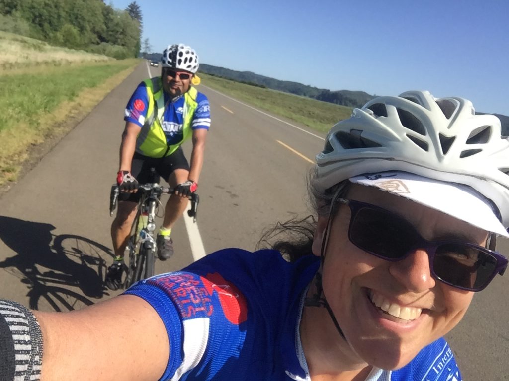
Road 2329 takes you through beautiful high country forest with the odd meadow here and there. The road was lined with fireweed and a few a Indian Paintbrush flowers. Mosquitoes are flourishing after the late, wet winter. They are not bothersome unless you stop. After Mitch hosed himself down with mosquito repellant, I found I was well protected if I stood in the plume emanating from him.

Photo credit: Bill Gobie
Larger wildlife exists in this area. A bear ran across road 2329 ahead of Adam and Mitch. Bears generally are afraid of humans and will run away if given a line of retreat. The significant exception is a mother bear protecting her cub. If you see a tiny bear stay the hell away from it, and do not cross the line it traveled until you know its mother’s location.
On road 2329 the morning sun cast dappled shadows that made it difficult to spot potholes and other hazards. Please ride conservatively. Stop when you take pictures.

Photo credit: Bill Gobie
The first summit, 4780 ft, occurs on road 2329 at Divide Camp. Sadly there are no views here, although there is a pretty meadow.

Photo credit: Bill Gobie
Immediately after the summit the road becomes hazardous enough to warrant a Danger instruction on the route sheet. The road plunges and becomes rocky and rutted. The road is rough all the way to Takhlakh Lake.
At Takhlakh Lake we will have a staffed control in the Day Use area, immediately on the left as you enter the campground. The control is untimed. It will remain open until 90 minutes after a timed control would close. There is a pit toilet here. Be sure to wander the few steps to the lake for the incredible view of Mt Adams, pictured below and at the top of this post.

Photo credit: Bill Gobie
After leaving the campground, the road is paved for a short distance until the junction with road 23. There is an enormous pothole at the junction, warranting another Danger instruction.
After a kilometer you reach Babyshoe Pass, marked by a small sign on the left adorned with baby shoes.
Most of the next six kilometers of gravel is a descent. Control your speed and ride safely.
At 53.1 km it is important to make the turn to stay on road 23 toward Trout Lake. This turn comes on a downhill and it could be easy to miss because the road going straight appears to be the mainline.
57.5 km marks the end of gravel for the route (except for a stretch too short to bother noting on the route sheet). After a short descent followed by a short climb, the road makes a 20 km alpine descent to Trout Lake. At times I reached 40 mph. Just before 59 km there is sharp right curve with a rut across the exit of the turn, noted with a Danger warning on the route sheet.
At roughly km 70 you will have a staggering view of Mt Adams. After merging onto Mt Adams Rd at the bottom of the descent, start looking back over your left shoulder. You will eventually be rewarded with another splendid view of Mt Adams.
In Trout Lake you can get a great meal, or just a milkshake, at the Bear Creek Cafe, regrettably staffed with inefficient teenagers. A quicker option is Trout Lake Grocery with pre-made sandwiches, a block off-route to the right on WA-141.
Conditions after Trout Lake will likely be hot and dry: have plenty of water on board for the run to Carson.
From Trout Lake you go south on WA-141 all the way to the Columbia River. This is a splendid downhill run; we averaged nearly 20 mph against a hot headwind. Mt Hood makes several appearances. En route at BZ Corner you will pass a Shell convenience store where you can pick up some more water. At the Columbia River there is a food truck or small restaurant where you should be able to replenish.
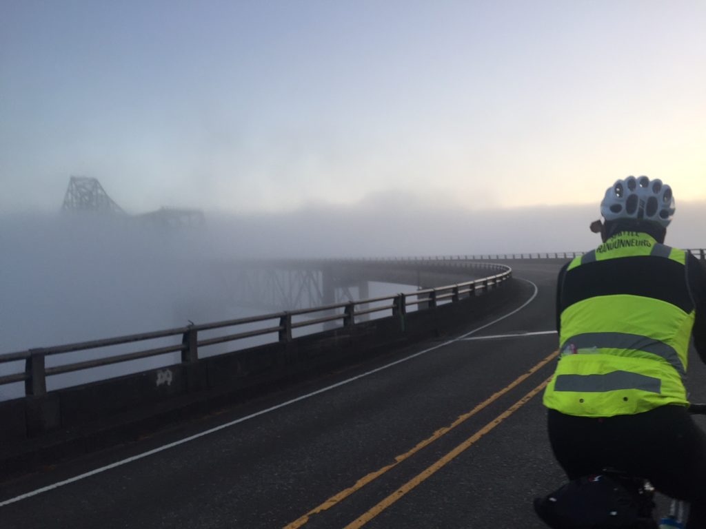
At the Columbia River the route goes west on WA-14. Traffic is heavy and shoulders are sometimes minimal. Please ride single file and be aware of approaching traffic. There will probably be a headwind.
The route originally went up Cook-Underhill Rd, renamed on the pre-ride Cooking Undertaker. This forbidding furnace-like climb did in one of the pre-riders and materially contributed to the second abandon. The conditions drove the reluctant decision reroute onto highway 14, despite its heavy traffic.
On WA-14 we encountered a headwind all the way to Carson. While not strong, the wind was hot despite the proximity of the Columbia River. Traffic was heavy but surprisingly courteous.
Climbing into Carson you pass Carson Hot Springs Resort with its waterfall water feature tempting you drown yourself then and there. Carson is an open control. The Texaco convenience store is air-conditioned and has seating inside. There are several restaurant options for those with the time and stomach for a meal.
Cooked by the undertaker, I abandoned at Carson. Despite making a point of drinking copiously and taking electrolytes during the ride, two days later I am still dehydrated. I could tell I had little hope of riding the remaining climbing fast enough to finish in time. I was disappointed to miss the screaming descent from Elk Pass. I figured Mitch had a chance of making the finish if he did not wait for me. I wanted someone to finish to prove it could be done! After some consideration, Mitch accepted the challenge.

Photo credit: Bill Gobie
What followed was epic. After being cooked in 90ºF+ temps, Mitch rode the remaining 155 km with some 6000 ft of climbing in just over eight hours, finishing with eight minutes to spare.
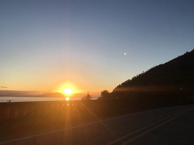
From Carson, the route goes north on the Wind River Highway. Although temperatures moderated as the road climbed, the air was humid. After cresting Oldman Pass, don’t enjoy the descent too much, because you must watch for the left turn onto Curly Creek Rd. In a few more kilometers the route passes McClellan Overlook where we had a superb view of Mt St Helens silhouetted against the post-sunset sky.
At Northwoods, the Eagle Cliffs store was just closing when we arrived. The posted closing time is 8 pm, but Saturdays are busy so the owner keeps the store open until business drops off. If the store is closed when you arrive, riders have permission to get water from the spigot on the front of the laundromat/restroom building to the right of the store. Changing the start time to 0500 should help riders reach Northwoods while the store is open.
From Northwoods the route turns right onto road 25 toward Randle. Climb, climb, climb and you will reach the untimed SIR staffed support point before Elk Pass. In daylight you get a view of Mt St Helens. Our view of the Milky Way overhead was incredible while we waited for Mitch. The air was chilly; be prepared for cold conditions on the alpine descent from Elk Pass.

Photo credit: Bill Gobie
Between Carson and Elk Pass there are several campgrounds where we verified you can get water. These are noted on the route sheet.
From the support stop it is a few miles to the actual Elk Pass. After the pass the road immediately deteriorates, with sunken areas where the hillside is sloughing. The 35-kilometer descent has numerous sharp curves. Please ride with extreme caution, especially after dark.
After the fabulous descent, Mitch suddenly turned off on a tiny, rough dirt road. Mitch’s thoughts: “As I headed down, I thought this road was complete rubbish while pondering what Adam would say.” Fortunately we were in sight of him in Keith’s truck. We chased, and Mitch heeded Keith’s repeated honking and stopped. He was following the route! After some frantic map work we determined the route was in error and pointed Mitch back to road 25. This is why we pre-ride!
At Randle the route turns for Packwood on US-12. Late at night traffic is light and the road has easy grades. The shoulders are wide and clean. For most riders this should be a pleasant finish. Mitch had to keep the throttle open. Despite the climbing, heat, prudent descent from Elk Pass, and off-route misadventure, he finished within time in Packwood. That was an amazing ride to witness!

Photo credit: Bill Gobie
Communication
Cell phone service is sparse and highly dependant on provider. Verizon service was available at Trout Lake, Carson, and Packwood. AT&T coverage was very poor. In Trout Lake the cafe and grocery store have wifi.
Delorme InReach coverage and sat sms communication was predictably consistent on a 10-minute update interval.
SPOT tracking was surprisingly good. There was a notable dead zone south of Trout Lake on WA-141.


 Day 1 will follow similar passes as in Cascade 1200 course (though reversed) over Rainy, Washington and Loup Loup Passes and head north to overnight in Osoyoos, BC. After the Day 2 mountainous day on the Crowsnest, Day 3 will be much less climbing through broader valleys of Kootenay River and Fisher River and one mountain pass over the Salish Range (Happy’s Inn Summit).
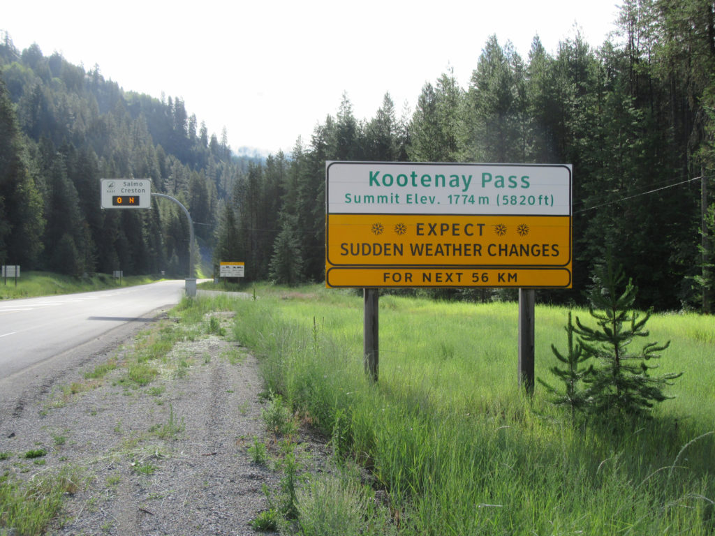

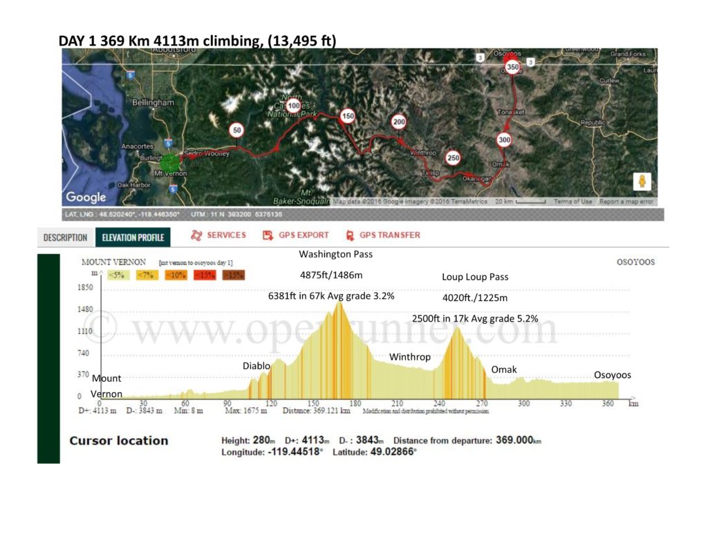 Day 1 is 369 km with 13,500 feet, and starts over the North Cascades of Washington (Rainy Pass 4875ft/1486m and Washington Pass 5477ft./1669 m) and also over the Okanogan Range (Loup Loup Pass 4020ft./1225m ) on Highway 20. After following along the Okanogan River/ Osoyoos Lake and crossing the border into British Columbia, Canada the route will overnight in Osoyoos, BC.
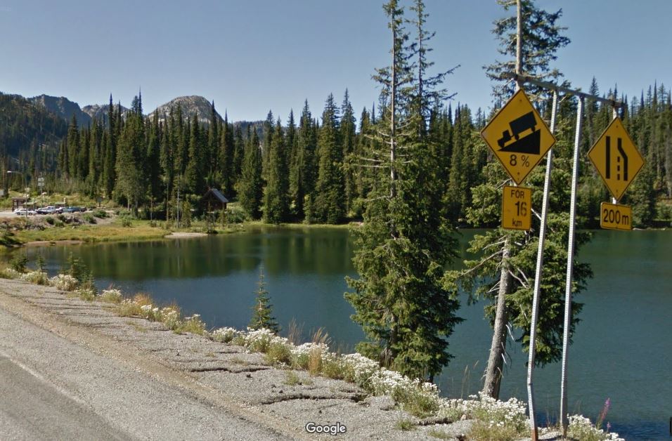
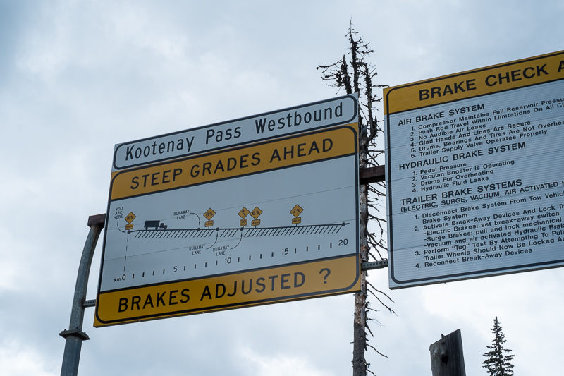
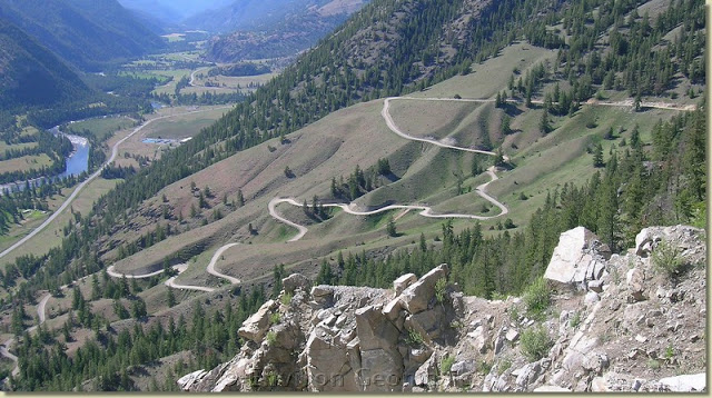
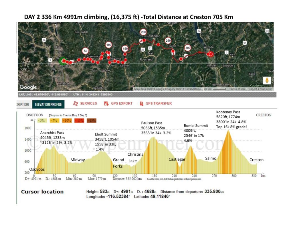 Day 2 is 336 km with 16,375 ft of climbing. From Osoyoos, the route will head east on Crowsnest BC-Hwy 3, and climb over Okanogan Highlands (Anarchist Pass [4045ft, 1233m], Eholt Summit [3458ft, 1054m] and Paulson Pass [5036ft,1535m]), The Monashees Range (Bombi Summit 4009ft/1221m) and The Selkirk Range (Kootenay Pass 5823 ft/ 1775m) before the overnight in Creston, BC. Kootenay Pass climbs 3800 ft in 24km, with grades at 8% in the top 16km!
 Day 3 will be much tamer with 5600 ft of climbing in 300k. After Creston, the route will go south back over into Idaho. The Porthill, Idaho Border crossing is open only from 7am to 11pm, but the unofficial pace time at the border is at 8:25am, so this should not be a problem for crossing the border. The border is also only 14k from Creston, which will allow enough time to get some sleep and breakfast to stay on pace. The route will follow along the Kootenay River to Libby, MT and then pass through the Salish Range, following up Libby Creek and Fisher River valleys (McKillop forest road), summiting at Happy’s Inn. Then descend into the Flathead basin into Kalispell, where there are some new bike trails to avoid the main highways, then head north to finish in Whitefish.