by John Pearch
There’s still time to register for this late addition to the SIR 2016 brevet calendar and get in another 300K:
http://brevets.seattlerando.org/register_for_event/381
Anyone planning to ride the 300K this weekend should know that we will have printed copies of the cue sheet on hand at the start. The cue sheet is also online for those of you who like to make edits and adjust formatting.
Here is a link to the RWGPS file/map: https://ridewithgps.com/routes/16388027
Registration opens at 6:00 am and the ride starts at 6:30 AM at the Fish Tale Brew Pub Parking Lot.
Fish Tale Brew Pub
515 Jefferson St SE
Olympia, WA 98501
Parking is free on weekends on the streets in Olympia. However, do not try and park in the Fish Tale parking lot or any others marked.
If you need to use the restroom, there is a McDonalds on Plum and 8th, just a few blocks from the start.
Preride Notes:
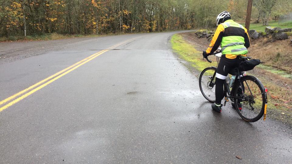
Josh and I prerode this past Sunday with dry weather the first 100k, then the final 200k (12 hours) of constant rain. The forecast looks like rain this Saturday so byobuddyflaps:) Take note of all the CAUTION on the cue sheets as railroads crossings will be slick and highway crossings visibility might be limited.
There are 7 Info Controls to explore backroads of rural Thurston and PierceCounties, in the first 126k. We will depart the Fish Tale brew pub taking Olympia’s NE neighborhood to the the Chehalis Western Trail (CWT). Then taking the CWT south to the Yelm Tenino Trail (YTT). We will follow the YTT passing through Yelm to the far reaches of the YTT, then cross over the Nisqually River into Pierce County with back roads of the Lacamas Valley and hillier Harts Lake area, then back into Thurston County backroads of Bald Hills, Lake Lawrence, Vail Cutoff and the Deschutes River. If you did the 200k last March, just keep an eye on the course change, as the course will take Runyon Rd (easy to miss off of Vail Cutoff) to access the back way into the town of Rainer!
After the Rainier Control, you will then get back on the YTT temporarily to access Johnson Creek Road and eventually the Skookumchuck Valley (info control at the fish hatchery)! Then follow the Skookumchuck Valley back to Tenino. From Tenino you will go north on backroads to Scott Lake Chevron Station control. Then the route goes south to Littlerock and Mima-Gate Rd and access the back way into Anderson Rd/ End of Trail Station control. We decided to ride the 0.3 km section of gravel to avoid the U.S. Hwy 12. From End of Trail control, the route temporarily goes west on U.S 12 (crossing the narrow Black River Bridge) then on Elma Gate and flat S. Bank Road to Elma control. Elma is an Open Control, even though we encourage to find the stores on the far east side of town. From Elma you will climb gently up Cloquallum Road for 26k. After Cloquallum Road jct with Highland Rd, Cloquallum Rd has a few spurts of up to 16%. Cloqualluam Road steeply descends into Isabella Lake and then rolls into the Arcadia neighborhood of Shelton.
From Shelton the route follows Hwy 3 (with a narrown bridge) to US 101, which has a small 2k section of Old Olympic Hwy to temporarily get off 101. There are a few rollers along 101 until the route takes takes Steamboat and Madrona Beach to Mud Bay. Alas, the infamous Mud Bay final climb and descent into downtown Olympia! We’ll have some Fish Tale Beer regardless if you don’t make it before the Fish Tail Brewpub closes.
See you Saturday!
Cheers!
John