by Noel Howes

Bainbridge ferry arrival
“Ferry – Beach – Ferry” (Accent on second syllable in Ferry – Rhymes with Paree)
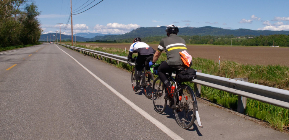
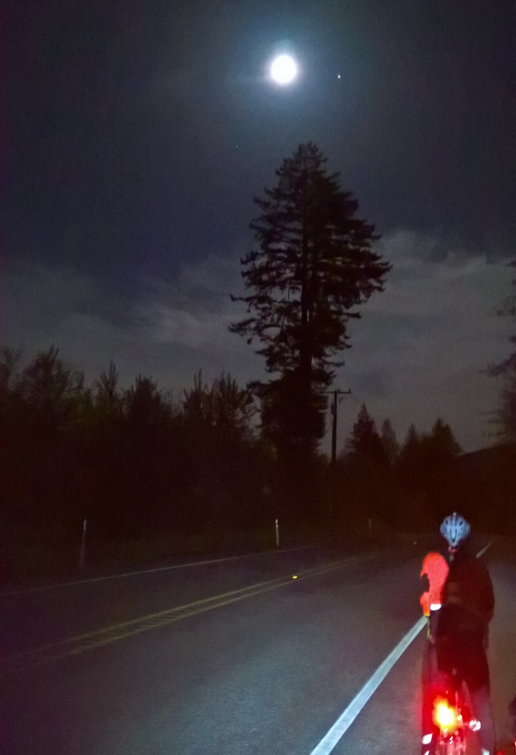
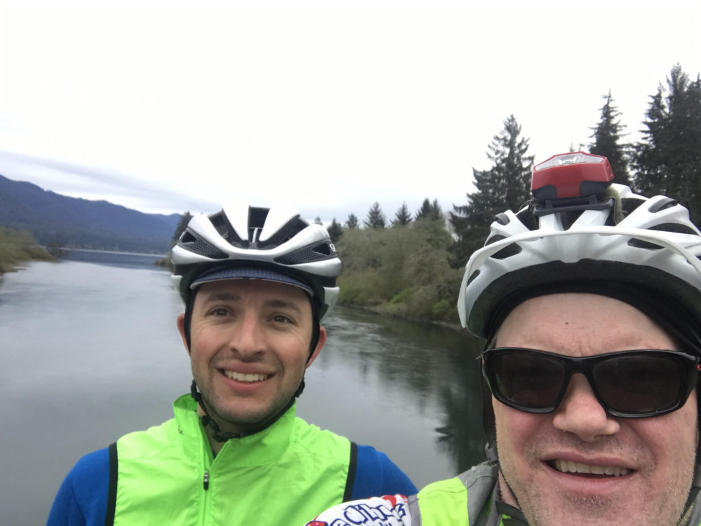
Jeff Loomis and I met on the glorious Saturday AM last for the 6:10 ferry to Bainbridge to set off on our adventure.
We moved the start to the Blackbird Bakery so you will ride to the light and turn left on main street – Winslow Way. Folks driving to start from Olympia or west of water can have coffee and treat before ride (they open at 6:30 and were not busy). A vehicle parked there will take your drop bag.
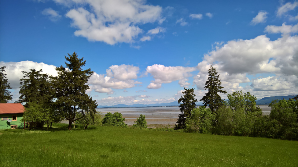
We set out on the back road and only reach 305 close to the Agate Pass Bridge – this left turn has traffic but hopefully less on Sunday [the ride starts on Saturday] AM. We made our way up to Poulsbo to the usual entrance to Big Valley road though it is marked with signs on Little Valley – “No through” etc. There is a poorly viewable crossing and cars do go fast over the hill coming from your left but we were cautious and got through. Big Valley is pretty, avoids the Port Gamble Road with its traffic, and small shoulder.
Cross the Hood Canal Bridge and take the left turn to Shine then down the Toandos Peninsula to the Community Center in Coyle (there will be water for you) – in the daylight! This is the beginnings of Tour de Industrial Forest but low traffic and some hills.

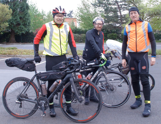
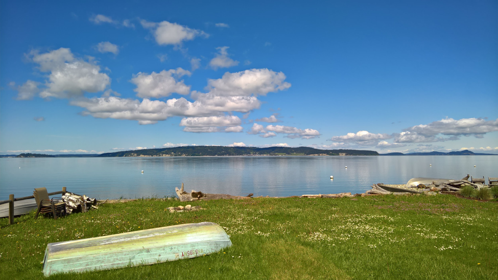
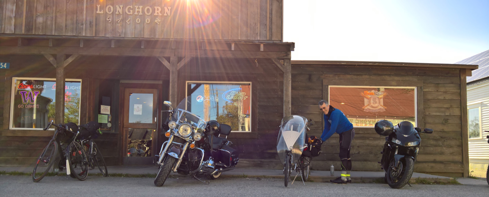
Jeff in Quilcene
Back out to Quilcene where we stopped for Milkshakes. This is at the 101 Brewery. There is also Olympic Grocery and another Grill and a coffee stand.
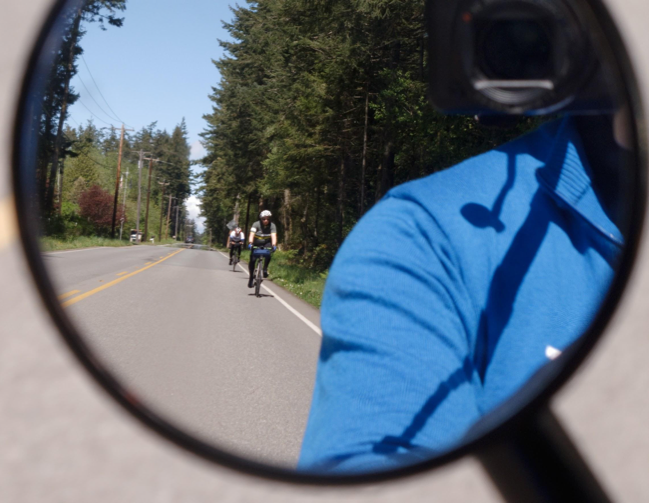
There will be an uneventful ride down 101 with services, except for hair-raising encounters with amateurs pulling enormous boats. The shoulder can be narrow at times but I wear a mirror for just this reason and blinkys on (helmet?) would be safer.
Turn at the usual route to get to Matlock store [which closes at 19:00. We will have…]that will have SIR support after it closes small food items and fluids. Out then into the Wynoochie wilderness with the requisite gravel and inclines to Humptulips and on to “Steve’s Hideaway” near Ocean City. This is a very long stretch with no services, water or food – real adventure for some.
Mr. DeGroot was wonderful to us with food, water, etc. He has a trailer and a small bunkhouse. It is off the road in a gated area and Steve asks that you just lift you tires over the tire destroying teeth at the gate. One could take a catnap there and use a bathroom. Drop bags will be further, in Elma.
From here we went back to Hoquiam on some roads that avoid the past curves and traffic of the main highway. The main difficulty is getting over the Hoquiam East to West, this involves jumping on the sidewalk going against traffic then crossing at a marked crosswalk to sidewalk on other side until you can get back on a quieter road. We found parts of a trail leading to here but because we were running late and it was just getting light, there was little traffic, so we are routing you on the main road. From here it is smooth sailing to Elma via Blue Slough and Monte Elma road.
We slept very little because of my delays (more on this later) but you will have Andy Speier and his competent crew to welcome you with your drop bag. You will have less than 200 km to go!
Going through Shelton you will discover, if you do not already know, the reason for the road name North Cliff. There is a sidewalk to the left if you are not too stubborn and want to stay out of traffic.
From Elma our first food stop was Subway in Belfair, much needed (there was food at our hour in Shelton). You then take the truly ugly two lane highway shoulder for a bit towards Tahuya which eases as it turns into North Shore road.

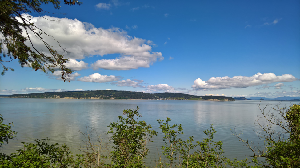
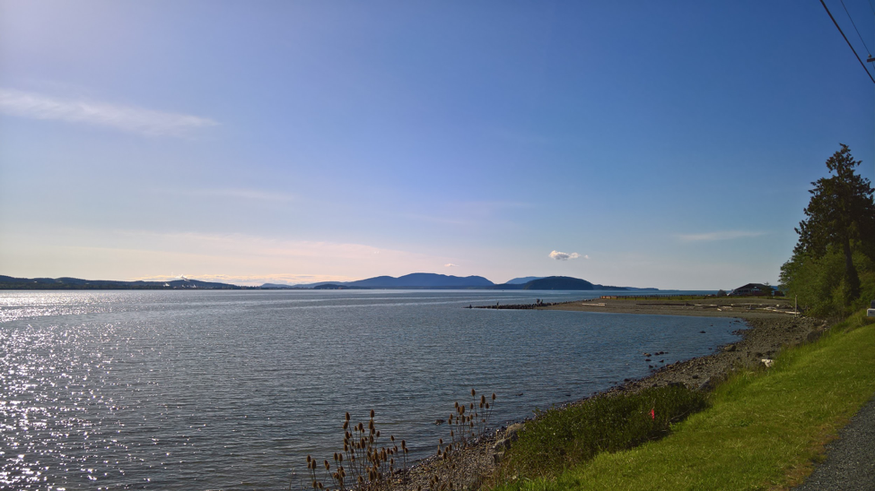
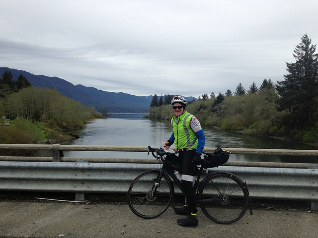
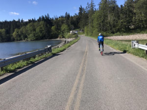
Olympic Mountains from Tahuya
Next come the walls of Tahuya. Please consider purchasing my forthcoming E book “ A Walkers Guide to the Tahuya – Seabeck Alps”. In summary, it is possible to walk the first hill, preliminary elevation of Holly and Anderson Hill and still finish the ride in time.
Press on to Seabeck Pizza or if you arrive before 8 PM you can go to the General store there as Jeff did. I actually arrived around 7:30 PM and had a slice of pizza made for me. The serveuse suggested one might call ahead to order but be aware they close at 8:30 and oven closes at 8. Ice Cream and pop available 8-8:30. (360) 830-4839
You will descend Trigger Ave under Highway 3 and turn left on the Clear Creek trail– do not get off on lesser trails but continue on the main trial to an unmarked blacktop then up to the trail sign. You will see Silverdale road and head to that. I had not realized that Silverdale Road is the massif that it is but it will take you up and over on painted bike lane to your turn at Lundvig and Poulsbo.
We will have the finish at the Bainbridge Best Western and the next ferry after control closing is midnight.
I did start a list for myself of new items not to break in a 600 km including shoes and lubed but unchecked drivetrain. Jeff commented, kindly, that I have always been willing to try and learn new things. Needless to say, Hot Foot, bending derailleurs and lack of support except at Steve’s, cut my time and ability to climb severely.
I am told that parts of this ride are too hard. I did finish despite my stupidity, walking and searching for at least one new control and detailing others. I did meet my goal, though, of climbing an equivalent altitude to my next 1200 km ride goal for August. I had a great weekend with my riding partner and stole any possibility of nice weather you might have.
Additional details and pre-registration on the SIR website, here.

Coming home from ferry through Fremont.