by Kevin Smith

On paper, the climbing elevation to total distance indicates this ride is ‘a bit less challenging’ than previous SIR brevets this year. Don’t let that fool you, because the route orientation means you are bound to face either north or south winds for a long time. Make friends, ride together, share the effort.
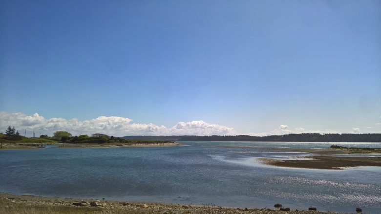
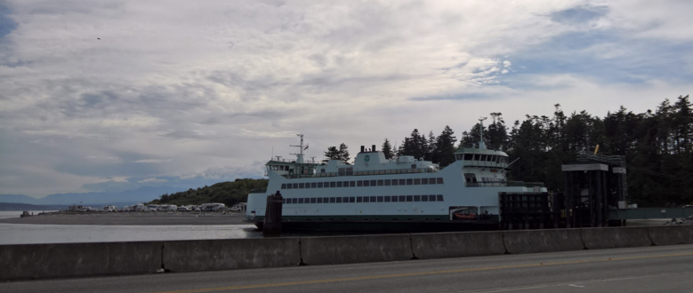
The ride begins with a lovely roll from Tumwater out to Rainier, Wash. At one point, you’ll go through what I assume is an old artillery or training range as evidenced by the large white signs saying Don’t Enter, Don’t Dig, etc. You won’t really want to stroll off the road anyway, since its so nice and quiet, but I envision a scarred landscape at some point in the past, where troops were training for war. It looked how I’d expect the Forest of Arenberg might look when young troops, tanks commanders, and artillery teams were getting ready for their most heroic effort. Now you are facing your own kind of heroic effort.
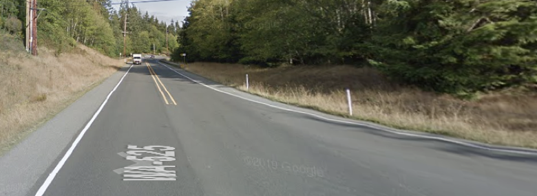
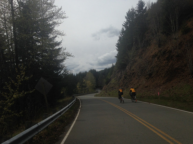
There will be some road items to pay attention between Rainier and Spanaway. First, multiple railroad crossings at horrible angles. Take your time, slow down–stop even–find large breaks in traffic, and make sure you use the whole road to cross these tracks at 90 degrees. Don’t end your fun early by catching a wheel in these things. Second: Highway 507. It’s been a few years since I was on 507. I recall rather crappy road conditions, grit and gravel on the shoulder, and trucks zooming past, too close, at 70 mph. Well, the road surface got upgraded with fresh pavement and wider shoulders—that’s a plus because you’ll want the space from the drivers. Beware grooves in the pavement where they installed recessed road reflectors. They looked like ugly front wheel traps. Word of warning for folks riding through in a group: Leader, pick a line clear of these grooves; Followers, don’t stray from the wheel ahead, else you might wander into one of the grooves and, next thing you know, you’ll be performing an up-close inspection of that nice new pavement.
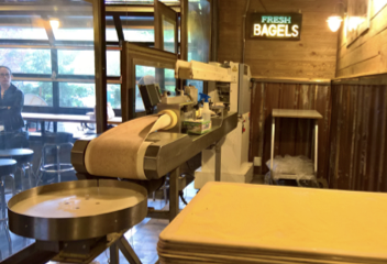
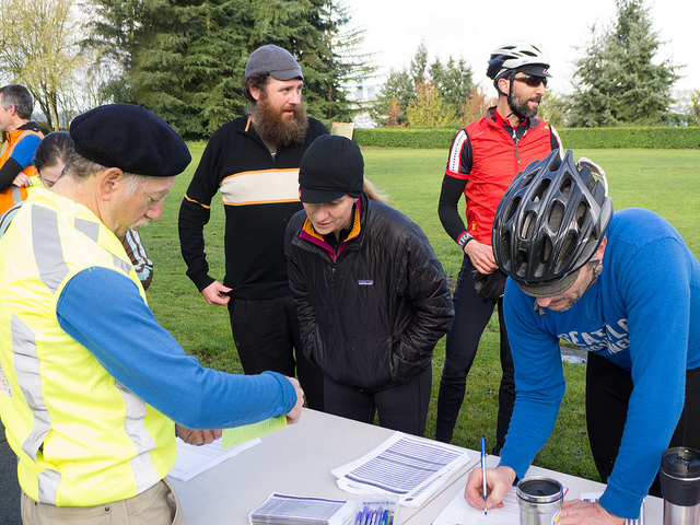
At the Rivers Edge info control, give them a stop and get a macchiato or something. Hot items will take longer than expected based on my stop–but I entered behind a family of 5. #randoluck I let them know another group of crazies will roll through this coming Friday–she said she’ll look for us. She thought I was completely nuts when I said I was going to the Canadian border that day and asked if I was “really okay.”
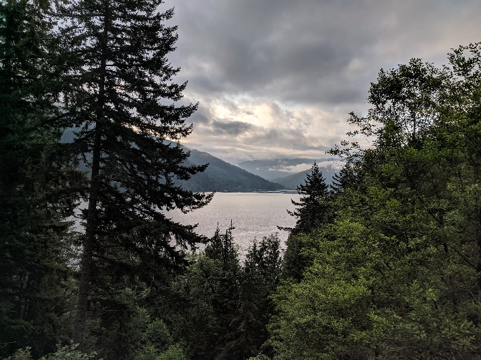
Depending upon the wind direction, you’ll feel either superhuman or super sluggish riding the section from Rivers Edge to UW. If you get the south wind, enjoy, but save some energy for the coming miles. If you get the north wind, well, make friends fast and buckle up—it’s going to be a long day.
Can’t say much about getting to Snohomish and riding through Marysville: If you’ve done a lot of SIR rides you know the route. I was dealing with my own set of challenges with a broken spoke and an (unrelated) flat, so I basically have blacked this section out of my memory.

#thankyoufiberfix
You’ll enjoy some nice gentle climbing through the Lake Goodwin area and a decent to the Warm Beach control. I asked to use the bathroom but was denied; not sure if you might have the same fate, but factor that in.

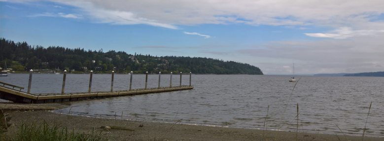
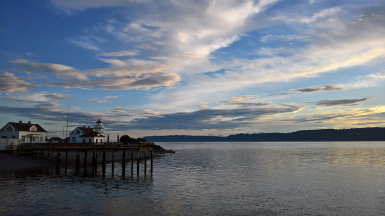
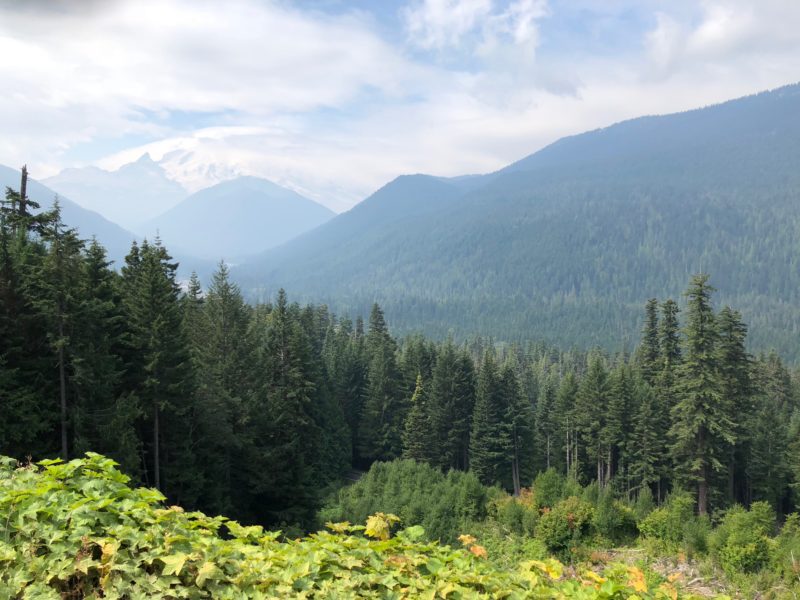
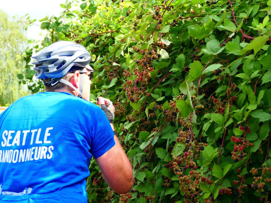
From Conway to Bellingham: First, deal with the inevitable wind that always exists in this flat region. If the winds are light, you should make some good time in the flat terrain. I always enjoy the view of Chuckanut looming in the distance; it looked particularly menacing during my ride. That said, I always enjoy the hills and curvy descents along Chuckanut, Depending on your pace, you might enjoy nice dusk light while riding this area—and its fantastic views. Among my favorite areas of Washington.

Chuckanut looms in the distance
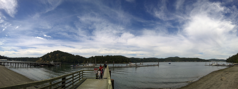
The route through Bellingham brings you onto a waterfront trail and off the road. There is a Woods Coffee shop in Boulevard Park. It might look closed, but if you need some coffee for the upcoming night riding, stop—the views of the Bellingham Bay are wonderful. I liked that the route did not pass the overnight hotel too closely—otherwise one might be tempted to stop, sleep and get the Canadian Border a little later. But keep moving. The roads up to the border are relatively flat and you should make good time. [Editor’s note: Seriously, don’t sleep on the way to the border. Read the pre-ride report from 2018 if you have doubts.]

Be aware of random large trucks traveling around Lynden. It’s Friday night, dark. Stay together or buddy up if you can. If you’re fast enough to do this in daylight or had a massive tail wind all day, kudos! Get some extra sleep!
Boundary Rd!!! Yeah, you made it to the Canadian border! No joke, at this point my Spotify playlist played Fly by Night by Rush, How did it know??? Say Hello to the border patrols who cruise the road network up there looking for people doing weird things at odd hours of the night dressed in strange clothes.
For those stopping at the overnight, enjoy the hotel in Bellingham for a few hours, get some food, sleep, and prepare for another long day.
Leaving Bellingham, you’ll enjoy a quiet morning ride along the south shore of Lake Whatcom, soaking in the morning light. The climb up to the lake and subsequent rollers will certainly wake up your morning legs. There are services at the Sudden Valley info control, and it’s a nice spot for a coffee and morning snack if you want.
Farther along, on Old Highway 99, the bridge over Friday Creek, just north of Belfast, was under construction during the pre-ride so a route detour has been made. The construction crew let me walk through when I explained what I was up to and they suggested a route change to Parson Creek Road and Prarie Road a few miles to the east, which is what you will ride. Riding from Bryant to Snohomish and Issaquah should be uneventful for those who know these roads well. Anyone new to this region will experience some of our most scenic valley riding and the no-traffic Centennial Trail.
Maybe it was me, but the section from Issaquah to Spanaway felt like the hardest section of the course. Endless long climbs with steeper grades than what you’ve experienced on the ride thus far. Get some food and drink in Issaquah and keep your energy levels up since it might be a long night.
The trail from Buckley to Orting is a regional gem and you will experience a tranquil ride and respite from the day’s road traffic. Thank you taxpayers and the leaders of Pierce County for converting this old railbed to a magic carpet ride through the forest along the Carbon River. During my ride, there was a significant bug hatch and I was glad I brought my clear riding glasses to deflect the bugs from my eyes. Riding through these bugs without glasses would have been very annoying, so plan accordingly. If you need a ditch nap, there are many great spots along the Carbon River.

At this point, getting from Orting back to Tumwater for my overnight seemed like an impossible task. But I remembered someone’s advice earlier in the riding season to not think about the remaining distance and just focus on the present. So refuel, make sure your bike is right and your lights are in good shape. Leaving Orting requires a challenging climb up South Hill on Orting Kapowsin Hwy E. The grade is steep, there are some tight turns, plus the road shoulder is unsettlingly narrow. Add some Saturday night road traffic zooming up the hill, and you’ve got a potentially hazardous environment. I’d look to group up and leave Orting together if you can.
The Spanaway-to-Tumwater section will have you return to roads you traveled a day earlier and will help give you some motivation that your getting close to your overnight. I made a coffee stop at the Denny’s on the Hwy 7/Mountain Highway to perk up. It’s a good reference point for the turn you need to make into the Twin Firs Mobile Estates trailer park anyway. I had to pause and check the route to figure out if riding through the trailer park made sense and it does help get you away from higher traffic intersections in Spanaway and puts you back on Highway 507. I was expecting more traffic on Highway 507, but was pleasantly surprised; hopefully you get the same conditions. Entering Rainier again will help you “smell the barn” and keep moving onto Tumwater. You’re close!
Now you have a lovely Sunday ride left. The bigger mile and climbing days are behind you. So, roll out of Tumwater with a smile—you got this! Grab an apple fritter or bear claw at the control in Chehalis Village. Who said “Don’t quit until you’ve had an apple fritter” during the SIR meeting about PBP earlier this year? Well – thanks for that comment because I went for the apple fritter and was not going to quit, it definitely worked. [Editor’s note: Sounds like Ron Himschoot.]
Then came Curtis Hill Rd southwest of Centralia (813 km). I had a decent headwind out of the south sapping my energy and a wobbling rear wheel being held together with FiberFix, so I decided to swallow my pride and walk the hill to avoid further damage to the wheel. In the process of pulling over, a second spoke broke on the rear wheel! I said some things I was not proud of, but which were appropriate for the moment. Well, I wanted to try randonneuring this year and this is part of the deal. Figure it out and get yourself in. I wish you all good luck riding that hill.
Approaching the Boistfort Store Control in Curtis, I had to wonder where the store might be because there is not much there, but it’s a little oasis of sustenance in a beautiful rural rolling terrain. There was, however, no bathroom.
At the Longview Control, get ready for the payoff if you’ve been battling a headwind to this point. If you’ve had a tail wind to this point, I hope you have saved some energy! There is not much to say about the Safeway in Longview—just get there, turn around, and go home!
Longview to Toledo and Chehalis. I’ve never ridden this road before but have seen it many times driving on I-5. Although you’re near the highway, the road has very low traffic and is extremely nice. You’ll notice many spots where they cut I-5 through hills that you must traverse up and down. It was a little torturous the see a flat grade off to the left while struggling up a hill. Services are available in Castle Rock (908 km), Toledo (932 km), and Centralia (970 km) to keep you fueled. Or if you need a place the nap. Another nice nap spot could be Lewis and Clark State Park at 940 km (there is water, but no food available—unless you bum food from one of the campers).
At the Tenino Control (990 km), you will hopefully feel the energy come back as you know the finish is near. There are services at the 76 gas station info control if needed.
There is always one last hill! After Teninom you’ll need to climb Chein Hill. Not the hardest on the route, but a sting in the tail no less. I had some choice words for the route designer at this point. [Editor’s note: It was Ian Shopland! Don’t blame me!] But it will soon pass and hopefully you’ll fly into the finish.
Tumwater! Congratulate yourself and everyone else who made it in. If you’re using this as a PBP-prep ride like I was, hopefully it goes well, and you gain some confidence that you’re ready for France. I hope everyone has a safe and successful ride this weekend.