Robert Hendry designed a new route, 04176 PTQ-Pretty Flat for this Side, 100 km. Flat Earth Randonneurs will be disappointed to learn the route is in Jefferson County, which is mostly unflat.
By popular demand (well actually one person asked for it), the canceled Summer 400 km brevet from Issaquah to Yakima Valley & back was turned into a permanent, 04180 Wet Side-Dry Side, 403 km. About half of this route is on the gravel Snoqualmie Valley and Palouse to Cascades Trails. Intermediate controls on the brevet were removed to allow one to free-route on even more gravel on the PTC east of Cle Elum.
Mark Thomas created a new route, 04143 Table Mountain, 103 km, based in Ellensburg. This route climbs to an awesome vantage point north of Ellensburg.
01555 Olympic Peninsula Spin, 604 km, was reinstated. Due to the continuing Covid-19 closure of the Quileute Nation, the out and back to First Beach was replaced with an out and back leg to the Olympic National Park Hoh Entrance station. The route does not enter the park so no entrance fee is required.
In housekeeping notes, a few routes were not showing up on the overview maps. This oversight has been fixed and the routes should show up with the next autoupdate of the maps. Affected routes: 1017, 1234, 1306, 2300. (The maps are linked on the SIR RwGPS home page.)
00187 Three High Passes of the Cascade Mountains, 256 km, was reactivated this week. If you are still dizzy from the 320 cues on the Spring 400 Fear is the Mind Killer brevet this route’s one right and two lefts should help you decompress. Following a route doesn’t get much simpler than this one.
01555 Olympic Peninsula Spin is deactivated. The Quileute Nation’s Covid-19 closure to outsiders makes La Push and First Beach inaccessible.
The NE 195th St pedestrian bridge across I-5, dubbed the “Tetanus Tube” by some wags, is closed for light rail construction. It should reopen in July if work stays on schedule.
Concurrently, NE 185th St is heavily affected by construction that will extend into 2022.
If only one of these I-5 crossings were closed or compromised, riders could detour to the other. But with both affected, the most expedient option is to deactivate these three 100k routes:
This week 00751 Bremerton-Elma-Rainier-Seattle was reactivated after being rerouted in Puyallup for the closed Milwaukee Ave bridge.
A new route by Mark Thomas was added, 04119 Mann Up, 201 km, based on the recent Spring 200k brevet.
The North Cascades Highway is fully plowed. This looks like the weekend this year to bike the passes before the road is opened to cars. WSDOT post. Apologies for not having 857 Marblemount-Mazama-Marblemount ready to ride…there’s always next year!
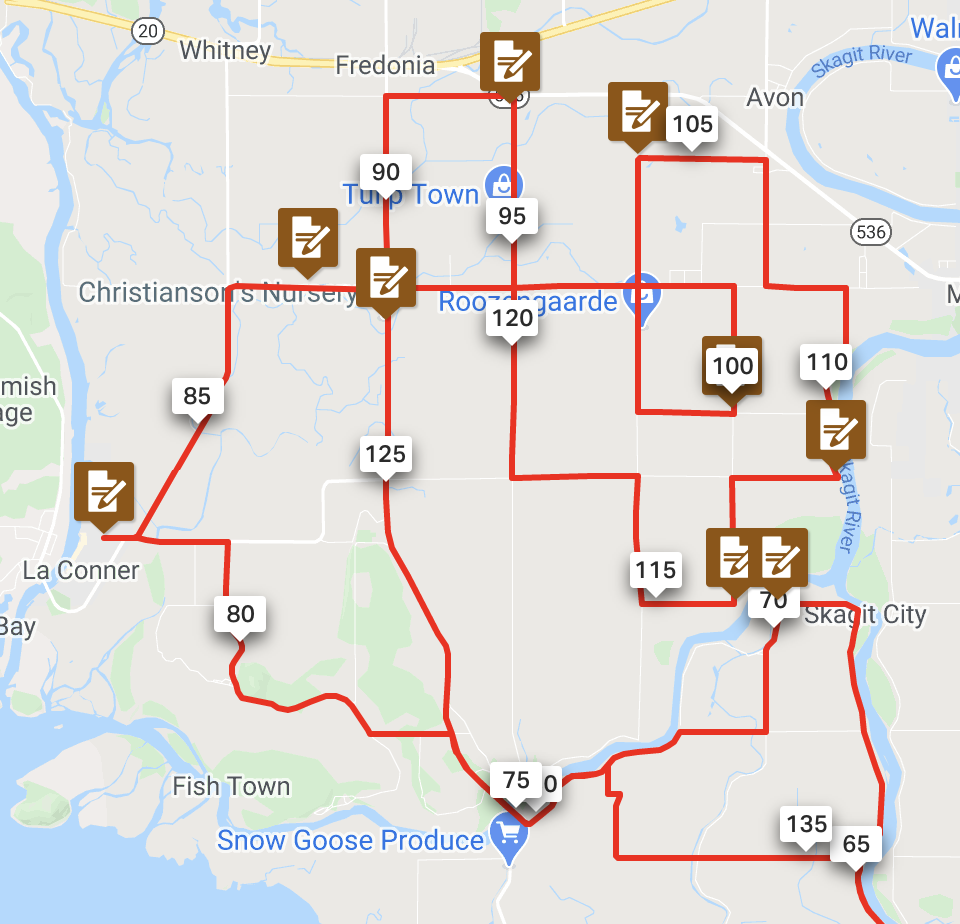
Another new route, 04106 Tulip Tangle, 200 km, was also approved. Enjoy wandering about the Skagit tulip fields while wondering whether your gps is keeping you on route.
Factoria bike flyover and new SE 36th bike trail
The news about cycling on SE 36th east of the bike flyover is not good. At the east end of the new trail you must turn onto SE 36th to continue east. Due to construction of the rest of the trail, the road has been narrowed, eliminating the old bike lanes. A better alternative is to detour to SE Eastgate Way on the north side of I-90. After the new bike flyover, take the spur down to the traffic light, loop under I-90 on the sidewalk alongside Richards Rd, then turn east on SE Eastgate Way. These maps show options if you are headed east, or north/northeast. They are linked on the SIR RwGPS Library home page.
Online maps of the bike flyover and new trail are in flux. Last week I reported that in RwGPS, the new trail was plotted on the RWGPS map. Then the trail disappeared from the map. Now it is back. The trail is also plotted on the OSM map. (But not the OSM Cycle map.) The flyover and trail are not routable on either map at present.
West Seattle News
Starting Saturday April 10, the Spokane St Bridge aka Lower Bridge will be open on weekends to all traffic until 8 AM in the morning. Provided half of West Seattle is not enticed to drive to Snoqualmie Falls for breakfast mimosas, this should help West Seattle randos drive to far-flung morning starts. SDOT Blog (scroll down).
A couple of new routes are in the works. Hopefully I can announce them next week.
In other news:
The construction closure on the I-90 trail at the future Light Rail station at 23rd Ave S/Judkins Park is over.
In really big news, the I-90 trail bike flyover in Factoria across Factoria Blvd is open! A bonus is by not descending to Factoria Blvd, the flyover reduces the climbing on 36th Ave SE. The flyover connects to a new trail on the north side of 36th. Presently the new trail terminates at 132nd Ave SE, where a traffic light aids turning left to the old uphill bike lane on 36th. (The top of 36th is still steep.) Seattle Bike Blog article.
If you are doing routing work in Ride with GPS, the new flyover is mapped on the “RWGPS” map.
At Anthony’s suggestion a control was added to 00998 Whidbey Coast at the Keystone ferry terminal to provide a convenient start for west Sounders.
The east end of the Cedar River Trail is closed until May 10. Trail Alert: Cedar River Trail closed south of Dorre Don Natural Area (govdelivery.com) Affected routes include 00401 Leschi-Auburn-Leschi and Southern Exposure and 01076 Southern Exposure. It is straightforward to detour on SE 248th St, work through the subdivision, to Maple Valley Highway and get back on the trail in Maple Valley.
Mark Thomas created a new route, 04078 Snakebit, 208 km. Escape from the urban eastside to the Middle Fork Snoqualmie and Rattlesnake Lake.
Ronald Long joined Baked Goods 100 and Centennial Trail 100 to create – can you guess – 04073 Baked Goods and Centennial Trail, 201 km. This is a low elevation route good for winter riding. Fans of Snohomish Bakery take note: it visits the bakery three times!