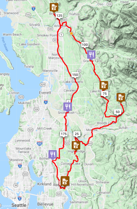
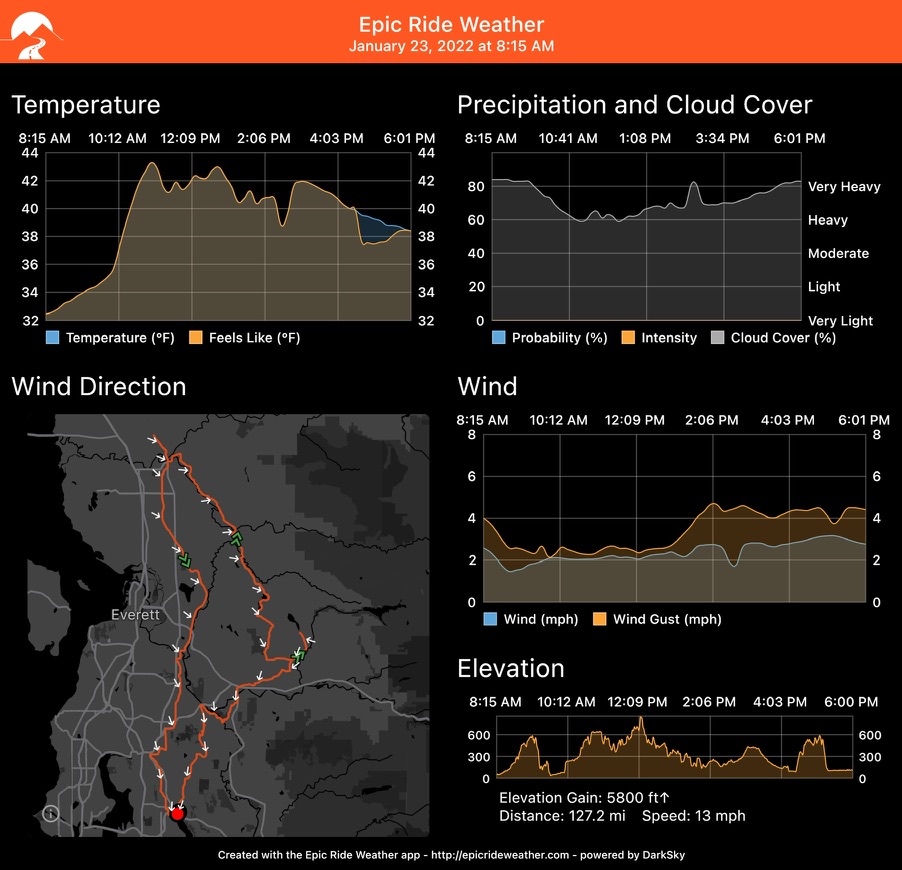
313 km
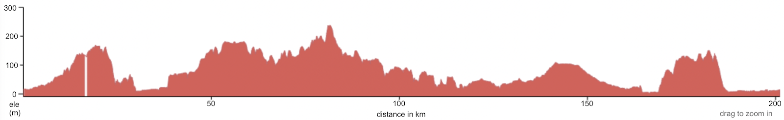
14,000 ft climbing
Preriders: Yonnel Gardes, Robert Giglio, Bill Gobie, Aaron Jones, Keith Moore
Crashers: Bill Gobie, Keith Moore

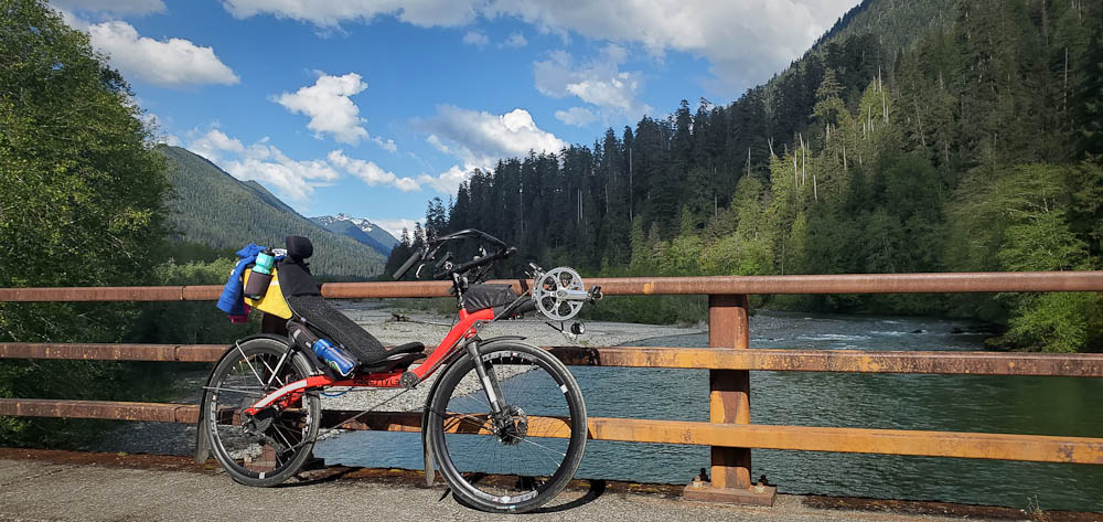
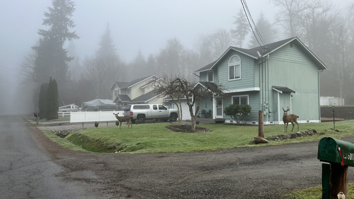
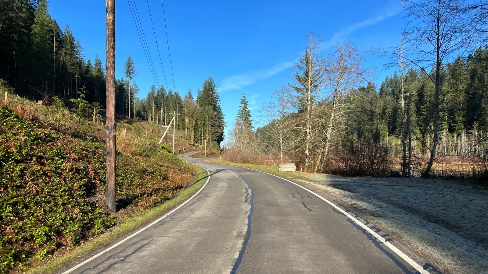
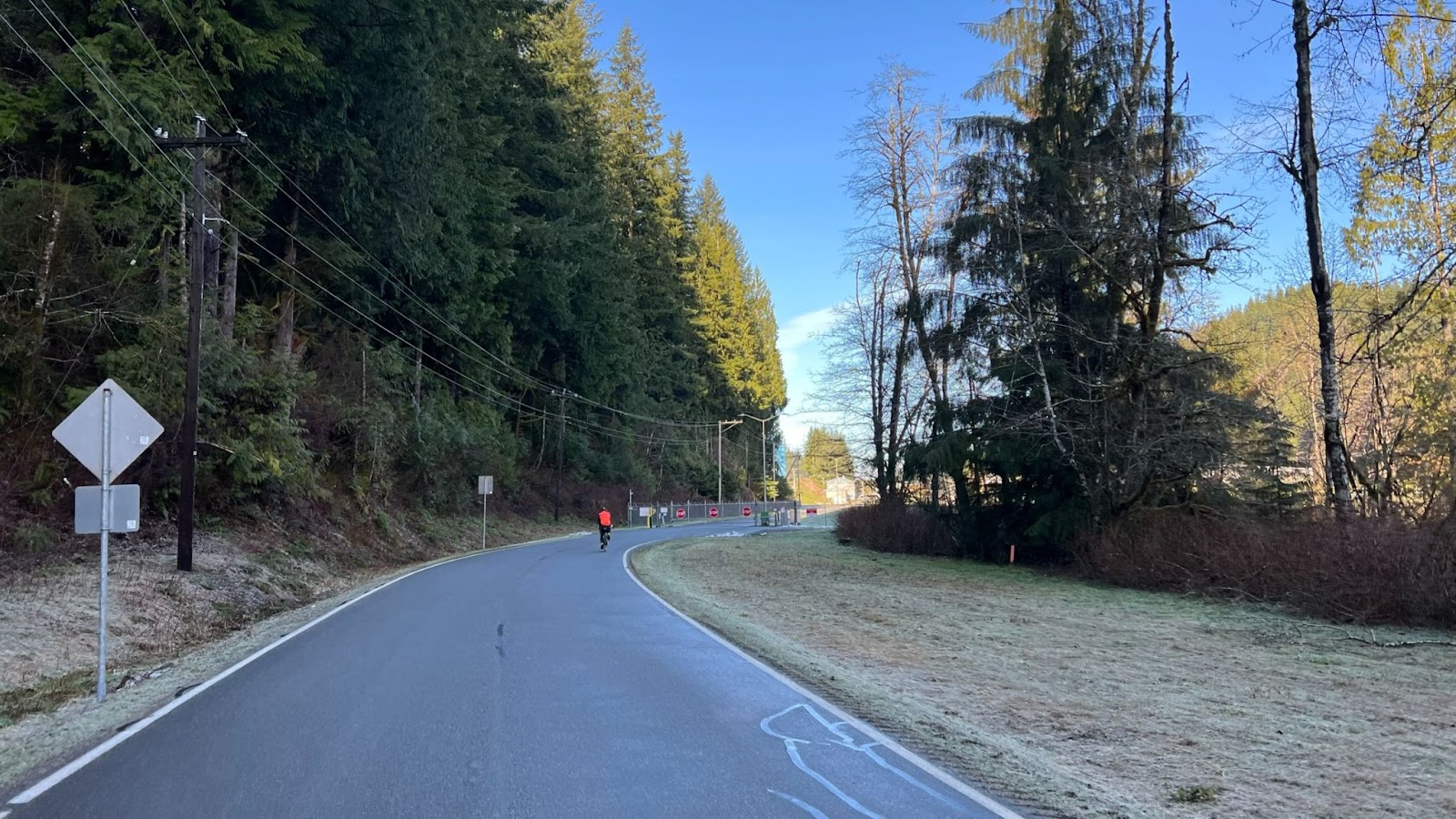
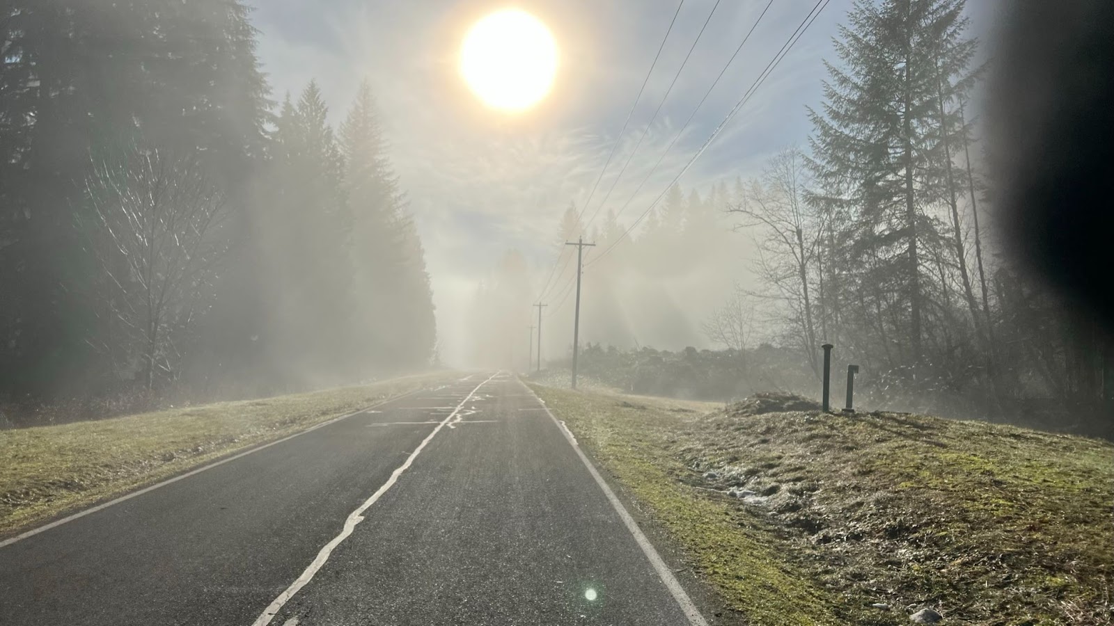
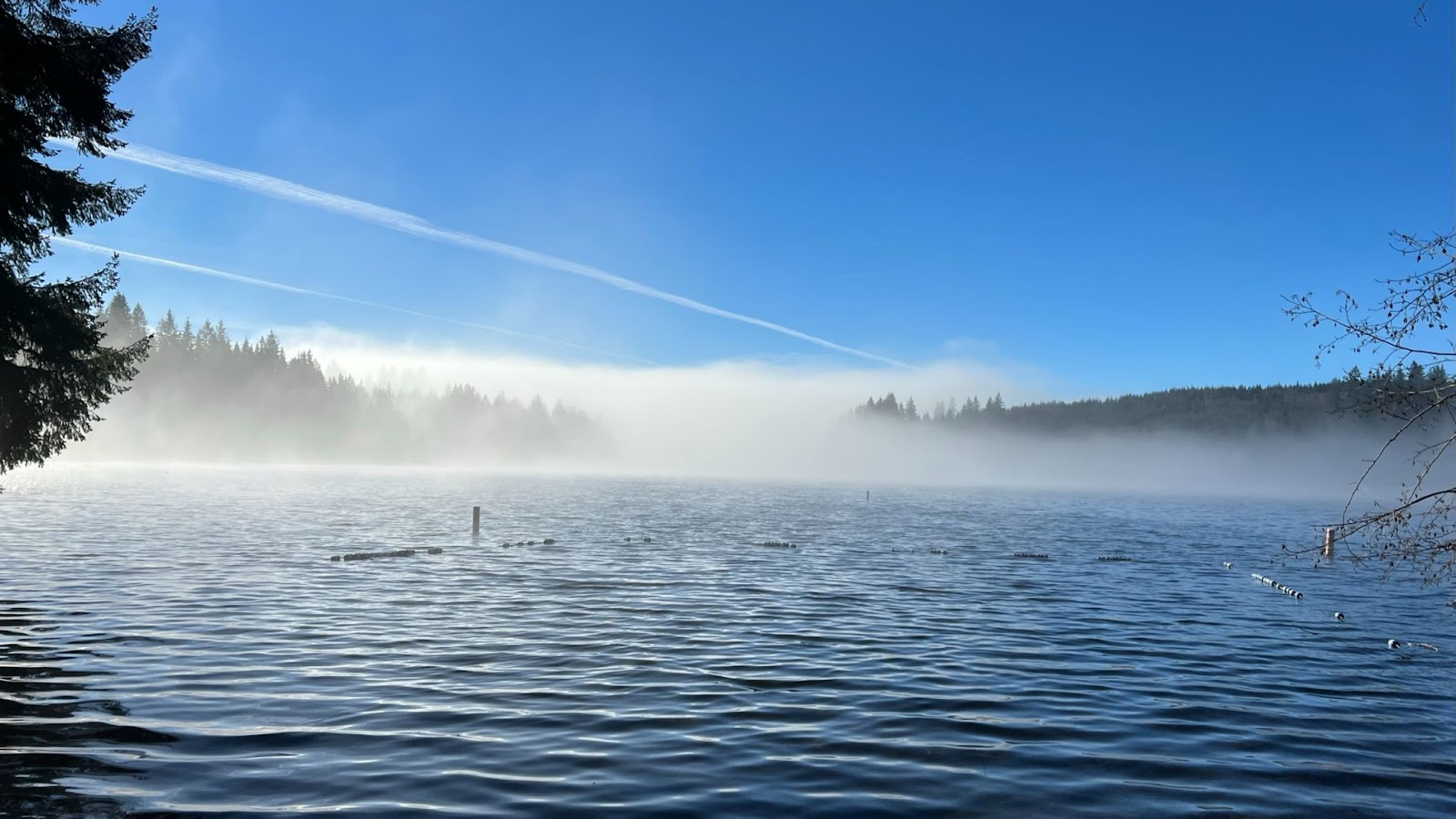
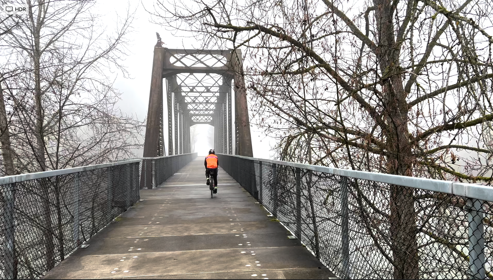
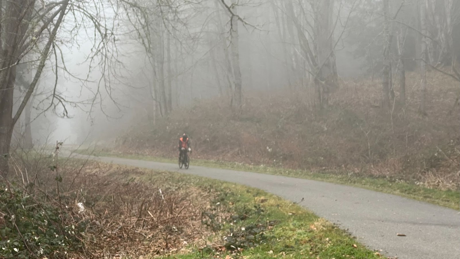
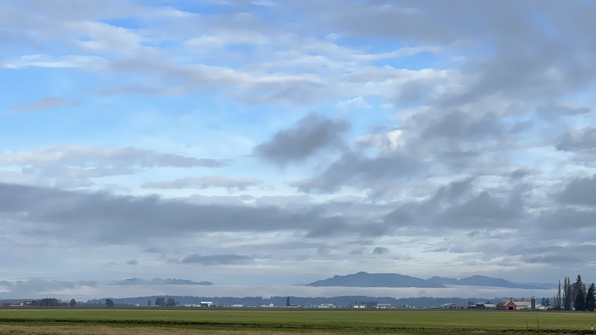
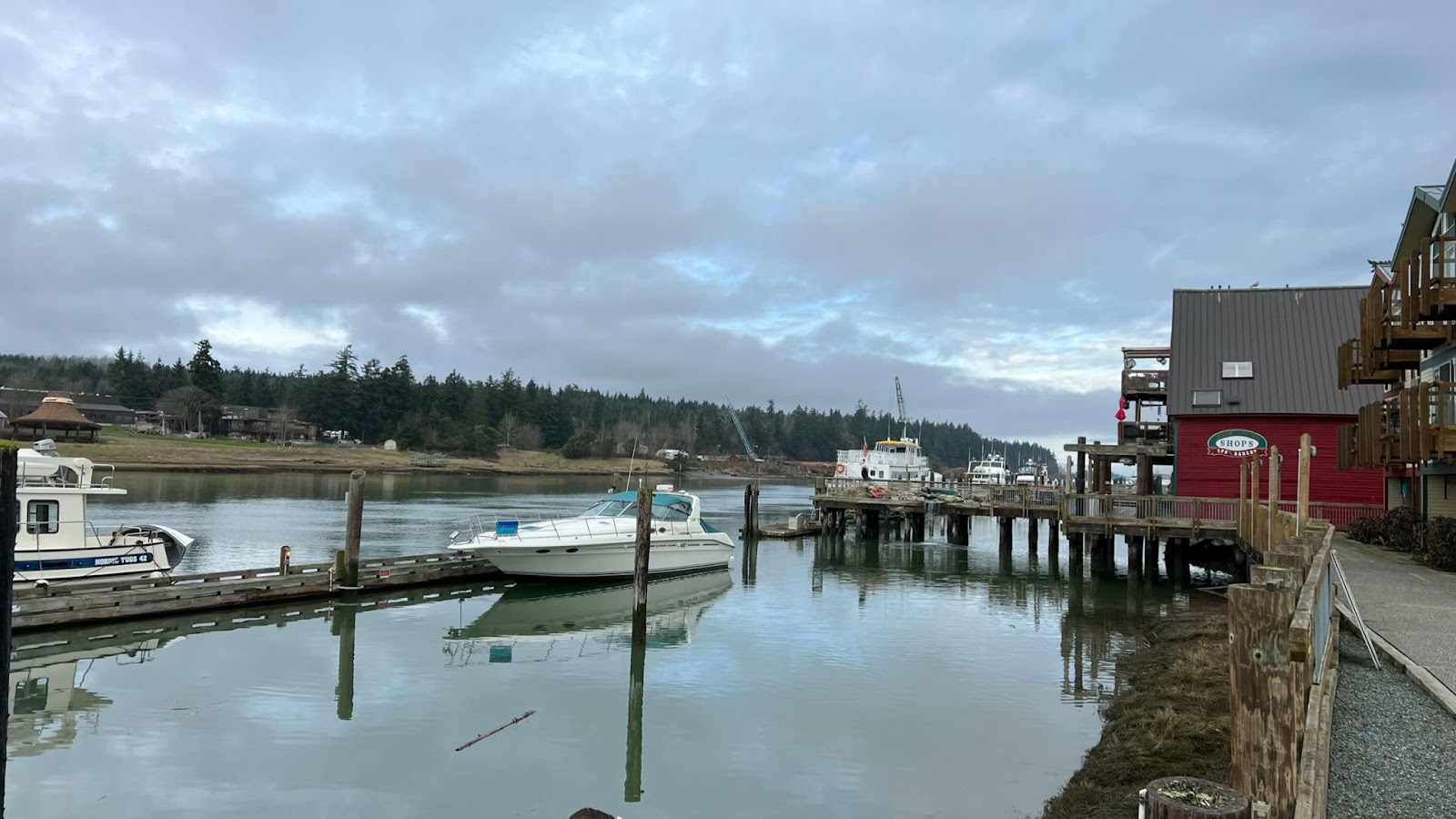
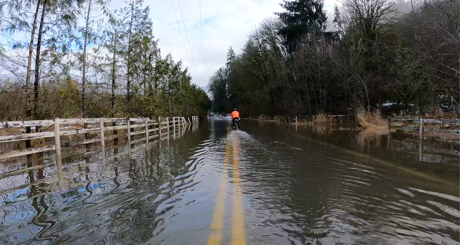
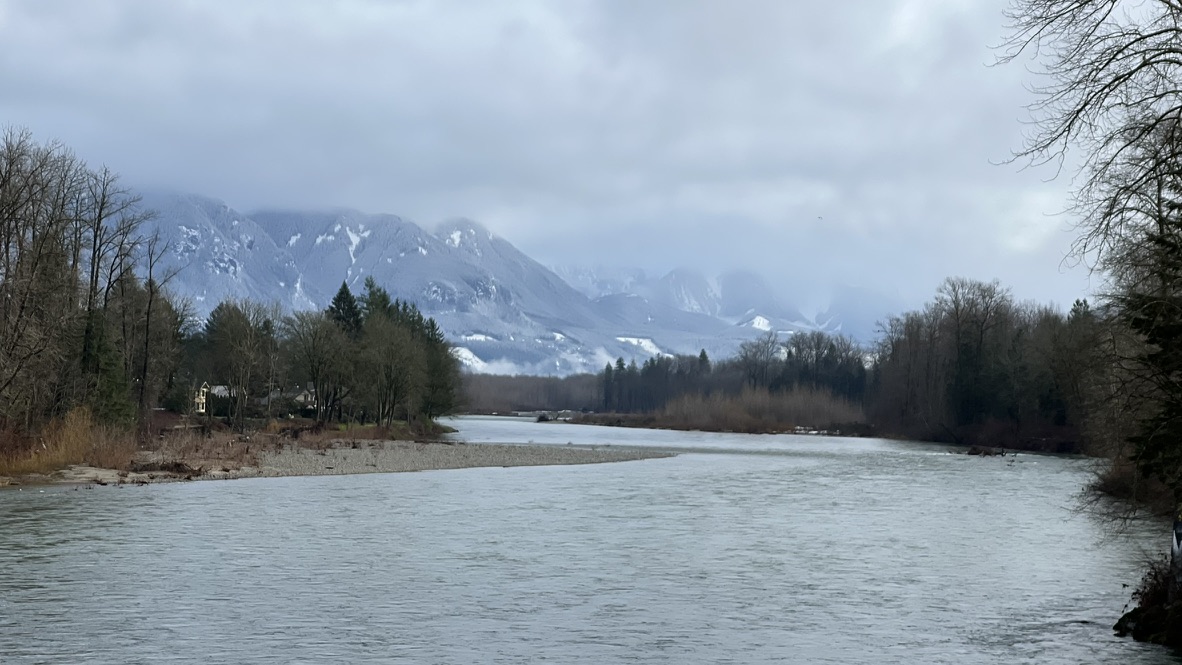
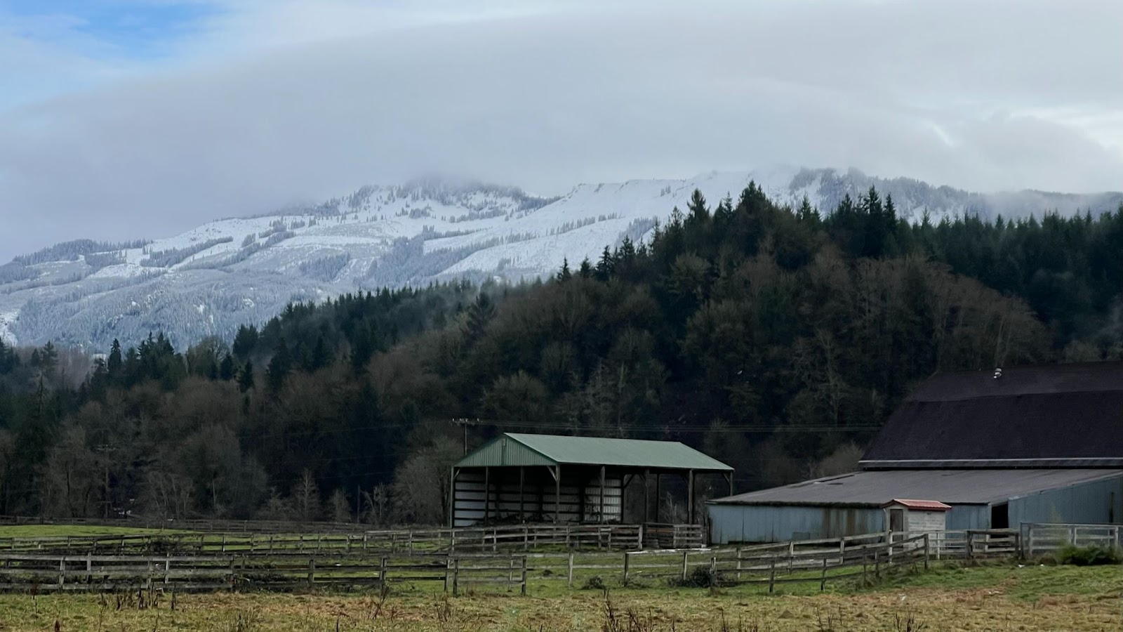
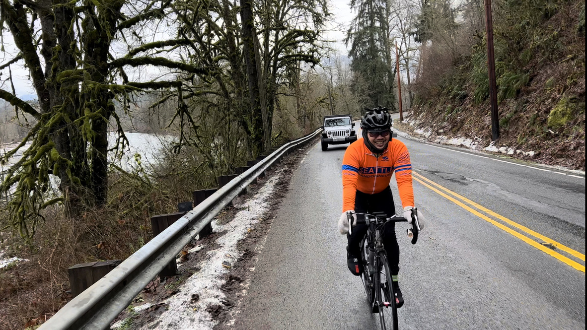
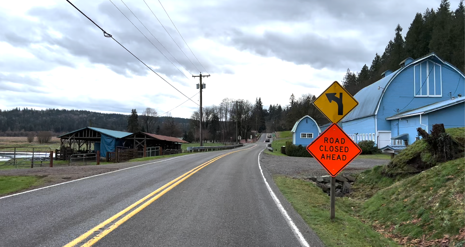
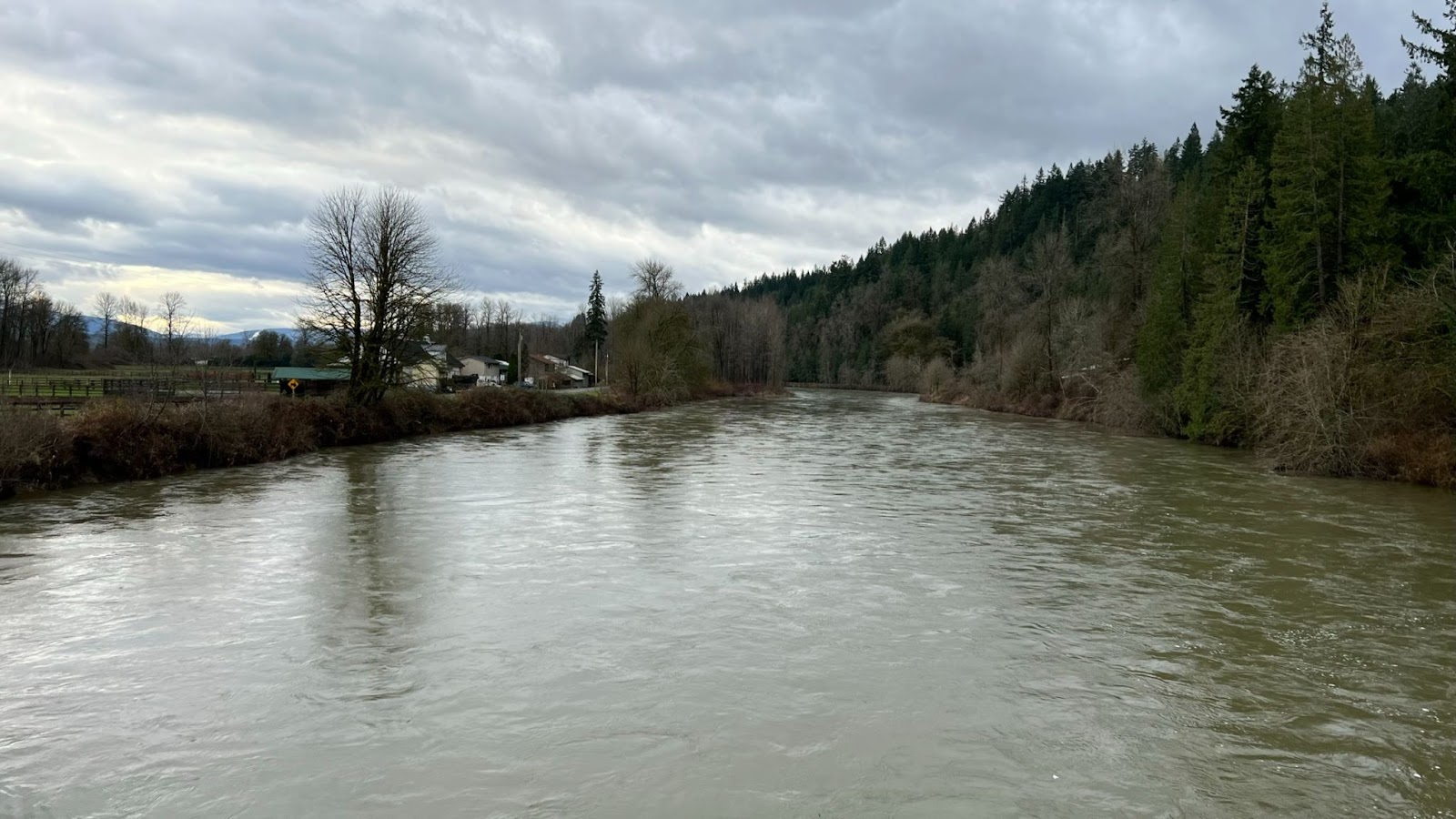
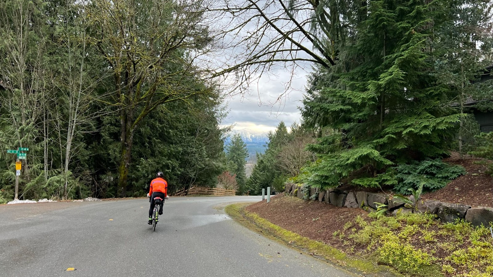
From foxgloves to towering cedars to enormous volcanoes, scenery abounds at all scales on this route. Waterfalls, lakes, marshes and creeks tempt you to linger, but mosquitoes and biting flies will impel you onward! Pray you don’t get a flat!
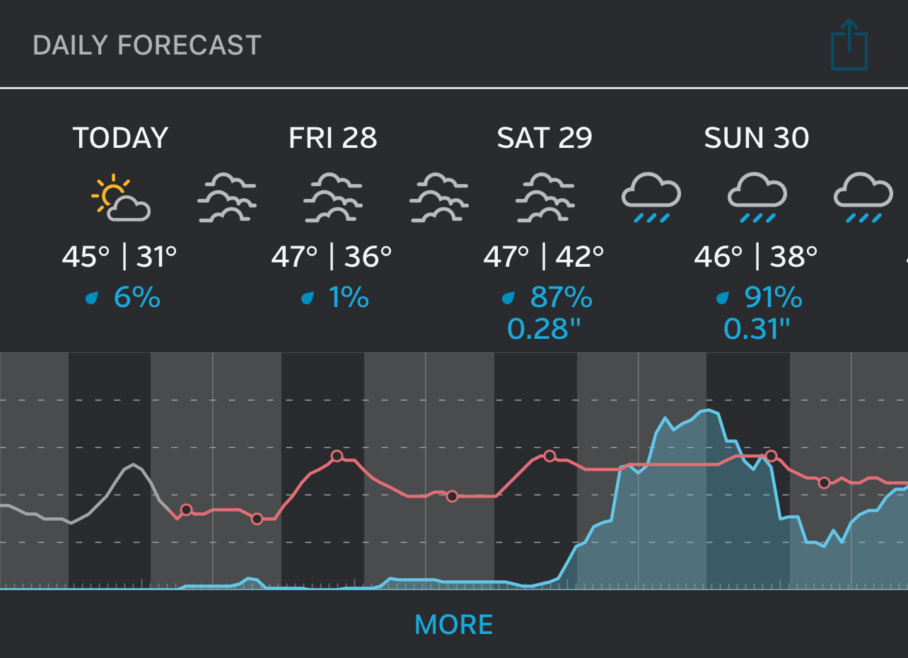
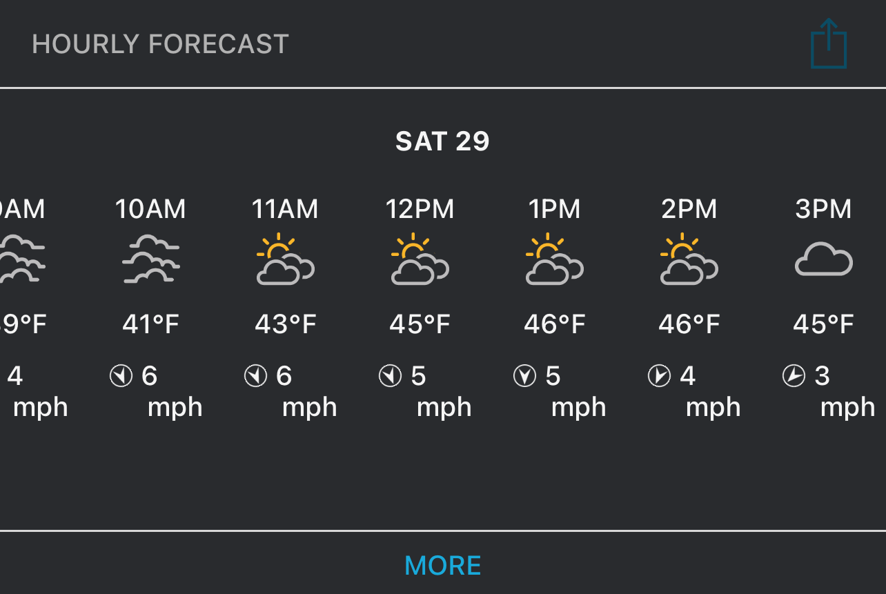
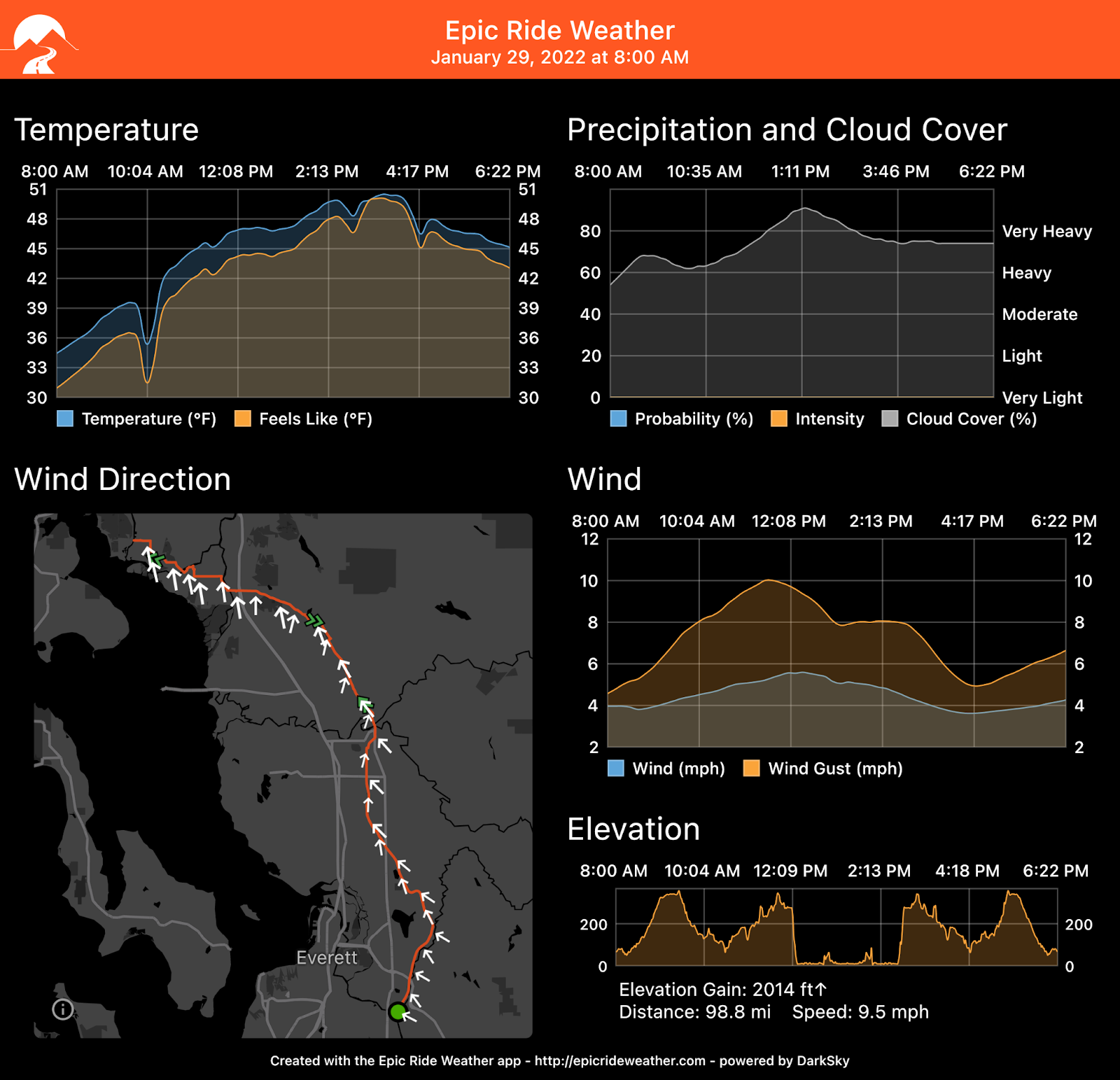
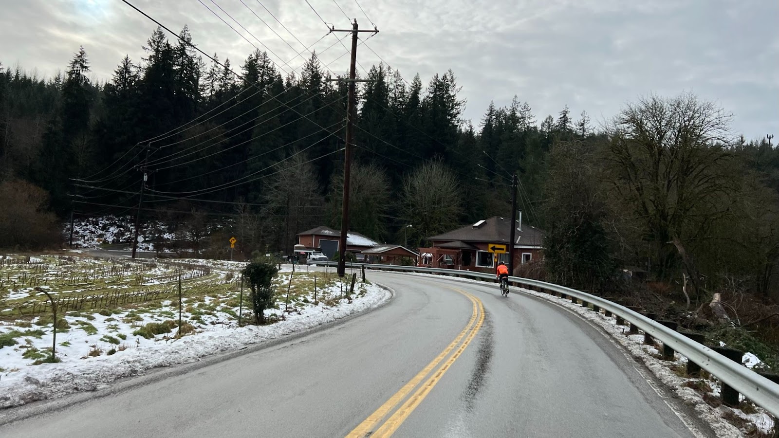
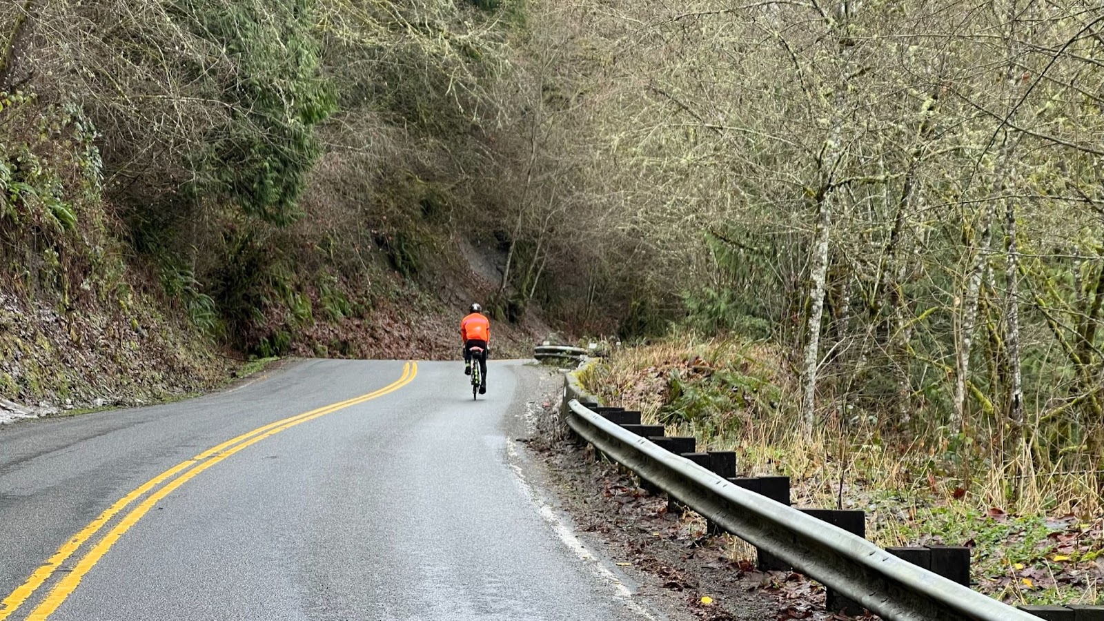
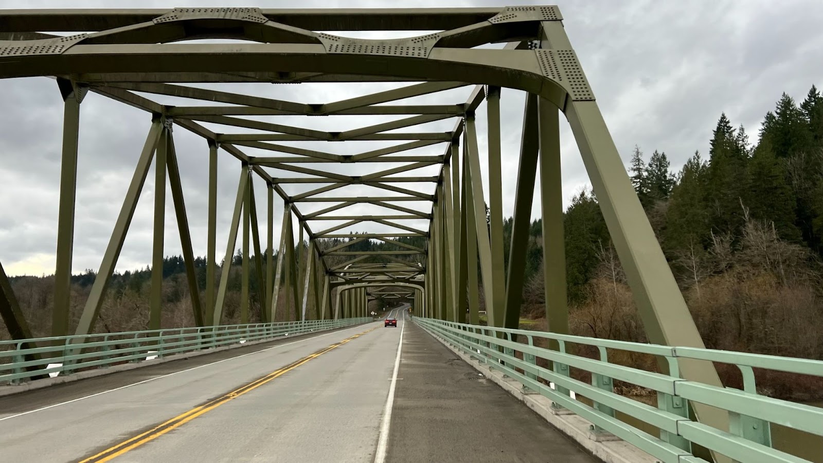
Abundant also is climbing. Climbing, climbing, climbing! 14,000 feet of it in long alpine ascents plus the occasional vertical wall. Where climbing abounds so does descending. On some stretches you may reach 50 mph, on others you must brake the whole way down. In recognition of the challenge of reaching controls atop alpine climbs, time limits at the staffed controls at Takhlakh Lake and 240 km will not be enforced. That doesn’t mean you can take it easy! And note this route is 13 km longer than 300k. The minimum pace to finish is 15.7 kph.
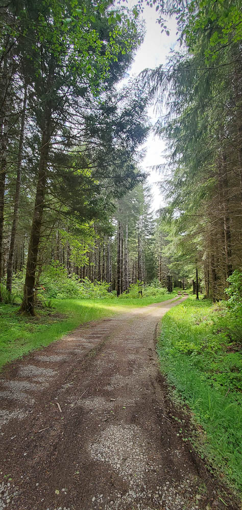
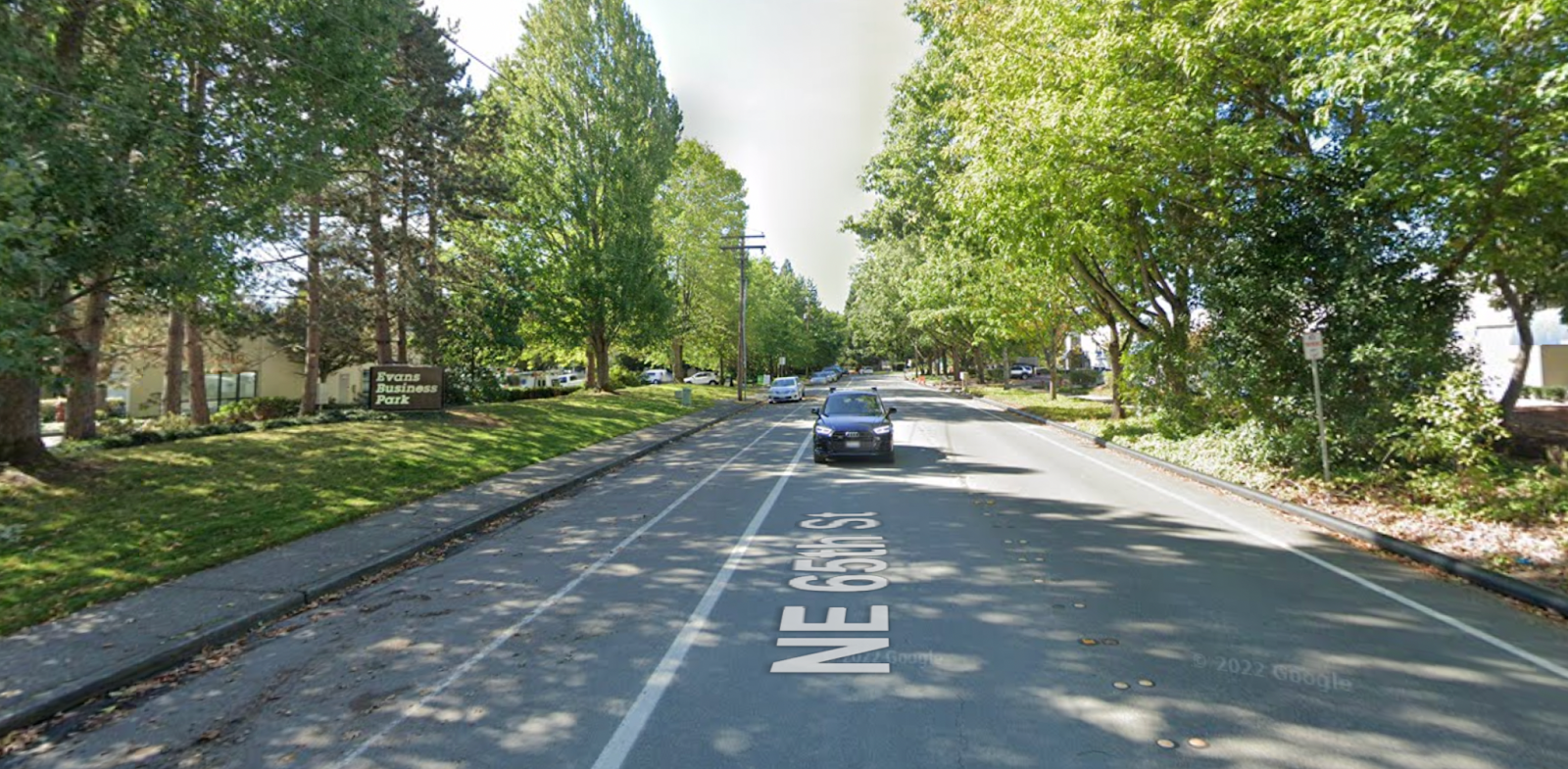
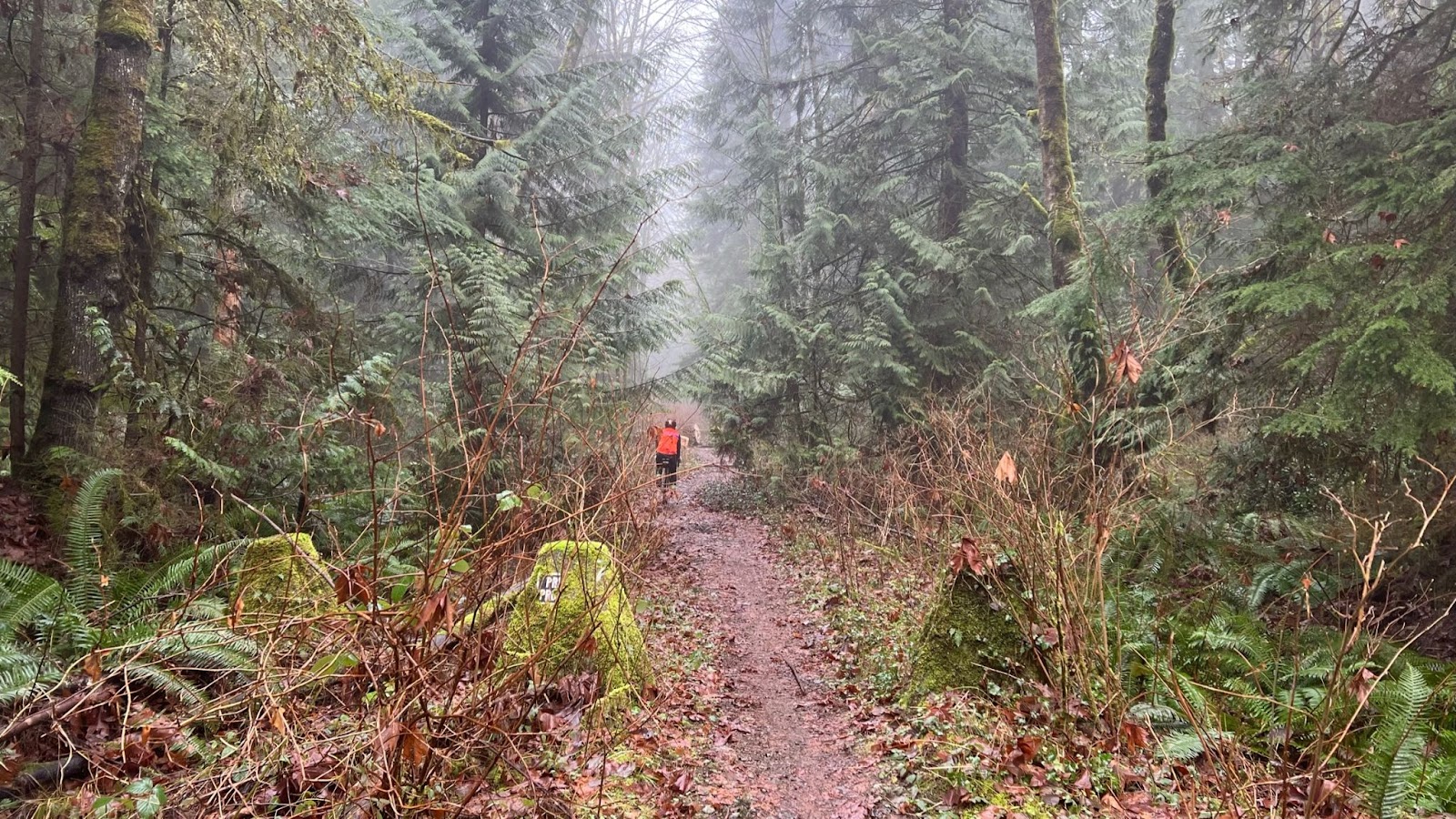
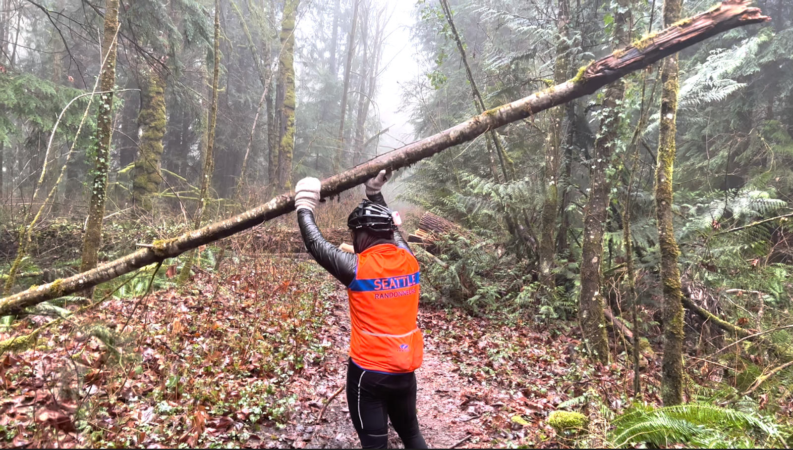
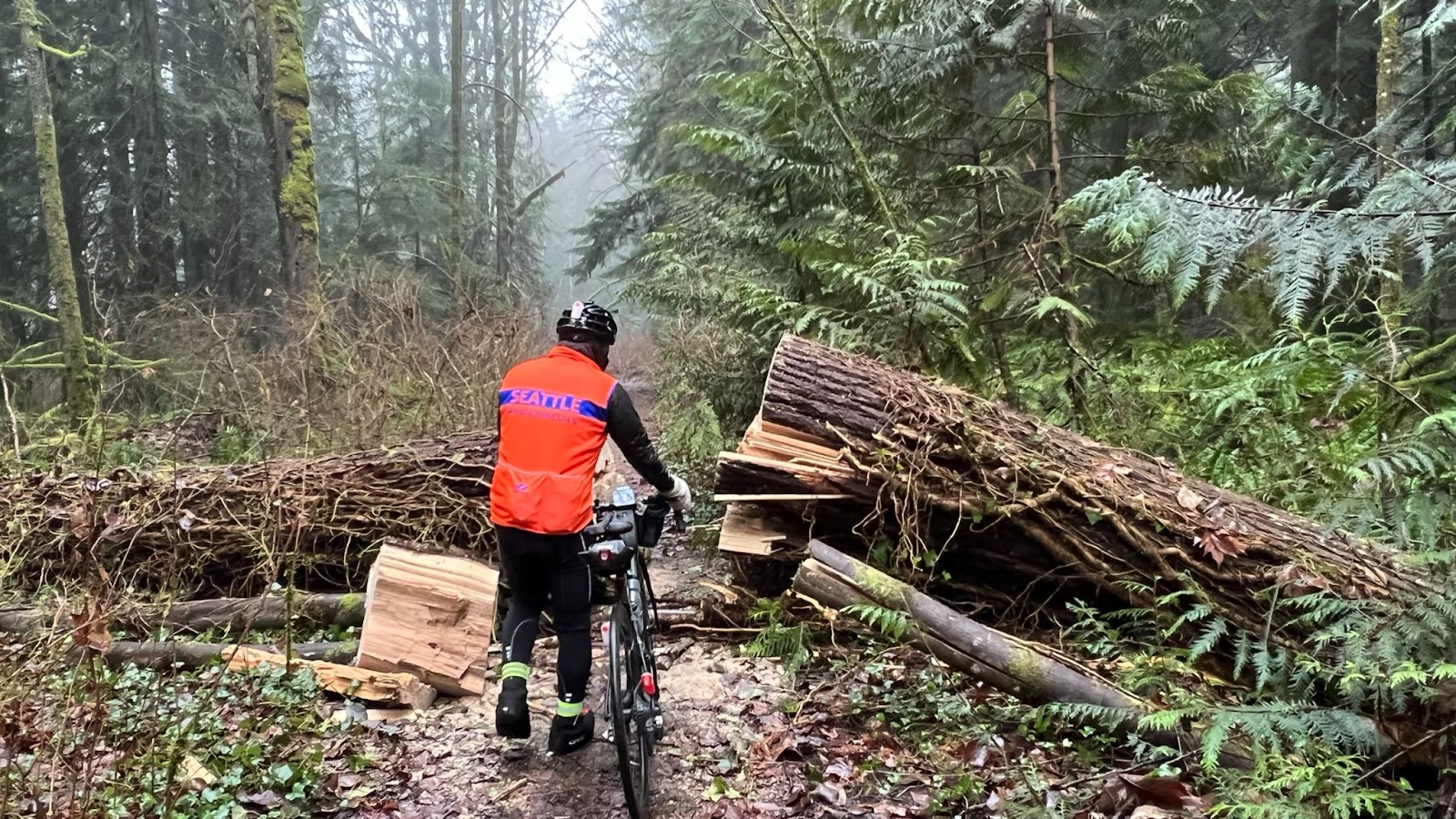
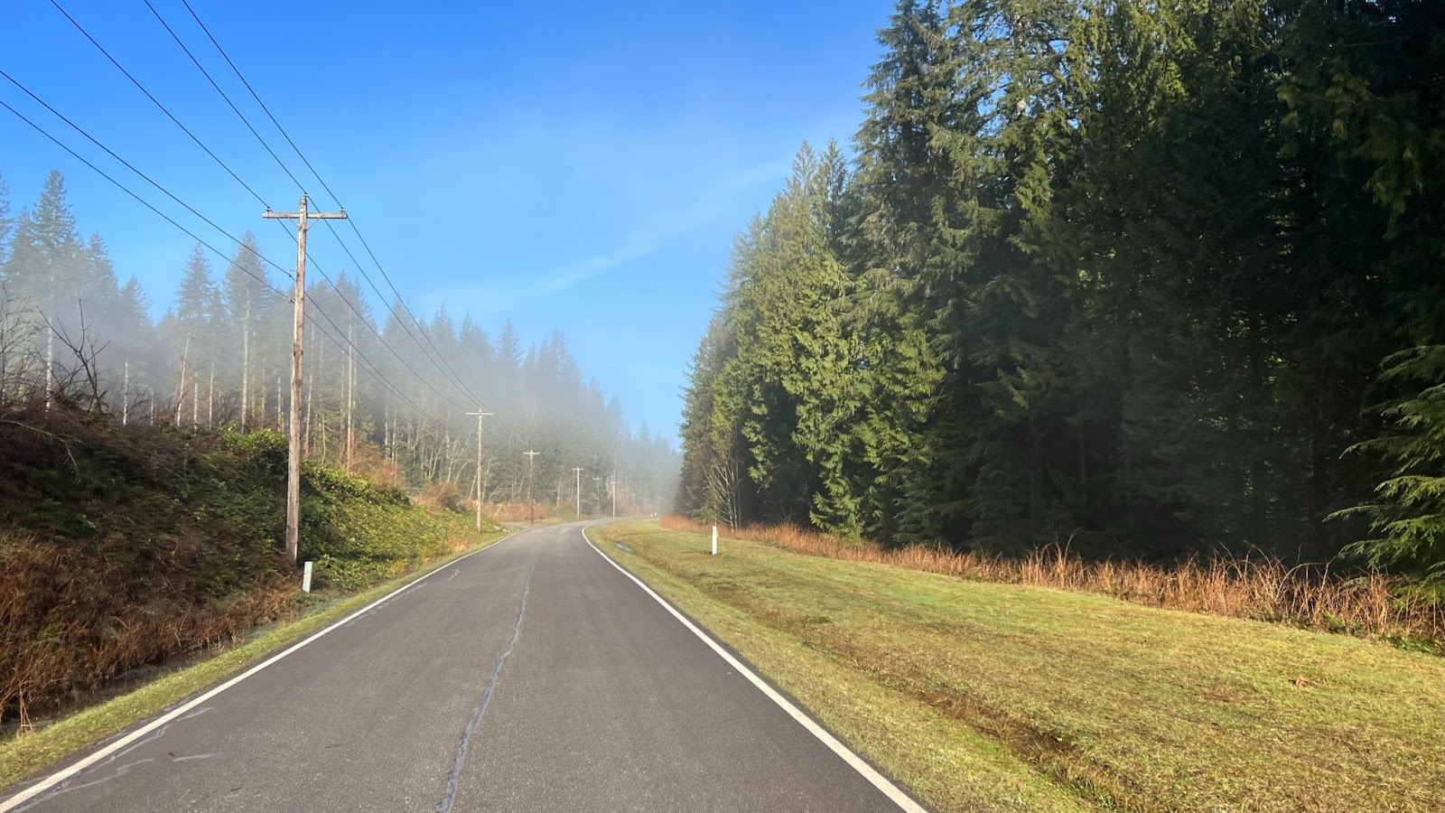
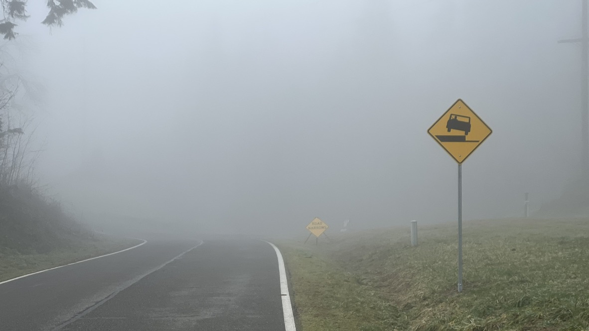
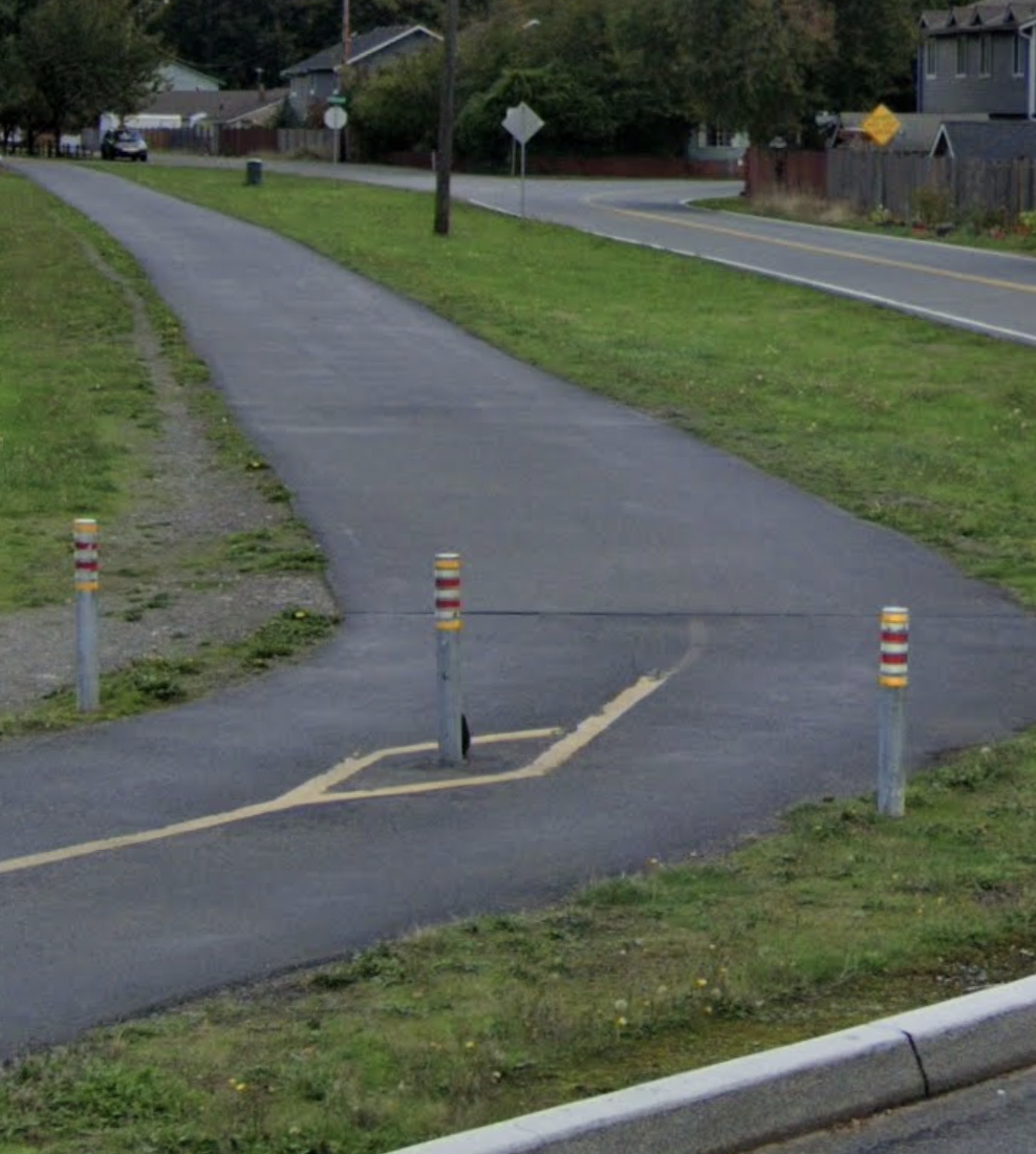
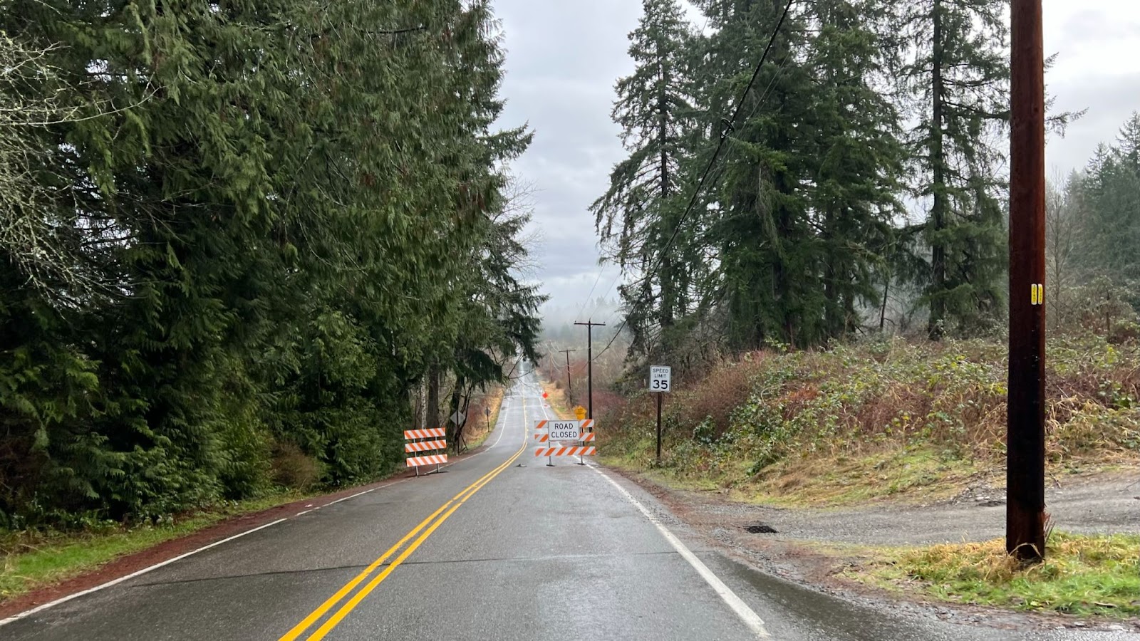
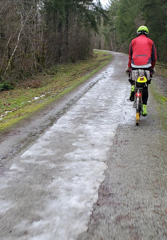
Gravel
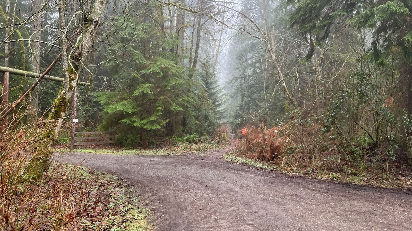
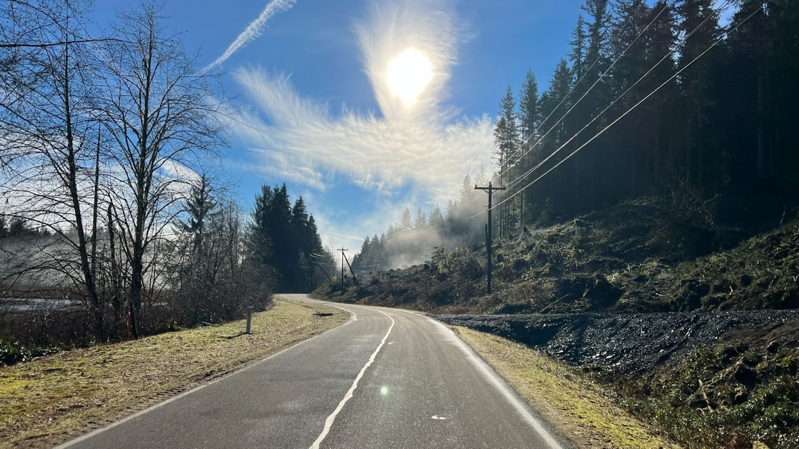
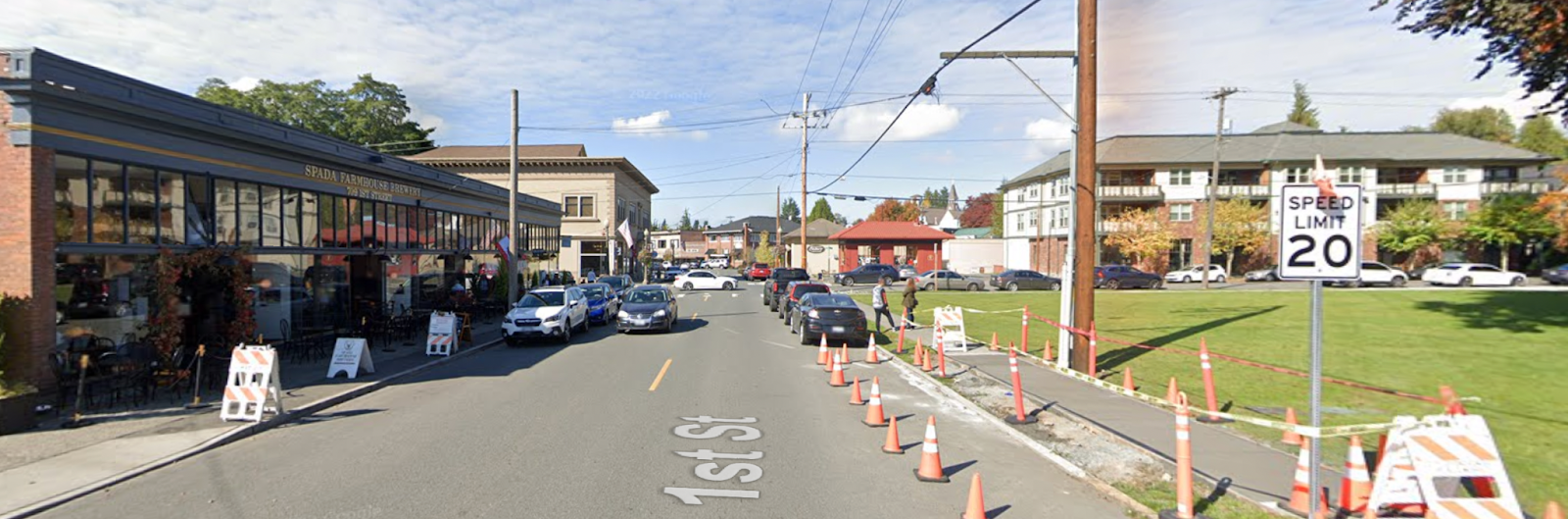
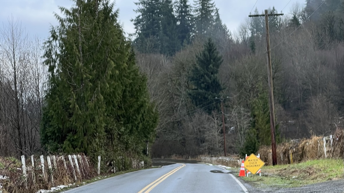
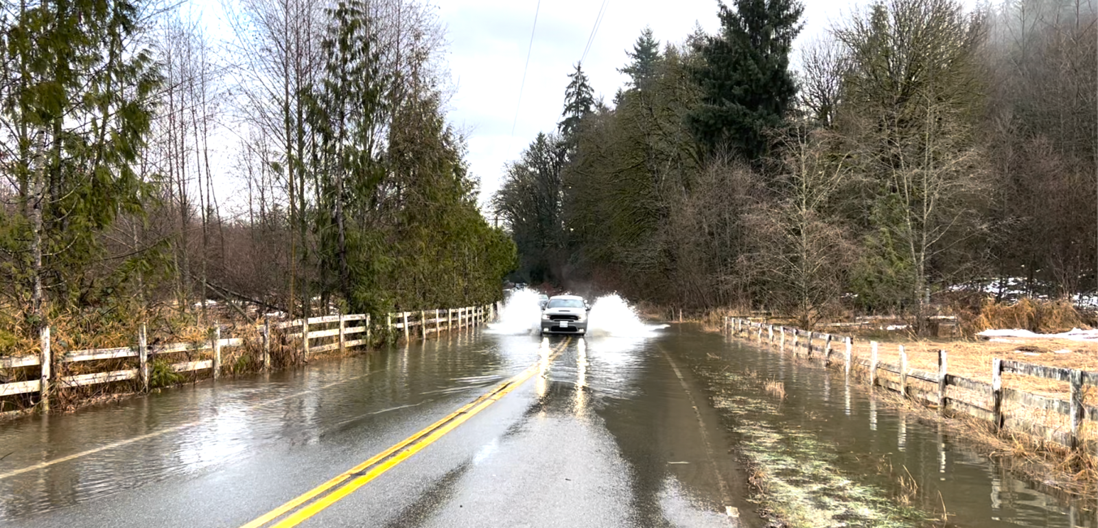
12% of the route or 37 km is gravel roads in four main segments, plus short patches of gravel in otherwise paved roads. Much is not tame gravel like the Iron Horse Trail or the better roads in local private forests. Potholes, soft patches, rocks, and slippery surfaces abound. Hazards are too numerous to enumerate in the cues. Only the most surprising hazards are noted in the cues. You must ride prudently within your abilities.
Tires at least 35 mm wide are recommended, and wider should be better. Moderately knobby tires might be desirable for better traction on gravel, but remember 88% of the route is pavement where knobbies might slow you down and impair high speed handling. As historical perspective, 12-15 years ago 32 mm was a wide tire and people were negotiating these roads.
Water
Hydration is imperative on this ride! You must remain well hydrated to tackle the climbs. Between the exertion and time spent climbing and dry air at higher altitudes, expect to consume a lot of water. Three bottles at minimum are recommended. Water is available at the six intermediate controls on this route. Most people should be able to reach the second intermediate control at Adams Fork Campground before needing water thanks to cool morning temperatures and only moderate climbing. From Adams Fork I recommend you leave each control with every bottle full.
Adams Fork Campground has a water pump located at the far end of the campground loop from the entrance. Pumping water works best with two people: One to pump, the other to fill bottles. Pull the button up to dispense water from the spigot under the pump. If you are alone, pump to fill the reservoir until water gushes out the overflow below the pump, then quickly fill bottles from the spigot.

Food
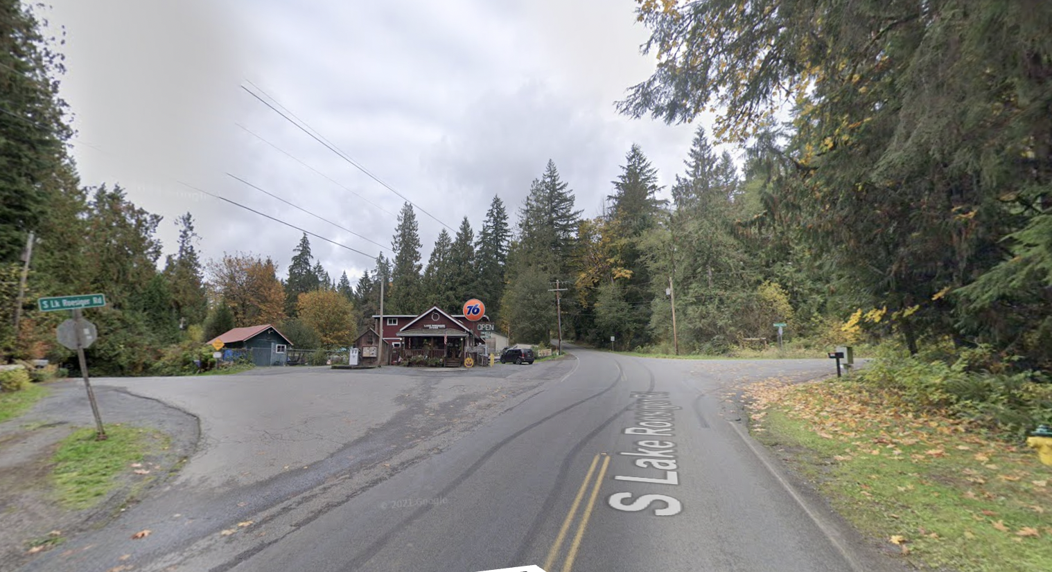
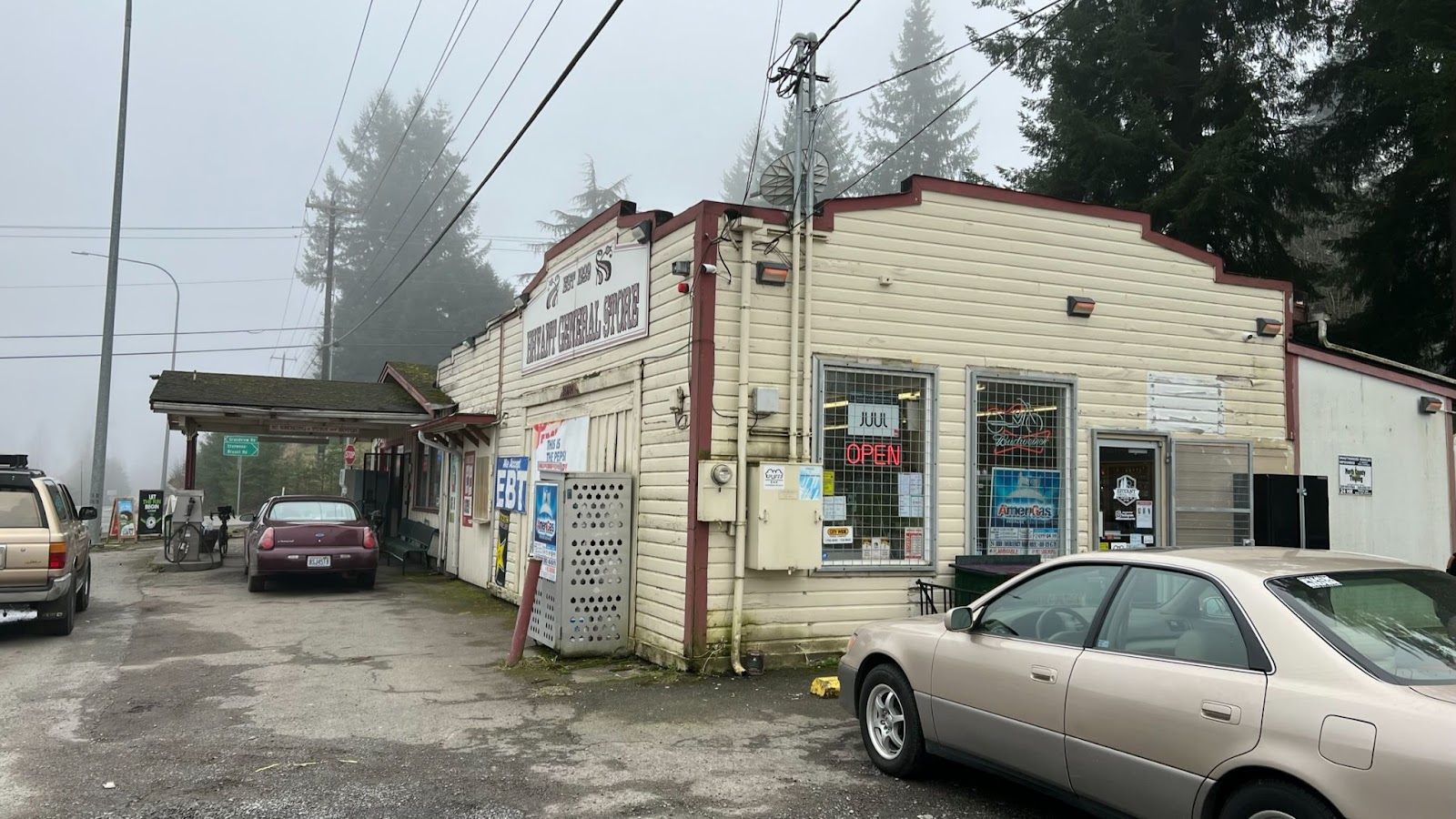
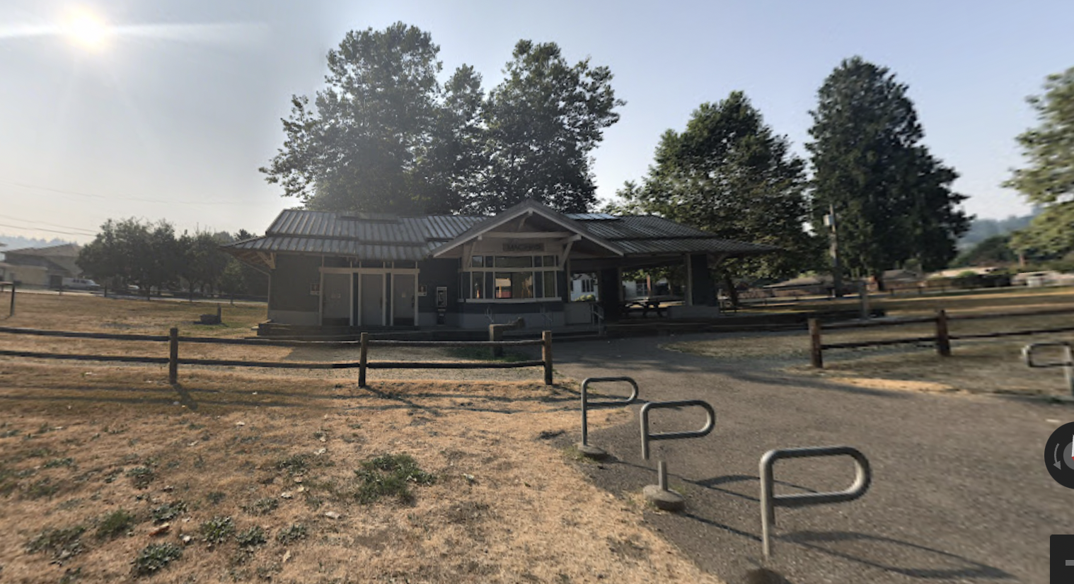
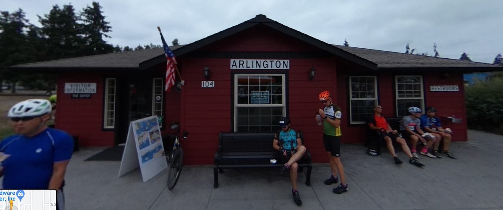
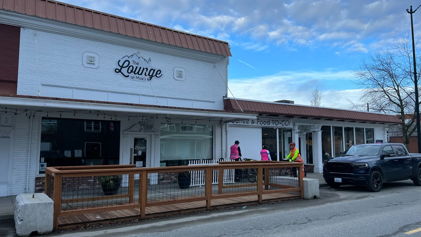
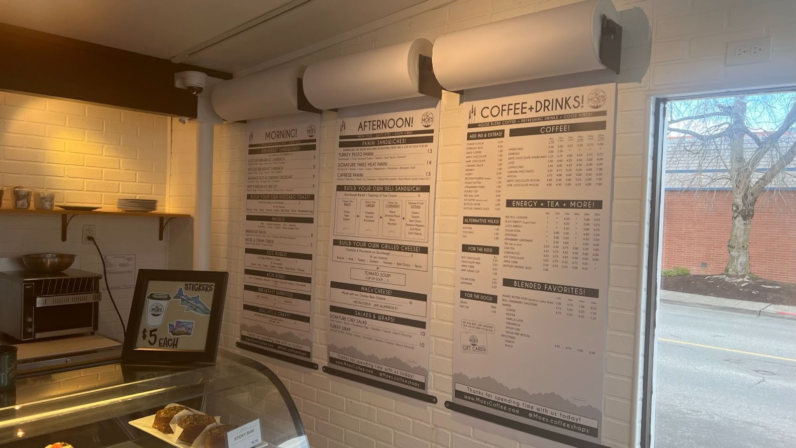
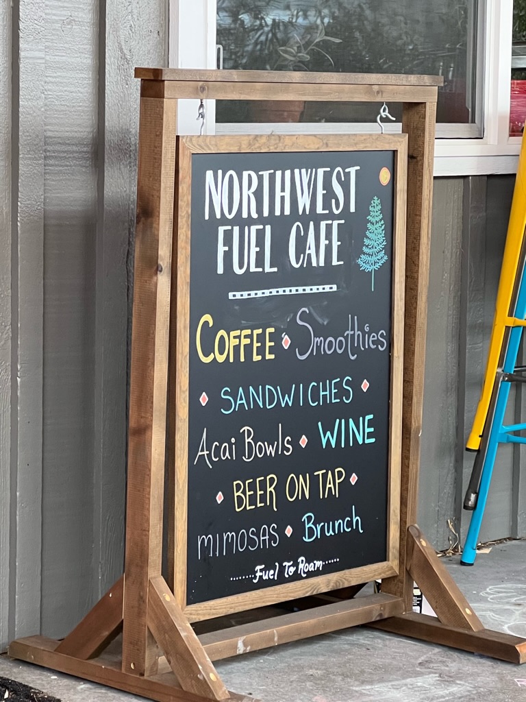
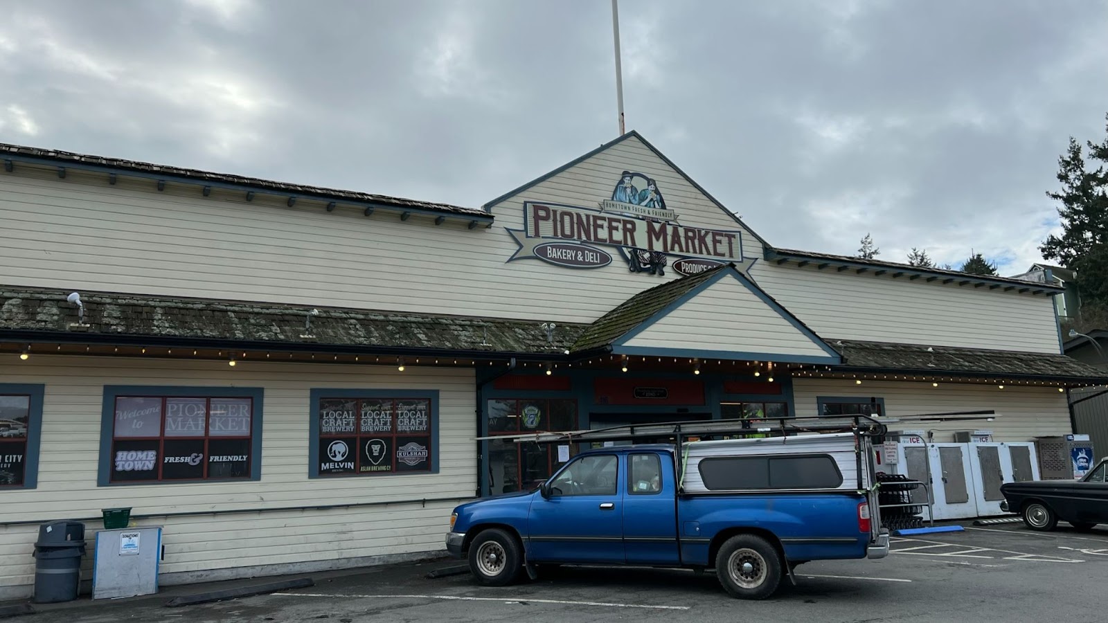
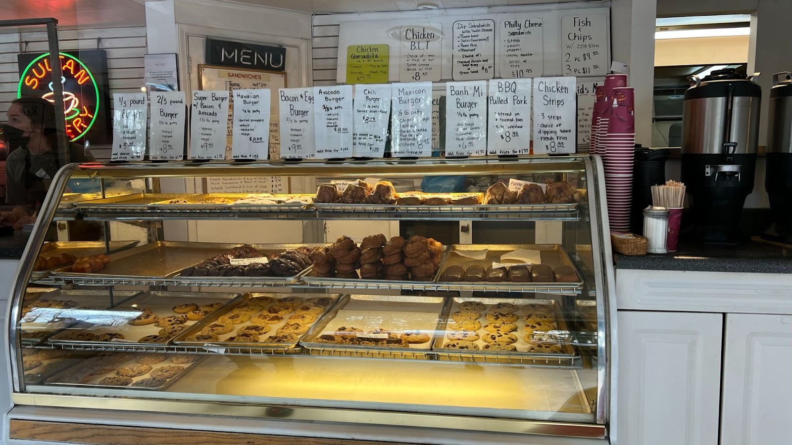
Apart from the staffed controls, food is available in Trout Lake at the cafe and the store. Eagle Cliff has a store which closes at 8 pm and pizzas available until 7 pm (roughly when a timed control would close).
Bail out
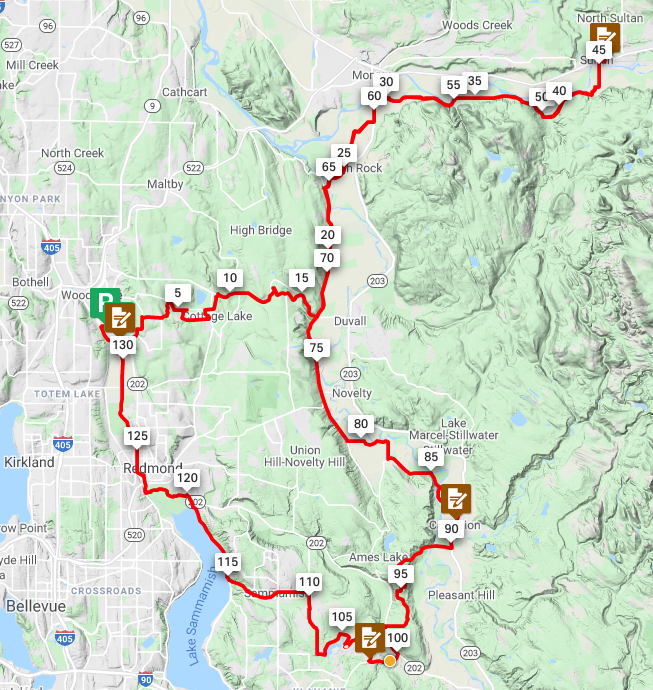
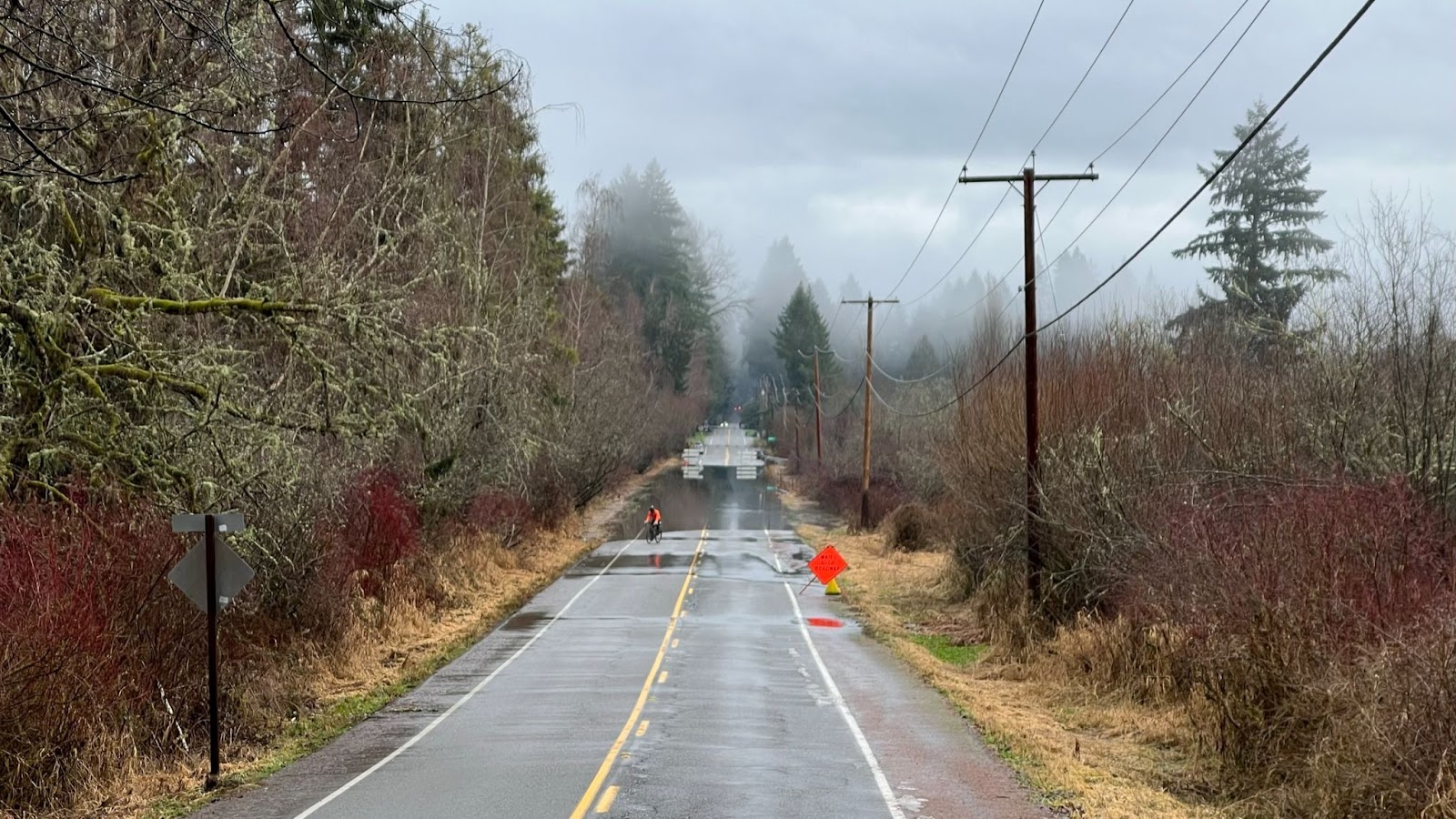
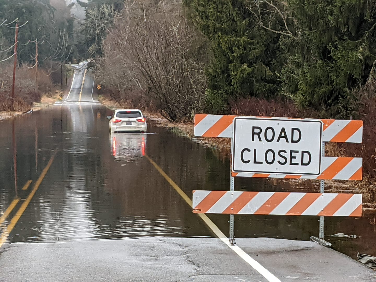
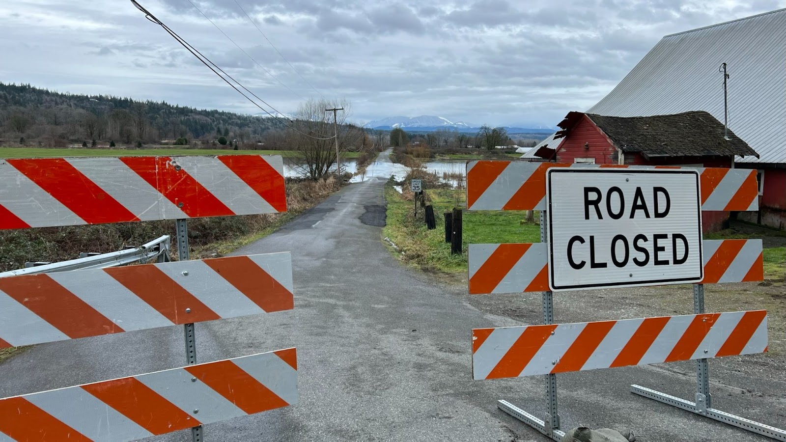
At Takhlakh Lake take stock of your condition. You will have finished the most difficult and highest climb on the route. Fatigue and dehydration will make the remaining two climbs equally if not more difficult. If you go forward from Takhlakh Lake DNFing will be extremely difficult unless you have a sag driver waiting. At Takhlakh Lake you can bail out relatively easily, returning toward Randle on NF-23. Note this is a gravel descent and carries most of the car traffic between Packwood and Trout Lake (which is why this version of the route does not use NF-23) and has not been scouted. Be sure to inform the control workers at Takhlakh and Packwood if you decide to DNF. Route: https://ridewithgps.com/routes/40258450. Load this on your gps (or print a cue sheet) before leaving home. There is no wireless service at Takhlakh Lake.
Safety

Good lights and reflective gear for night riding are required. There will be a bike and equipment check. No shiney, no ridey.
Your brakes need to be in top shape. 14,000 feet of alpine climbing means 14,000 feet of alpine descending. Much of the gravel requires continuous braking. Speed control is imperative on the twisting descents, particularly NF-25 after Elk Pass. Brand new brake pads and good adjustment are highly recommended. Check that your rotors are within spec. I have manually-adjusted disc brakes and noticed significantly increased lever travel (pad wear) by the end.
I highly recommend pairing up with a buddy. Do not lose sight of each other. A 911 emergency response will take hours, and maybe overnight. County names have been added to the cues to help 911 route a call to the correct agency. Your best option is not to get injured, and if you do, make your way prudently to the nearest populated place (Trout Lake, Northwoods, Randle, Packwood).
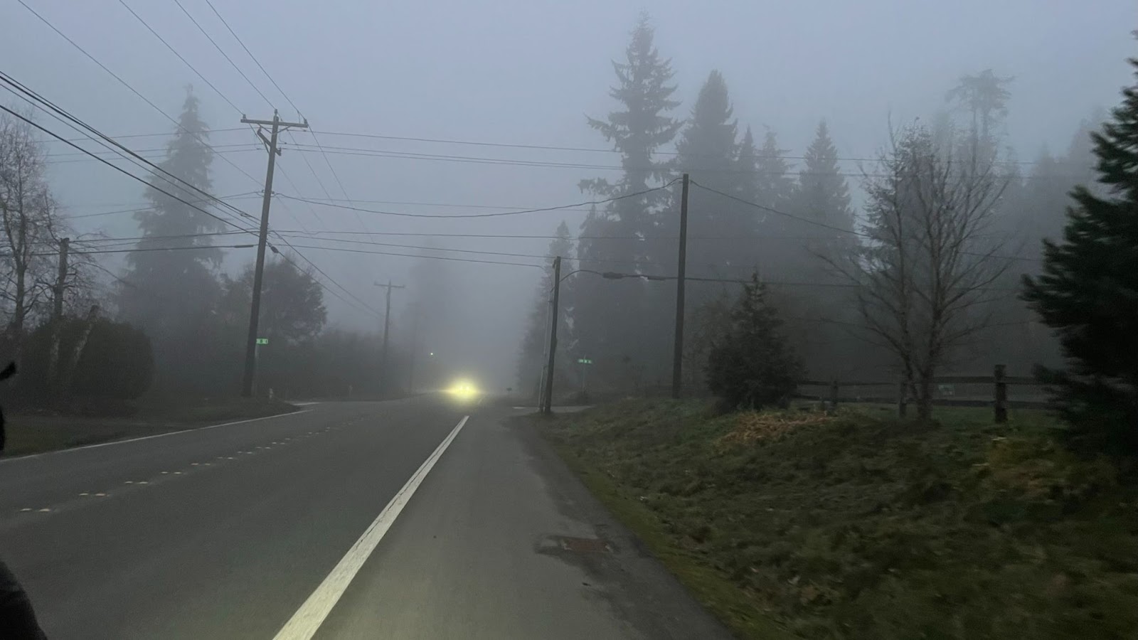
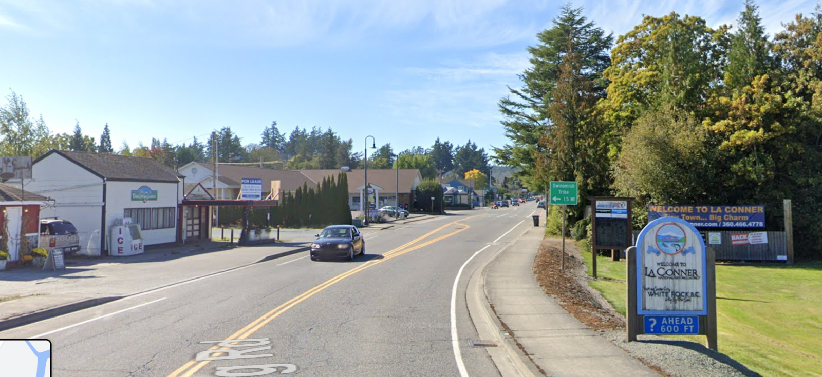
This route may be the most remote in SIR’s inventory. Once you are out of sight of US-12 there is no cell service until Trout Lake. The Trout Lake store has wifi. At Eagle Cliff (Northwoods) Verizon customers will have roaming service. That is all! This ride is like traveling back in time when phones were wired and a fully-instrumented bike had an odometer, except you get to take your gps.
If you have any doubts about finishing you need to have a sag plan. Due to covid the volunteers will not pick up riders. You need to have your own driver and car. I suggest sag drivers wait at Trout Lake and then Northwoods (Eagle Cliff store), and only search for a rider who is significantly overdue or has sent a distress message via a tracker. Because of dust and congestion I request drivers not to drive the route unless actually searching for a rider. That will preserve the splendidly isolated and pristine experience for the riders.
A personal tracker is highly recommended. Please join the SIR Spotwalla page if you have a tracker so we can see where you are. Join the page here: https://new.spotwalla.com/lp/b77d-14c1c19-3fa7/join To track riders go here: https://new.spotwalla.com/lp/b77d-14c1c19-3fa7/view (Thanks to Gary Prince for setting up the page.)