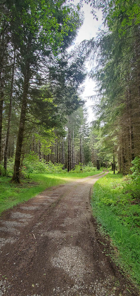
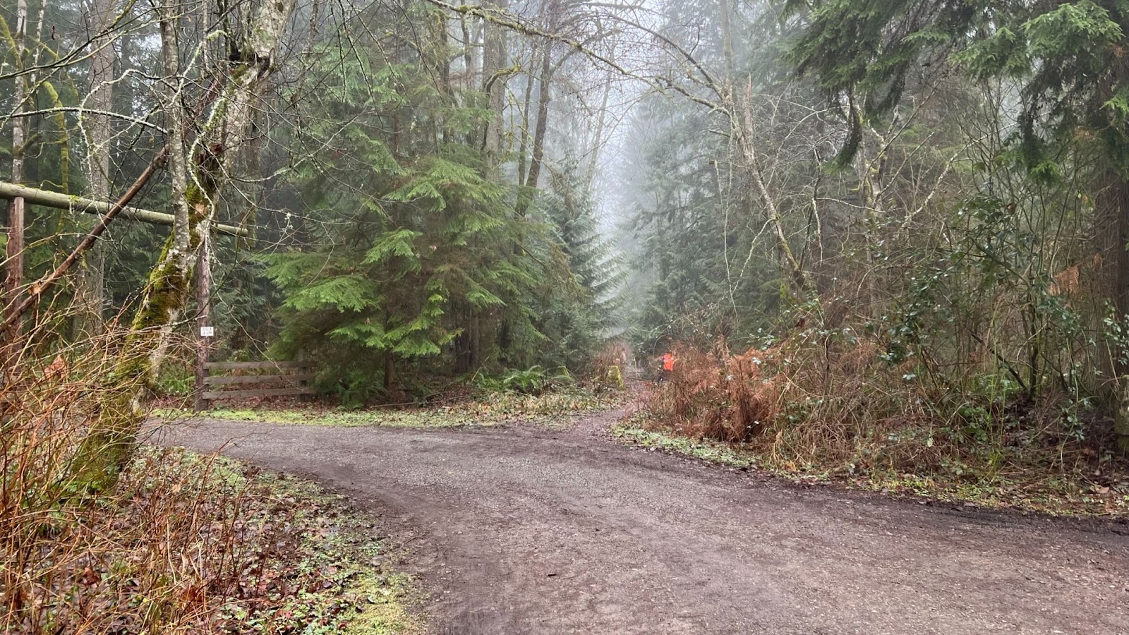
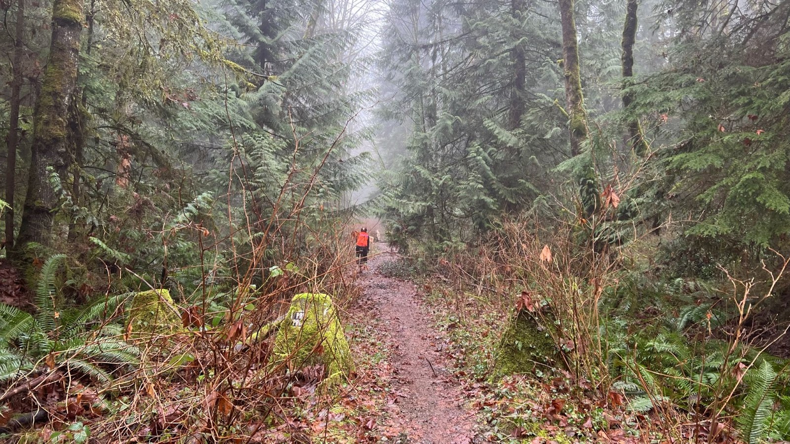
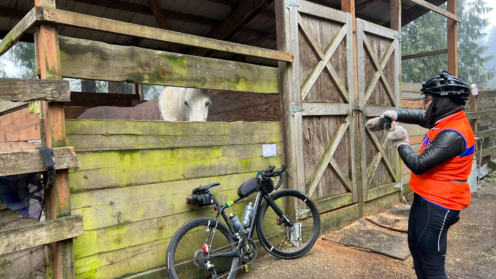
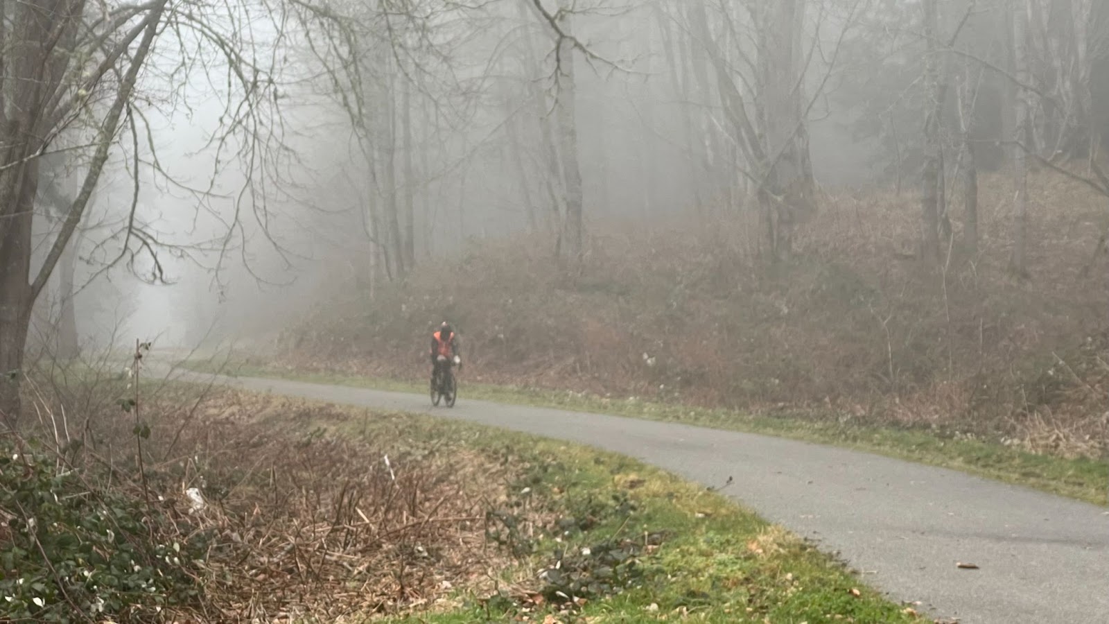
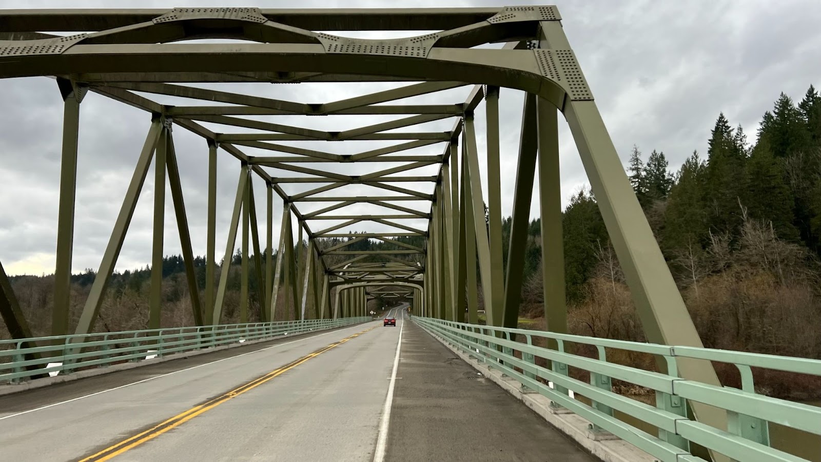
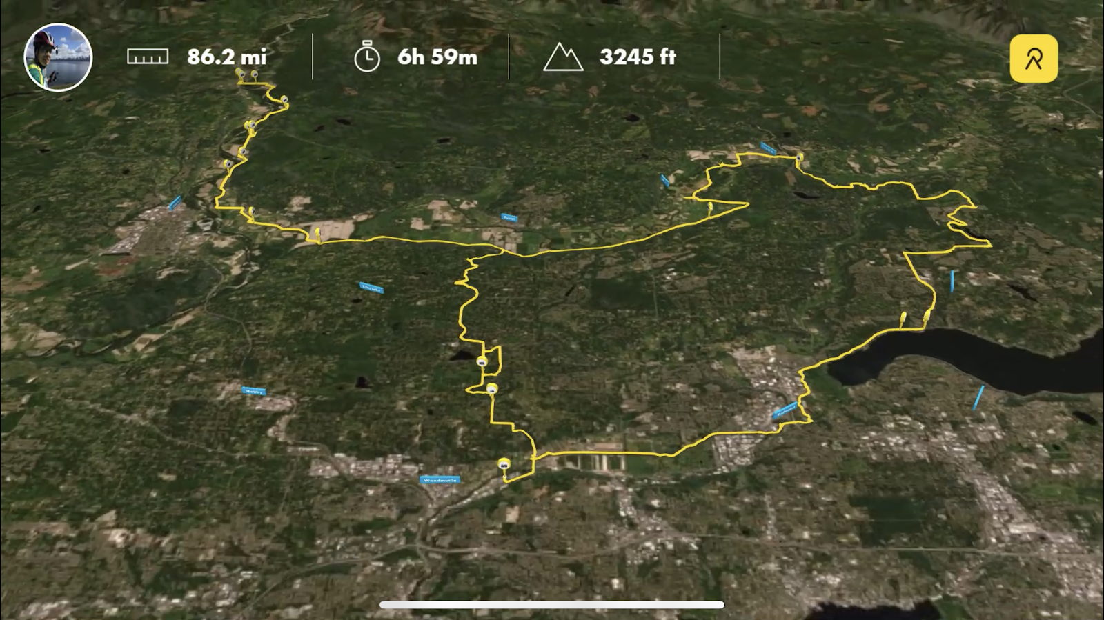
The Iron Horse Trail is always a pleasant refuge from car traffic and should not disappoint. After a couple of blocks in North Bend the route is entirely on gravel. There are several pit toilets and portable toilets along the trail. Water is only available at Hyak. No food or support is available on the route.
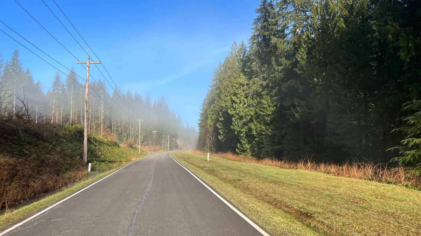
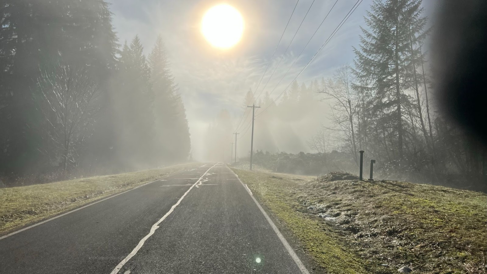
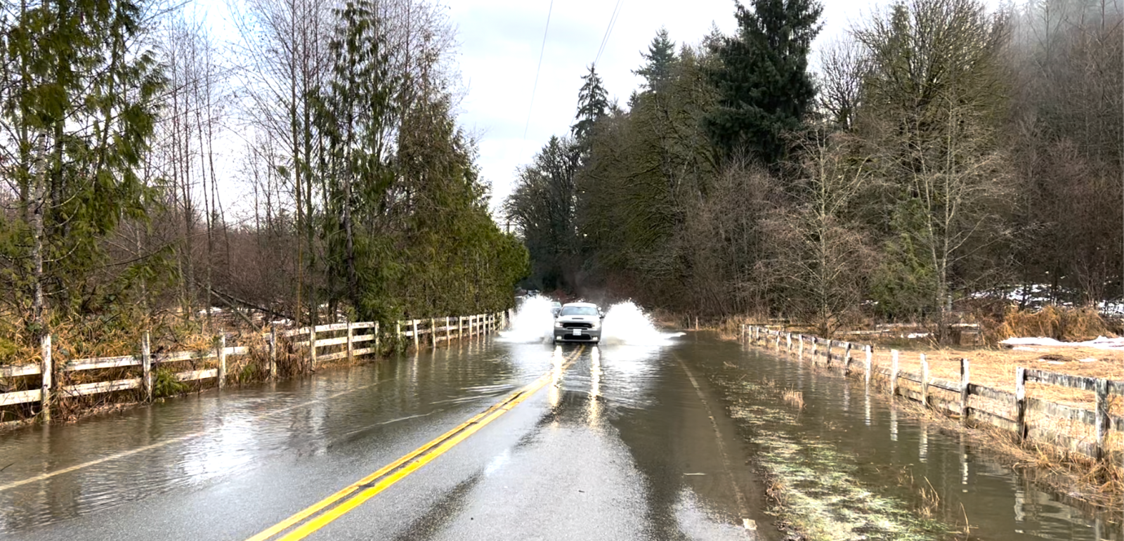
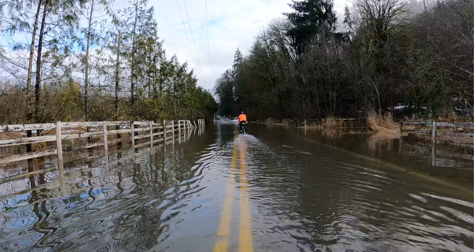
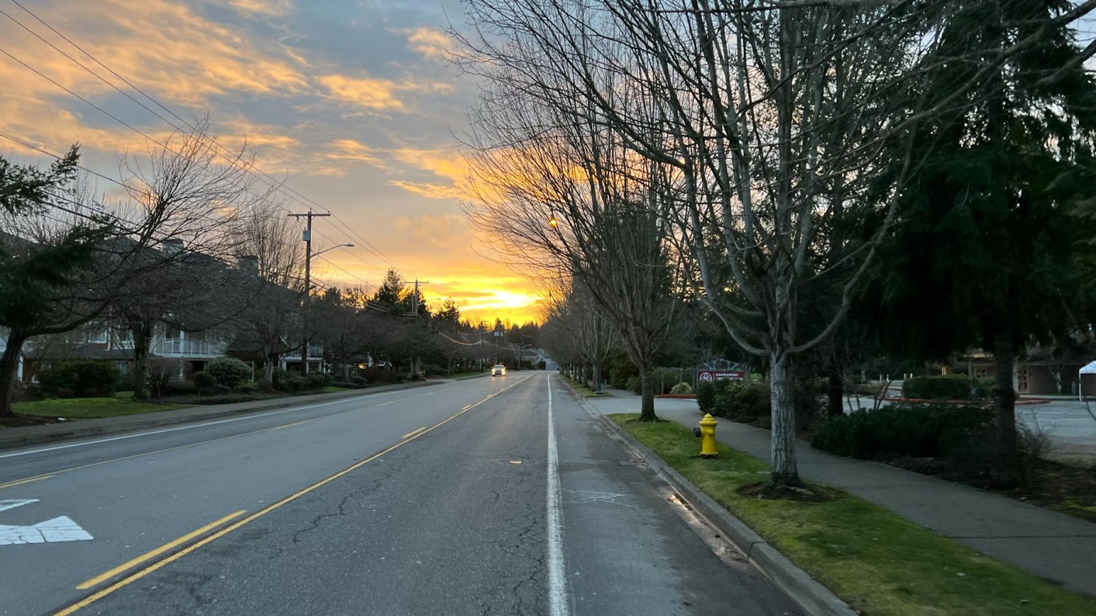
Wildflowers are still in bloom. Boxely Creek is running unusually high and noisy for this time of summer.
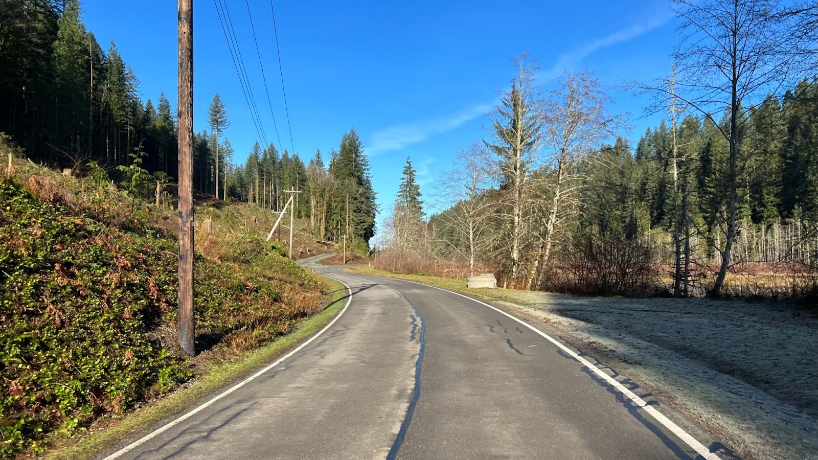
Most of the route west of the tunnel is protected from the sun, winding along the shaded south side of the valley above I-90. East of the tunnel there is very little cover. Expect full sun exposure for those 10 km. Typically a westerly wind builds throughout the day. You will probably get hit with headwinds in a few exposed spots on the way back.
The shaded area at the west tunnel portal is a good place to stop for a snack. On the east side you will be in full sun.
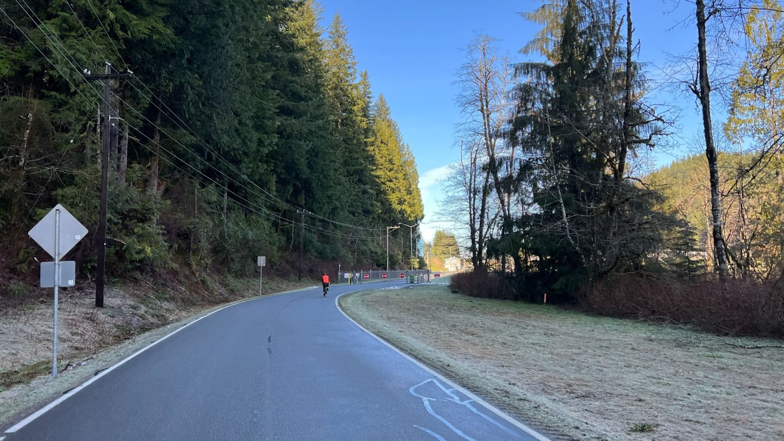
Expect all pedestrians to have ear pods screwed into their ears, and all dogs to be loose. The trail is popular with families so be cautious around small children. Many cyclists on the trail seem unfamiliar with passing conventions, such as ringing bells and calls of “On your left.” Be careful.
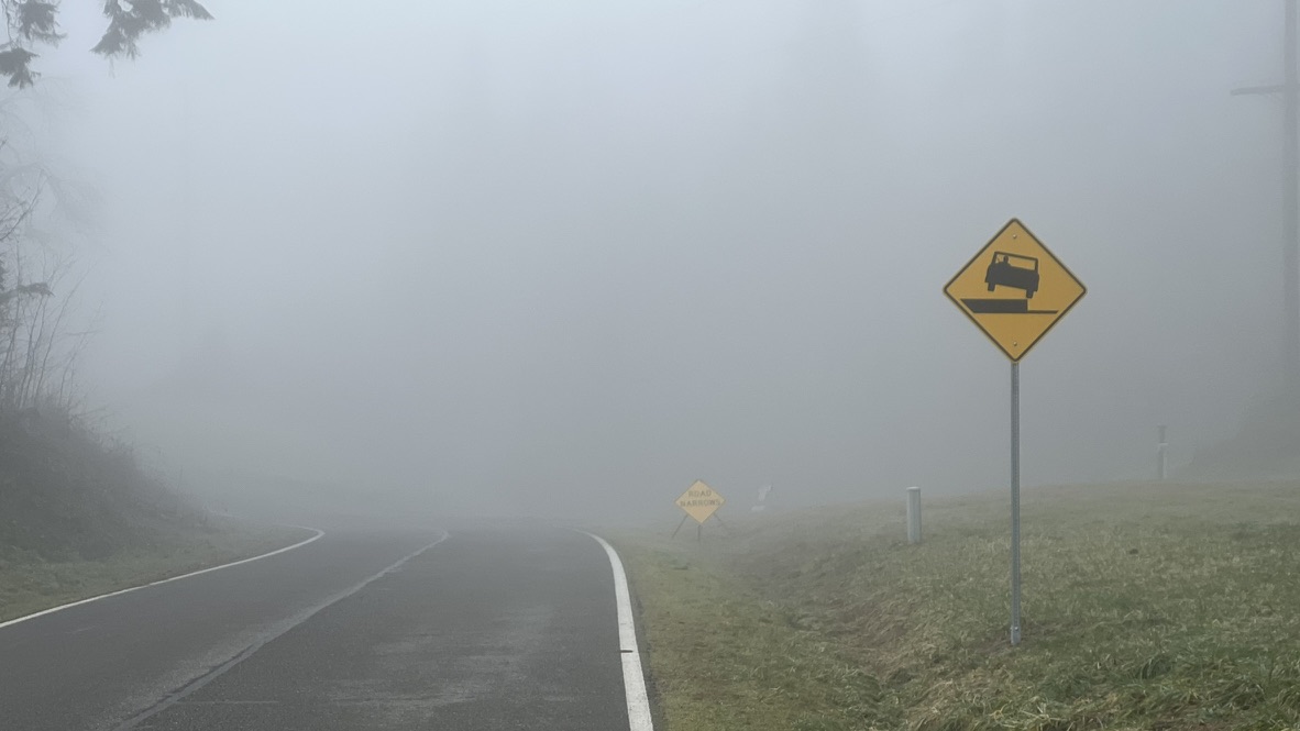
The trail is in very good shape, but being gravel you must always watch for holes and loose spots especially when descending. The east end of the tunnel is very rough.
Inconvenience at Hyak
If you have not been at Hyak recently (at the east end of the tunnel, 46 km into the ride), there is some irritating news: The water spigot on the restroom building has been removed. Water is only available in the restroom sinks, which is kind of gross. And the sinks do not fit larger water bottles! My 24-ounce bottles would not fit under the faucets. Bring a 16-oz bottle if you intend to refill at Hyak. I did the ride with three 24-oz bottles but would have liked another. Address complaints to the Washington State Parks Recreation Commissioners and Directors’ Office infocent@parks.wa.gov.
The Tunnel
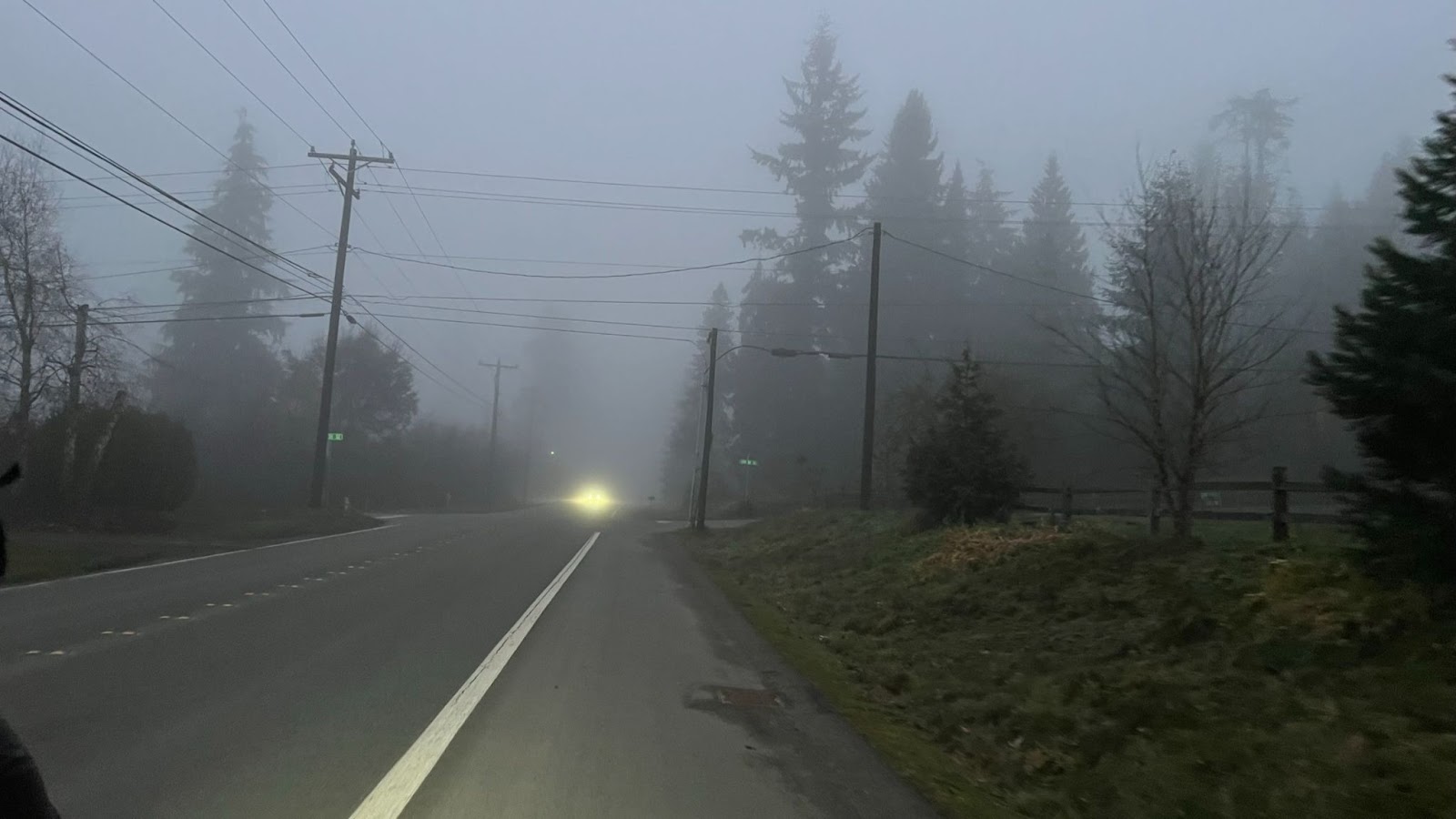
A unique highlight of this route, the Snoqualmie Tunnel is over 3 km long. It has no artificial light. It is profoundly darker than any night riding you have done! Full night riding gear is required: good headlight, tail light, and reflective vest. A headlamp is recommended in case you have a mechanical inside the tunnel. Expect other tunnel users to have inadequate, inappropriate, or zero lights and reflective clothing. Ride cautiously, it is hard to judge distance inside the tunnel. Do not use a flashing tail light in the tunnel.
Riding into the tunnel can be disorienting. Stop for a minute and let your eyes and brain adjust to the darkness.
The tunnel is very cold! The air typically cools as it blows from the west to the east portal. Don a jacket before you enter the tunnel.
Time for Gravel!
RUSA recently implemented a new timing rule for gravel brevets and populaires. 20% additional time is allowed on unpaved segments over the time allowance for pavement. In other words, the minimum speed on gravel is 12 kph vs 15 kph on pavement. (Technically the rule is 1 minute additional per gravel kilometer.) Additionally, gravel distance will be logged as part of your RUSA record. The maximum speed remains unchanged from 34 kph (which inconveniences control workers with 20% longer hours).
The time allowance for this ride is 8 hours and 29 minutes. Which should not encourage you to slack off: I can tell you riding uphill for 50 km even on tame rail-trail gravel is a fair bit of work!
Gravel timing does not apply to ACP-sanctioned brevets.
Presently gravel timing does not apply to RUSA permanents. Because permanents are free-route there is concern a person could free-route on parallel paved roads while taking advantage of the relaxed gravel time limit. Email the RUSA board with your ideas for addressing this problem: board@rusa.org
Comments Off on Iron Horse Trail Populaire Pre-ride Report
Preriders: Yonnel Gardes, Robert Giglio, Bill Gobie, Aaron Jones, Keith Moore
Crashers: Bill Gobie, Keith Moore
Tower Rock
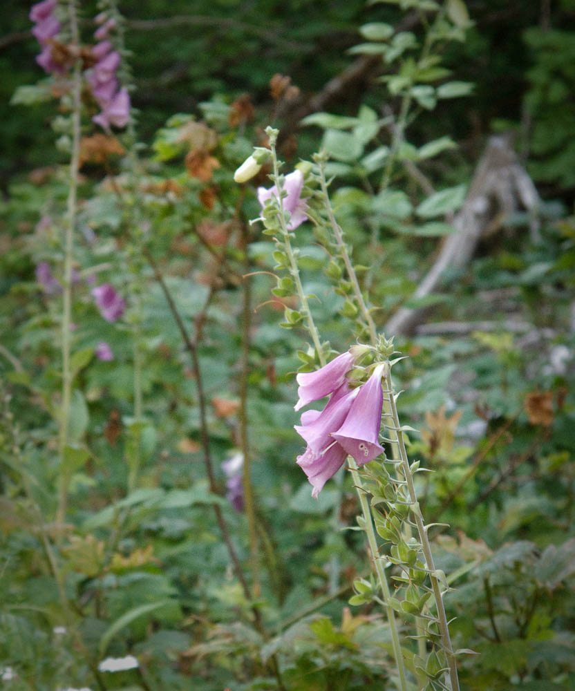
From foxgloves to towering cedars to enormous volcanoes, scenery abounds at all scales on this route. Waterfalls, lakes, marshes and creeks tempt you to linger, but mosquitoes and biting flies will impel you onward! Pray you don’t get a flat!
Abundant also is climbing. Climbing, climbing, climbing! 14,000 feet of it in long alpine ascents plus the occasional vertical wall. Where climbing abounds so does descending. On some stretches you may reach 50 mph, on others you must brake the whole way down. In recognition of the challenge of reaching controls atop alpine climbs, time limits at the staffed controls at Takhlakh Lake and 240 km will not be enforced. That doesn’t mean you can take it easy! And note this route is 13 km longer than 300k. The minimum pace to finish is 15.7 kph.
Gravel
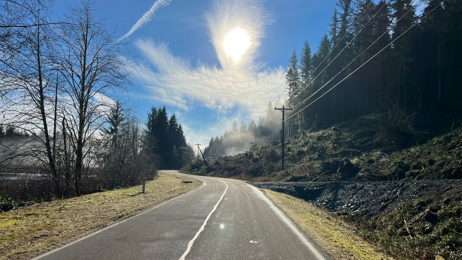
12% of the route or 37 km is gravel roads in four main segments, plus short patches of gravel in otherwise paved roads. Much is not tame gravel like the Iron Horse Trail or the better roads in local private forests. Potholes, soft patches, rocks, and slippery surfaces abound. Hazards are too numerous to enumerate in the cues. Only the most surprising hazards are noted in the cues. You must ride prudently within your abilities.
Tires at least 35 mm wide are recommended, and wider should be better. Moderately knobby tires might be desirable for better traction on gravel, but remember 88% of the route is pavement where knobbies might slow you down and impair high speed handling. As historical perspective, 12-15 years ago 32 mm was a wide tire and people were negotiating these roads.
Water
Hydration is imperative on this ride! You must remain well hydrated to tackle the climbs. Between the exertion and time spent climbing and dry air at higher altitudes, expect to consume a lot of water. Three bottles at minimum are recommended. Water is available at the six intermediate controls on this route. Most people should be able to reach the second intermediate control at Adams Fork Campground before needing water thanks to cool morning temperatures and only moderate climbing. From Adams Fork I recommend you leave each control with every bottle full.
Adams Fork Campground has a water pump located at the far end of the campground loop from the entrance. Pumping water works best with two people: One to pump, the other to fill bottles. Pull the button up to dispense water from the spigot under the pump. If you are alone, pump to fill the reservoir until water gushes out the overflow below the pump, then quickly fill bottles from the spigot.
Lift the button
Food
Apart from the staffed controls, food is available in Trout Lake at the cafe and the store. Eagle Cliff has a store which closes at 8 pm and pizzas available until 7 pm (roughly when a timed control would close).
Bail out
At Takhlakh Lake take stock of your condition. You will have finished the most difficult and highest climb on the route. Fatigue and dehydration will make the remaining two climbs equally if not more difficult. If you go forward from Takhlakh Lake DNFing will be extremely difficult unless you have a sag driver waiting. At Takhlakh Lake you can bail out relatively easily, returning toward Randle on NF-23. Note this is a gravel descent and carries most of the car traffic between Packwood and Trout Lake (which is why this version of the route does not use NF-23) and has not been scouted. Be sure to inform the control workers at Takhlakh and Packwood if you decide to DNF. Route: https://ridewithgps.com/routes/40258450. Load this on your gps (or print a cue sheet) before leaving home. There is no wireless service at Takhlakh Lake.
Safety
Ouch. Now I see the pothole.
Good lights and reflective gear for night riding are required. There will be a bike and equipment check. No shiney, no ridey.
Your brakes need to be in top shape. 14,000 feet of alpine climbing means 14,000 feet of alpine descending. Much of the gravel requires continuous braking. Speed control is imperative on the twisting descents, particularly NF-25 after Elk Pass. Brand new brake pads and good adjustment are highly recommended. Check that your rotors are within spec. I have manually-adjusted disc brakes and noticed significantly increased lever travel (pad wear) by the end.
I highly recommend pairing up with a buddy. Do not lose sight of each other. A 911 emergency response will take hours, and maybe overnight. County names have been added to the cues to help 911 route a call to the correct agency. Your best option is not to get injured, and if you do, make your way prudently to the nearest populated place (Trout Lake, Northwoods, Randle, Packwood).
This route may be the most remote in SIR’s inventory. Once you are out of sight of US-12 there is no cell service until Trout Lake. The Trout Lake store has wifi. At Eagle Cliff (Northwoods) Verizon customers will have roaming service. That is all! This ride is like traveling back in time when phones were wired and a fully-instrumented bike had an odometer, except you get to take your gps.
If you have any doubts about finishing you need to have a sag plan. Due to covid the volunteers will not pick up riders. You need to have your own driver and car. I suggest sag drivers wait at Trout Lake and then Northwoods (Eagle Cliff store), and only search for a rider who is significantly overdue or has sent a distress message via a tracker. Because of dust and congestion I request drivers not to drive the route unless actually searching for a rider. That will preserve the splendidly isolated and pristine experience for the riders.
Hotel Packwood is open after completing renovations. The entire hotel has been reserved for SIRs for July 22 & 23. Call and book a room directly. Say you are with SIR or Seattle Randonneurs. We will have use of a common room for storing bikes if we take all the rooms. Unused rooms have to be released on July 17. Their phone system may not be taking voicemails yet. Keep calling. Phone numbers:
Main hotel: 360-494-5431
Kate Bagwell personal phone (handles reservations): 360-801-5596
The route has been updated due to construction closure of road 23. The reroute adds 17 km of gravel, bringing the total to 53 km of gravel. The reroute is slightly longer than the bypassed section of road 23 which allowed cutting the route down to 300.3 km from 314. The route will be slightly slower for fast riders and more doable for slower riders.
The finish control has been moved to Hotel Packwood.
This is undoubtedly one of SIR’s most scenic routes. Even with the weekend’s damp forecast this should be a very enjoyable ride.
Susan Otcenas generously shared her Cascade 1400 pre-pre-ride intelligence, specifically regarding hazards.
The most dangerous spot on the course is at 327.9 km / 203.8 mi where you will find the Danger cue: “STOP FOR STOP SIGN.” This is on a downhill 7 miles from the overnight in Forks. The entire right side of the road is washed out. The washout is surrounded by concrete barricades. At night the glare from the stop sign may prevent you from seeing beyond the stop sign. If you blow past the stop sign you will crash headlong into the concrete barricade. Stop and orient yourself before proceeding!
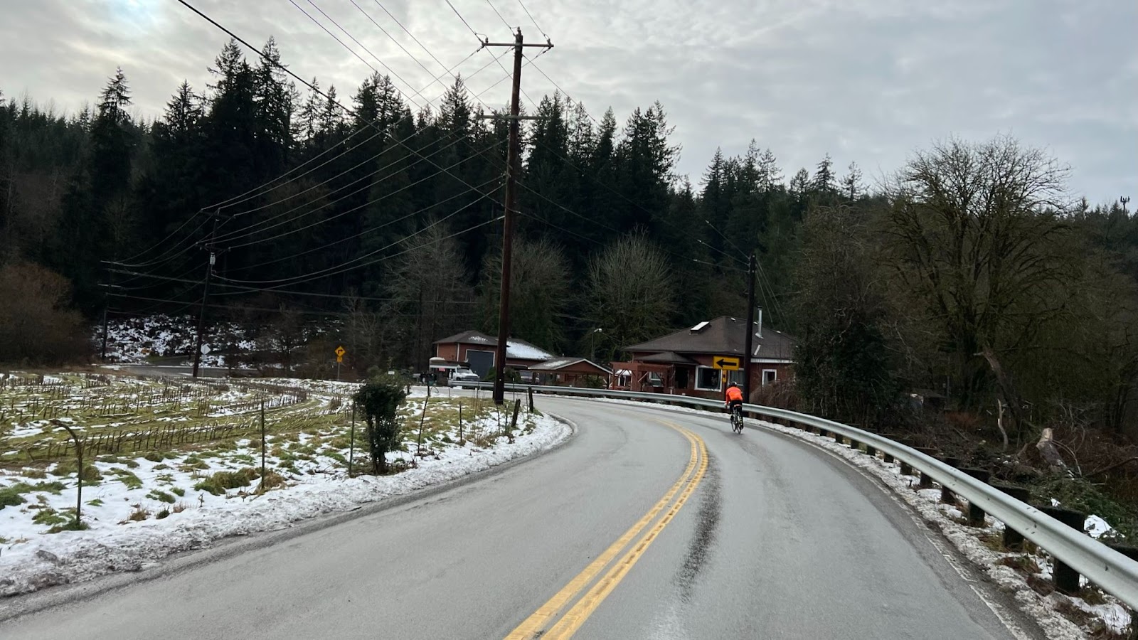
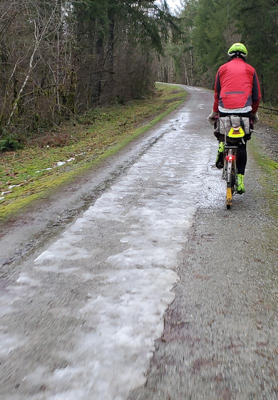
The gravel portions of the route are in terrific shape. The surfaces are very hard with generally little loose gravel. They resemble rough pavement with a few potholes. The steep climbs on North Shore road may be slippery with the weekend’s rain, but they are short and quick to walk. I have never seen Cougar-Smith Road in such good shape. The large potholes that frequently lurk in the shade after the bridge at the beginning of the gravel section are filled. It is a good idea to slow down for the bridge regardless since the tall joints on the bridge could pinch-flat your tires.
Please familiarize yourself with the parking directions if you are joining the ride via the Fauntleroy (West Seattle) ferry. https://blog.seattlerando.org/?p=2100
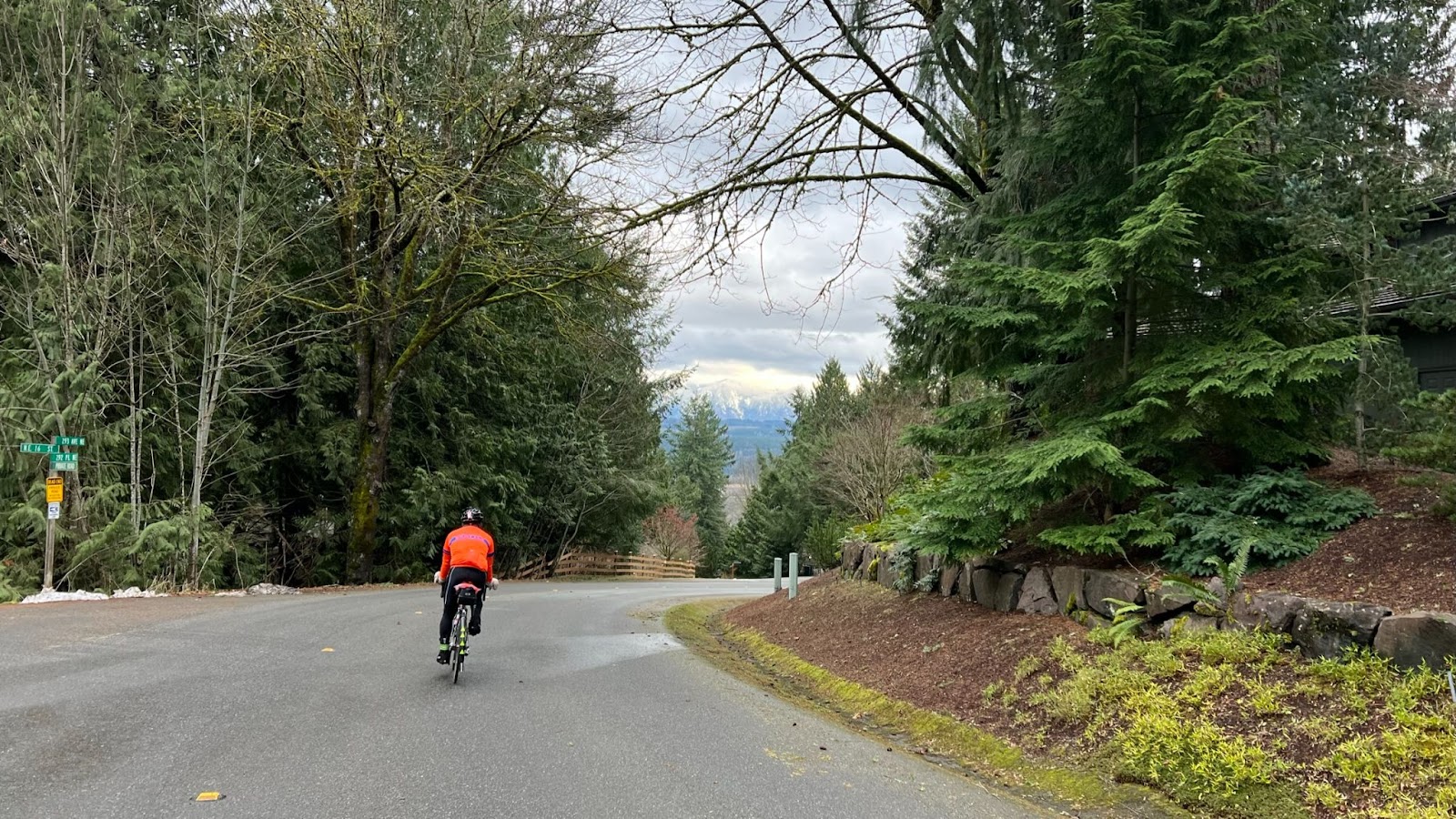
The prehistoric glaciers that carved Pugetlandia’s topography did cyclists no favors, nor did the road engineers who built strait up and over every ridge. Don’t expect to make good time on the initial leg to Belfair. The first timed control is 340 km away in Forks, plenty of distance to build up time in the bank. At the left turn onto WA-3 before Belfair please wait for a safe break in traffic on highway 3.
After Belfair your speed should pick up as you roll along on WA-108 beside the Hood Canal. If the Canal’s cold saltwater makes you chilly, you should find relief on the stiff climb up Dalby and McCready Roads past the first info control at a gas station. After another climb on US-101 we turn west on rolling relatively flat roads past the Dayton store (no restroom) and onward to another info control at the Matlock store (good restroom).
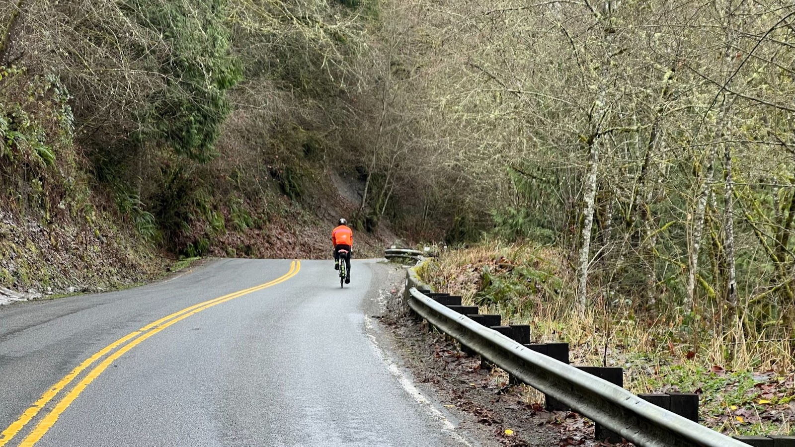
From Matlock the roads undulate downwards through beautiful forest, finishing with a screaming descent to the bridge before the gravel section of Cougar-Smith Rd. Take it easy on the bridge. I can confirm Cougar-Smith’s climbing remains steep.
A road not taken along Cougar-Smith
After Cougar-Smith Rd we generally descend through Aberdeen Gardens and climb only slightly to Humptulips at 167 km. Gentle climbing continues until the route tips into the Quinault Valley and you zoom to the small resort settlement. For resupply skip the Chevron station, it has almost nothing. The Quinault Mercantile store is open although its restaurant is not. Slightly ahead the Rainforest Resort store is also open but with less selection.
The route continues up the Quinault Valley on South Shore Road. I believe this is the first time we have run a ride up the valley. This is one of the prettiest portions of the route in my opinion. After passing through open farm and pastureland you will cycle into dense forest where the ferns and moss suggest old growth. The trees are too small, however. The easy terrain probably allowed logging the original forest long ago. Nevertheless the regrown forest is marvelously lush. Watch and listen for Merriman Falls on the right.
Both my Wahoo and phone gps lost navigation lock in the narrow valley under the dense trees. If yours does too, carry on anyway. There is only one bridge across the Quinault River, and one road out on the other side. You will find them. From the bridge you can gaze upriver into the interior of the Olympic National Park.
Quinault River Bridge
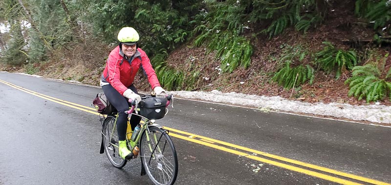
North Shore Road feels more wild than South Shore. It is narrower and considerably steeper in places. Take care if the forecast rain makes it slippery.
North Shore Grocery at the intersection with US-101 is an important resupply point: It is the last supply for the remaining 100 km to Forks. The store closes at 10 PM. This is roughly the same time a person riding at the minimum pace would arrive, so it behooves you to beat this time. This is a good location to don your night riding gear if sunset is at hand.
Turning north on US-101, the shoulders are often poor or nonexistent. You should ensure you are highly visible for this portion.
At 266 km the route turns onto Clearwater Rd, becoming Hoh Mainline Rd. After passing through the bucolic hamlet of Clearwater, where you may sight elk in the fields, the road begins a relentless climb punctuated by small descents. There are four patches of gravel, 20-50 yards long, along here. They are noted in the cues. They may be difficult to see in the dark. After passing the brightly lit Olympic Corrections Center (don’t stop!) you will crest a second summit on Hoh Mainline and then speedily descend to US-101.
After crossing the Hoh River you have to climb out of its valley until cresting at about 324 km. On the descent beware of the dangerous barricade at the washout at 328 km. Finally some minor climbing that felt Everest-like will bring you to Forks and the overnight. Be sure to check in at the Forks Motel control even if you are not staying there. Fast riders may want to continue to the First Beach control, then return to their lodging in Forks for the night.
For many people the second day will begin with the plunge to sea level at scenic First Beach. From there the longest climb on the route takes you to the rim above Crescent Lake. Along the way the route turns onto a relatively new portion of the Olympic Discovery Trail at Mary Clark Rd. This quiet road and trail winding through dense forest also is one of the route’s gems.
Olympic Discovery Trail
The trail crosses US-101 and twists upward and then down through more forest on its way to the junction with the Spruce Railroad Trail. A long, easy descent ensues to the shore of scenic Lake Crescent.
The sojourn along Lake Crescent ends too soon and you have to climb a low pass over to Joyce, where a meal at the Blackberry Cafe is highly recommended.
After a run along WA-112 the route turns off to cross the Elwha River on a unique cycle bridge slung underneath the road bridge. Do not miss the turnoff for the bridge! The Olympic Discovery Trail resumes and you follow it into Port Angeles.
Once through Port Angeles, where there are numerous resupply and dining options, you leave town alongside salt water on the Olympic Discovery Trail, where you may get hit with salt spray if the weather is rough.
Next comes — can you guess — another climb, albeit short. The route gets on US-101 to avoid a hazardous, slippery portion of the ODT. A “Landmark” cue alerts you to the impending poorly signed left turn onto Old Olympic Highway. Avoiding construction on the ODT, we continue on roads all the way into Sequim, where there is a Safeway and numerous fast food options.
Once out of Sequim the route takes the ODT through Sequim Bay State Park, past Blyn, and almost all the way to Discovery Bay. For many riders this will be the first time on the very new portions of the ODT from Blyn to Discovery Bay.
There is little choice but to tolerate noisy, busy US-101 all the way to the Hood Canal Bridge. At least the shoulders are generally good. On the Hood Canal Bridge stay right on the solid panels on the grated bridge decks.
From the Hood Canal bridge turn left and pass through storybook-pretty Port Gamble. The Port Gamble General Store and Cafe is open until 6PM. Find it by turning left off-route where WA-104 makes a sharp right.
From there the route makes a beeline to the finish at the Quality Inn & Suites Bainbridge. To reach the ferry for Seattle continue south on Hildebrand Ln, continue on the walking path onto Erikson and finally turn left on Winslow Way E. The last ferry on Sunday sails at midnight.
Comments Off on 2022 Spring 600 km Brevet Pre-ride Report
Historically this route has been based in Kingston or Bremerton. The only motel in Kingston burned down. The Seattle-Bremerton ferry is hobbled by crew shortages – with the reduced schedule the ride could not start before 9 AM, wasting almost four hours of daylight. Consequently this year the ride starts in Southworth and ends in Bainbridge. Starting in Southworth lets us begin at 6:15AM, almost an hour earlier than we used to start from other locations. Riders should spend less time in the dark reaching the overnight at Forks. All riders who finish in time will be able to catch a ferry from Bainbridge back to Seattle.
Separating the start and finish adds some logistical challenges. Recommended parking is at the West Seattle Park and Ride, aka Southwest Spokane St Park and Ride, under the west end of the West Seattle high bridge. Drop bags will be collected at the P&R. Riders will need to ride to the Fauntleroy ferry terminal, about 3 miles away including a climb up Avalon Way. Upon returning to Seattle you will need to ride about four miles from the Seattle ferry terminal to the Park and Ride, including a climb up the West Seattle low bridge.
Driving to the Park and Ride is not complicated. Unfortunately, online mapping services may not get you to the Park and Ride. Google Maps does not know how to drive the final 200 yards to the P&R entrance.
Please follow these written directions
For everyone: The P&R is only accessible from westbound SW Spokane St!
Once you reach the 5-way intersection at the west end of the low bridge:
Get onto westbound Chelan Ave SW.
The street turns slightly right and becomes SW Spokane St.
Get in the left lane
Go under the sign for Admiral Way
As the street starts going uphill look for the P&R sign and entrance on the left
Here is a video of driving from the 5-way intersection to the Park & Ride. Note that most of you will enter the intersection from the low bridge, which is on the right at the beginning of the video.
If you do not need to cross the lower West Seattle bridge: Use Google for directions to the Chelan Cafe. Then proceed as described above.
If you are coming from I-5, I-90, WA-99, or Beacon Hill/SODO: You cannot rely on Google Maps to give you an efficient route. It does not dependably account for the low bridge’s unrestricted hours. The low bridge is open to all users Friday, Saturday, and Sunday nights from 9PM to 8AM. Follow these directions:
From:
I-5 freeway take the exit for West Seattle Bridge. Driving southbound use exit 163A. Northbound take exit 163.
From 99 southbound take the exit for Harbor Island.
From Beacon Hill/SODO get on the West Seattle viaduct.
Once on the viaduct you will be forced down the exit for Harbor Island.
Proceed across the lower West Seattle Bridge
After the Port of Seattle Terminal 5 traffic light get in the middle lane
At the 5-way intersection make a wide left onto Chelan Ave SW and proceed as described above.
SIR is going to offer a form of Electronic Proof of Passage (EPP) for this weekend’s Spring 200 km brevet. This is a trial of the system. Anyone is free to participate or to continue using a brevet card instead.
The EPP method we will use relies on checking a gps track against the control locations. This is the only form of EPP that will be accepted.
If you choose to participate, you must upload your ride track to Ride with GPS. Then provide the link to the track on a Google Form. The form will be linked on the ride page on the SIR site. The deadline for submitting your track will be 5:00 PM Sunday. We will not send reminders to provide your track.
Everyone will be provided a brevet card at the start. At the finish you may choose whether to hand it in or inform the control staff you will be submitting a ride track. Failure to submit a track, or submitting an unusable track, will result in a DNF equivalent to losing your brevet card. While we are trialing the system we will work with riders to fix problems. You may use both methods if you like.
The system has been tested by roughly ten riders on two events with no problems. Feedback and testing with tracks from a wider variety of gps devices should help us improve the system, and decide whether to offer brevet EPP in the future.
Comments Off on Brevet Electronic Proof of Passage Trial
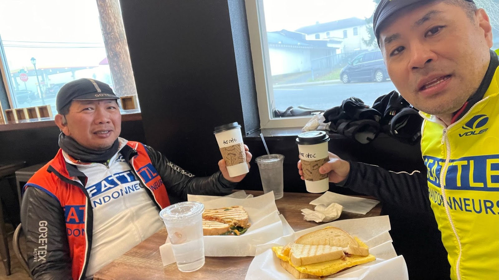
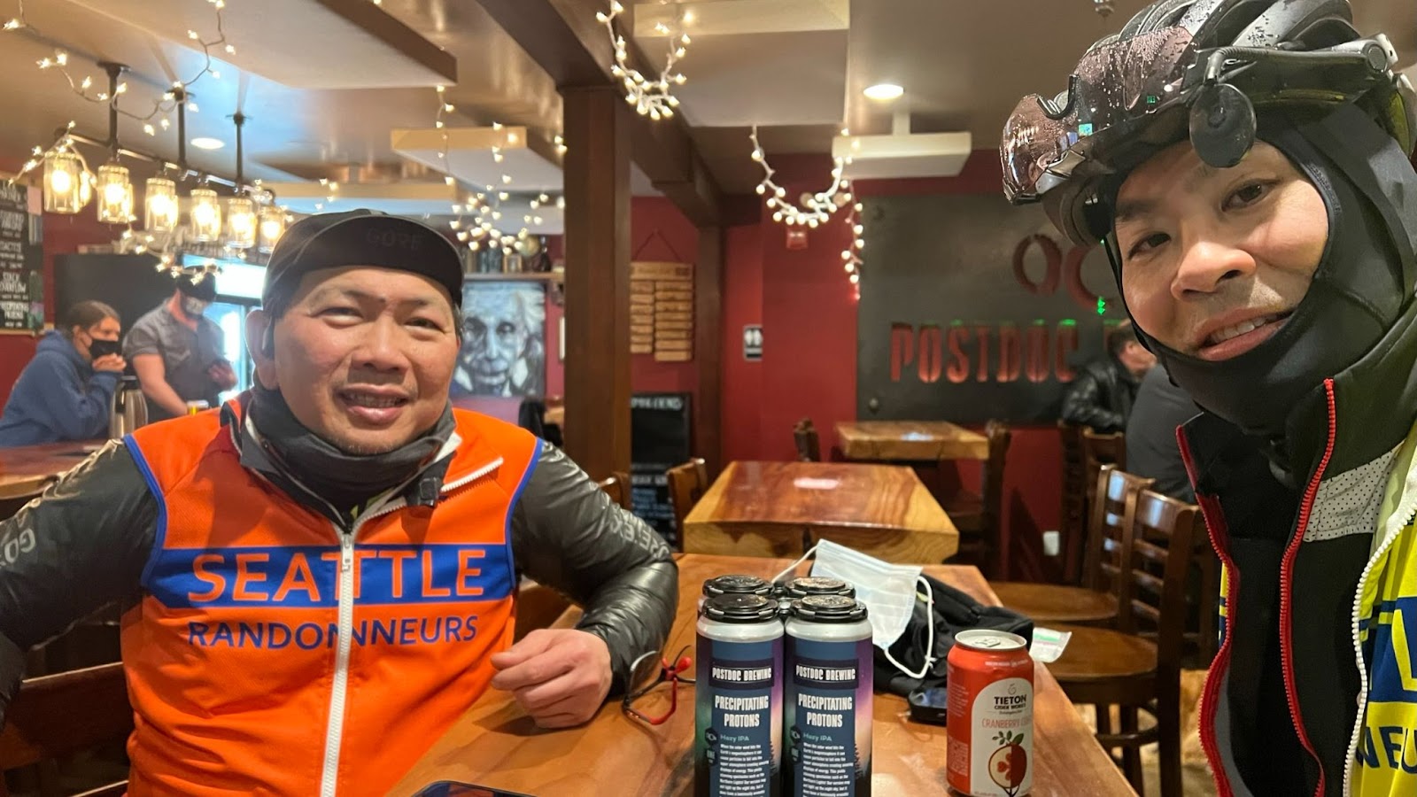
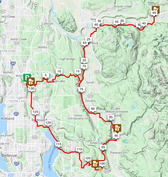
RUSA Brevet #2134 Redmond, Lakes, Falls, and Trails – features Peet’s Coffee, Granite Falls (multiple bakery, food, and coffee options), Postdoc Brewing Company
The route features low elevation (below 240 meters/790 feet) on rural roads.
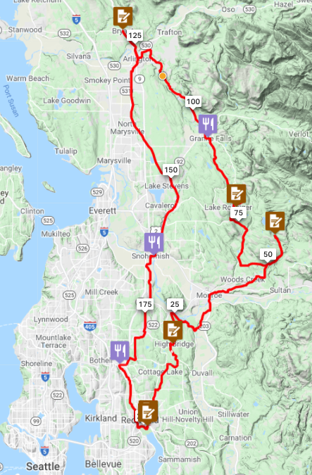
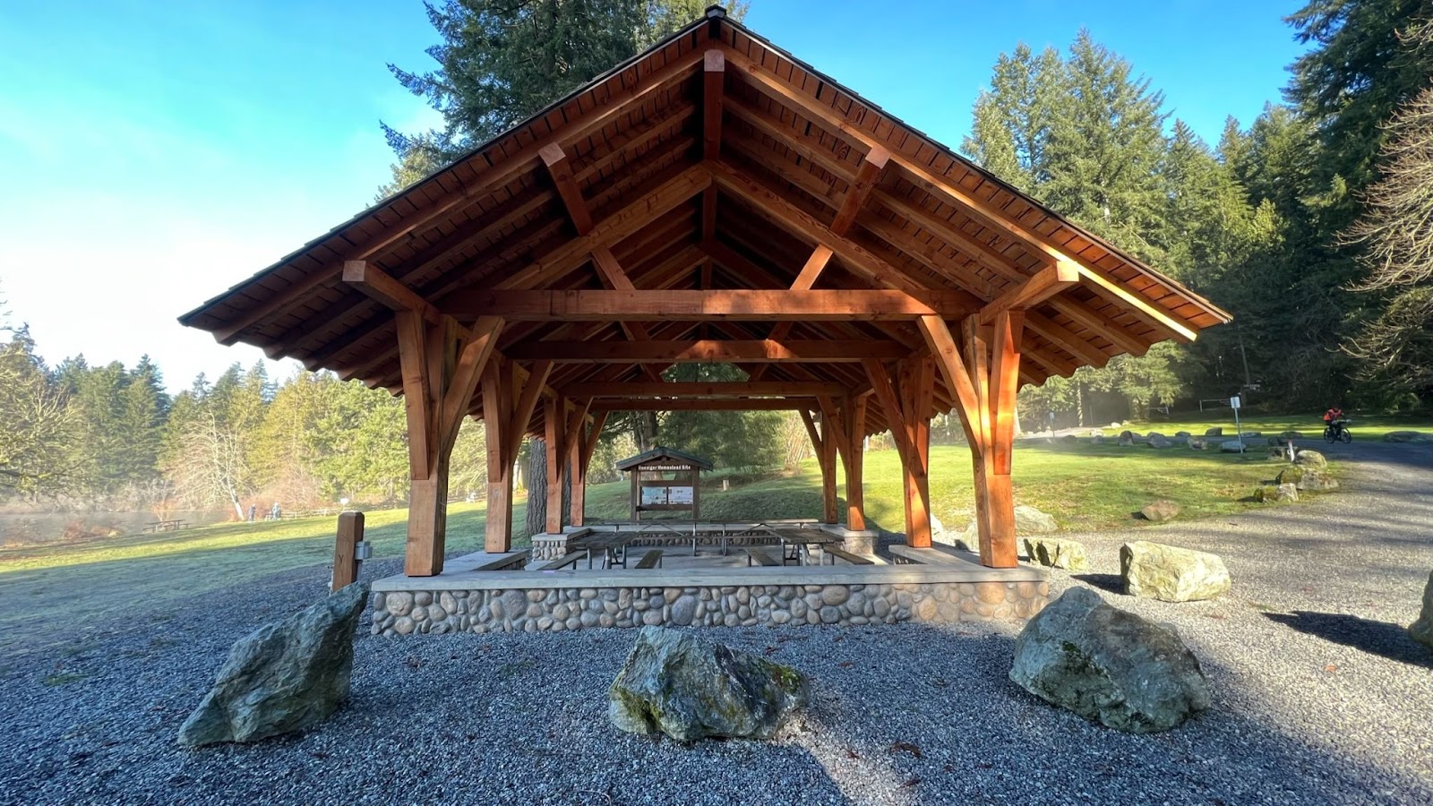
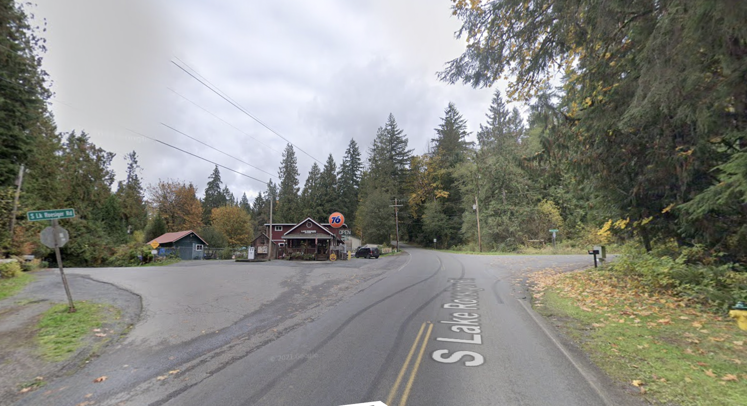
From the start in Redmond, make a gradual climb up to Echo Lake passing through a short gravel/dirt trail. Descend down to Tualco Valley and Monroe. Climb up rolling hills to Lake Chaplain. Follow it up with a rolling climb up to Lake Roesiger. Continue with a rolling descent down to Granite Falls with multiple food options (roughly the half-way point). Make a net descent across additional rolling hills out to Arlington. Take a short out and back to Bryant followed by the gradual railroad trail grades on the Centennial Trail to Snohomish. Make one more lumpy climb before finishing on the Sammamish River Trail back to Postdoc Brewing Company in Redmond. All of this packed in against a few scenic peeks of mountains in the distance.
Advance scouting: Mitch Ishihara, John Nguyen, Andy Sapuntzakis, Kevin Smith
Pre-Riders: Mark Thomas, Jan Acuff
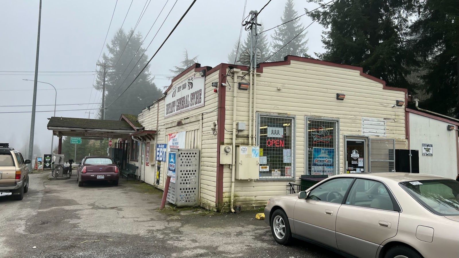
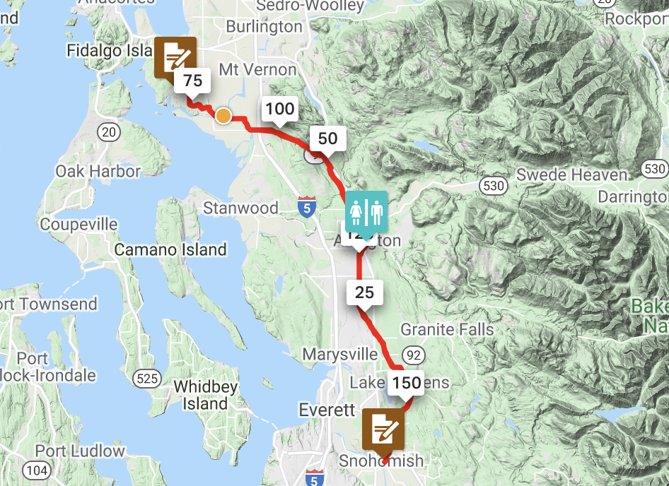
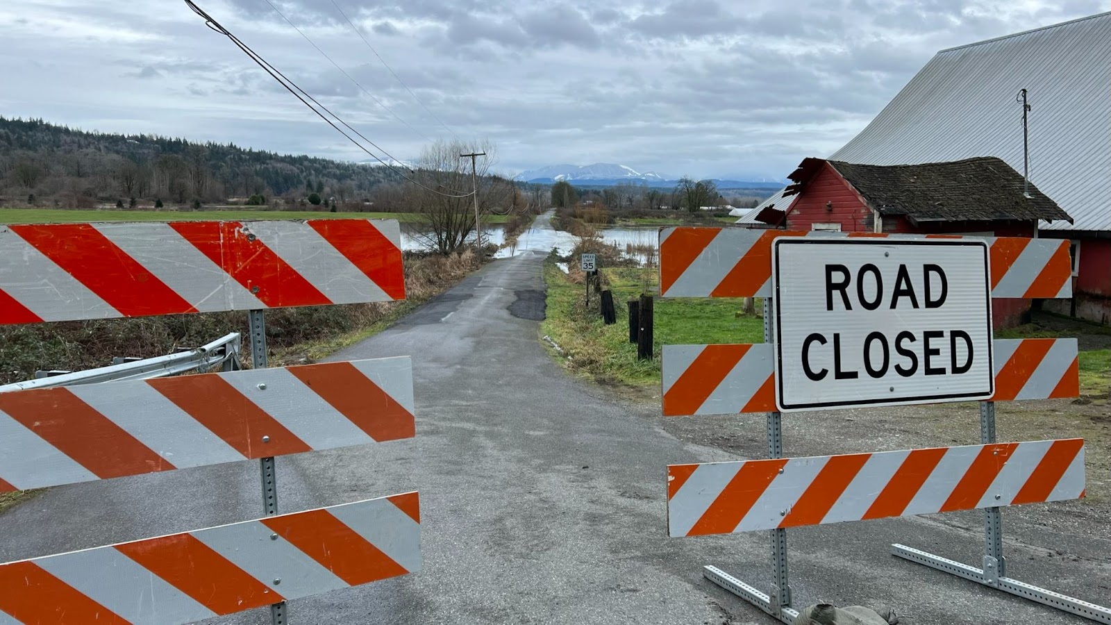
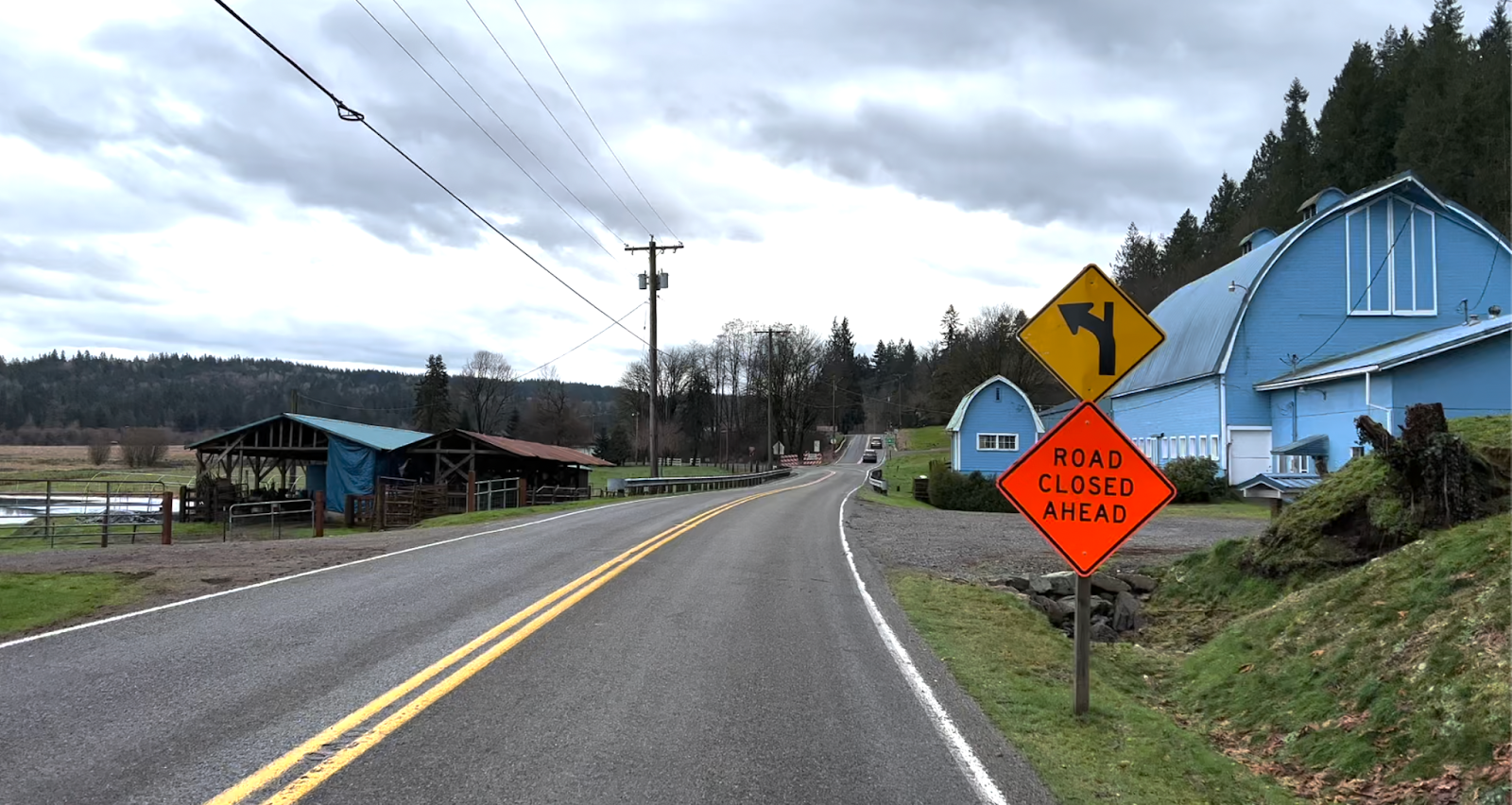
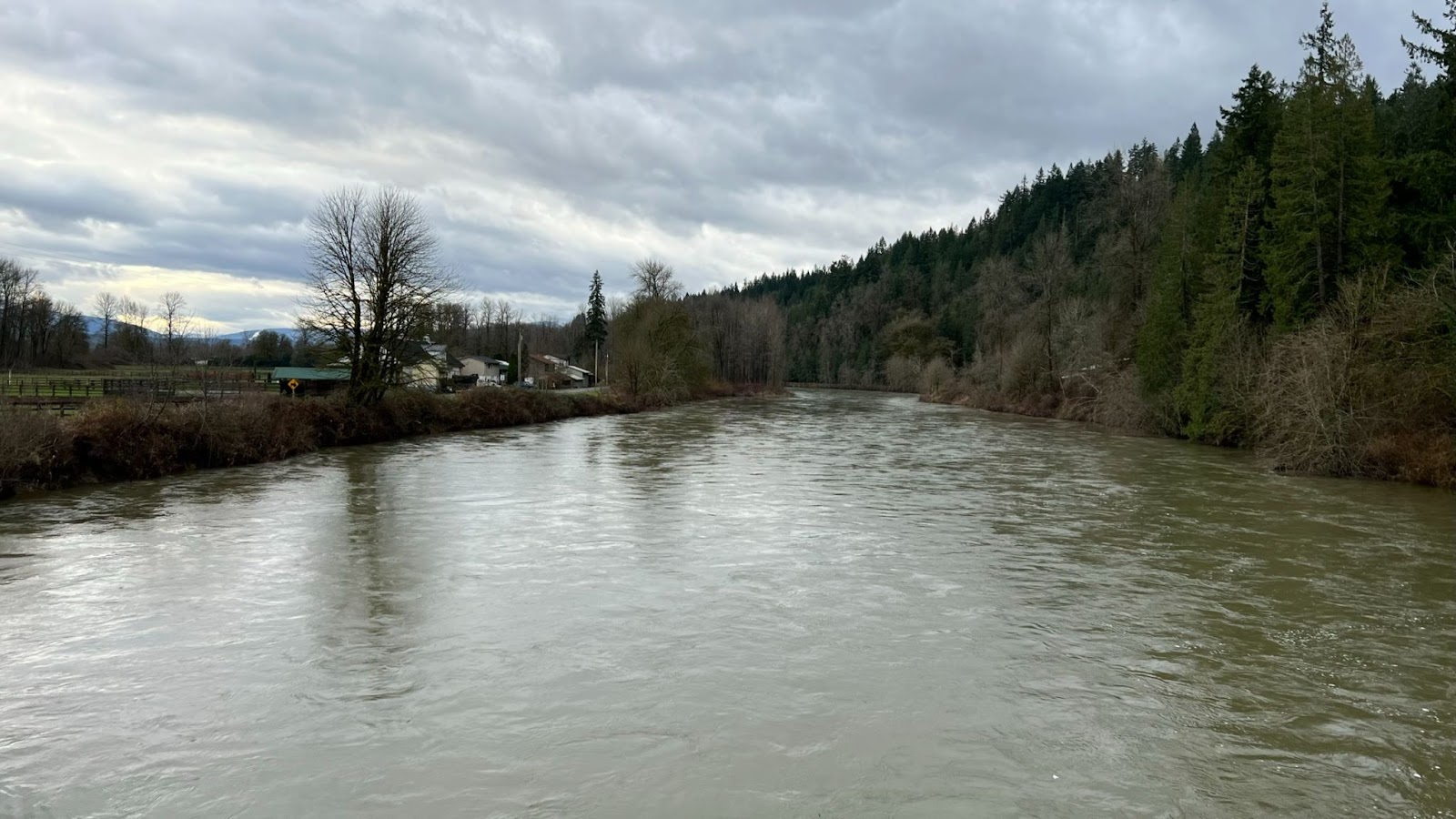
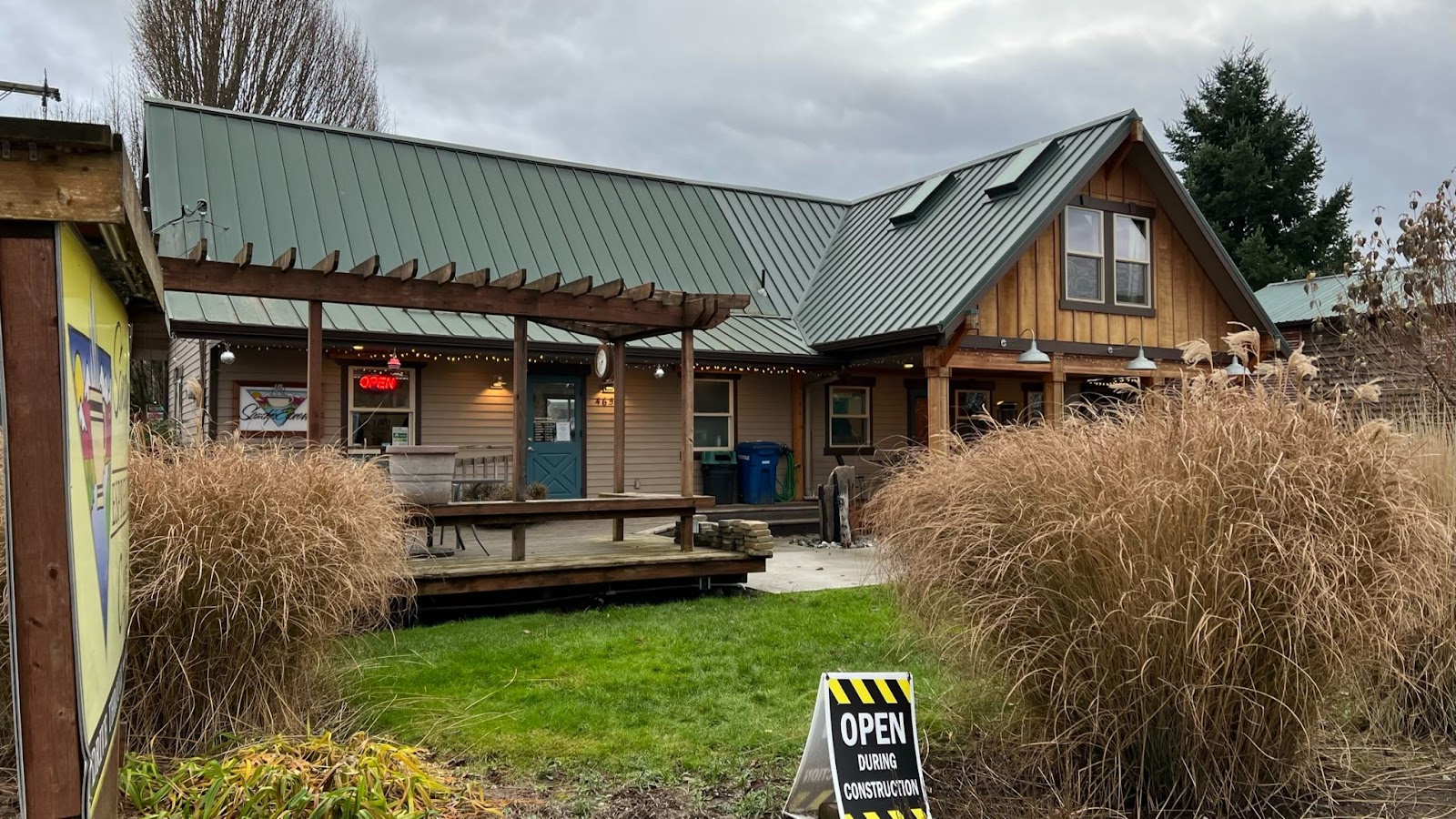
RUSA Brevet #2887 Snohomish – La Conner Out & Back – features Looking Glass Coffee (closed for remodel) outside Spada Farmhouse Brewery, La Conner (multiple bakery and coffee options), Spada Farmhouse Brewery
The route features low elevation (below 110 meters/360 feet), gradual railroad trail grades with flat farm pastures, on rural roads against a scenic backdrop of the Cascade foothills and maybe a peek of Mt. Baker.
From the start in Snohomish, make a gentle climb on the Centennial Trail until passing under the HWY 9 overpass. Descend down into Arlington for a restroom pit stop, coffee (off-route one block), or baked goods. Make another gradual climb past Lake McMurray before descending down HWY 534 to Conway. Meander across the flats out to La Conner, with a chance to see Bald Eagles perched in trees. Grab some baked goods (or breakfast/lunch) at La Conner (multiple options). Return back to Snohomish for a finish at Spada Farmhouse Brewery.
Long, gradual 1-2% railroad grades on the Centennial Trail itself and Skagit flats.
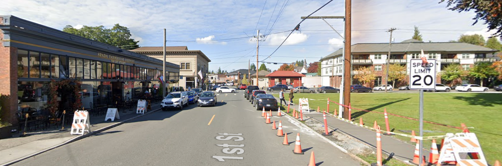
Start location @ Spada Farmhouse Brewery
We’ll try to gather in front, on the sidewalk/adjacent lot. There’s also an empty field of green grass across the street (Snohomish Farmers Market) in case we need a larger space.
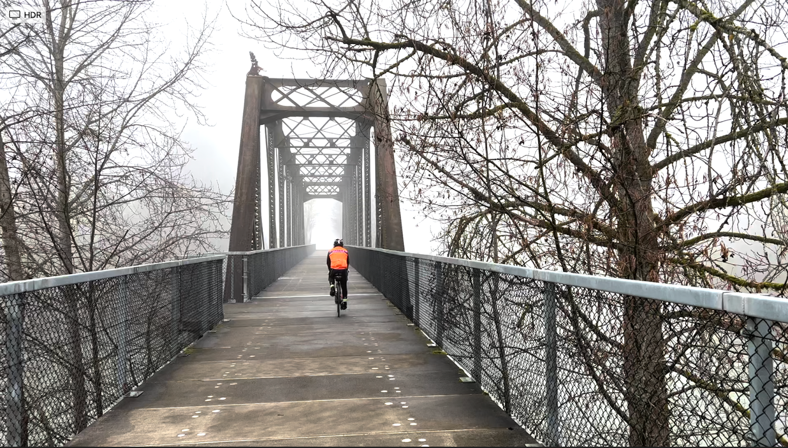
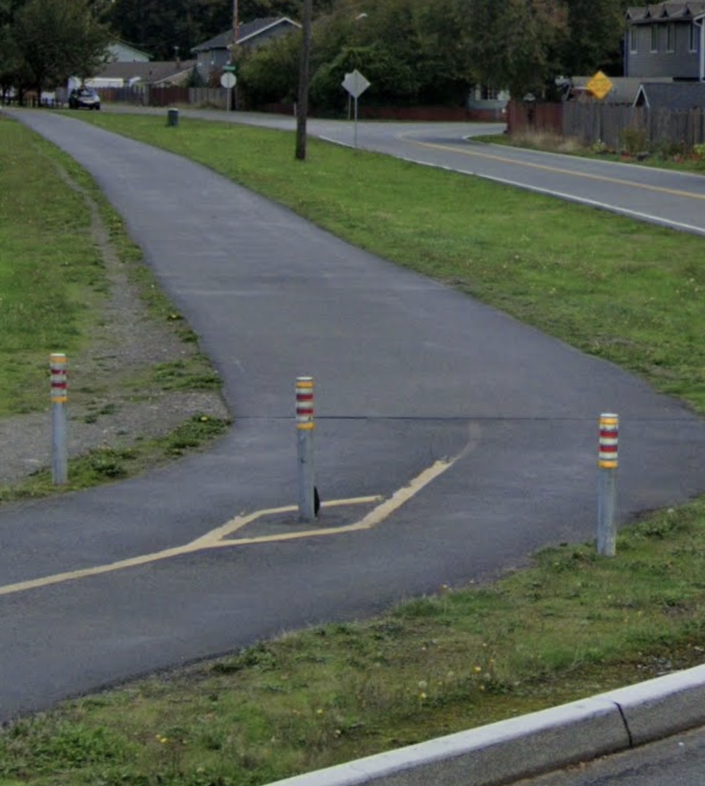
Centennial Trail
Frequently featured in SIR routes and well-traveled, Centennial Trail provides a shared-use refuge for cyclists and pedestrians. Make note of the bollards though.
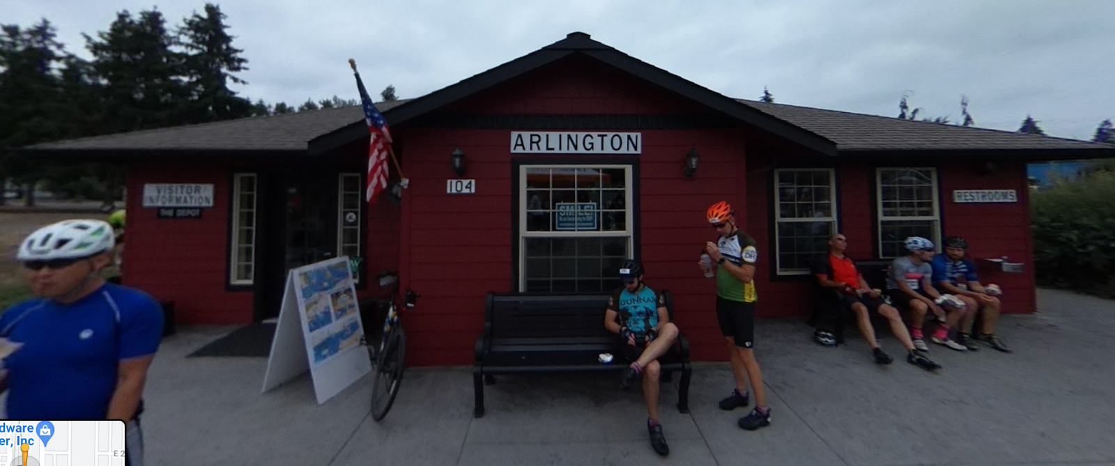
Arlington
Restrooms at Legion Memorial Park at around 22 miles / 36 km
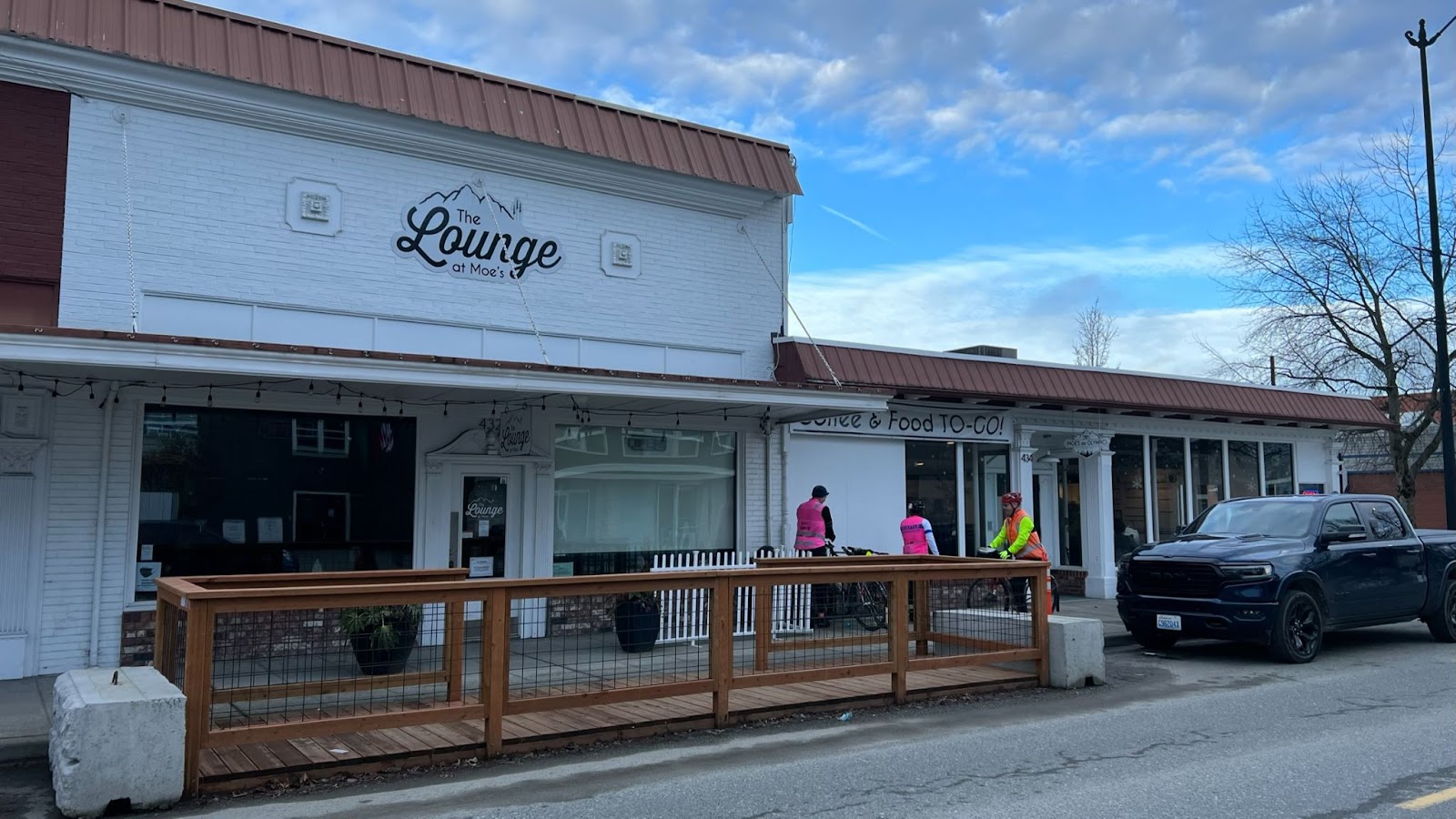
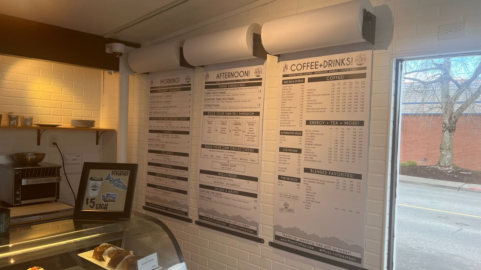
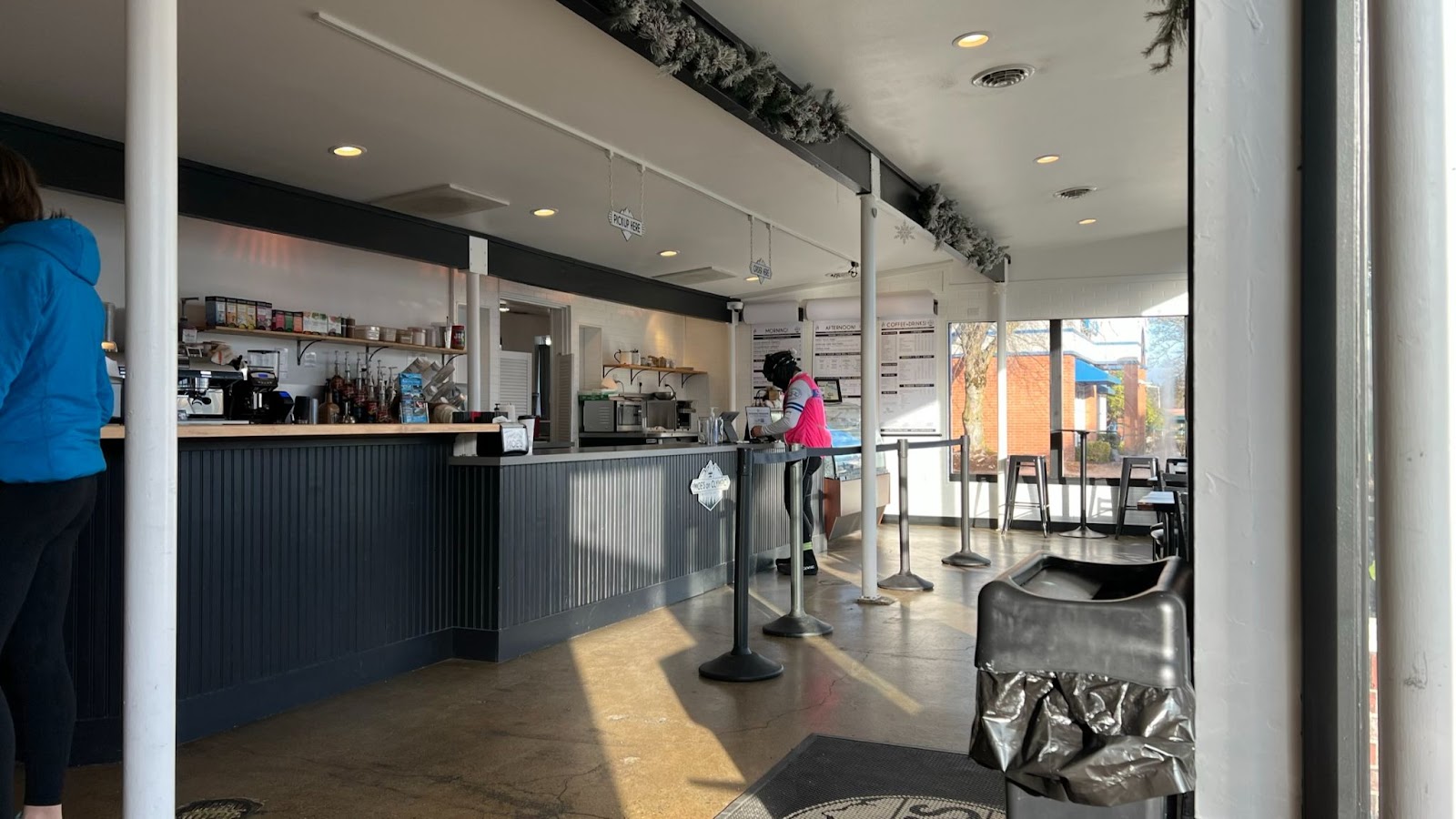
The Lounge at Moe’s is off-route one block on Olympic Ave. Take West 5th Street from the Centennial Trail and turn right onto Olympic Ave.
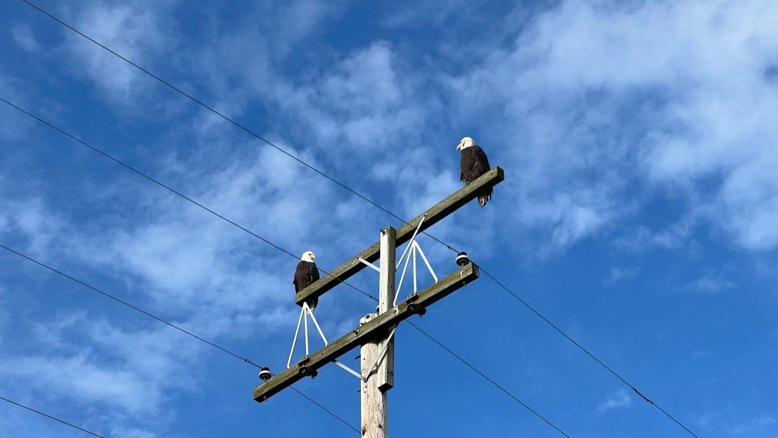
Skagit Flats
Up in the trees and on power poles, you may see Bald Eagles.
Down low in the fields flocks of geese honk.
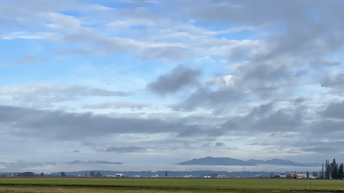
Out far across the Skagit flats, snow capped mountains hide behind clouds.
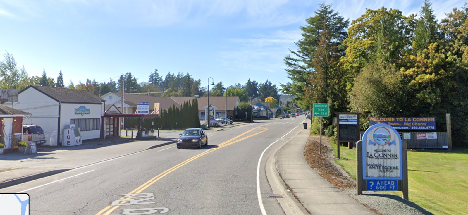
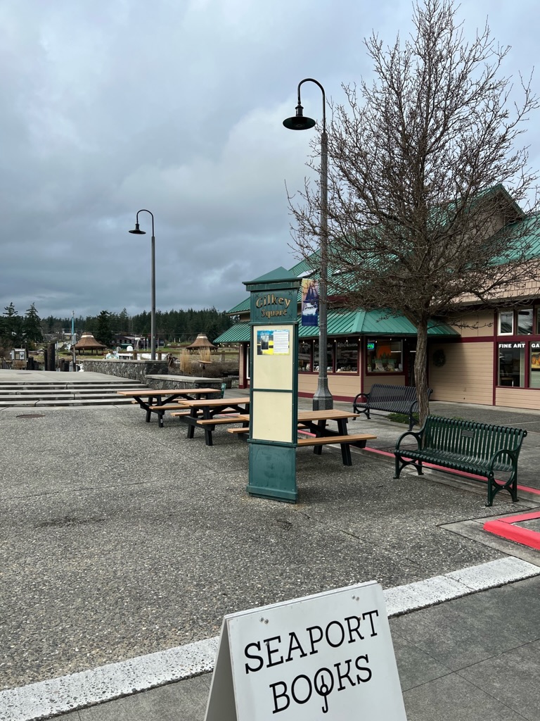
49.3 miles / 79.4 km at the end of Morris Street, you’ll arrive at Gilkey Square where the info control can be found. Mark read my mind on a reasonable landmark question. HINT: we won’t be asking you to find a yellow fire hydrant with numbers on it but the actual sign with the info control question will be nearby.
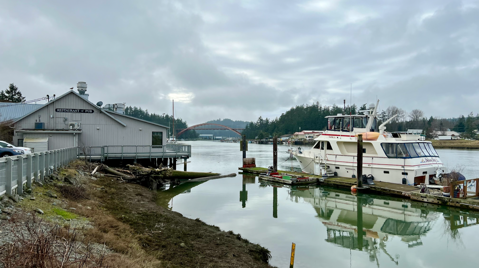
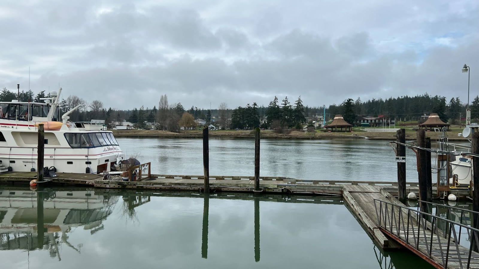
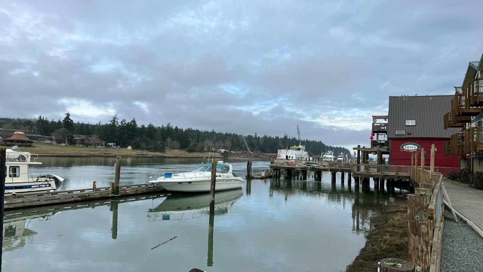
Soak in the view of the Swinomish Channel.
Refuel & Rest
After the info control, there are numerous options in La Conner to refuel, caffeinate, and grab a pint if you like.
The Scone Lady Bakery, 109 N 1st St, La Conner, WA 98257
South:
La Conner Coffee Company, 602 1st St, La Conner, WA 98257
Calico Cupboard Old Town Cafe, 720 1st St, La Conner, WA 98257
East:
Public Restrooms, 302 Morris St, La Conner, WA 98257
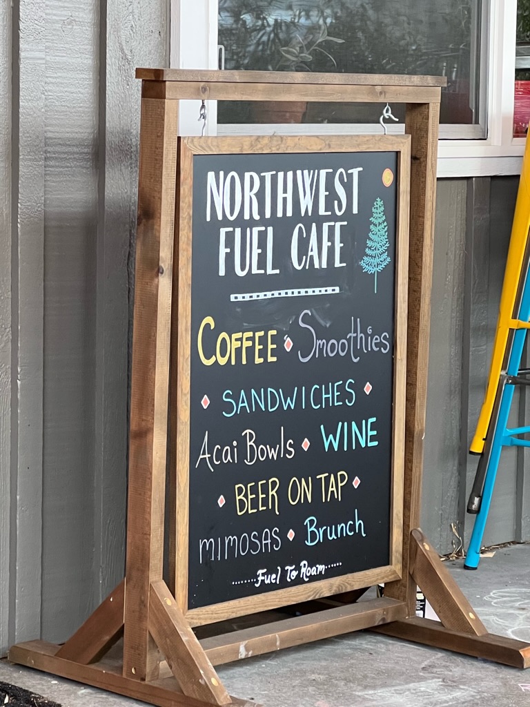
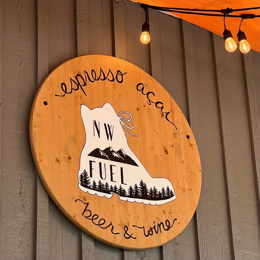
NW Fuel Cafe, 313 Morris St #4, La Conner, WA 98257
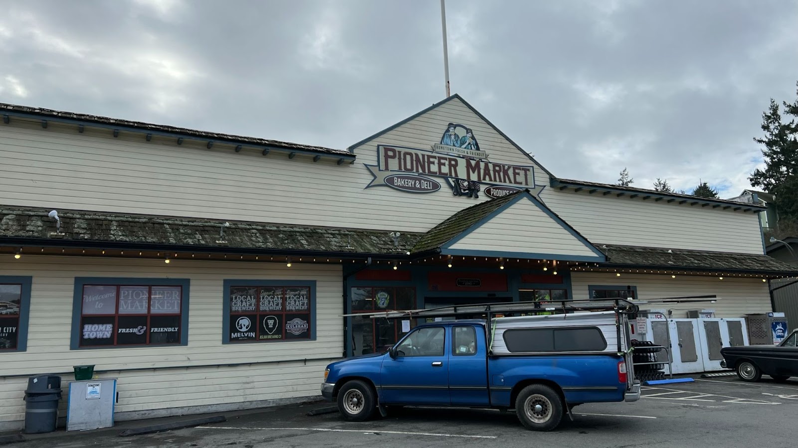
Pioneer Market, 416 Morris St, La Conner, WA 98257
Stompin Grounds Coffee Co, 603 Morris St, La Conner, WA 98257
And back…
Kevin stashed and encouraged us to Lake McMurray with a hand pie on the return!
CAUTION: Arlington, Centennial Trail is on the sidewalk along 67th AVE NE against the flow of traffic. Automobiles cross trail from side streets. Take note of stop signs. Drivers may not see you.
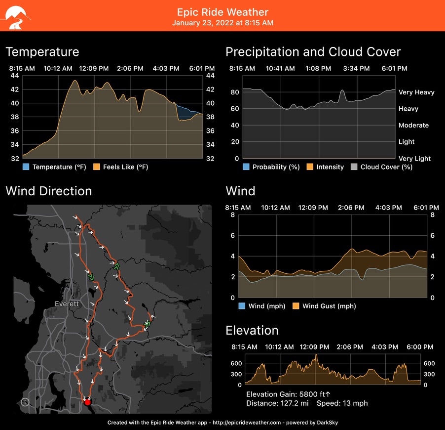
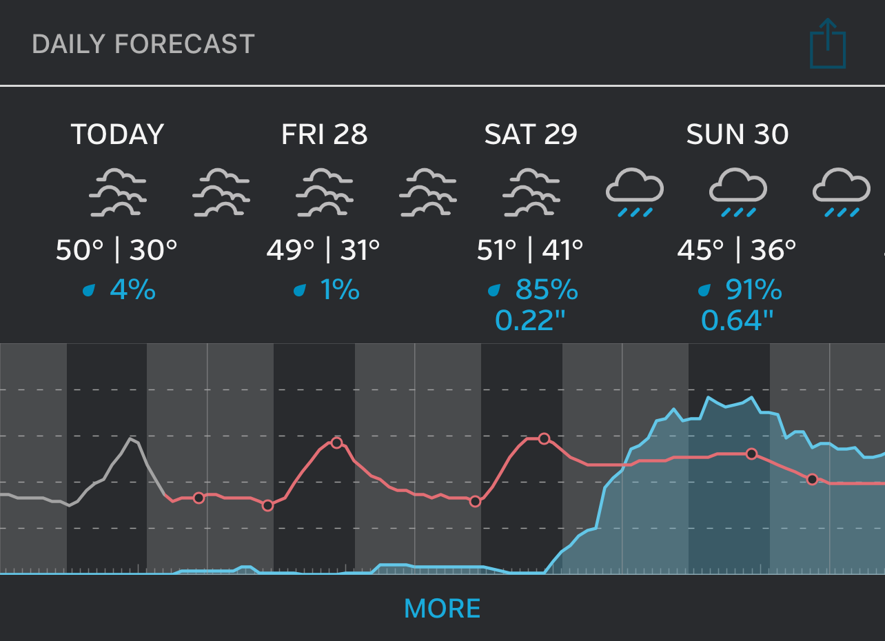
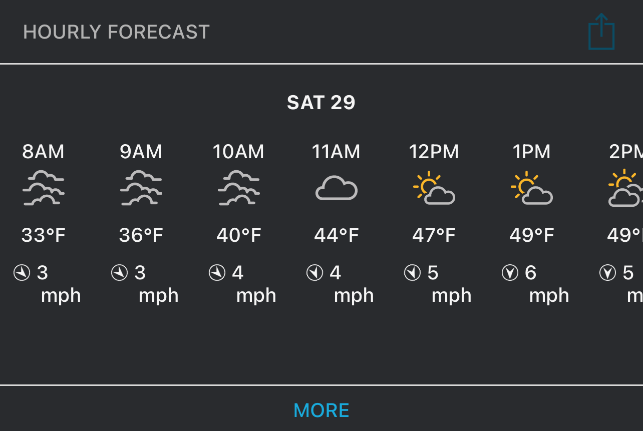
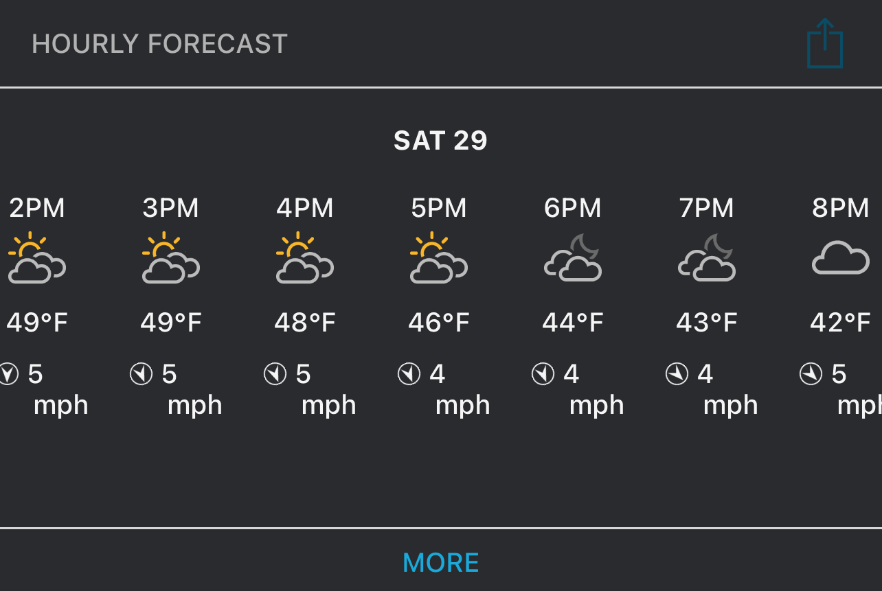
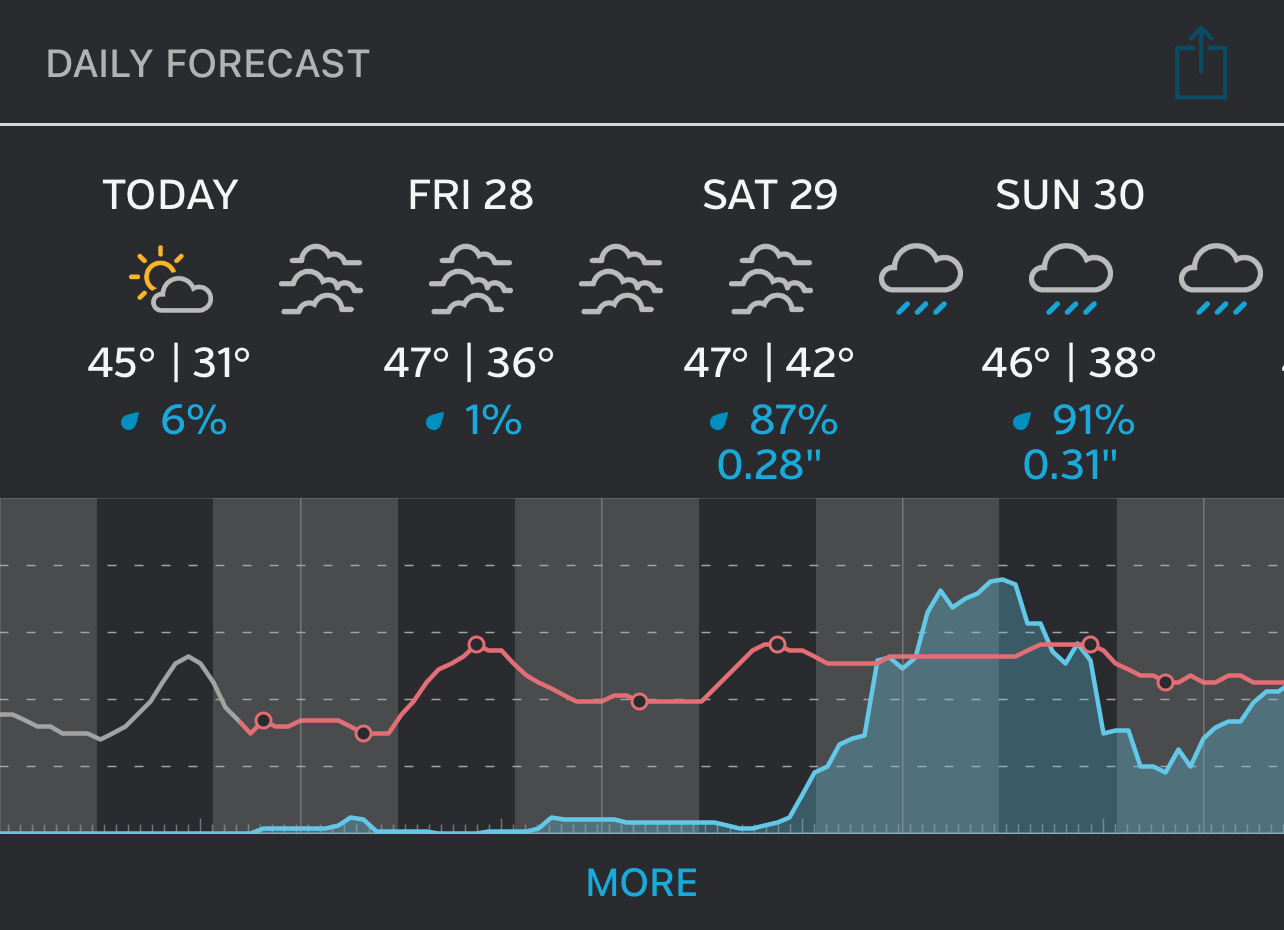
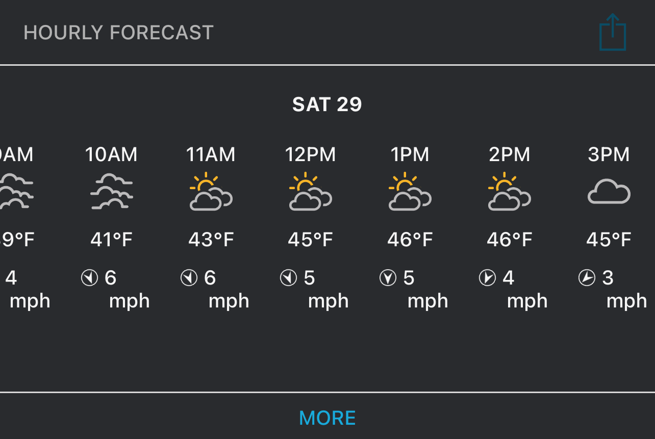
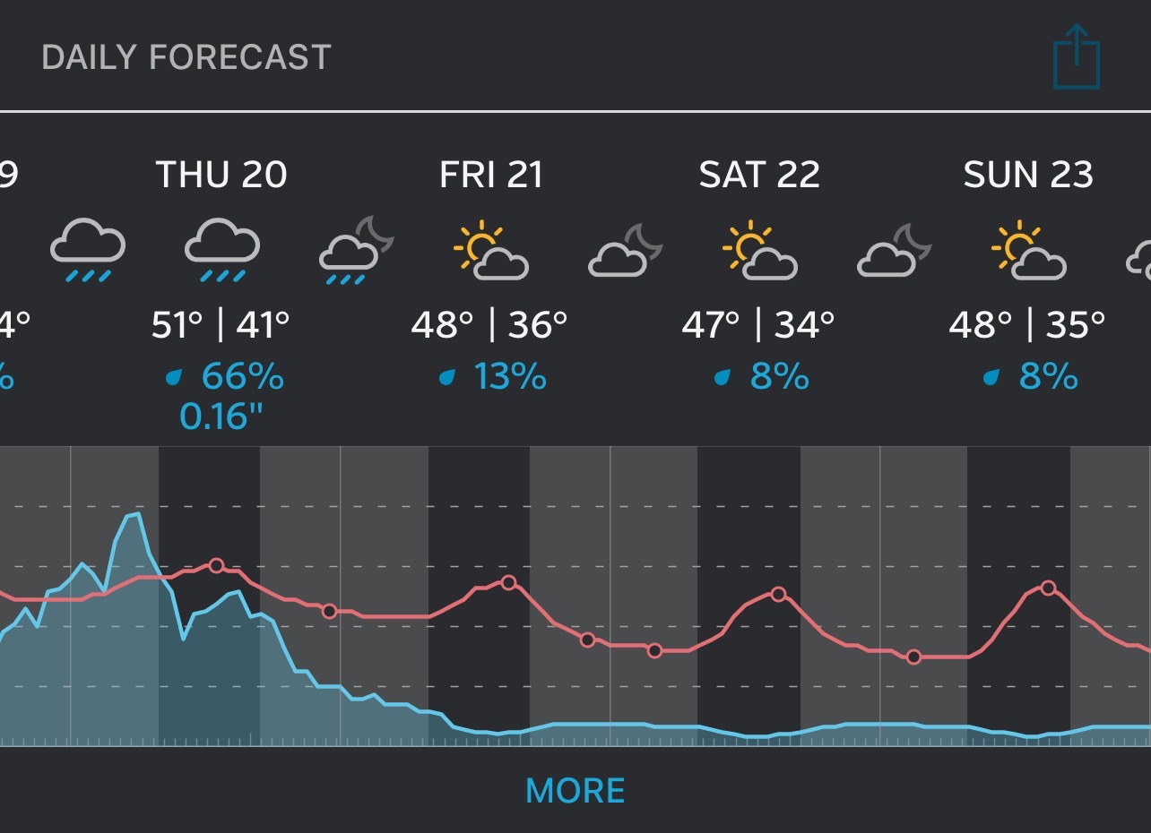
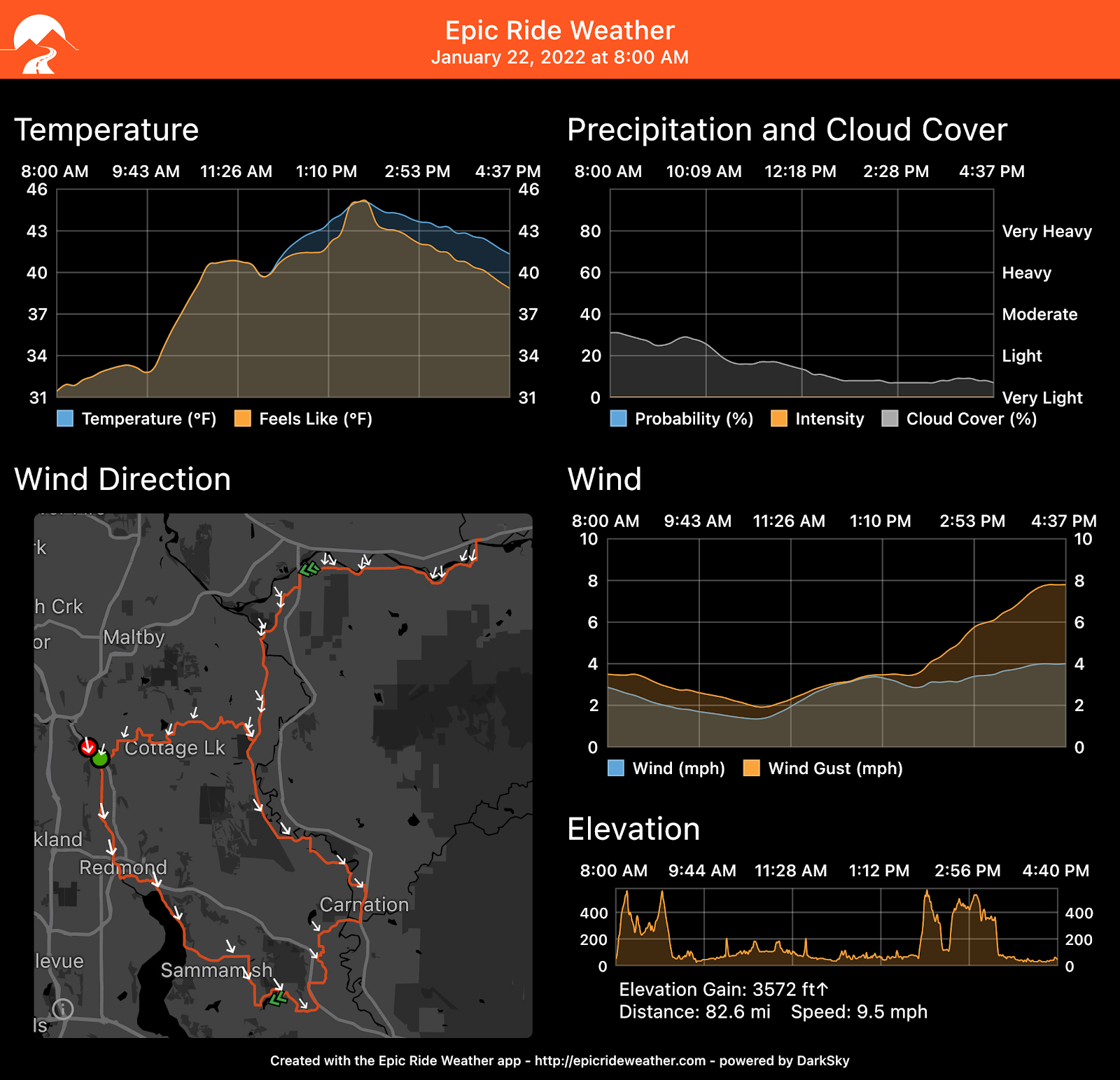
Weather Forecast
For Snohomish
For La Conner
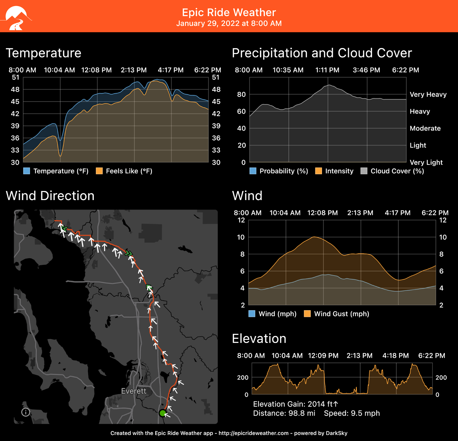
Epic Ride Weather
Comments Off on 2022 January 29 Rouleur 150-199 km Ride Report: Snohomish – La Conner Out & Back 159K
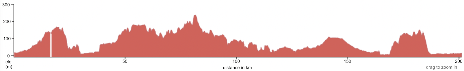
Distance: 130K (0.1 km gravel), 81 miles [The finishing time of 8h 40m is based on the official distance of 130 km. Detours may make the actual route longer. You will still have to finish in 8h 40m.]
Elevation (max / accumulative): 173 m / 1090 m, 567 feet / 3576 feet