Author Archives: Theo Roffe

About Theo Roffe

SIR Newsletter/Blog Editor RUSA 5988

2017 SIR Summer 200K Pre-Ride Report (7/15/17)

by Keith Moore

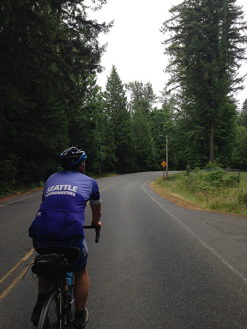
The 2017 SIR Summer 200K brevet features familiar roads and trails, as well as some roads rarely seen in SIR routes. This route is based largely on the 2015 “Great Lakes Hunt” 300K, without the super climby bits north of Arlington.

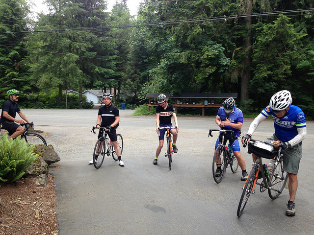
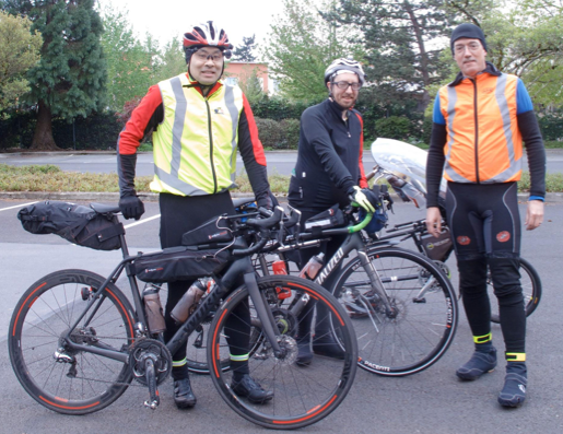
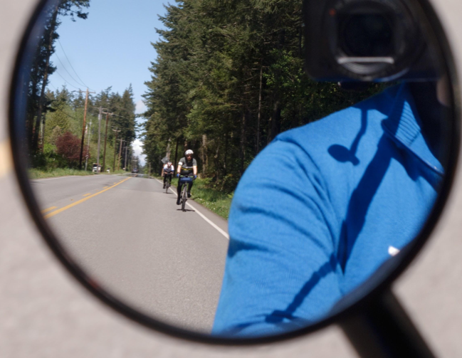
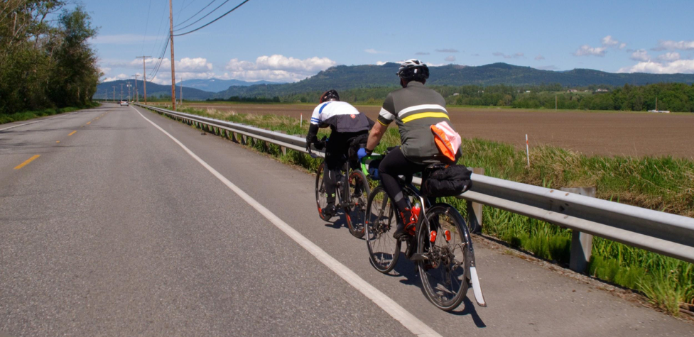
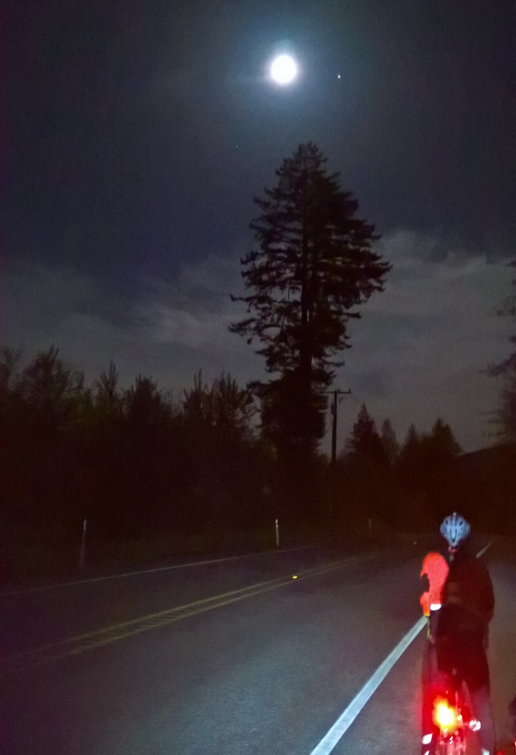
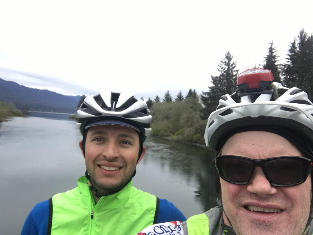
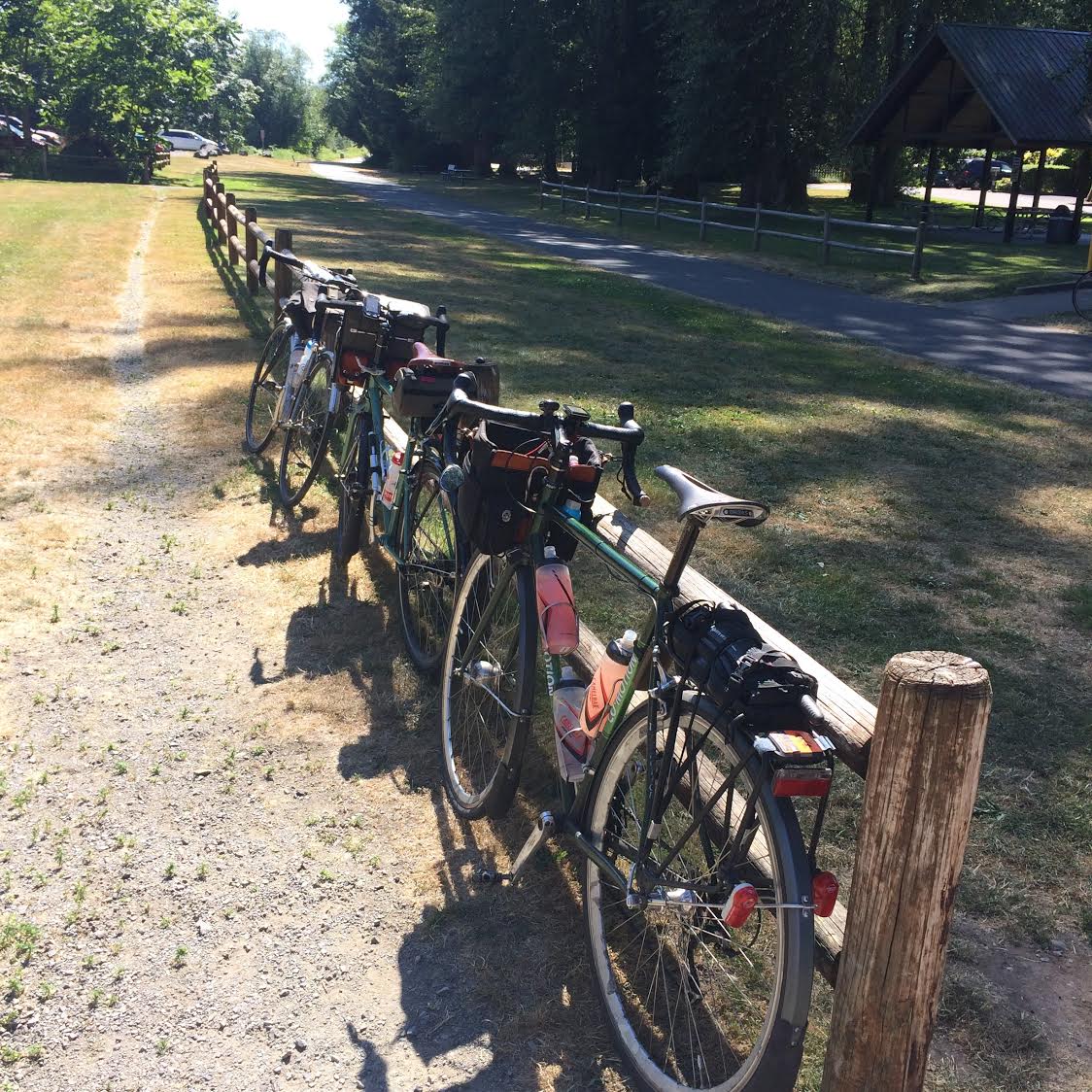
The pre-riders (Narayan Krishnamoorthy, Paul Murray, and myself) met at 6:30am at Peet’s Coffee in Redmond (near Whole Foods) for the traditional coffee, pastries, and paperwork. We departed at 7:00am sharp.

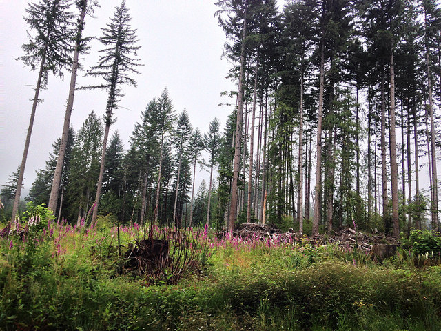
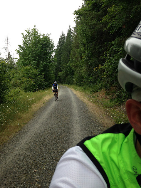
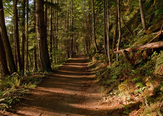
The first seven miles or so should be familiar to most SIR riders: an easy ride north on Avondale to Bear Creek, then to Mink and Woodinville-Duvall. Whereas most SIR routes turn west towards Paradise Lake, this route heads east. After a a couple of miles on Woo-Du, it turns into the quiet Aspenwood neighborhood. Way back in neighborhood is a little known dirt/gravel trail that connects Aspenwood to the Echo Lake area. Here we made our one and only navigational screw-up for the day.

Note: Follow the (updated/clarified) cuesheet instructions to stay on the trail and resist any temptation to divert left or right. In other words, go here:


NOT here:

The trail is well packed. I had no issues with my overloaded bike (and overloaded rider) on 28mm tires. After the trail we joined a gravel road for a few hundred yards. Again it was no problem on my 28mm tires.

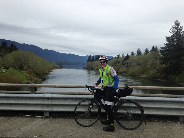
After answering the info control question on Echo Lake Road we dropped down Welsh Road and joined High Bridge Road to Crescent Lake Road. A sublime ride through the Snoqualmie River Valley took us to WA-203 and Monroe. Numerous services are available in Monroe.

Crossing WA-2 we joined Old Owen Road then quickly turned onto Calhoun, the first notable climb of the day. It’s not long, but it does hit about 9.5% at one point, so it definitely gets your attention.

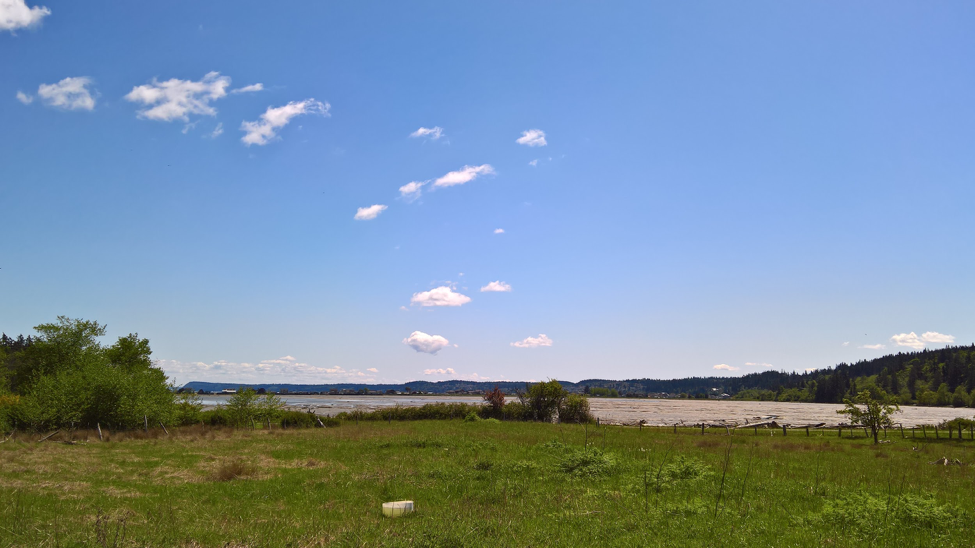
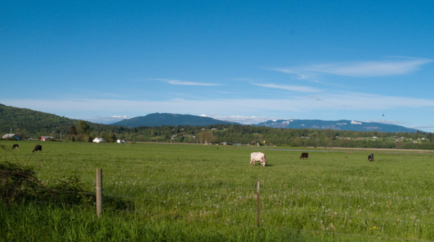
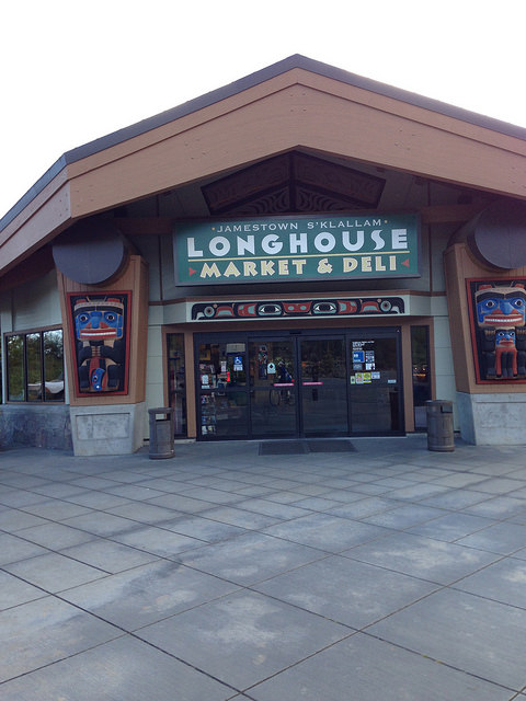
More quiet roads along sleepy farms took us to Lake Chaplain Road and (surprise!) Lake Chaplain. Unfortunately the lake is fenced off and not visible from the road. We answered the info control question, put on a fresh layer of sunscreen, and wondered what the people monitoring the security cameras thought of us.


Departing Lake Chaplain we doubled back then joined Old Pipeline Road to Bollenbaugh Hill Road, Woods Creek Road, and Lake Roesiger Road. Here again the route departs from SIR tradition — rather than riding north along the west side of Lake Roesiger, this route follows the east side of the lake. The east route is definitely “lumpier” than the west side, but it features a very nice park with real toilets, drinking water, picnic tables, and access to the lake for cooling overheated feet. Kasia & I will be manning this control on the day of the official ride, serving cold drinks, a few snacks, and control card signatures. About one mile north of the park is the Lake Roesiger Store if any additional supplies are needed.

Familiar roads continue to Granite Falls where numerous services and lunch opportunities abound.

The route departs Granite Falls on Jordan Road. Whereas most SIR routes take Jordan to Burns Road, this route continues on Jordan for about 13 miles or so to Arlington. Beware of broken glass on the shoulder.

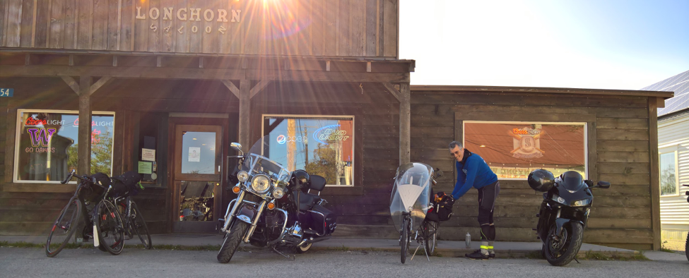
In Arlington the route heads north briefly (~3 miles) on the Centennial Trail to the Bryant Coffee Co-Op. This is the one “merchant” control for the day. Cold drinks, ice cream, and snacks are available for purchase. Don’t forget to get your card signed! There’s no public restroom here, but there is a port-potty at the trailhead across the street, as well as “real” restrooms about 5 miles down the trail in town.

From Bryant the route doubles back on the Centennial Trail, then follows the trail all the way to Snohomish. Numerous services are available in Snohomish. Water and restrooms are available at Machias Station, about 5 miles north of Snohomish.

On ride day Snohomish will be celebrating their annual “Kla Ha Ya Days” summer festival. Expect a lot of traffic and other activity. Most importantly, expect 1st Street through town to be closed. Depart the trail on 2nd Street to D Avenue to continue heading south.

Traverse the lovely Snohomish valley to Springhetti Road and Broadway Ave, the last “big-ish” climb of the day. (It’s not that big of a climb, but it’s a bit of a grind, especially on a hot day.) Beware of glass on the shoulder.

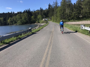
After Broadway, the route crosses WA-522, joins Bostian Road and eventually reaches Woodinville-Duvall Road. Congratulations! The ride isn’t over yet, but it’s all downhill & flat for the remainder of the route.

Descend Woo-Du carefully — traffic can be heavy, and there are a number of drainage grates in the shoulder. The merge left at the traffic light (to stay on Woo-Du) is my least favorite part of the route. Be careful and keep an eye out for oblivious drivers. There is also a crosswalk available at the traffic light.

The route descends further into the town of Woodinville where many services are available. Turn left before the AM/PM (requiring another merge left across traffic), enter Wilmot-Gateway park and head south on the Sammamish River Trail.

The remainder is a piece-o-cake: just stay on the trail (be mindful of the cuesheet instructions for crossing over the bridge in Redmond), ride through Marymoor Park, and you’re practically to the finish.

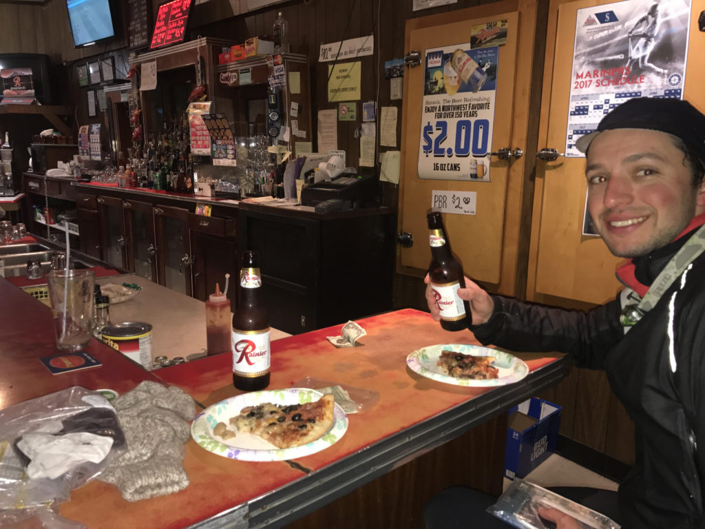
Pop into Postdoc Brewing to get your card signed and have a beer if you’re so inclined. Soft drinks will also be available. The food truck scheduled for ride day is “Don Lucho’s Peruvian Sandwiches”. Vegetarian and carnivore options are available. See http://donluchosinseattle.com/#menu for details.

All in all I’d say it’s a fantastic route. Thanks to Narayan & Paul for a great pre-ride.

Please pre-register here.

Comments Off on 2017 SIR Summer 200K Pre-Ride Report (7/15/17)

Filed under Pre Rides

Summer Populaire (July 8, 2017) Pre-ride Report

The Summer Populaire (106 KM) kicks off the SIR Summer Series in style on July 8, 2017. It’s a lovely mix of familiar roads, trails, pavement, gravel, climbs, descents and even some flat stuff along the way. The ride starts in Columbia City at the Genessee Park and Playground and finishes at Super Six, part of theHawaiian-Korean fusion Marination empire. Cue sheet, map and pre-registration are all on the SIR website.

Organizers Ray Whitlock and Ben Rainbow gathered with pre-riders Hugh Kimball, BJ Moore, Fred Bladsel and Theo Roffe (that’s me) on July 1 to check the route and find questions for the several information controls.

The route avoids the I-90 bridge, passing instead through Renton on the south end of Lake Washington. This leads to a lovely descent (watch the rough pavement) into May Valley Park, past a dead end sign. At the bottom of the hill (where the many grates are), answer the info question and climb to the left. If you keep going straight, like I did, you’ll find a nice gravel trail that doesn’t go anywhere.

From May Valley Park it’s familiar roads with slightly higher traffic to Tiger Mountain Road and the biggest climb of the ride, just shy of 900 ft. It’s got a couple steep pitches, but it’s pretty scenic up there (see image at top of post). Answer the info question at the East Side Fire and Rescue, then enjoy the descent. But watch for cars from the left looking to park at the trailhead just before the T-intersection with Issaquah-Hobart Road.

The next phase of the ride is a bit gravely, but nothing very deep or technical. Just quiet sections of the Cedar River Trail, Cedar River Pipeline and Green River Trail. All of these provide a nice break from car traffic. Don’t get too distracted here, though, as we had to include a few more info controls. The last info is at mile 45, so you can stop messing with your brevet card from there until the finish.

From Maple Valley, it’s back to Renton where some construction interrupts our typical zig-zag back to Perimeter Road (around the airport). Be attentive to cars as construction always seems to make sharing more difficult. The route from Renton essentially backtracks to the start, but turns off on Genessee St (downshift!) and follows a backroads way to the finish.

It’s a fun route and the weather is looking to be most excellent this weekend! Hope to see you there.

And please remember to pre-register! It makes things a lot easier on the admin side.

Comments Off on Summer Populaire (July 8, 2017) Pre-ride Report

Filed under Pre Rides, SIR Rides

Permanent Change: Summer Festivals and Road Closures

by Bill Gobie

Every year two summer festivals close roads or trails in Seattle. Please keep these in mind when planning rides.

  • The Seafair hydroplane races close a section of Lake Washington Blvd at Genesee Park in late July or early August, typically Friday through Sunday. This year the dates are August 4-6.
  • The I-90 floating bridge closes during the Seafair air shows.
  • Hempfest closes the bike trail in Myrtle Edwards park for several days in August. This year the dates are August 18-20. Setup and teardown may obstruct the trail for several days on either side of the event.

Other towns have summer festivals which include street closures or parades. For example, Covington Days July 15 & 16 this year.

Comments Off on Permanent Change: Summer Festivals and Road Closures

Filed under Permanent Change

Permanent Change: High Impact Detour Tolt Hill Bridge

by Bill Gobie

The Tolt Hill Rd Bridge over the Snoqualmie River is closed indefinitely. This bridge is southwest of Carnation. Many of our permanent routes cross it en route to Snoqualmie River Rd. The King County website for the bridge closure is here.

Fortunately for bicyclists, it is easy to detour across the nearby suspension footbridge in Tolt-McDonald Park. Please walk your bike across the bridge — besides being narrow, the bridge sways and bobs as people move on it.

To reach the footbridge when riding south in Carnation, turn left on NE 40th St.

When riding north on W Snoqualmie River Rd, continue straight across Tolt Hill Rd. Go around the gate to enter the park.

Eastbound on Tolt Hill Rd, turn left opposite W River Rd. Go around the gate to enter the park.

Ride with GPS map.

Comments Off on Permanent Change: High Impact Detour Tolt Hill Bridge

Filed under Permanent Change

Permanent Change: Summer Road Work

by Bill Gobie

Summer is coming and what does that mean? Road repair!

When planning to ride a permanent you should consult the relevant counties’ road conditions website. Regardless of closures you have to reach all the controls. You might want to ride a different route than you had in mind, or perhaps with some planning you will be able to map a reasonable detour. Links for King, Snohomish, Pierce, and Thurston Counties are listed on SIR’s Detours page at http://permanents.seattlerando.org/p/known-current-detours.html.

You can often find road closures on Google Maps by turning on the Traffic layer. Closures on secondary roads do not become visible until you have zoomed in several steps.

Some prominent restrictions and closures in King County affect:

  • Issaquah-Fall City Road: Single-lane traffic at various locations for repaving. During June 12-21 a portion of the road will be closed to all traffic for culvert replacement. (Thanks to Gary Prince for alerting me.)
  • May Valley Road: A segment is currently closed through June 16.

Comments Off on Permanent Change: Summer Road Work

Filed under Permanent Change

600 km Spring (June 3, 2017) Pre-ride Report

by Noel Howes

Bainbridge ferry arrival

“Ferry – Beach – Ferry” (Accent on second syllable in Ferry – Rhymes with Paree)

Jeff Loomis and I met on the glorious Saturday AM last for the 6:10 ferry to Bainbridge to set off on our adventure.

We moved the start to the Blackbird Bakery so you will ride to the light and turn left on main street – Winslow Way. Folks driving to start from Olympia or west of water can have coffee and treat before ride (they open at 6:30 and were not busy). A vehicle parked there will take your drop bag.

We set out on the back road and only reach 305 close to the Agate Pass Bridge – this left turn has traffic but hopefully less on Sunday [the ride starts on Saturday] AM. We made our way up to Poulsbo to the usual entrance to Big Valley road though it is marked with signs on Little Valley – “No through” etc. There is a poorly viewable crossing and cars do go fast over the hill coming from your left but we were cautious and got through. Big Valley is pretty, avoids the Port Gamble Road with its traffic, and small shoulder.

Cross the Hood Canal Bridge and take the left turn to Shine then down the Toandos Peninsula to the Community Center in Coyle (there will be water for you) – in the daylight! This is the beginnings of Tour de Industrial Forest but low traffic and some hills.

Jeff in Quilcene

Back out to Quilcene where we stopped for Milkshakes. This is at the 101 Brewery. There is also Olympic Grocery and another Grill and a coffee stand.

There will be an uneventful ride down 101 with services, except for hair-raising encounters with amateurs pulling enormous boats. The shoulder can be narrow at times but I wear a mirror for just this reason and blinkys on (helmet?) would be safer.

Turn at the usual route to get to Matlock store [which closes at 19:00. We will have…]that will have SIR support after it closes small food items and fluids. Out then into the Wynoochie wilderness with the requisite gravel and inclines to Humptulips and on to “Steve’s Hideaway” near Ocean City. This is a very long stretch with no services, water or food – real adventure for some.

Mr. DeGroot was wonderful to us with food, water, etc.  He has a trailer and a small bunkhouse. It is off the road in a gated area and Steve asks that you just lift you tires over the tire destroying teeth at the gate. One could take a catnap there and use a bathroom. Drop bags will be further, in Elma.

From here we went back to Hoquiam on some roads that avoid the past curves and traffic of the main highway. The main difficulty is getting over the Hoquiam East to West, this involves jumping on the sidewalk going against traffic then crossing at a marked crosswalk to sidewalk on other side until you can get back on a quieter road. We found parts of a trail leading to here but because we were running late and it was just getting light, there was little traffic, so we are routing you on the main road. From here it is smooth sailing to Elma via Blue Slough and Monte Elma road.

We slept very little because of my delays (more on this later) but you will have Andy Speier and his competent crew to welcome you with your drop bag. You will have less than 200 km to go!

Going through Shelton you will discover, if you do not already know, the reason for the road name North Cliff.  There is a sidewalk to the left if you are not too stubborn and want to stay out of traffic.

From Elma our first food stop was Subway in Belfair, much needed (there was food at our hour in Shelton). You then take the truly ugly two lane highway shoulder for a bit towards Tahuya which eases as it turns into North Shore road.

Olympic Mountains from Tahuya

Next come the walls of Tahuya. Please consider purchasing my forthcoming E book “ A Walkers Guide to the Tahuya – Seabeck Alps”. In summary, it is possible to walk the first hill, preliminary elevation of Holly and Anderson Hill and still finish the ride in time.

Press on to Seabeck Pizza or if you arrive before 8 PM you can go to the General store there as Jeff did. I actually arrived around 7:30 PM and had a slice of pizza made for me. The serveuse suggested one might call ahead to order but be aware they close at 8:30 and oven closes at 8. Ice Cream and pop available 8-8:30. (360) 830-4839

You will descend Trigger Ave under Highway 3 and turn left on the Clear Creek trail– do not get off on lesser trails but continue on the main trial to an unmarked blacktop then up to the trail sign. You will see Silverdale road and head to that. I had not realized that Silverdale Road is the massif that it is but it will take you up and over on painted bike lane to your turn at Lundvig and Poulsbo.

We will have the finish at the Bainbridge Best Western and the next ferry after control closing is midnight.

I did start a list for myself of new items not to break in a 600 km including shoes and lubed but unchecked drivetrain.  Jeff commented, kindly, that I have always been willing to try and learn new things. Needless to say, Hot Foot, bending derailleurs and lack of support except at Steve’s, cut my time and ability to climb severely.

I am told that parts of this ride are too hard. I did finish despite my stupidity, walking and searching for at least one new control and detailing others. I did meet my goal, though, of climbing an equivalent altitude to my next 1200 km ride goal for August.  I had a great weekend with my riding partner and stole any possibility of nice weather you might have.

Additional details and pre-registration on the SIR website, here.

Coming home from ferry through Fremont.

1 Comment

Filed under Pre Rides, SIR Rides

Chuckacamano Views 400k Pre-Ride Report

By Mitch Ishihara and Adam Glass

Continuing our islands and views theme from the past two years, we bring you more views from Camano Island, Chuckanut Drive, Bellingham, as well as other sensory infused opportunities from the northern interior of the Pacific Northwest.

Parking & Start

Ample parking at the start location awaits those wishing to get in a 400K.  Be advised though that there are no bathroom facilities.

Bear Creek Park & Ride
7760 178th Pl NE
Redmond, WA

The Pre-ride begins

Three opportunistic fair weather Randonneurs (Adam, Bill, and Mitch) set out to pre-ride the 5/20 Chuckacamano Views 400k route on an overcast and chilly 41°F morning.  All were bright eyed and bushy tails with smiles.  

Note: The start time on 5/20 will be 05:00 to make use of the increasing summer daylight hours.

The first 94K

After leaving the start at Bear Creek Park & Ride in Redmond, we headed north toward Paradise Lake.  Unfortunately, dense underbrush and trees block any views of the lake.  Apparently an artist decided carving wood sculptures from downed trees along Paradise Lake Road would do.

From Paradise Lake Road, we followed a common permanent route to Snohomish on Broadway Ave.  For the unfamiliar, lookout for the bad railroad track angle at the start of Broadway Ave.  After crossing the Snohomish River, the route headed west (left) on 1st Street to follow the river.  If you detour right on 1st, you find Snohomish downtown and a public bathroom on the right.

From Snohomish we took the same gently rolling hills and flatish route as last year’s Island Views 300K out to Marysville. By now, the dense marine cloud layer began to clear to blue skies for our randonneuring enjoyment. This year by popular request, we will take a slightly less traveled (slightly more hilly) route from Forty Five Road to McRae Road NW and Freestad Road south of Lake Ki before joining onto Lakewood Road for a glimpse of Lake Goodwin. As Lakewood Road begins to descend, stay alert for the right turn up onto Frank Waters Road.

In Stanwood there are numerous services, including an AM/PM before making the climb up the Stillaguamish River overpass.

Onto Camano Island

Once on the island, we left the busy HWY 532 on Good Road to take a scenic route along Utsalady Road.  This was recommended to us by our agents on the Island and well worth it.   Stunning views to the north (Skagit Bay).

Quiet roads…and more stunning views to the north (Skagit Bay and Whidbey Island).

A view from the Utsalady Point Park Info Control.

The views continued along Sunset Drive facing west as it dips down into the Sunset Beach neighborhood.  The terrain on Camano Island dips and climbs and repeats but lacks the duration of Whidbey.  At the south end of the Island(122.5 km), Elger Bay Grocery awaits to serve up some much needed calories and a control signature.

Continuing on with a few more dips and climbs, the route dips down with a view to the south (Triangle Cove).

Back on the flats

We eventually made our way off Camano Island to continue north along the flat farm lands with minimal trees.  As per usual there was a steady headwind from the North — use your energy wisely.

There’s an info control at the Shell station in Whitney before crossing HWY 20.  After finding the control answer however, we kept moving along capturing the scenery.

Barns, horses, farm land, …

More views along Bayview-Edison Road with abundant blue skies.  However, the sun was getting low now.

We parked our bikes with the others at Longhorn Saloon & Grill in Edison.  Longhorn allowed us to fill our bottles with water but wouldn’t do it for us.  Breadfarm (baked goods) is next door.

Note: that the Fairhaven control is only about +22.5 km from Edison — some more farmland and then Chuckanut Dr.

Let the Chuckanut adventure begin!

Of course paragliders were out and about enjoying the clear skies (and wind).

For those who desire a respite from possible car traffic on Chuckanut Drive, a stretch of compact dirt on the Whatcom County and Bellingham Interurban Trail parallels the road for 6.6 km.  Bill rode this on a recumbent highlighting the hard packed gravel and grade.  He did report two instances of sharp descents with loose gravel.

A bit beyond half way

We arrived in Fairhaven for the 215 km open control in time for a much needed dinner in hopes of surviving the second half through the cool night hours with enough energy reserves.

Fairhaven offers ample eating opportunities ranging from a Mambo Italiano, a pile of sandwich places, pizza, breweries, etc. You pass a grocery on the way in if you feel you can’t linger.  We strongly encourage you to stock up here on calories as the options beyond this point are limited and mostly of the gas station variety.

Into the night

As the sun set for the evening, so too did the photographers.  The temperature began to drop as the heat escaped into the clear night sky. We did manage to capture Jupiter next to the moon.  Other than this, there really isn’t much to see at night!  But brrr!

The Dodson’s IGA Market info control (243 km) in south Everson, WA marks the approximate northern most location on the route with services.  The folks at the Saloon next door seemed friendly enough as well.

The next services are at a Chevron in Deming at 249 km which lit up the dark sky off to the left of the route like the yard light in Poltergeist.

You know how there isn’t much to see at night?  Proceed with caution between 270 km and 280 km as HWY 9 has some pinch flat inducing potholes.  You can guess how we know.

Next services are at a friendly AM/PM in Sedro-Woolley at 286 km. They have some tasty hot chocolate out of a machine there.

The Safeway Arlington timed control is at 334 km.  Services in Snohomish begin at 368 km.  Woodinville AM/PM is at 389 km.  

The finish is at 407 km at the Redmond Inn.

Summary:

So that’s 407 km that you have to traverse in the 400K ACP Brevet maximum time of 27 hours along with 8000 feet of climbing.

The route can be thought of as four parts: 94 km of relative flatness out to Stanwood, 47 km of beautiful Camano Island views and a bunch of climbs and dips, 100 km of relative flatness north, and a cold return down the HWY 9 corridor.

Challenges:

  • It’s a 400k
  • It’ll be a cold night.  It’s also typically damp and foggy by the time you get to the Centennial.   Plan for mid-30°F at night.

Weather Forecast

The weather forecast for 5/20 is absolutely fantastic!  It is looking to be better than the pre-ride.

Pre-registrations

Help the organizers by pre-registering for this brevet here:
http://brevets.seattlerando.org/register_for_event/397


Comments Off on Chuckacamano Views 400k Pre-Ride Report

Filed under Pre Rides, SIR Rides

Summer 300 km – Four Volcanoes – July 29, 2017

Summer 300 km Brevet:
Four Volcanoes

310 km

14,000 ft climbing

July 29, 2017

Start time: 0630

Packwood, Washington

Organizer: Bill Gobie

gobie.bill@gmail.com

My intention for this event was to run the popular Three Volcanos 300. The Cispus River had other ideas, however. The route is impassable. The Forest Service plans to complete repairs to Road 23 in the fall of 2017.

Photo credit: US Forest Service

There are two more washouts on road 23 like the one pictured.

We will ride a new route featuring an additional volcano!

From Packwood, we will go south all the way to the Columbia River, west to Carson, north to Randle, and return to Packwood. There will be an untimed control at Takhlakh Lake (photo at the top). Much of the 40 km to Takhlakh is gravel (the pre-ride will determine the exact amount). The gravel continues over Babyshoe Pass and five km down the descent. Once on pavement you will make a screaming descent to Trout Lake, where you can get a bite to eat at Bear Creek Cafe and reflect on what it takes to hike the Pacific Crest Trail if you share a table with a through hiker. Continue downhill to the Columbia River and more eating at the timed control in Carson. Heading north you can nosh again at the Eagle Cliff store. An untimed support stop before Elk Summit will boost you to the incredible winding descent to the Cispus River and the final gentle miles to Randle and Packwood. Veterans of the Three Volcanoes will be relieved to know the final miles are on flat US-12 instead of lumpy Cline Rd (although there will not be a secret control so you may ride Cline Rd if you’ve not had your fill of climbing).


Route: https://ridewithgps.com/routes/20862078

The official start is from Johnson Creek Sno-park 16 km from Packwood

Moving the start 16 km from Packwood makes the brevet’s timed distance 310 km, and eliminates some difficult gravel climbing from the timed ride. With this adjustment most riders will have have a realistic prospect of finishing successfully.

Riders are encouraged to ride to the start. You may drive if you wish and leave your car at the sno-park. No permit is required. You will have to retrieve your car after the ride! There are no facilities at the snopark so overnight camping will be rough. See the special rules for cars below.

Be sure to leave Packwood early enough to reach the start on time! This is not a ride to start late!

The route to the start is simple: https://ridewithgps.com/routes/20865786

Support

We will have water available at Johnson Creek Snopark. The Takhlakh Lake control will have water and the usual rando goodies. Ditto at Elk Summit.

The pre-ride will check water availability at campgrounds.

The Takhlakh Lake crew will leave the snopark before the start, and will not be aware of riders who check in after the start. The Takhlakh Lake support vehicle will remain at the lake until four hours after the start or until the last rider who checked in before the start passes, whichever is earlier. Four hours is one hour longer than the maximum time to reach this control if it were timed. The car will drive back to Packwood to aid any riders who have come to grief on the gravel climb. Late check-ins might not find support at the lake.

The Elk Summit support location is actually a wide spot in the road a few kilometers before Elk Summit. The car will remain there until 22:30.

Communication

Cell service is spotty or nonexistent on much of the route. Text messages can often be sent when cell signals are too weak for voice calls. Riders must be prepared to fend for themselves in case of a mishap. You cannot depend on being able to contact the volunteers.

Using a SPOT or other personal locator is encouraged, although the mountainous, forested terrain may interfere with its signal. Please provide your tracking link in the comment box when you register.

In case of DNF please contact the organizer so the volunteers do not wait pointlessly for you to appear.

Rider Expectations

You must be prepared for night riding with reflective gear and lights. It is strongly recommended to carry a space blanket and warm clothes. Nighttime mountain temperatures can be very cold, and the weather can change rapidly. Many veterans of the 2010 Three Volcanoes remember the dark, wet, foggy descent from Elk Summit.

Special rules for cars

(Subject to change after the pre-ride): Since we will be riding the only route over Babyshoe Pass usable by ordinary vehicles, it is desirable to minimize the number of cars for the safety of riders and minimize dust. Therefore, support cars must leave Packwood by 0500. If you have a driver who will return your car to Packwood, the car must remain at the sno-park until one hour after the start for the safety of late riders. If your driver is going to drive the route, the car must leave the sno-park at least ten minutes before the start, or remain at the sno-park until three hours after the last rider starts. A 30-minute penalty will be imposed for each violation of these rules.

Check-in and finish

Check-in and finish will be at Hotel Packwood. Early check-in will be available at the hotel Friday evening. Check-in Saturday morning will be open at the hotel from 0430 to 0500, after which check-in will move to the sno-park.

The entire Hotel Packwood has been reserved for Friday and Saturday nights. To make a reservation, tell them you are with Seattle Randonneurs. Unreserved rooms will be released July 14. (If you cancel a reservation please announce it on the SIR email so someone else can take the room.) There are other motels in Packwood as well, plus a campground in town and an RV park a few miles west.

http://www.packwoodwa.com/Hotel%20Packwood.htm
(360) 494-5431

Comments Off on Summer 300 km – Four Volcanoes – July 29, 2017

Filed under SIR Rides

Brevet Week: Olympic Peninsula 600k Pre-Ride Report

By John Pearch

Theo Roffe and I pre-rode the Brevet Week Olympic 600k last Saturday and experienced some of the heaviest rains on the Olympic Coast!  This 600k route follows a similar route I created in 2011, however I am very glad I took out the Joyce-Piedmont hill and the Little River hill climbs as the Highway 112 has its fair share of hills. The weather looks promising this weekend – much better than what Theo and I experienced.

The 600k follows the same route as the first 600k of the 1000k, starting at the La Quinta Inn & Suites in Tumwater. We decided to finish the 600k and 1000k Tumwater Control at the Pints Barn tavern, only 500m away from the La Quinta.  There’s great food and beer to celebrate and to tell all the stories of the Olympic Peninsula.  We have uploaded all the revised cuesheets and RWGPS on the SIR’s RWGPS account, based on the preride of the 600k.  Mark Thomas and Rick Blacker also pre-rode the 400k and had some revisions; thanks Mark and Rick for all your help!

Starting off through Tumwater, the route goes through city streets of Tumwater and west Olympia.  The climb up Old 410 and Highway 8 is one of the bigger climbs, but there is long descent into Elma along Elma-McCleary Road.  After Montesano the route takes the backway into Cosmopolis.  From the Chevron Station, the route takes the bike path that leads to the US101 bridge over the Chehalis River.  Be advised, just after the top of the bridge, stay left and follow signs for 101, and don’t exit right!  The route takes you quickly through Aberdeen, up the beautiful Wishkah River valley, and along the back way to Humptullips onto 101; totally missing Hoquiam.

Theo and I skipped the re-supply at Humptullips since we had enough food to get to Amanda Park store.  But just after Amanda Park, we were getting drenched. It was pretty darn cold once we got to Kalaloch.  The Kalaloch Lodge are very used to wet riders and put us in the back room. It’s the perfect place for a control!  They have best clam chowder bread bowl too!  It was very cold getting going again along the coast to Ruby Beach, with wind coming off the ocean and through the cedars. The climbs out of the small streams and Hoh River valley were a relief as they warmed us up. There was a tailwind all the way to Forks and beyond.  The descent down the Bogachiel River reminded us of previous years, riding and volunteering on the “Watery Olympic 600k.” In Forks, the Thriftway has a good deli and large outdoor gear clothing department that Theo and I took advantage of getting dry rag wool gloves and socks! You should stock up on water, food and any caffeine as after 10pm there is only Clallam Bay Inn tavern that is open until 2am.  However, bars sometimes don’t let you take any water or other beverages, so carry extra water and food from Forks.

After Forks, we had a sweet tailwind almost to the Highway 113 turnoff.  The climb up Hwy 113 Burnt Mtn is a pleasant climb with a nice view of Beaver Falls and Beaver Lake, if you get there during the light. It was just getting dark for us, but it still was quite peaceful.  Once you crest Burnt Mtn on 113, it’s a pretty steep descent down to Clallam Bay.  There was a surprising amount of traffic by the time we got onto Hwy 112.  We stopped in the Clallam Bay Inn tavern where there was a big crowd for a local charity fund raiser and raffle.  Clallam Bay Inn have a variety burgers and deep fried food and they said they are open until 2am on Saturdays.  After Clallam Bay, you will continue west to Sekiu.  Just look for Curley’s Resort, on your left, for the info control.  There’s no time limit in Sekiu, but if you feel you need a place to sleep there are a couple motels.  Be sure to call in advance and book ahead – nothing looked open at night.  Although this is the 300k mark, there is about 3,000 feet in 90 km’s to Port Angeles, with four big hills on highway 112. So plan leaving Sekiu in time to make Port Angeles by 7:12am!  It took us about 6 hours to ride from Sekiu to PA! [Theo’s note: I usually find that riding while cold and tired is very slow. Sleeping, even for a short time, in Sekiu would have been good for me, despite the longer second day. Consider choosing your sleep stop based on your riding style and experience!]

Climbing back out of Clallam Bay, you’ll take a left onto Highway 112 which then follows the Pysht River valley.  You eventually start to climb out of the Pysht valley.  It was still misty for us, but after a while the stars came out along this stretch and we could see lights over on Vancouver Island!  The first two climbs are about 200 to 300 ft in 2 miles.  But the third climb, about 12 miles from the turnoff, is about 400 ft in a mile, and the fourth climb, about 17 miles from the turnoff, is about 600 feet in 3 miles.  This was the toughest part of the ride since it was so late into the night.  At the top of the last climb, I looked at the profile and noticed we were just as high as the next climb which is Walker Pass (beyond PA).  Getting to Joyce is a relief. Most of the climbing is behind you!  Just after Joyce, you will take the Elwha River Road.  However, be ready to stop just before you cross the Elwha Bridge.  You need go right and go around a gate, and take a gravel road for about 40 feet and at a lit building, you’ll take a sharp left onto an asphalt path that will take you back, and go on the pedestrian bridge, that is suspended about 20 feet beneath car bridge.  This will eventually turn left onto the Olympic Discovery Trail and leads all the way into Port Angeles.  However, there is no place to access the trail on the east side of the Elwha Bridge!  The Olympic Discovery Trail also tends to share access with Milwaukee Drive.

Once Milwaukee Dr comes to South N Street, the route will take 6th Street, which is a nice quiet neighborhood street through Port Angeles.  The Safeway is supposedly open 24 hours, however for us they were closed for waxing the floors when we arrived at 0400! [Theo’s note: I hope they got it right and won’t be waxing the floors again for the brevet weekend!] So we stopped in the drive-in at the Jack in the Box along 101, further east of downtown.  Usually they don’t allow bikers at drive thru’s though, so it’s best to stock up on food you need at Safeway.  We eventually arrived at the Super 8 Motel on the east side of PA.  Remember, the 600k and 1000k are not supported so you’ll want to carry extra gear for the last 200k.  I carried an extra pair of shorts and socks and other warm clothing.  The Super 8 also has continental breakfast at 6am with waffles, boiled eggs, cereal etc. Or Joshua’s Restaurant that is right next door, also opens up at 6am.

The route goes on Highway 101 toward Sequim, and takes Old Olympic Highway. Just look for the Applebee’s build board sign to turn left! The Old Olympic Highway eventually turns north on Cay’s and goes to the overlook of the Dungeness Spit and Cline Spit along Marine Drive.  You’ll eventually head back to 101, via West Sequim Bay, but we did are best to avoid busier sections of 101 around Sequim.

At Blyn, Chevron Longhouse Market & Deli has some of the best hot food and lots to restock.  For those  riding through, this is the last after hours store open until Shelton, about 75 miles!

101 south to Olympia is full of climbs, particularly the Walker Pass!  We got to Walker Pass and started to rain hard as the mountain had trapped a cloud and was wringing it out over the road. After we escaped the trapped cloud, it was mostly sunny and we had a tailwind all the way back to Olympia!  Remember, you’ll need to take the Wallace Kneeland exit off 101 to get to the AM/PM or Open.  There’s only 26 miles to the finish and hopefully it will be a tailwind!

The route then takes the Steamboat Island Rd exit and avoids the busy 101/8 intersection by taking Madrona Beach.  Once you get back to Mud Bay, it’s the same route back to Tumwater as you started except a small difference in the last mile to get to the Pints Barn tavern.  One thing to note: when you descend down 4th/Desoto, it’s a free right turn at the bottom of the hill, immediately get into the far left lane to take another left onto Custer Way.

For those riding in the 1000k, Pints Barn is also a control and their food usually comes pretty quickly.  The last 400k of the 1000k has many scenic views of the Cascades and there is plenty of options for services.  We recommend overnight in Kelso Econo Lodge as it is about 720k into the ride, about 117k from Tumwater.  There is also no support there but you can pickup more gear from your car at the La Quinta when you pass by.

For those riding the 600k and 1000k, remember to reserve your own rooms at the suggested towns (or in another town of your choice).

An important note for 1000k and 400k: we changed the last 400k of the 1000k and the 400k to avoid Chehalis.  The route instead goes on Scheuber Rd on the west side of the Chehalis Valley.  So, please update your Garmin’s if you already downloaded the RWGPS file.  We plan to have staff control in Kapowsin (at 933k and 330k of 400) for anyone arriving after the store or bar closes.  We’ll have some food and beverages to get you in the final 44 miles!  Mark and Rick got about 10,000 ft on their Garmin’s on the 400k preride, so plenty of climbs out of the Cowlitz, Toutle, Highway 7, Nisqually and Ohop Valleys.

Stay tuned for an updated cuesheet, as Ward and Hugh are planning on pre-riding the Brevet Week 300k this Sunday. Thanks Ward and Hugh!  The 300k, 400k will start/finish at the La Quinta.  The 200k will start at the La Quinta and finish at the Pints Barn since it will still be open before the closing time.

Also, please let me know if you have a spot tracker.

Hope this is helpful and we are hoping for sunny weather and lots of tailwinds!!

Hope to see you Saturday or any of the Brevet Week rides here in Tumwater next week!

-John

Comments Off on Brevet Week: Olympic Peninsula 600k Pre-Ride Report

Filed under SIR Rides

SIR Jerseys – Final Offering of White and Blue Coffee Bean Design

sir-white-coffee-jersey SIR Jersey Teaser ImageThis will be our final order for the coffee bean design. After this year we will have something new and totally different. So get your beans stuff now or never. We need a minimum of 15 for each item category or that part of the order will be canceled/ condensed- see #4 below.

You can also order dark style SIR coffee bean caps which make great and relatively inexpensive gifts.

The ordering deadline is Monday June 12 (@23:59). Items will ship directly to you around August 4.

The colors in the image are only a rough guide. The true white version colors are pretty close but the dark version blues on the actual items are a purplish blue. Most of you already know this but some might not.

Please note:

1) Because these are custom orders Voler is not able to do exchanges or returns due to sizing errors. It’s best to call them at 800 488 6537 if you have fit questions.

2)The long sleeve FS Pro fit is the same as short sleeve jerseys. However, the other long sleeve jerseys are sized about 1/2 size larger than the short sleeve ones. Vest and jacket sizing is the same as short sleeve jerseys.

3) I highly recommend the reflective pocket option.

4) If we don’t reach our 15 item minimum for each of the two color categories, I’m going to try to condense them into one with a strong bias in favor of the white jersey category.
Don’t worry though- I’ll contact individuals to get the ok – or not- before changing your order.

5) Design details can be found in the PDF below. I don’t have images for the blue long sleeve items but they look nice.

———–
FWIW, the FS Pro is my all time favorite jersey and I’m picky about such things. I’ve used the Voler FS Pro model on six events over 2000 km since 2014 and it’s been really great. The short sleeve white version FS Pro jerseys are particularly good in hot weather but perform equally well in cooler temps.

– Doug

Click on this link to access your team order site: http://www.voler.com/Hubs/Team/SIR/

Additional details about ordering below.

Continue reading

Comments Off on SIR Jerseys – Final Offering of White and Blue Coffee Bean Design

Filed under SIR Swag