Advance scouting: Mitch Ishihara, John Nguyen, Andy Sapuntzakis, Kevin Smith
Pre-Riders: Mark Thomas, Jan Acuff
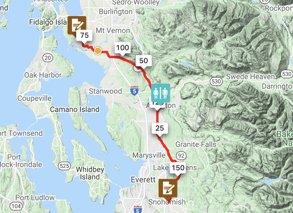
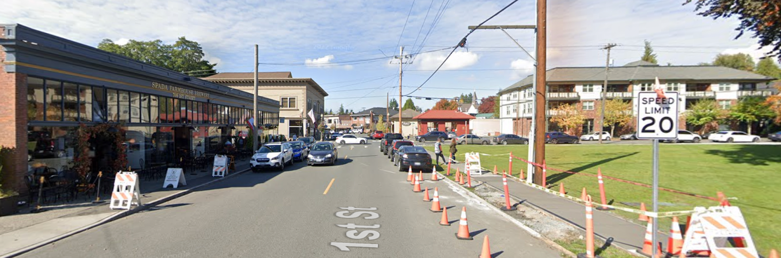
RUSA Brevet #2887 Snohomish – La Conner Out & Back – features Looking Glass Coffee (closed for remodel) outside Spada Farmhouse Brewery, La Conner (multiple bakery and coffee options), Spada Farmhouse Brewery
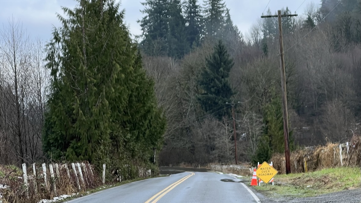
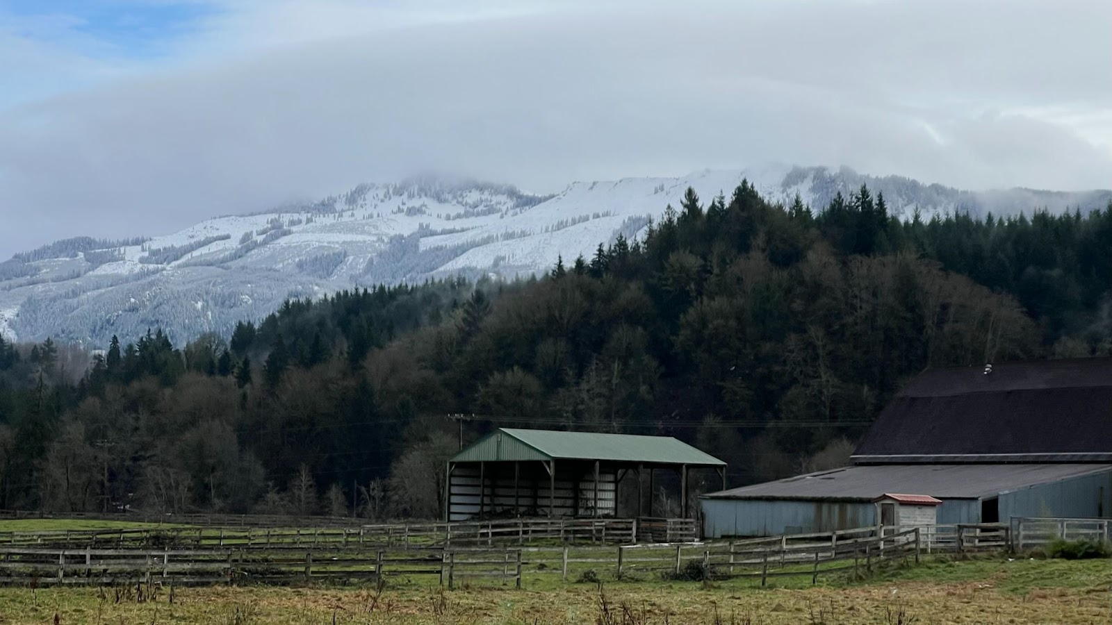
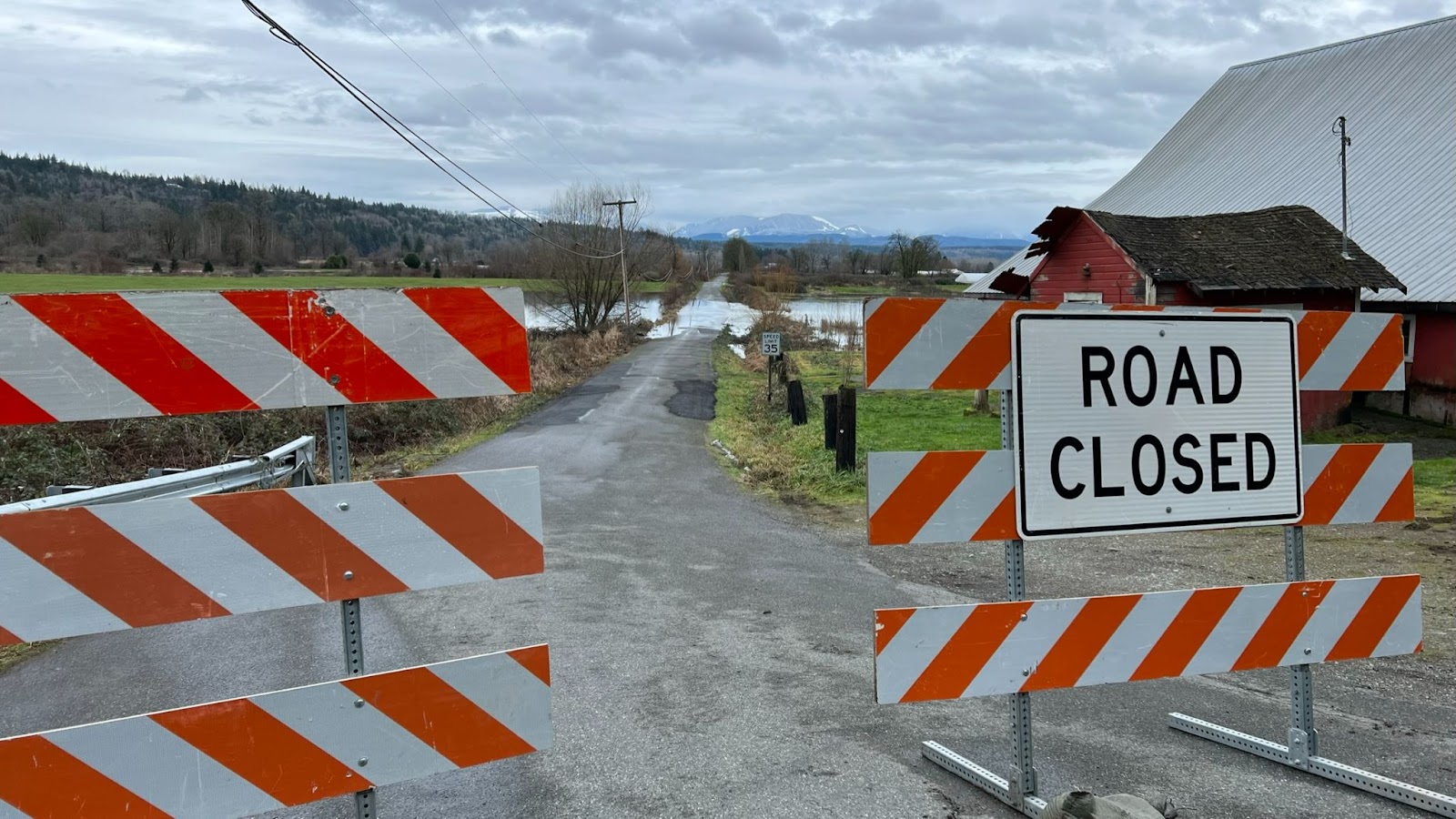
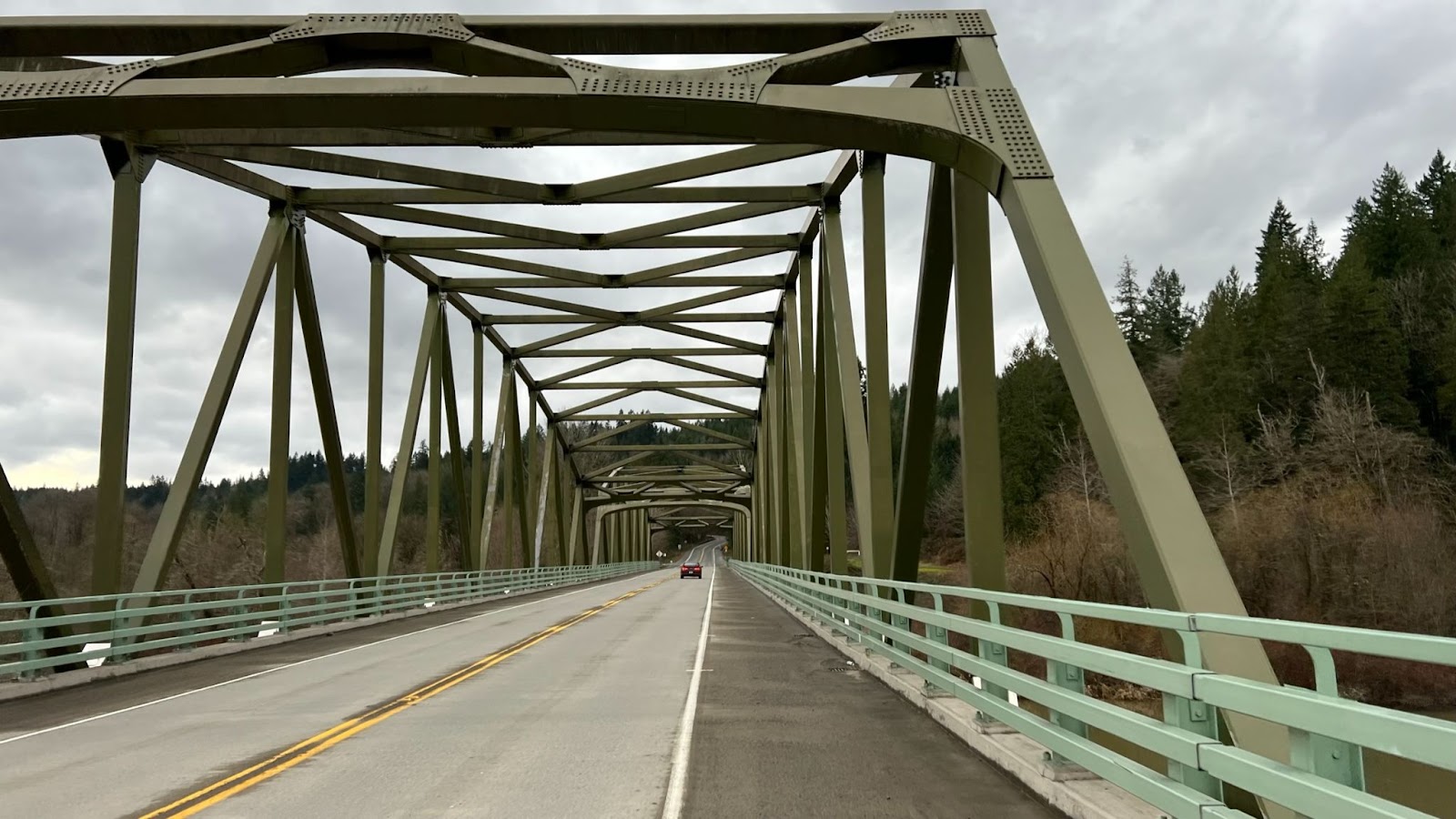
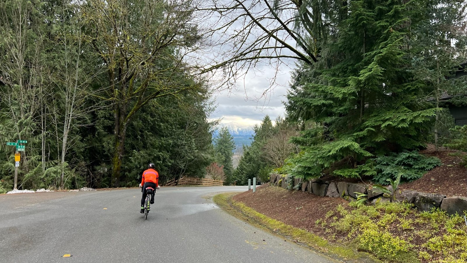
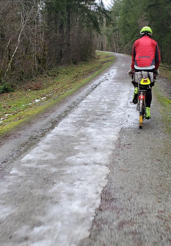
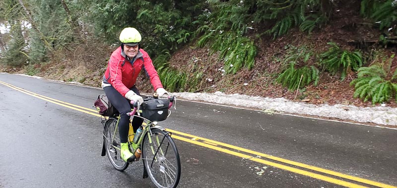
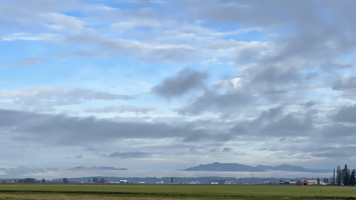
The route features low elevation (below 110 meters/360 feet), gradual railroad trail grades with flat farm pastures, on rural roads against a scenic backdrop of the Cascade foothills and maybe a peek of Mt. Baker.
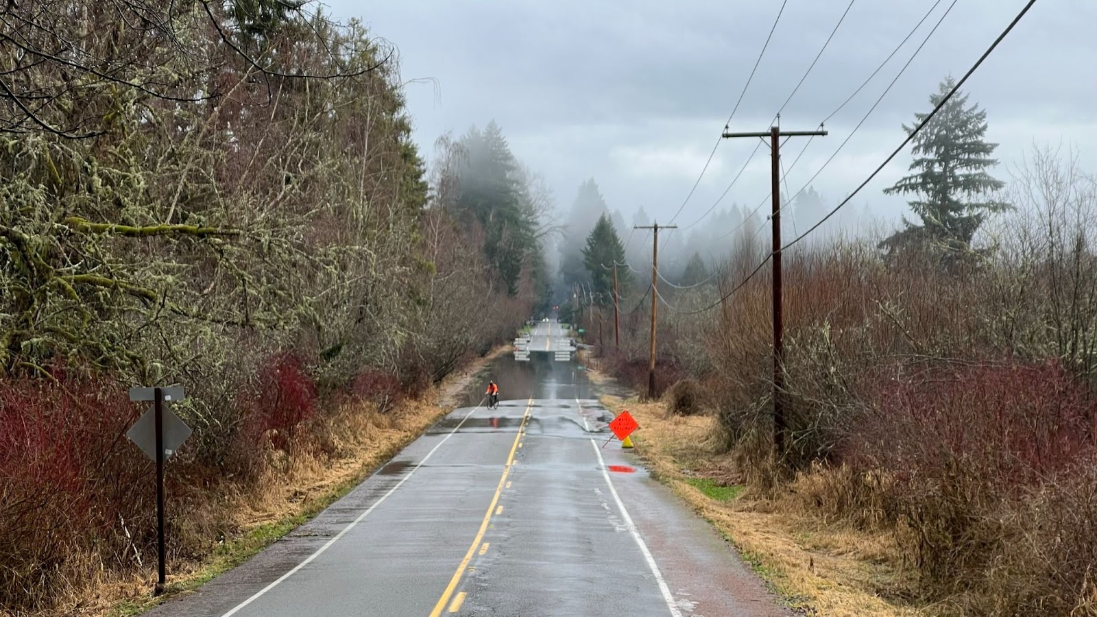
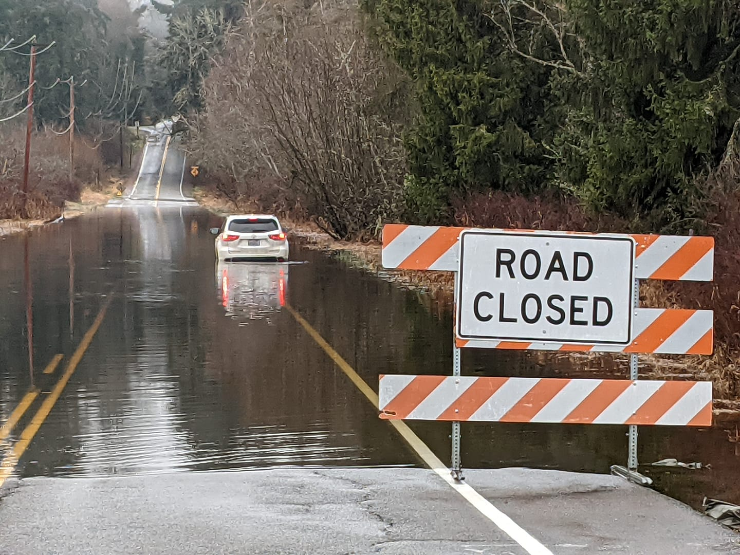
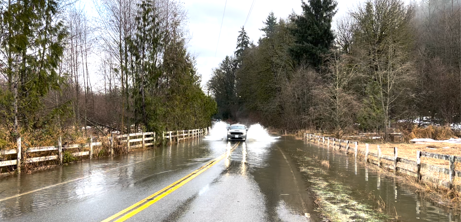
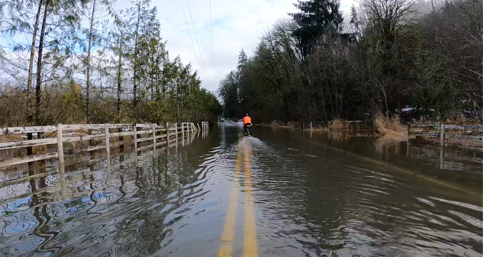
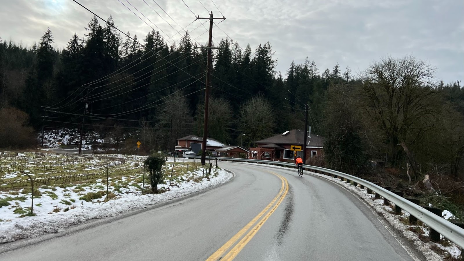
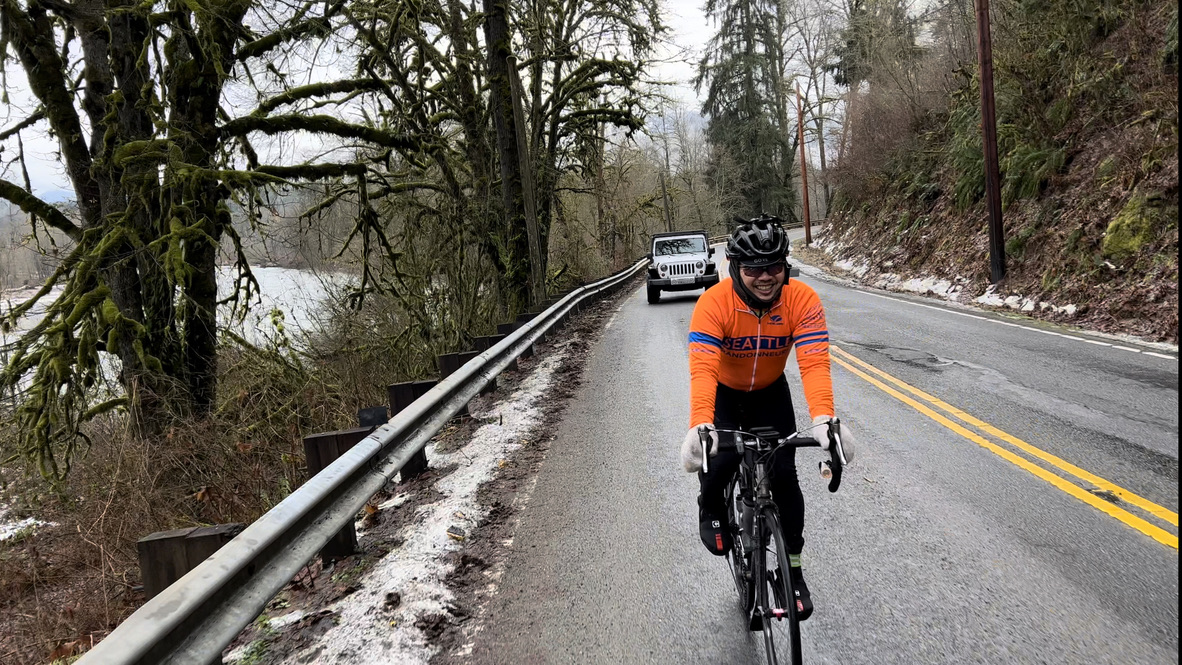
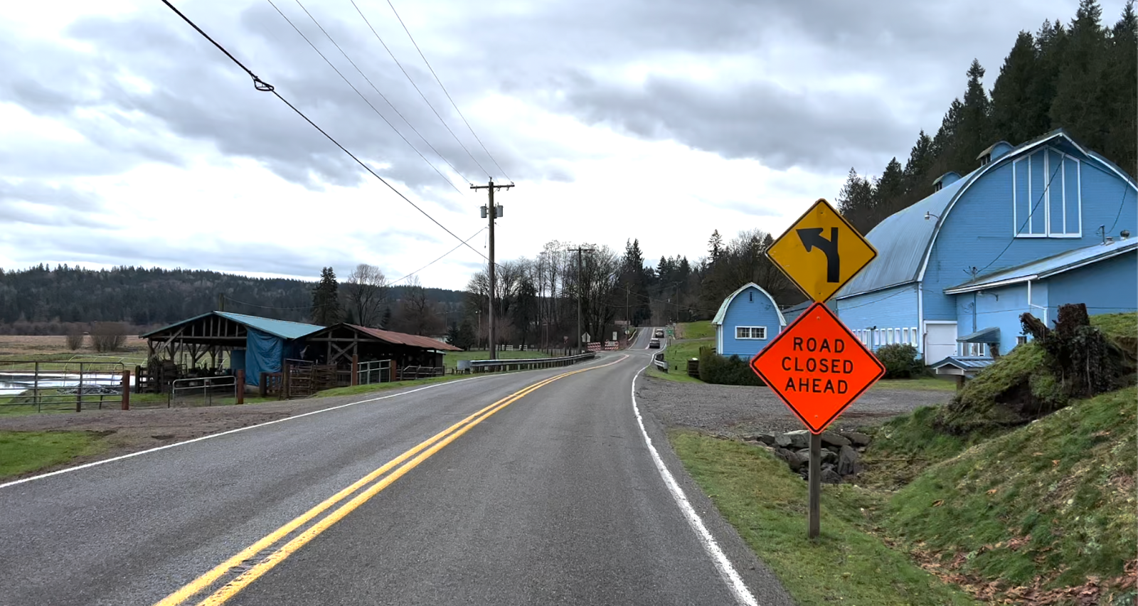
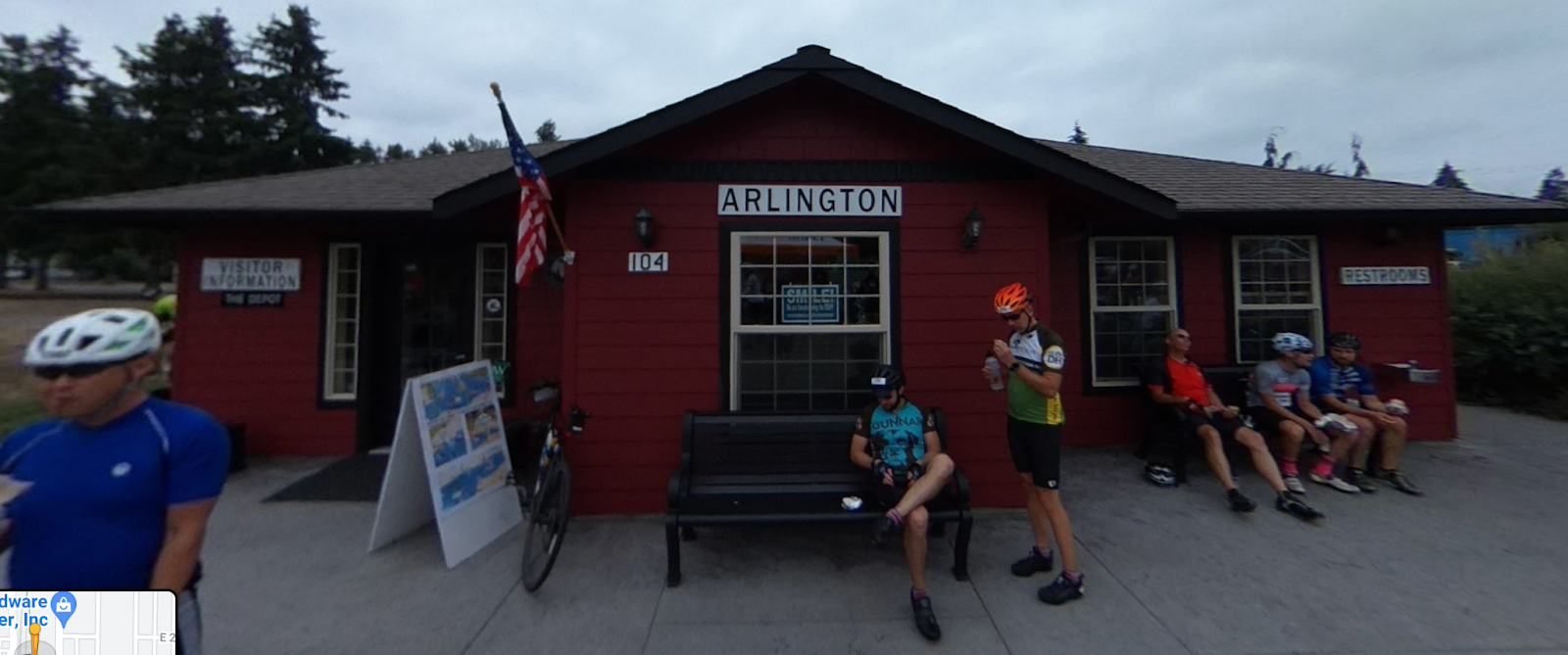
From the start in Snohomish, make a gentle climb on the Centennial Trail until passing under the HWY 9 overpass. Descend down into Arlington for a restroom pit stop, coffee (off-route one block), or baked goods. Make another gradual climb past Lake McMurray before descending down HWY 534 to Conway. Meander across the flats out to La Conner, with a chance to see Bald Eagles perched in trees. Grab some baked goods (or breakfast/lunch) at La Conner (multiple options). Return back to Snohomish for a finish at Spada Farmhouse Brewery.
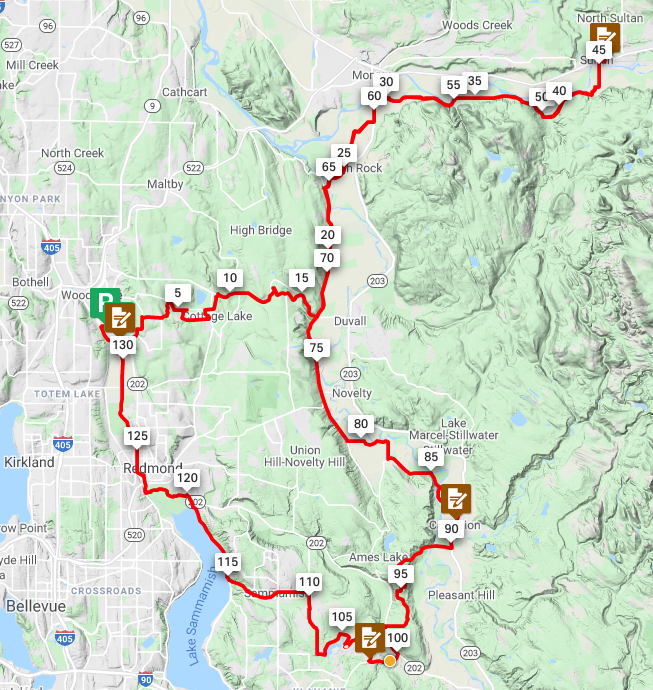
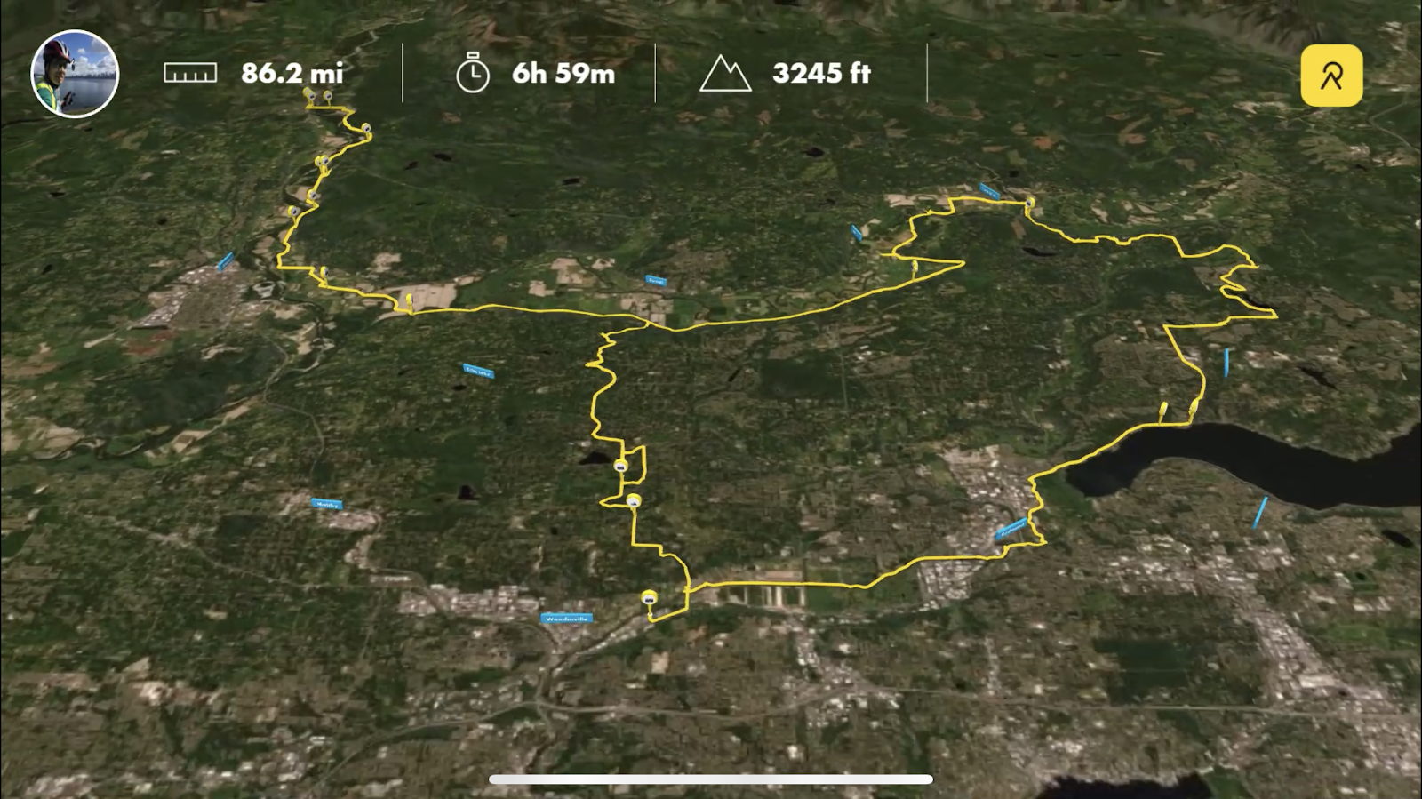
The Route
Ride with GPS: https://ridewithgps.com/routes/38225344
Long, gradual 1-2% railroad grades on the Centennial Trail itself and Skagit flats.

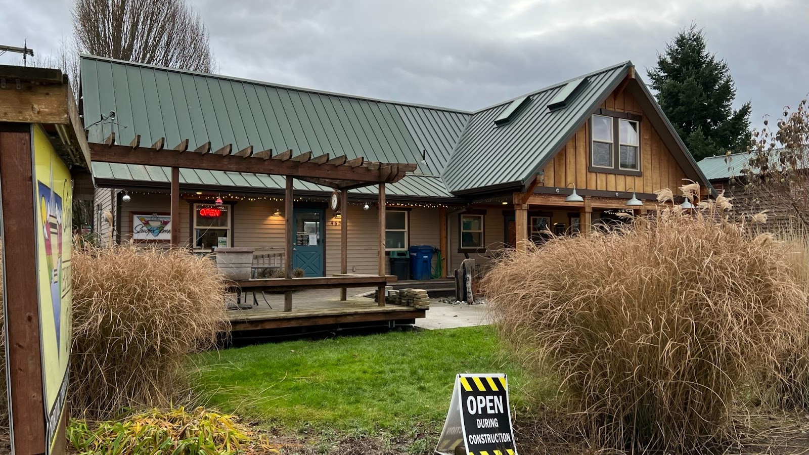
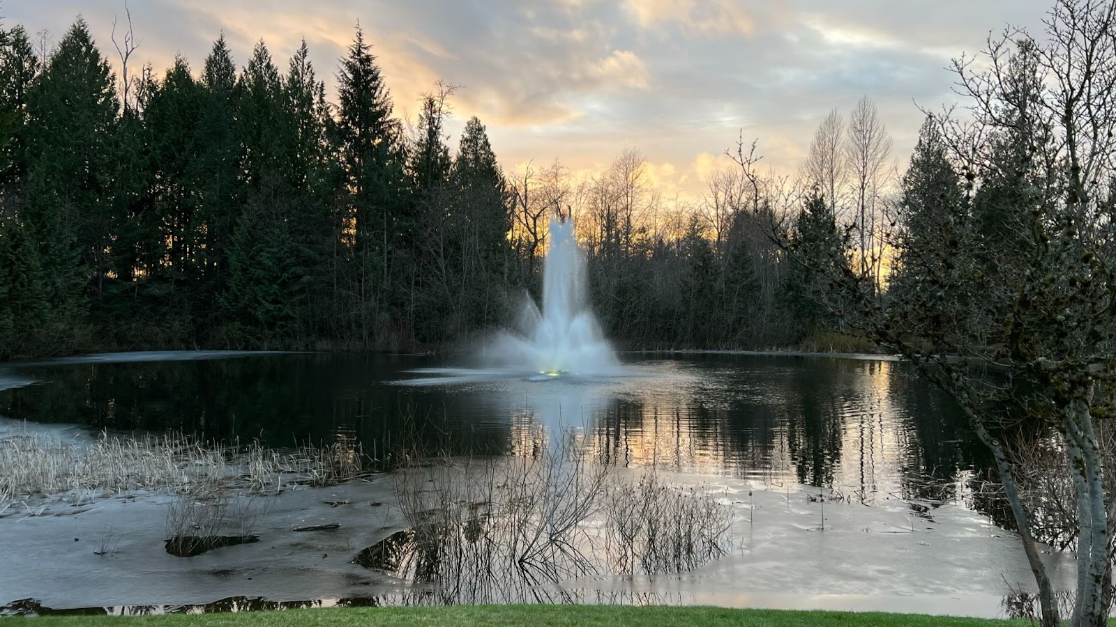
Start location @ Spada Farmhouse Brewery
We’ll try to gather in front, on the sidewalk/adjacent lot. There’s also an empty field of green grass across the street (Snohomish Farmers Market) in case we need a larger space.
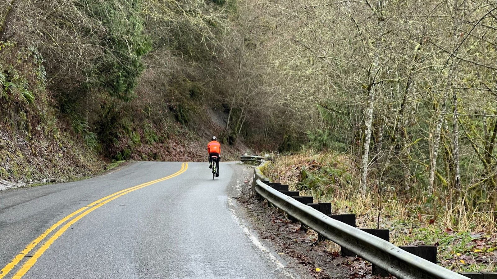
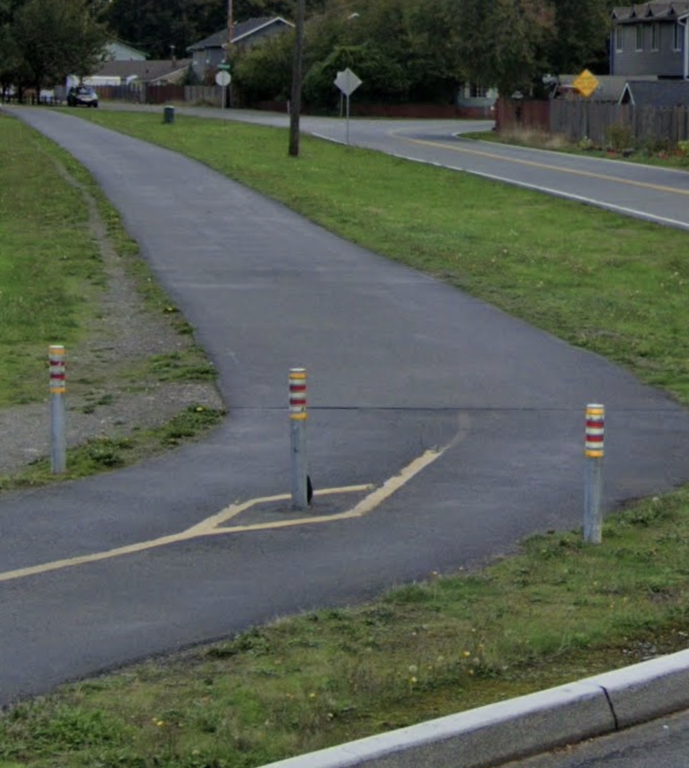
Centennial Trail
Frequently featured in SIR routes and well-traveled, Centennial Trail provides a shared-use refuge for cyclists and pedestrians. Make note of the bollards though.
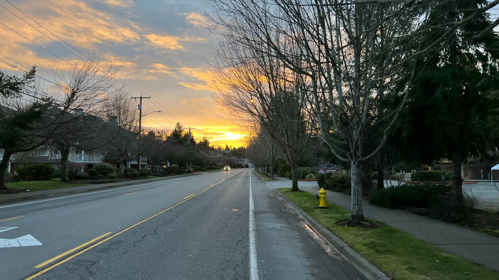
Arlington
Restrooms at Legion Memorial Park at around 22 miles / 36 km
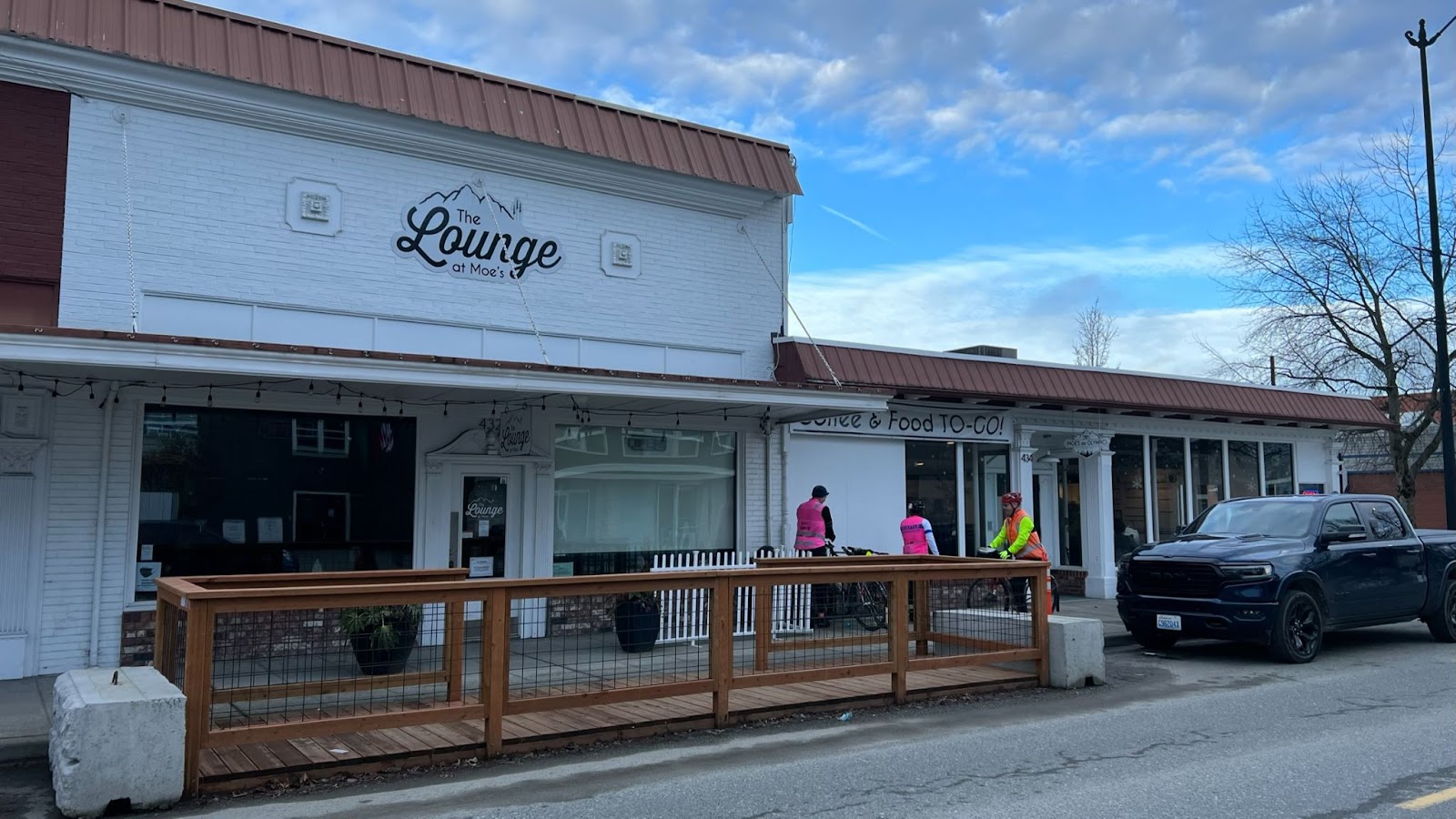
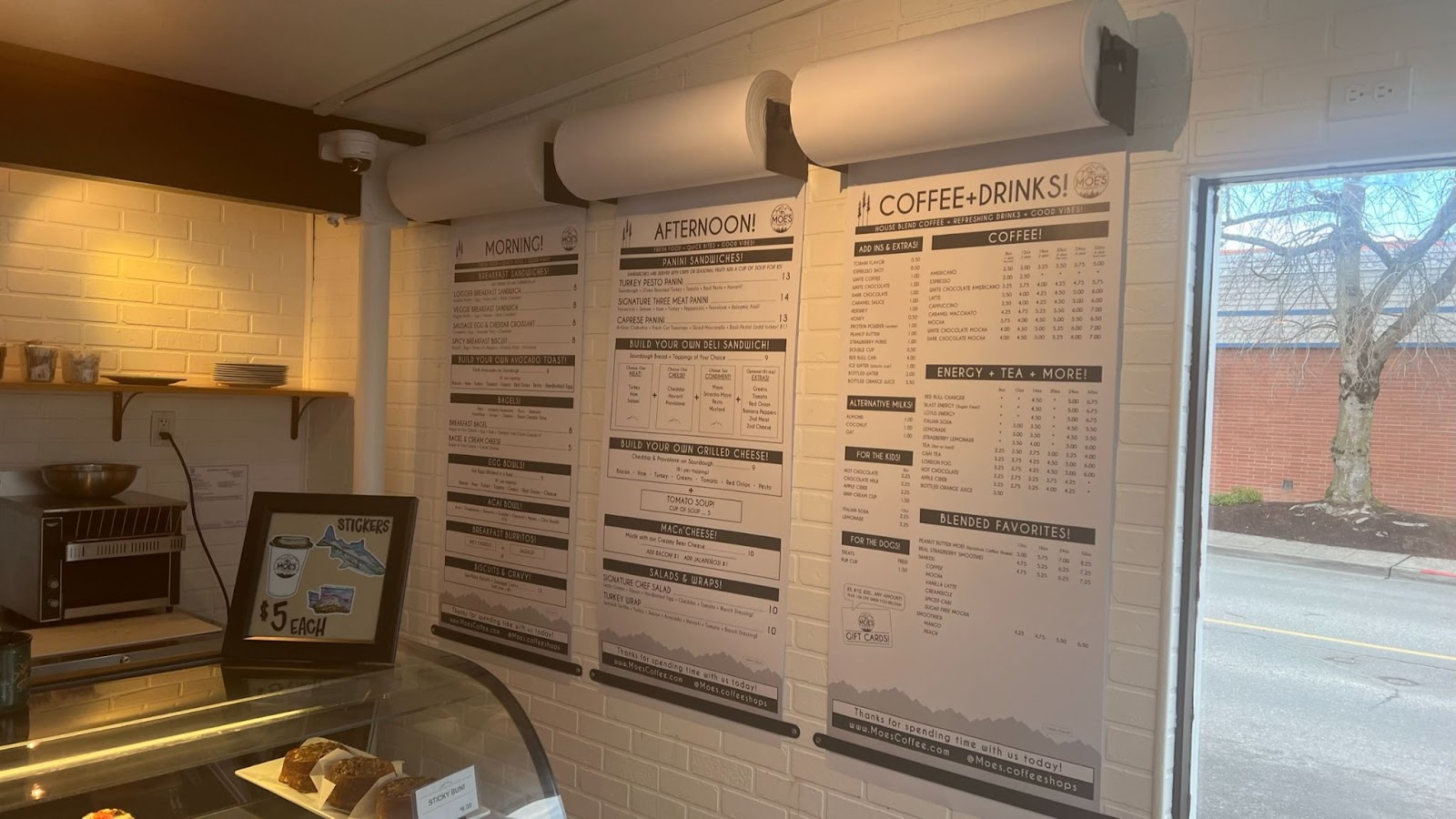
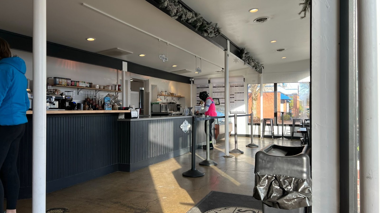
The Lounge at Moe’s is off-route one block on Olympic Ave. Take West 5th Street from the Centennial Trail and turn right onto Olympic Ave.
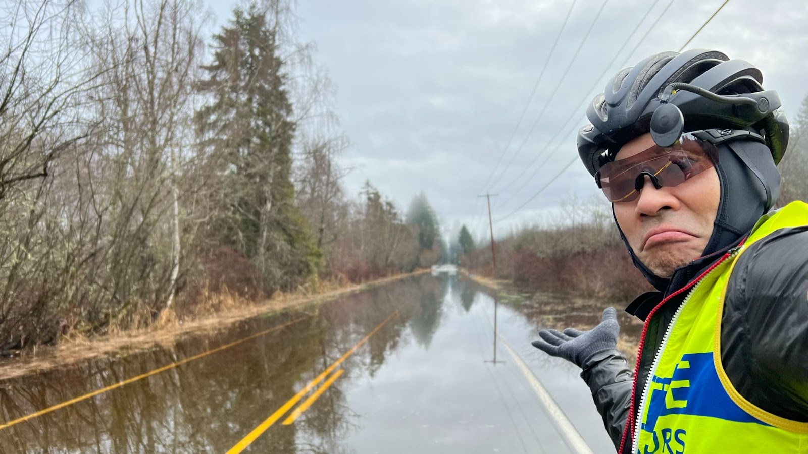
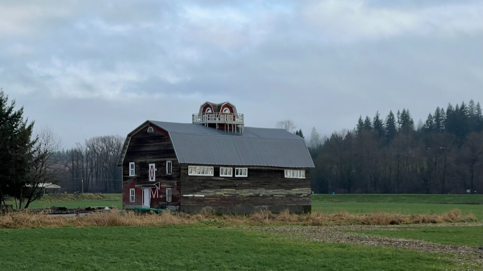
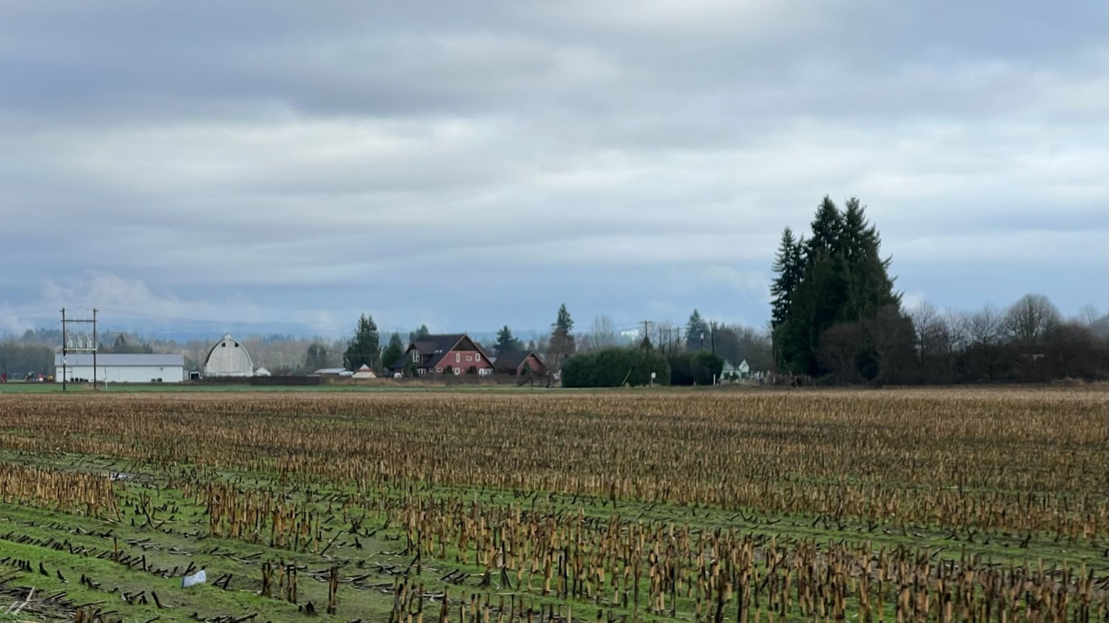
Skagit Flats
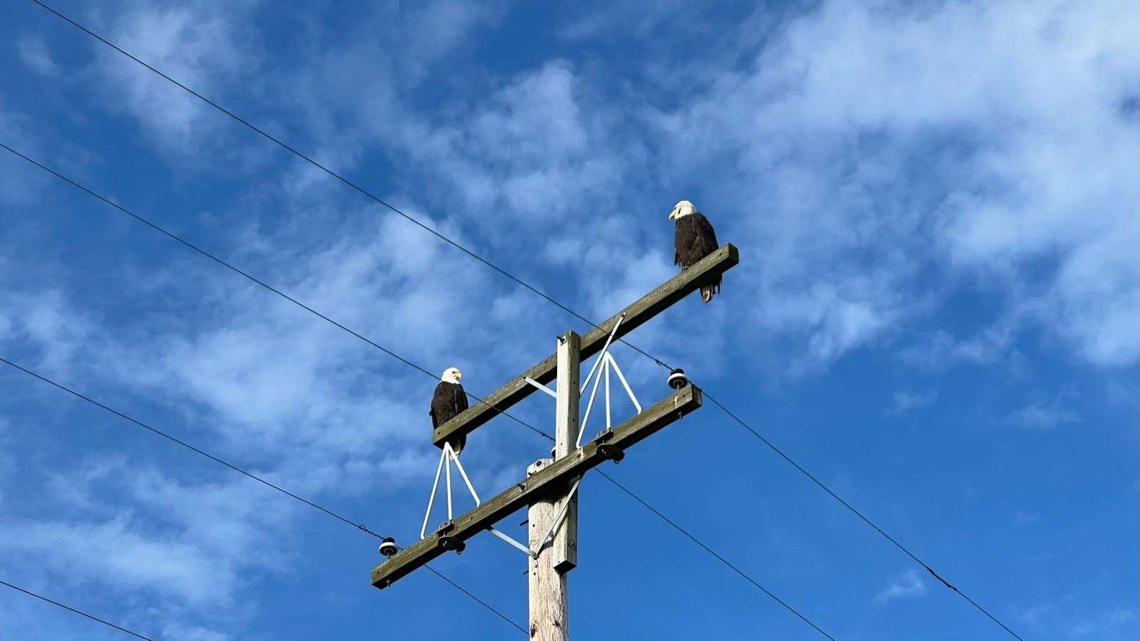
Up in the trees and on power poles, you may see Bald Eagles.
Down low in the fields flocks of geese honk.

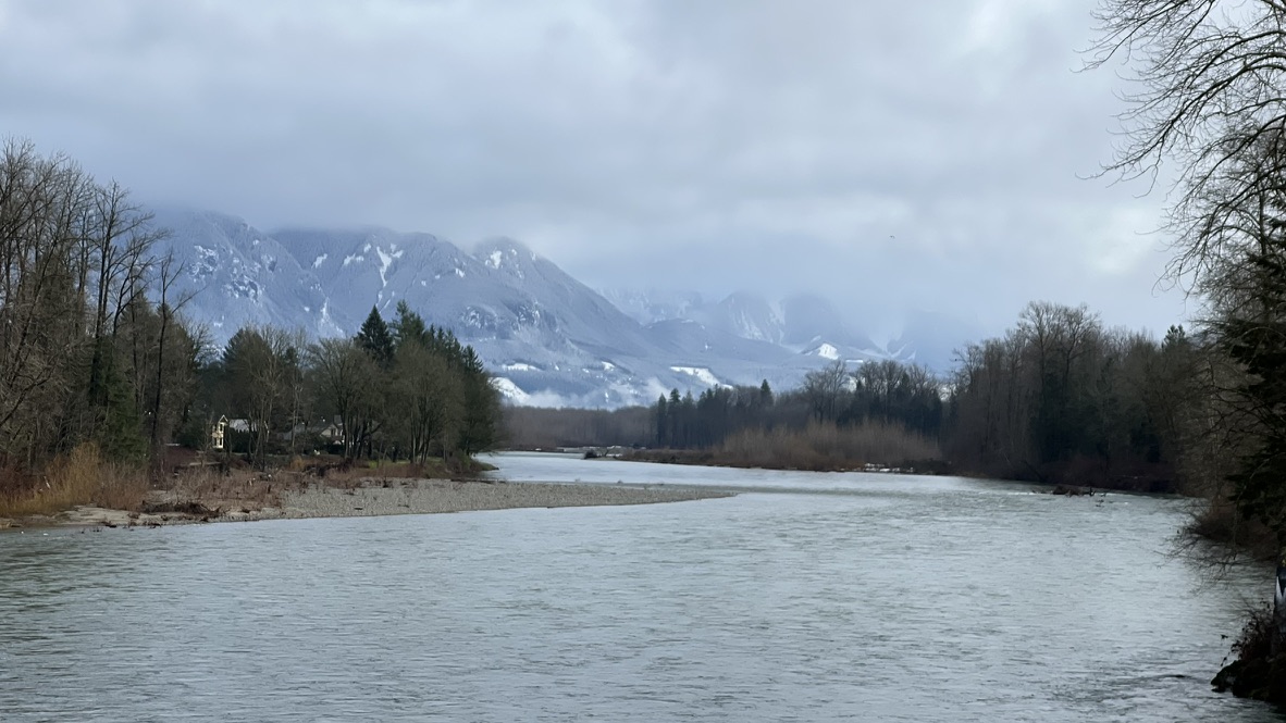
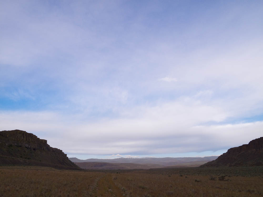
Out far across the Skagit flats, snow capped mountains hide behind clouds.
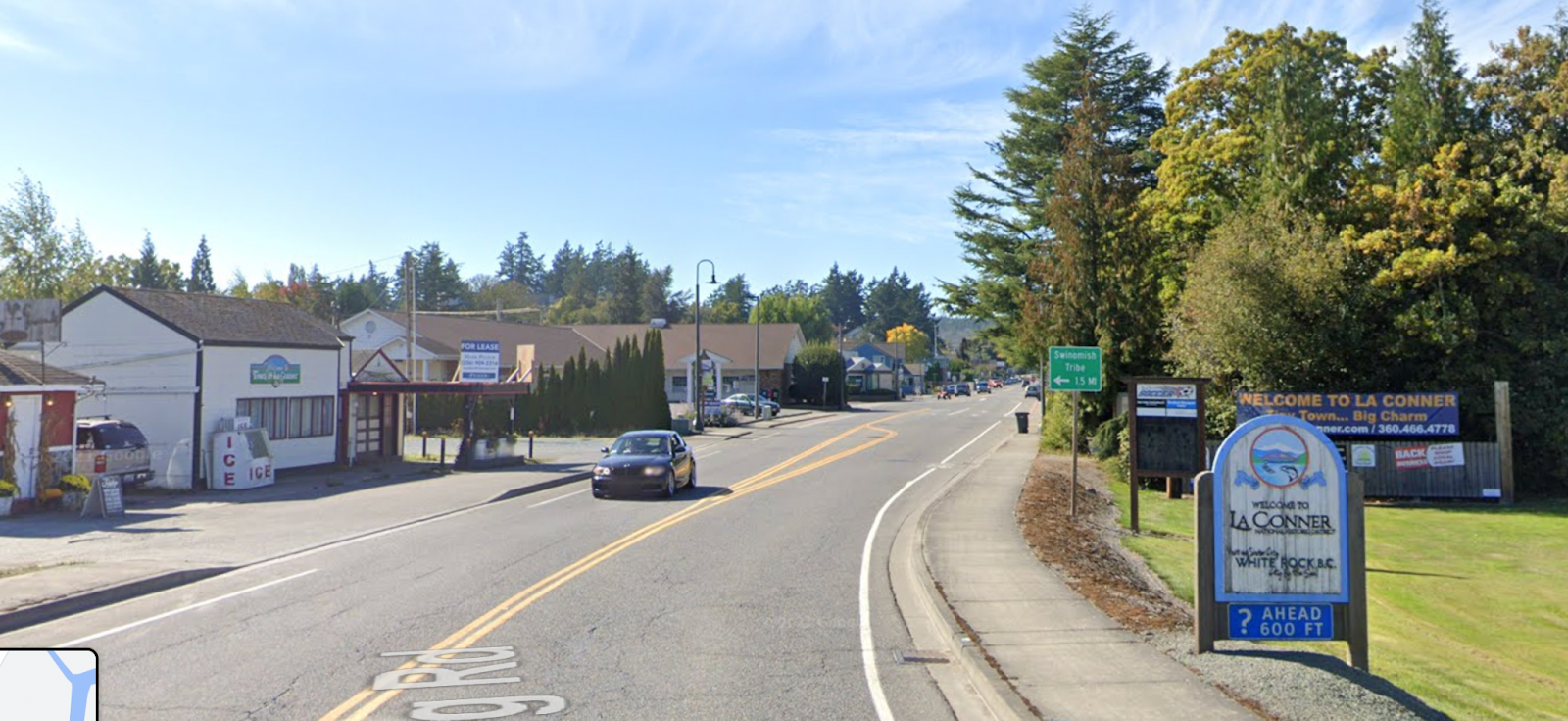
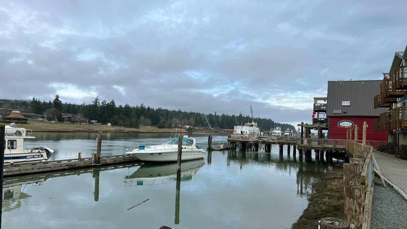
La Conner
48.9 miles / 78.7 km – about half-way there!
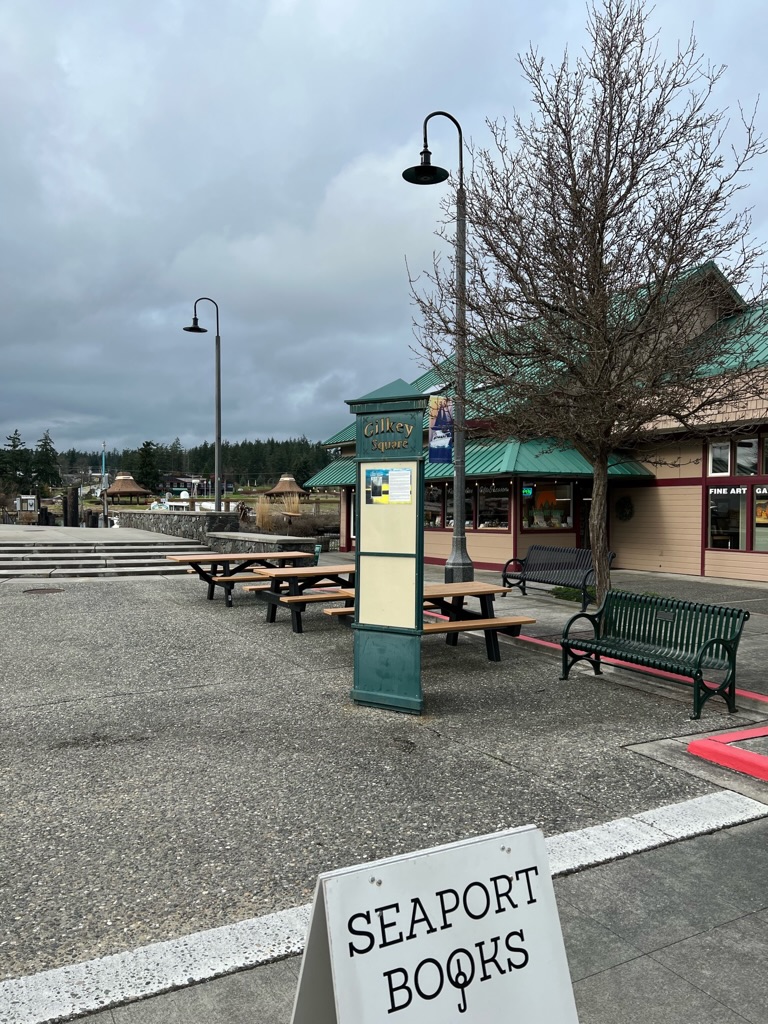
Gilkey Square – La Conner Info Control
49.3 miles / 79.4 km at the end of Morris Street, you’ll arrive at Gilkey Square where the info control can be found. Mark read my mind on a reasonable landmark question. HINT: we won’t be asking you to find a yellow fire hydrant with numbers on it but the actual sign with the info control question will be nearby.
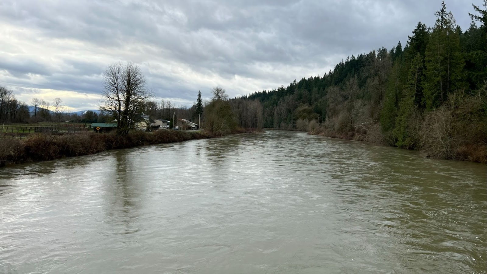
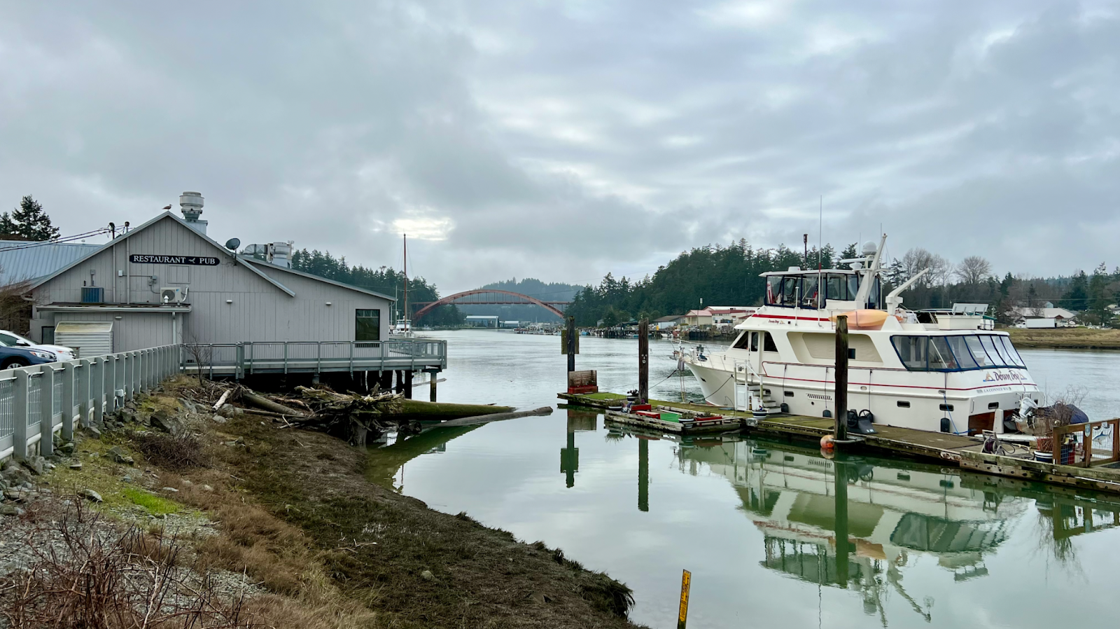
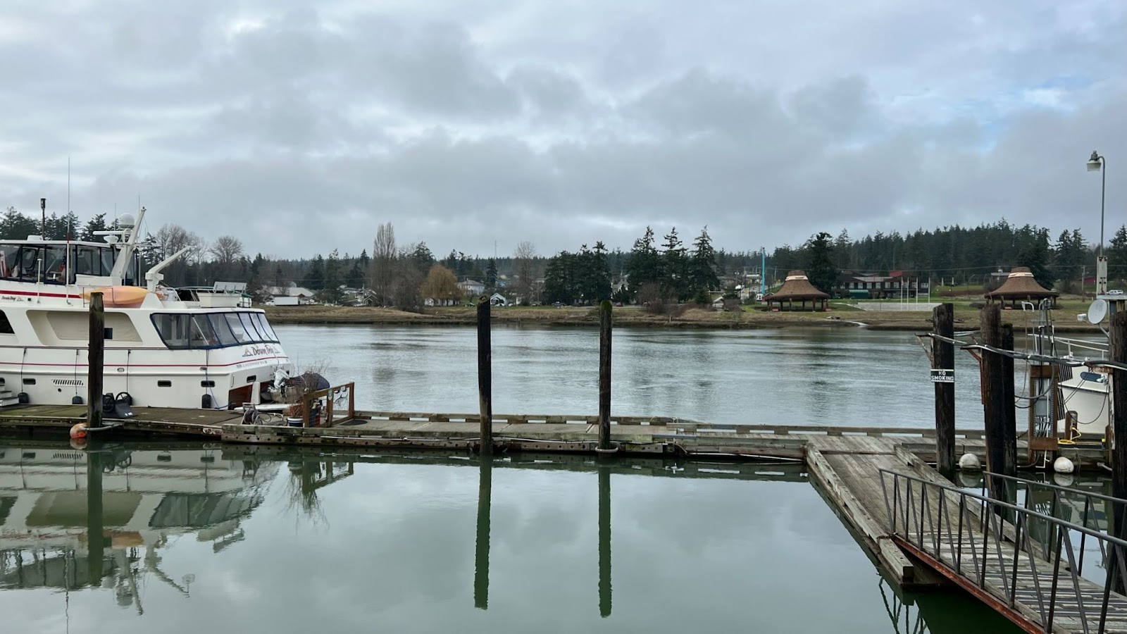
Soak in the view of the Swinomish Channel.
Refuel & Rest
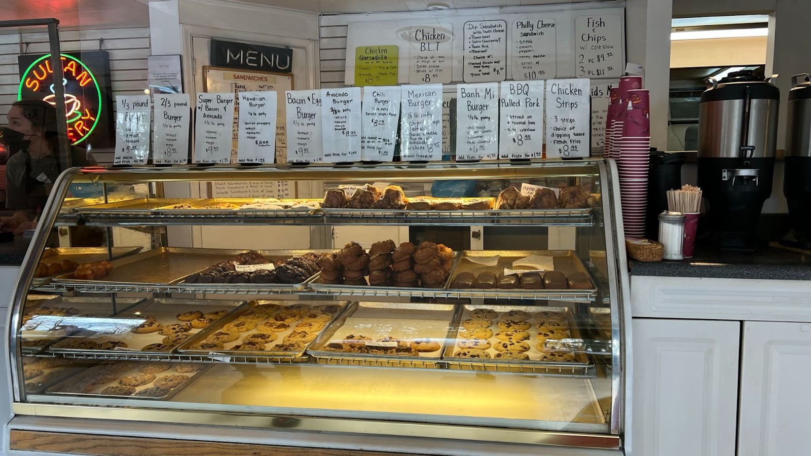
After the info control, there are numerous options in La Conner to refuel, caffeinate, and grab a pint if you like.
Search on Google Maps:
Highlighting a few…
North:
- The Scone Lady Bakery, 109 N 1st St, La Conner, WA 98257
South:
- La Conner Coffee Company, 602 1st St, La Conner, WA 98257
- Calico Cupboard Old Town Cafe, 720 1st St, La Conner, WA 98257
East:
- Public Restrooms, 302 Morris St, La Conner, WA 98257
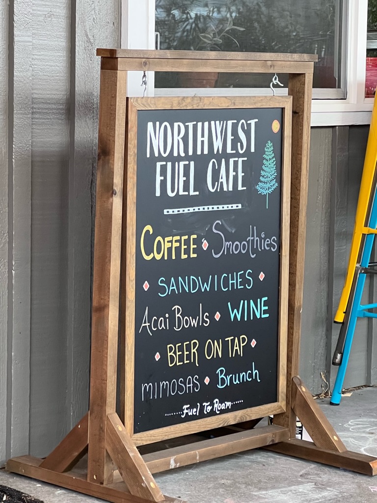
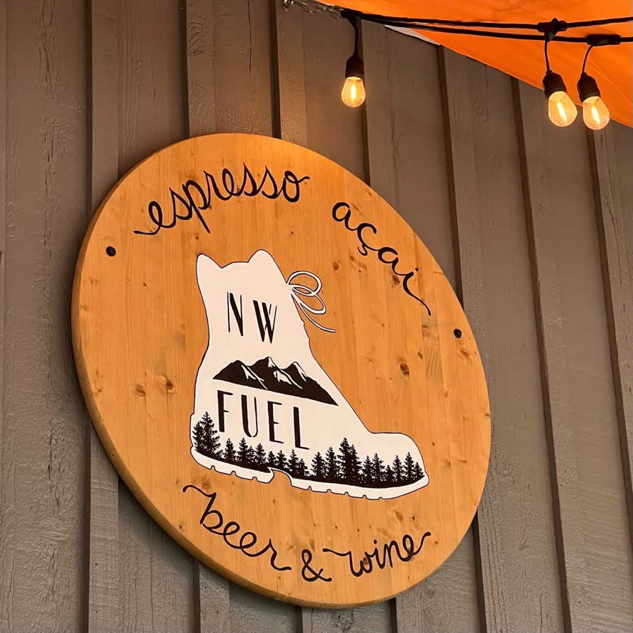
- NW Fuel Cafe, 313 Morris St #4, La Conner, WA 98257
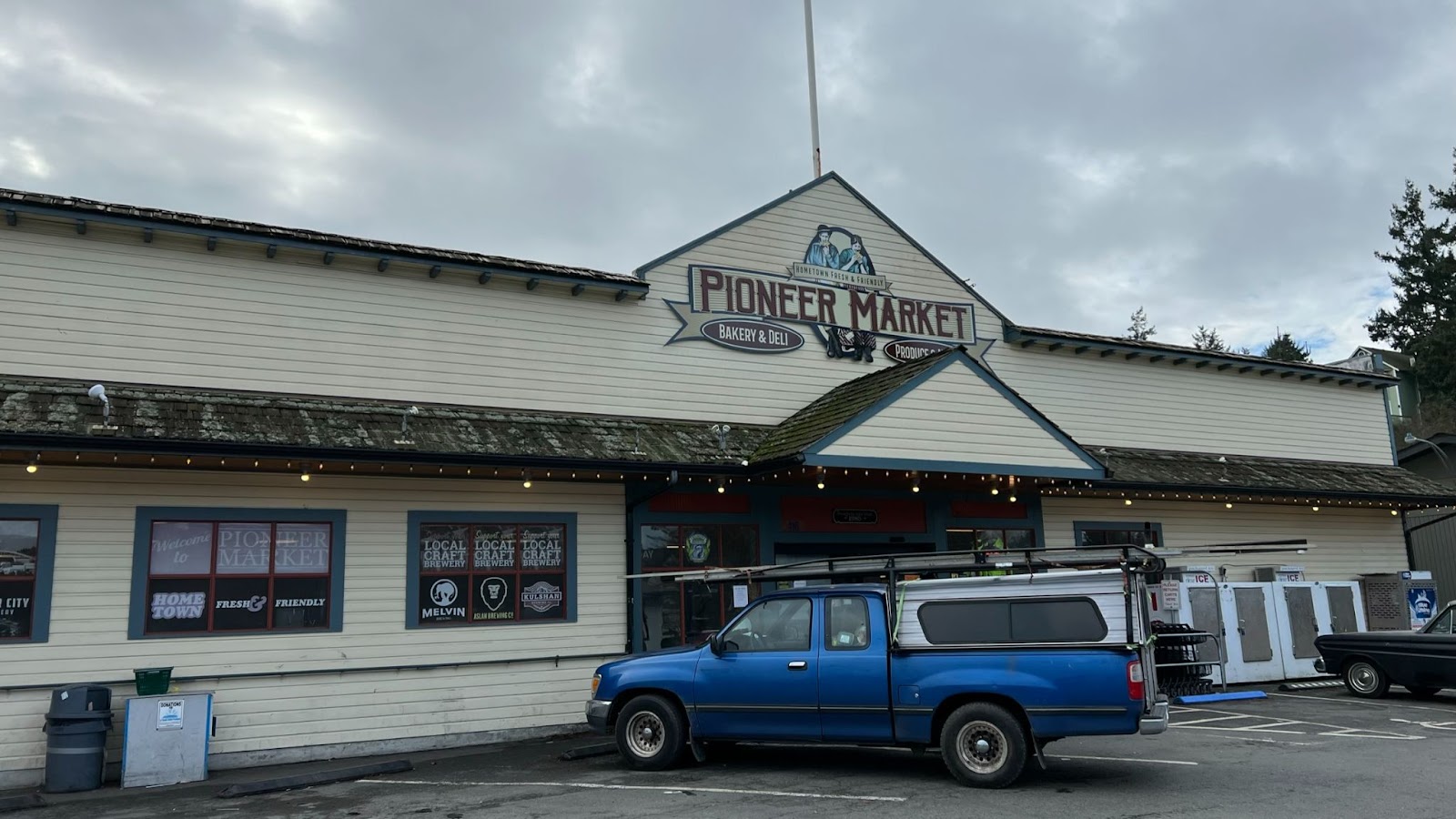
- Pioneer Market, 416 Morris St, La Conner, WA 98257
- Stompin Grounds Coffee Co, 603 Morris St, La Conner, WA 98257
And back…
Kevin stashed and encouraged us to Lake McMurray with a hand pie on the return!

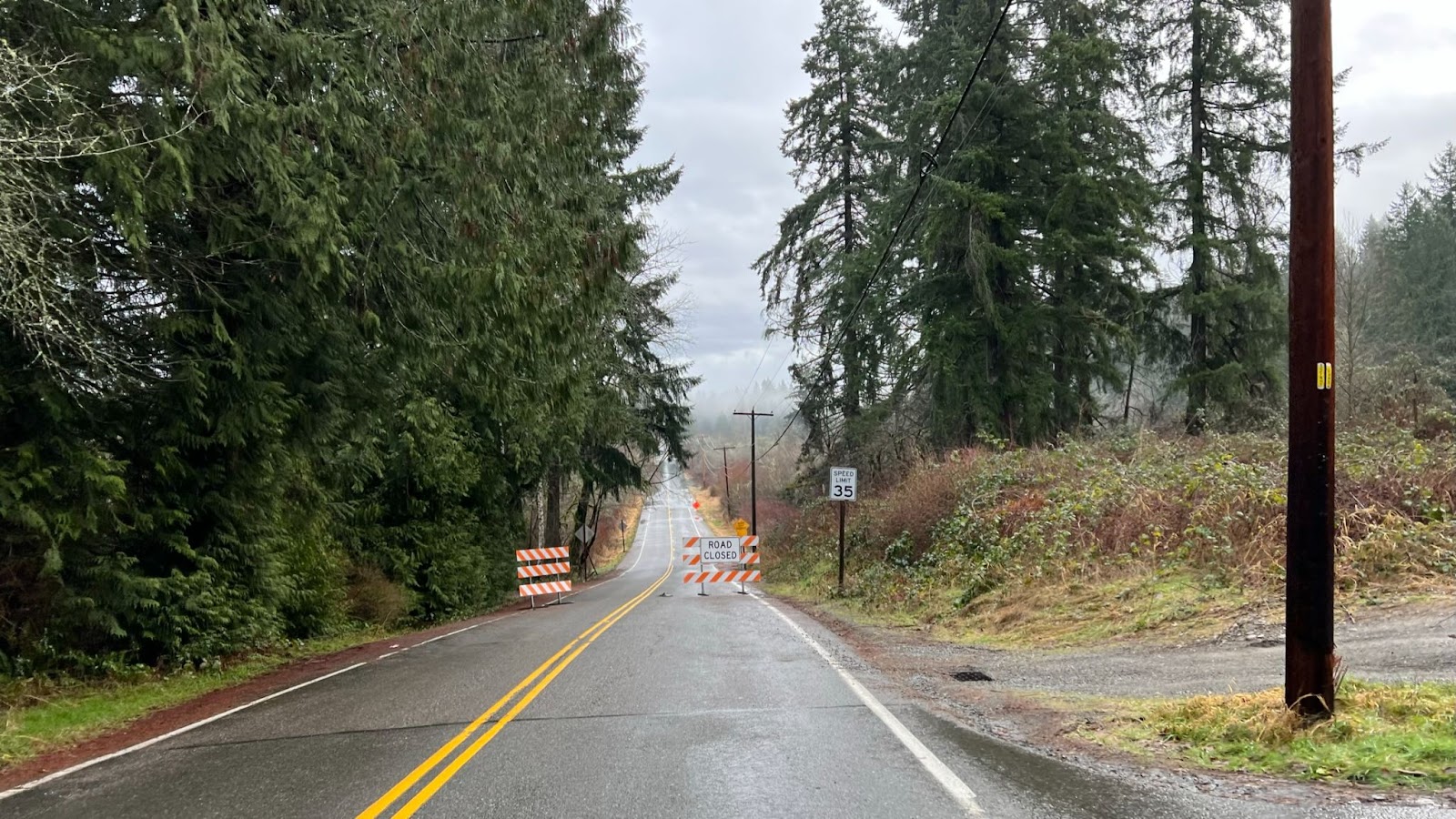
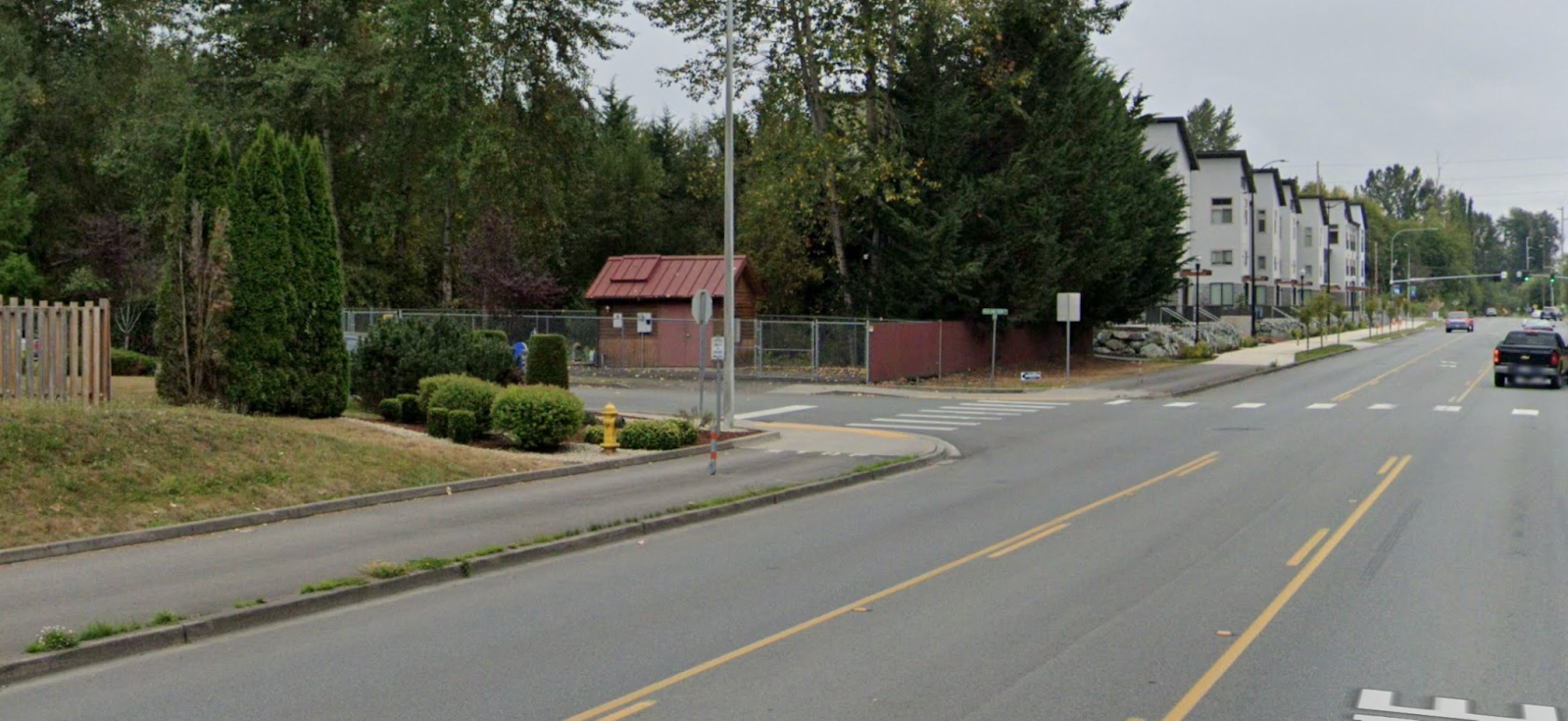
CAUTION: Arlington, Centennial Trail is on the sidewalk along 67th AVE NE against the flow of traffic. Automobiles cross trail from side streets. Take note of stop signs. Drivers may not see you.
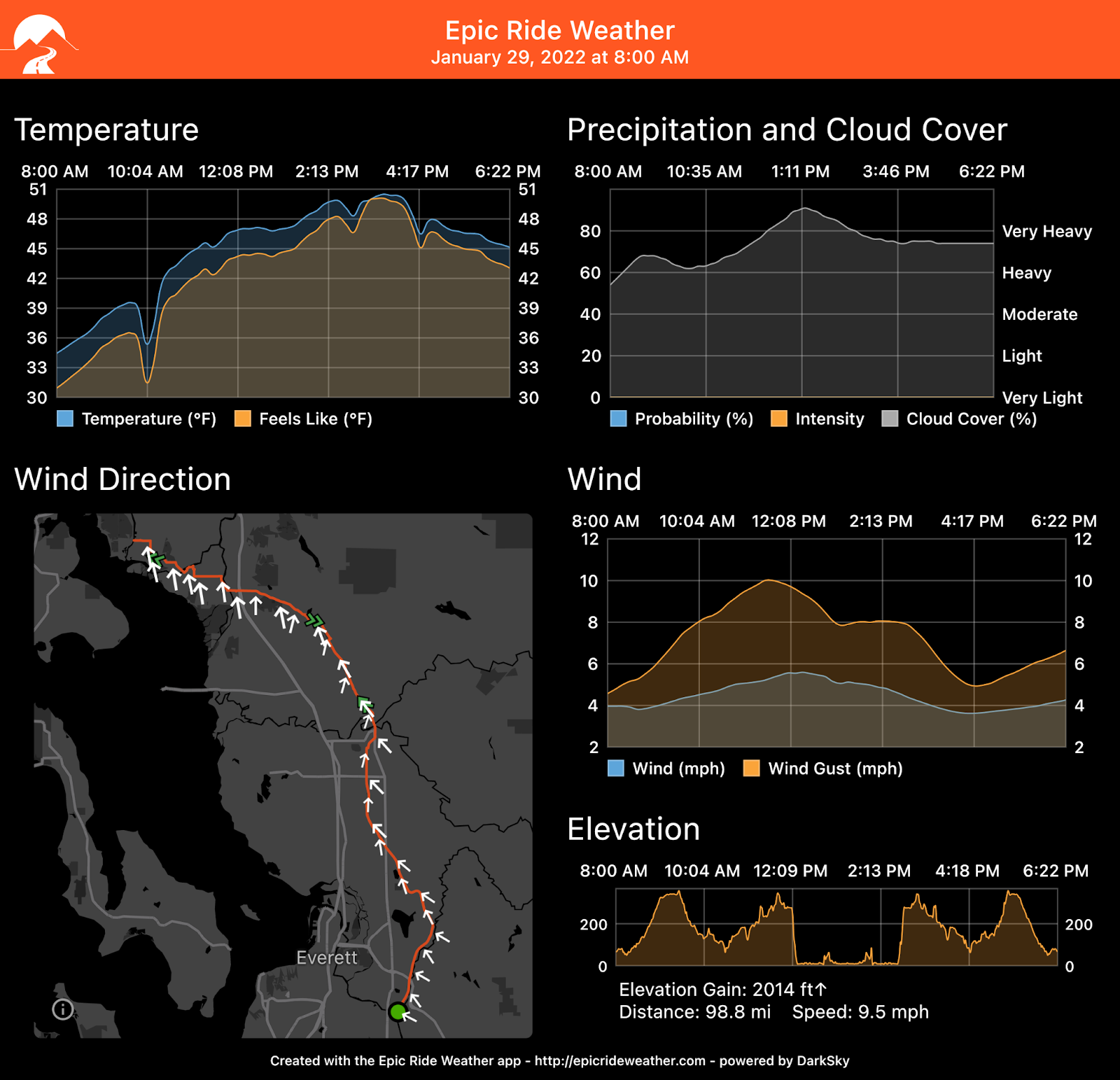
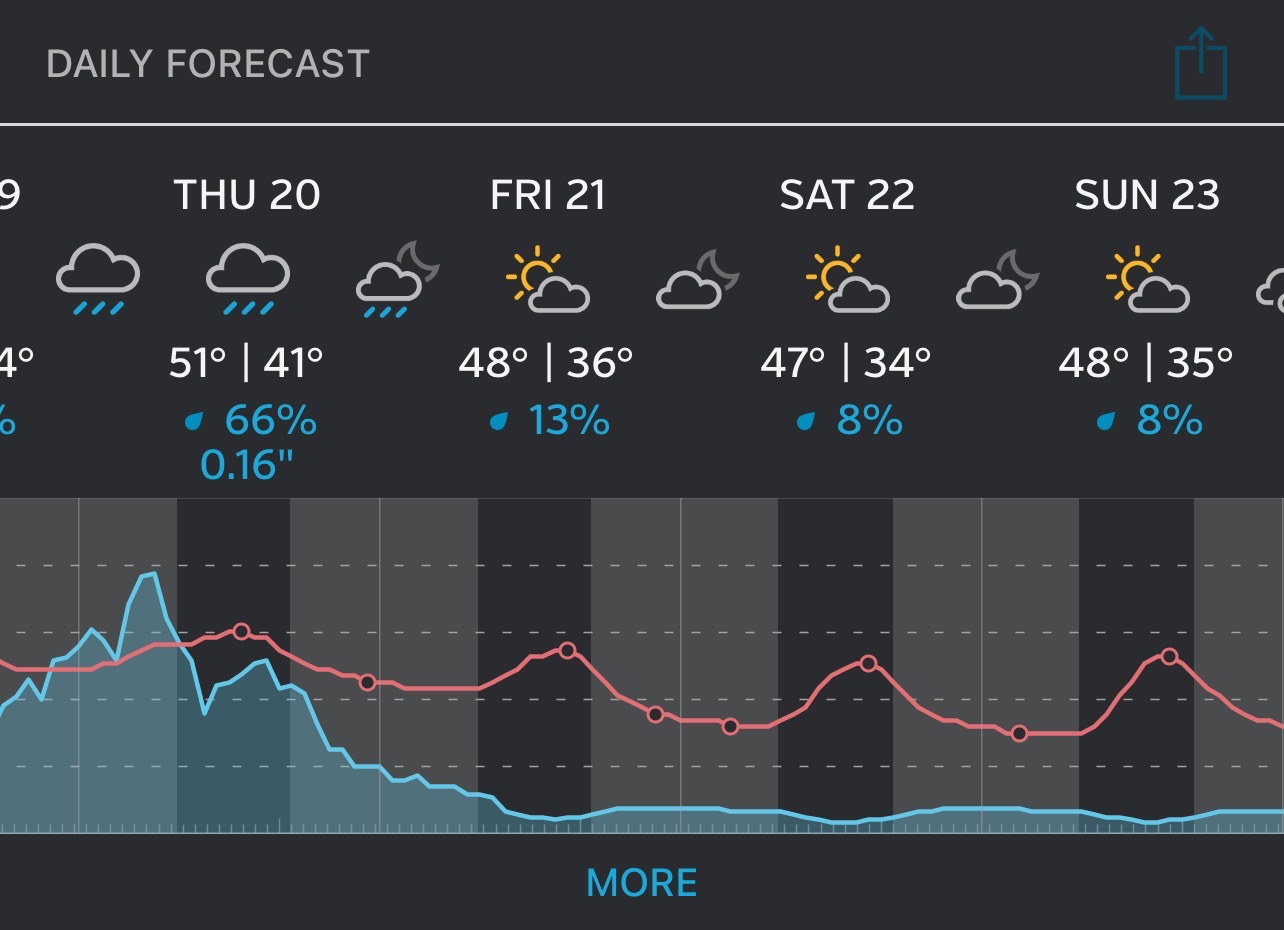
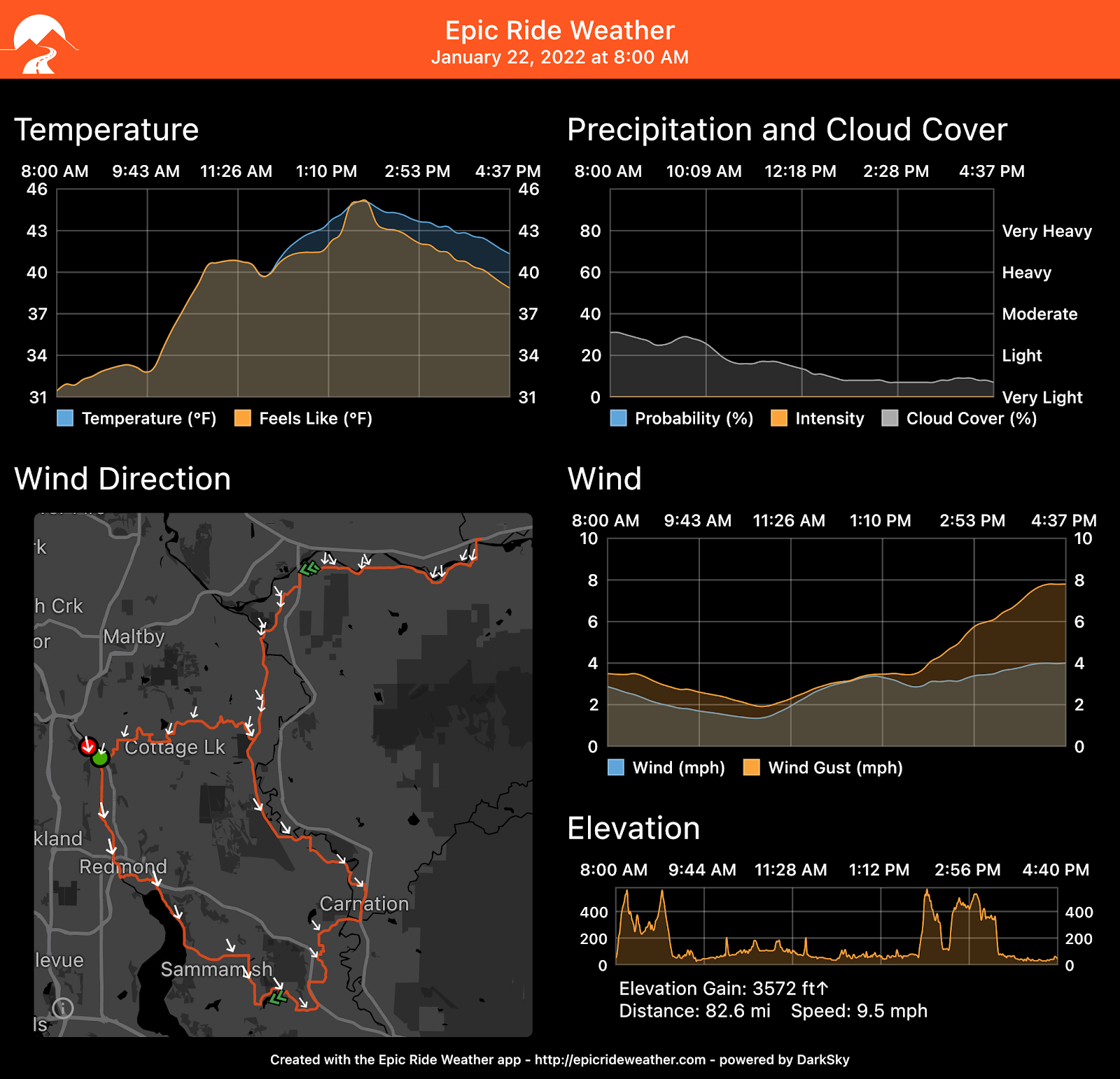
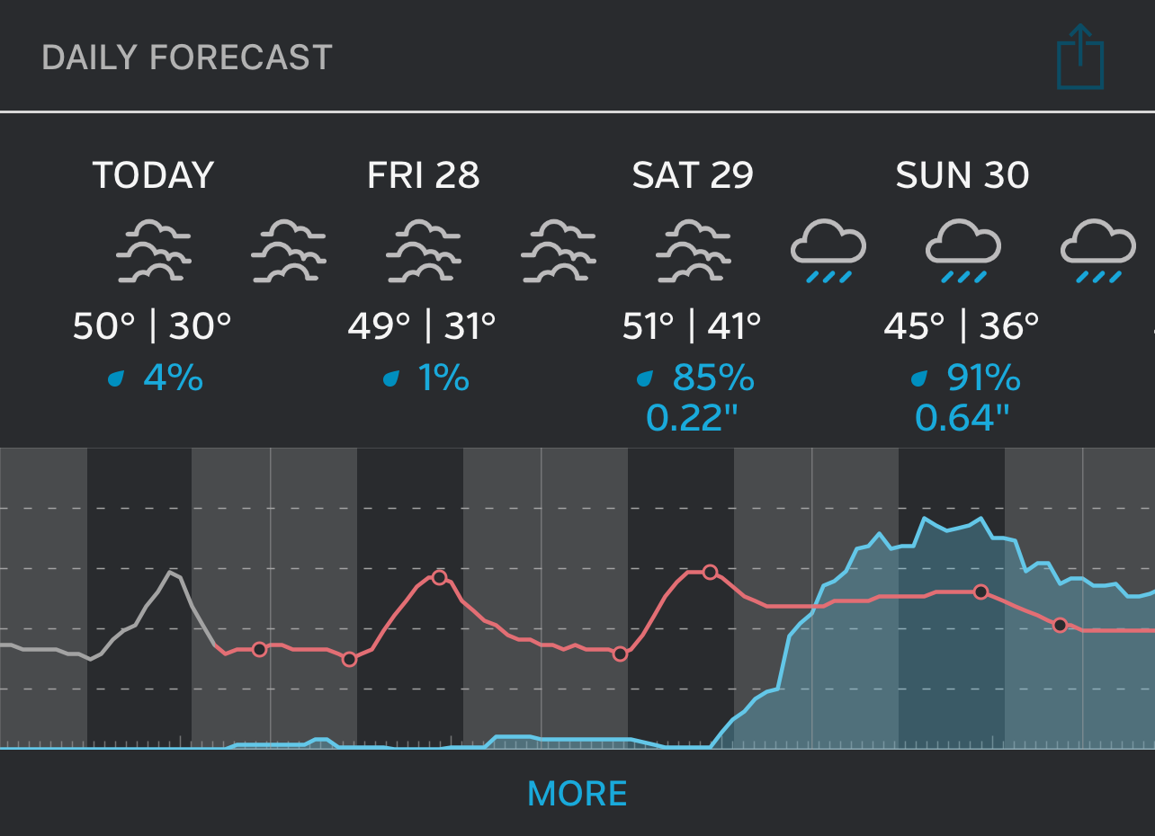
Weather Forecast
For Snohomish
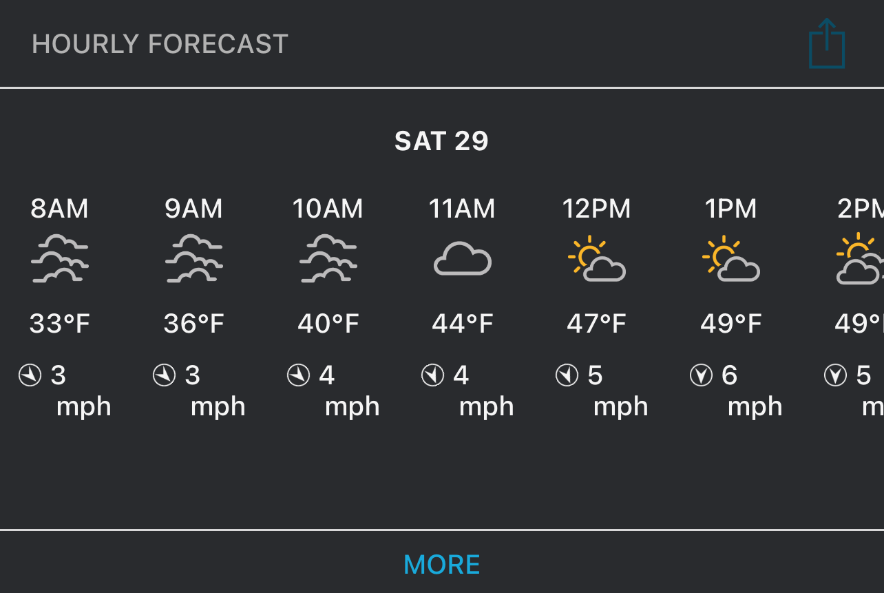
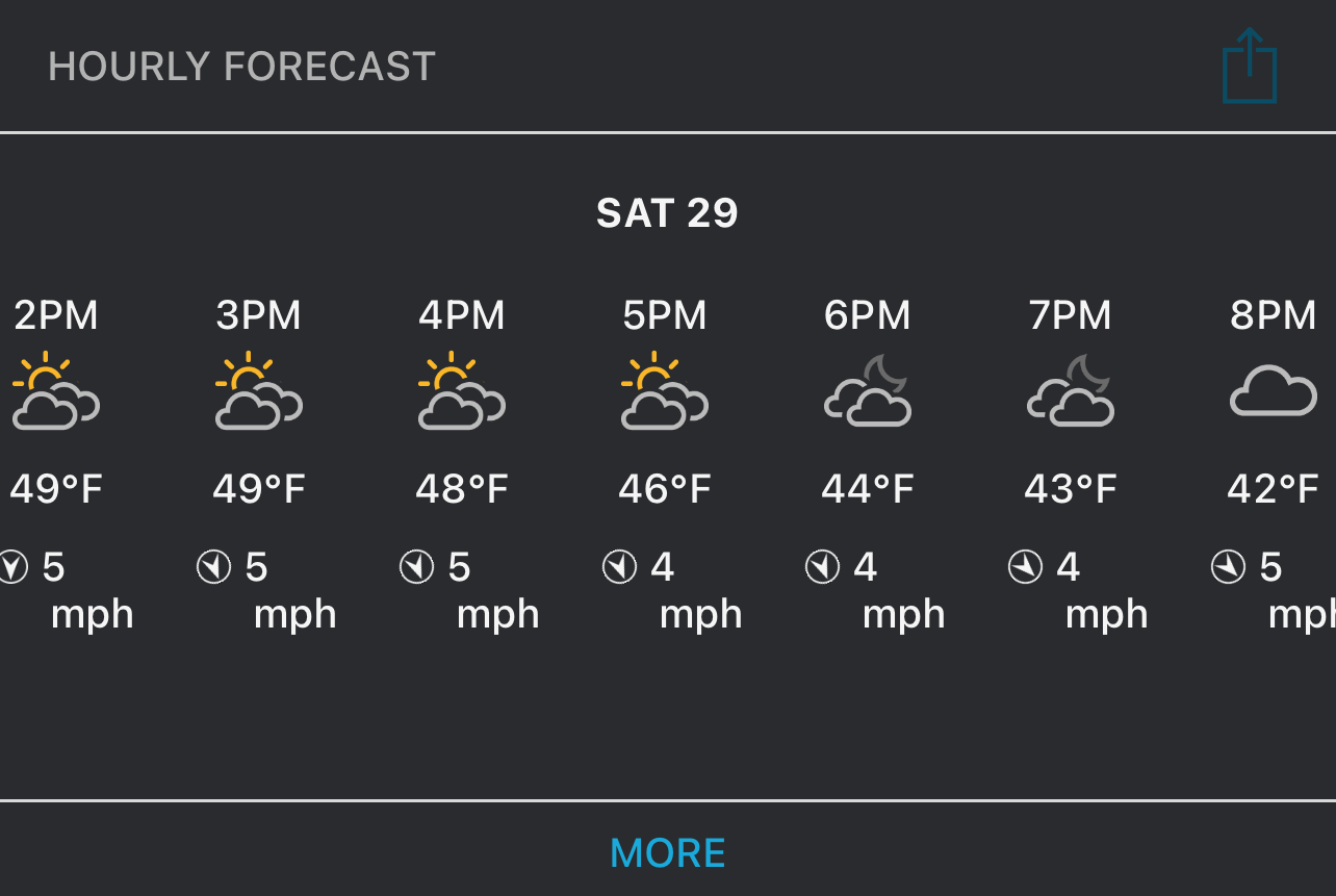
For La Conner
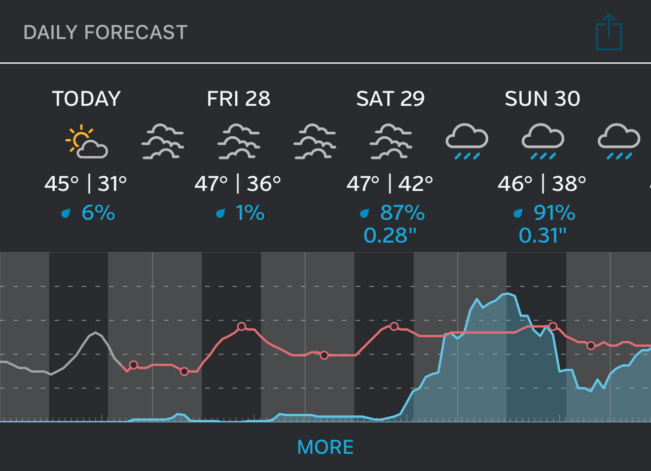
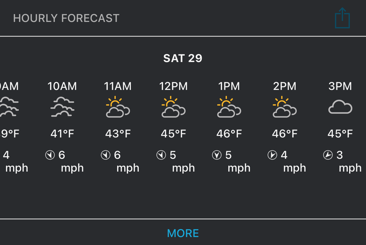
Epic Ride Weather